400
Hike #117
Cockaponset Trail (Includes the Wildwood, Old Forest Trail, North Pattaconk, and South Pattaconk trails)
Chester, CT and Haddam, CT
Hike Distance: 14.49 Miles
Date Hiked: 12/7/2014
Date Published: 12/9/2014
Hike #117
Cockaponset Trail (Includes the Wildwood, Old Forest Trail, North Pattaconk, and South Pattaconk trails)
Chester, CT and Haddam, CT
Hike Distance: 14.49 Miles
Date Hiked: 12/7/2014
Date Published: 12/9/2014
For this hike, I decided to continue
working on the trails described in the East version of the Connecticut Forest
and Parks Association Walk Book. After
the Chatfield Trail, which I hiked/recapped last week, the very next trail
described in the Walk Book is the 7.4 mile Cockaponset Trail.
From the Walk Book:
Cockaponset State Forest contains more than 16,000 acres. The first parcel of the forest was purchased in 1926. The first parts of the Cockaponset Trail were started in 1934 as a Civilian Conversation Corps (CCC) project. The fruits of the CCC labors can be seen on the northern parts of the trail. Look for excellent grading and rockwork. Also, east of the trail just north of Jericho Road, you can see the footings of the old CCC-constructed Turkey Hill Observation Tower. The trail also passes several old charcoal productions sites.
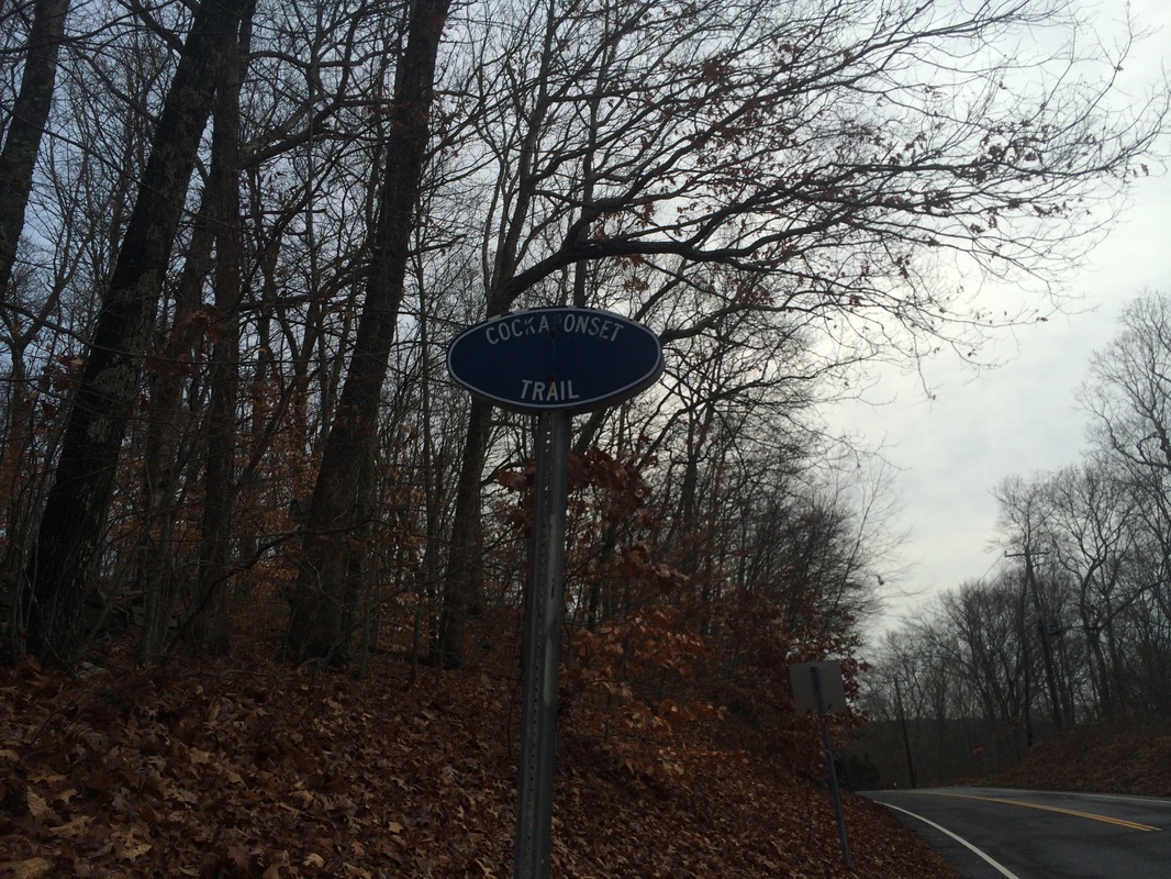
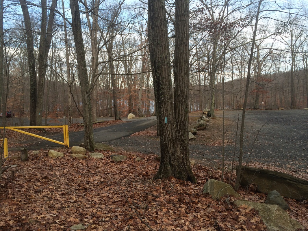
To reach the trailhead (I decided to park at the southern trailhead), I drove down I-91 South to Route 9 South, through Middletown. At exit 6, I made a right on Route 148 (heading west) and followed that for approximately 2.5 miles. There is parking for five or six vehicles on the south side of 148 across from the Filley Road forest gate. Look for the blue oval trail sign on the right side of the road and park in the open space across from it…
From the Walk Book:
Cockaponset State Forest contains more than 16,000 acres. The first parcel of the forest was purchased in 1926. The first parts of the Cockaponset Trail were started in 1934 as a Civilian Conversation Corps (CCC) project. The fruits of the CCC labors can be seen on the northern parts of the trail. Look for excellent grading and rockwork. Also, east of the trail just north of Jericho Road, you can see the footings of the old CCC-constructed Turkey Hill Observation Tower. The trail also passes several old charcoal productions sites.
To reach the trailhead (I decided to park at the southern trailhead), I drove down I-91 South to Route 9 South, through Middletown. At exit 6, I made a right on Route 148 (heading west) and followed that for approximately 2.5 miles. There is parking for five or six vehicles on the south side of 148 across from the Filley Road forest gate. Look for the blue oval trail sign on the right side of the road and park in the open space across from it…
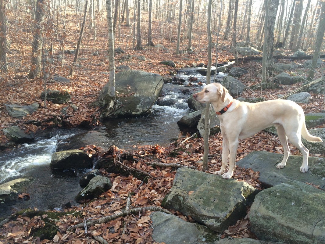
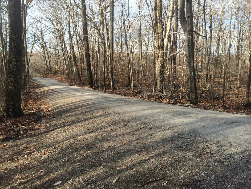
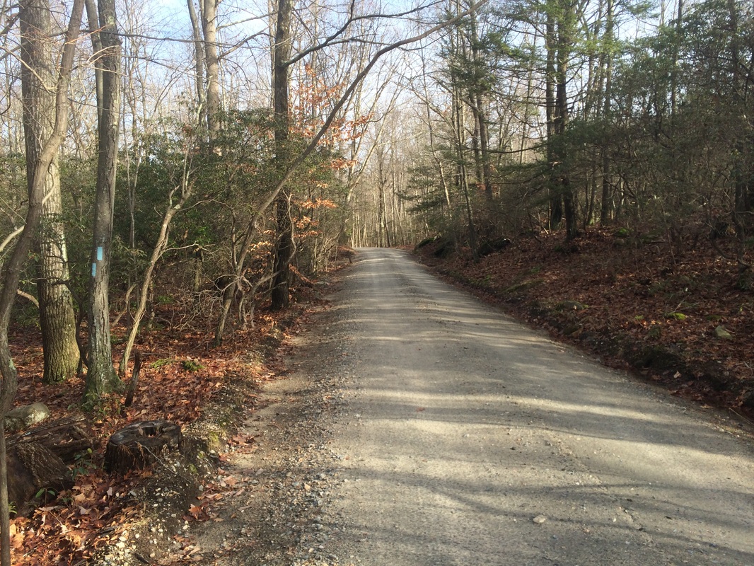
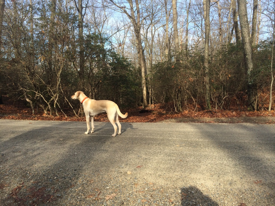
I geared up and we hit the
trail, crossing Route 148 to start our hike.
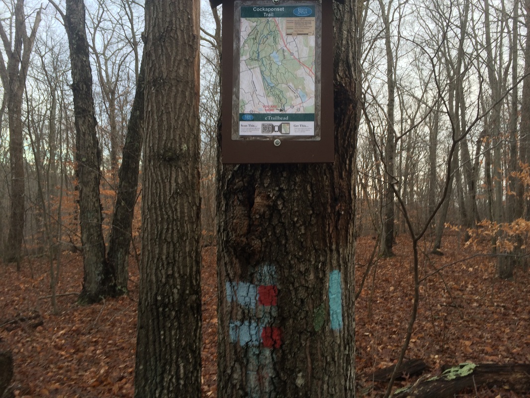
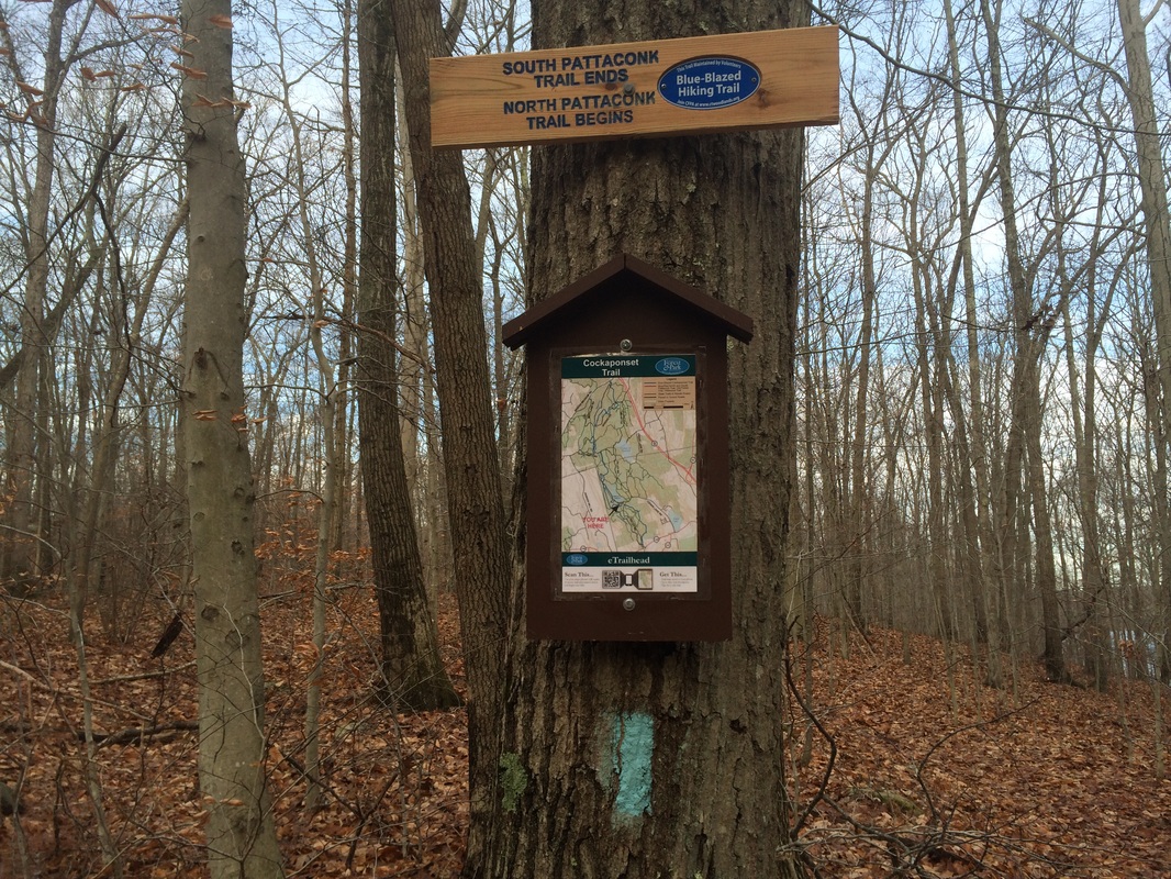
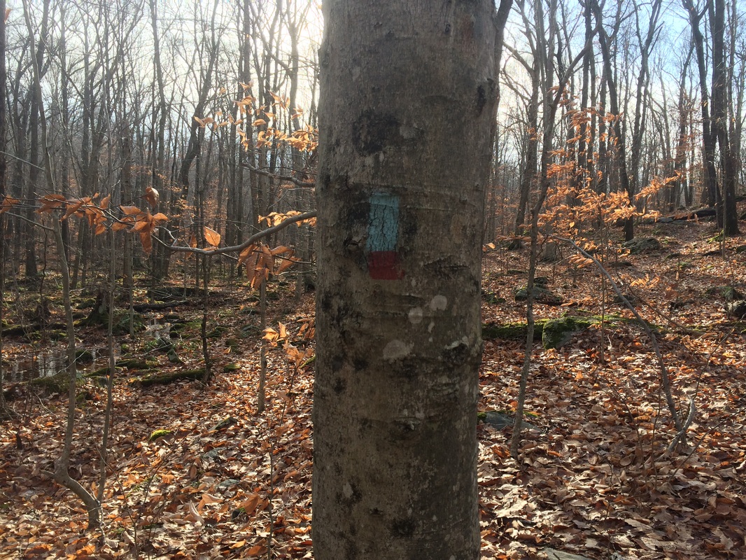
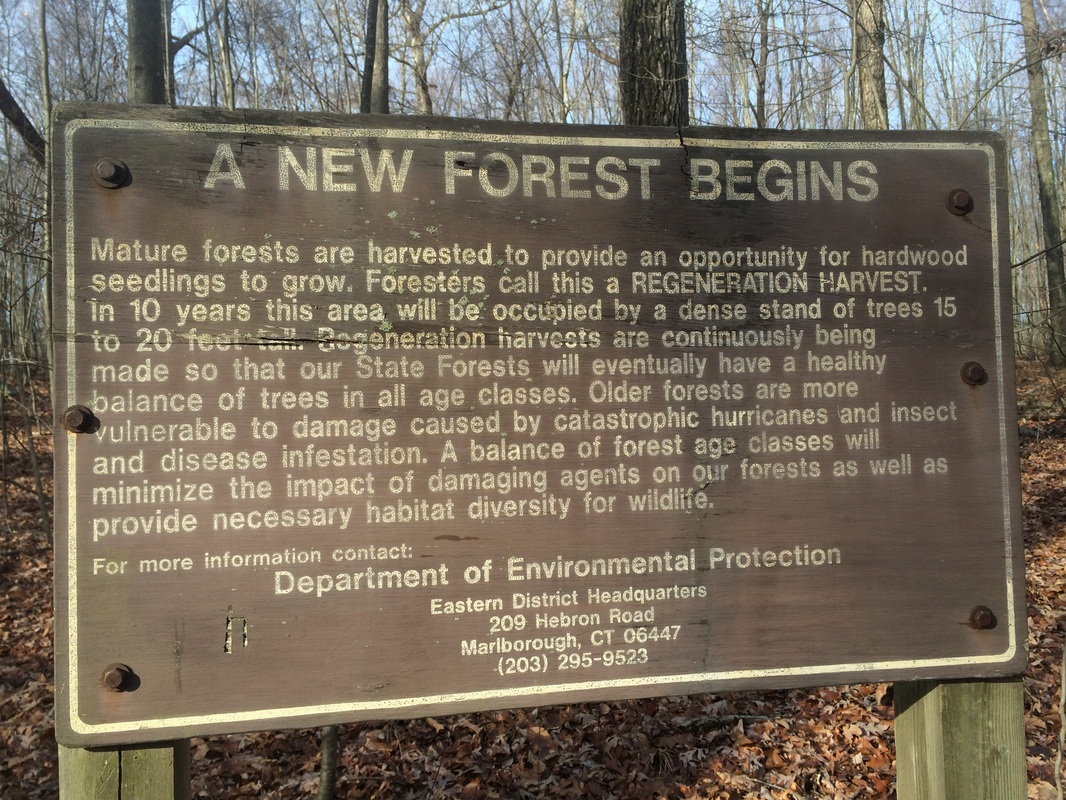
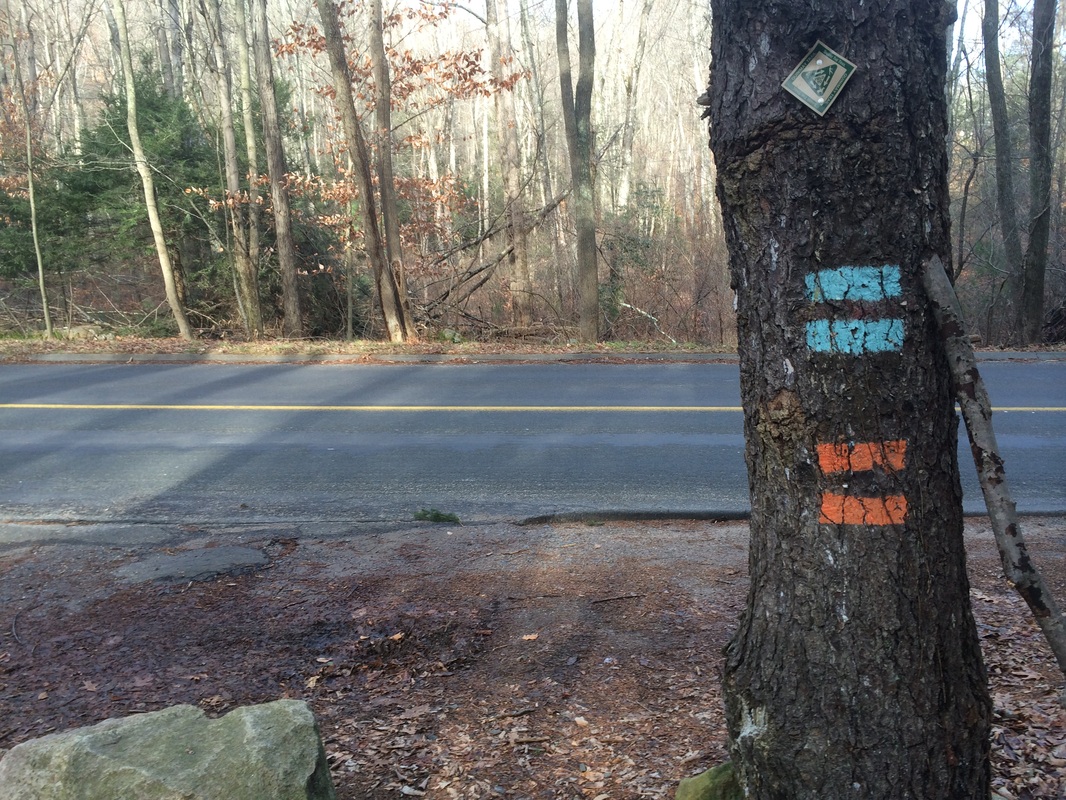
Heading due north and uphill, we passed this sign near the trailhead…
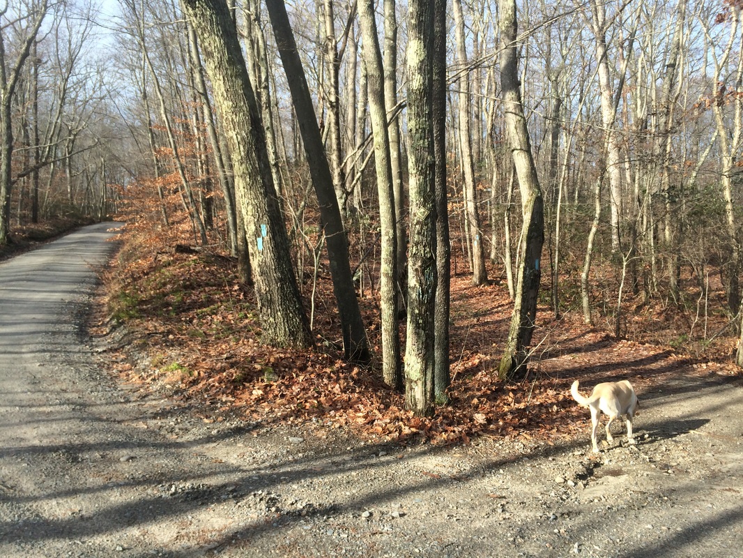
1/10 of a mile in, we passed
the southern terminus of the South Pattaconk Trail…
Later in the day, this
junction would symbolize we were nearing the end of our hike. But, for now, we were just getting
started. We stayed straight and
continued following the blue blazes of the Cockaponset.
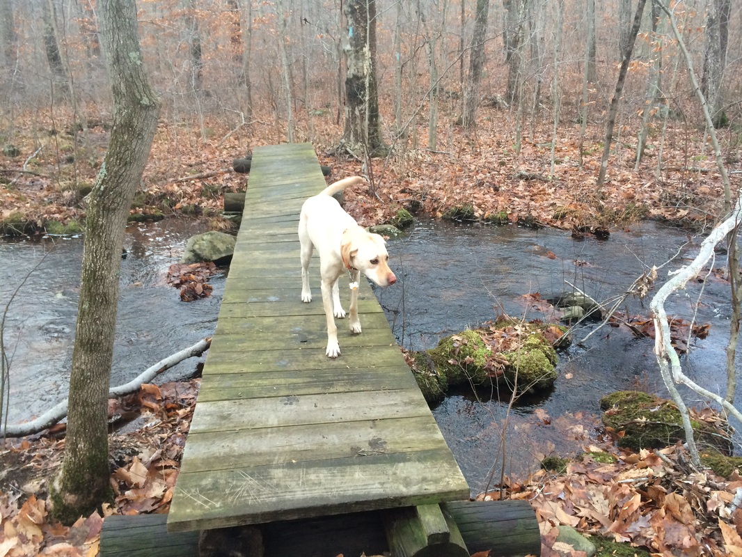
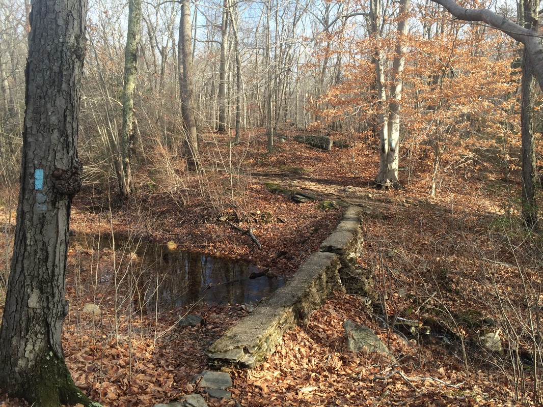
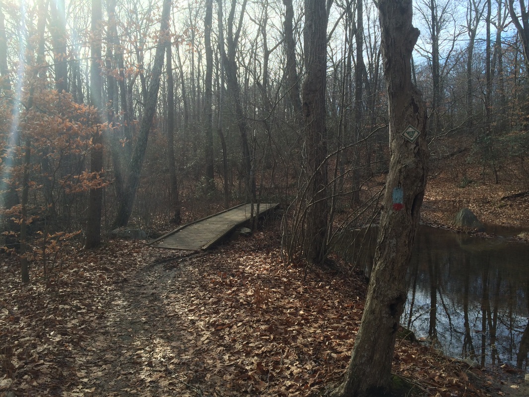
2/10 of a mile in, we crossed Lampes Brook on this footbridge…
2/10 of a mile in, we crossed Lampes Brook on this footbridge…
The Walk Book notes a sharp
turn and an unofficial trail in the area, but I don’t remember seeing any other
trails and found the blazes of the Cockaponset through this section easy to
follow.
Roughly 1.7 miles in, we crossed Filley Road (there is another forest gate here) and passed a couple of large parking areas…
Roughly 1.7 miles in, we crossed Filley Road (there is another forest gate here) and passed a couple of large parking areas…
Filley Road is gated between
Route 148 and these parking areas. But,
the road is passable to the north and these parking areas can be used as an
alternative parking location if you wish.
Sadly, I have no clue how to get here by road…and the Walk Book doesn’t
give directions to these parking areas.
But, GoogleMaps is your friend.
Approximately 1.8 miles in, we reached the Pattaconk Crossover…
Approximately 1.8 miles in, we reached the Pattaconk Crossover…
Here, the South Pattaconk
Trail comes in from the left and becomes the North Pattaconk Trail as it
continues to the right. We continued
straight on the Cockaponset.
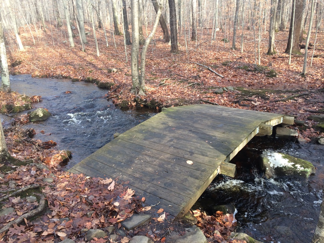
Roughly 2.9 miles in (2.8 per the Walk Book), after descending a few times to cross some smaller streams, the trail crosses Pattaconk Brook on this wooden bridge...
Roughly 2.9 miles in (2.8 per the Walk Book), after descending a few times to cross some smaller streams, the trail crosses Pattaconk Brook on this wooden bridge...
Here, the North Pattaconk
Trail also crosses the brook on the same bridge. There are also several multi-use trails in
the area so be sure to keep an eye out for blue blazes. On the other side of the bridge, the
Pattaconk heads northeast and the Cockaponset heads northwest. We stuck to the Cockaponset…
Approximately 3.3 miles in (3.2 per the Walk Book), we passed the northern terminus of the North Pattaconk Trail…
Approximately 3.3 miles in (3.2 per the Walk Book), we passed the northern terminus of the North Pattaconk Trail…
Roughly 3.4 miles in, we
passed a short side trail which leads to the remains of a Collier’s Hut…
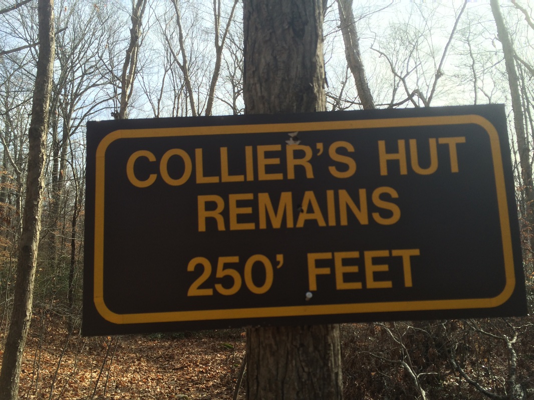
In colonial times, a collier
made and sold charcoal. By all accounts,
this was extremely hard and dirty work, which required the collier to make a
temporary home in the woods for months on end.
I was curious to see just how much of the hut was still standing in the
woods of Chester, but I opted to make that side-trip on the way back. For now, we continued following the blue
blazes of the Cockaponset.
Approximately 3.9 miles in (3.8 per the Walk Book), we passed a kiosk which needed replacing…
Approximately 3.9 miles in (3.8 per the Walk Book), we passed a kiosk which needed replacing…
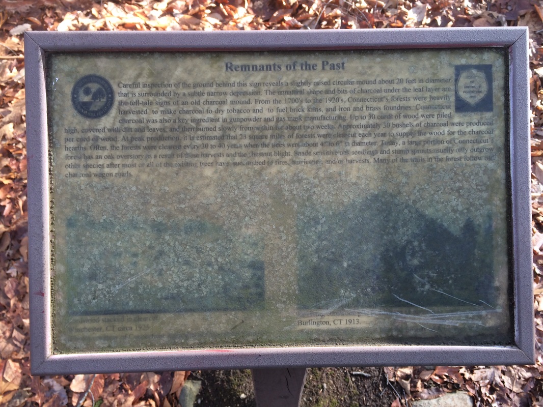
Behind the kiosk, now barely
visible due to the resilient forest, is an old charcoal mound…
If it wasn’t for the
information marker, I would’ve passed by here and never given it a second
thought. It looks almost like any other
hill.
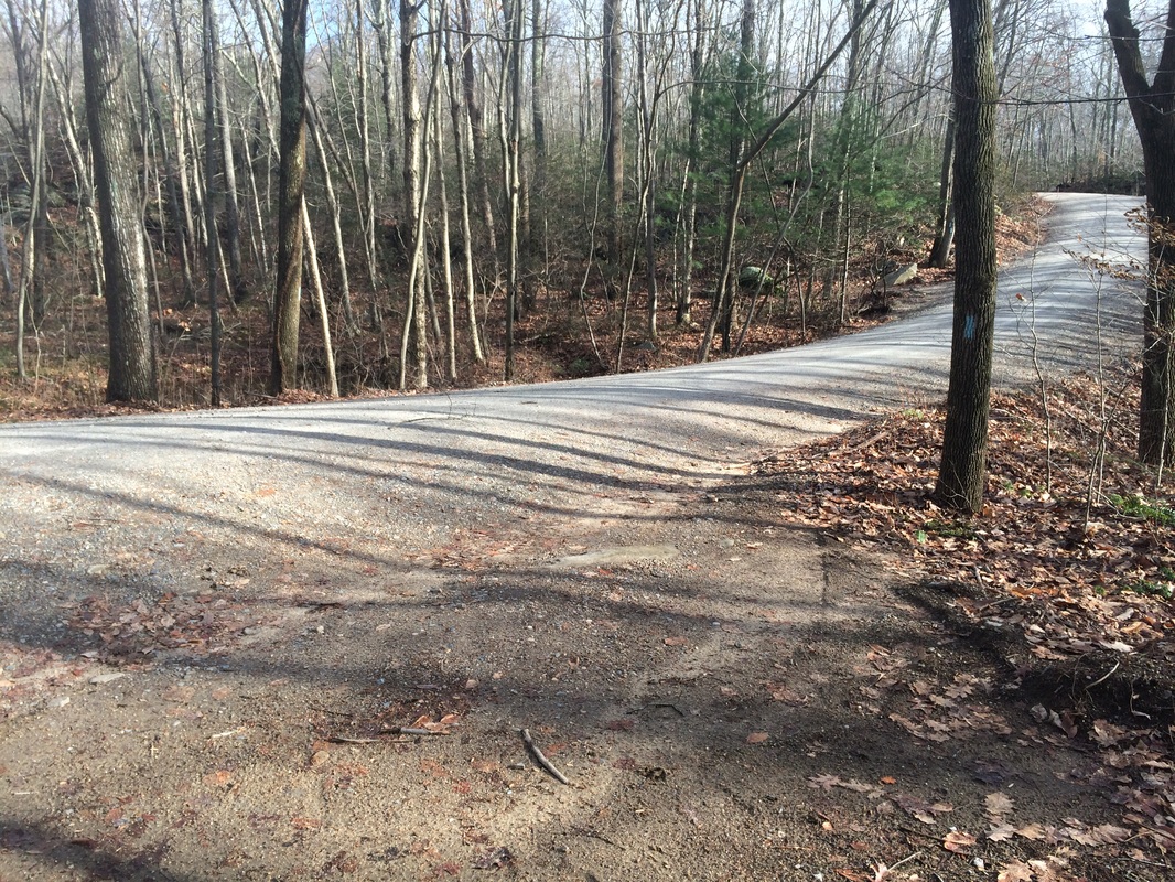
Roughly 4.1 miles in (4.0 per the Walk Book), we made a left onto Old County Road…
Roughly 4.1 miles in (4.0 per the Walk Book), we made a left onto Old County Road…
Approximately 4.2 miles in,
we made a slight right…leaving the road and following the trail uphill…
Roughly 4.4 miles in (4.3
per the Walk Book), we crossed a narrow old dam…
Somewhere in this next
section, we passed the 400 mile mark for 2014.
We still have a few weeks left to add to that total, but 400 miles is already
more than 25 miles more than our total 2013 distance. Maybe one day we’ll try for 500 miles in a
year.
Approximately 4.9 miles in (4.8 per the Walk Book), we crossed a pink-blazed multi-use trail and then reached Jericho Junction…
Approximately 4.9 miles in (4.8 per the Walk Book), we crossed a pink-blazed multi-use trail and then reached Jericho Junction…
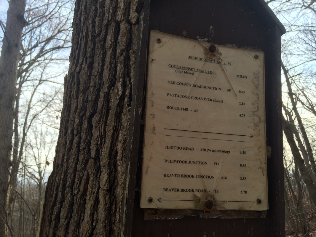
Here, the Old Forest Trail
comes in from the right and terminates.
Later, we would see what the Old Forest Trail had to offer. For now, we stayed on the Cockaponset.
Roughly 5.1 miles in (5.0 per the Walk Book), we crossed Jericho Road…
Roughly 5.1 miles in (5.0 per the Walk Book), we crossed Jericho Road…
There is alternate parking
here, with room for maybe two cars. But,
the Walk Book recommends the commuter lot near Route 9 (exit 8) instead. That lot is closer to the northern trailhead
of the Cockaponset and allows you to avoid driving on this gravel road.
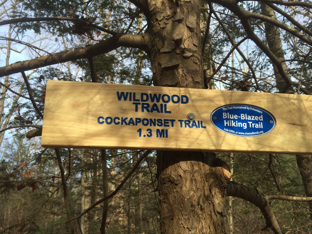
Approximately 5.2 miles in (5.1 per the Walk Book), we passed the Wildwood Junction and the southern terminus of the Wildwood Trail, near these steps…
Approximately 5.2 miles in (5.1 per the Walk Book), we passed the Wildwood Junction and the southern terminus of the Wildwood Trail, near these steps…
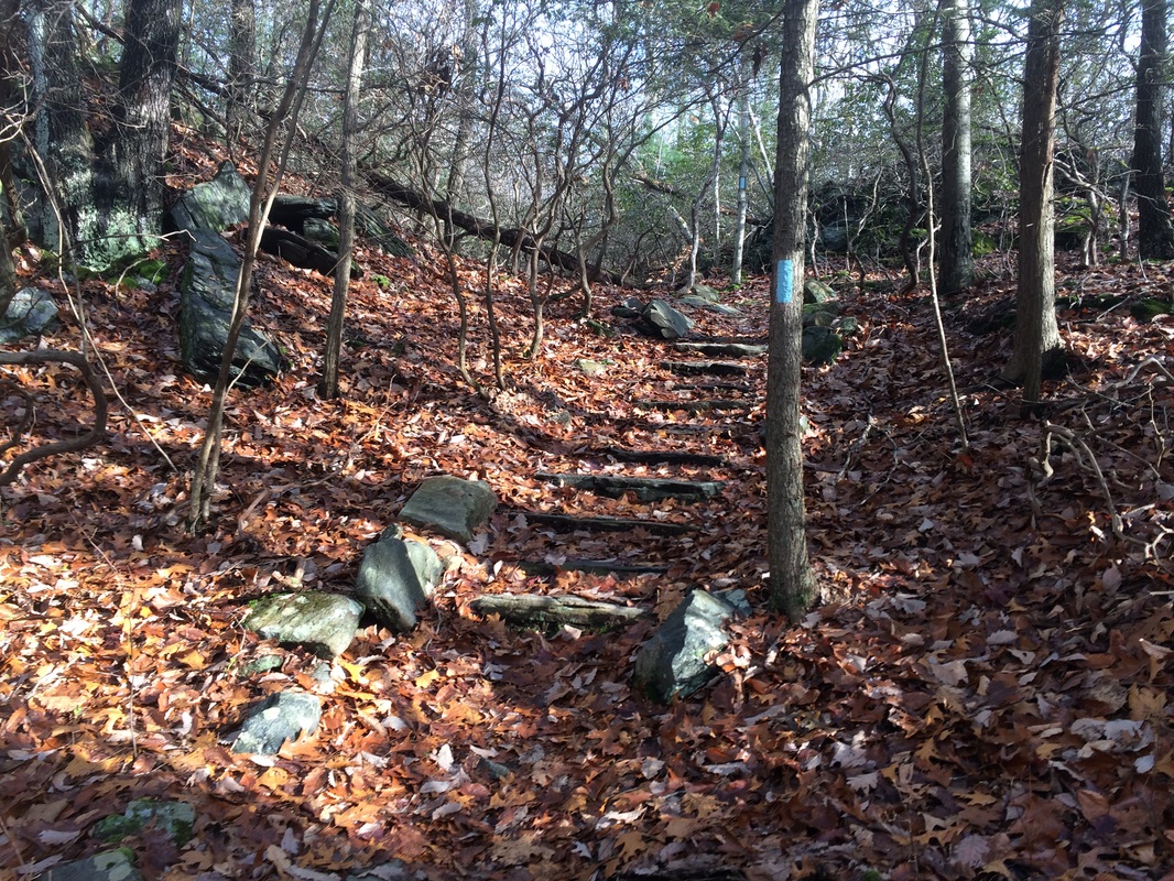
According to the Walk Book,
these are some of the steps constructed by the Civilian Conversations Corps in
the mid-1930s. There is even a picture
of these exact steps right alongside the Walk Book description of the trail. Cool stuff!
Roughly 5.4 miles in (5.3 per the Walk Book), we passed the remains of the Turkey Hill Observation Tower…
Roughly 5.4 miles in (5.3 per the Walk Book), we passed the remains of the Turkey Hill Observation Tower…
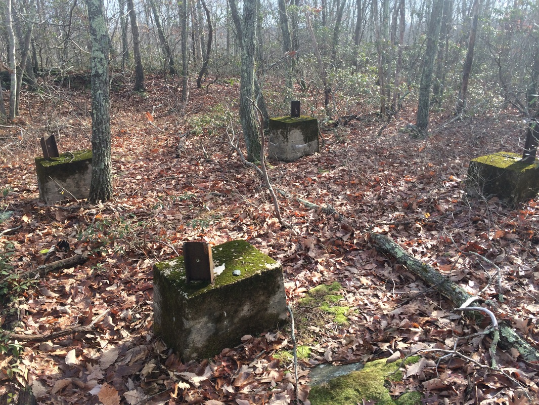
There really isn’t much left
to see, but I guess the views weren’t good enough for anyone to maintain the
tower. The Walk Book map claims this is
a “Fire Tower Site”, but I’ve read it was never actually used for spotting
forest fires.
Approximately 6.0 miles in (5.9 per the Walk Book), we crossed Jericho Road for the second time…
Approximately 6.0 miles in (5.9 per the Walk Book), we crossed Jericho Road for the second time…
And, roughly 6.8 miles in
(6.7 per the Walk Book), we crossed it again for the final time on our
northbound trip…
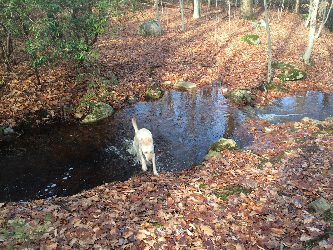
In the next section, we
crossed a couple of what the Walk Book calls “small” brooks. But, as you might be able to see in the
picture below, the crossing was wider and deeper than “small”. This probably has more to do with the fact
that it recently rained for about 30 hours straight than it does with the Walk
Book being inaccurate. Regardless, as a
result of the high water, I was forced to head a bit off trail in order to find a suitable
crossing…
Approximately 7.3 miles in (7.2
per the Walk Book), we reached Beaver Brook Junction…
Here, the Wildwood Trail
comes in from the left and terminates. I
planned to pick up the Wildwood on the return trip. For now we continued on the Cockaponset.
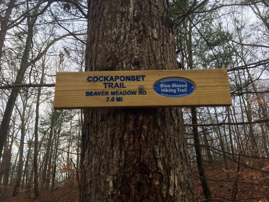
Roughly 7.5 miles in (7.4 per the Walk Book), we reached the northern terminus of the Cockaponset Trail at Beaver Meadow Road…
Roughly 7.5 miles in (7.4 per the Walk Book), we reached the northern terminus of the Cockaponset Trail at Beaver Meadow Road…
This was the end of the line
for the Cockaponset, but we still had to make our way back to the car. Fortunately, there are the four alternate
CFPA trails I’ve mentioned throughout the recap which begin and end on the
Cockaponset Trail. So, we would be able
to make our way back and keep the retracing of our steps to a minimum.
First up, the Wildwood Trail…
From the Walk Book:
The blue- and red-blazed Wildwood Trail commences at Wildwood Junction on the Cockaponset Trail at mile 5.1. It follows along base of ledges and then begins series of moderate ascents and descents. The trail then descends steeply and crosses a woods road (1.3). It terminates at Beaver Brook junction on the Cockaponset Trail at mile 7.2.
We travelled the 1.4 mile
Wildwood Trail in the opposite direction from which it is laid out in the Walk
Book. So, we picked it up at Beaver
Brook Junction, shortly after turning around at Beaver Meadow Road. There was one section of the Wildwood Trail,
shortly after we crossed the woods road mentioned in the Walk Book, where the
trail makes a hairpin turn and ascends the ridge over a series of
switchbacks. Following Roscoe, I missed
the turn and ascended the first part of the ridge heading directly uphill. It wasn’t until I crossed another path which
also had blue-red blazes that I realized the error. I think, at one time, the path I took was the
original trail…because I noticed some faded blazes. My faithful furry friend doesn’t lead me
astray very often…and this was a tricky one…so I’ll give him a pass.
Next up, the Old Forest Trail…
From the Walk Book:
The blue- and red-blazed Old Forest Trail continues straight from the main Cockpanoset Trail at mile 4.1 and utilizes an old woods road for most of its length. At 0.5 mile on Old Forest Trail, watch for a sharp turn where it leaves the road to terminate at Jericho Junction on the Cockaponset Trail at mile 4.8.
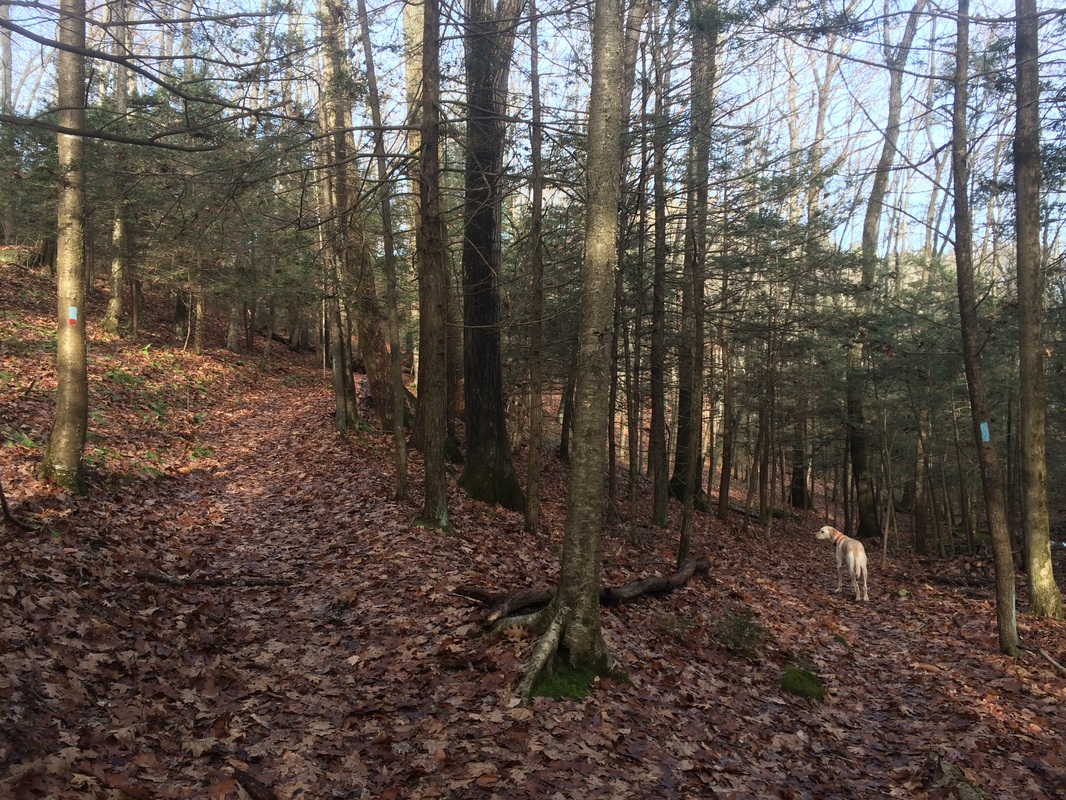
Again, we travelled the
trail in the opposite direction from which it is described in the Walk
Book. So, we picked it up at Jericho
Junction and ended at Old County Road. The
highlight of this trail was the brook crossing you see in the photo above. This is the same brook which we crossed
earlier, in the opposite direction, by using the narrow old dam. I actually got a better view of the dam from
this trail than I did earlier while on the Cockaponset. Note: a good portion of this trail is shared
with a pink and purple blazed (that’s pink AND purple, not pink-purple)
multi-use trail. Every third blaze or so
is a different color.
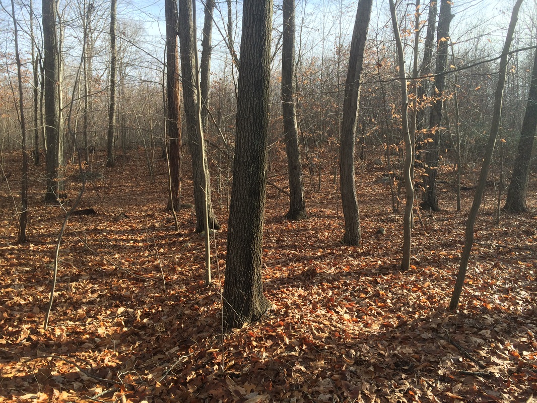
At the southern terminus of the Old Forest Trail at Old County Road, we found ourselves back on the main Cockaponset for a while. This time, upon reaching the short side-trail to the Collier’s Hut, I opted to explore that area a bit. Here is what’s left of the hut…
At the southern terminus of the Old Forest Trail at Old County Road, we found ourselves back on the main Cockaponset for a while. This time, upon reaching the short side-trail to the Collier’s Hut, I opted to explore that area a bit. Here is what’s left of the hut…
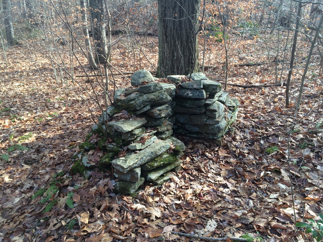
I was somewhat disappointed,
but I’ve learned not to get too excited about these “ruins” in the woods. We made our way back to the Cockaponset,
turned left and continued our journey south until we reached the third
alternate trail described in the Walk Book, the North Pattaconk Trail…
From the Walk Book:
The blue- and red-blazed North Pattaconk Trail can be picked up just west of Pattaconk Reservoir parking lots at Pattaconk Crossover (Cockaponset Trail mile 1.8).
From the Walk Book:
The blue- and red-blazed North Pattaconk Trail can be picked up just west of Pattaconk Reservoir parking lots at Pattaconk Crossover (Cockaponset Trail mile 1.8).
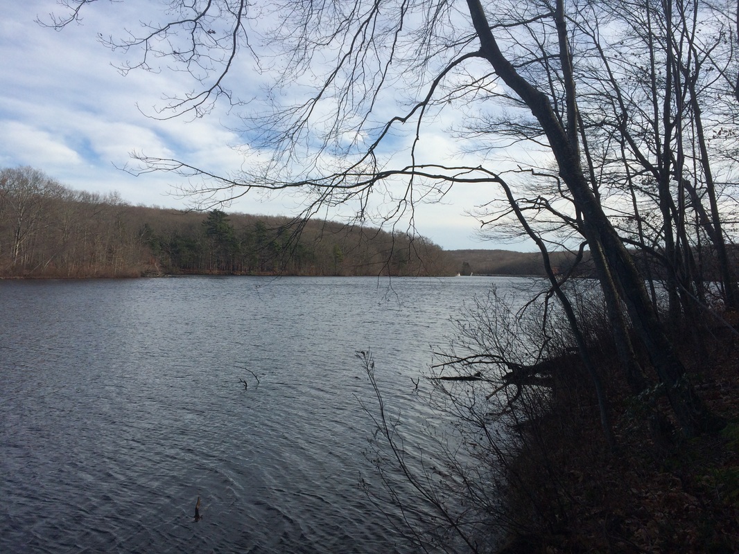
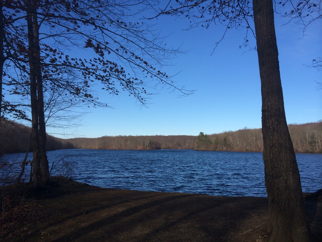
Again, we travelled the
trail (the Walk Book has it at a total distance of 1.2 miles) in the opposite
direction from which it is described. As
you might’ve figured out from the pictures above, the highlight of this trail
is the walk along the reservoir. Keep an
eye out for blazes, though, as we (yet again) found ourselves following
unmarked trails…doubling back…and adding additional mileage to our hike.
Last, but certainly not least, the South Pattaconk Trail…
From the Walk Book:
The blue- and red-blazed South Pattaconk Trail is generally easy walking. There is one short and steep ledge that can be difficult but also bypassed.
By now, you get it; we hiked the trail in the opposite direction from which it is described in the Walk Book. As a result, we had to descend the steep ledge mentioned in the Walk Book. I typically prefer to ascend steep sections, but this one wasn’t that bad. Once Roscoe made his way down without any trouble, I knew it would be a breeze. Certainly not anything that needs to be bypassed.
Eventually, after approximately 1.6 miles on the South Pattaconk, we made our way back to the Cockaponset (at mile 0.1). We turned right, ascended a short hill or two, and returned to the parking area off of Route 148.
All in all this was a very nice hike. It wasn’t nearly as rugged as my last 14+ mile hike, which I did on the Appalachian Trail. But, it was very similar in that there are many miles of little to no highlights and zero views. I would offer that this hike is probably too long for most beginners and there really is no need to do all of these trails in one hike. I just thought it would be a good challenge after doing a couple of shorter-distance hikes the last couple of weeks. I was right…this one challenged me. I’m thankful that the next couple of hikes I’ve planned are less than 10 miles.
Until next time…
For a map of this hike, along with elevation data, please click here.
Total 2014 Distance: 409.76
