A Picnic Lunch with a Leggy
Blonde
Hike # 103
Appalachian Trail
Route 341 to North Kent Bridge Parking Area (Kent, CT)
Direction of Travel: Northbound
Section Distance (Per CFPA Walk Book): 5.7 Miles
Hike Distance: 12.97 Miles
Date Hiked: 5/26/2014
Date Published: 5/27/2014
Memorial Day 2014! Roscoe and I waited all weekend for our next hike along the AT. Local meteorologists predicted Monday would be the nicest of the three days so I was a little worried when Sunday turned out to be an absolutely perfect day. Sure enough, when I woke up on Monday and looked at the weather, I saw green on the radar in the northwest hills. I wasn’t happy, but I was determined to get out and hike. Hoping it would clear, I decided to still head out and make the 90 minute drive over to Kent.
After driving for more than an hour, the rain showed no signs of letting up. I was worried it would take a turn for the worse and bring lightning/hail down on us as soon as we got to the highest peak. So I decided to call the house and wake up Jaci. Fortunately, she was coherent enough at 6:10am on a holiday and didn’t give me a hard time about interrupting her beauty sleep. She checked the weather on the weather channel and told me it looked like it would clear up. I decided to continue driving and, if I had to, wait for the rain to pass. As luck would have it, while I was pulling up to the parking location off of Route 341, the rain stopped. I got out of the car, geared up, and we hit the trail.
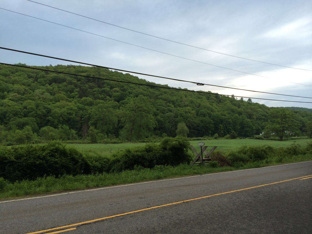
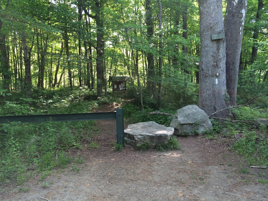
Immediately after crossing Route 341, we came to the large cow pasture you see in the picture below…
Hike # 103
Appalachian Trail
Route 341 to North Kent Bridge Parking Area (Kent, CT)
Direction of Travel: Northbound
Section Distance (Per CFPA Walk Book): 5.7 Miles
Hike Distance: 12.97 Miles
Date Hiked: 5/26/2014
Date Published: 5/27/2014
Memorial Day 2014! Roscoe and I waited all weekend for our next hike along the AT. Local meteorologists predicted Monday would be the nicest of the three days so I was a little worried when Sunday turned out to be an absolutely perfect day. Sure enough, when I woke up on Monday and looked at the weather, I saw green on the radar in the northwest hills. I wasn’t happy, but I was determined to get out and hike. Hoping it would clear, I decided to still head out and make the 90 minute drive over to Kent.
After driving for more than an hour, the rain showed no signs of letting up. I was worried it would take a turn for the worse and bring lightning/hail down on us as soon as we got to the highest peak. So I decided to call the house and wake up Jaci. Fortunately, she was coherent enough at 6:10am on a holiday and didn’t give me a hard time about interrupting her beauty sleep. She checked the weather on the weather channel and told me it looked like it would clear up. I decided to continue driving and, if I had to, wait for the rain to pass. As luck would have it, while I was pulling up to the parking location off of Route 341, the rain stopped. I got out of the car, geared up, and we hit the trail.
Immediately after crossing Route 341, we came to the large cow pasture you see in the picture below…
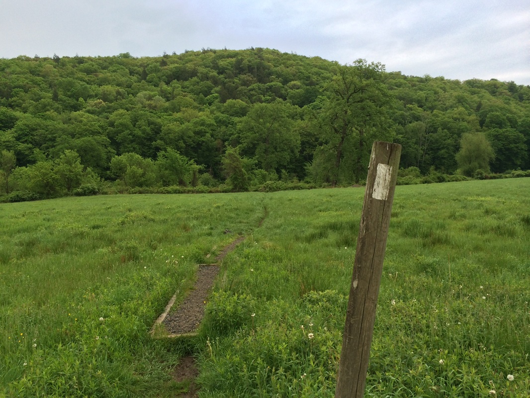
We crossed a barbed-wire fence
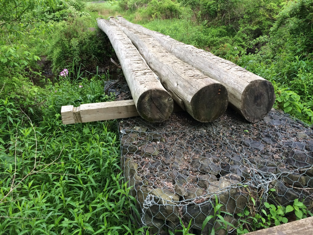
on a stile and made our way through the pasture. Once on the other side, we crossed Macedonia Brook
on a log bridge…
|
|
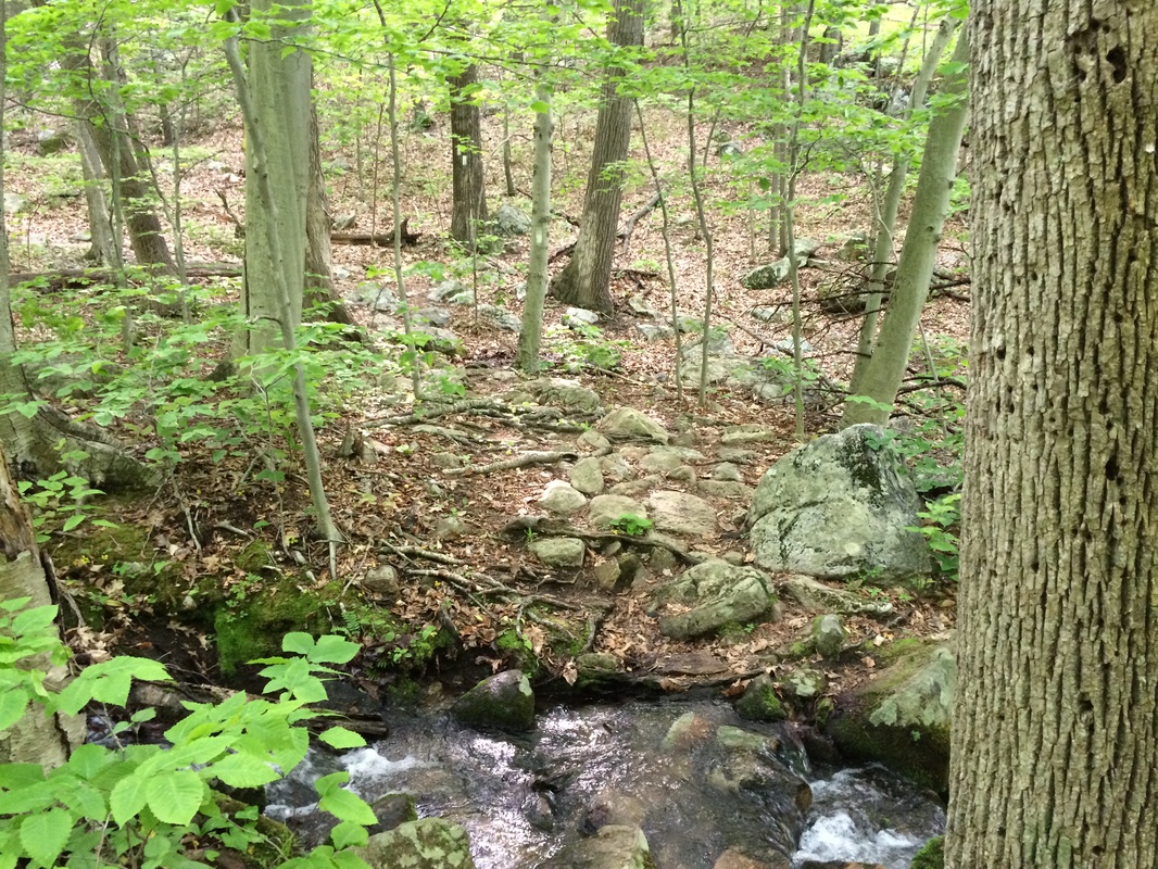
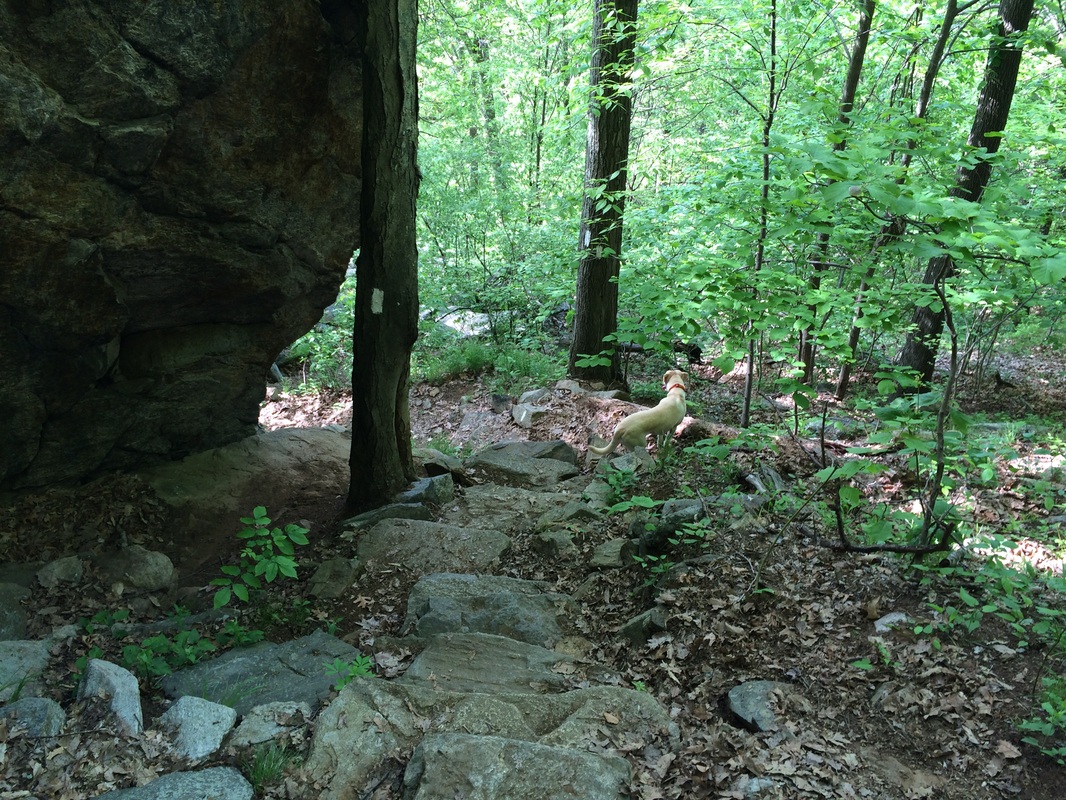
Shortly after crossing the
brook, the trail brought us to the forest and we started the climb the ridge
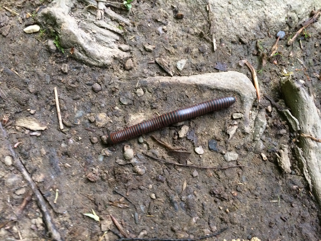
top, 850 feet above the valley floor where we found the cow pasture. Along the way, I spotted a millipede…
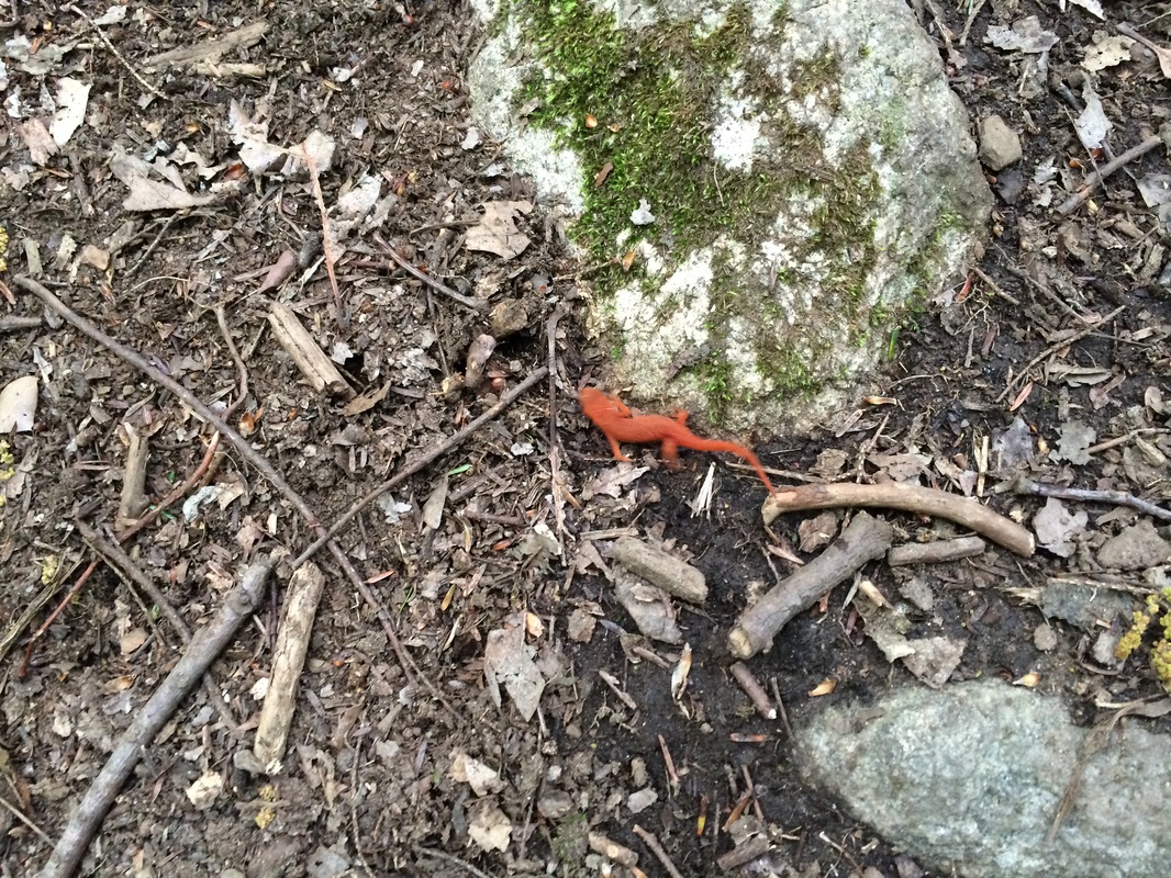
Shortly after that, I spotted an
Eastern Newt…
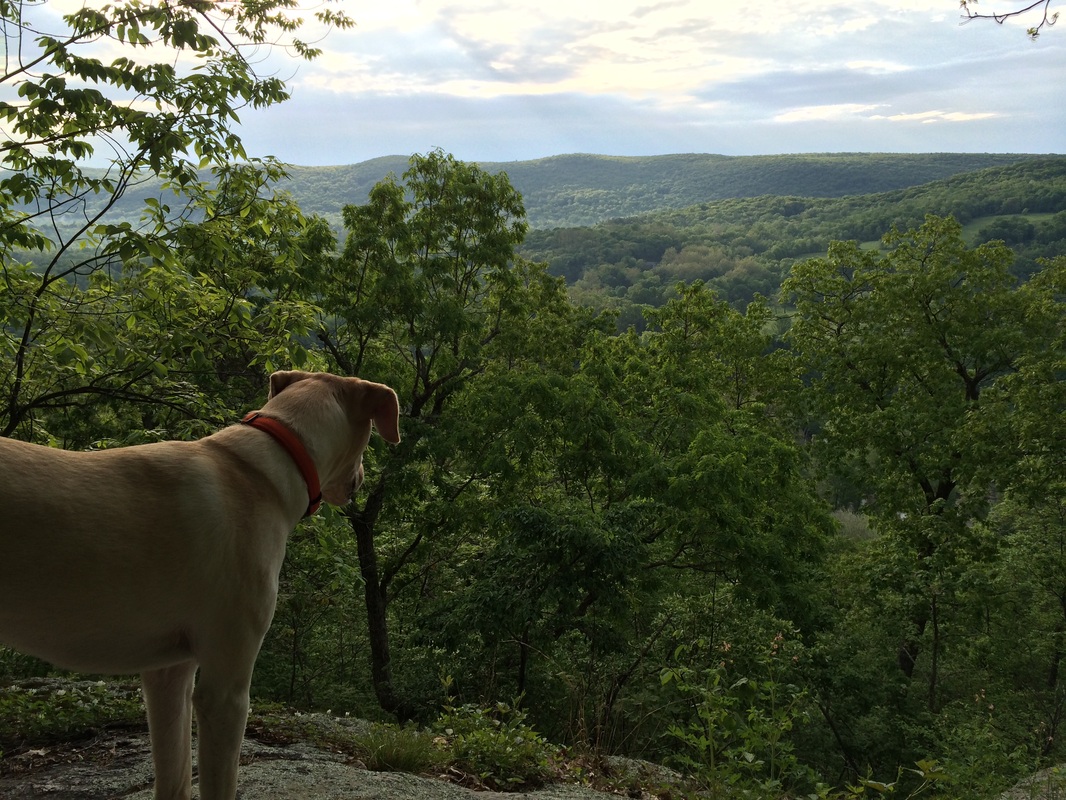
Roughly 8/10 of a mile in, we came to our first viewpoint of the day. Here, on the south shoulder of Fuller
Mountain, I could see the sun trying to break through the clouds…
From the viewpoint, we followed
the ridge north for a bit…then west…then north again. As we made our way, the trail was gradually
descending for a couple of miles and I immediately started to dread the return
trip. It was also right around this time
that I noticed the amount of bugs had increased since my last AT hike, and I
suspected the early morning rain might have something to do with it.
Approximately 3 miles in (2.7 miles per the Walk Book), we reached and crossed Choggan Brook…
Approximately 3 miles in (2.7 miles per the Walk Book), we reached and crossed Choggan Brook…
After another 1/10 of a mile or
so, we reached and crossed Skiff Mountain Road…
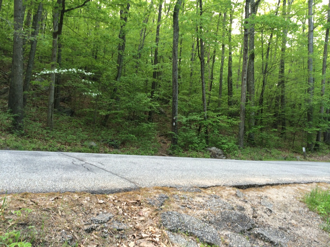
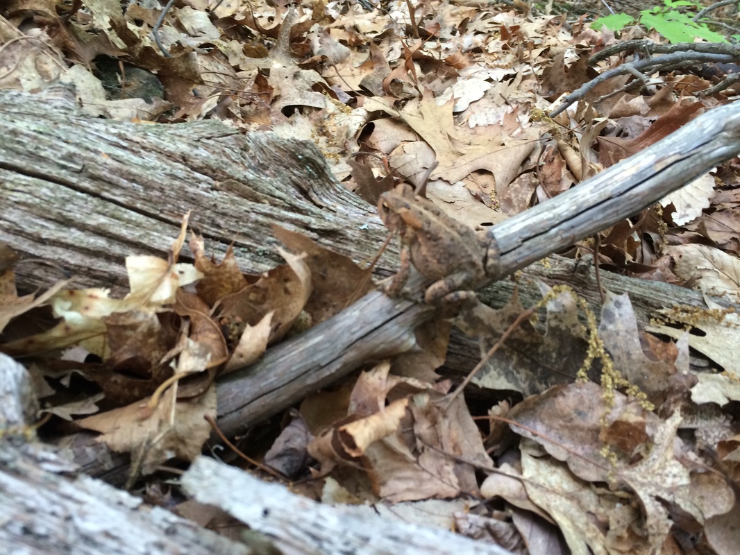
On the north side of Skiff
Mountain Road, the trail ascends a steep ridge over rocky switchbacks. Along the way, I spotted a frog…
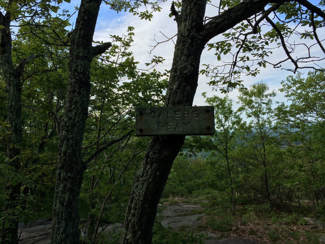
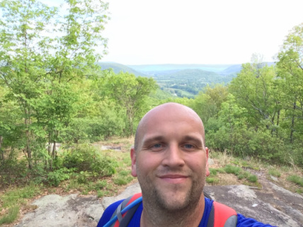
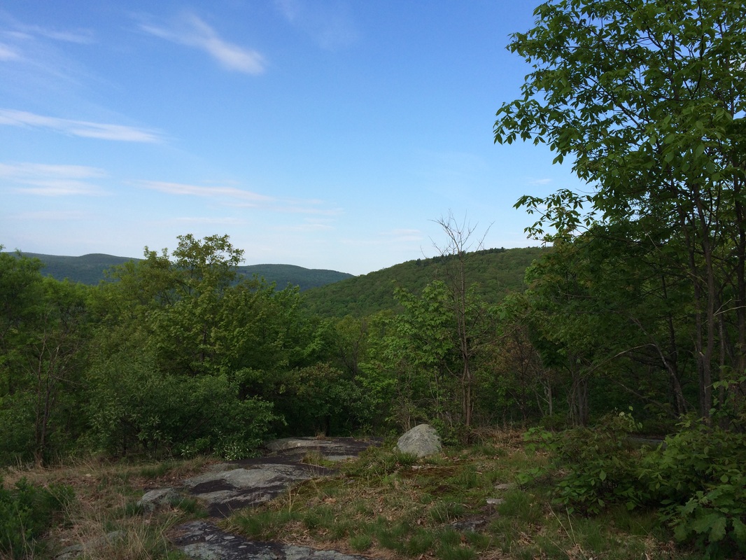
Roughly 3.9 miles in (3.5 miles
per the Walk Book), we reached Caleb’s Peak (elevation: 1,160 feet) and I
snapped a few pictures. Note: the large
picture below is a shot (looking south) of Fuller Mountain, which I hiked over
earlier in the day…
|
|
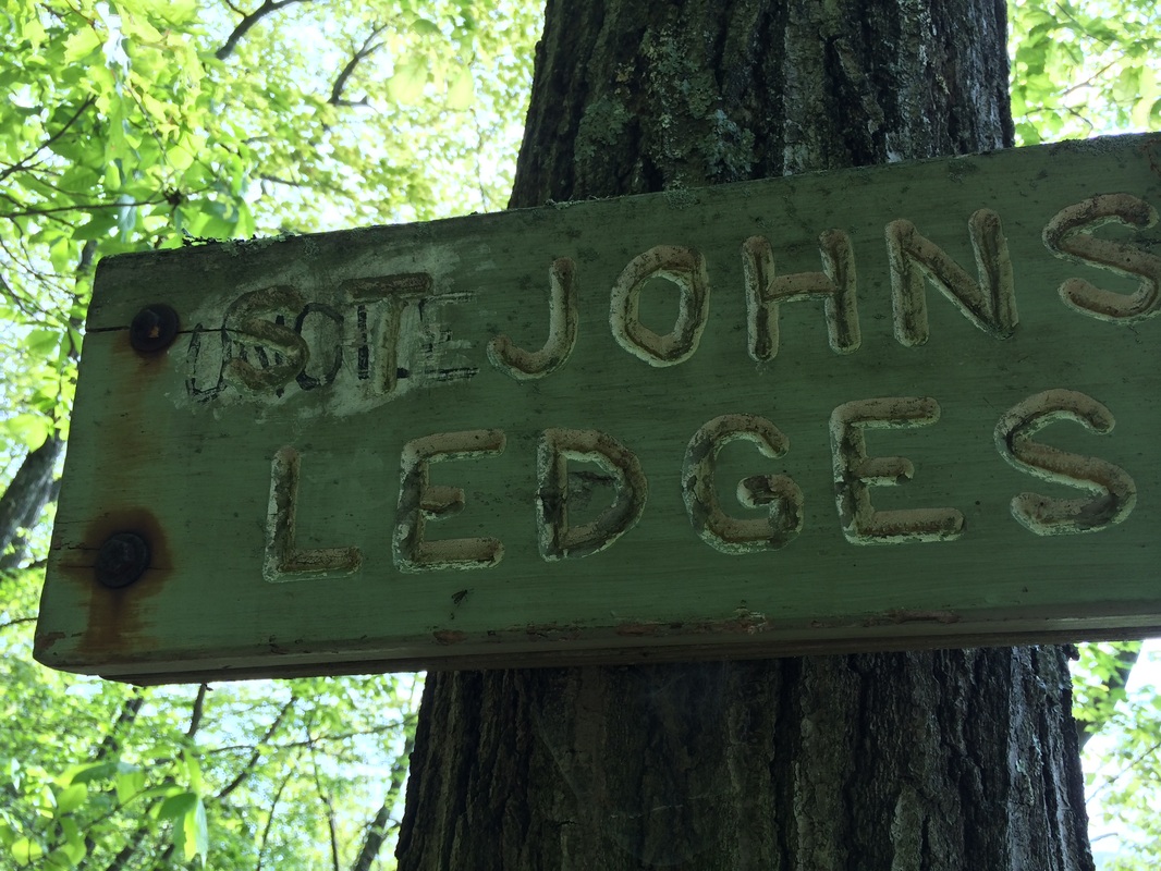
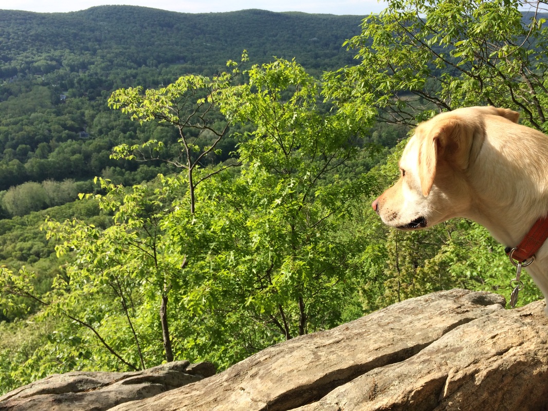
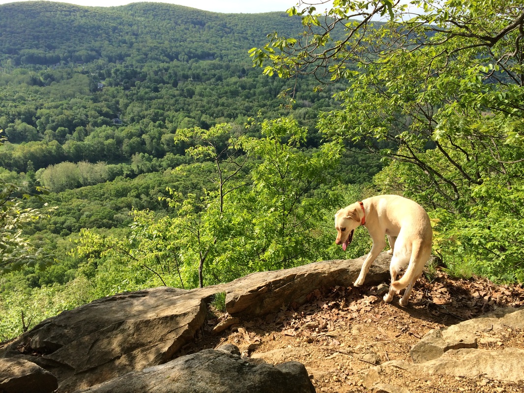
Approximately 4.7 miles in (4.1
miles per the Walk Book) and just off-trail, we reached St. John’s Ledges. We stopped for a few minutes to enjoy the views
of the Housatonic Valley below us…
|
|
After another 1/10 of a mile or
so, we reached a steep rock staircase, which was constructed by Appalachian
Mountain Club volunteers and a professional trail crew. The Walk Book notes there are 90 steps in
total. I tried to count them all, but I
didn’t get very far before I decided it was a better idea to focus on my
footing…
Note: the picture above does
not do this section any justice. It was
extremely difficult and not recommended for beginners. This was, perhaps, the most difficult section
of hiking I’ve done in my 100+ hikes.
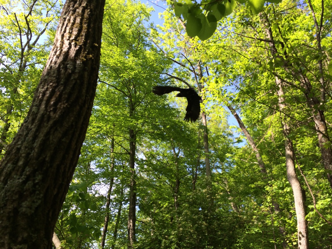
As we made our way down, I heard a sharp “squawk” next to me and looked up to see a raven standing on the rocky edge of a cliff, no more than 10 feet from my face. As I took out my camera to get a picture, he took flight so I only came away with the photo below. But, if you are a long-time reader of my recaps, you probably already know of my obsession with these intelligent birds. So, I was happy just to get so close to one…
As we made our way down, I heard a sharp “squawk” next to me and looked up to see a raven standing on the rocky edge of a cliff, no more than 10 feet from my face. As I took out my camera to get a picture, he took flight so I only came away with the photo below. But, if you are a long-time reader of my recaps, you probably already know of my obsession with these intelligent birds. So, I was happy just to get so close to one…
Roughly 5.5 miles in (4.7 miles
per the Walk Book), we reached the bottom of the ledges and made a sharp left
on River Road…
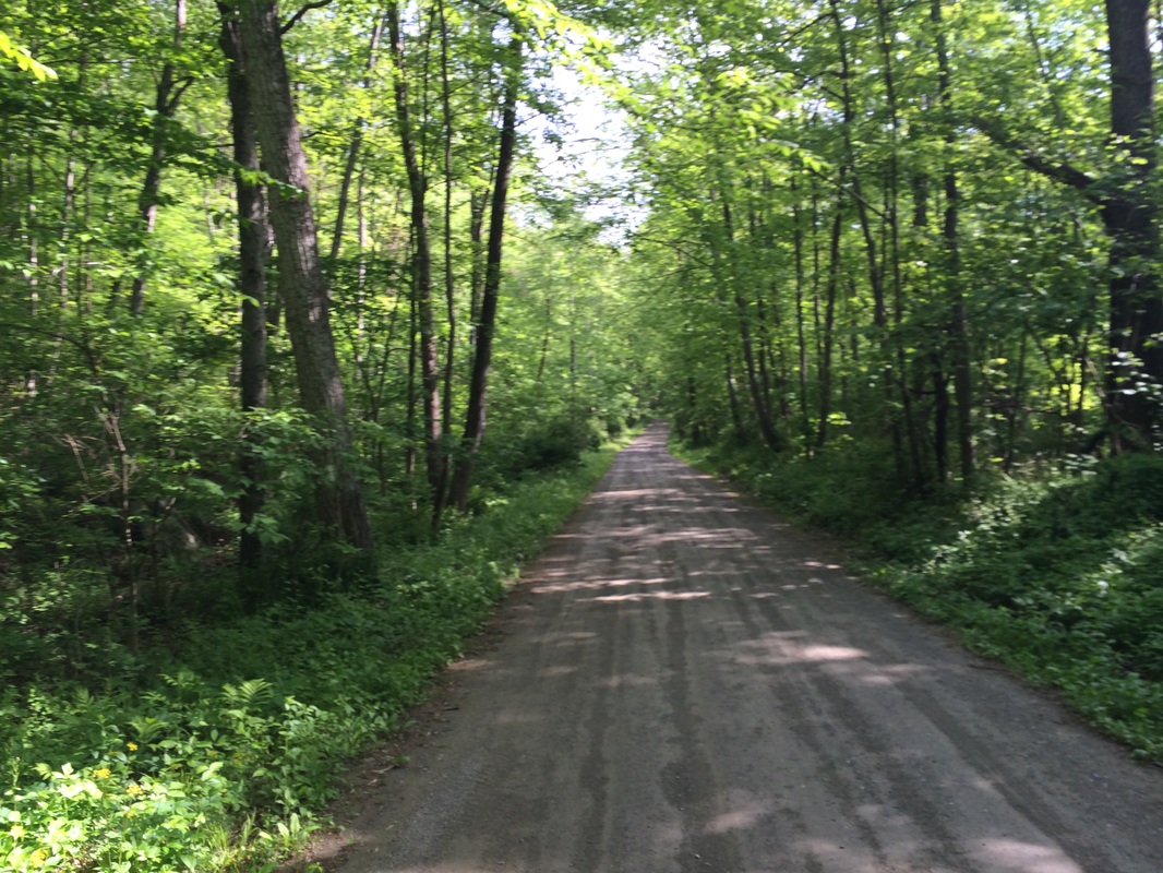
Here, the trail follows the
road as it meanders beside the Housatonic River…
Approximately 6.5 miles in (5.7
miles per the Walk Book), we reached the North Kent Bridge Parking Area, my
designated turnaround point for the day…
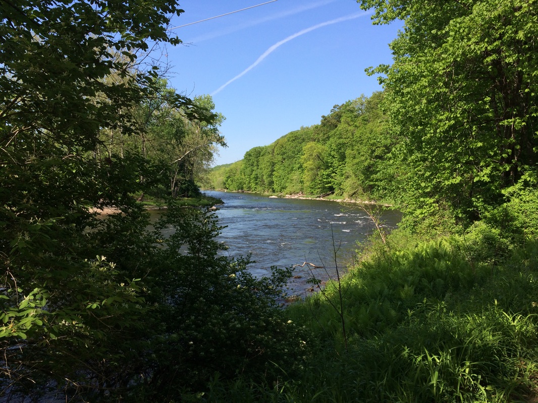
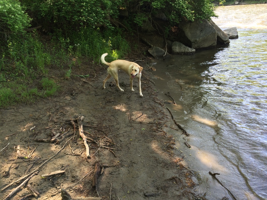
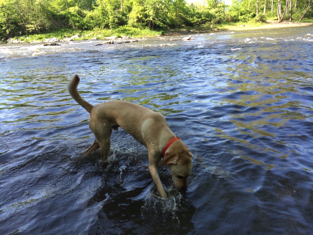
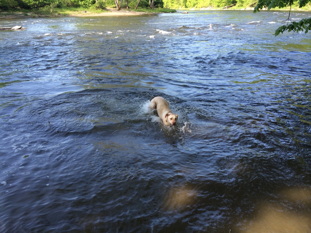
Prior to starting our journey
back, we made our way down to the western bank of the Housatonic and I let
Roscoe play in the water for a few minutes.
The current is strong, but I knew he wouldn’t go in past his shoulders
so I let him enjoy himself. With all the
climbing we did today, he earned it…
|
|
Once he had his fill, we made
our way back, climbing back up the steps to the top of St. John’s Ledges…back
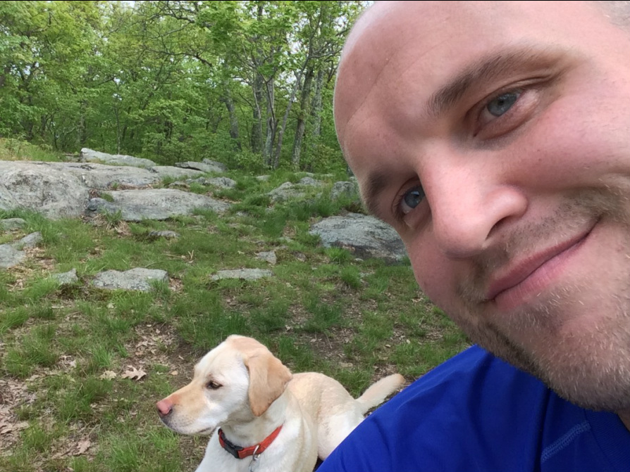
over Caleb’s Peak (where we stopped to have lunch)…back across Skiff Mountain
Road…back over Fuller Mountain (trying to outrun the onslaught of bugs)…back
through the cow pasture…back over the stile…and back to the car.
I really enjoyed this hike, but the heat and the bugs have made their way to the northwest hills. So, I think I’m going to put the AT on hold until the fall. I’ll probably start hiking out of state soon. I’ve got several ideas for hikes in Massachusetts, Vermont, and New Hampshire. So, stay tuned for those…
I really enjoyed this hike, but the heat and the bugs have made their way to the northwest hills. So, I think I’m going to put the AT on hold until the fall. I’ll probably start hiking out of state soon. I’ve got several ideas for hikes in Massachusetts, Vermont, and New Hampshire. So, stay tuned for those…
For a map of this hike, along with elevation data, please click here.
Total 2014 Distance: 252.01