Don’t Be Such A Bluffhead
Hike #132
Mattabesett Trail, Lone Pine Trail
Route 77 (Guilford, CT) to Route 17 (Durham, CT)
Hike Distance: 8.7 Miles
Section Distance (Per CFPA Walk Book): 6.1 Miles
Date Hiked: 4/19/2015
Date Published: 4/19/2015
Hike #132
Mattabesett Trail, Lone Pine Trail
Route 77 (Guilford, CT) to Route 17 (Durham, CT)
Hike Distance: 8.7 Miles
Section Distance (Per CFPA Walk Book): 6.1 Miles
Date Hiked: 4/19/2015
Date Published: 4/19/2015
On my
previous Mattabesett hike, I made my way with Mark and Roscoe due east from Route
77 up to the Broomstick Ledges of Guilford and the southernmost point of the
trail. That was three months ago…to the
day. Mark and I spent the last three
months trying to schedule this hike, but the climb due west from Route 77 up to
Bluff Head (elevation: 720 feet) is steep and I thought it best to wait until
the snow was gone. With spring in full
bloom, we were ready to tackle the next section…which would bring us up and
over Bluff Head, to the western terminus of the Lone Pine Trail and, beyond
that, Route 17.
To reach the parking location from Hartford:
Take I-91 South to Route 9 South and take Exit 13 in Middletown. Then, take Route 17 South to Route 77 South. The lot is on the right side of the road, about 4 miles from the intersection of routes 17 and 77 (look for the blue oval Mattabesett Trail sign).
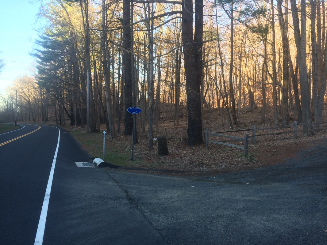
This
section of the Mattabesett is one of those get-out-of-the-car-and-immediately-begin-climbing
sections. The trailhead can be found at
the southwestern corner of the lot…
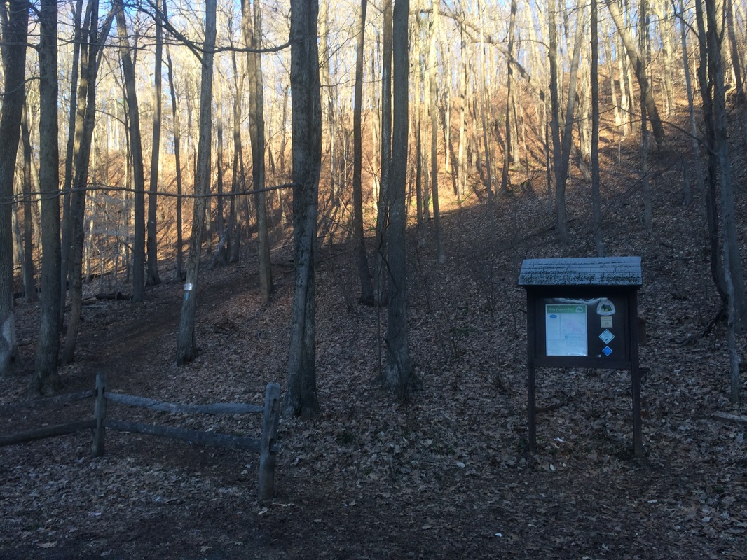
The
trail starts by heading southwest but curves quickly to the north and continues
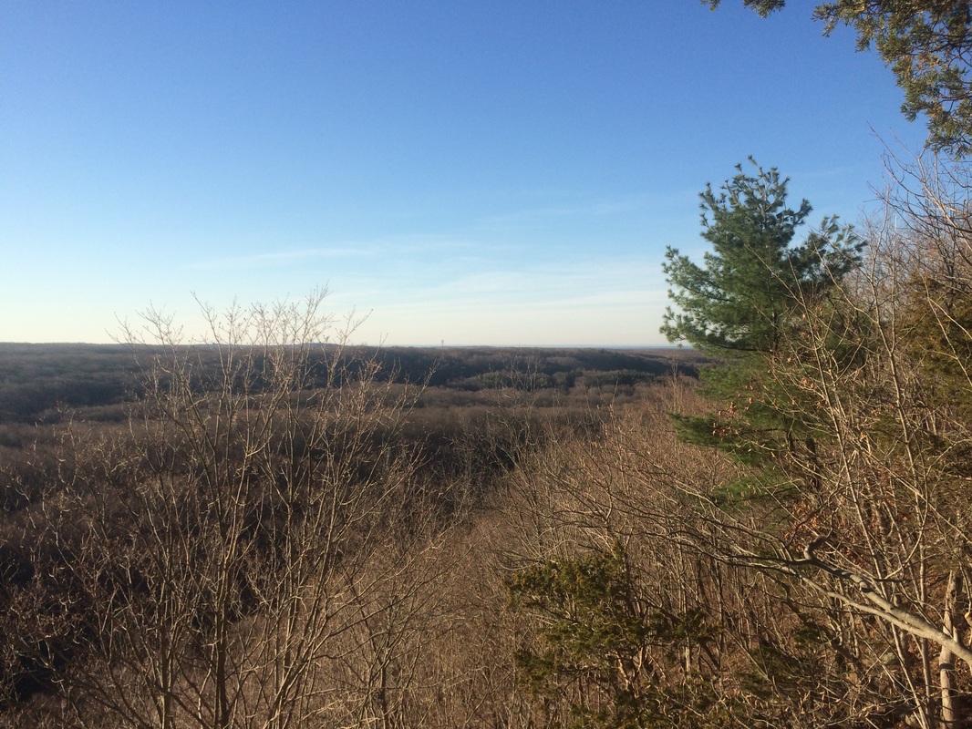
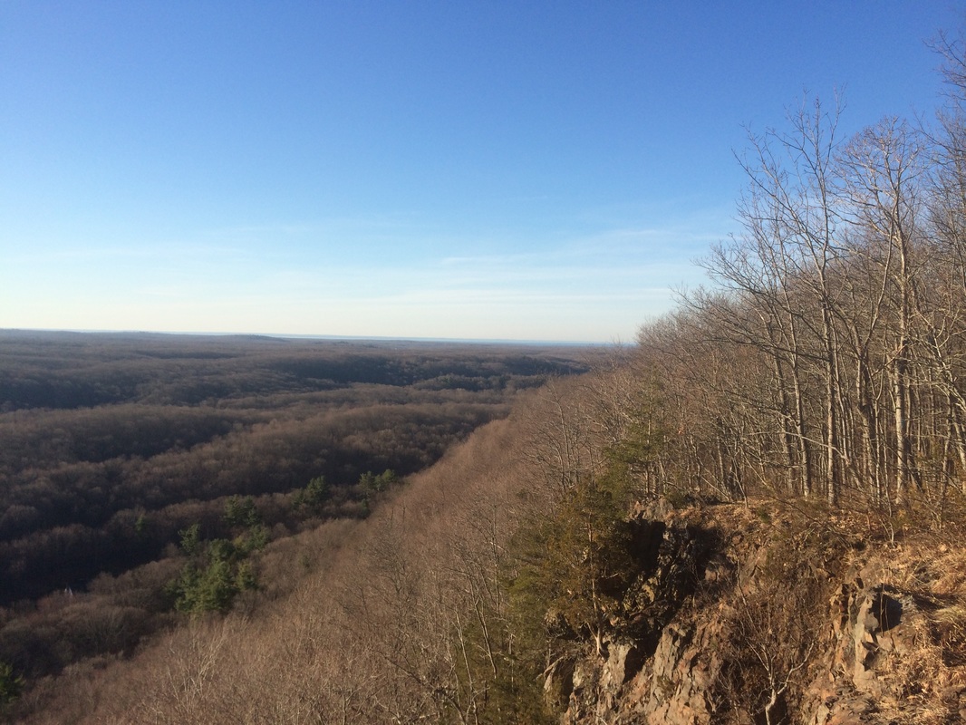
uphill to the top of Bluff Head, the highest point in Guilford. It wasn’t long before we were treated to some
nice views, like the one in the picture at the top of this recap. That photo shows the ridge on opposite side
of Route 77, which is the section of trail we hiked back in January.
The hike up the ridge also provided a good view of Myerhuber Pond…
The hike up the ridge also provided a good view of Myerhuber Pond…
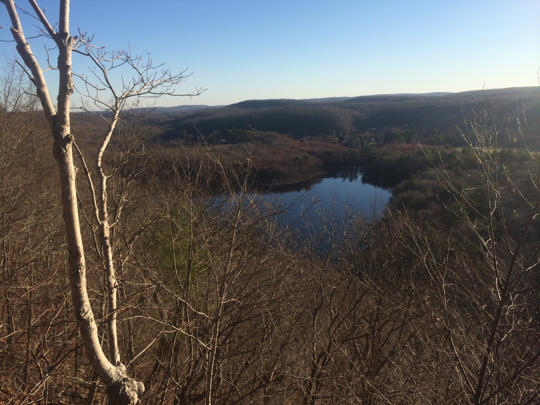
From
the Walk Book:
Myerhuber Pond was dug by a farmer named Conrad Myherhuber using a team of oxen. This pond and Hemlock Brook are the only bodies of water in Guilford that drain to the north, into the Coginchaug River and, eventually, the Connecticut River.
We also enjoyed views of Long Island Sound (barely visible to our right)…
…and
downtown Hartford (barely visible to our left)…
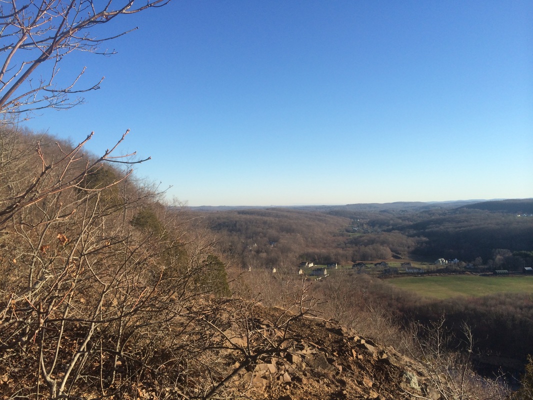
From
this spot, Hartford is about 25 to 30 miles away. I was impressed we could see it, and happy we
decided to wait before making this hike.
Everything I’ve recapped so far takes place within the first mile from Route 77. So, you could make your way up to Bluff Head (there is even an alternate “wimp-out” trail) and back to the lot in under an hour. Mattabesett enthusiasts and those attempting to complete the CT400 will want to continue along the trail, even though there isn’t much to see for the next few miles.
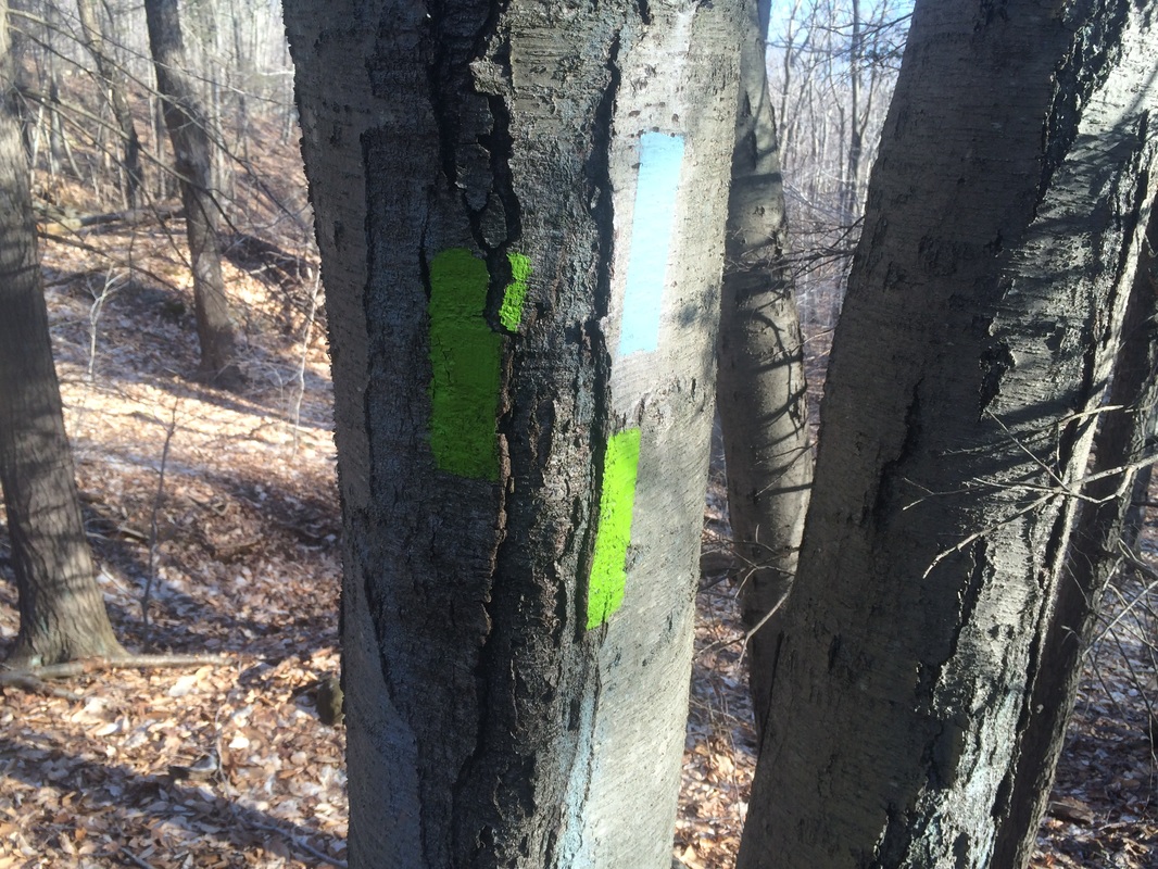
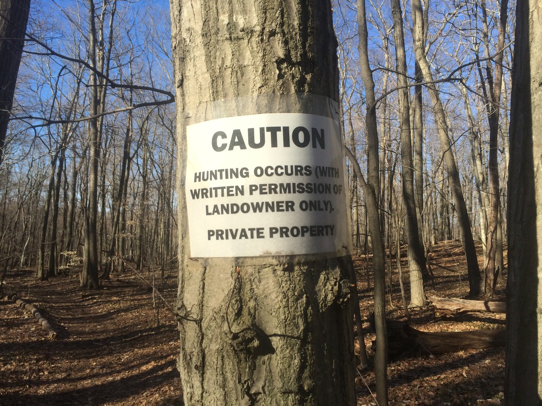
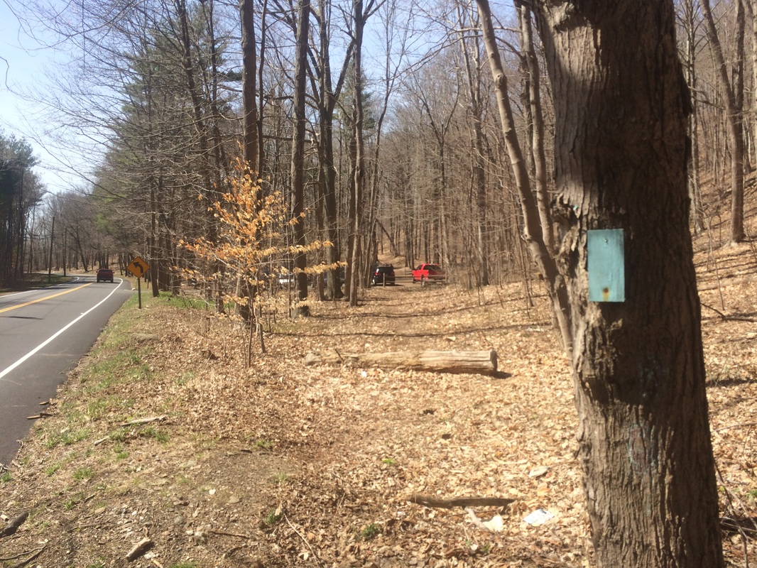
We continued to make our way to Route 17, passing some interesting colored blazes and a section where hunting is allowed with permission from the landowner…
Everything I’ve recapped so far takes place within the first mile from Route 77. So, you could make your way up to Bluff Head (there is even an alternate “wimp-out” trail) and back to the lot in under an hour. Mattabesett enthusiasts and those attempting to complete the CT400 will want to continue along the trail, even though there isn’t much to see for the next few miles.
We continued to make our way to Route 17, passing some interesting colored blazes and a section where hunting is allowed with permission from the landowner…
|
|
Approximately
3.0 miles in, we passed the western terminus of the Lone Pine Trail…
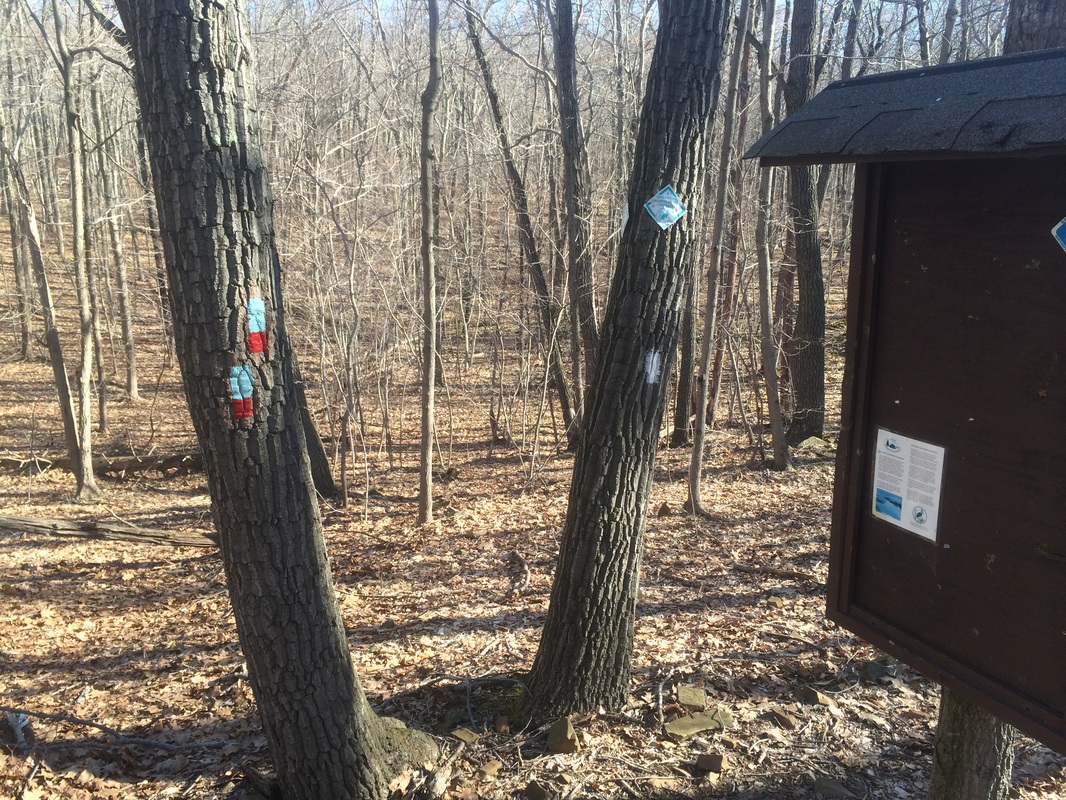
Later,
on the way back, we would use the Lone Pine Trail in an effort to minimize
retracing our steps (also because the Lone Pine Trail is required hiking for me
to complete the CT400). For now, we continued
heading west and north on the Mattabesett.
Roughly 3.7 miles in, after descending Totoket Mountain by way of an ATV trail, we reached Stagecoach Road and made a left to follow it…
Roughly 3.7 miles in, after descending Totoket Mountain by way of an ATV trail, we reached Stagecoach Road and made a left to follow it…
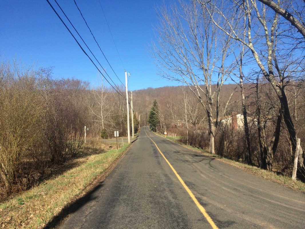
There
is parking for one or two cars at the trailhead near Stagecoach Road.
Approximately 3.9 miles in, we reached Route 17 and immediately turned around.
On the return trip to the cars, after climbing back up to the western terminus of the Lone Pine Trail, we made a left to follow the blue-red blazes of that trail due east.
Approximately 5.1 miles in, near a rock wall, we saw this stone marker just off trail…
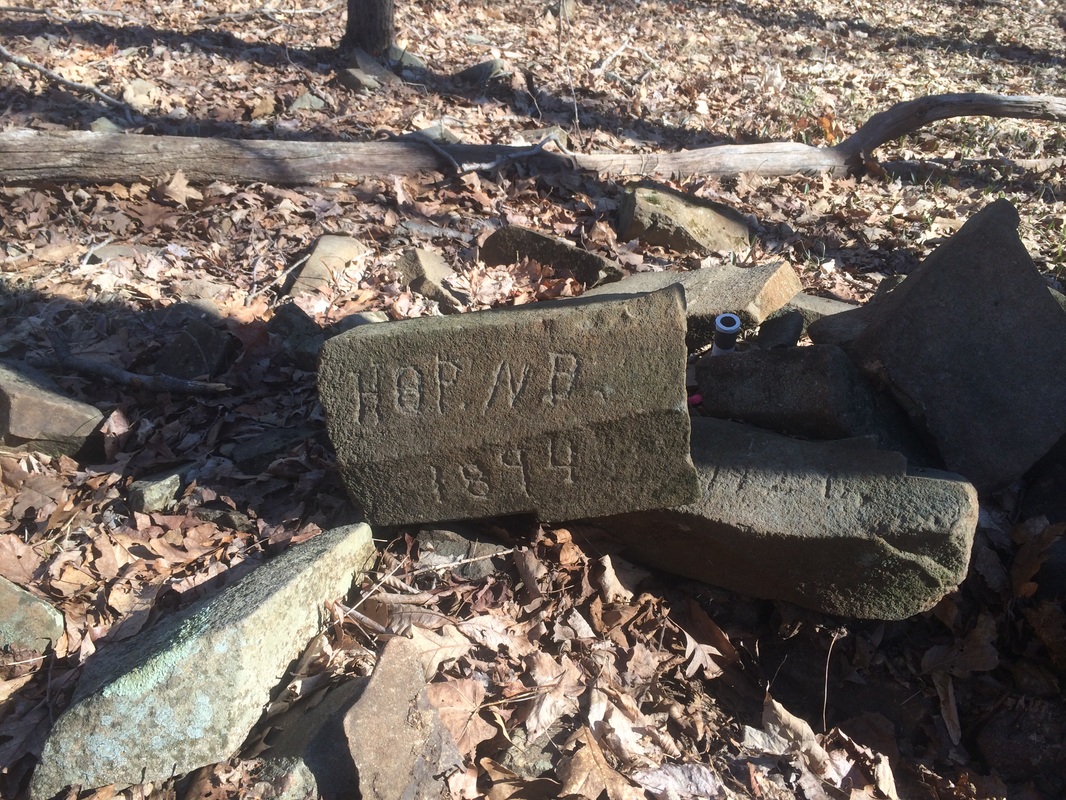
I’m
not 100% certain what all of the numbers and letters mean, but I would wager a
guess that N.B. stands for North Branford and 1894 stands for the year 1894. The Walk Book explains the stone wall marks
the boundary between Guilford and Durham, but we also weren’t far from North
Branford. Whatever the reason, this
stone carving reminded me of the Selectman’s Stones we’d seen on a previous
Mattabesett Hike (# 96).
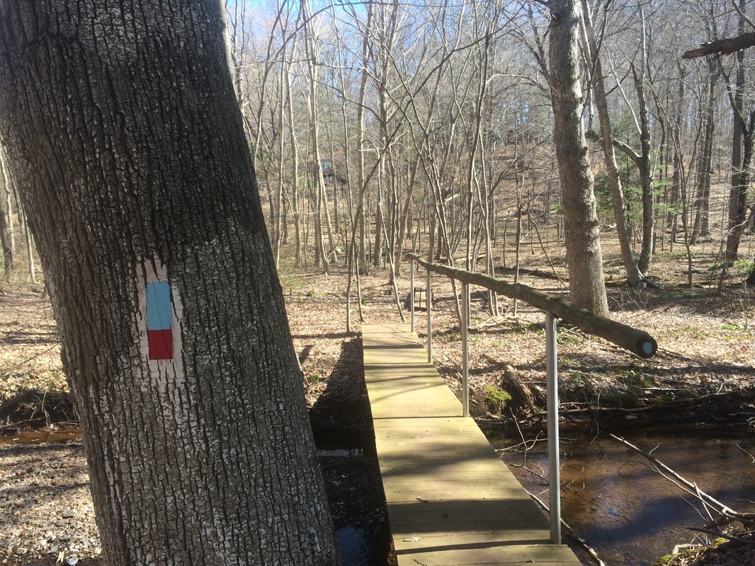
Roughly 6.5 miles in, we crossed a wet/muddy section on a series of foot bridges…
Roughly 6.5 miles in, we crossed a wet/muddy section on a series of foot bridges…
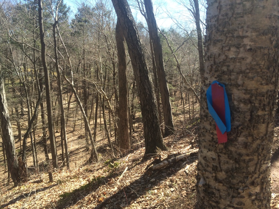
Then,
the trail threw us a bit of a curveball.
I was expecting it to stay fairly straight and bring us directly to
Route 17. However, it seems the
development of a residential neighborhood has forced a recent re-route. The section isn’t even blazed yet so we
had to follow little red and blue ribbons…
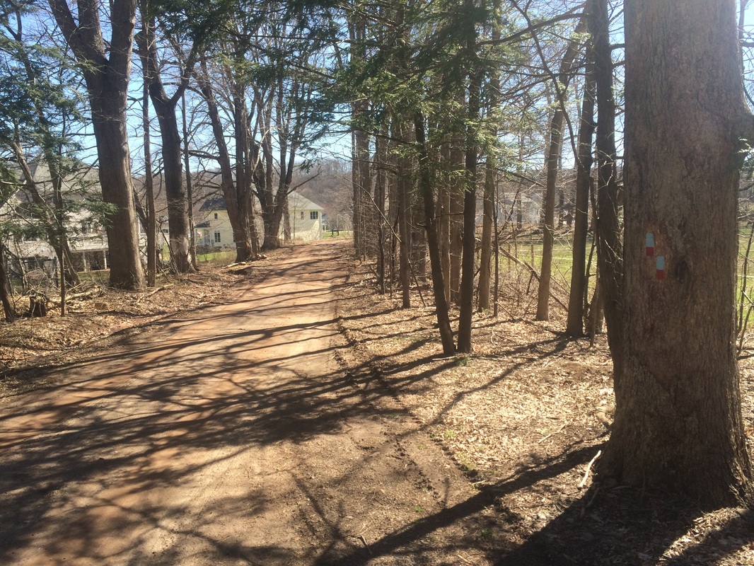
Approximately
7.3 miles in, after passing very close to several backyards, we reached a
private driveway and started following painted blazes again…
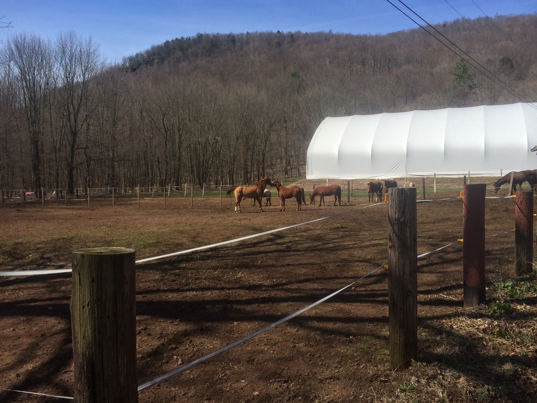
We
also passed this horse farm, near the base of the ridge we’d
earlier ascended…
Roughly
8.0 miles in, we reached Route 77…
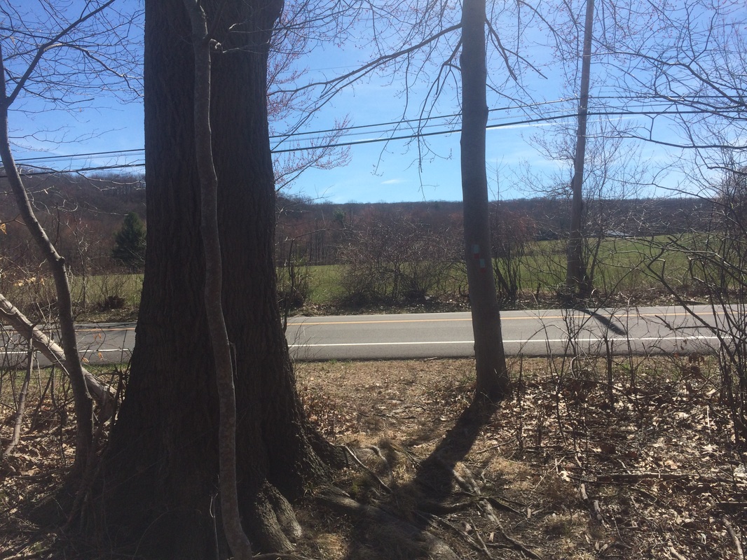
Here,
the blue-red blazes go left. But, we’d
already covered the remaining sections of the Lone Pine Trail on previous
hikes. We made a right and followed
Route 77 back to the parking lot…
This
was yet another great hike. We are starting
to close in on completion of the Mattabesett.
A few more hikes along the mainline…and a quick up make-up on a couple
of the side trails and we’ll be done.
Until next time…
Until next time…
For a map of this hike, along with elevation data, please click here.
Total 2015 Distance: 191.3
(308.7 to Goal)
