Have My Cake and Eat It Too
Hike #134
Tunxis Trail
Route 219 to Roaring Brook (Barkhamsted, CT)
Hike Distance: 7 Miles
Section Distance (Per CFPA Walk Book): 2.8 Miles
Date Hiked: 5/9/2015
Date Published: 5/9/2015
Hike #134
Tunxis Trail
Route 219 to Roaring Brook (Barkhamsted, CT)
Hike Distance: 7 Miles
Section Distance (Per CFPA Walk Book): 2.8 Miles
Date Hiked: 5/9/2015
Date Published: 5/9/2015
Note: Six days before the hike
described in this recap, I made my way out to Gay City State Park in Hebron,
Connecticut. While there, I re-hiked
some of the trails which I’ve previously recapped (Hikes # 11 and 12). I’m not going to recap those trails again here. However, that hike added 11 miles to my total
for 2015, bringing my mile count to 219.1.
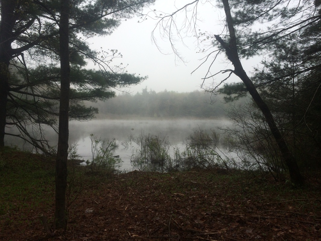
On my previous Tunxis hike, Roscoe and I made our way from Ski Sundown in New Hartford to Route 219 in Barkhamsted on what was a perfect spring day. Since that hike, Roscoe has been having some medical issues which would force him to sit out this next section. I hated leaving him behind...and a cloudy forecast certainly didn't help. But, it was my 33rd birthday so I was determined to make the most of it.
To reach the parking location from Hartford:
Follow I-91 North to Route 20 West. Stay on Route 20 for 9.0 miles then turn left on Route 219. Stay on Route 219 for approximately 5.0 miles. The parking location is on the left (south) side of Route 219, shortly after Hillcrest Drive.
From the parking location, I started out heading due east on Route 219…
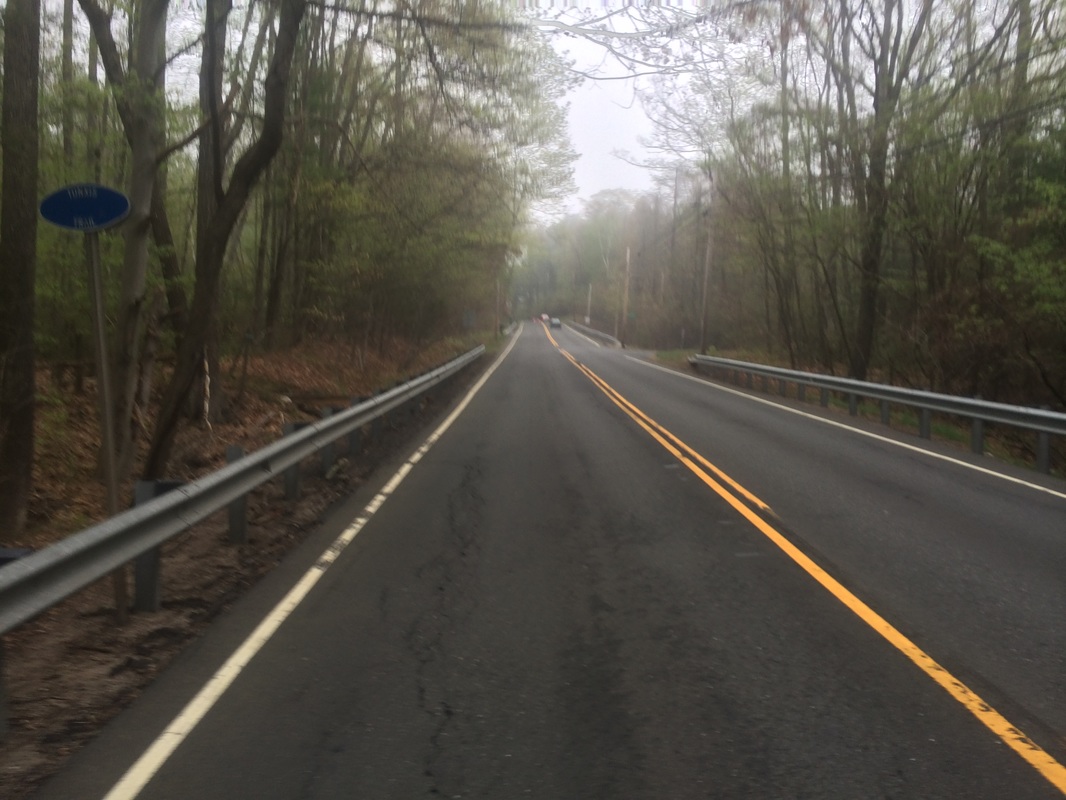
After
waiting for some early morning traffic to pass, I crossed the road and hopped
the guard rail on the other side. I
crossed over a seasonal brook on a foot bridge and entered the woods. The first section of trail brought me uphill
and through an old stone wall.
Roughly 1.1 miles in, I crossed the dirt extension of Washington Hill Road, near this staircase…
Roughly 1.1 miles in, I crossed the dirt extension of Washington Hill Road, near this staircase…
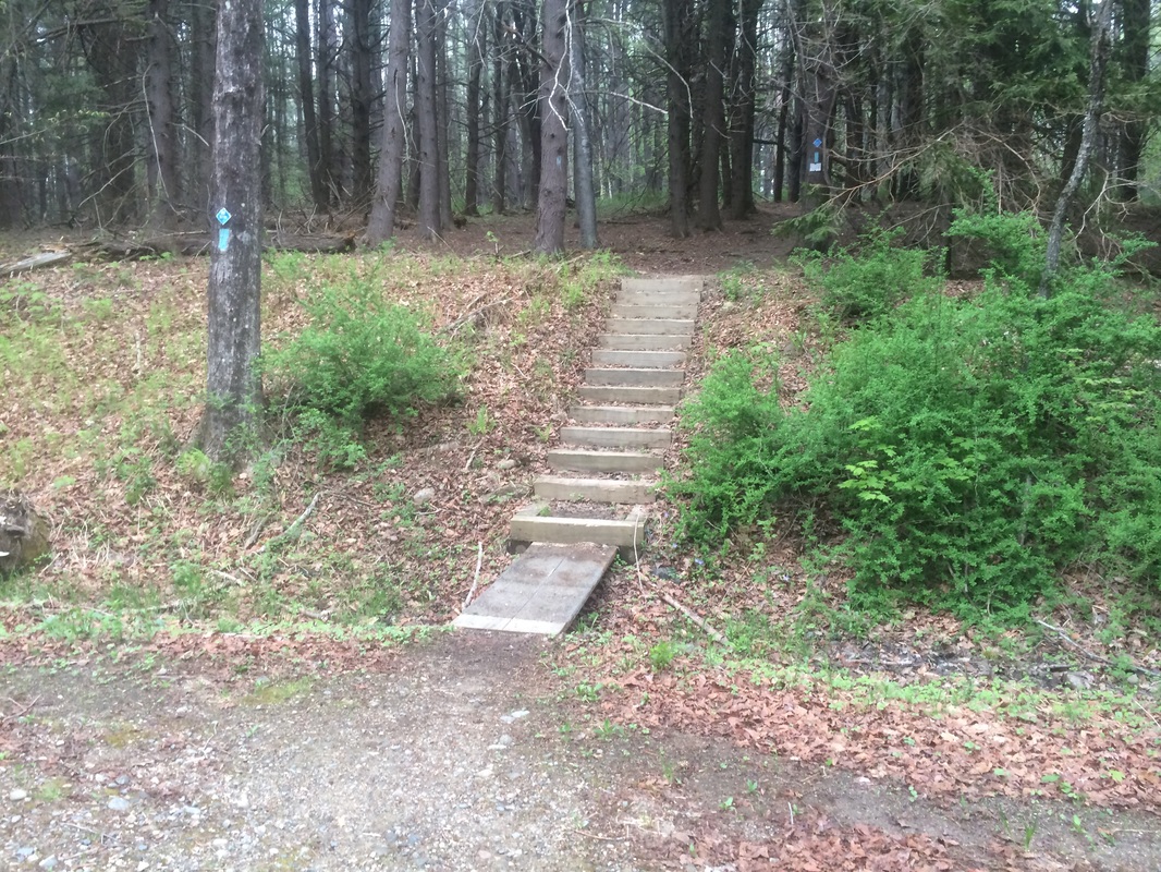
According
to the Walk Book, the clay from a nearby pit was used to make bricks for the
Washington Hill Church at the junction of Routes 219 and 179. The church, originally started in 1833, was
dedicated in 1834. Keep an eye out for
this historical landmark as you make your way to/from the trail.
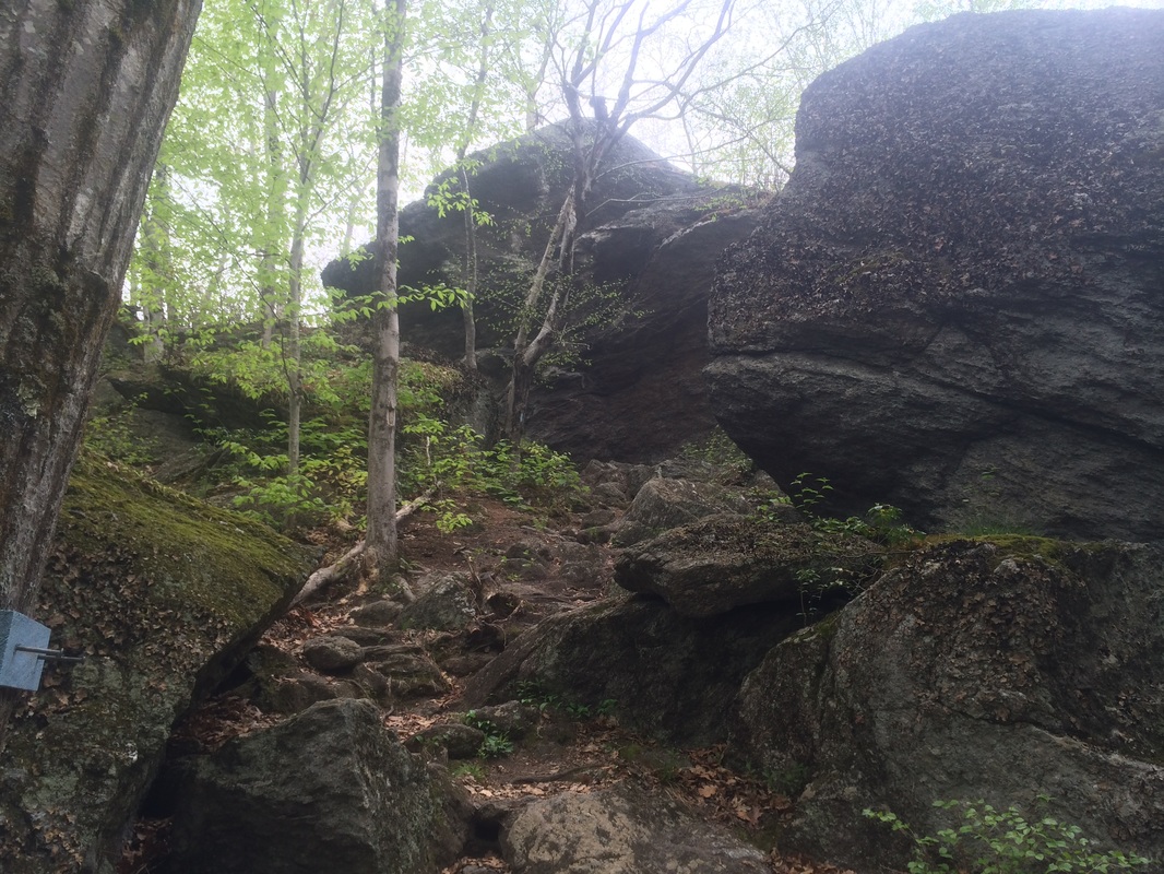
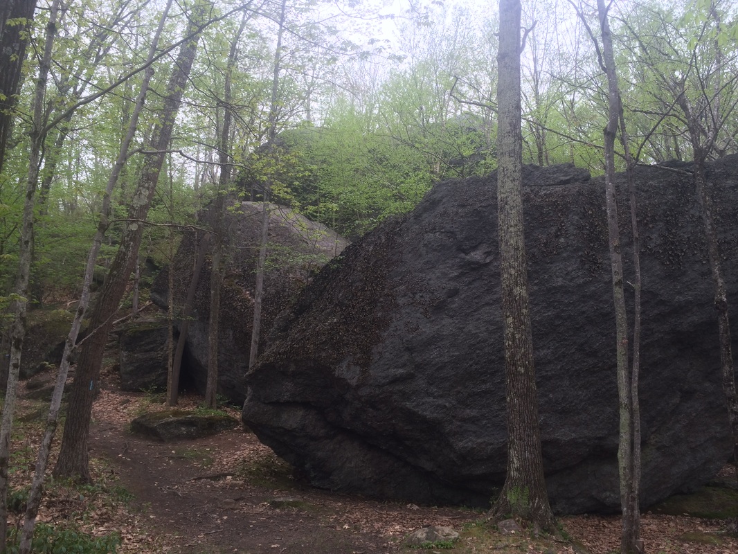
Approximately 2.3 miles in, after heading due west for a stretch, I reached the top of Indian Council Caves…
Approximately 2.3 miles in, after heading due west for a stretch, I reached the top of Indian Council Caves…
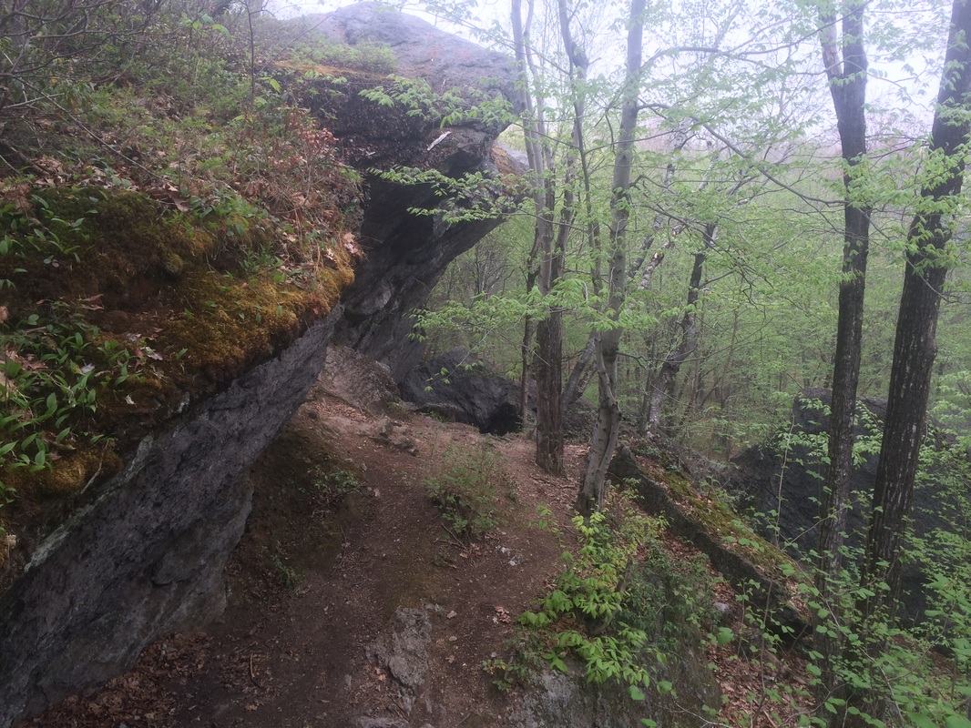
The
“caves”, typical of Connecticut, are really a set of large boulders with
cave-like pockets. According to the Walk
Book, Native American artifacts have been found here in the past. But, there isn’t any certainty the area was
ever used as a council site. Regardless,
I found the geology here interesting and took a few extra pictures as I made my
way down the south side of the “caves”…
At
the base of Indian Council Caves, I followed the trail left (north) and passed
a cellar hole…
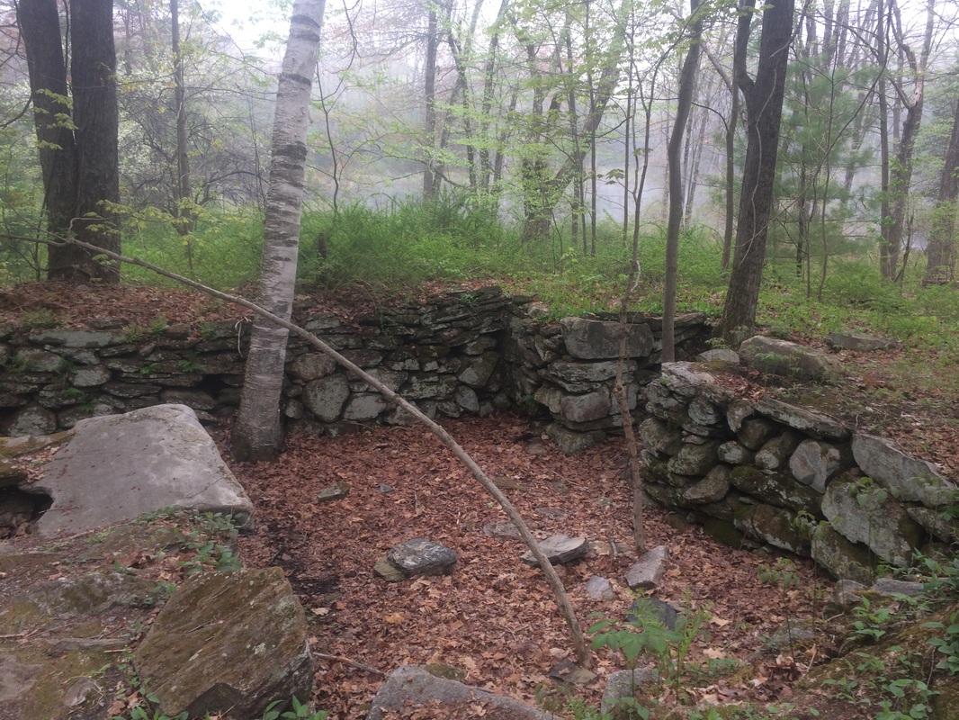
With
the close proximity to the "caves", and a sizeable pond
nearby, this probably made for some pretty nice digs back in the day.
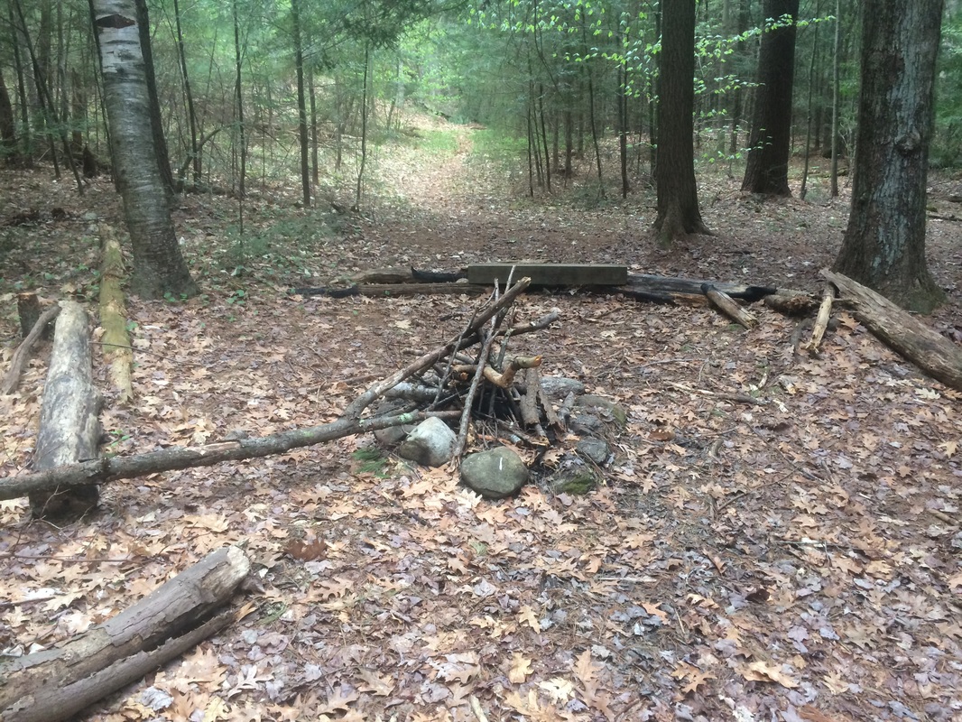
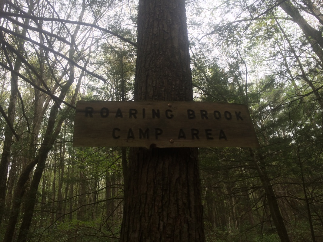
Roughly 2.6 miles in, without realizing it, I passed my pre-determined turn around point…an unmarked trail which leads due west to Route 179 near Legeyt Road. I only realized my error about 3/10 of a mile later, when I passed a sign for the Roaring Brook Tent Loop…
Roughly 2.6 miles in, without realizing it, I passed my pre-determined turn around point…an unmarked trail which leads due west to Route 179 near Legeyt Road. I only realized my error about 3/10 of a mile later, when I passed a sign for the Roaring Brook Tent Loop…
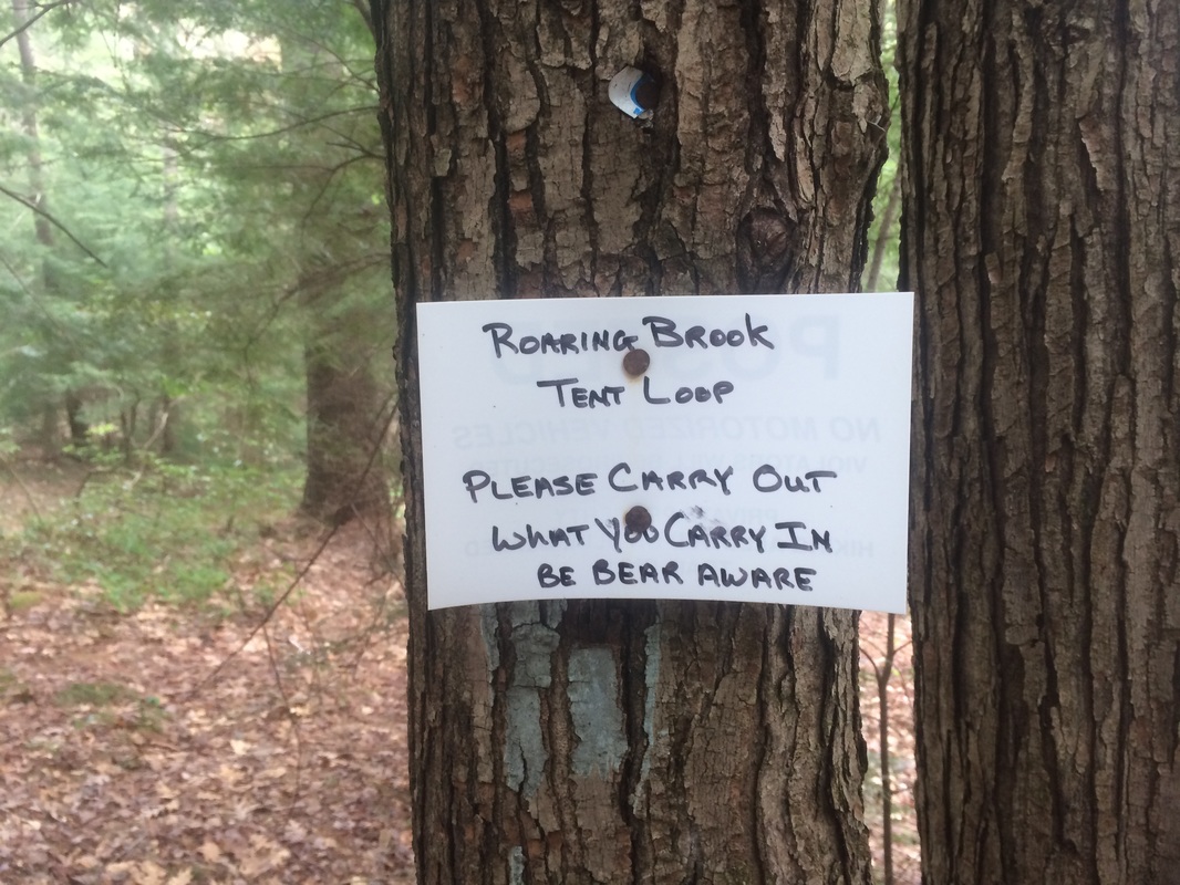
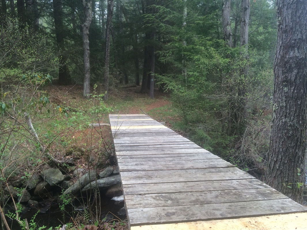
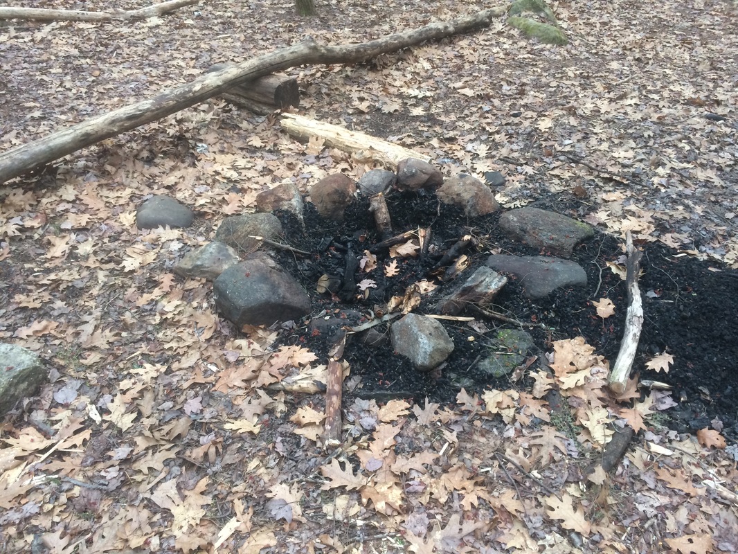
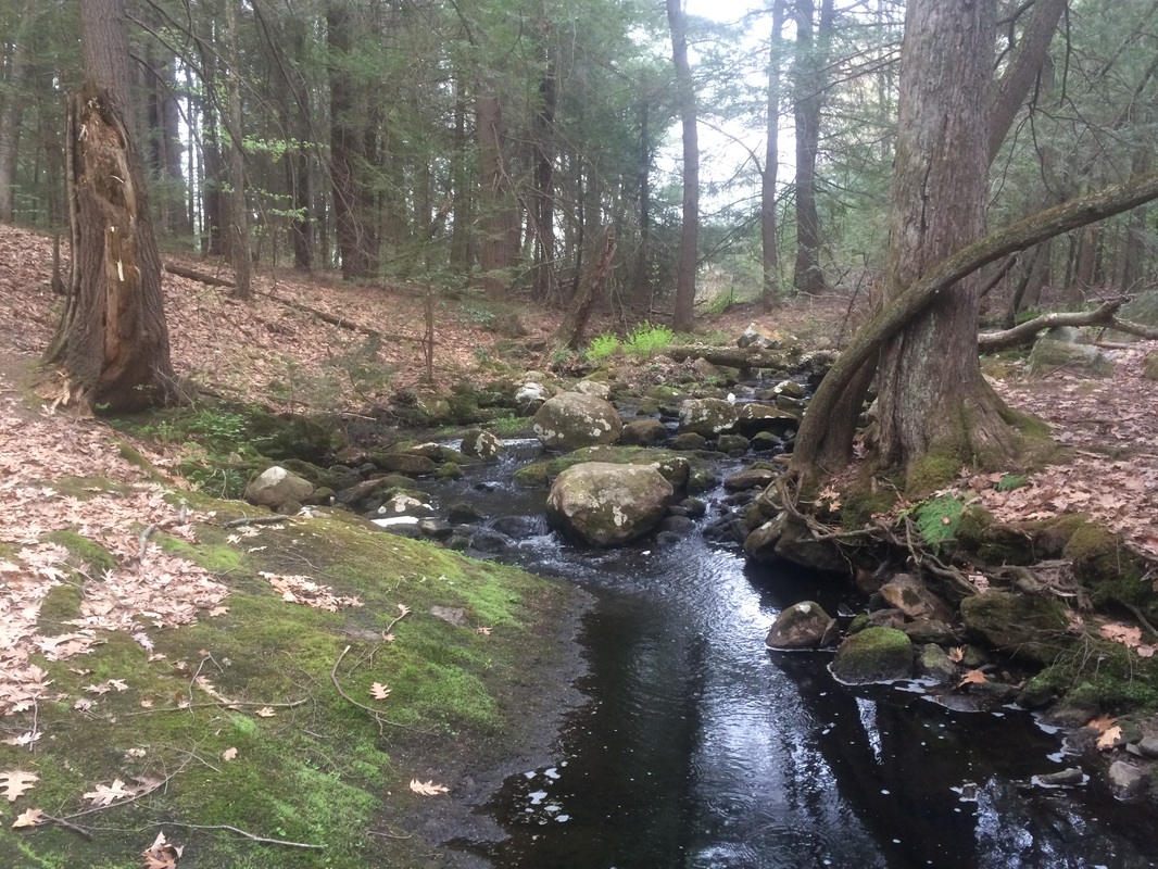
Approximately
2.9 miles in, after crossing Roaring Brook on a foot bridge, I decided to
follow the Roaring Brook Tent Loop and explore the area…
|
|
|
|
After
completing the short loop and linking back up with the Tunxis, I turned right (south)
and started a circuitous trip back to my car.
Along the way, I made a detour to scout out the parking at the corner of
Route 178 and Legeyt Road (for my next Tunxis hike) and took advantage of
several woods roads in the area (one short-cut, one not).
Overall, this was a good hike. Just like the Mattabesett, I only have a few Tunxis hikes left. So, I’m savoring every moment.
Until next time…
Overall, this was a good hike. Just like the Mattabesett, I only have a few Tunxis hikes left. So, I’m savoring every moment.
Until next time…
For a map of this hike, along with elevation data, please click here.
Total 2015 Distance: 226.1
(273.9 to Goal)
