Hike #140
Appalachian Trail
Race Brook Falls Trail to Sages Ravine Brook (Mount Washington, MA)
Direction of Travel: Southbound
Hike Distance: 12+ Miles
Date Hiked: 10/17/2015
Date Published: 10/18/2015
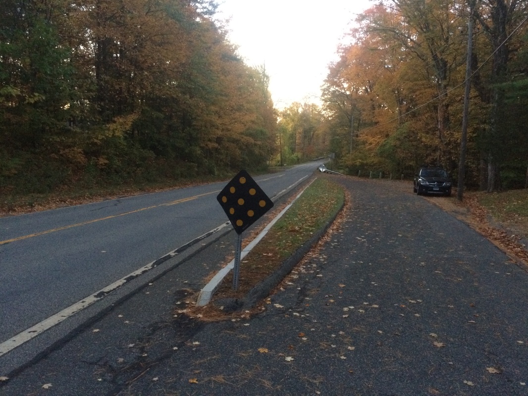
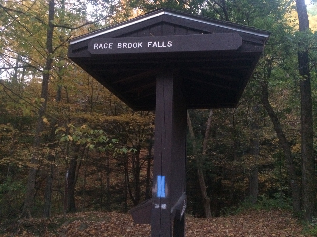
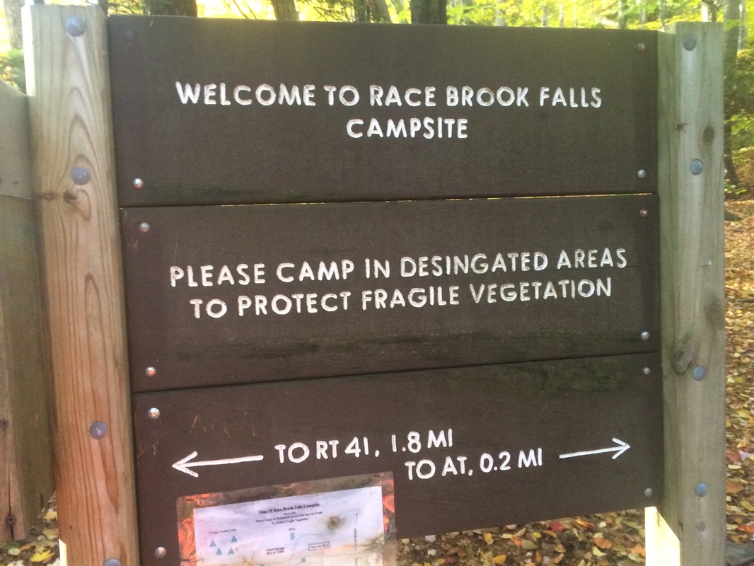
In June, when I finished the Connecticut miles of the Appalachian Trail (Hike #137), I figured the next logical step would be to start working on the Massachusetts miles. Then, it got really hot and I started training for the Hartford Half-Marathon. So I didn’t have a lot of motivation, energy, or spare time for hiking. Now that the Half-Marathon is over (I finished in 2:21:18) and the weather is cooling off, I thought the first section of AT in Massachusetts would be the perfect place to start the final push to 500 miles in 2015. I would’ve preferred to pick up right where I left off in June, but that section of trail is in the middle of the woods and, to my knowledge, there isn’t an access trail which leads to it. The closest access trail is Race Brook Falls Trail, which heads due west from Route 41 in Sheffield, Massachusetts.
|
|
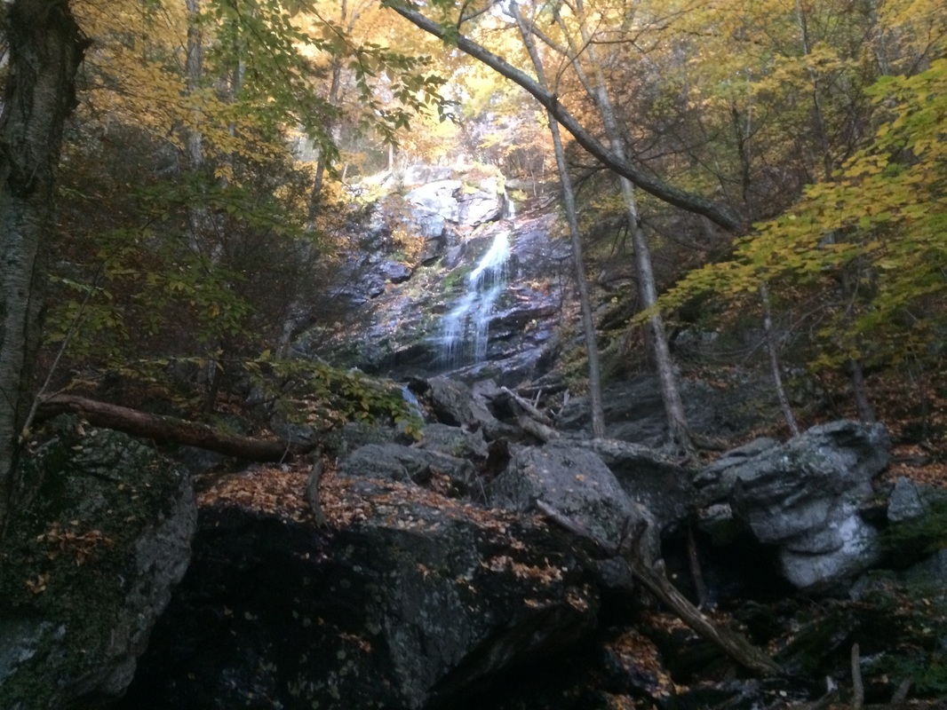
Roughly 6/10 of a mile in, I reached the base of the lower falls and was treated to this view…
Approximately 1.0 mile in, after retracing my steps, I returned to where the trail splits off. This time I went to the left of the sign and started following the trail towards the upper falls.
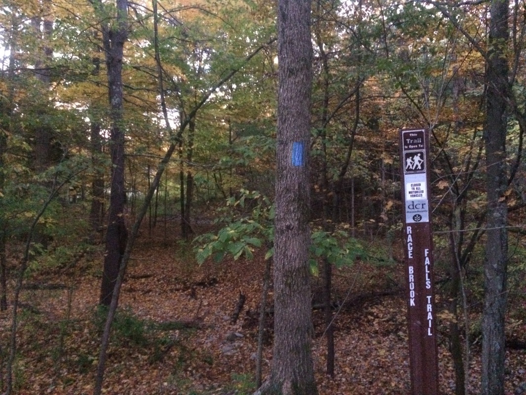
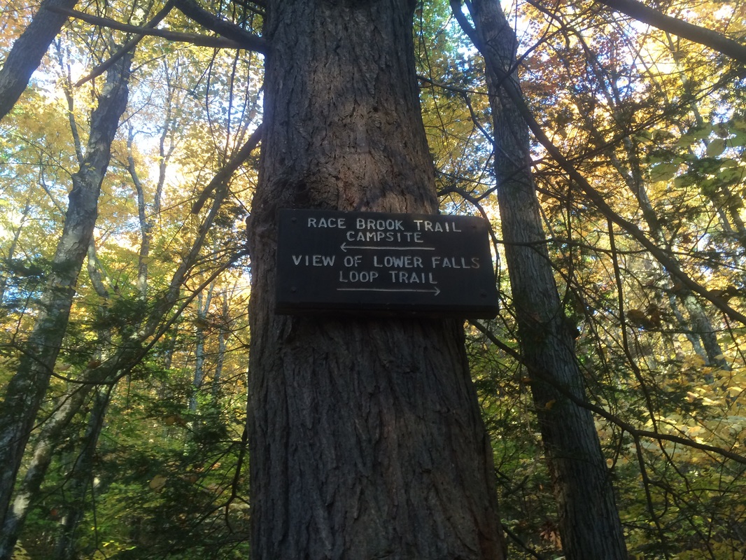
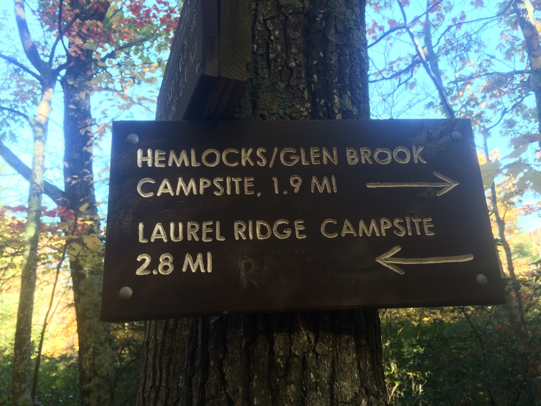
Roughly 1.4 miles in, after crossing Race Brook for the first time and climbing steadily for a while, I reached the sign in the photo below…
Approximately 1.8 miles in, I returned to main trail and started climbing again. The next 2.5 miles of the hike was pretty much all climb…and I quickly realized that being in shape to run a half marathon is not the same as being in good “hiking shape”.
Roughly 2.2 miles in, I crossed Race Brook again…
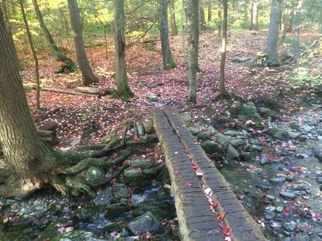
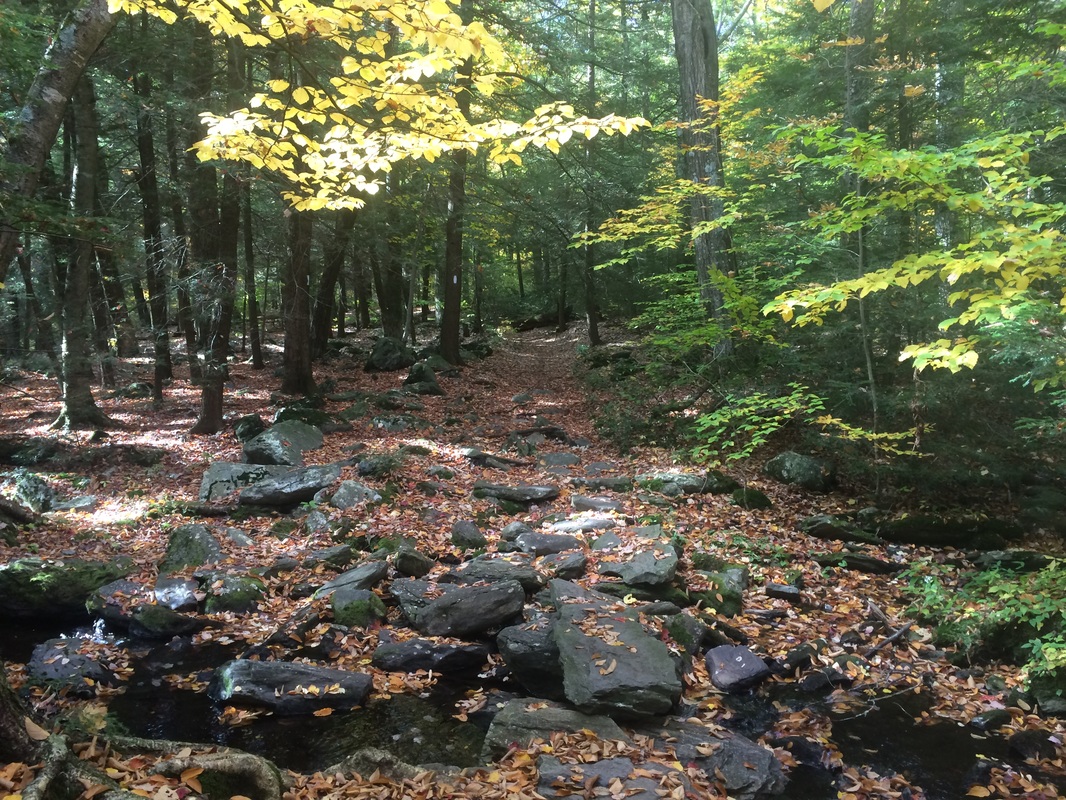
Approximately 2.6 miles in, after a switchback and a brief section where the trail parallels the water, I crossed the brook for the third and final time on this log bridge…
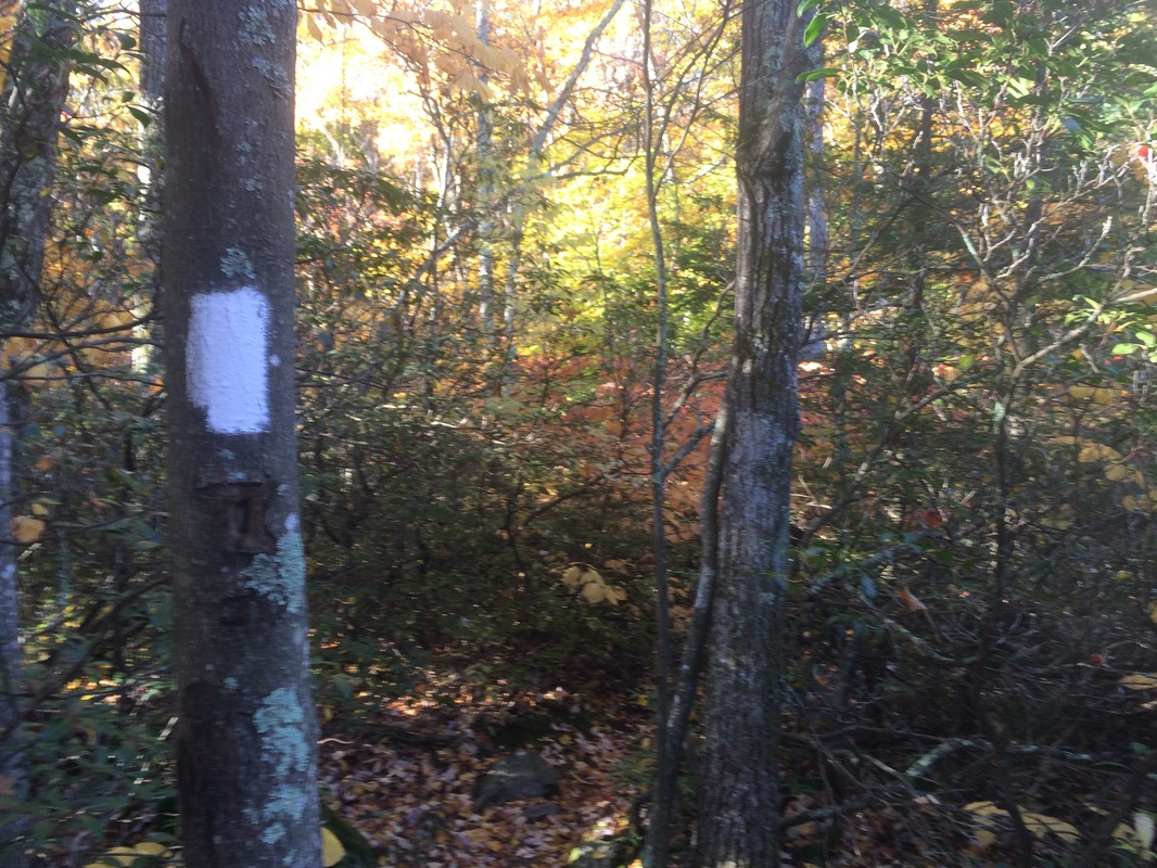
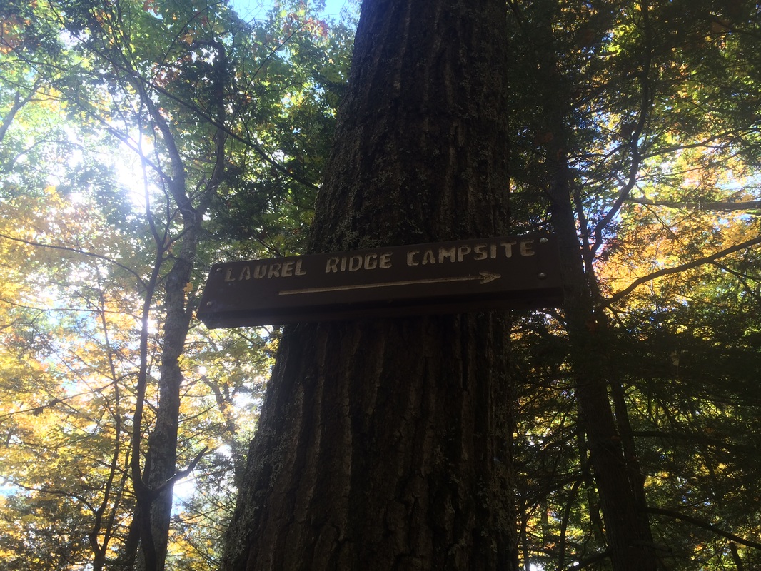
Approximately 3.4 miles in, I finally reached the white blazes of the AT and made a left to follow the trail south towards Mount Race and Laurel Ridge Campsite beyond…
|
|
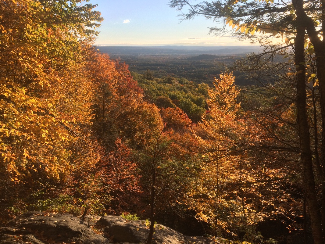
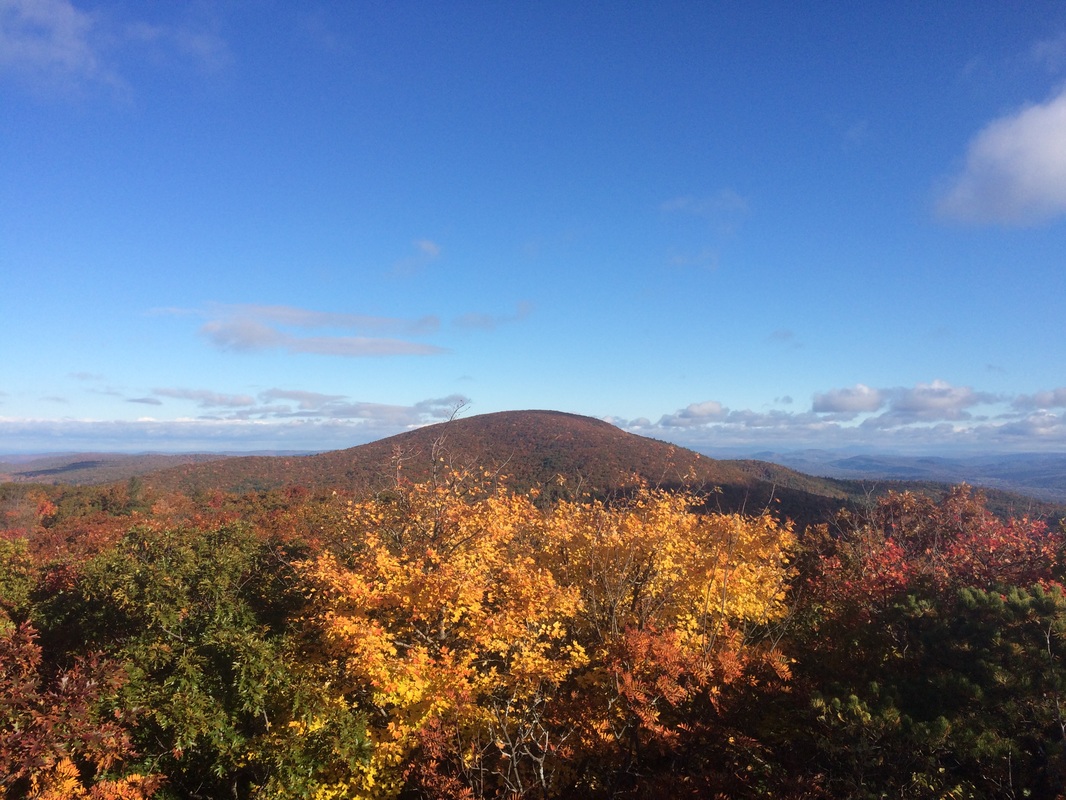
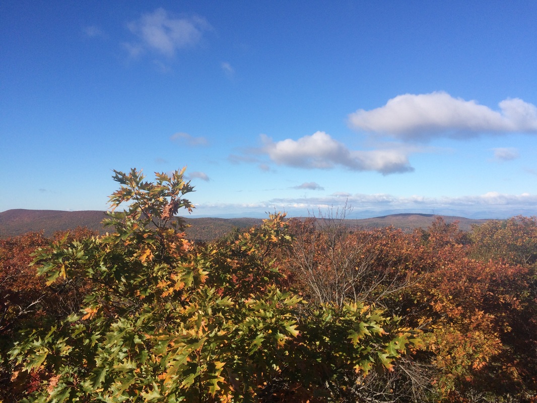
Roughly 4.4 miles in, I reached the summit and took a minute to enjoy the views. To the north (first photo below), I could see Mount Everett…which I will summit on my next AT hike. To the west (second photo below), beyond the Taconic Range in the foreground, I could make out the faint outline of the Catskills in the distance…
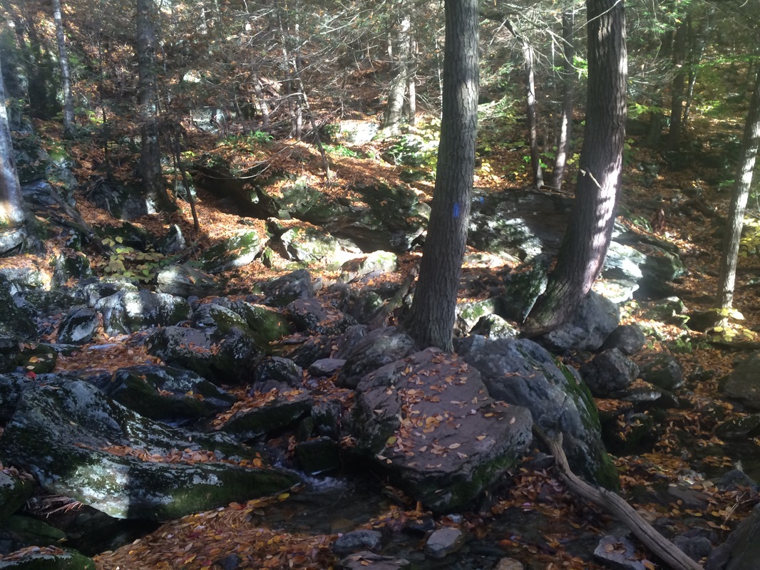
Approximately 6.0 miles in, as I crossed Bear Rock Stream, I found myself in one of those quiet areas you can only appreciate if you experience the trail first hand. The picture below doesn't quite capture the whole feeling...
On the return trip, I made really good time. But, somewhere between miles 11 and 12, my phone battery died…which meant my MapMyHike app was going to do that silly straight line, even descent back to the car thing it did on Mount Mansfield a few weeks back. I hate the way that screws up my map but it is what it is. I’m more concerned about how my phone will hold up on my next AT hike, which is going to be an even longer journey.
Until next time…
For a map of this hike, along with elevation data, please click here.
