Figure 8
Tunxis Trail (Burlington Region, Part 3)
Hike # 98
Hike Distance: 7.19 Miles
Date Hiked: 4/19/2014
Date Published: 4/26/2014
Tunxis Trail (Burlington Region, Part 3)
Hike # 98
Hike Distance: 7.19 Miles
Date Hiked: 4/19/2014
Date Published: 4/26/2014
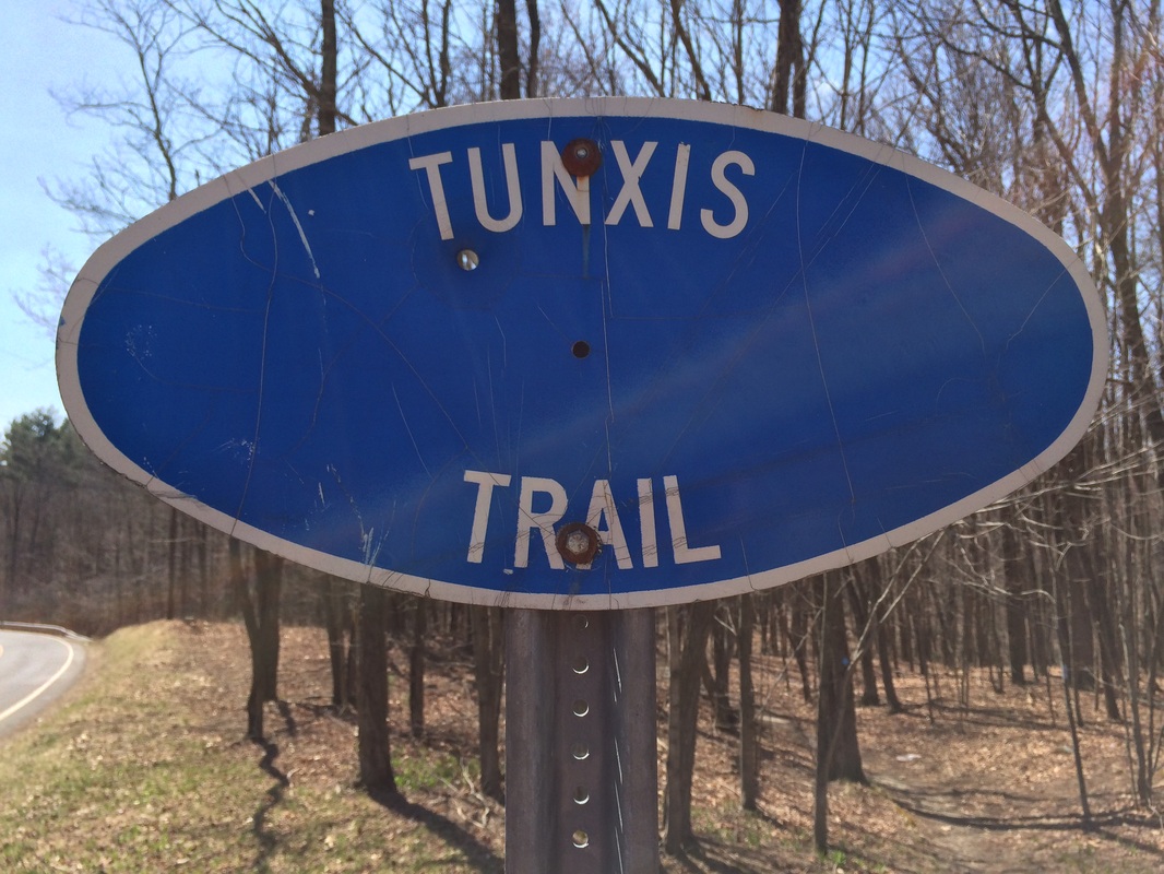
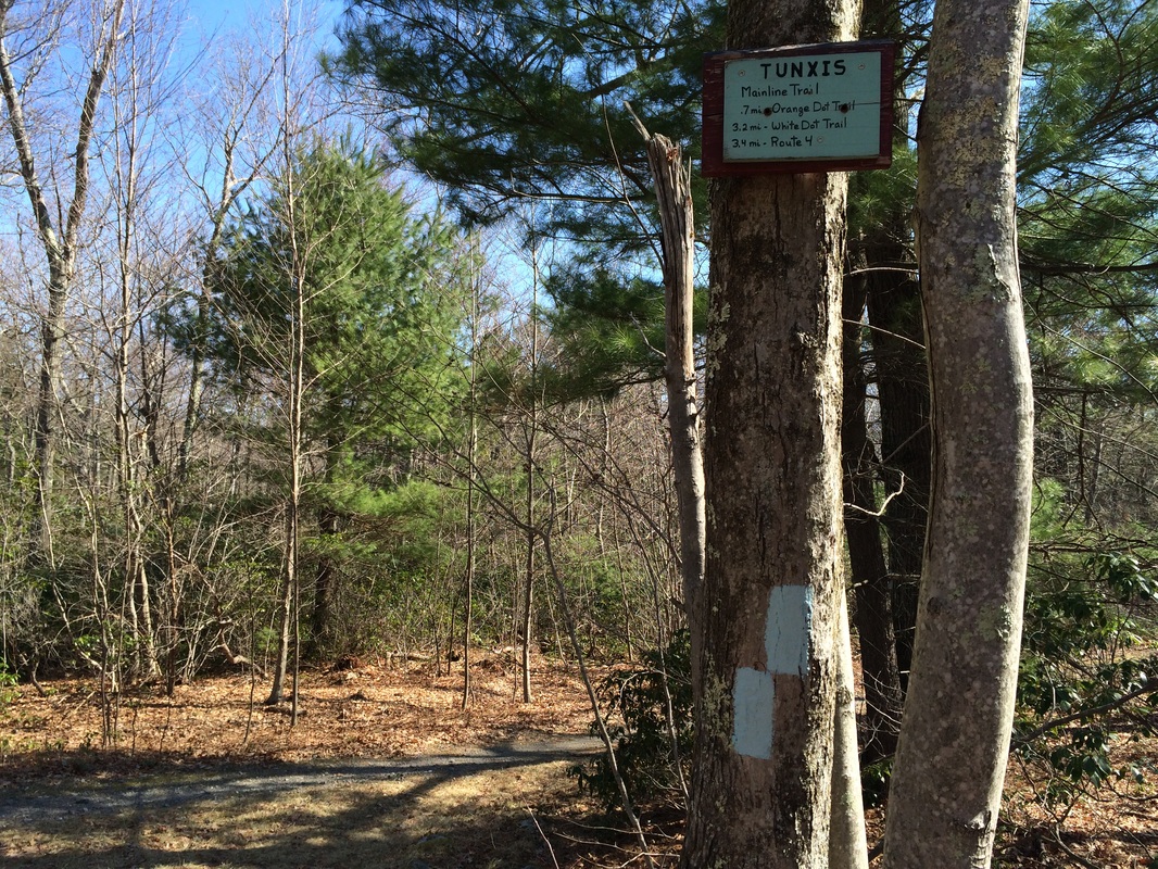
A couple of weeks after our last Tunxis hike, Roscoe and I made our way over to Sessions Woods Wildlife Management Area in Burlington. On my last Tunxis hike, I used the parking area at the Sessions Woods Education Center as my turn around point. For this hike, it would serve as my start/end point. From the parking area, we started by heading due west to pick up the Tunxis. I stopped to take a picture of the map at the trailhead...
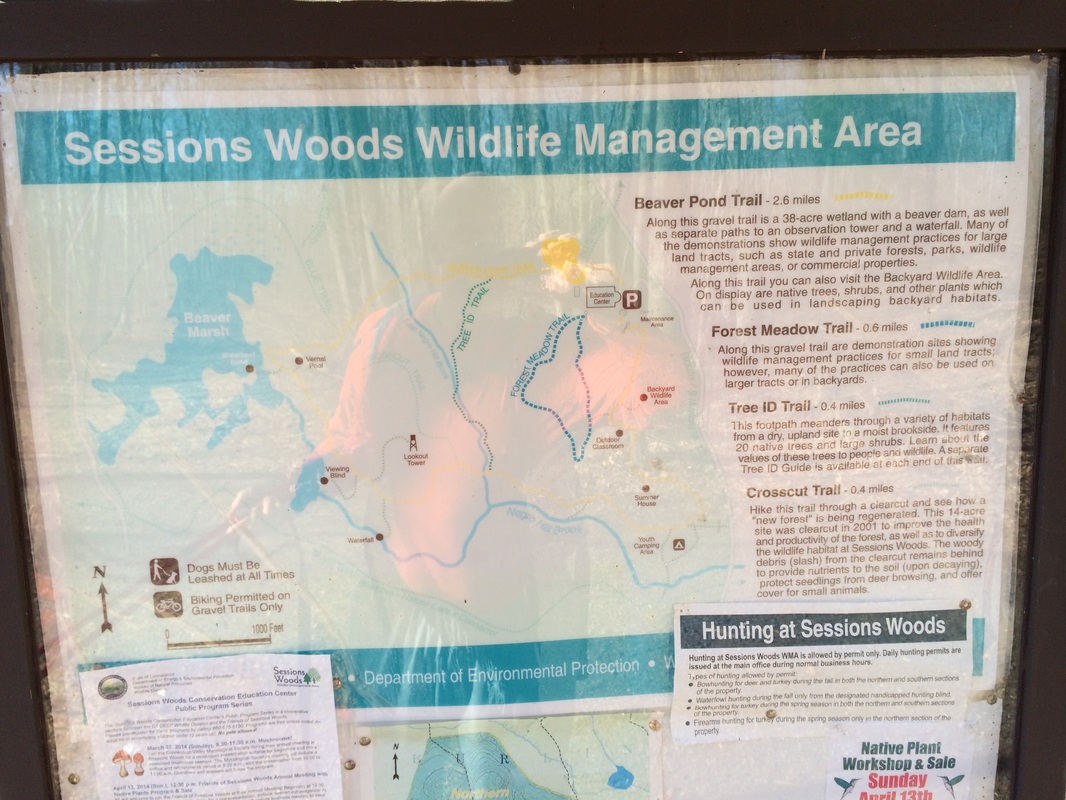
I made a mental note to return here one day, after completing the Tunxis, if only to check out that lookout tower the map indicates is in the center of Session Woods.
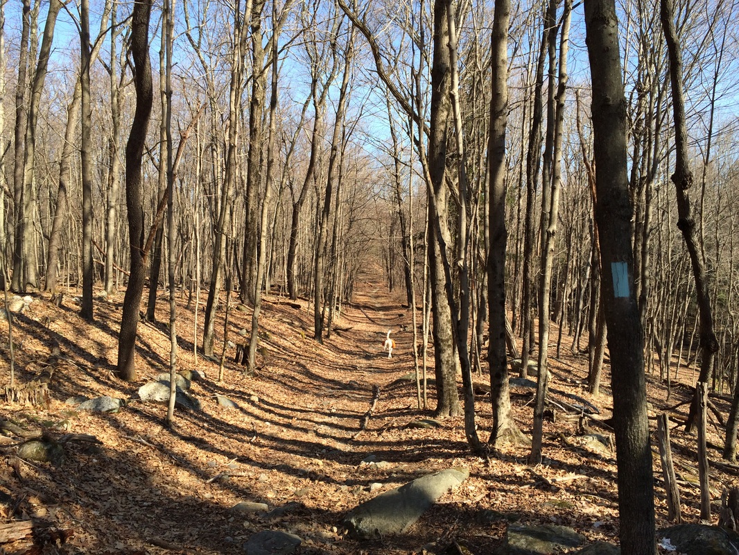
From the map, we made an about face and started following the Tunxis Mainline due north. As the trail starts out here, it follows a wide path. And, it wasn't long before we left Session Woods behind...
From the map, we made an about face and started following the Tunxis Mainline due north. As the trail starts out here, it follows a wide path. And, it wasn't long before we left Session Woods behind...
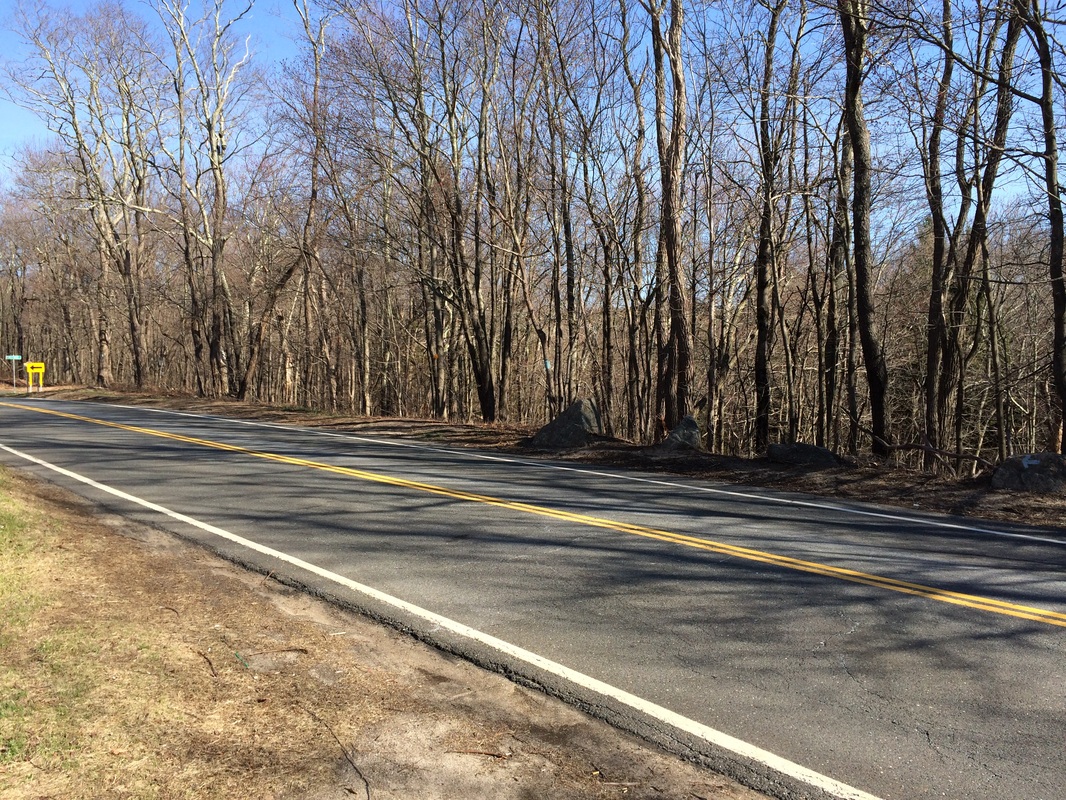
After roughly 1/10 of a mile, the trail reaches and follows Route 69 for a few bit...
On the other side of Route 69, the trail reenters the woods and follows a woods road...
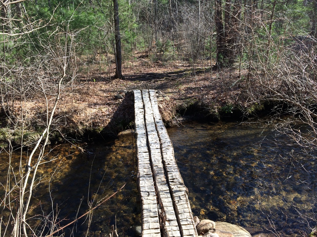
According to the Walk Book, the trail crosses Whigville Brook 2/10 of a mile from Route 69. But, I found the distance to be closer to half a mile from Route 69 (6/10 of a mile from the Sessions Woods parking lot). But, it was such a nice day out, I wasn't going to let the difference in distance get me down. With a smile from ear to ear, I carefully crossed the brook on this bridge...
Approximately 4/10 of a mile after crossing Whigville Brook, we came to an intersection of trails. Here, roughly 1.0 from the start of our hike, we crossed the Orange Dot Trail at Clarks Corners. My plan was to pick up the Orange Dot Trail a little later in the day, which would lead me right back through this area on that trail. But, for now, we stayed on the mainline...still heading due north.
Roughly 2/10 of a mile later, the woods road we had been travelling turned to a paved road (Cornwall Road) and we made a right to follow the trail east for a stretch. You'll know you are in the right area because there is a rather large house here, right at the end of the paved section of Cornwall Road.
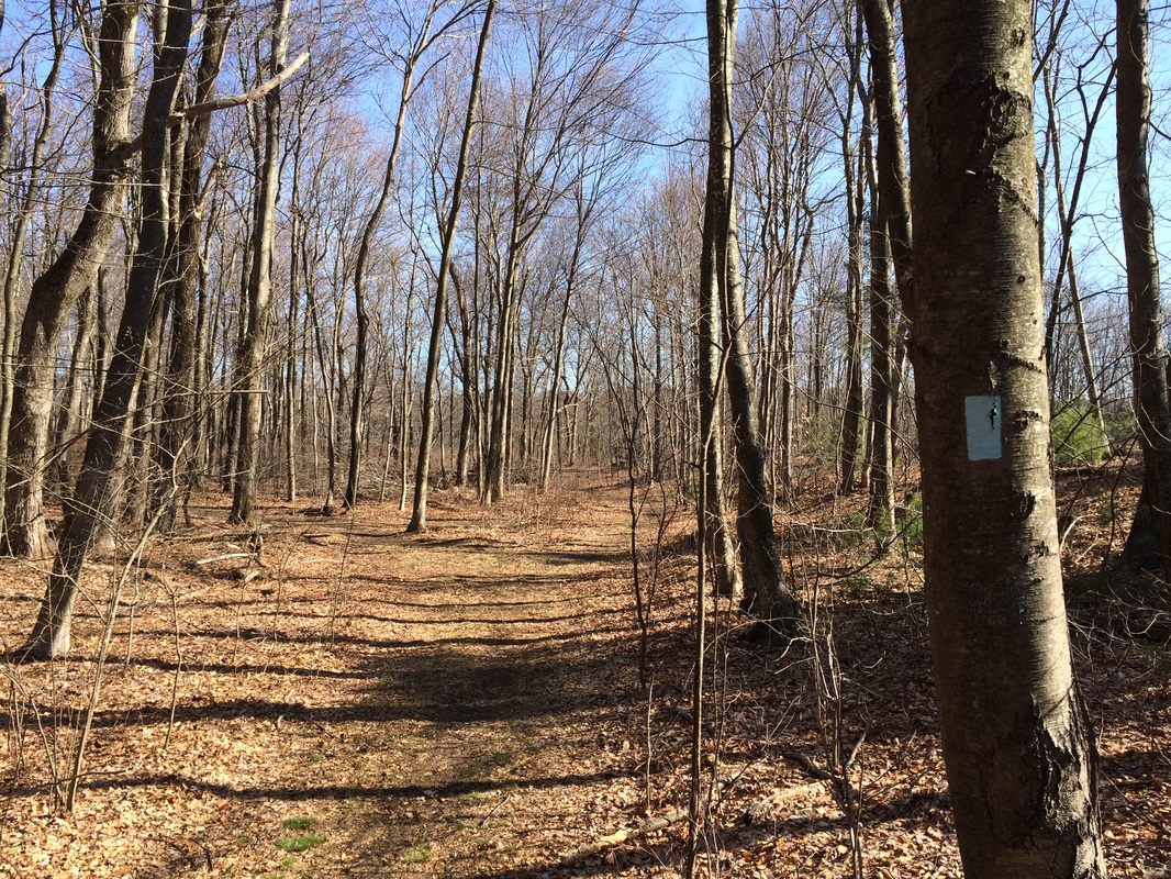
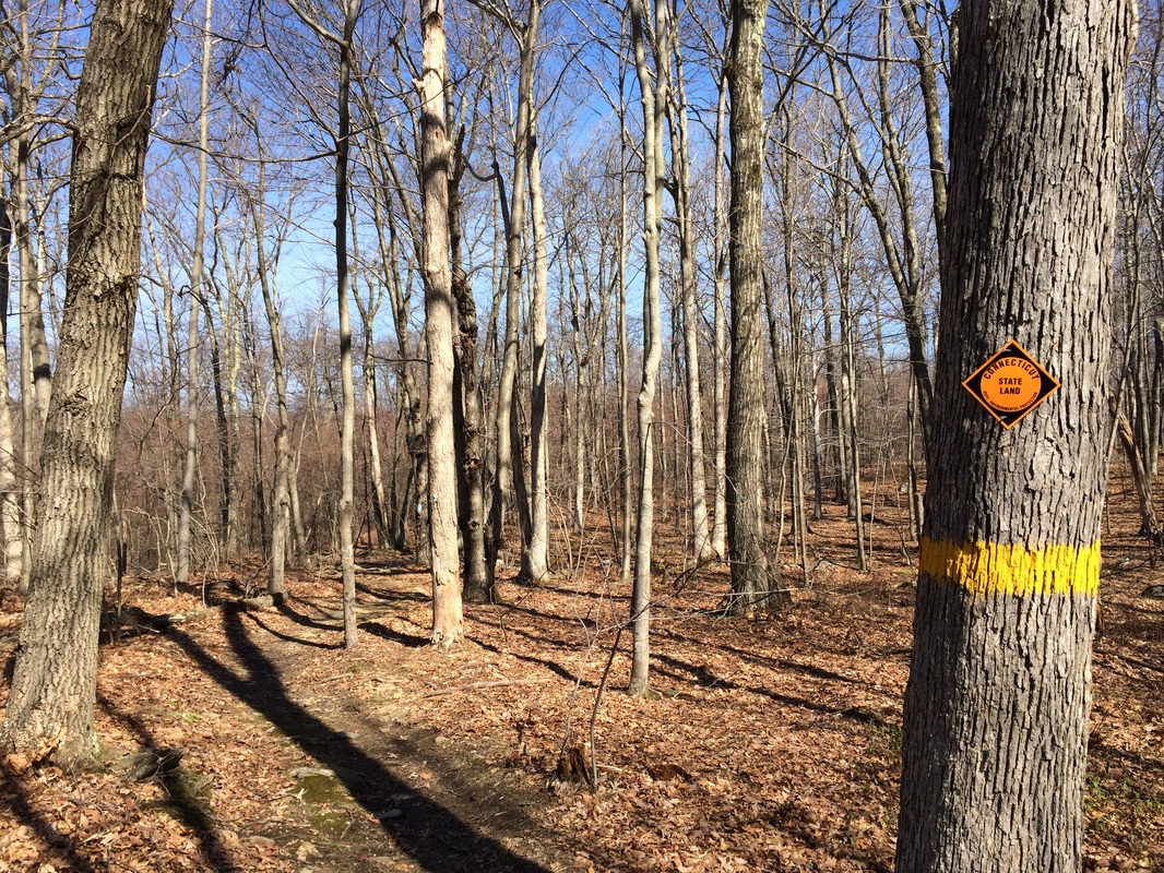
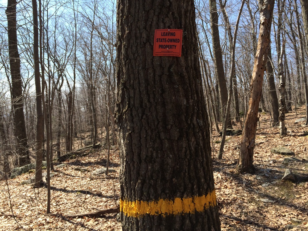
Shortly after turning right, we made a left and started heading north again. We also ascended steeply for the next half mile or so. As we continued to climb, we entered the Nassahegan State Forest. You'll know the place when you see the yellow bands on the trees...
Roughly 2/10 of a mile later, the woods road we had been travelling turned to a paved road (Cornwall Road) and we made a right to follow the trail east for a stretch. You'll know you are in the right area because there is a rather large house here, right at the end of the paved section of Cornwall Road.
Shortly after turning right, we made a left and started heading north again. We also ascended steeply for the next half mile or so. As we continued to climb, we entered the Nassahegan State Forest. You'll know the place when you see the yellow bands on the trees...
The Nassahegan State Forest is notable because it is home to one of Connecticut's three fish hatcheries. This section of the Tunxis is still about 3 miles from the actual hatchery. And, I didn't hike near the hatchery until the following day, so I'll recap about the hatchery more in my next post.
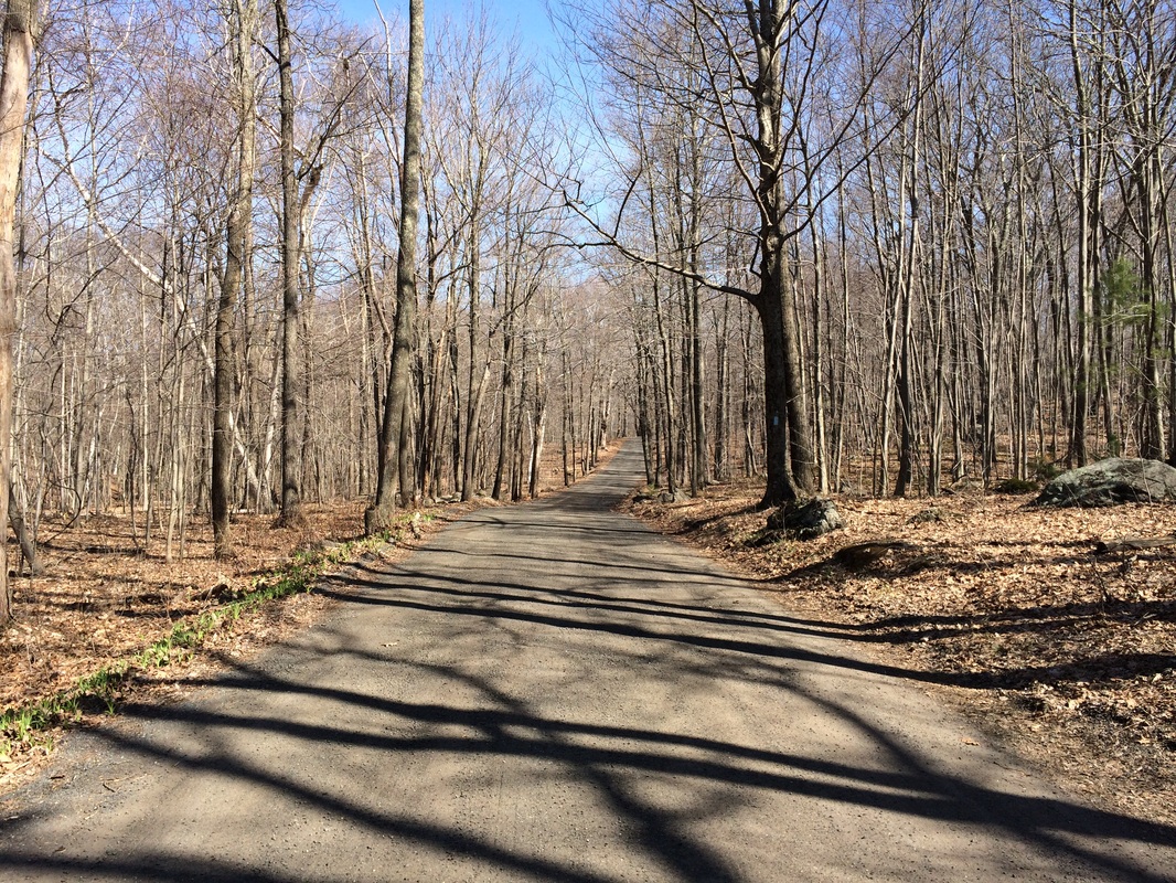
Approximately 1.8 miles since leaving the parking lot at Session Woods, we came to a trail junction. Here, the Green Dot Trail heads due north for about 6/10 of a mile to where it connects with the White Dot Trail. I planned to hike the Green Dot Trail on my next Tunxis hike. So, we made a hard right turn (east) and continued to follow the solid blue blazes of the mainline Tunxis...
Approximately 1.8 miles since leaving the parking lot at Session Woods, we came to a trail junction. Here, the Green Dot Trail heads due north for about 6/10 of a mile to where it connects with the White Dot Trail. I planned to hike the Green Dot Trail on my next Tunxis hike. So, we made a hard right turn (east) and continued to follow the solid blue blazes of the mainline Tunxis...
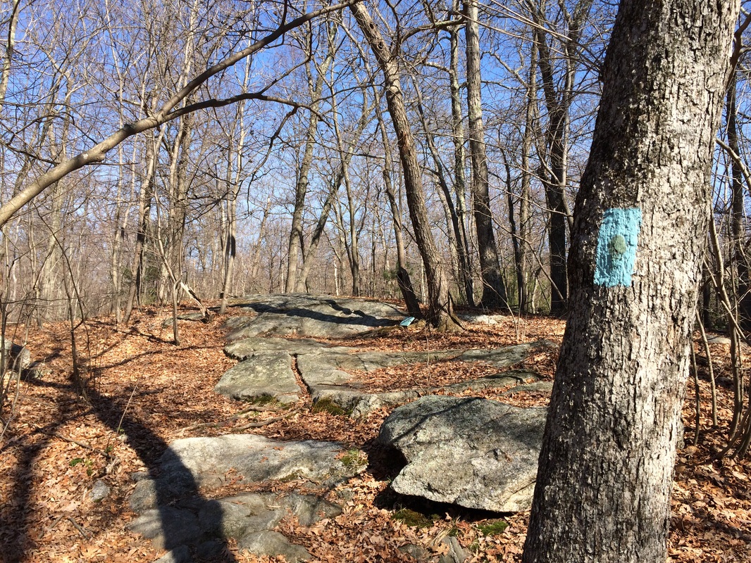
You might be able to tell from the photo that, when the mainline Tunxis makes the hard right turn to head east, it follows an unpaved road. This is Miller Road and the trail follows it for a bit before the road turns left and the trail turns right. After a quick jog due south, the trail turns east again and will continue heading in that general direction for roughly another 9/10 of a mile, when it reaches Stone Road.
Before reaching Stone Road, however, the mainline passes the Orange Dot Trail again. Before I made my planned trek along the Orange Dot Trail, I first had another 2/10 of the mainline left to cover before I reached my turnaround spot. So, we stayed on the mainline a while longer.
Approximately 2.6 miles from the start of our hike, we reached Stone Road. I crossed the road, snapped a photo the Red Dot Trail (which continues to head east from here), and turned around to head back to the Orange Dot Trail. I made a mental note that there is an additional parking location here, which I could use to pick up the mainline from this point on my next Tunxis hike...
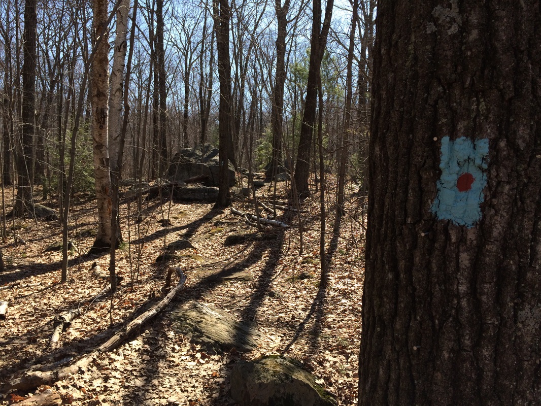
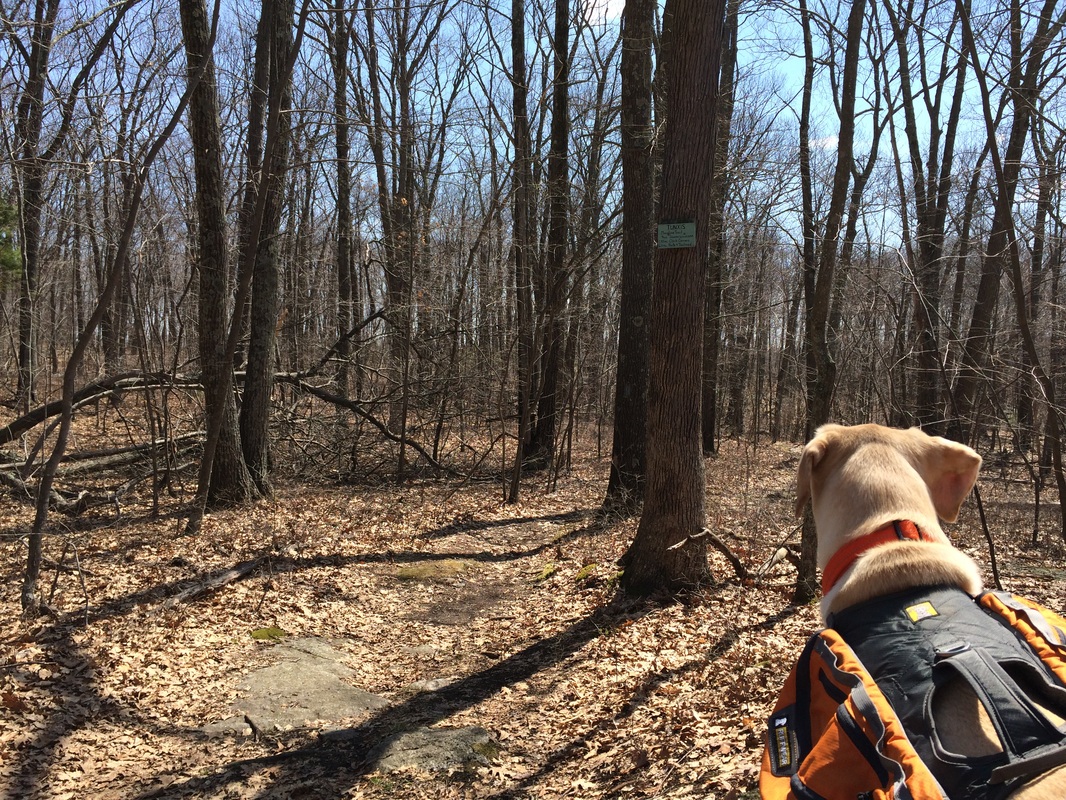
Roughly 2/10 of a mile after I turned back from Stone Road, I had doubled back far enough to take the Orange Dot Trail due south. I made the turn and started looking for blazes with orange dots. I knew I made the correct turn, but the first blaze was solid blue. So, I snapped a photo of the second blaze, complete with orange dot...
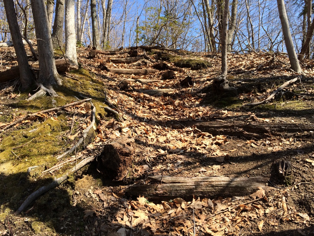
The first half mile of the Orange Dot Trail led us south along a ridge which parallels Stone Road. Along the way, we descended an interesting staircase of old trees and left the Nassahegan State Forest behind...
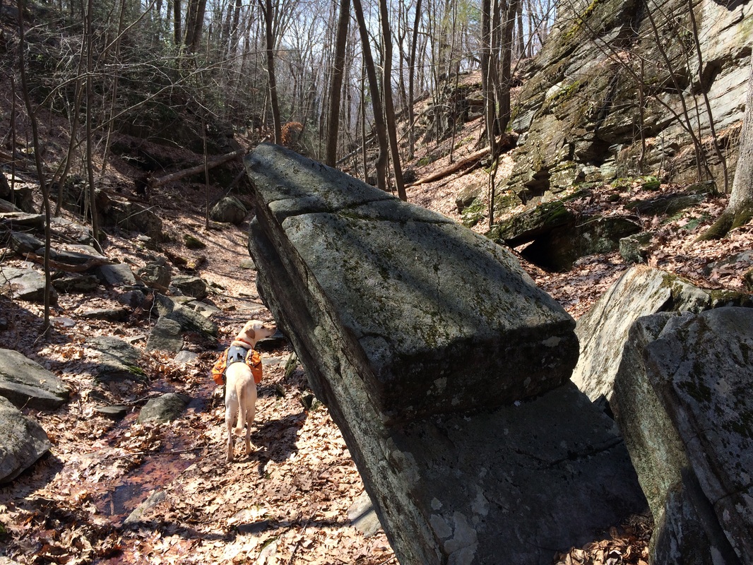
Approximately 3.6 miles in, we descended through a unique box ravine (with small cloven canyons) known as Devil's Kitchen. The geology here is certainly unique, as you can see in the photo below, but the name led me to believe this section would be more of a challenge than it turned out to be...
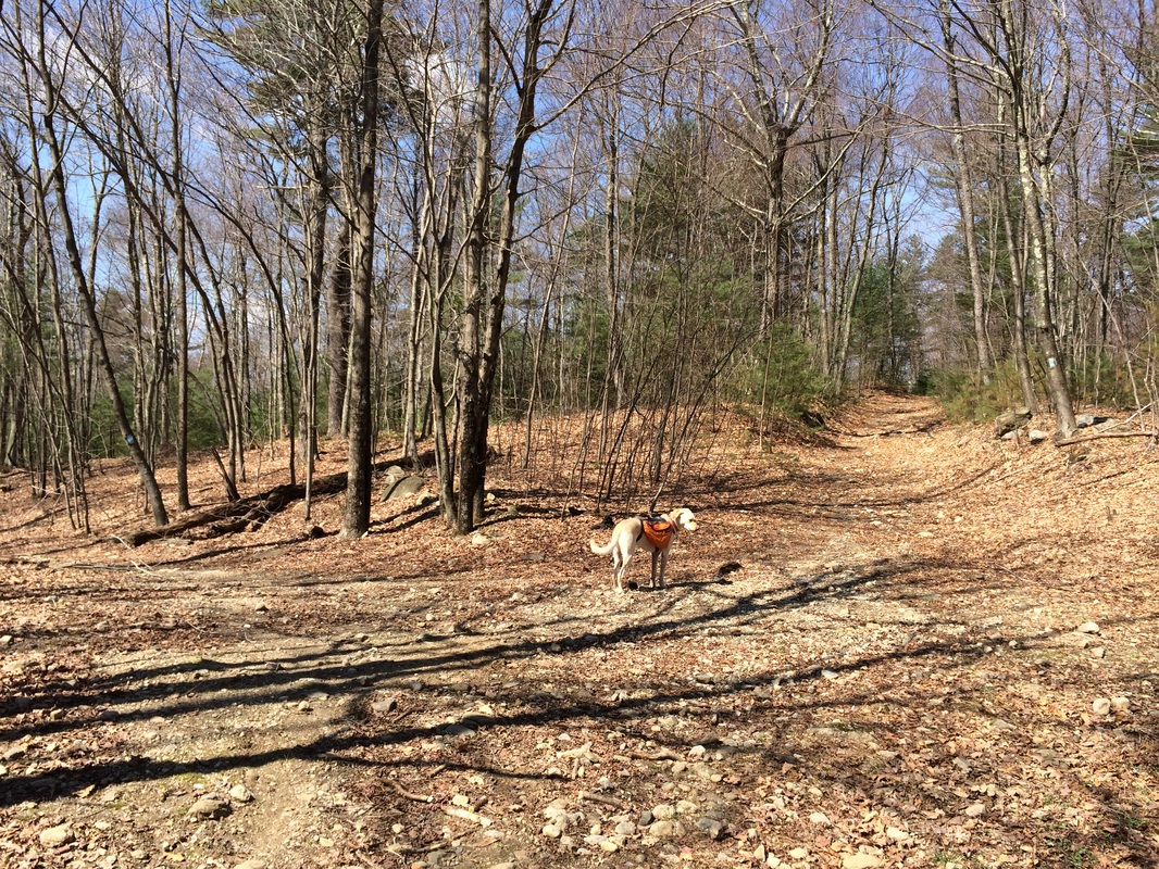
Around the 4.6 mile point of our hike, we returned to the area where the Orange Dot Trail and the mainline intersect. I took a photo of Roscoe standing in the middle of the intersection. Behind him, to the left of the photo, you can see the solid blue blaze of the mainline. More to the right of the photo, you can see where the Orange Dot Trail continues west. We stayed straight and followed the Orange Dot Trail west...
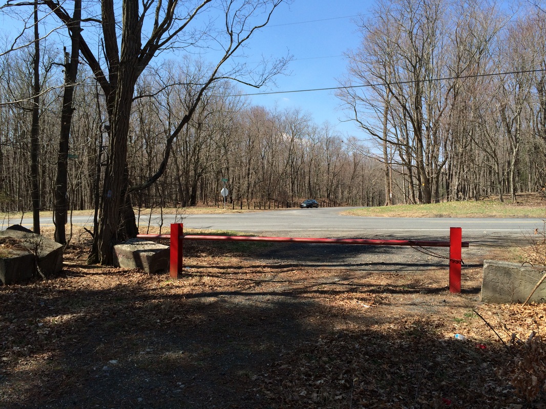
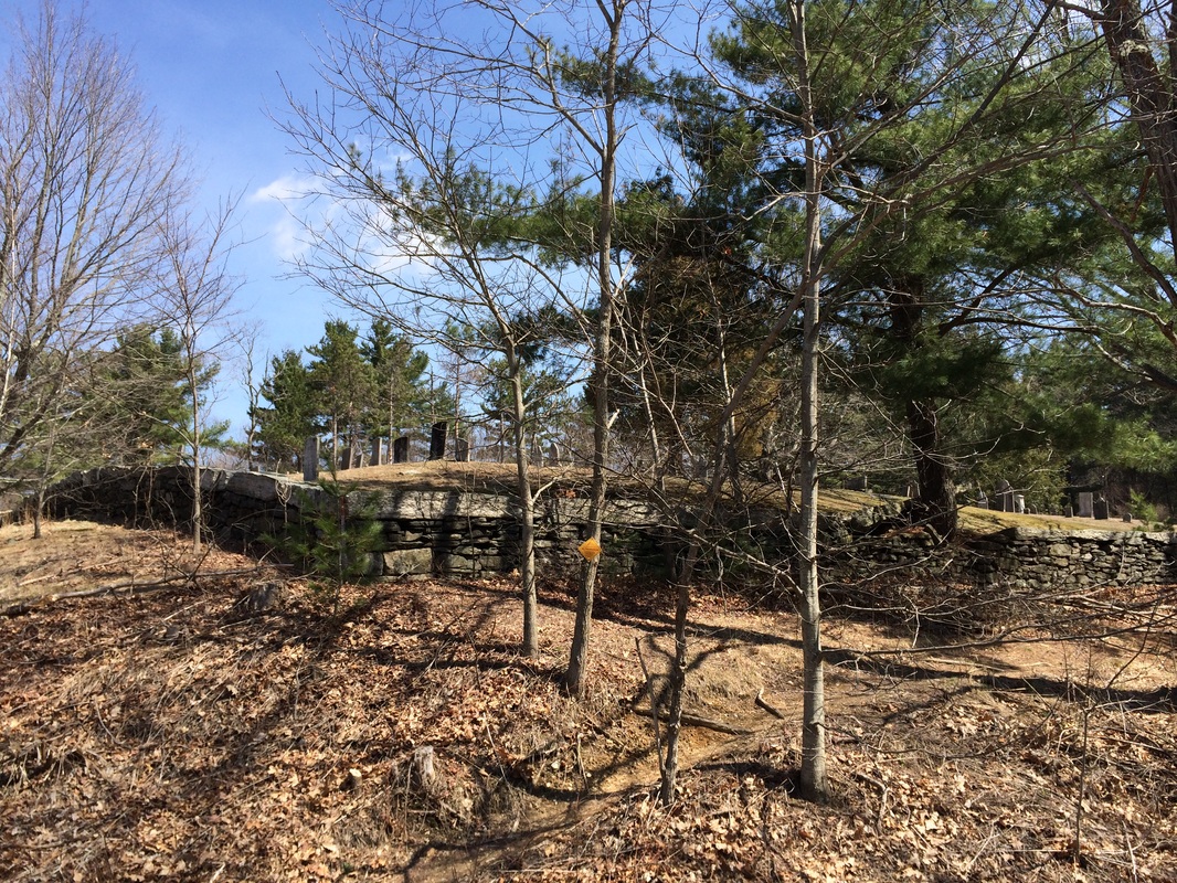
Roughly 8/10 of a mile from the intersection of trails, now 5.4 miles in, we came to Lamson Corner. Here, the Orange Dot Trail crosses Route 69. There is also an old cemetery, Lamson Corner Cemetery, here...
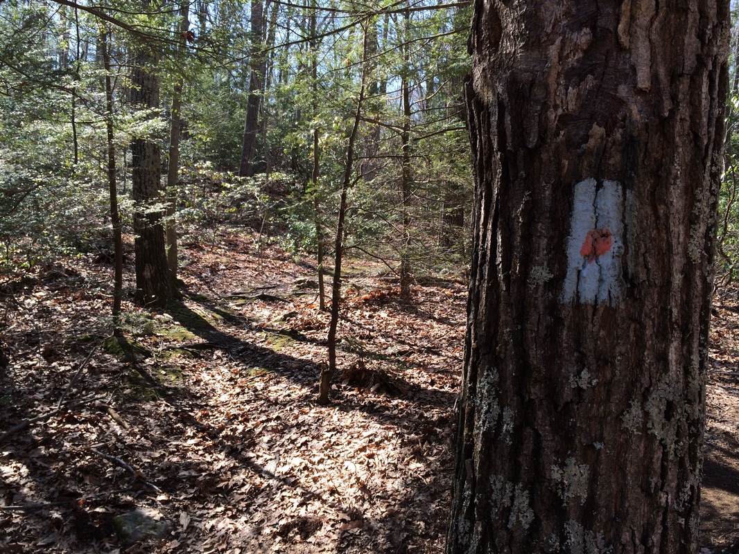
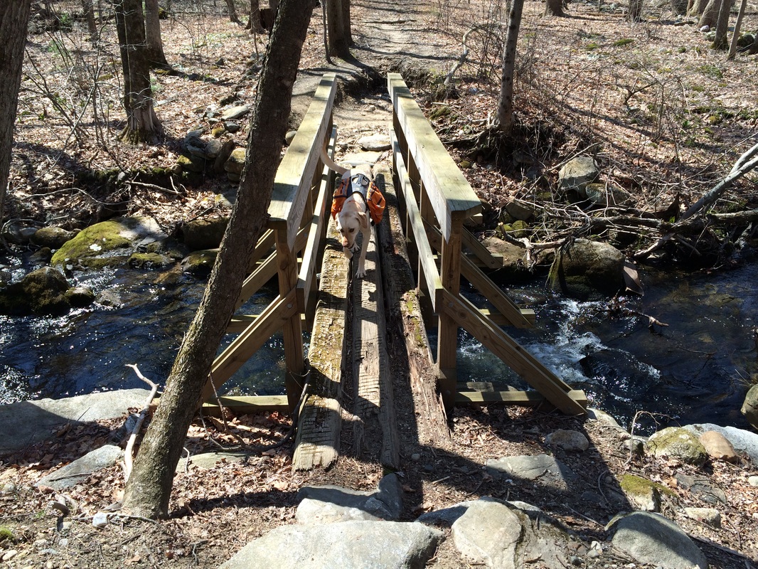
We crossed Route 69 and reentered the woods on the other side. About a tenth of a mile later, we crossed Whigville Brook again...this time on a much sturdier bridge...
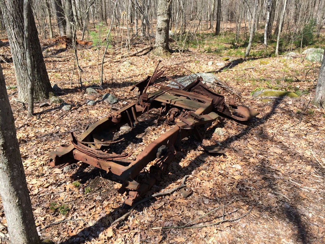
After another tenth of a mile, we crossed East Chippens Hill Road. Roughly 2/10 of a mile after that, we passed this abandoned truck...
Approximately 3/10 of a mile after passing the abandoned truck, now roughly 6.0 miles since we started our day, we came to the end of the Orange Dot Trail. Here, it meets back up with the mainline Tunxis just north of the Beaver Marsh within Sessions Woods (barely visible through the trees in the photo below). We made a hard left and followed the mainline due east for 1.2 miles. I had travelled this section of the mainline on my previous Tunxis hike. So, I knew we would soon pass the Cottontail habitat before we eventually reached the Sessions Woods parking location and returned to my vehicle...
Another great day on the Tunxis, making what basically looks like a large figure 8 when viewed on a map. I'm really enjoying my time on the Tunxis. Until next time...
For a map of this hike, along with elevation data, please click here.
Total 2014 Miles: 201.93
