Giant Master 2: The Giant
Strikes Back
Hike #135
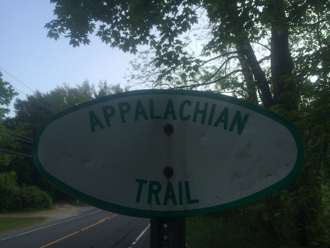
Appalachian Trail
Route 41 to Rand’s View (Salisbury, CT)
Hike Distance: 8.6 Miles
Section Distance (Per CFPA Walk Book): 4 Miles
Date Hiked: 5/17/2015
Date Published: 5/17/2015
Hike #135
Appalachian Trail
Route 41 to Rand’s View (Salisbury, CT)
Hike Distance: 8.6 Miles
Section Distance (Per CFPA Walk Book): 4 Miles
Date Hiked: 5/17/2015
Date Published: 5/17/2015
Note: Six days before the hike
described in this recap, I made my way over to the Case Mountain trails in Manchester,
Connecticut. While there, I re-hiked
some of the trails which I’ve previously recapped (Hikes # 7, 8 and 9). I’m not going to recap those trails again here. However, that hike added 8.3 miles to my
total for 2015, bringing my mile count to 234.4.
I never intended to type a sequel to my Sleeping Giant recaps. But, when I saw a rock outcrop named “Giant’s Thumb” on the Walk Book map and read about a very steep climb in the trail description for this section of the AT, I knew what needed to be done.
On my previous AT hike (“Winter Is Coming”…Hike # 114), Roscoe and I made our way from Route 112 in Salisbury to Rand’s View, a panoramic view over a cow pasture. At the time, the snow (already accumulating at the “higher” elevations in this corner of the state) forced me to put the AT on hold for a bit. Now, with the snow gone and the bugs/poisonous plants overtaking central CT, I thought it would be good to start the AT again. My hope is that I can complete the remaining three sections of the AT in CT before it gets too hot. For this hike, I parked off of Route 41…to the north of Rand’s View…and made my way back to that point by heading southbound on the trail.
To reach the parking location from Hartford:
Follow Route 44 West through Avon, Canton, Winchester, and Norfolk. Approximately 7 miles after crossing over Route 7 in North Canaan, turn right on Route 41. The parking area is on the left in about 0.8 mile.
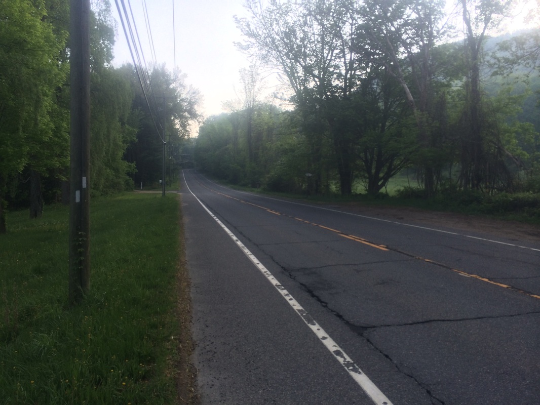
From the parking location, I set out heading due east. It wasn’t long before I reached Route 41 and turned right to follow the road south…
I never intended to type a sequel to my Sleeping Giant recaps. But, when I saw a rock outcrop named “Giant’s Thumb” on the Walk Book map and read about a very steep climb in the trail description for this section of the AT, I knew what needed to be done.
On my previous AT hike (“Winter Is Coming”…Hike # 114), Roscoe and I made our way from Route 112 in Salisbury to Rand’s View, a panoramic view over a cow pasture. At the time, the snow (already accumulating at the “higher” elevations in this corner of the state) forced me to put the AT on hold for a bit. Now, with the snow gone and the bugs/poisonous plants overtaking central CT, I thought it would be good to start the AT again. My hope is that I can complete the remaining three sections of the AT in CT before it gets too hot. For this hike, I parked off of Route 41…to the north of Rand’s View…and made my way back to that point by heading southbound on the trail.
To reach the parking location from Hartford:
Follow Route 44 West through Avon, Canton, Winchester, and Norfolk. Approximately 7 miles after crossing over Route 7 in North Canaan, turn right on Route 41. The parking area is on the left in about 0.8 mile.
From the parking location, I set out heading due east. It wasn’t long before I reached Route 41 and turned right to follow the road south…
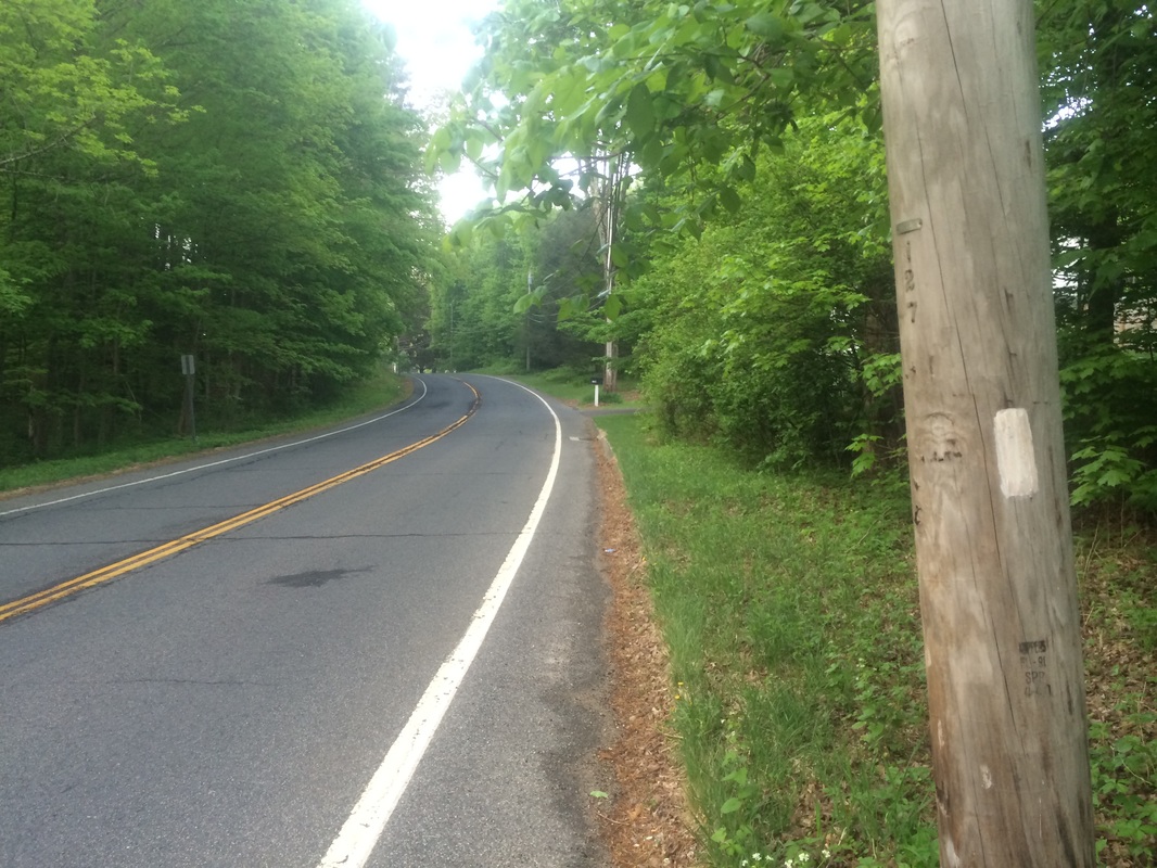
The
trail doesn’t follow Route 41 for long.
I quickly turned left and entered the woods on the east side of the road.
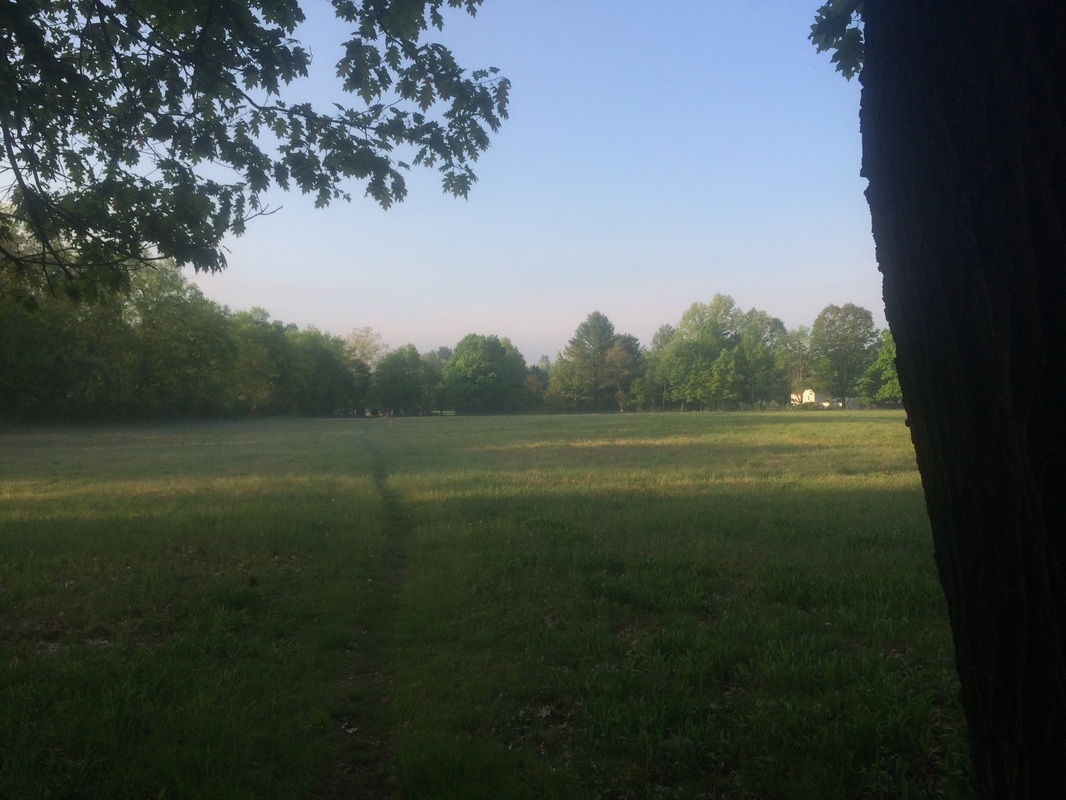
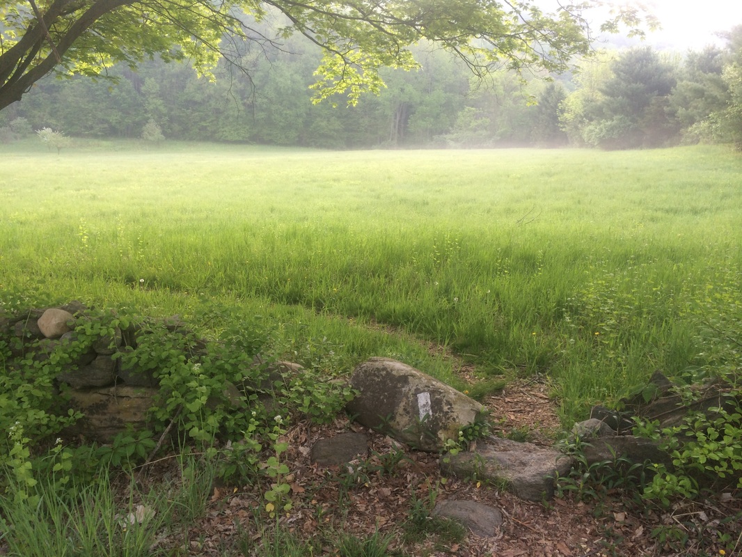
Roughly 4/10 of a mile in, after hiking on the edge of a small field, I reached and cut through the center of this large field…
Roughly 4/10 of a mile in, after hiking on the edge of a small field, I reached and cut through the center of this large field…
Approximately
1/2 of a mile in, I reached the end of the field and turned left on Cobble Road
near this cemetery…

Roughly
7/10 of a mile in, I made another left to continue my road walk on Route 44…
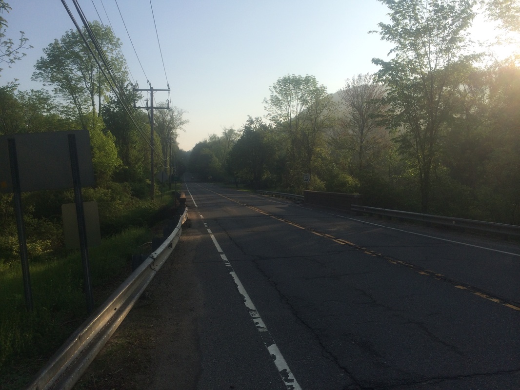
Thankfully,
the road walk comes to an end shortly after making the turn on Route 44. The trail quickly crosses the busy state road
and enters another field on the other side…
|
|
Here
the trail continues to parallel the road, but the field is a much safer
alternative to the potential dangers of walking on a busy state route.
Everything up to this point was easy, especially by AT standards. But, that was about to change.
After leaving the field, the trail climbs almost 500 feet in less than half of a mile (a category 4 climb…according to my MapMyHike app). It follows a series of switchbacks which make the climb slightly less difficult, but I found myself stopping a couple of times to catch my breath. The trail maintainers do a good job of making this section fun…
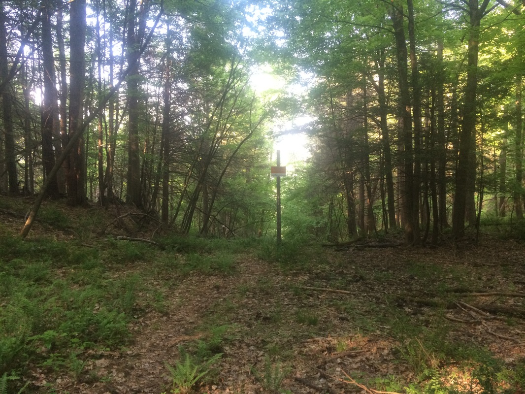
After
completing the climb, the trail flattens out and there isn’t a lot to see but I
still found this section enjoyable.
Approximately 2.7 miles in, I crossed a utility right-of-way…
Approximately 2.7 miles in, I crossed a utility right-of-way…
Roughly
3.4 miles in, after crossing a couple of brooks, I reached Billy’s View…
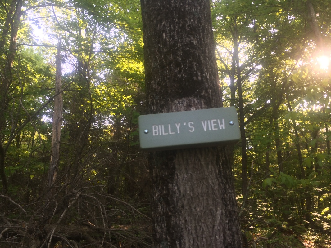
This
overlook allows for some partially obscured views to the south. In a way, I regret I didn’t make my way to
this point back in November. I’m sure
the view is much better when the trees are barren.
From the overlook, the trail swings back to the north and west for a stretch.
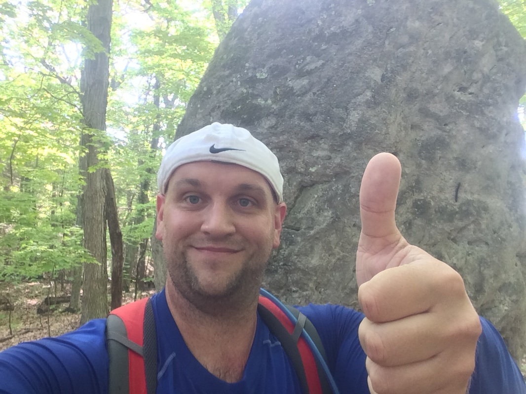
Approximately 3.9 miles in, after passing a couple on their way northbound, I came to what I originally thought would be the highlight of this hike. Sadly, the “Giant’s Thumb” turned out to be not much bigger than my own…
From the overlook, the trail swings back to the north and west for a stretch.
Approximately 3.9 miles in, after passing a couple on their way northbound, I came to what I originally thought would be the highlight of this hike. Sadly, the “Giant’s Thumb” turned out to be not much bigger than my own…
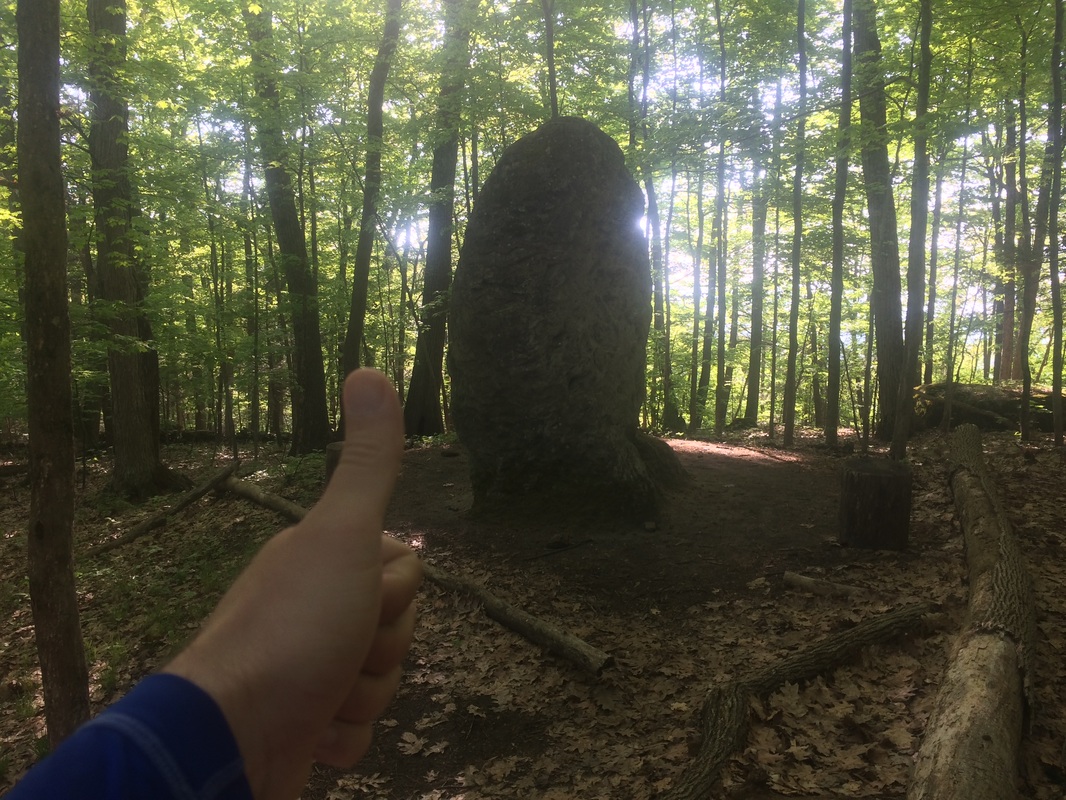
Just
kidding. In all seriousness, this thing
is taller than me by at least a couple of feet…
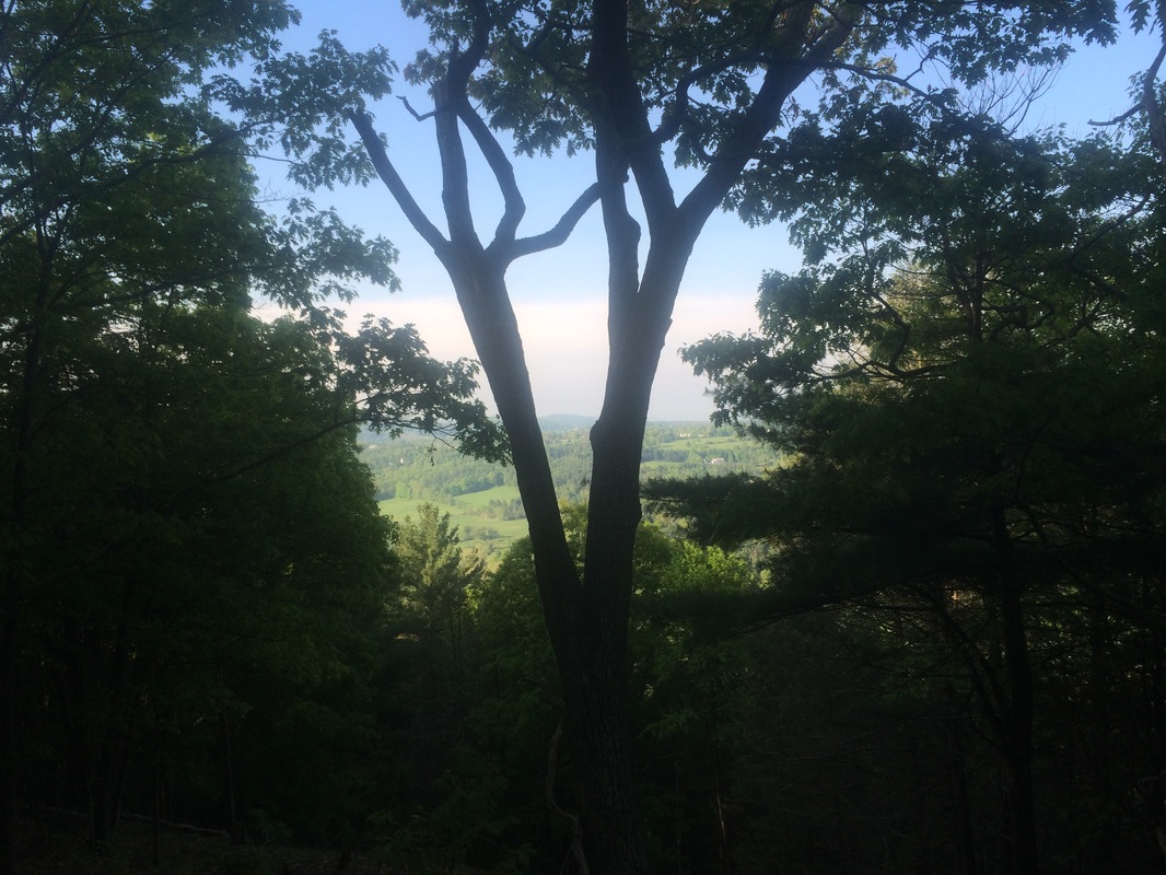
Roughly
4.3 miles in, I reached Rand’s View…
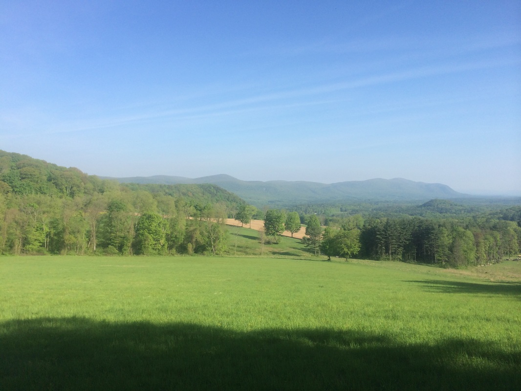
I
recall enjoying this view in November, but I don’t remember it being quite this
good. The green grass and the promise of
the summer sun is certainly an improvement over the snow and the threat of
winter.
After a few moments, I turned and started making my way back to the car.
This was a great hike. The weather was good and the bugs weren’t too bad. Sadly, I only have two hikes left on the CT section of the AT. What will I do when I’m done?
Until next time…
After a few moments, I turned and started making my way back to the car.
This was a great hike. The weather was good and the bugs weren’t too bad. Sadly, I only have two hikes left on the CT section of the AT. What will I do when I’m done?
Until next time…
For a map of this hike, along with elevation data, please click here.
Total 2015 Distance: 243
(257 to Goal)
