Grin and Bear It
Hike # 90
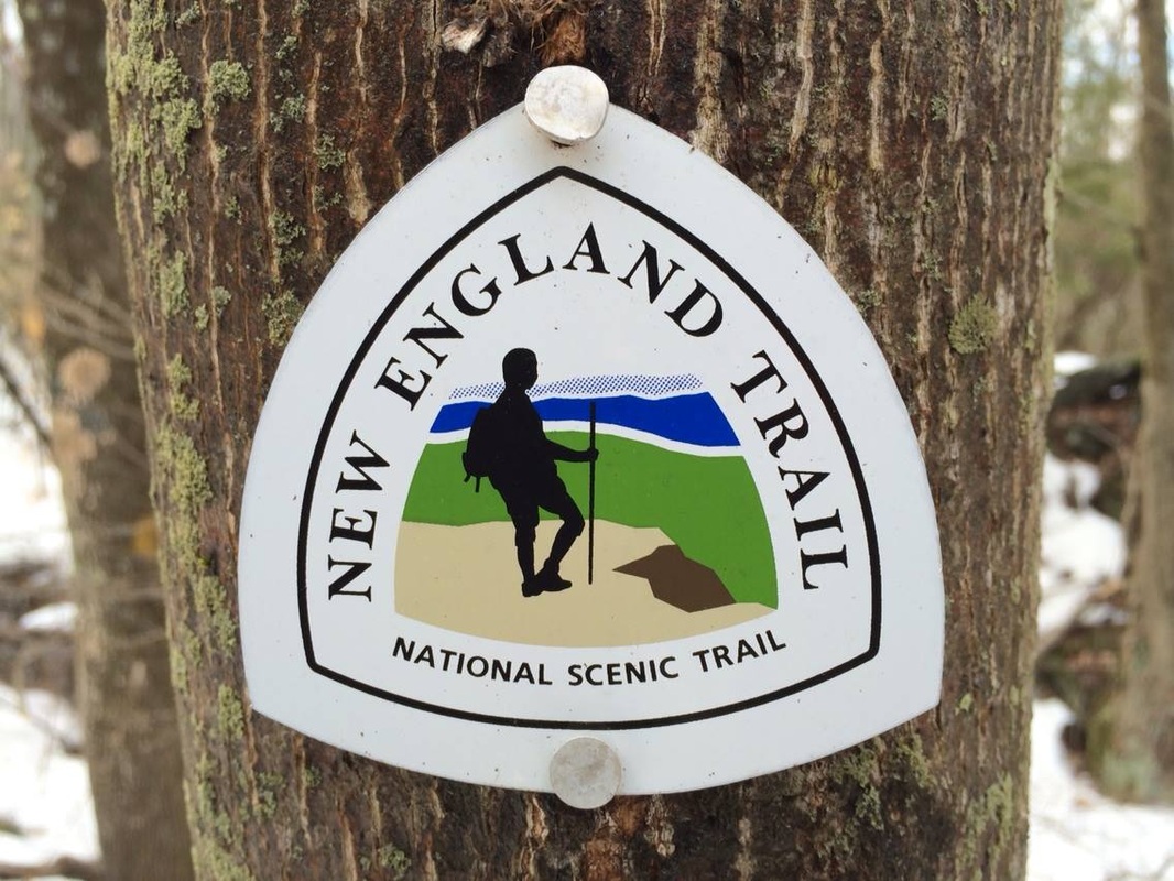
Mattabesett Trail
Millers Pond State Park (Haddam, CT) to Old Blue Hills Road (Durham, CT)
Section Distance (Per CFPA Walk Book): 5.3 Miles
Hike Distance: 6.23 Miles
Date Hiked: 3/15/2014
Date Published: 4/3/2014
Hike # 90
Mattabesett Trail
Millers Pond State Park (Haddam, CT) to Old Blue Hills Road (Durham, CT)
Section Distance (Per CFPA Walk Book): 5.3 Miles
Hike Distance: 6.23 Miles
Date Hiked: 3/15/2014
Date Published: 4/3/2014
In the weeks leading up to this hike, I kept myself busy in spite of the fact that the northeast was getting pounded with snowstorm after snowstorm. I even invested in a pair of snowshoes and did some snowshoeing around Gay City State Park. So, even though I wasn't blogging, I completed 18.13 miles worth of hikes. The reason I didn't blog about these adventures is because they were done within Gay City State Park and the area around Case Mountain...and I've covered both parks a number of times already.
I was eager for some hiking I could blog about, so I reached out to my friend Mark and we decided to continue our journey along the Mattabesett Trail. We had last left off at Millers Pond State Park on the Haddam/Durham town line. We would start this hike in the Millers Pond State Park parking lot, but we first had to find suitable parking at the end of the hike. I had done some research ahead of time...back when there was still roughly two feet of snow on the ground...and I found a nice cul-de-sac at the end of Old Blue Hills Road. We would end up dropping my vehicle at the cul-de-sac, roughly a mile or so from the trailhead and making our way over to Millers Pond State Park in Mark's car. Note: if there isn't two feet of snow on the ground, you can spot a car right at the trailhead off of Old Blue Hills Road...just make sure to park on the grass and not the road, as the signs in the area indicate you should.
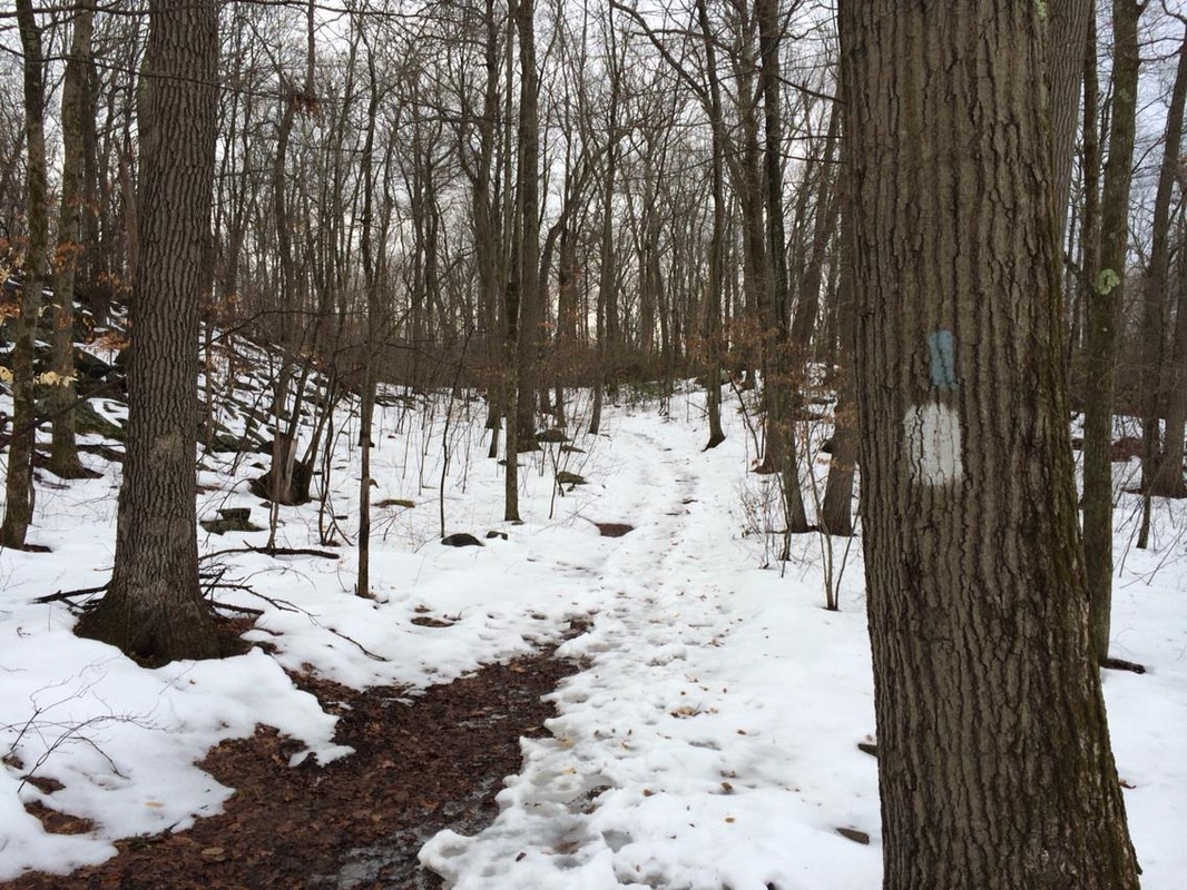
From the Miller Pond State Park lot, Mark and I started our journey due south and followed the white blazes of the Miller Pond State Park Trail. We had previously covered the .3 miles of this trail as we finished up our last hike on the Mattabesett. Eventually, the familiar blue blazes made their way in from our left...and we continued to follow them due south.
I was eager for some hiking I could blog about, so I reached out to my friend Mark and we decided to continue our journey along the Mattabesett Trail. We had last left off at Millers Pond State Park on the Haddam/Durham town line. We would start this hike in the Millers Pond State Park parking lot, but we first had to find suitable parking at the end of the hike. I had done some research ahead of time...back when there was still roughly two feet of snow on the ground...and I found a nice cul-de-sac at the end of Old Blue Hills Road. We would end up dropping my vehicle at the cul-de-sac, roughly a mile or so from the trailhead and making our way over to Millers Pond State Park in Mark's car. Note: if there isn't two feet of snow on the ground, you can spot a car right at the trailhead off of Old Blue Hills Road...just make sure to park on the grass and not the road, as the signs in the area indicate you should.
From the Miller Pond State Park lot, Mark and I started our journey due south and followed the white blazes of the Miller Pond State Park Trail. We had previously covered the .3 miles of this trail as we finished up our last hike on the Mattabesett. Eventually, the familiar blue blazes made their way in from our left...and we continued to follow them due south.
For roughly the first mile (9/10 of a mile to be exact), the trail follows the eastern shore of Millers Pond. For the most part, the trail stays at a distance from the pond, but there are a few sections where the trail runs right along the edge. At 9/10 of a mile, the trail comes to a large earthen dam (Millers Pond Dam) which was originally built in 1704. Dam, that's old! Puns aside, there is a great view of the pond here...and we stopped to enjoy the view before turning away from the pond and starting our first climb of the day.
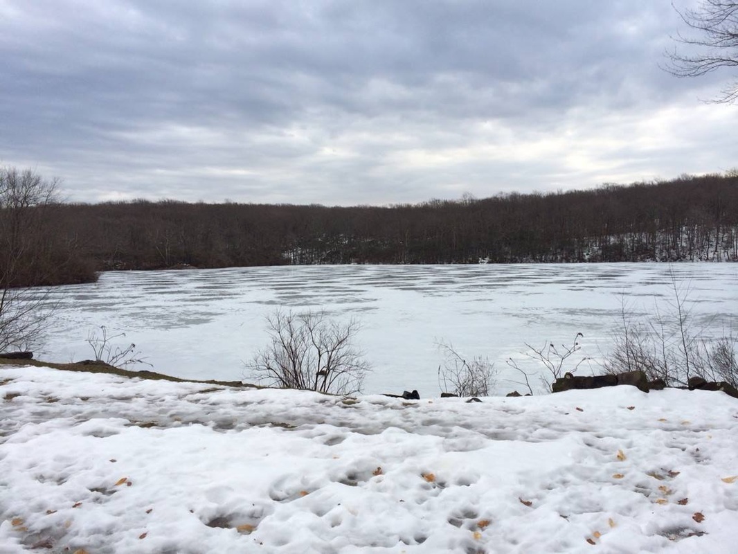
At around 2.2 miles, a bypass trail comes in from the left. In just a few moments, the main Mattabesett comes to a rock formation known as Bear Rock. And, supposedly, the trail can be dangerous enough during icy conditions that someone felt the need to put in this bypass trail. I must admit the descent from Bear Rock was pretty technical. The picture of the pond (above) makes it appear as if we were hiking in really icy conditions. But, surprisingly, the higher elevations were mostly clear of snow...which you will see in the pictures below. Still, the descent was challenging. So, I guess I can see why the bypass trail is necessary. Fortunately, we didn't have a need to use it and were able to stick to the main Mattabesett. After enjoying the view of what I believe is Powder Ridge (first picture), we made our way down (Mark is standing about half way down in the second picture).
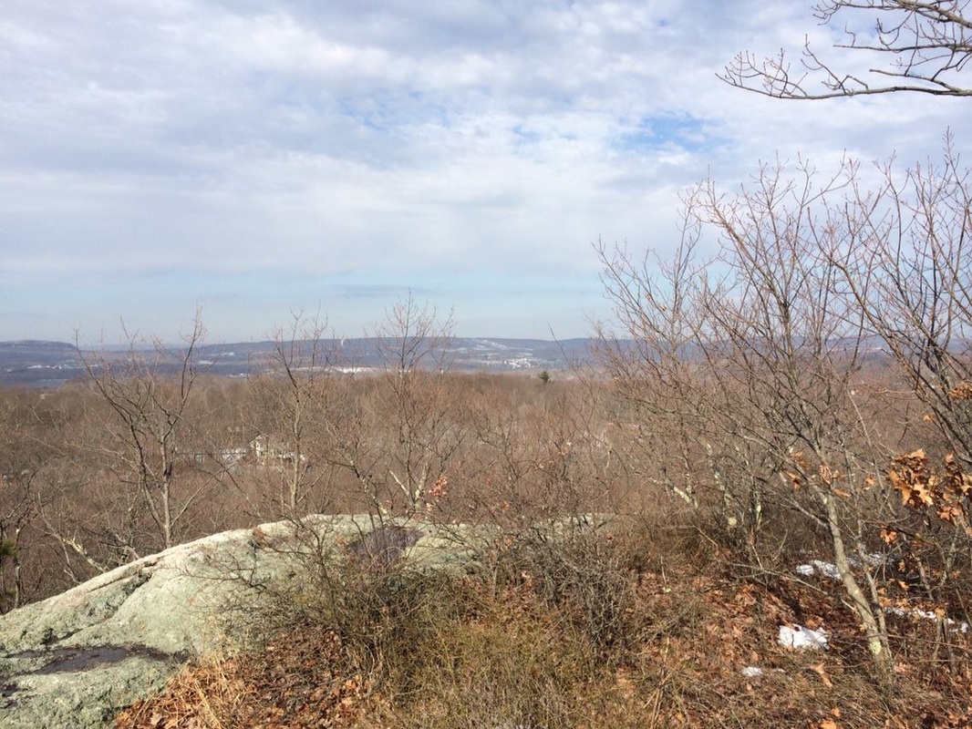
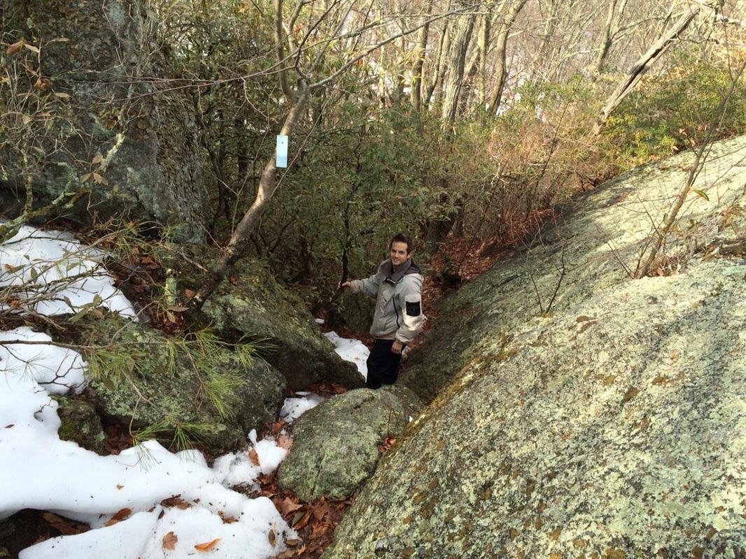
From where Mark and I were standing in the picture above, I found out why this rock formation is called Bear Rock. To the left of the picture (Mark's right) the rock formation can be seen. I think it looks like the face of a bear, but maybe that's just me. Judge for yourself below...
At around 2.5 miles, the trail supposedly crosses a gravel road (Harvey Road) but the snow must've been deep there because I don't recall seeing anything which resembled a gravel road. We did, however, eventually reach Higganum Road...at around 3.1 miles. We crossed the road and continued our journey due south.
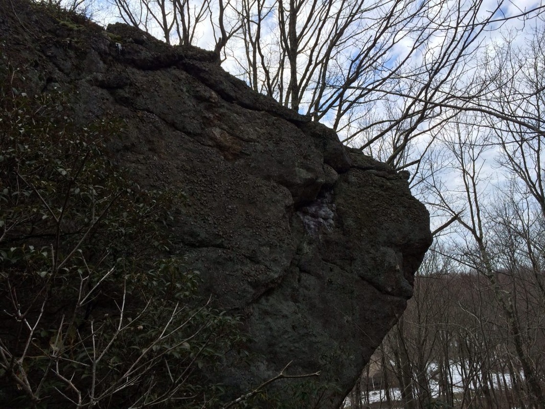
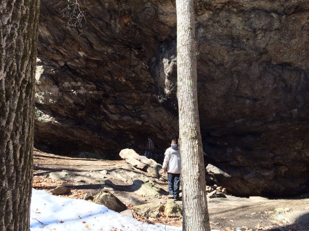
At around 4.7 miles, we came to the final highlight of the day...a good one. Here, the trail passes right by Coginchaug Cave. As with all Connecticut "caves" this is really nothing more than a large rock which overhangs the area below. There aren't really any tunnels to do any actually exploring. Still, these things are pretty cool. You can sort of make out the cave in the background of the first picture below. But, the second shot shows it in more detail.
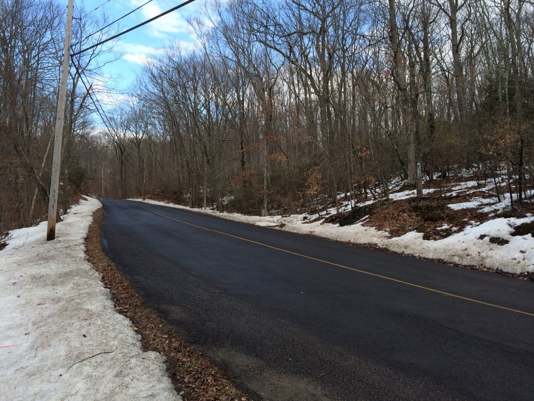
At around 5.3 miles, we reached Old Blue Hills Road and the end of this section. From there, we still had to make the road walk back to my car...but we did that quickly enough and rounded out our day.
For a map of this hike, along with elevation data, please click here.
Total 2014 Miles: 116.95 (Includes 18.13 miles mentioned at the start of this recap)
