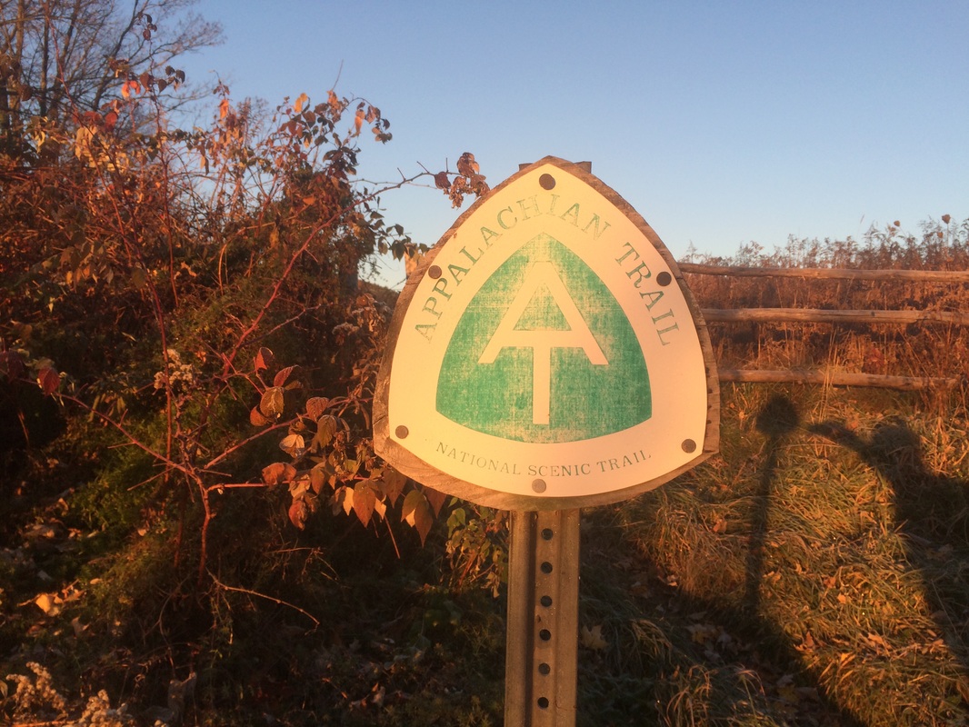
Hike # 142
Appalachian Trail
Jug End Road (Egremont, MA) to Housatonic River (Sheffield, MA)
Direction of Travel: Northbound
Hike Distance: 11.6 Miles
Date Hiked: 10/31/2015
Date Published: 10/31/2015
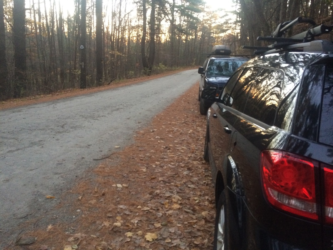
On my previous Appalachian Trail hike (Hike #141), I made my way southbound from Jug End Road over Mount Everett before returning to my car. Along the way, I injured my left knee and spent the rest of the week resting to ensure I would be able to hike this section. My pre-hike research led me to believe this section would be relatively flat. And, while not quite 100%, my knee was feeling better. So, I packed up my gear and made my way out to Jug End Road and the next section of the AT.
Follow Route 44 West to Route 7 North and enter Massachusetts. Turn left on Berkshire School Road then right on Route 41. Pass Berkshire School and turn left on Guilder Hollow Road. Guilder Hollow Road becomes Jug End Road. The parking location is on the left approximately 1.5 miles from the turn off of Route 41.
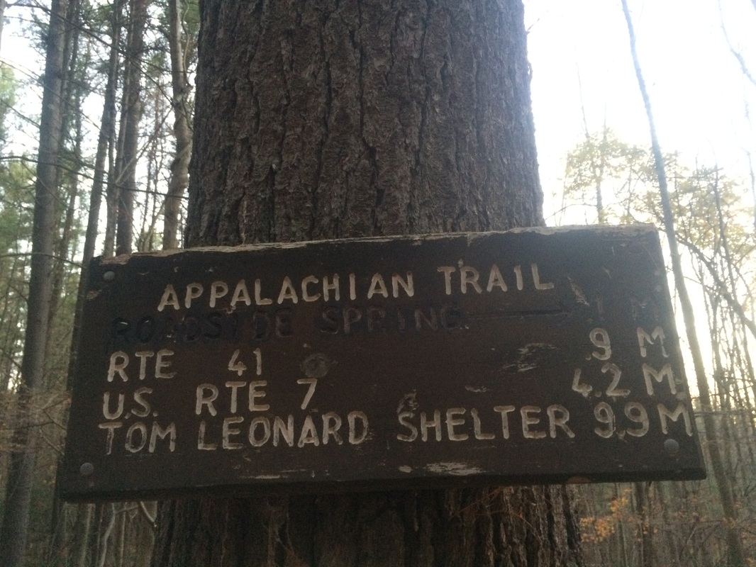
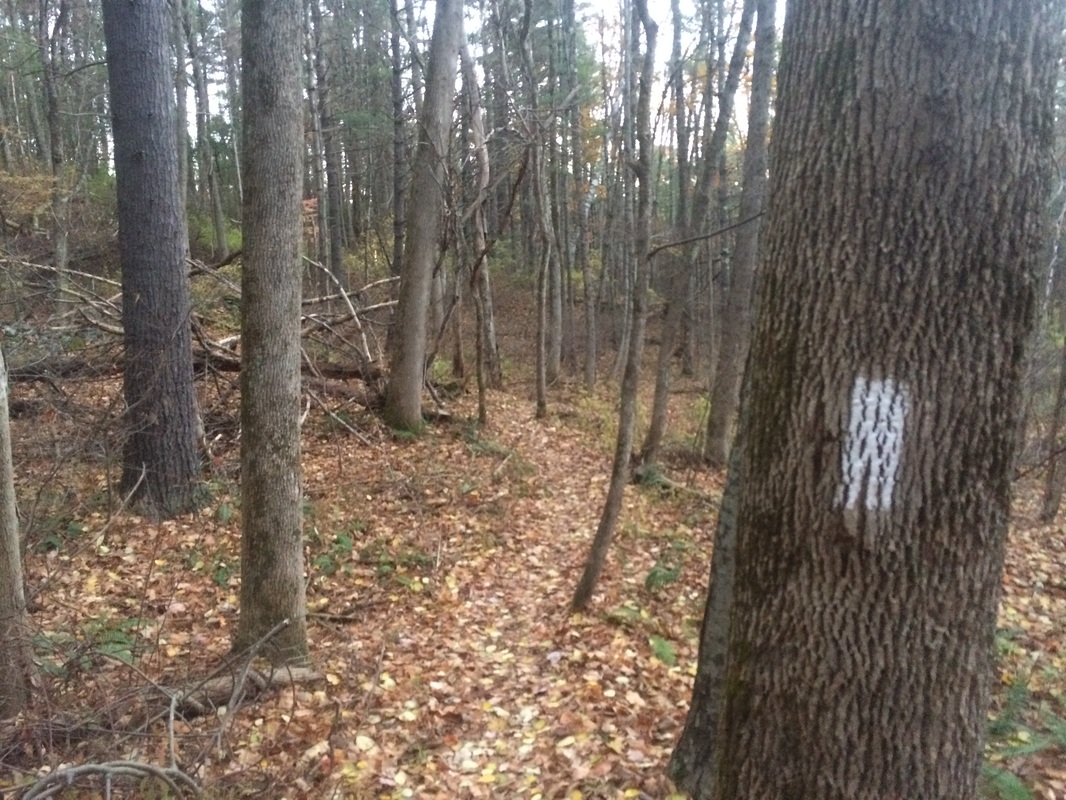
I geared up and hit the trail, following white blazes due east even though I was technically heading “northbound” on the trail…
Approximately 9/10 of a mile in, I crossed Route 41…
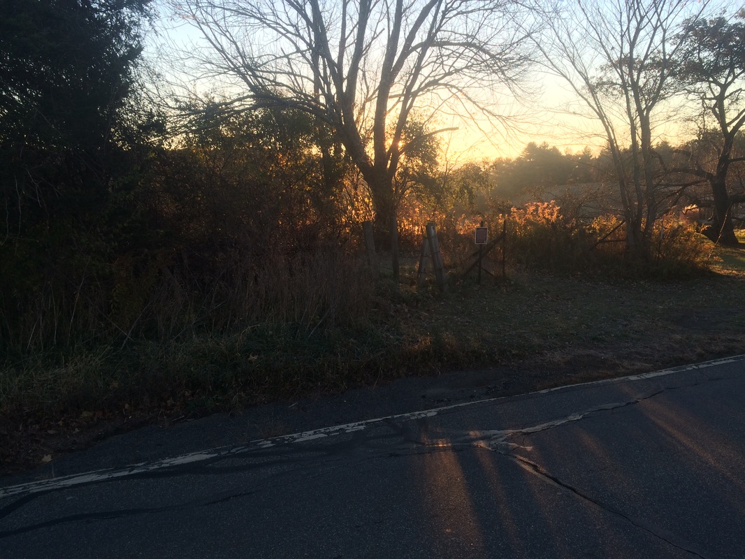
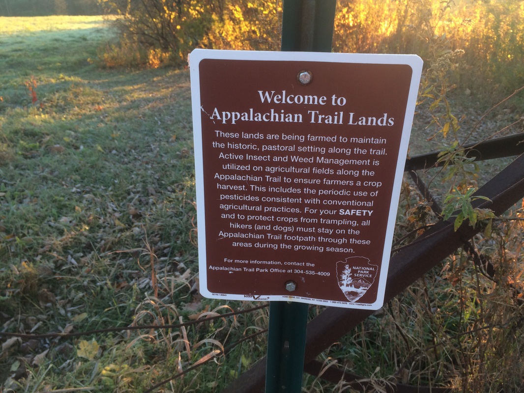
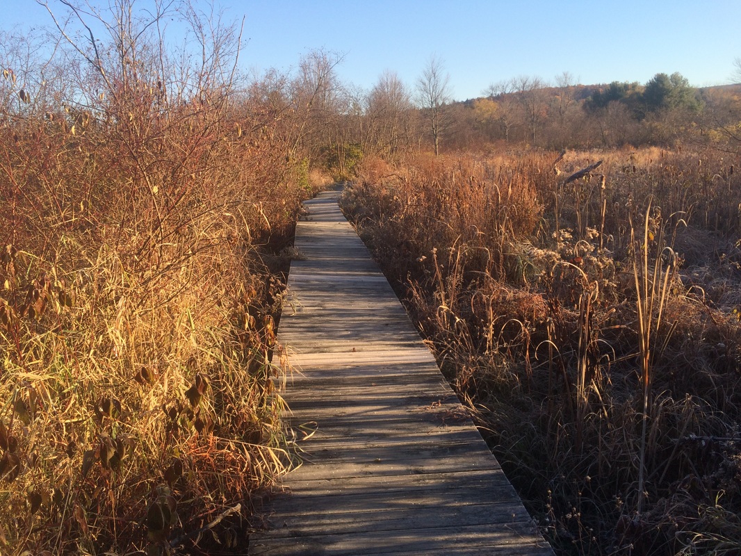
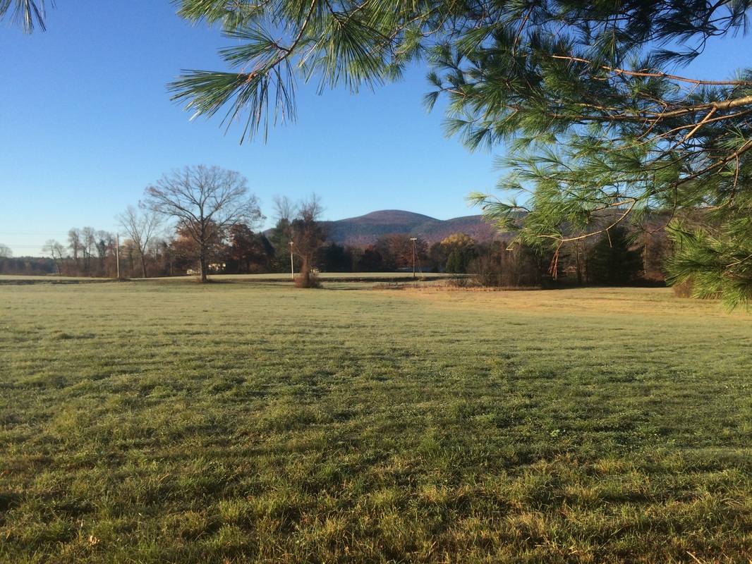
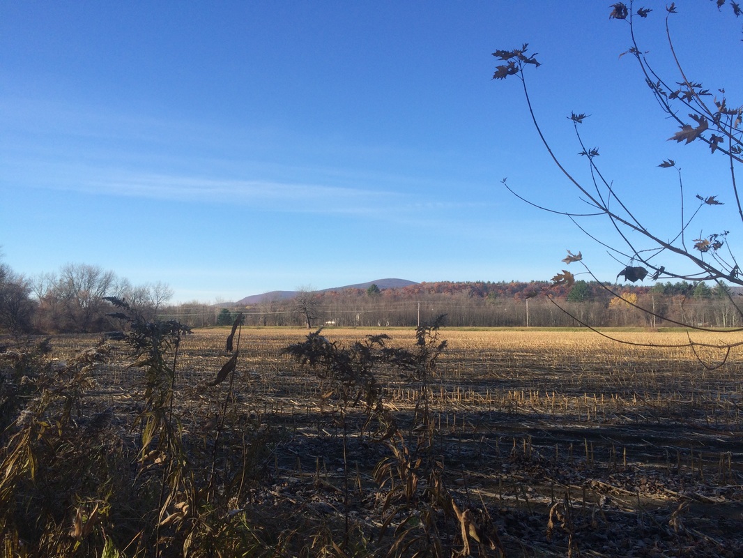
On the other side of the road, I found myself walking along the edge of a field near a farm. This would become a theme for the rest of the hike…
Approximately 2.9 miles in, I crossed South Egremont Road and stopped at Shay’s Rebellion Monument for a minute…
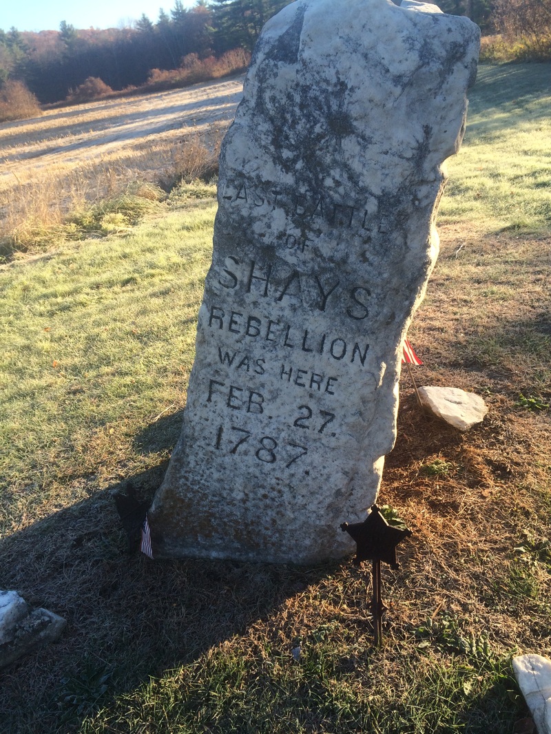
Those of you who are history buffs might be familiar with the post-Revolutionary War actions of Daniel Shays and the rest of the farming community of western Massachusetts. But, for those of you who aren’t, the short version is that more than 4000 rebels staged an armed uprising against the government in protest of the economic injustices brought on by the enforcement of tax collections. I found the topic interesting and shot a two minute video next to the monument, explaining how sites like these are important to the AT.
Roughly 4.1 miles in, I crossed West Street. On the other side, I entered a wooded section.
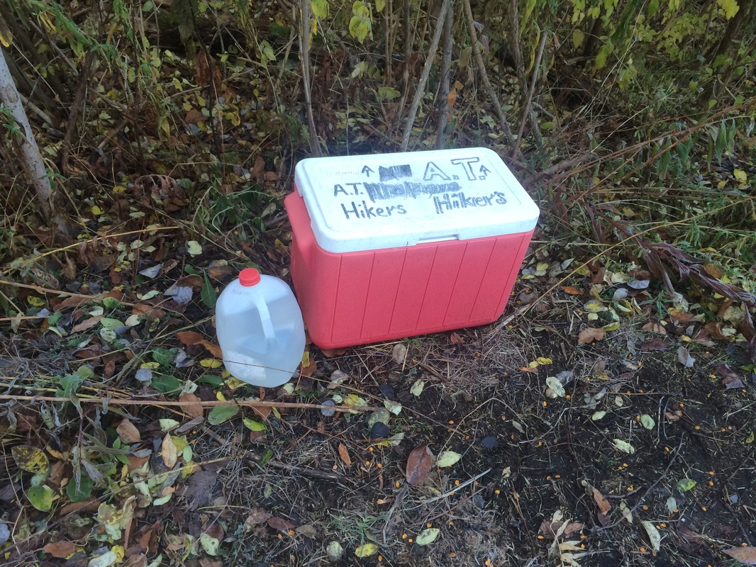
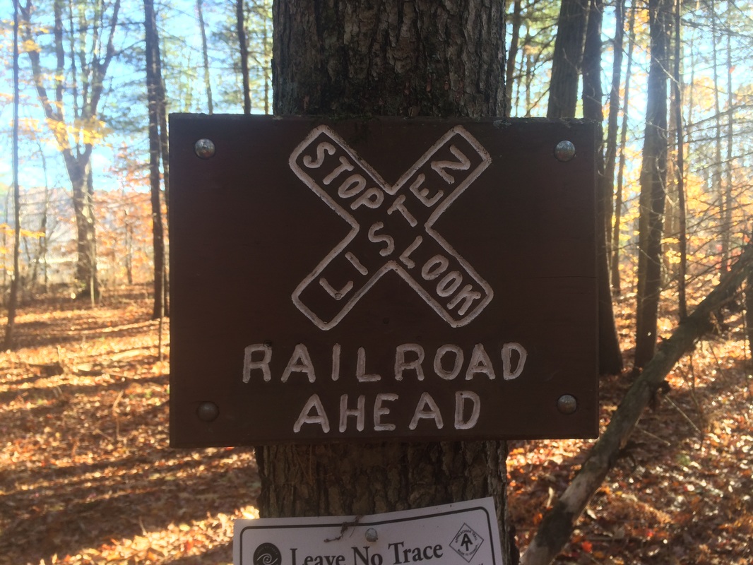
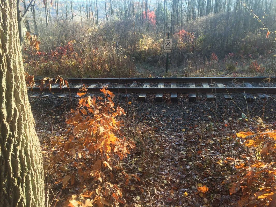
A while later, as I was approaching Route 7, I came to a railroad crossing…
|
|
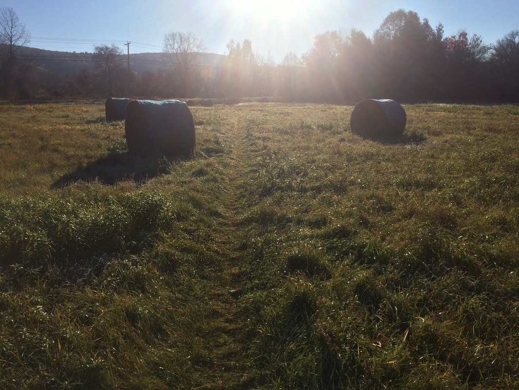
Approximately 4.9 miles in, as I got closer to Route 7, the trail cut through the middle of a hayfield…
Roughly 5.1 miles in, the trail turns south for the final time in this section and runs parallel to the river for a stretch. To my right, I was treated to one last view of Mount Everett…
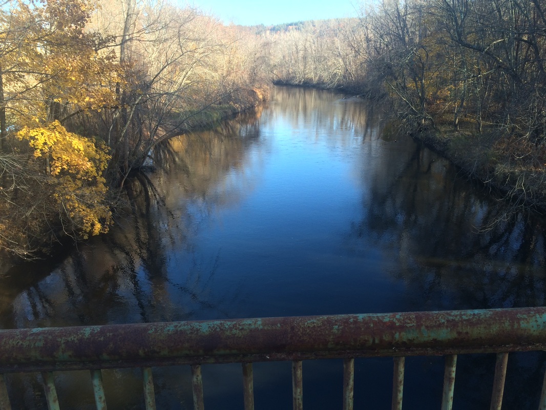
I’m happy to report my knee held up pretty well. It was probably around 95% at the start of the hike and, thanks to the lack of elevation changes, I found that it didn’t hold me back much. I’m still not overly confident I’ll be able to hit my 500 mile goal, but we’ll see. The next hike will take me Southbound from Route 23 over East Mountain and, if all goes according to plan, I’ll turn around at the same bridge. This will allow me to connect another section of trail to what I’ve already completed.
Until next time…
For a map of my outbound trip and an elevation graph, please click here.
