Hard Time
Tunxis Trail (Burlington Region, Part 4)
Hike # 99
Hike Distance: 8.60 Miles
Date Hiked: 4/20/2014
Date Published: 4/27/2014
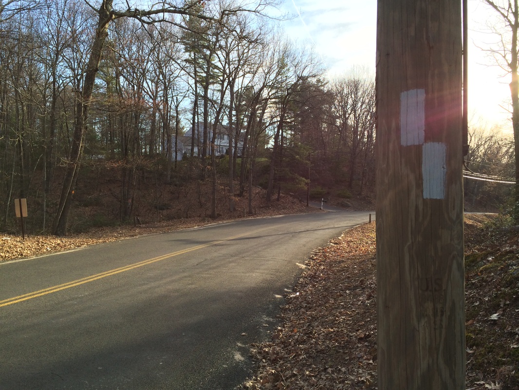
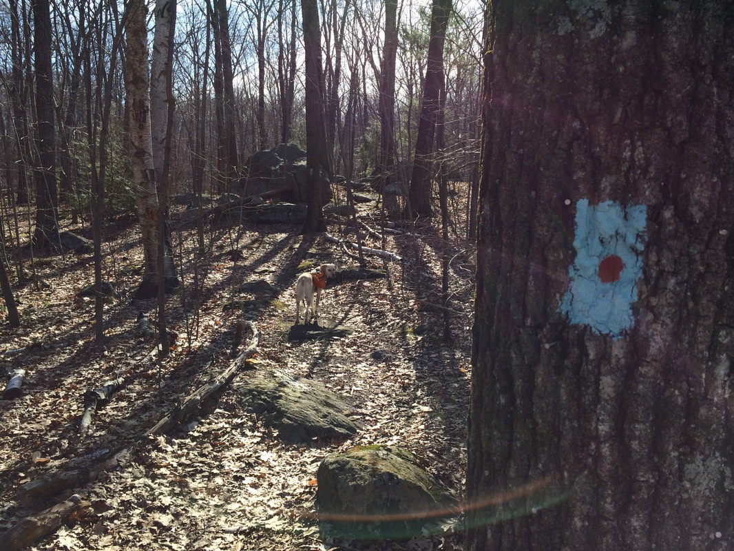
Easter Sunday 2014. Roscoe and I were up early, setting out to continue our journey along the Tunxis. We made the drive over to Stone Road and I parked right where the mainline and the Red Dot South Trail converge. The day before, as I was making my way along the mainline from Sessions Woods, I discovered this parking location. My original plan for today was to park off of Route 4 (roughly 2.6 miles to the north) and make my way to this point. Now, I was able to start exactly where I left off the day before...and that made me happy.
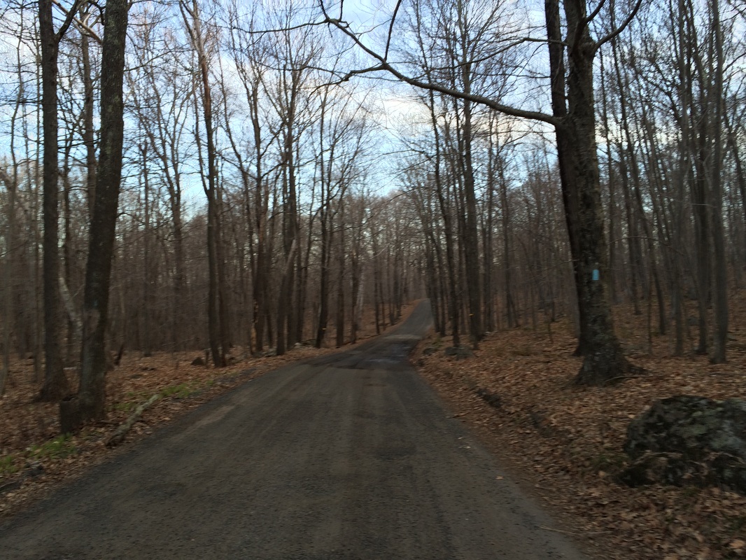
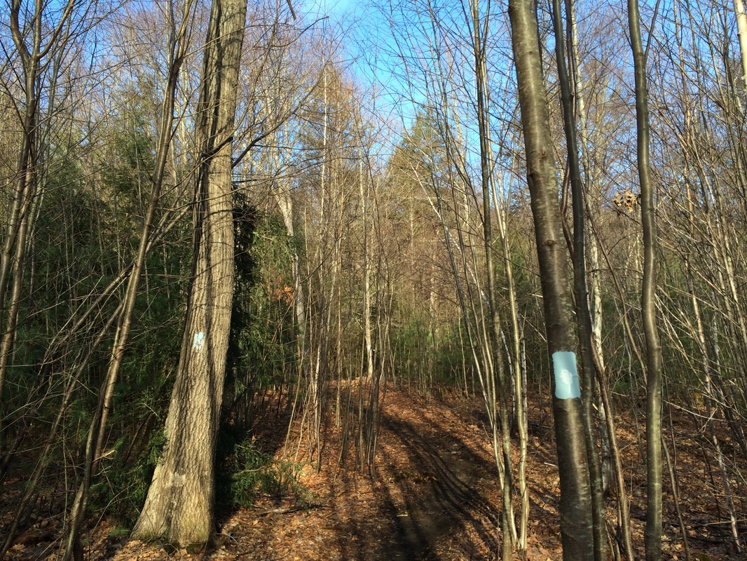
We started the day by following the mainline Tunxis, which heads north from the parking location and follows Stone Road for roughly 2/10 of a mile...
Tunxis Trail (Burlington Region, Part 4)
Hike # 99
Hike Distance: 8.60 Miles
Date Hiked: 4/20/2014
Date Published: 4/27/2014
Easter Sunday 2014. Roscoe and I were up early, setting out to continue our journey along the Tunxis. We made the drive over to Stone Road and I parked right where the mainline and the Red Dot South Trail converge. The day before, as I was making my way along the mainline from Sessions Woods, I discovered this parking location. My original plan for today was to park off of Route 4 (roughly 2.6 miles to the north) and make my way to this point. Now, I was able to start exactly where I left off the day before...and that made me happy.
We started the day by following the mainline Tunxis, which heads north from the parking location and follows Stone Road for roughly 2/10 of a mile...
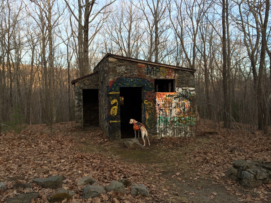
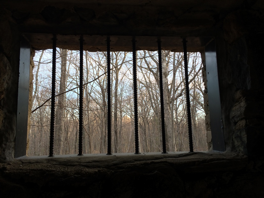
As it follows Stone Road, the Tunxis passes an interesting foundation. Back in 1934, the federal government built a camp here for elderly itinerant men. This "jail" is the only remaining structure...
|
|
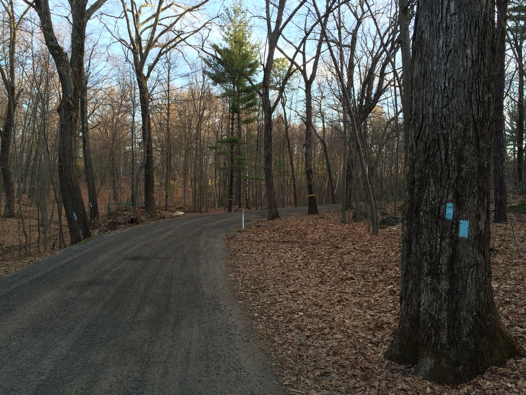
After we inspected the "jail", we set out north again, following Stone Road to the point where the trail turns away from the road...
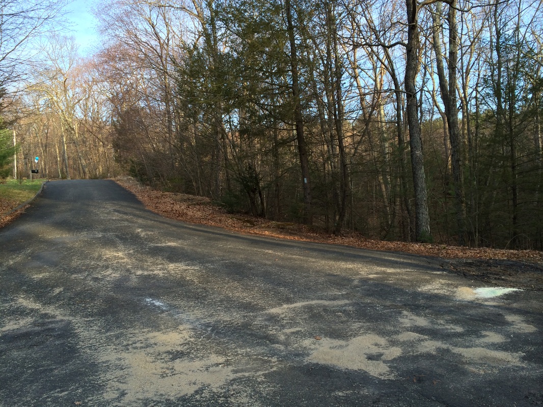
Approximately 7/10 of a mile in, we reached the cul-de-sac you see in the photo below. The trail follows pavement for a moment, then reenters the woods on the other side...
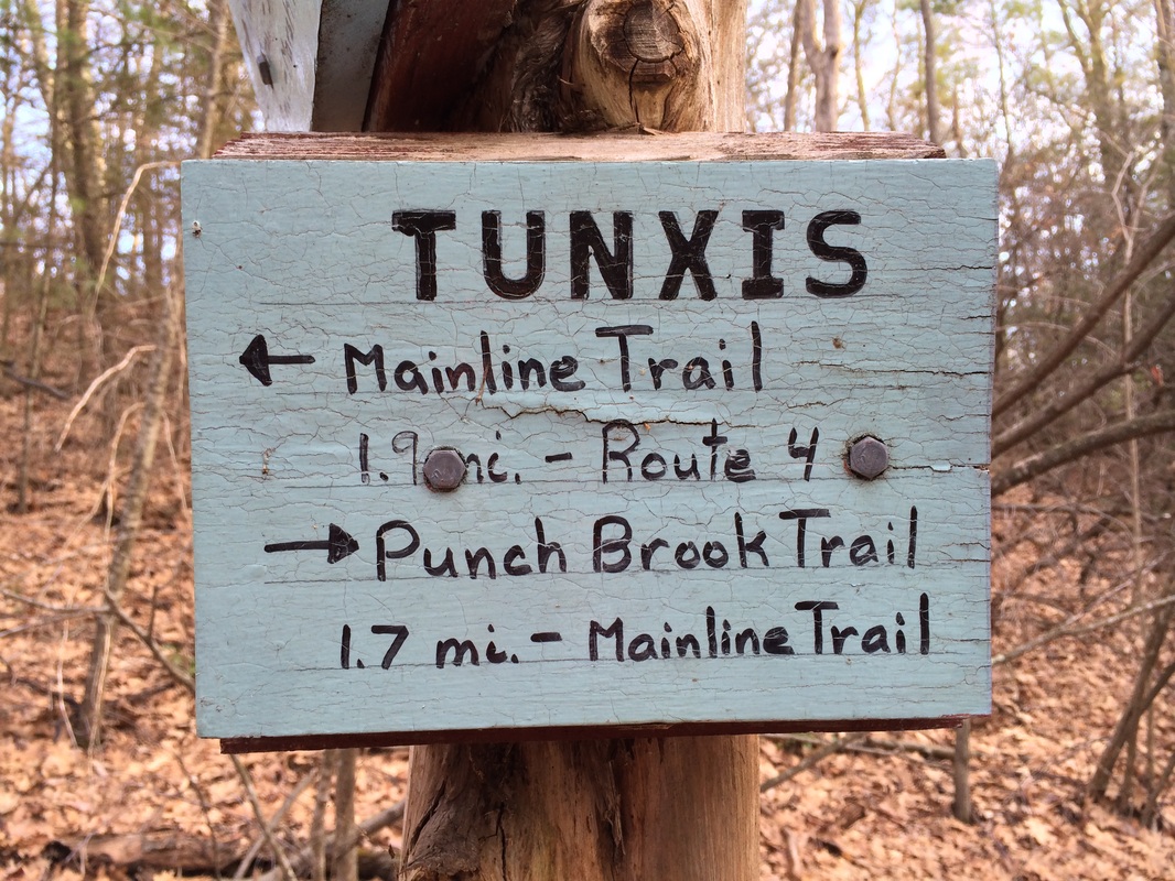
After heading downhill for a moment, we reached a trail junction. Here, the blue/purple-blazed Punch Brook Trail heads right (northeast) before turning northwest to join back up with the mainline in 1.7 miles...
|
|
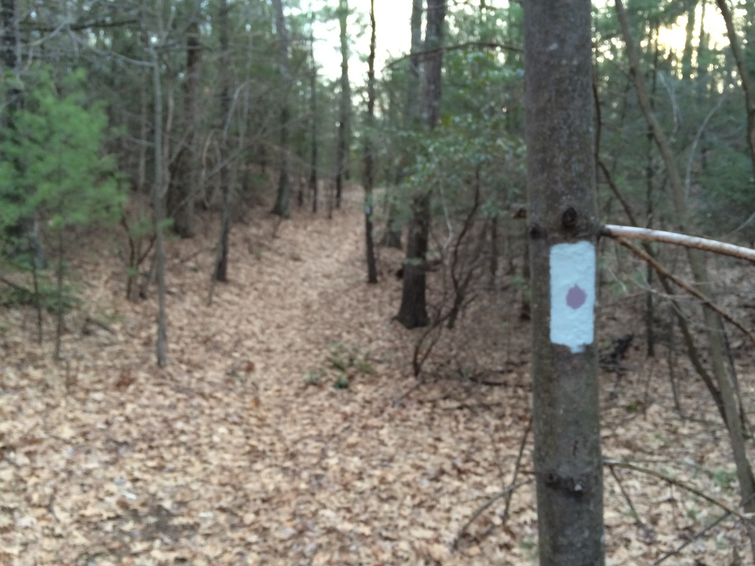
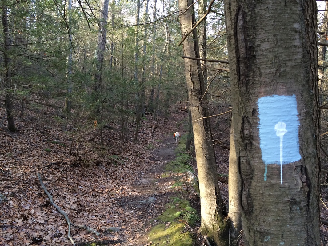
The Punch Brook Trail was not in my plan for the day. So we made a left and continued to follow the mainline Tunxis, which soon had us climbing uphill...
Roughly 1.1 miles from the start, we came to Punch Brook Road, followed it due east for a bit, then reentered the woods on the other side...
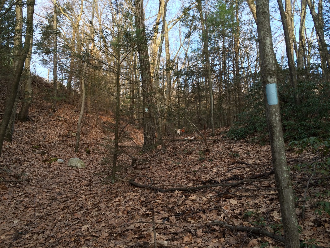
About a mile later, we reached the north junction of the Punch Brook Trail...which came in from our right...
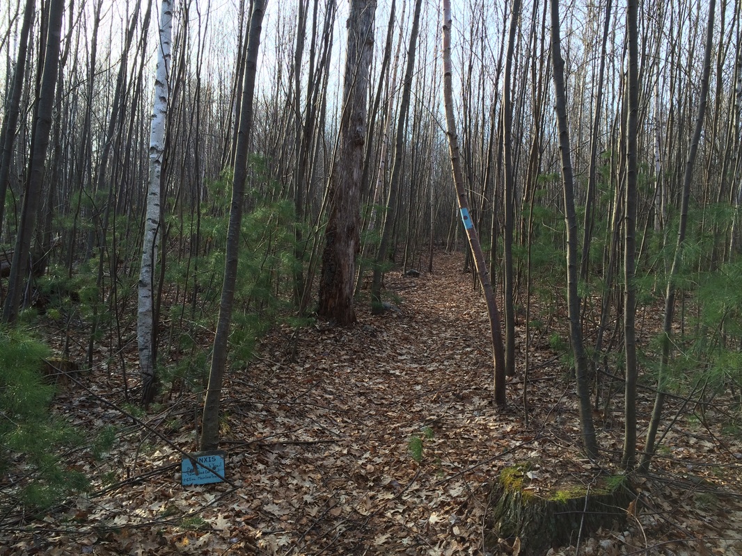
Approximately 2/10 of a mile after that, we passed the north junction of the White Dot Trail and started bordering on State Fish Hatchery land...
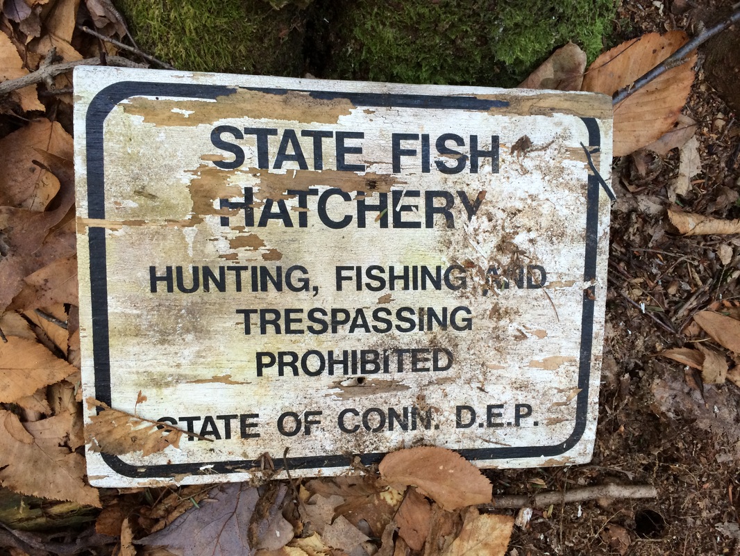
This fish hatchery, as I noted in my previous recap, is one of three in the state. Here, the state produces 80,000 to 90,000 pounds of 9 to 12 inch brown and rainbow trout...and 45,000 6 to 8 inch brook trout. Established in 1923, the hatchery is open to the public from 8:00 A.M. to 3:30 P.M., seven days a week, for self-guided tours. Individuals and groups are welcome to visit, unannounced, to observe the trout in various stages of growth and learn what goes in to raising them.
Roughly 3/10 of a mile after we passed the White Dot Trail (2.6 miles since we started our day), we came to the end of the line at Route 4. Here, there is another break in the mainline Tunxis (it starts back up again about two miles to the northwest, off of Hotchkiss Road). We turned around and retraced our steps back to the junction with the White Dot Trail...
Roughly 3/10 of a mile after we passed the White Dot Trail (2.6 miles since we started our day), we came to the end of the line at Route 4. Here, there is another break in the mainline Tunxis (it starts back up again about two miles to the northwest, off of Hotchkiss Road). We turned around and retraced our steps back to the junction with the White Dot Trail...
Those of you who've read through my recap for Hike #93 (titled "Turn") are, at least, somewhat familiar with the White Dot Trail. On that day, I spent a good amount of time looking for, finding, and wondering if I had found the correct trail. On that day, back in March, I turned left to follow the White Dot Trail due west. If I had made a right on that day, and followed the trail due east, I would've ended up at this exact spot...after 4.2 miles of hiking (note: the White Dot Trail is the longest of the trails, other than the mainline Tunxis).
|
|
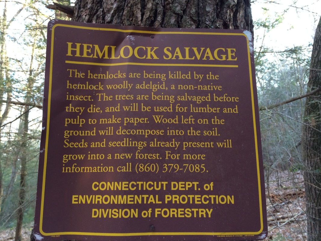
We followed the White Dot Trail due west for about a mile before we came to George Washington Turnpike. Along the way, we ascended a pretty solid incline and passed several informational signs about "hemlock salvage"...
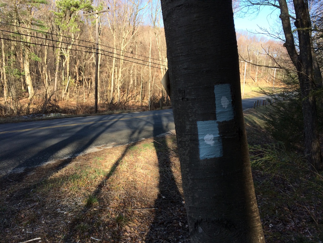
Approximately 3.9 miles from the start of our hike, we came to George Washington Turnpike. We followed the road for a bit, then crossed it, and reentered the woods on the other side. But, prior to reentering the woods, we passed through a large open field...which the Walk Book tells me used to be an orchard...
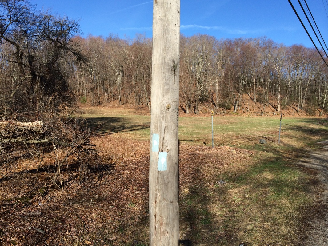
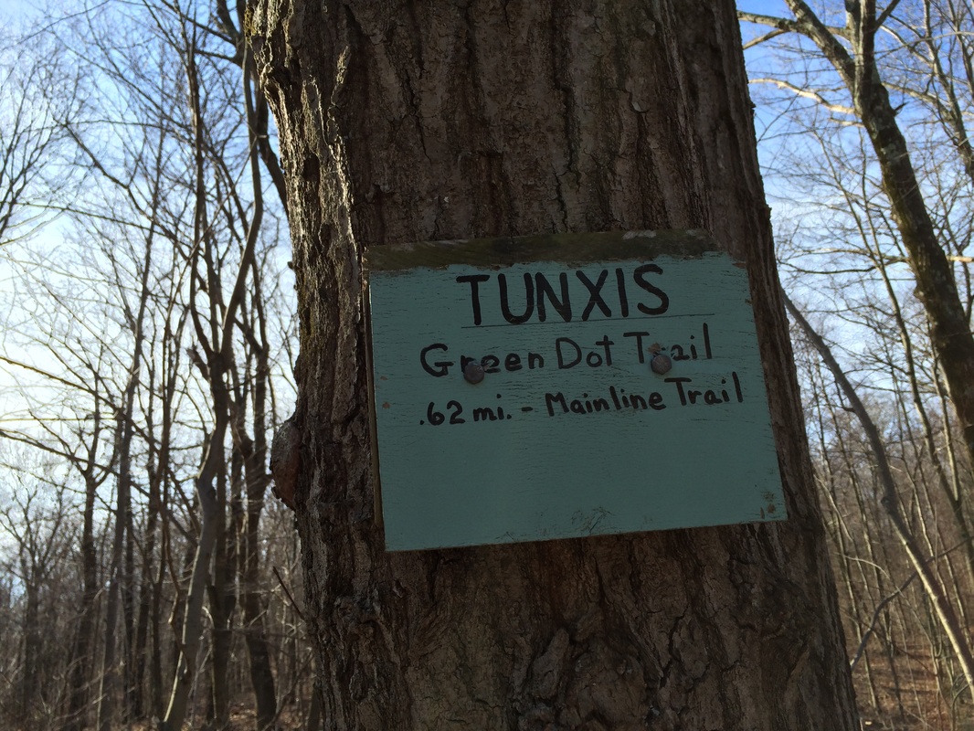
Roughly 7/10 of a mile after crossing George Washington Turnpike, we came to a trail junction. Here, the Green Dot Trail heads due south for about 6/10 of a mile, where it meets up with the mainline Tunxis. We made the left turn and followed the Green Dot Trail, leaving the remaining sections of the White Dot Trail for another day...
|
|
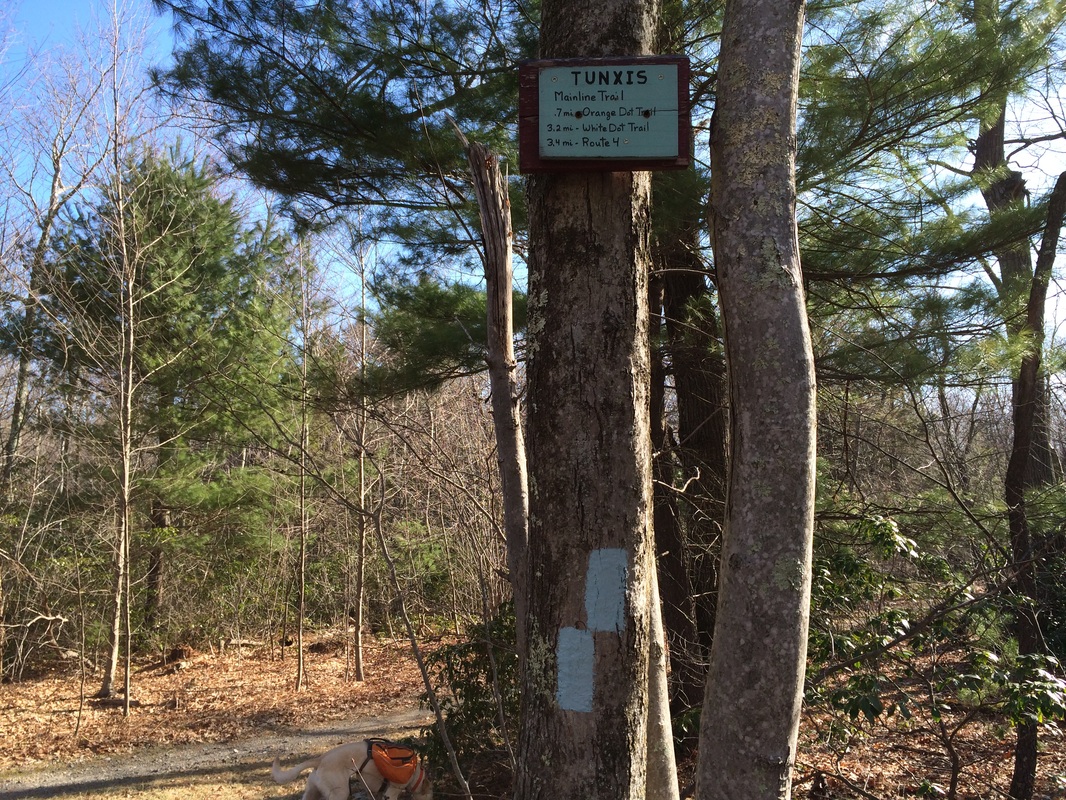
Roughly 5 miles from the start of our hike, we reached the south junction of the Green Dot Trail and the mainline Tunxis. I made a hard left to follow the mainline, retracing my steps from a day earlier for the next mile or so...
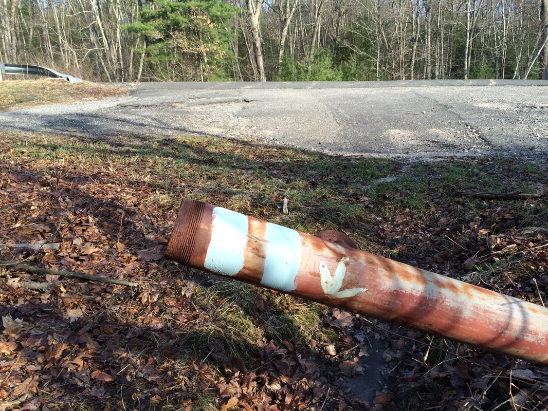
Approximately 6 miles of hiking since the start of the day, and we had made our way back to the parking location off of Stone Road. Looking at my watch, I knew I still had some time before I needed to be at my aunt's house for Easter lunch. So, I decided to stay straight and tackle the Red Dot South Trail while I was in the area...
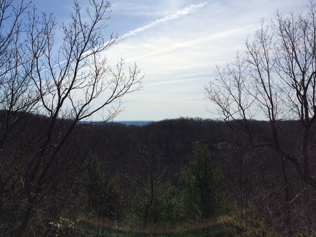
Over the next 1.2 miles, we followed the Red Dot South Trail as it brought us from Stone Road to George Washington Turnpike. Along the way, we passed over the north slope of Wildcat Mountain (elevation: 850 feet). I stopped to take a picture of the view...
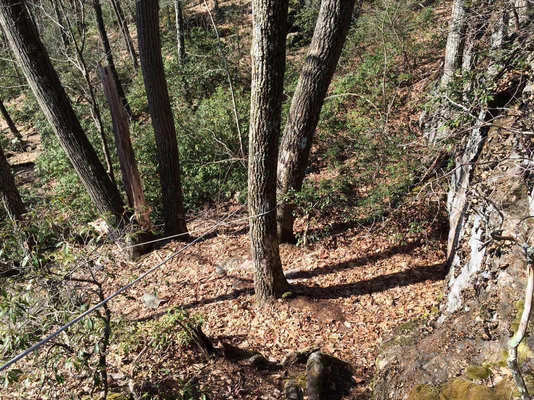
The descent from Wildcat Mountain is pretty steep. As you can see in the picture below, someone had the good sense to add a rope which is helpful. I bet in the winter months, this thing is a life saver...
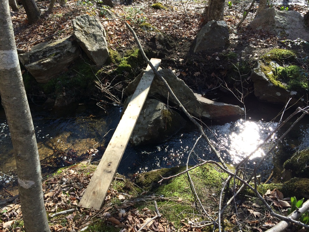
Around the 7 mile point, I encountered a bit of a problem when we reached Wildcat Brook. The water was particularly high and not passable...unless I wanted wet shoes and socks up to my ankles, which I didn't...
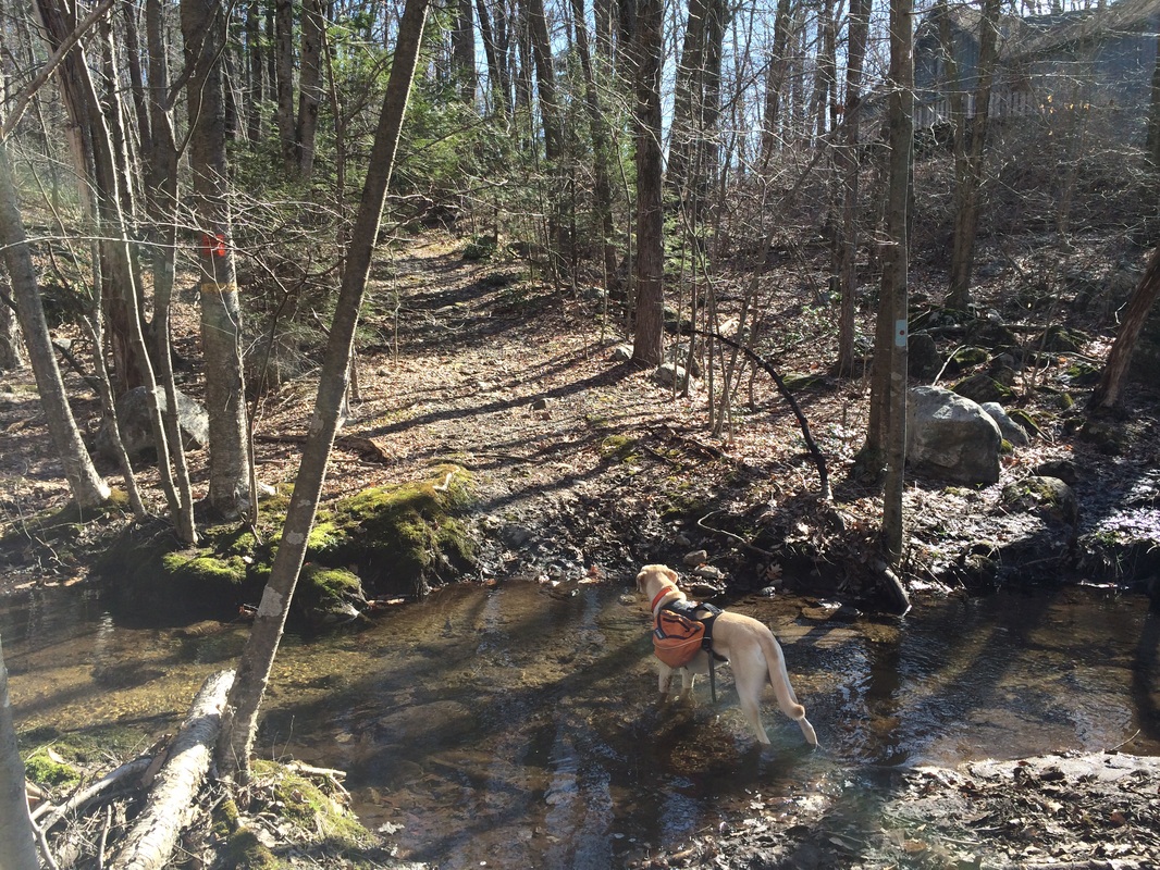
So I bushwhacked my way upstream a bit and found a more narrow crossing...and this 2x4. I discovered the 2X4 was not as sturdy as it looked. So, I used it as more of a hand rail and crossed the brook by stretching my leg out to the rock on the other side. My advice: if the water is high when you get to Wildcat Brook, don't try to cross on this 2x4...
About 3/10 of a mile after crossing Wildcat Brook, we reached George Washington Turnpike and the end of the Red Dot South Trail...
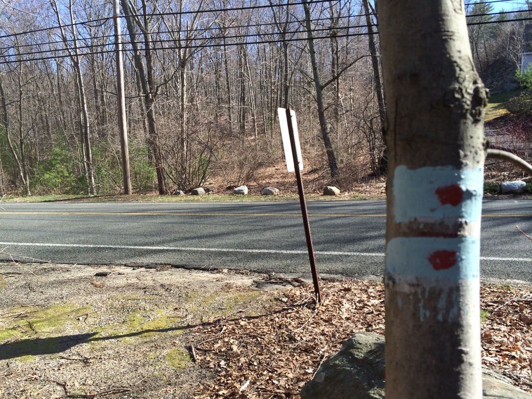
Note: the trail used to continue on the other side of George Washington Turnpike, but a new development has split the former Red Dot Trail into two trails. I was planning to save the Red Dot North Trail for another day. And, I really didn't feel like making my way back across Wildcat Brook and back over Wildcat Mountain. So, we made a left and ended our day on a road walk (George Washington Turnpike to Stone Road).
For now, this is the end of the Burlington Region of the Tunxis Trail System. I still have a few side trails left here (including the Red Dot North, Punch Brook, and Nature Center Connector trails...as well as a 1.5 mile section of the White Dot Trail). But, for now I am moving on to bigger and better things. I plan to return here in the fall. But next up is Hike # 100, and I've got something special planned for that. And, beyond Hike # 100, I've got something even better planned. Stay tuned for that...
For now, this is the end of the Burlington Region of the Tunxis Trail System. I still have a few side trails left here (including the Red Dot North, Punch Brook, and Nature Center Connector trails...as well as a 1.5 mile section of the White Dot Trail). But, for now I am moving on to bigger and better things. I plan to return here in the fall. But next up is Hike # 100, and I've got something special planned for that. And, beyond Hike # 100, I've got something even better planned. Stay tuned for that...
For a map of this hike, along with elevation data, please click here.
Total 2014 Miles: 210.53
