Hike #34
Bigelow Hollow State Park Trails (Mashapaug Pond View Trail, Bigelow Pond Loop Trail)
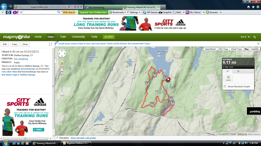
Distance: 6.45 miles
Approx Time to Complete: 3 hours
Date Hiked: 1/21/2013
Date Published: 1/30/2013
Bigelow Hollow State Park Trails (Mashapaug Pond View Trail, Bigelow Pond Loop Trail)
Distance: 6.45 miles
Approx Time to Complete: 3 hours
Date Hiked: 1/21/2013
Date Published: 1/30/2013
The final day of a four day weekend…Martin Luther King Day! At this point, I was pretty tired. But, I had previously set a goal of twenty-five miles over these four days and I was determined to hit it. More importantly than that, I was really impressed with Roscoe. I thought for sure on the morning of the third day, he would show some signs of being too tired/sore to go with me. When he ended up hiking on that third day, I thought for sure I would have to leave him home on this day. But, through it all, he never showed any signs of needing a day off. So, together, we pressed on.
On our final hike of the weekend, we were returning to Bigelow Hollow State Park in Union, Connecticut. We were here eight days earlier and, of the six trails throughout the park, we still had four to go. In my hike # 30 recap, I wrote about how I originally wanted to experience the Ridge Trail (and Peter Rabbit Rock), but had to change plans on the fly. Now, I’ve decided to save that trail for last and do it on the way back from traveling the Nipmuck Trail. I think it will make a nice final chapter to this section of hikes. Also, I’m determined to experience the “long-distance” trails (like the Nipmuck) from beginning to end from now on. So, the Mashapaug Pond View Trail and Bigelow Pond Loop Trail it is!
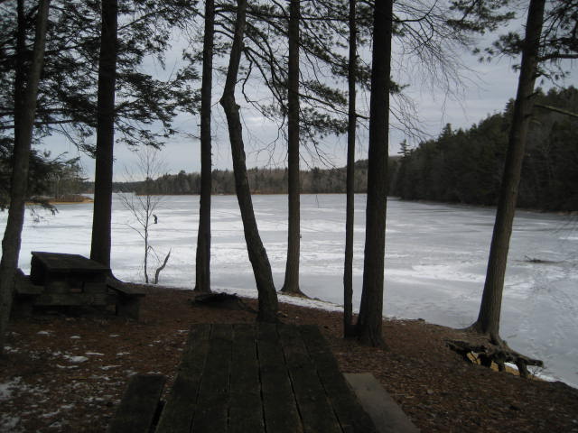
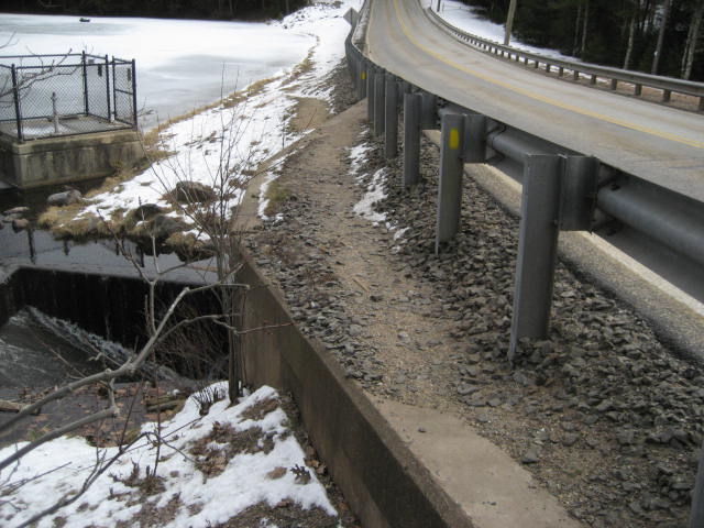
We parked next to the same boat launch I had parked next to on my Hike # 30. I took another picture of the boat launch. I only share it again now because I thought it was cool that you could see the tracks in the middle of the pond from the ice fishermen. As I was gearing up, I watched one of them begin his journey (dragging his tools behind him on a sled) from the boat launch to the middle of the pond.
On our final hike of the weekend, we were returning to Bigelow Hollow State Park in Union, Connecticut. We were here eight days earlier and, of the six trails throughout the park, we still had four to go. In my hike # 30 recap, I wrote about how I originally wanted to experience the Ridge Trail (and Peter Rabbit Rock), but had to change plans on the fly. Now, I’ve decided to save that trail for last and do it on the way back from traveling the Nipmuck Trail. I think it will make a nice final chapter to this section of hikes. Also, I’m determined to experience the “long-distance” trails (like the Nipmuck) from beginning to end from now on. So, the Mashapaug Pond View Trail and Bigelow Pond Loop Trail it is!
We parked next to the same boat launch I had parked next to on my Hike # 30. I took another picture of the boat launch. I only share it again now because I thought it was cool that you could see the tracks in the middle of the pond from the ice fishermen. As I was gearing up, I watched one of them begin his journey (dragging his tools behind him on a sled) from the boat launch to the middle of the pond.
The Mashapaug Pond View Trail begins just north of the boat launch. There is a dirt road which serves as a kind of access trail to the beginning of the trail. The Mashapaug Pond View Trail, being a loop trail, also ends here. Note: This is a change from the map in the CFPA Walk Book, which makes it look like the trail passes right through the parking lot.
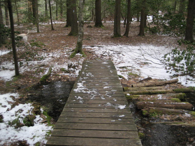
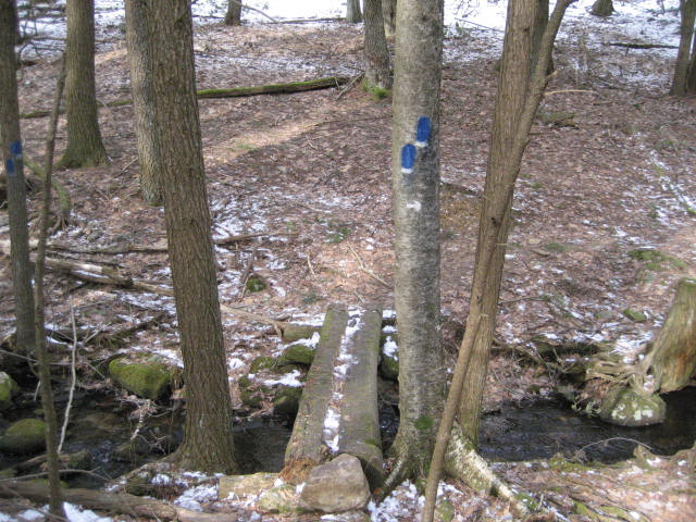
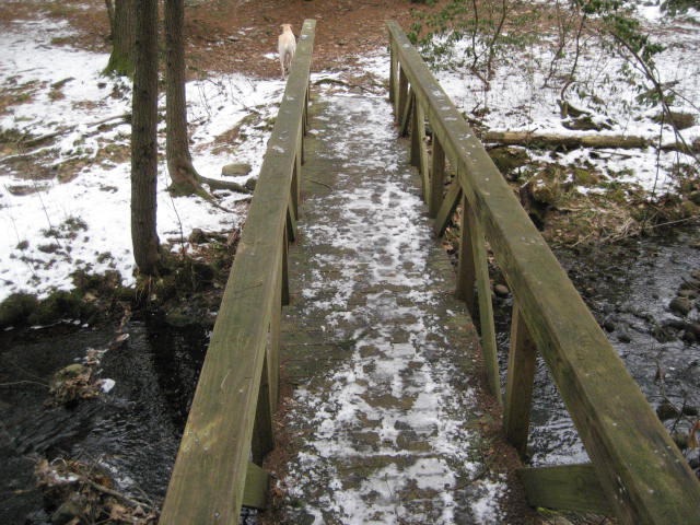
Once we reached the marker showing the beginning/end of The Mashapaug Pond View Trail, we made a right turn and started by heading towards the pond. We crossed the wood bridge you see in the picture below and entered an area of pines. This would be the first of many wood bridge crossings on this day.
Once we reached the marker showing the beginning/end of The Mashapaug Pond View Trail, we made a right turn and started by heading towards the pond. We crossed the wood bridge you see in the picture below and entered an area of pines. This would be the first of many wood bridge crossings on this day.
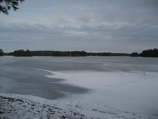
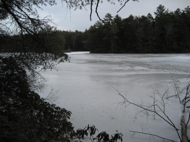
Once the trail reaches the edge of the pond, it bears left and follows the edge of the pond. Really, the first mile or so just follows the edge of Mashapaug Pond (thus, the name Mashapaug Pond View Trail). I took several pictures in the area but I consider these to be the best…
Eventually, around the one mile mark, we came to this wood bridge. The trail on the other side starts to ascend and leads to a cool overlook. I took one last picture of the pond from the overlook.
Shortly after the overlook, the trail makes a hard left and starts to head away from the pond. It also starts to climb more steeply. After about a quarter of a mile of climbing, the trail makes another left turn and starts to head due south. Over the next mile or so, it continues to head due south with some twists and turns mixed in for good measure.
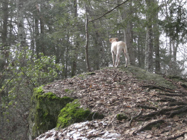
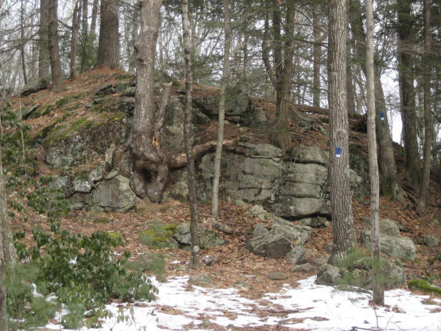
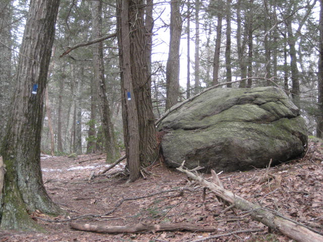
Along the way, we passed several cool rock formations and Roscoe did his thing…
Along the way, we passed several cool rock formations and Roscoe did his thing…
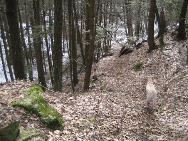
Somewhere in the next stretch, we came to a fairly steep descent. I took the pictures you see below. The first picture is from the top of the ridge looking down. The second picture is looking back up once we reached the bottom.
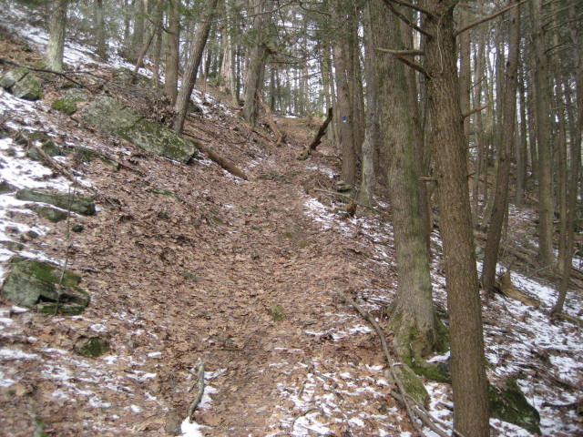
Shortly after this drop, we ascended again. In fact, there were a lot of ups and downs in this stretch. But, this one is the most “severe”.
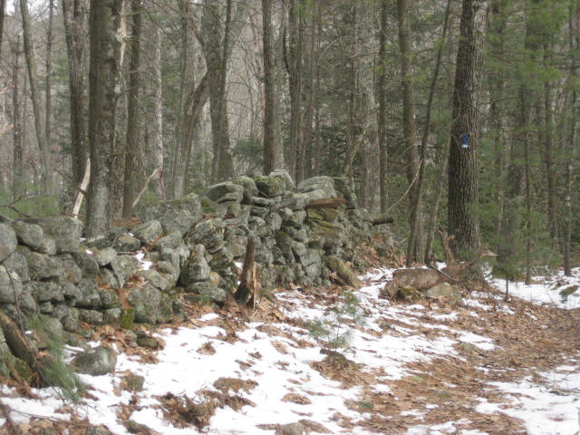
Around two and a half miles in, the trail made a left turn and started heading east. Just after the three mile mark, it turns left again and heads due north. It stays heading in this direction for a half of a mile before it comes to the stone wall you see in the picture below.
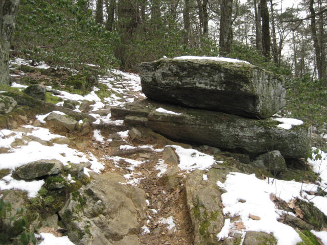
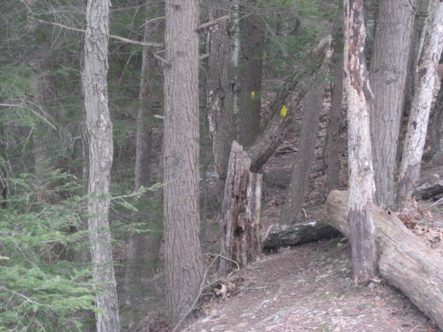
It doesn’t follow the wall for very long…and quickly makes a right turn to head in a southeast direction. Here we began to ascend again and passed these cool rock formations…
Just about three and half miles in, the trail begins to descend steeply for the next half mile or so. We passed a group of three college aged kids who were going the other way through here. And, as much as I’ve come to despise these steep descents, I was thankful to be heading in this direction. Not that the climb I made earlier (near the beginning of my hike) was any less challenging than the climb they were making.
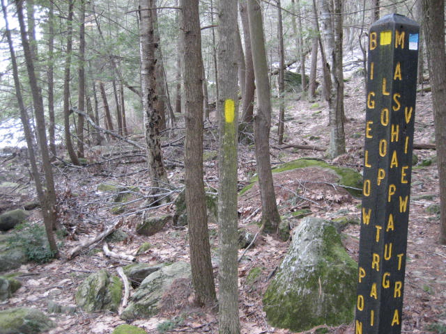
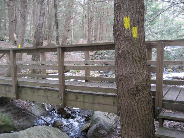
Eventually, the trail comes to the intersection with the Bigelow Pond Loop Trail (yellow-blazed)…
Eventually, the trail comes to the intersection with the Bigelow Pond Loop Trail (yellow-blazed)…
From the intersection, we made a right turn and followed the edge of Bigelow Pond in a counter-clockwise direction.
The Bigelow Pond Loop Trail continues to follow the western edge of the pond, for about a half mile or so, before it comes to Rt. 171. Unlike most trails, which would turn into a road walk here, the trail actually stays on the left side (the park side) of the guard rail. Since there is no breakdown lane on this section of Rt. 171, this makes sense.
We passed along the southern edge of the pond and, shortly after, re-entered the woods. I could see where, if you weren’t paying close attention, you might lose the trail here. So, keep an eye out for the trail to re-enter the woods. If you end up in the parking area, you’ve gone the wrong way.
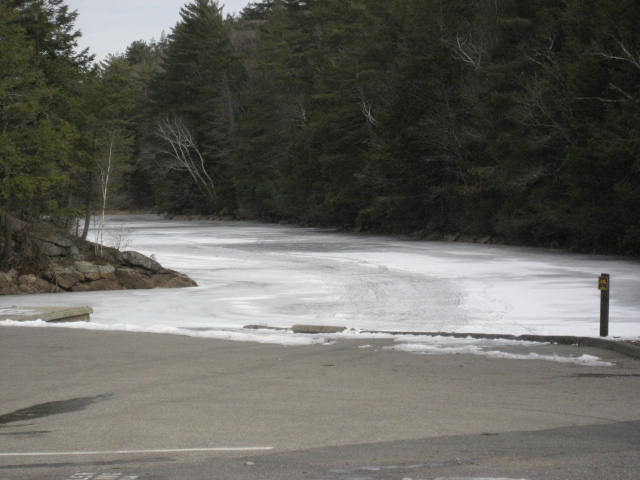
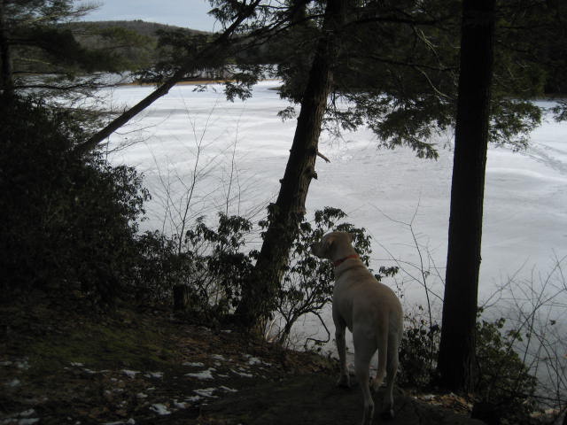
After we re-entered the woods, we took a minute so Roscoe could go skating. I was confident that the ice was thick enough to support him because it was supporting the 200 pound ice fisherman we had just passed. So, I figured my 80 pound dog would be ok. I even threw a stick out to the middle of the pond for him to chase. It broke when it hit the ice and he tried to go after the first piece, but wasn’t able to stop on the ice so he just slid by it…and went for the second (further) piece. On the way back, I took this picture. I like it because you can see him eyeing the first piece and it looks like he has a hockey stick in his mouth. Disney Presents...Roscoe on Ice 2: Hockey Dog!

As we were walking along the eastern edge of the pond, we crossed the five mile mark and I began closing in on my 25 mile goal. In the process, we also crossed three more wood bridges. I imagine this area gets pretty wet in the spring months.
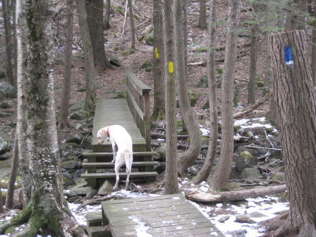
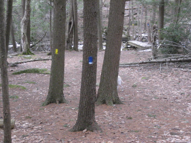
At this point, we also had made our way back to the intersection with the Mashapaug Pond View Trail. You can see how some of the trees in the area even carry both blazes.
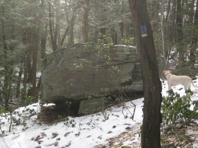
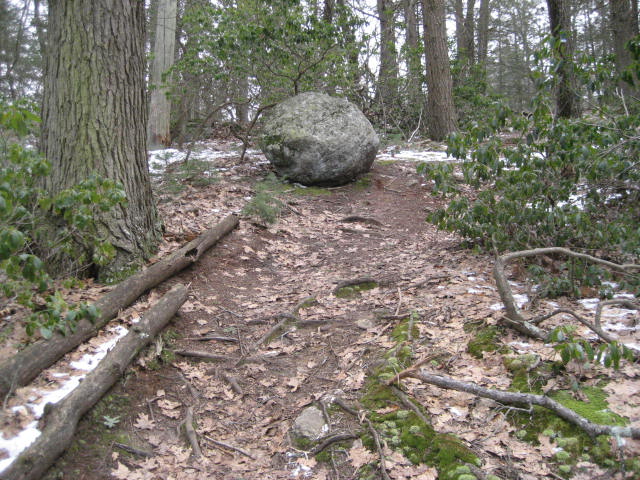
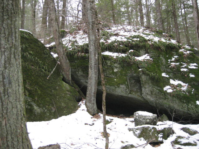
From the intersection, the Mashapaug Pond View Trail would lead us back to my car (still about a mile away). The trail ascended again and we went by this cool rock formation. I got a closer look to see if anything was hanging out in the “cave”, but it was empty.
From the intersection, the Mashapaug Pond View Trail would lead us back to my car (still about a mile away). The trail ascended again and we went by this cool rock formation. I got a closer look to see if anything was hanging out in the “cave”, but it was empty.
I also noticed, somewhere in here, that my phone had shut off (I think it was too cold). So, the MapMyHike Map at the end of this recap isn't completely accurate. I eventually realized that it had turned off and turned it back on. The app automatically connected the distance between where the phone had shut off and where I was now, but it was basically a straight line. I was concerned that this would keep me from hitting my goal but it didn’t.
We followed the trail back to the parking lot (again, with some differences from what the CFPA Walk Book Map shows). I did some quick calculations and determined that over the last four days, I had traveled 26.16 miles. Not the longest distance, by any stretch, but I was happy that I was able to hold an average of 6.25 miles over the course of four days…especially since a good chunk of those miles were on The Metacomet. In the process, I also knocked off a big chunk of my goal for the year. At the end of this hike, I was more than doubling the pace necessary to hit that goal. At this rate, assuming I hike through the summer, I should blow my goal out of the water…and I’m excited about that.
Distance to 2013 goal: 318.51