Hike #48
Stony Creek Quarry Preserve Trails
Distance: 7.75 miles
Date Hiked: 4/21/2013
Date Published: 4/21/2013
Stony Creek Quarry Preserve Trails
Distance: 7.75 miles
Date Hiked: 4/21/2013
Date Published: 4/21/2013
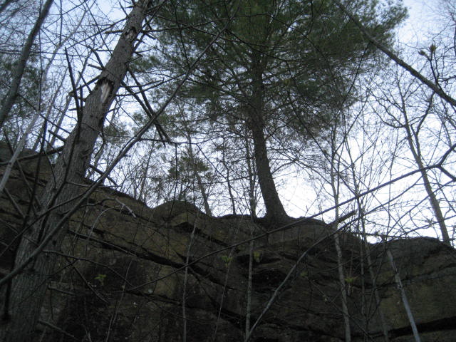
For this recap I’m going to do something a bit different from the standard recaps. This trail system is really complicated and the trails (those that are blazed) aren’t blazed all that well. And, it can be challenging enough trying to find where one trail ends and the other begins…never mind trying to explain it to an audience through typed word and/or photographs. So, for this hike (and future hikes in the Stony Creek Quarry or Westwoods Trails), I’m going to let the pictures do the talking. I’ll include the blaze color and a general description of where you can find these “highlights”.
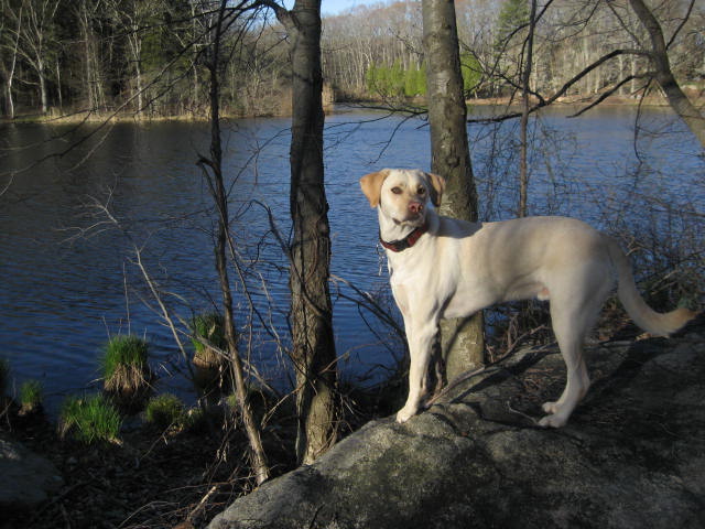
Those of you who are frequent readers will remember Stony Creek as the trail system where Roscoe had a hard time climbing down off a rock formation on New Year’s Day. I figured, now that the snow is gone and the weather is warmer, we could give this trail system another shot. Naturally, he was a champ.
In order to explain where you can find the highlights of these trails, I’m going to flip the script a bit and include the map generated from MapMyHike at the start. Also, please note that there are many parking locations in the area. I left my car off of Quarry Road in Branford (I-91 to I-95 North, exit 56…right on Lestes Island Road…bear left when Lestes becomes Rt. 146…left on Quarry Road). All locations discussed in this “recap” are in relation to this parking area.
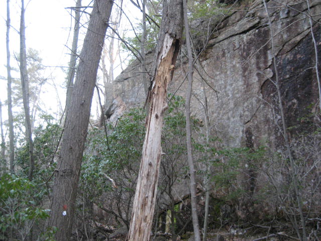
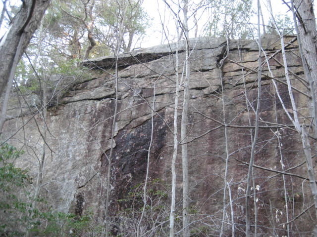
The cool looking cliff face you see in the pictures below can be found on the Orange Trail, just to the northeast of the parking location I described. If you follow the access trail from the parking area to the east, you will find a waterfall. The Orange Trail, which heads generally North/South, can be found to the left of the waterfall. Once you are on the Orange Trail, look for the cliff face...
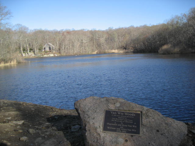
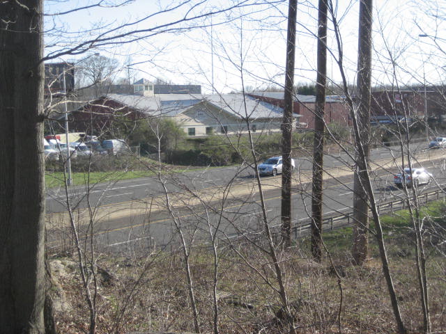
In the picture directly below, Roscoe is standing in front of a lake which can be viewed from the Pink Trail. The Pink Trail, which can be found to the northwest of the parking area, can be accessed from a number of different trails. The lake is on the north side of Red Hill Road and there is an additional parking area here. The Pink Trail will also bring you within a few hundred feet of I-95. I scrambled a bit off trail to take the pictures you see…
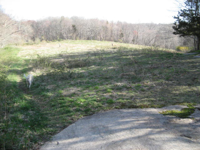
The field (with bird houses) in the picture below can be reached from the Green Trail. The Green Trail, which is perhaps the most confusing trail in the area, cuts right through the described parking area. At least, on the walk book map it does. When you get to the area, you will find that instead of green blazes, the area around the parking location has small, white discs (almost like what you would expect to find on an access trail). But, once you leave the area of the parking location, there will be actual green blazes. The field can be found to the west of the parking location…along with the foot bridge you see in the second picture…
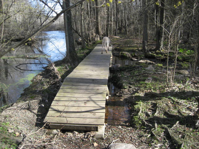
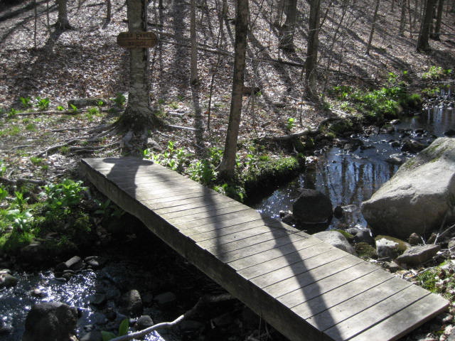
The final easy-to-access (and describe) highlight I found on this trip is the bridge in the picture below. A sign in the area claims that this is the Ilsa Gabel Bridge. It can be found on the Blue Trail, to the northwest of the parking area…not far from the Pink Trail…
Distance to 2013 goal: 221.94
