Hike #50
Trail: Metacomet
Section: Ragged Mountain Preserve (Berlin, CT) to Route 372 (Plainville, CT)
Distance: 9.15 total miles (roughly 8.5 along the Metacomet)
Approx Time to Complete: 4 hours
Date Hiked: 4/28/2013
Date Published: 4/28/2013
Trail: Metacomet
Section: Ragged Mountain Preserve (Berlin, CT) to Route 372 (Plainville, CT)
Distance: 9.15 total miles (roughly 8.5 along the Metacomet)
Approx Time to Complete: 4 hours
Date Hiked: 4/28/2013
Date Published: 4/28/2013
This was it…my final section of The Metacomet Trail. It is no accident that it ended up as Hike #50. It is also no accident that I would end this hike right where I began 50 hikes ago. Once I realized these things were lining up naturally, I delayed this hike so that it would be Hike #50…and mapped it out so I would end at Route 372 in Plainville, where Jaci and I started way back in October of 2011. What can I say…I like symmetry.
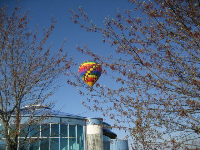
I knew this hike was going to be a good one (well, how could it be a bad one?) when, as we were driving along I-84 to the spot where we would drop my car, a pair of Canadian Geese were just hanging out in the median of the interstate. Then, after we dropped off my car and were trying to find our way through New Britain, we tracked down a hot air balloon which we had seen earlier…
I knew this hike was going to be a good one (well, how could it be a bad one?) when, as we were driving along I-84 to the spot where we would drop my car, a pair of Canadian Geese were just hanging out in the median of the interstate. Then, after we dropped off my car and were trying to find our way through New Britain, we tracked down a hot air balloon which we had seen earlier…
Eventually, we made our way through New Britain and to West Lane. I think, with this trip, the lot off West Lane has become my most favored parking/drop off location. Roscoe and I hopped out of the car and, shortly before 8am, hit the trail.
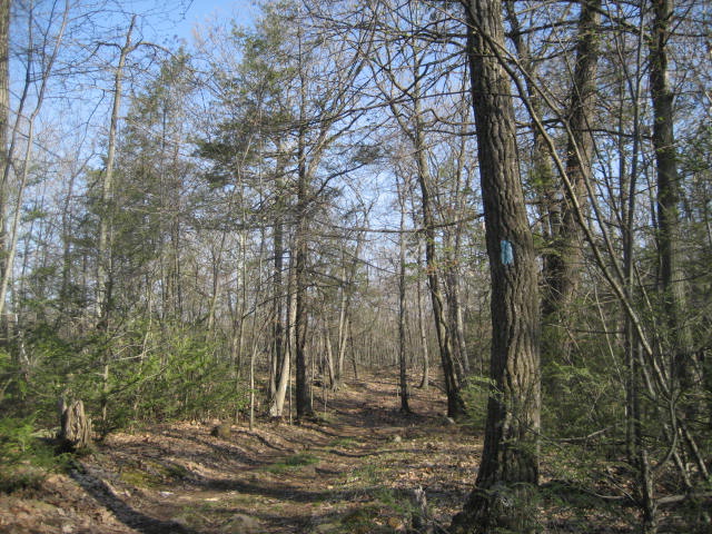
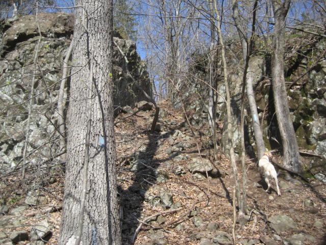
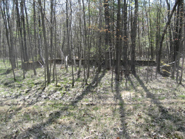
I decided to follow a new (for me) trail through Ragged Mountain Preserve. Of the different access trails running through the preserve, I knew the Blue/Orange trail would eventually bring me to the Metacomet. I thought it would also be an easy trail, but it proved more difficult than I originally anticipated…
I decided to follow a new (for me) trail through Ragged Mountain Preserve. Of the different access trails running through the preserve, I knew the Blue/Orange trail would eventually bring me to the Metacomet. I thought it would also be an easy trail, but it proved more difficult than I originally anticipated…
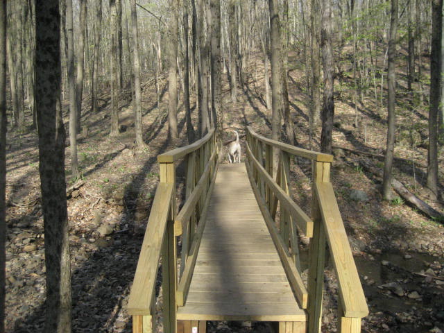
The Blue/Orange Trail wasn’t overly difficult; it just wasn’t the cake-walk I expected it to be. And, that proved to be a good thing because it got my legs good and stretched out before we hit the actual Metacomet. It also had some fun features, like this foot bridge…
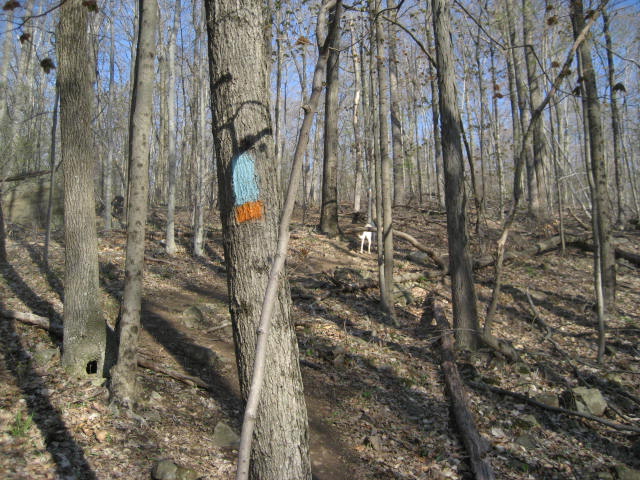
Eventually, we made our way (after about a half mile), to the Metacomet. I was feeling nostalgic, so I took this picture of the first blue blaze of the day…
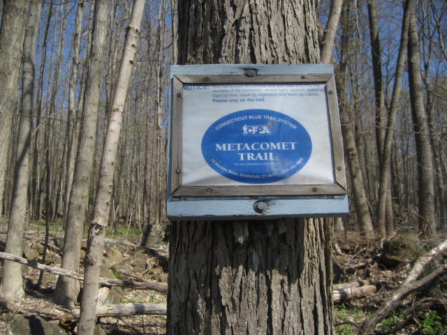
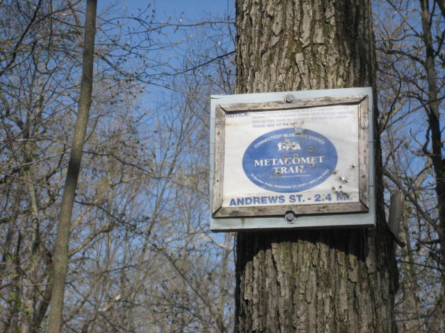
For the first mile or so along the Metacomet, I would be covering ground I already covered (on Hike # 43), when I used the Metacomet as a portion of a loop hike including the Ragged Mountain Preserve Trail. Just before the mile and a half mark for this hike, I came to the sign you see in the picture below…and officially started covering the remaining miles of the Metacomet…
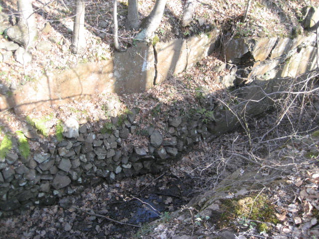
Over the next three quarters of a mile, we followed the blue blazes along an old water supply canal, crossed a (unnecessary) bridge made out of an old tree, and came to a paved water company service road…

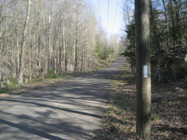
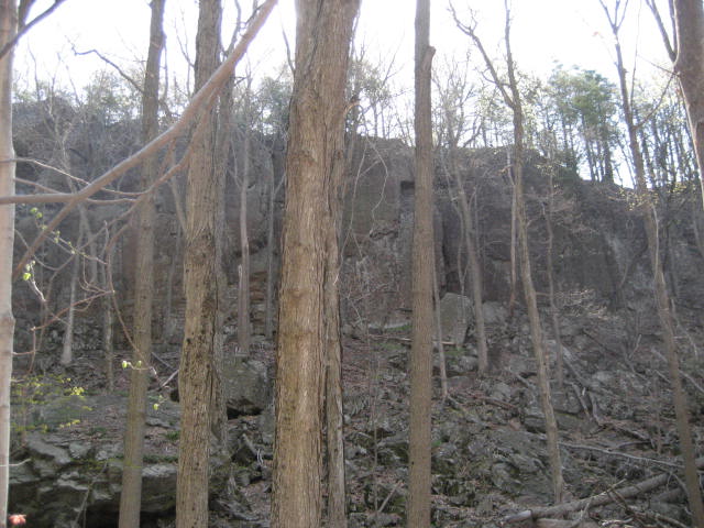
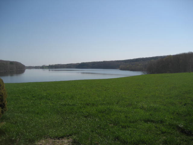
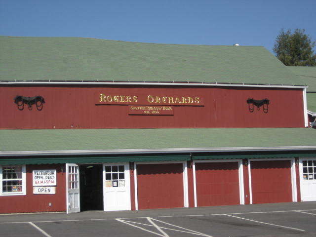
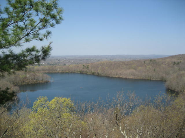
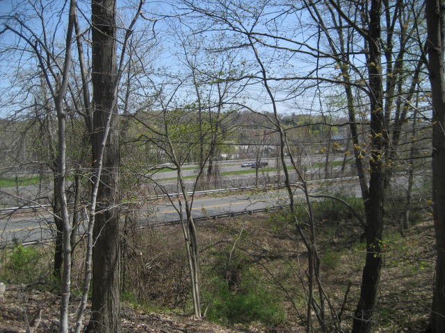
After about 100 yards, the trail leaves the service road (turning left) and heads back into the woods. We crossed a power line cut (bearing to the left and following a gravel service road) and made our way up to the Shuttle Meadow Reservoir overlook. The map in the walk book shows a viewpoint about halfway between where the trail starts to head southwest and where it crosses into Southington. I actually enjoyed the view from the viewpoint just off trail to the right as the trail first approaches the ledge better. That was where I took these pictures…
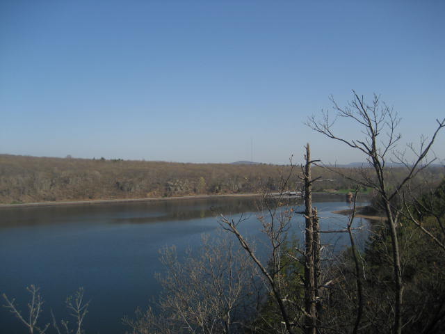
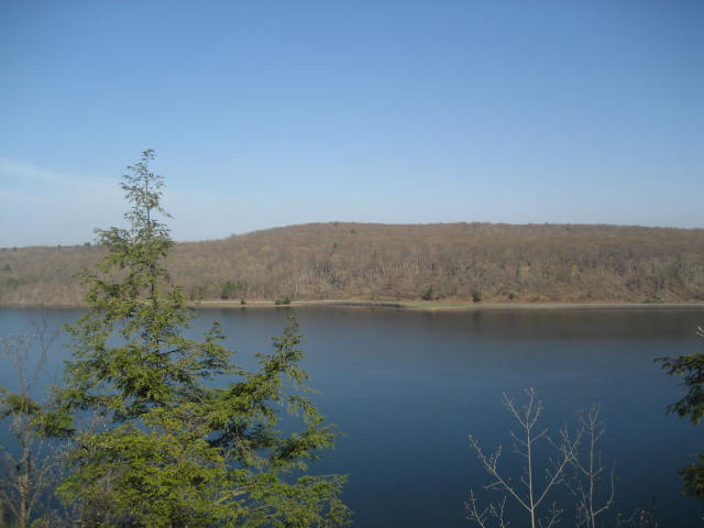
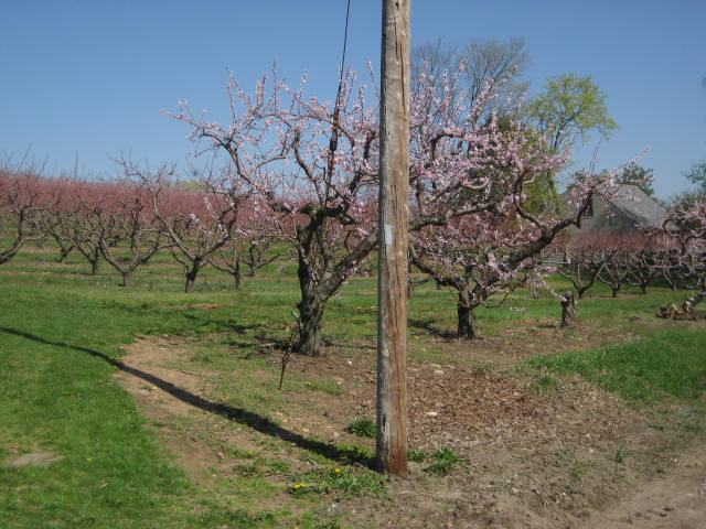
In the last picture, you can make out a set of white buildings near the center of the frame. To the left of the frame, there is a green area which looks like a field that rolls right into the lake. Later on this hike, during a road walk section, I would pass both the field (where I stopped to take a picture looking back at the ridge) and the white buildings (which is part of Rogers Orchards).
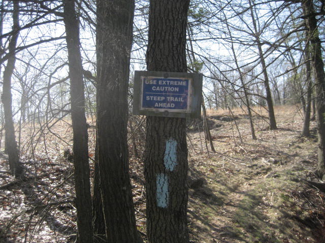
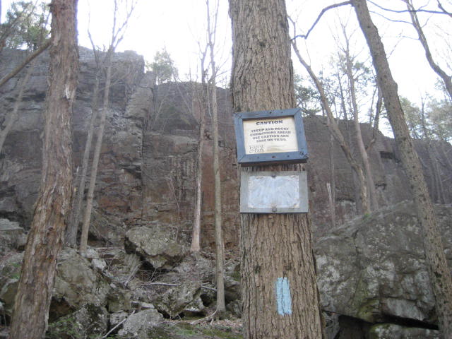
Just passed the three mile mark, still on top of the ridge, we came to this sign…
Just passed the three mile mark, still on top of the ridge, we came to this sign…
Roscoe had some difficulty and I realized why I love hiking so much. Four months ago, while hiking on New Year’s Day, he got stuck on a similar steep section. I struggled for about an hour before I realized that, if I took off my pack, I could pick him up and carry him down to where he would be more comfortable managing the rest of the descent himself. I took what I learned on that day and applied it here. After only 30 seconds, we were on the move again.
We still had to manage the rest of the steep, rocky section…but, the steepest part which gave him the biggest challenge was over. He handled the rest of the section like a champ…
We still had to manage the rest of the steep, rocky section…but, the steepest part which gave him the biggest challenge was over. He handled the rest of the section like a champ…
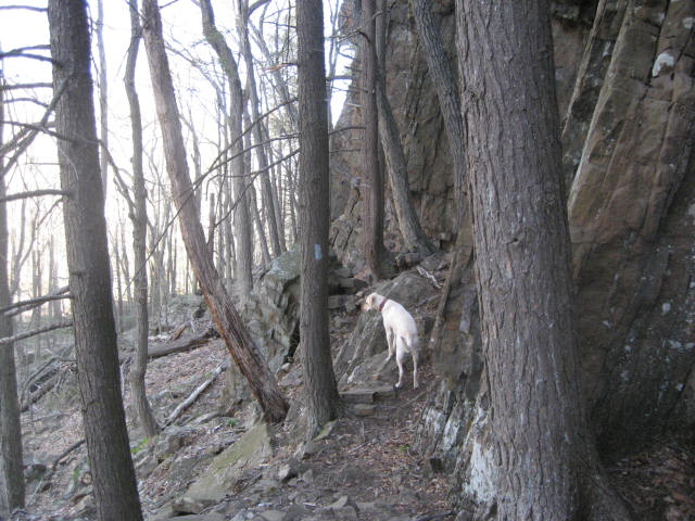
To give you an idea of just how steep this section is, I took a couple of pictures looking back uphill once we had reached the safety of the flat ground…
Three quarters of a mile later, we reached our first road walk section of the day. This was unlike any other road walk I’ve done before. As I mentioned earlier, we passed the field which allowed me to get a good shot looking back at the ridgeline and Rogers Orchards, which I could also see from the Shuttle Meadow Reservoir overlook. I also got the picture you see below. Spring in New England really can’t be beat…but ask me again in the Fall…
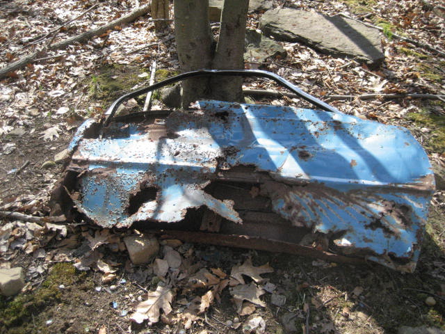
Just passed the four and half mile mark, we re-entered the woods. Some of the parts of this next section were a little lacking. One section even had some pieces of cars. In addition to the car door you see below, there was also what looked to be a red bumper…
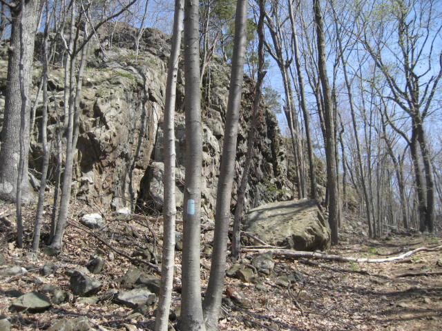
But, this is the Metacomet…and it will never be lacking for long. We turned away from the debris riddled woods road and climbed a cool section where the trail scoots through a couple of rocks that had a neat tunnel effect and made me feel like a gladiator…
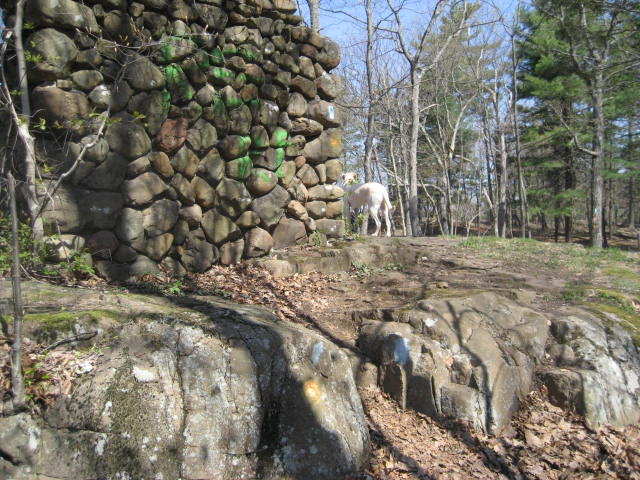
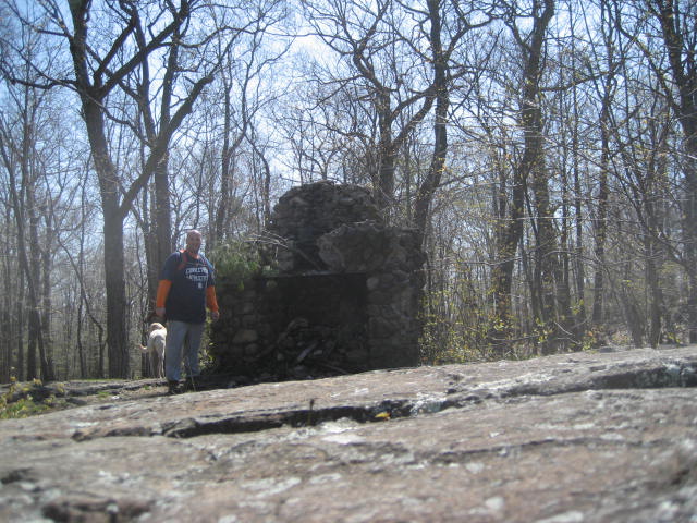
Around the five and half mile mark, we came to an old chimney. Steve over at CTMQ described this area as a paintball fight, and with the multi-color trail markers I have to agree. I’m not sure if you can make out all of the colors in the first picture below, but (in addition to the blue blazes) there is orange, red, and green. I also stopped for a 10-second timed picture in front of the chimney…
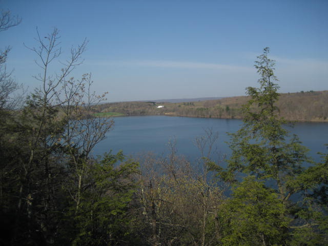
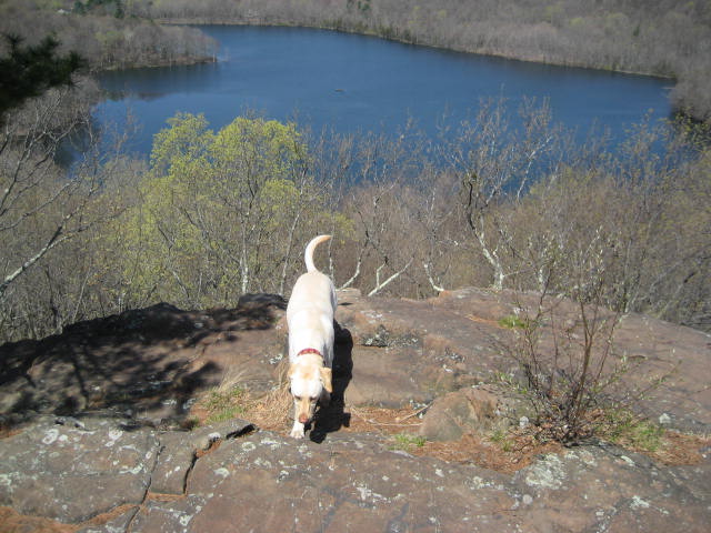
In the same area as the chimney, there are also a couple of viewpoints which overlook Crescent Lake. At this point, I have plenty of pictures from along the Metacomet where we are overlooking bodies of water from the ridgeline…but, I was also starting to getreally sentimental…so, I took a couple more…
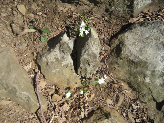
I also took another minute to enjoy the gifts of spring. It really is too bad that the warmer weather, in addition to meaning flowers in bloom, also means more bugs on the trail. As good as this hike was, the amount of bugs started to get frustrating around this point…
Somewhere around the six mile mark, we crossed from Southington into Plainville. We also reached the point where the trail recently went through a pretty significant relocation. The trail used to head West through Sunset Rock State Park, but it also followed a road walk along Ledge Road for a significant amount of time and distance. So, the trail was moved and now heads East and then North to a different road walk (along Black Rock Avenue)…
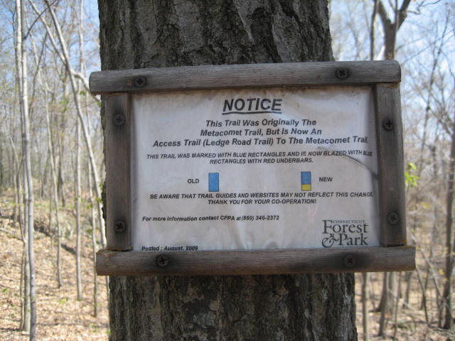
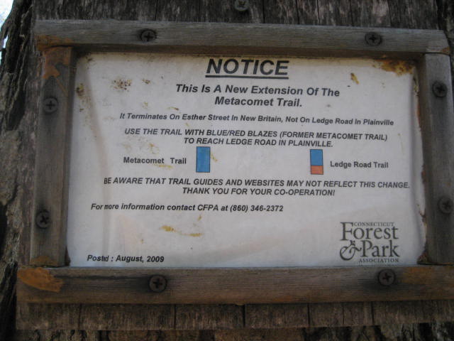
I don’t have anything to compare it to, but the new section wasn’t anything to write home about. There was an old foundation (made of concrete, not of stone like they usually are…and a creepy metal bed frame) and we did come pretty close to the traffic speeding by on Route 72, but all in all this wasn’t the most memorable section…
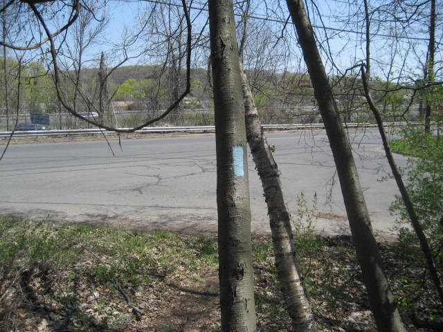
And then, around the eight mile mark, we reached the final blue blaze of the wooded part of this section…
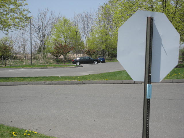
The remaining mile of this hike too us down Black Rock Avenue, Wooster Street, and West Main Street in New Britain. Overall, not a bad part of town…but it was strange, after all these miles along the Metacomet, to pass a Dunkin’ Donuts. I felt like I was back on the Shenipsit for a minute. Eventually, we made our way back to my car. Of course, I had to take a picture of the final blaze…which ironically enough was on the back of a stop sign…
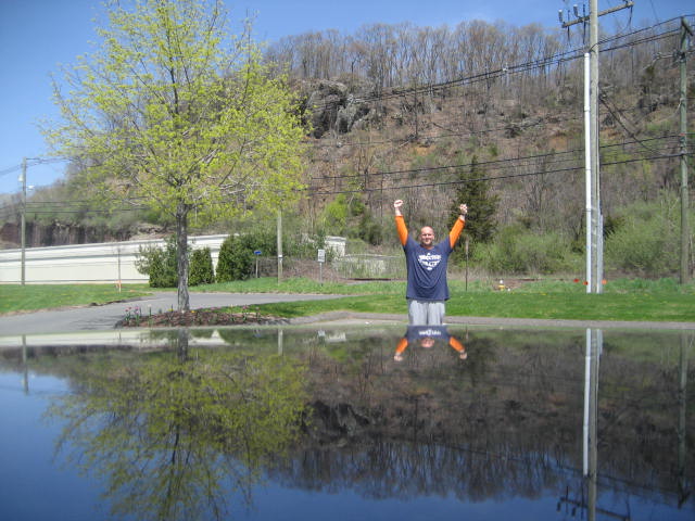
After I loaded Roscoe back into the car, I took a minute to set up one final picture. I placed the camera on top of my car and lined up a shot with the cliff Jaci and I first ascended way back on Hike #1 in the background. It is crazy to think that now, eighteen months and 60+ trail miles later, the Metacomet is officially complete. I can’t wait to send away for my Metacomet completion patch…
Distance to 2013 goal: 201.09
