Never Judge a Hike by its
Distance
Hike #115
Nayantaquit Trail (Lyme, CT)
Hike Distance: 6.35 Miles
Date Hiked: 11/23/2014
Date Published: 11/26/2014
Note: The day before the hike described in this recap, Jaci and I took Roscoe to Gay City State Park. While there, I re-hiked some of the trails which I’ve previously recapped (Hikes #11 and 12). I’m not going to recap those trails again here, but that hike added 4.27 miles to my total for 2014. Not only did this bring my mile count to 375.62 for 2014, but I also surpassed my total mileage for 2013 in the process. Any additional miles I hike in the final five weeks of 2014 will only add on to what is now a personal best.
The week before this hike was met with equal parts hopeful anticipation and general concern. As you may know, I’ve been spending a good portion of my “hike time” out in the northwest hills of Connecticut working on the Appalachian Trail. The next section of that trail doesn’t sound particularly rugged, but there is one section which I’ve heard is very steep and potentially dangerous in wet or icy conditions. So, I was keeping an eye on the forecast all week hoping it would change. Ever the realist, I also formulated a back-up plan should the storm actually roll through. Sadly, it did so I was “forced” to return to the Walk Book East.
That previous paragraph could just as easily read “I went out with my wife and friends the night before this hike...I was up late...and I was looking for any and every excuse not to get up early and drive 90 minutes to the most challenging trail I’ve done since I started hiking”. In all seriousness, the forecast was calling for overnight precipitation in the northwest hills and I thought it best to play it safe. Only later did I find out that there was overnight precipitation in several sections of the state and wet leaves can be as much of a challenge at 300 feet elevation as they are at 1400 feet elevation.
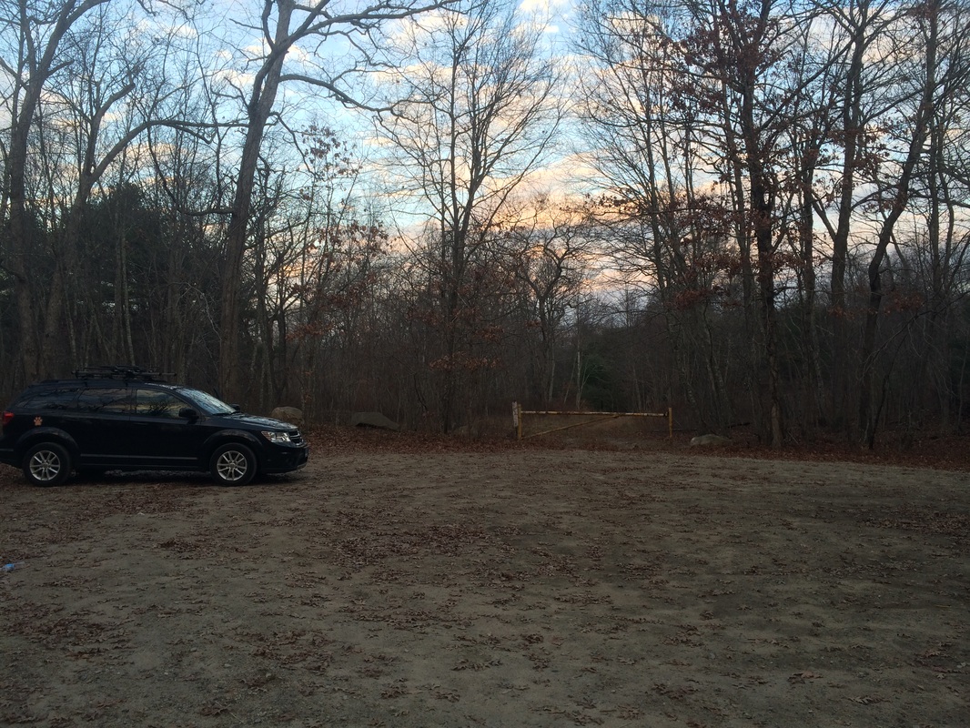
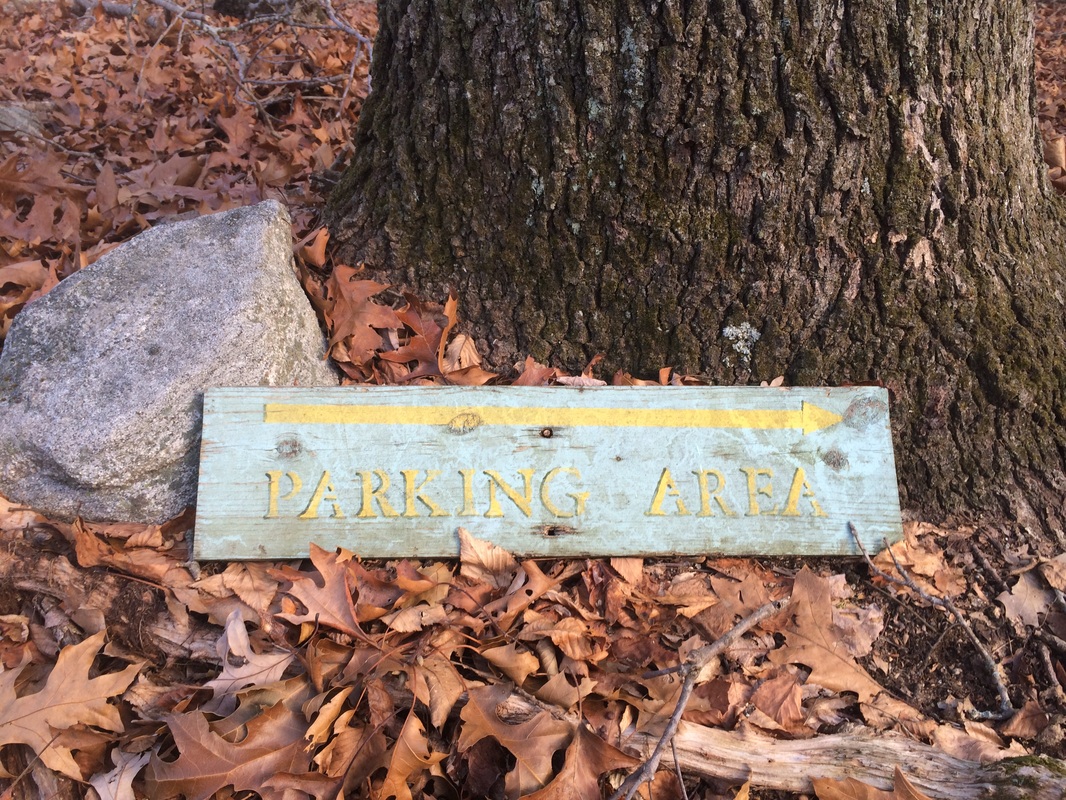
On the day of the hike, Roscoe and I were up early. But, due to my lack of motivation, we didn’t actually leave the house until after 6am. This is actually pretty late for a hike day. I drove Route 2 West until I reached Route 11 and followed that to the end. Now at the intersection with Route 82, I took a right and a quick left on Darling Road. I made a slight right on White Birch Road and then a left back on to Darling Road, followed by a quick right on Gungy Road. I followed Gungy Road for a while, passing Cedar Lake, before making a right on Beaver Brook Road. I made a left on Keeny Road, which turns to gravel shortly before entering the Nehantic State Forest. I found the parking location on the right side of Keeny Road, approximately 2/10 of a mile after the road turned to gravel…
Hike #115
Nayantaquit Trail (Lyme, CT)
Hike Distance: 6.35 Miles
Date Hiked: 11/23/2014
Date Published: 11/26/2014
Note: The day before the hike described in this recap, Jaci and I took Roscoe to Gay City State Park. While there, I re-hiked some of the trails which I’ve previously recapped (Hikes #11 and 12). I’m not going to recap those trails again here, but that hike added 4.27 miles to my total for 2014. Not only did this bring my mile count to 375.62 for 2014, but I also surpassed my total mileage for 2013 in the process. Any additional miles I hike in the final five weeks of 2014 will only add on to what is now a personal best.
The week before this hike was met with equal parts hopeful anticipation and general concern. As you may know, I’ve been spending a good portion of my “hike time” out in the northwest hills of Connecticut working on the Appalachian Trail. The next section of that trail doesn’t sound particularly rugged, but there is one section which I’ve heard is very steep and potentially dangerous in wet or icy conditions. So, I was keeping an eye on the forecast all week hoping it would change. Ever the realist, I also formulated a back-up plan should the storm actually roll through. Sadly, it did so I was “forced” to return to the Walk Book East.
That previous paragraph could just as easily read “I went out with my wife and friends the night before this hike...I was up late...and I was looking for any and every excuse not to get up early and drive 90 minutes to the most challenging trail I’ve done since I started hiking”. In all seriousness, the forecast was calling for overnight precipitation in the northwest hills and I thought it best to play it safe. Only later did I find out that there was overnight precipitation in several sections of the state and wet leaves can be as much of a challenge at 300 feet elevation as they are at 1400 feet elevation.
On the day of the hike, Roscoe and I were up early. But, due to my lack of motivation, we didn’t actually leave the house until after 6am. This is actually pretty late for a hike day. I drove Route 2 West until I reached Route 11 and followed that to the end. Now at the intersection with Route 82, I took a right and a quick left on Darling Road. I made a slight right on White Birch Road and then a left back on to Darling Road, followed by a quick right on Gungy Road. I followed Gungy Road for a while, passing Cedar Lake, before making a right on Beaver Brook Road. I made a left on Keeny Road, which turns to gravel shortly before entering the Nehantic State Forest. I found the parking location on the right side of Keeny Road, approximately 2/10 of a mile after the road turned to gravel…
There is an alternative
route to the Nehantic State Forest and the parking location, from Route 156,
but it requires a longer drive on the gravel section of Kenny Road. Based on what I saw, I wouldn’t attempt this
route unless you have a vehicle with All Wheel Drive...even in dry conditions.
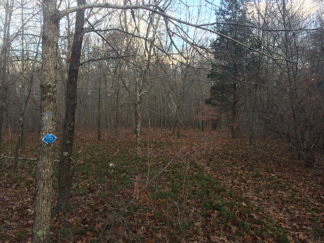
The Nehantic State Forest was the first state forest in New London County. It takes its name from the Nehantic Indians, who’s ranging grounds once extended from Wecapaug Brook (present-day Rhode Island) to the Connecticut River. Shortly before early settlers arrived, the Pequots invaded Nehanitc Territory and annexed about half of the land. Today the Forest is a great place for activities like Boating, Hunting, Letterboxing, and…most importantly…Hiking. Laying within the Nehantic State Forest...amongst many forest roads...is the 3.4 mile Nayantaquit Trail, beginning without much fanfare (not even a sign to mark the trailhead) at the back of the parking location…
The Nehantic State Forest was the first state forest in New London County. It takes its name from the Nehantic Indians, who’s ranging grounds once extended from Wecapaug Brook (present-day Rhode Island) to the Connecticut River. Shortly before early settlers arrived, the Pequots invaded Nehanitc Territory and annexed about half of the land. Today the Forest is a great place for activities like Boating, Hunting, Letterboxing, and…most importantly…Hiking. Laying within the Nehantic State Forest...amongst many forest roads...is the 3.4 mile Nayantaquit Trail, beginning without much fanfare (not even a sign to mark the trailhead) at the back of the parking location…
From the Walk Book: The Nayantaquit Trail, named after an Indian
tribe that once inhabited the area, is in the western section of the Nehantic
State Forest in the town of Lyme. It
consists of a single loop bisected by the Crossover Trail and has a connector
trail to the Uncas Pond picnic area.
There are many stone walls and stream crossings along the trail, and an
old homestead area on Brown Hill. The
area is also maintained by the Department of Environmental Protection’s
Division of Forestry, so you will see many stages of forest development along
the trail.
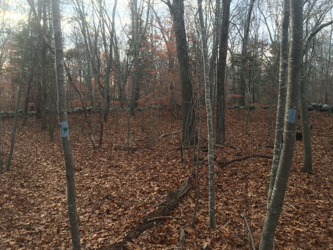
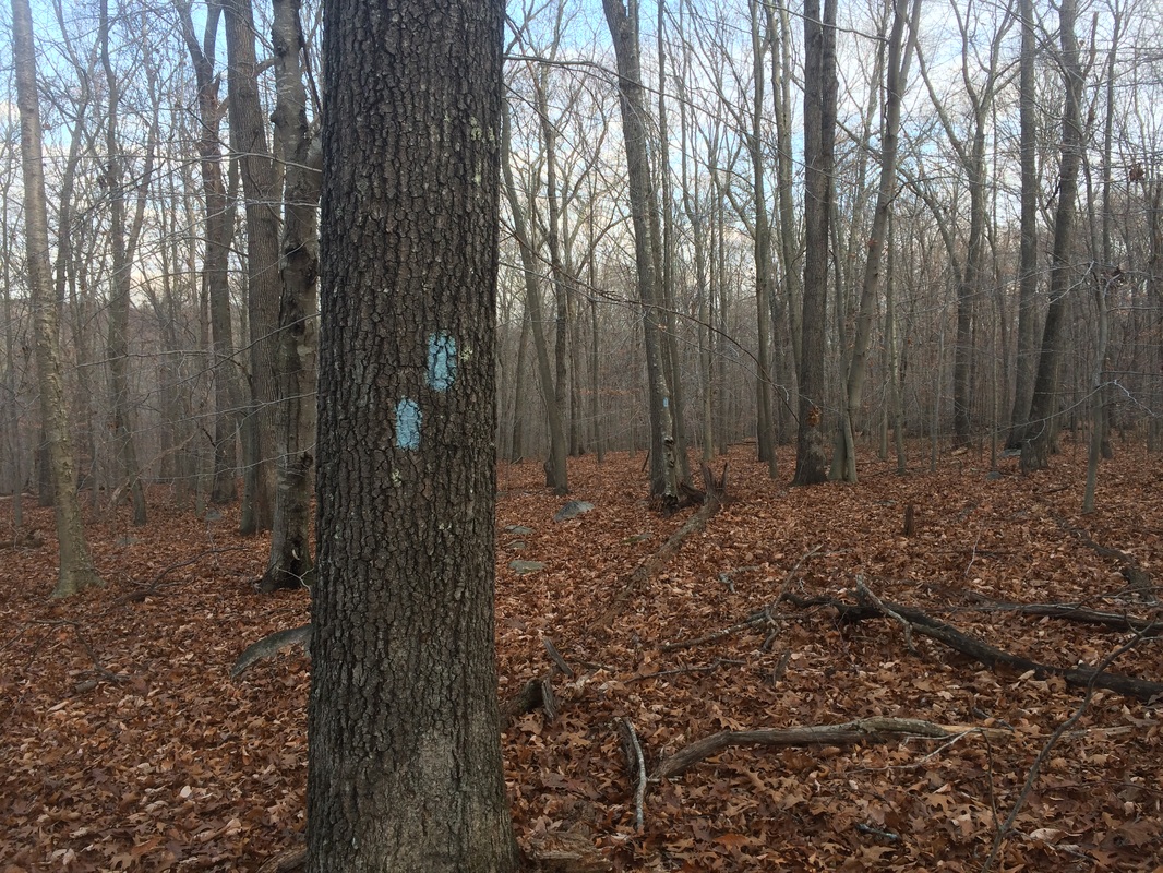
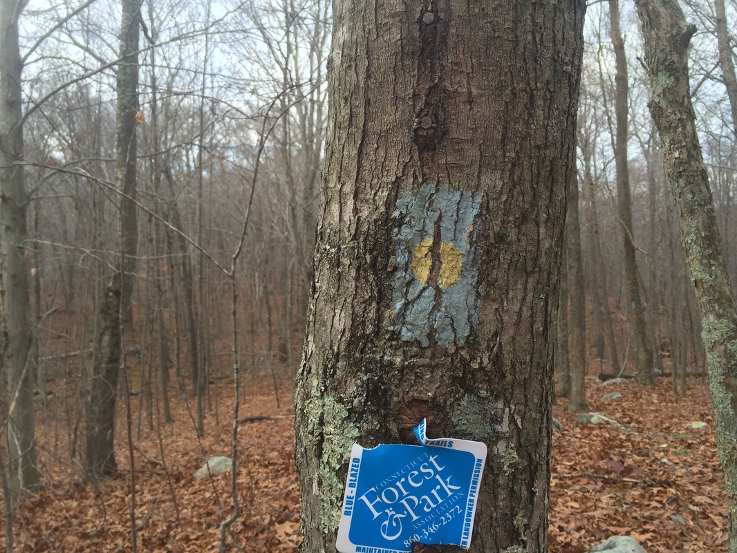
Setting out, I didn’t see anything to get me overly excited about this hike. The faded trail stickers and blazes actually gave me great cause for concern. I’ve read through other recaps by hikers who’ve experienced some difficulty navigating the trail. So, right away, I figured this hike would be more mentally challenging than physical. Instead, it turned out to be both.
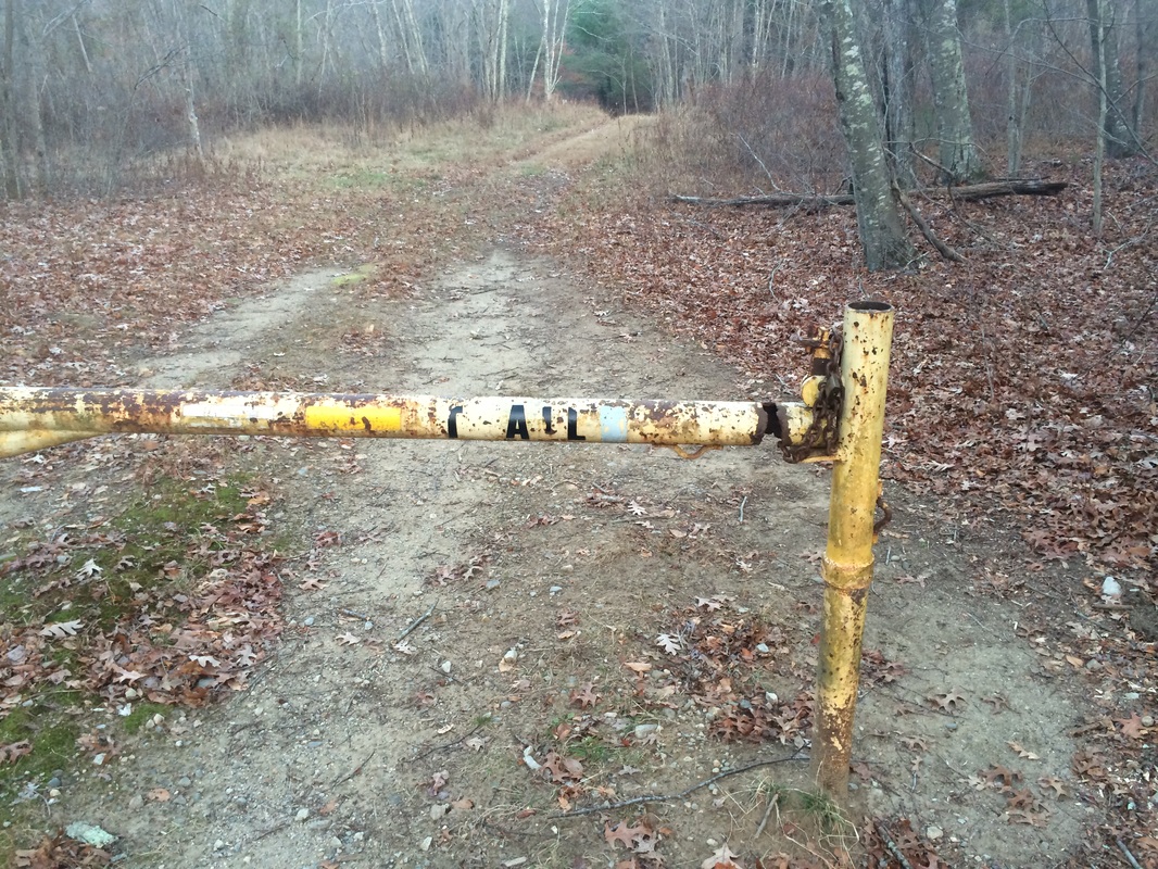
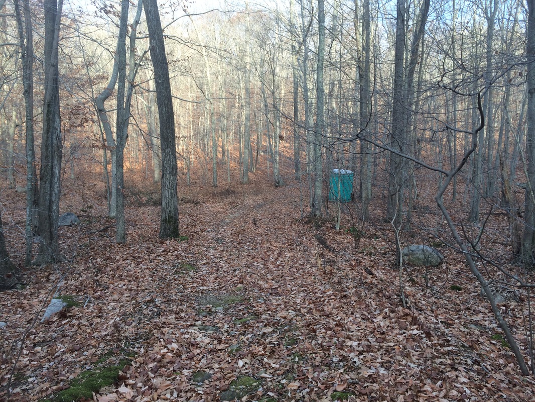
Shortly after passing the yellow gate in the picture above, the trail makes a hard left. It leaves the forest road behind and enters the woods. After a short distance, we passed a large glacial boulder.
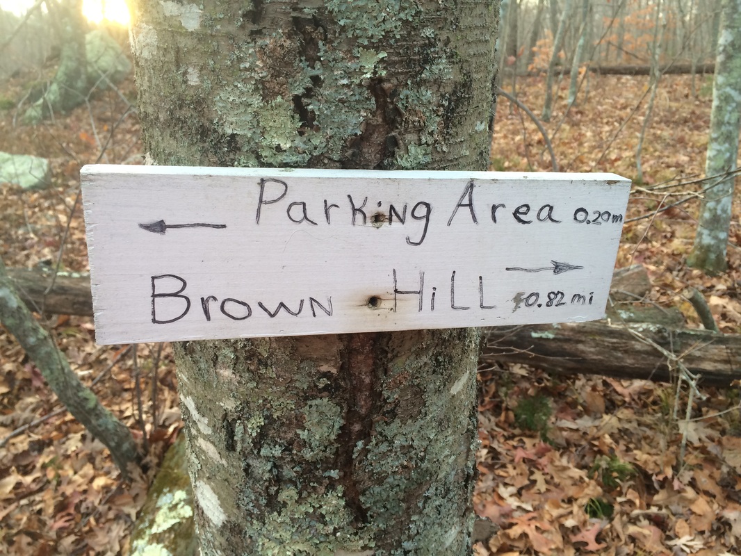
2/10 of a mile in, we reached a fork in the trail which marks the start of the loop. Roscoe wanted to go right, counter-clockwise, but the Walk Book describes the trail in a clockwise manner. So, we made a left (which was really more of a “straight”) and started following the loop in the direction of Brown Hill…
Setting out, I didn’t see anything to get me overly excited about this hike. The faded trail stickers and blazes actually gave me great cause for concern. I’ve read through other recaps by hikers who’ve experienced some difficulty navigating the trail. So, right away, I figured this hike would be more mentally challenging than physical. Instead, it turned out to be both.
Shortly after passing the yellow gate in the picture above, the trail makes a hard left. It leaves the forest road behind and enters the woods. After a short distance, we passed a large glacial boulder.
2/10 of a mile in, we reached a fork in the trail which marks the start of the loop. Roscoe wanted to go right, counter-clockwise, but the Walk Book describes the trail in a clockwise manner. So, we made a left (which was really more of a “straight”) and started following the loop in the direction of Brown Hill…
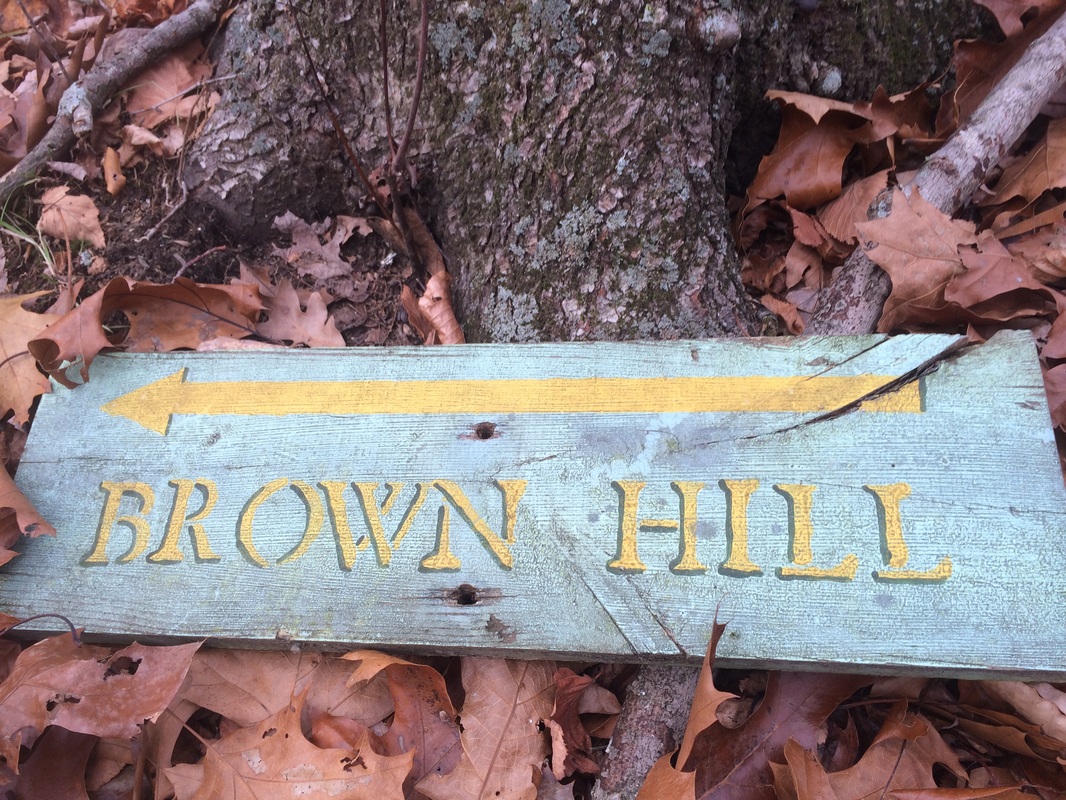
Approximately 1.0 mile in,
as we neared the summit of Brown Hill (elevation: 350 feet), we passed through
many rock walls. The Walk Book notes
this is an old homestead and mentions some “ruins” in the area (a foundation, a
well, and a stone wall), but I didn’t see anything other than the rock walls. We also reached the southern terminus of the
blue and yellow blazed Crossover Trail…
From here, the Crossover
Trail runs 7/10 of a mile and reconnects with the Nayantaquit to the north. My plan
was to stay on the main trail for now and cover the Crossover Trail later in
the hike. So, we stayed left at the
intersection for another 1/10 of a mile until we reached the blue and green blazed Uncas Pond
Connector Trail…
The Walk Book notes the Connector
Trail is 1.1 miles long, but I didn’t know if that distance was one-way or
round-trip. Either way, this is a side
trail which carries a description in the Walk Book. So, that means it is required hiking in order
for me to complete the CT400. We made a
left and followed the blue and green blazes.
Roughly 1.8 miles in, after some hilly terrain, we reached the southern terminus of the Uncas Pond Connector Trail at Kenny Road…
Roughly 1.8 miles in, after some hilly terrain, we reached the southern terminus of the Uncas Pond Connector Trail at Kenny Road…
My GPS might be a little off
from the actual distance, but I think it is safe to assume the 1.1 mile distance
mentioned in the Walk Book under the section for the Connector Trail is
round-trip. Once we reached the road, I
took the picture above and we turned around to head back the other way.
Approximately 2.4 miles in, we returned to the main trail. We immediately turned left but the trail eventually swung us back around to follow an old woods road…
Approximately 2.4 miles in, we returned to the main trail. We immediately turned left but the trail eventually swung us back around to follow an old woods road…
The main trail follows the
woods road, heading gradually downhill and passing a large area (I imagine this used to be a
field), for roughly 2/10 of a mile.
Then, the trail makes a hard right and leaves the woods road behind…
In this next section, there
were several spots on the forest floor where leaves had been brushed aside and it looked like an animal had been scavenging for a
meal.
Roughly 2.9 miles in, we made our way back to the old woods road near this port-o-let…
Roughly 2.9 miles in, we made our way back to the old woods road near this port-o-let…
I’m not sure why this is
here, but I do know…from reading other hiking blogs…there used to be
another one right next to it. So, even
more curious than why it is there…is why was the other one removed? And, where did it go?
We continued to follow the woods road for approximately 1/10 of a mile.
Around 3.0 miles in, the trail leaves the woods road and heads uphill…steeply at times…to the summit of Nickerson Hill (elevation: 452 feet). There are some partial, seasonal views from the area of the summit. But, we found the best view of the day at around the 3.6 mile point…
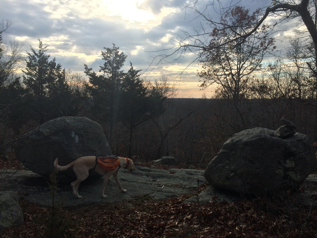
The Walk Book notes
you can see Long Island and Long Island Sound.
But, as you can sort of see in the picture above, the only real “view” is of
the ridge to the south.
The next section can be a bit tricky for those who own earlier version of the Walk Book. The text and the map both note an underground gas pipeline in the area which either a.) doesn’t exist or b.) does exist and they just don’t want anyone to know about it. Regardless, the original text also fails to mention a blue-blazed spur trail which isn’t on the Walk Book map and leads to a dead-end at the next woods road. If you have an old version of the Walk Book and want to hike this trail, you should review the replacement text over at ctwoodlands.org, which references an orange and white National Guard orientation marker…
The next section can be a bit tricky for those who own earlier version of the Walk Book. The text and the map both note an underground gas pipeline in the area which either a.) doesn’t exist or b.) does exist and they just don’t want anyone to know about it. Regardless, the original text also fails to mention a blue-blazed spur trail which isn’t on the Walk Book map and leads to a dead-end at the next woods road. If you have an old version of the Walk Book and want to hike this trail, you should review the replacement text over at ctwoodlands.org, which references an orange and white National Guard orientation marker…
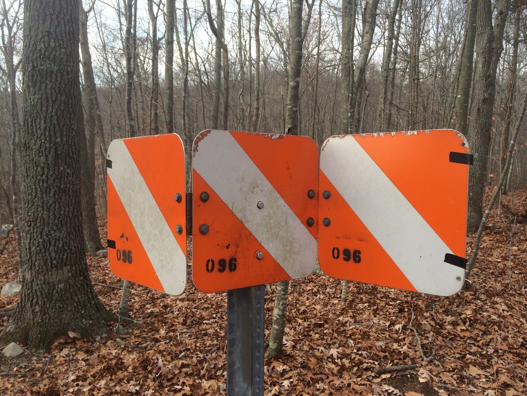
I passed the marker around the
4.0 mile point of our hike. From this
point, the Nayantaquit makes a hard right (south) and heads downhill. It crosses several woods roads and a brook
(there is a nice new footbridge).
Approximately 4.3 miles in, we reached the northern terminus of the Crossover Trail…
Approximately 4.3 miles in, we reached the northern terminus of the Crossover Trail…
|
|
Having skipped out on this trail earlier in the day, I had no choice but to cover it now. So, we made the right turn and followed the blue and yellow blazes...overly generally flat terrain...back over to
Brown Hill. Once there, we quickly
turned around and retraced our steps back to the north.
Roughly 5.7 miles in, we rejoined the main trail and started making our way back to the parking area…
Roughly 5.7 miles in, we rejoined the main trail and started making our way back to the parking area…
We passed through an area of what would've been
dense vegetation, if we were making this hike in the Spring or Summer instead of late Fall, and
eventually reached the end of the loop.
We made a left and followed the trail back to the parking area.
All in all, this was a nice hike. If you're looking for a nice woodsy hike to take on a cloudy day, I definitely recommend this trail. The elevations, as you can probably tell, aren’t overly challenging but they aren’t “easy” either. I found myself a little short of breath and sweating a bit as I made the climbs up Brown and Nickerson Hills. For a 6.3 mile hike, it was certainly more of a challenge than I originally anticipated.
Until next time...
For a map of this hike, along with elevation data, please click here.
Total 2014 Distance: 381.97
