Hike # 141
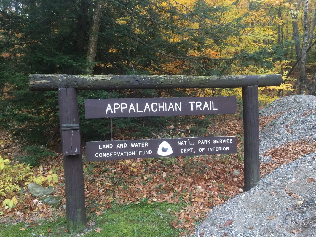
Appalachian Trail
Jug End Road (Egremont, MA) to Race Brook Falls Trail (Mount Washington, MA)
Direction of Travel: Southbound
Hike Distance: 11.8 Miles
Date Hiked: 10/24/2015
Date Published: 10/25/2015
The week before the hike described in this recap, on Hike #140, I made my way southbound along the Appalachian Trail from Race Brook Falls Trail to Sages Ravine. For this hike, I had a couple of options. Option A would be to park at the same trailhead for Race Brook Falls Trail and use it as an access trail again…turning north instead of south this time. Option B would be to drive a few more miles to Jug End Road and work my way southbound to connect back with Race Brook Falls Trail. I didn’t want to retrace my steps along Race Brook Falls Trail or add additional mileage to an already 10+ mile hike along the AT. So, I went with option B.
Follow Route 44 West to Route 7 North and enter Massachusetts. Turn left on Berkshire School Road then right on Route 41. Pass Berkshire School and turn left on Guilder Hollow Road. Guilder Hollow Road becomes Jug End Road. The parking location is on the left approximately 1.5 miles from the turn off of Route 41.
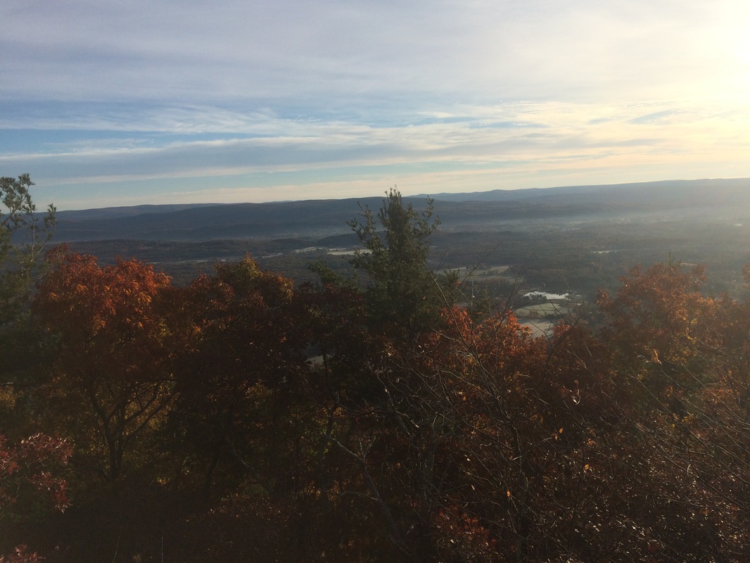
Approximately 2.0 miles in, I came to some more views, this time to the east and south…
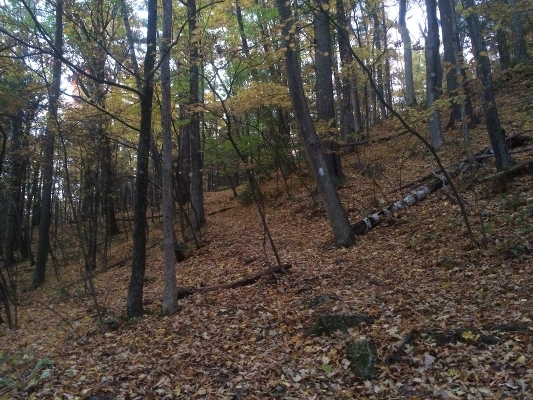
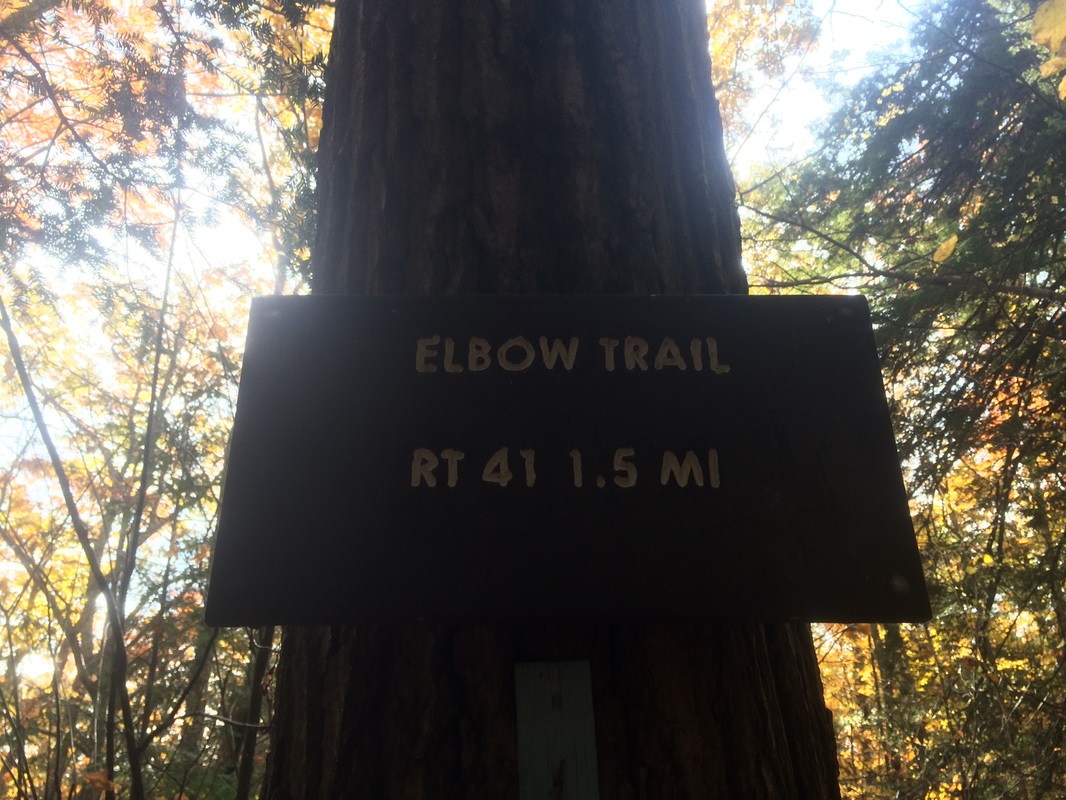
Roughly 3.0 miles in, I passed Elbow Trail on my left…
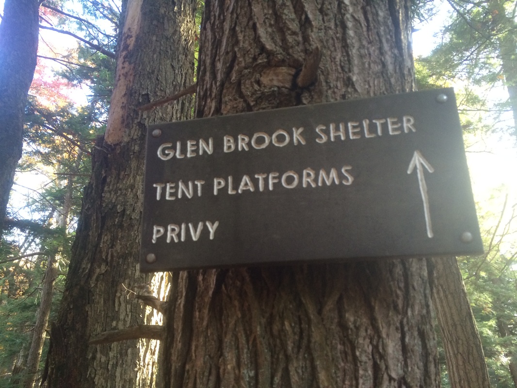
Approximately 3.7 miles in, I passed a side trail to Glen Brook Shelter on my left…

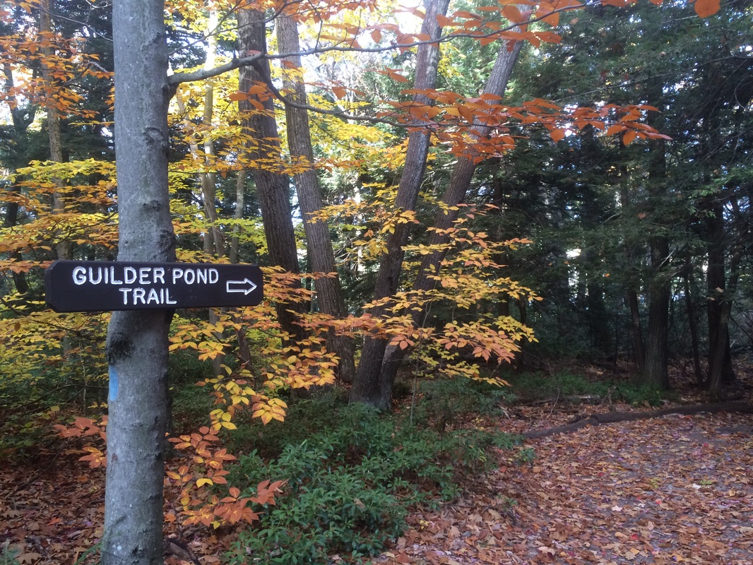
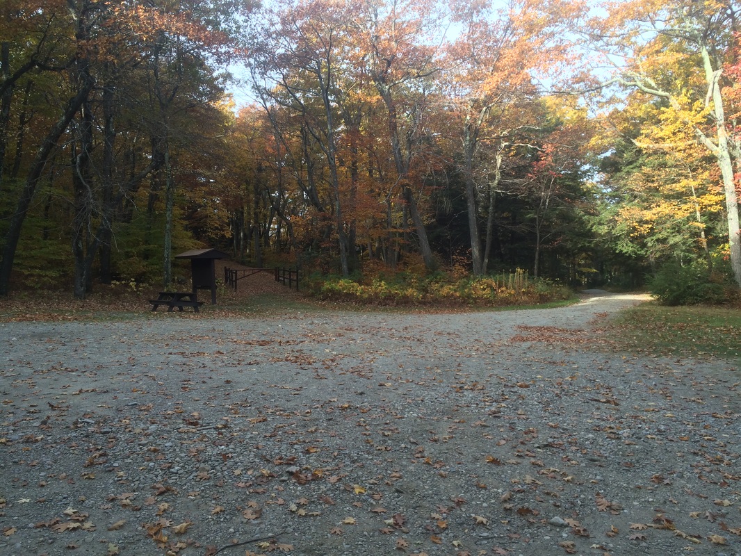
A few moments later, I passed through the Guilder Pond picnic area…

|
|
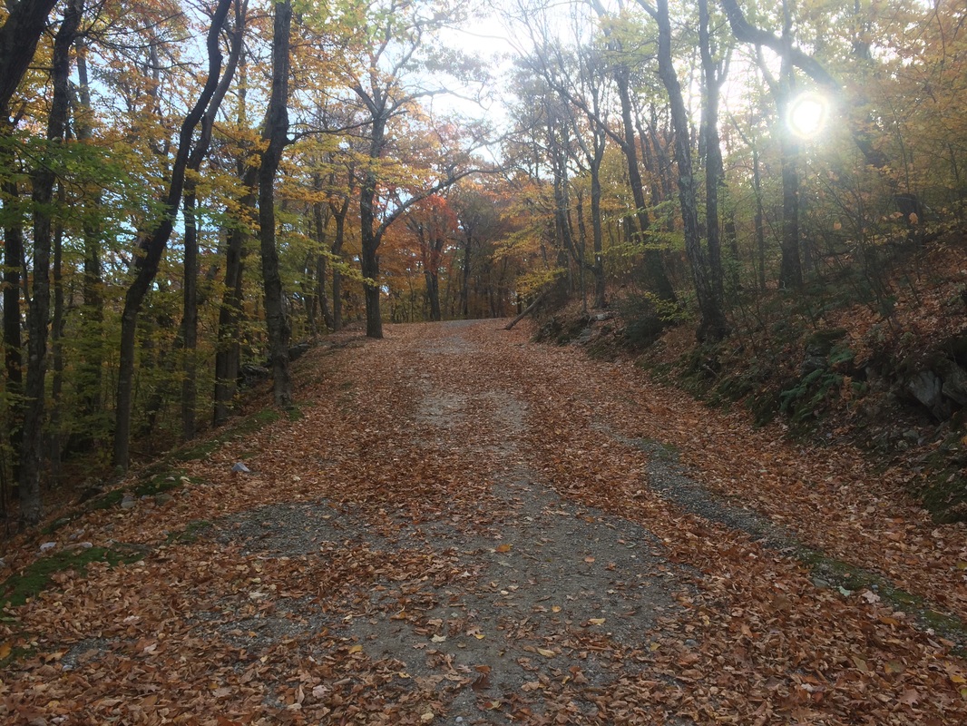
Approximately 4.3 miles in, as I was just starting my ascent to the summit of Mount Everett, I crossed the section of the old auto road which is now closed to vehicular traffic…
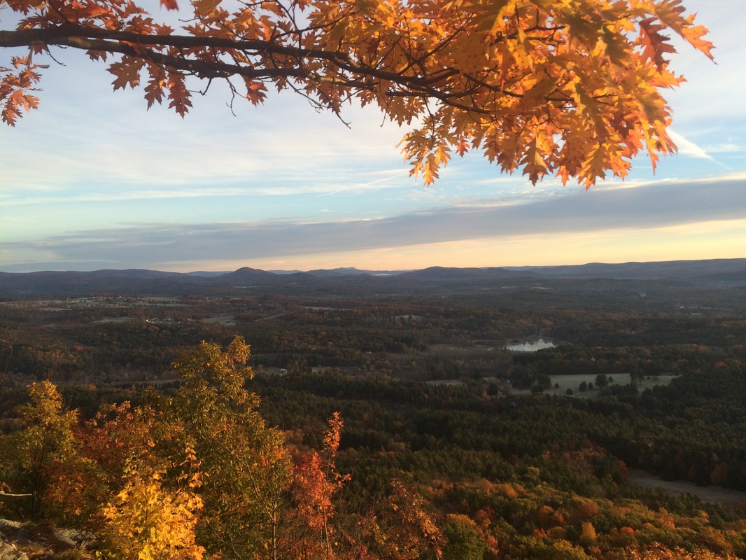
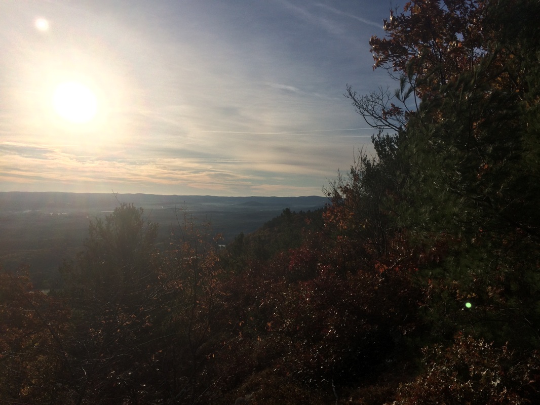
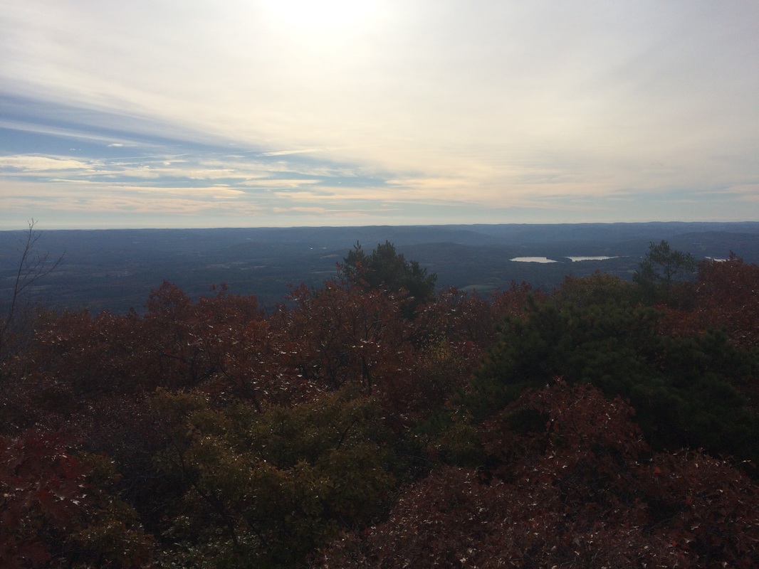
Roughly 4.9 miles in, I paused to take in some of the views near the summit…
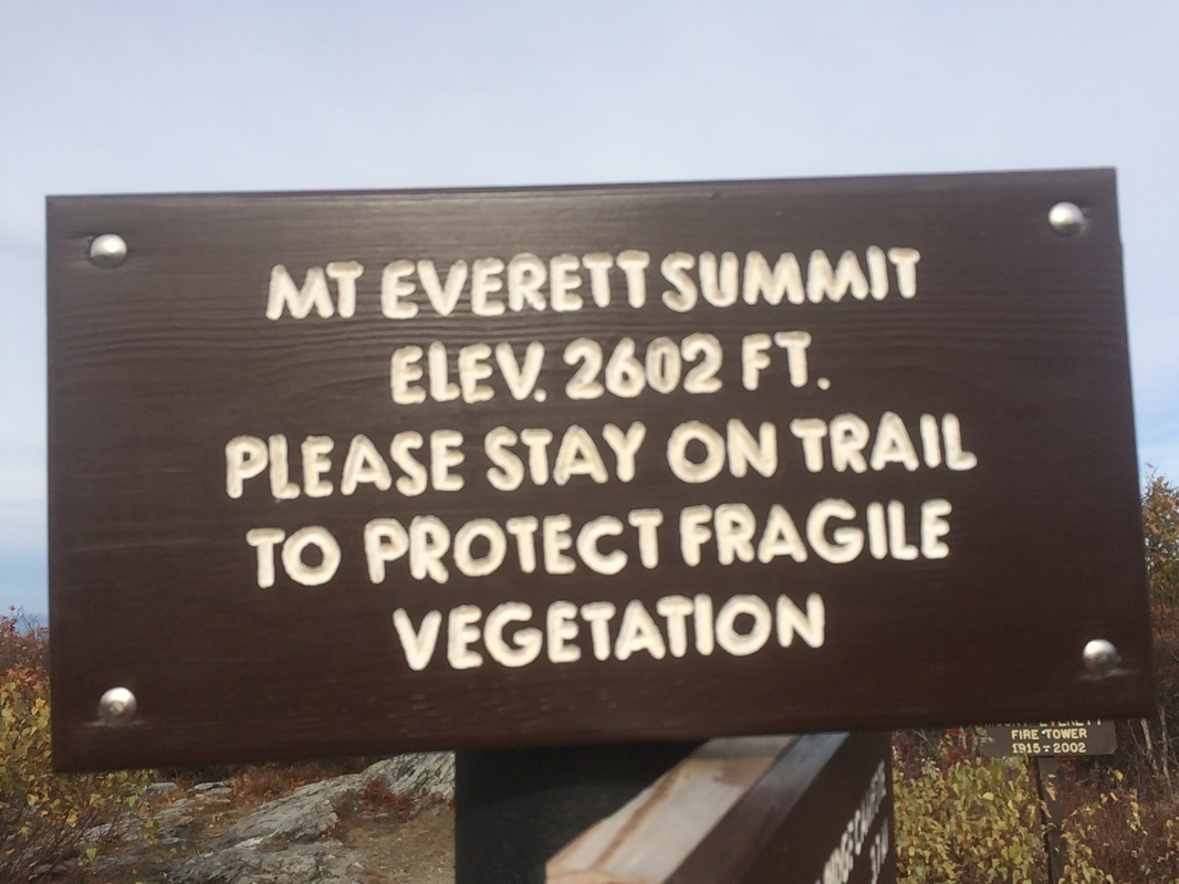
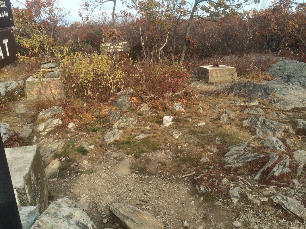
From 1915 to 2002, a 60 foot fire tower stood at this spot…
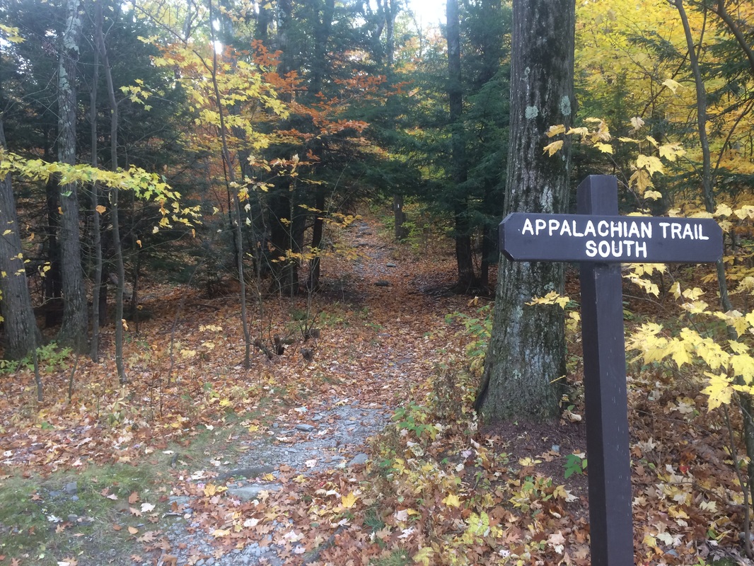
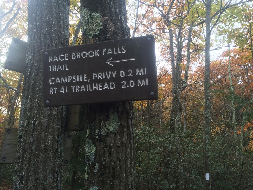
Approximately 5.9 miles in, after making the steep descent, I reached my pre-designated turn around point at Race Brook Falls Trail…
I paused to rehydrate before starting the journey back to my car.
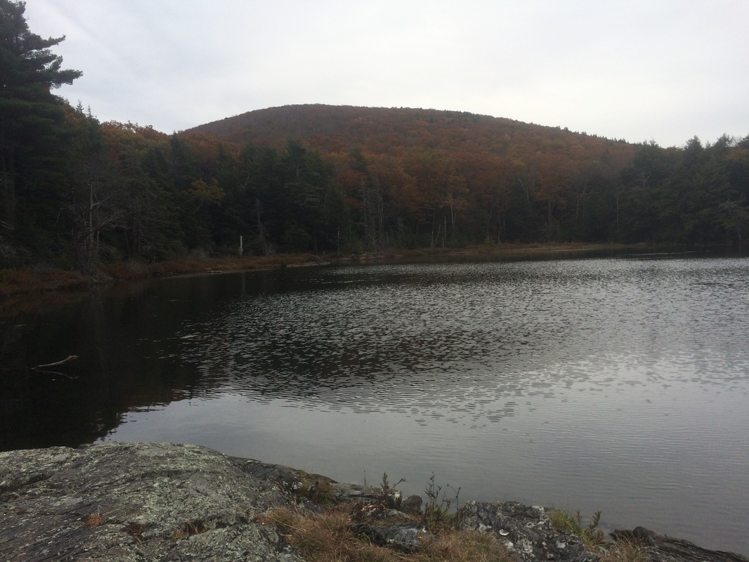
On the return trip, I shot a quick video of the area around the summit of Mount Everett (disregard my statements about the fires/vandalism and where the summit ranks in my peaks list, as they are incorrect). I also followed the Guilder Pond Trail and had lunch on a section of rocky shoreline. Once I was finished eating and before packing up to restart my return trip, I took a picture of a section of the pond with Mount Everett in the background…
Based on a quick internet search, I think the injury to my leg is patellofemoral pain syndrome…otherwise known as Runner’s Knee. I don’t believe it to be overly serious, but I’ll take it easy for the next few days (foregoing a local hike today) and see how it goes. Fortunately, with Jug End behind me, the next hike northbound on the AT from Jug End Road seems like a flat one. So, I should still be able to make that next hike after some rest this week.
Until next time…
For a map of my outbound trip and an elevation graph, please click here.
