Fit For a King
Hike #116
Chatfield Trail (Killingworth, CT)
Hike Distance: 8.66 Miles
Date Hiked: 11/30/2014
Date Published: 12/3/2014
Hike #116
Chatfield Trail (Killingworth, CT)
Hike Distance: 8.66 Miles
Date Hiked: 11/30/2014
Date Published: 12/3/2014
Note: The day before the hike described in this recap, I took
Roscoe to Gay City State Park in Hebron, Connecticut. While there, I re-hiked some of the trails
which I’ve previously recapped (Hikes #11 and 12). I’m not going to recap those trails again
here. However, that hike added 4.64
miles to my total for 2014, bringing my mile count to 386.61.
The day before Thanksgiving brought a couple of inches of wintery mix to Central Connecticut. The following day, as we were sitting down to turkey dinner, an extended family member reported about 10 inches in the northwest hills. Sadly, I had to accept that this would put my Appalachian Trail hikes on hold for the foreseeable future. No worries…I’ve always prided myself on developing back-up plans. So, I devised a plan which would take me (and Roscoe) to some new trails and allow for us to start our AT hikes again in the spring. If all works out the way I’ve planned, I might even get to complete the Connecticut section of the AT on my birthday…we’ll see. For now, we were up early and off to the town of Killingworth to see what we could find on the Chatfield Trail.
From the Walk Book:
The Chatfield Trail in Killingworth begins on the south side of Route 80, 0.3 mile west of Chatfield Hollow State Park entrance, and travels more than 4 miles to River Road. The trail offers a variety of terrain around large boulders, through crevasses, and under overhangs, as well as alternate trails over easier terrain.
Sounds like my kind of hike. I drove us down I-91 South to Route 9 South, through Middletown, and to exit 9. I made a right on Route 81 (south) and followed that to a rotary, where I picked up Route 80. Heading west on Route 80, I found the parking area on the south side of the road after passing Chatfield Hollow State Park.
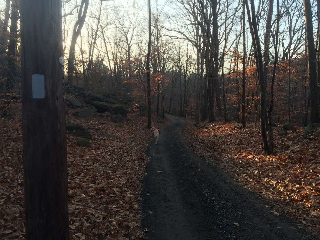
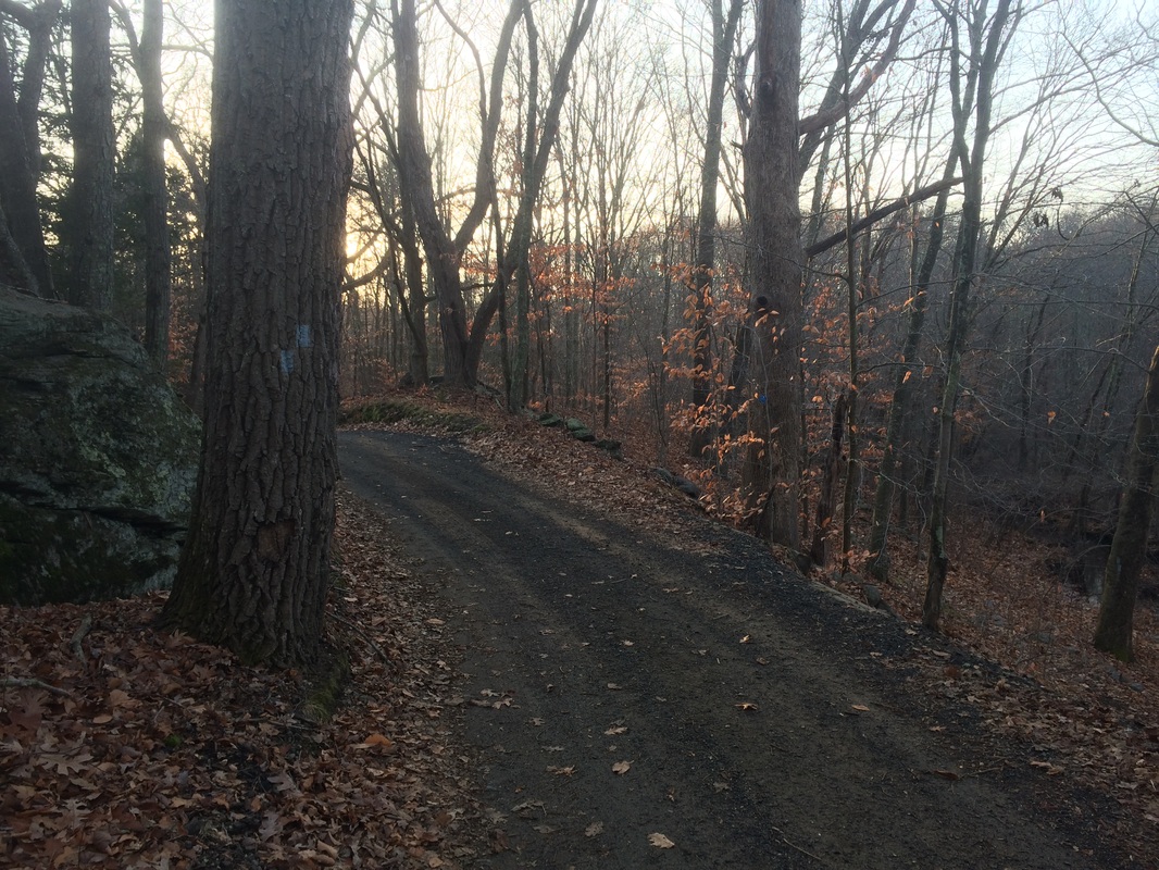
It was still dark when we arrived so we killed some time while I wondered if this was the correct parking location. Come to find out, it was the right spot described in the Walk Book version I have. But, the “official” northern trailhead has moved…most likely to allow for additional parking…closer to the entrance of Chatfield Hollow State Park. Luckily, there were still blue blazes to be found where I parked. So, I would be able to follow the trail exactly as it was described in the Walk Book version I have. I geared up and, as dawn was breaking, we hit the trail…heading due south on what the Walk Book calls the “Old Road”.
We only followed the road for about 300 feet before I saw a turn blaze, indicating we should turn left…
The day before Thanksgiving brought a couple of inches of wintery mix to Central Connecticut. The following day, as we were sitting down to turkey dinner, an extended family member reported about 10 inches in the northwest hills. Sadly, I had to accept that this would put my Appalachian Trail hikes on hold for the foreseeable future. No worries…I’ve always prided myself on developing back-up plans. So, I devised a plan which would take me (and Roscoe) to some new trails and allow for us to start our AT hikes again in the spring. If all works out the way I’ve planned, I might even get to complete the Connecticut section of the AT on my birthday…we’ll see. For now, we were up early and off to the town of Killingworth to see what we could find on the Chatfield Trail.
From the Walk Book:
The Chatfield Trail in Killingworth begins on the south side of Route 80, 0.3 mile west of Chatfield Hollow State Park entrance, and travels more than 4 miles to River Road. The trail offers a variety of terrain around large boulders, through crevasses, and under overhangs, as well as alternate trails over easier terrain.
Sounds like my kind of hike. I drove us down I-91 South to Route 9 South, through Middletown, and to exit 9. I made a right on Route 81 (south) and followed that to a rotary, where I picked up Route 80. Heading west on Route 80, I found the parking area on the south side of the road after passing Chatfield Hollow State Park.
It was still dark when we arrived so we killed some time while I wondered if this was the correct parking location. Come to find out, it was the right spot described in the Walk Book version I have. But, the “official” northern trailhead has moved…most likely to allow for additional parking…closer to the entrance of Chatfield Hollow State Park. Luckily, there were still blue blazes to be found where I parked. So, I would be able to follow the trail exactly as it was described in the Walk Book version I have. I geared up and, as dawn was breaking, we hit the trail…heading due south on what the Walk Book calls the “Old Road”.
We only followed the road for about 300 feet before I saw a turn blaze, indicating we should turn left…
We made the turn and it
wasn’t long before we reached the junction where the old trail (the trail I was
following) connected with the new trail (which comes in from the northeast). The two trails, now joined as one, quickly
brought us to the first highlight of the day…this cliff overlooking Foster
Pond…
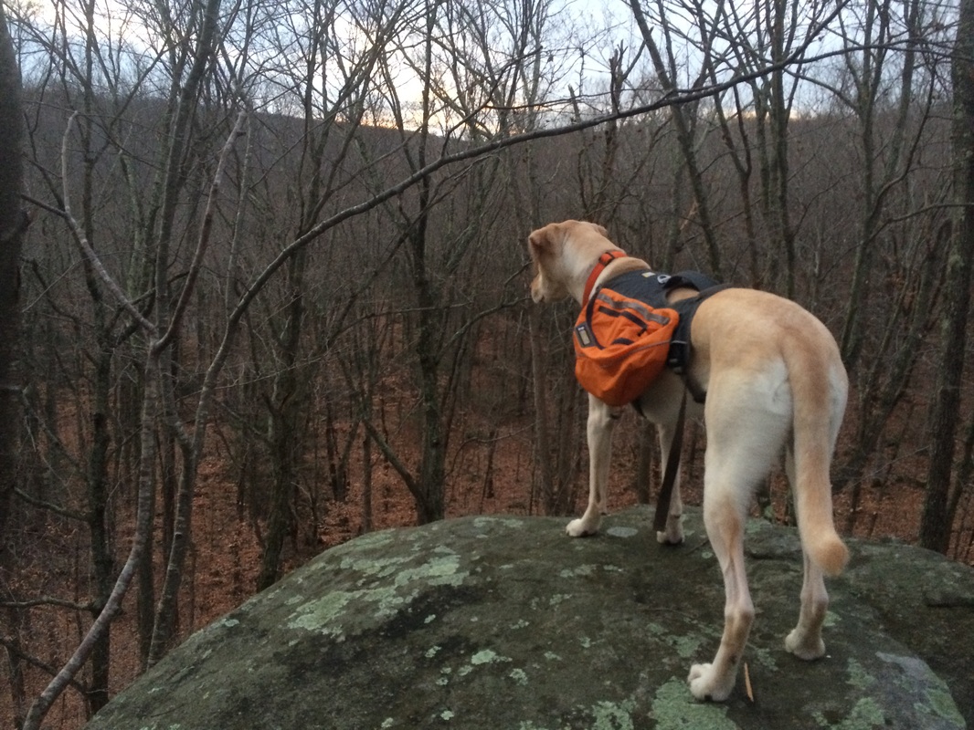
As you might be able to tell
from the picture, the sun wasn’t quite up yet.
It would be another 10 minutes or so before sunrise and I didn’t want to
wait. So, we didn’t linger on this cliff
for very long. The trail descends along the
base of the cliff, over some ledges, and…roughly 7/10 of a mile in…brought us
to the base of a different large cliff, which the Walk Book describes as a 40-foot
cliff…
The Walk Book also notes
this section is usually wet and slippery, but I didn’t find it to be
overwhelming…even with the recent precipitation. All the same, I would encourage caution
through this section.
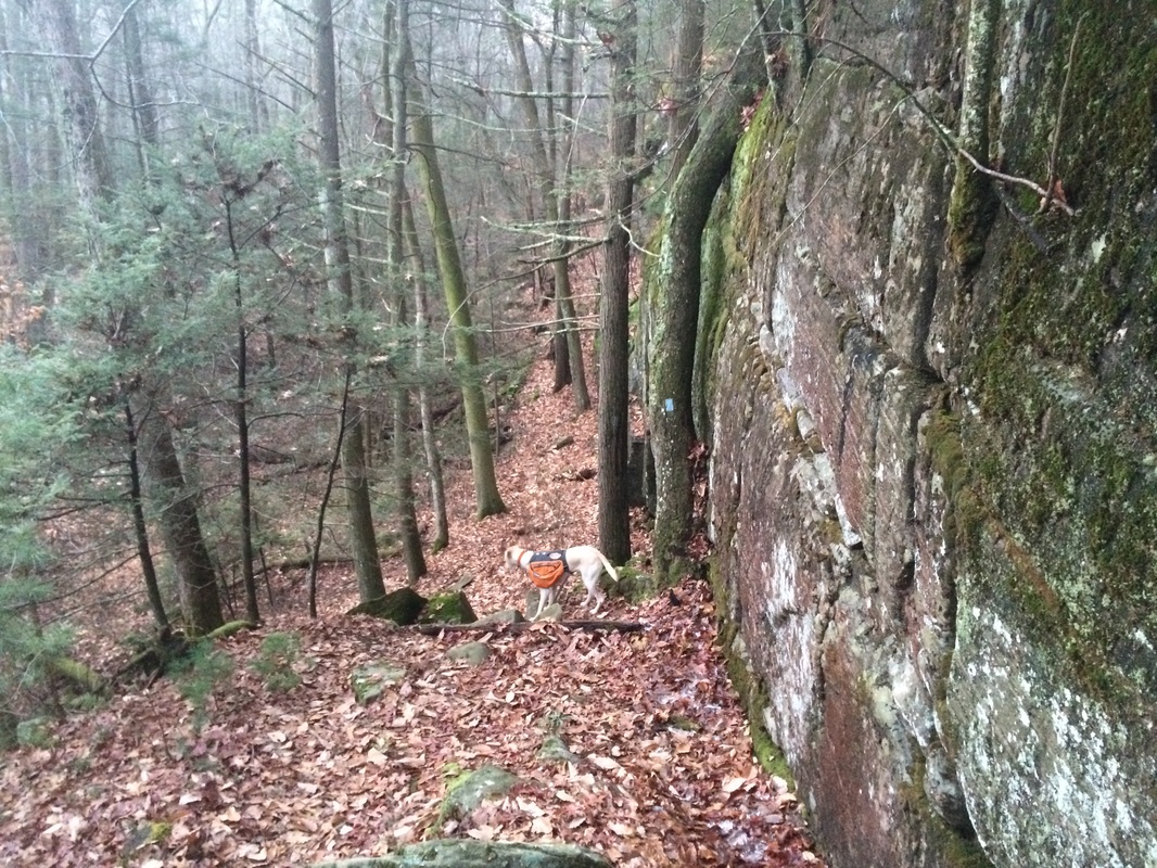
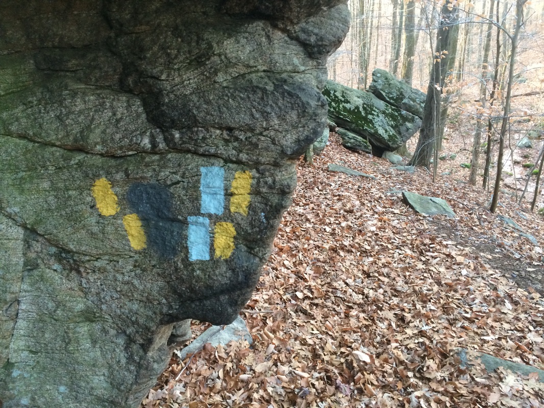
Approximately 1.3 miles in, we reached a series of boulders and overhangs which required some…but not a lot of…technical skill. The Walk Book notes this section can be bypassed on a short, unmarked, but somewhat obvious side trail to the left. You’ll know you’re in the right spot when you see this “boulder crawl” section…
Approximately 1.3 miles in, we reached a series of boulders and overhangs which required some…but not a lot of…technical skill. The Walk Book notes this section can be bypassed on a short, unmarked, but somewhat obvious side trail to the left. You’ll know you’re in the right spot when you see this “boulder crawl” section…
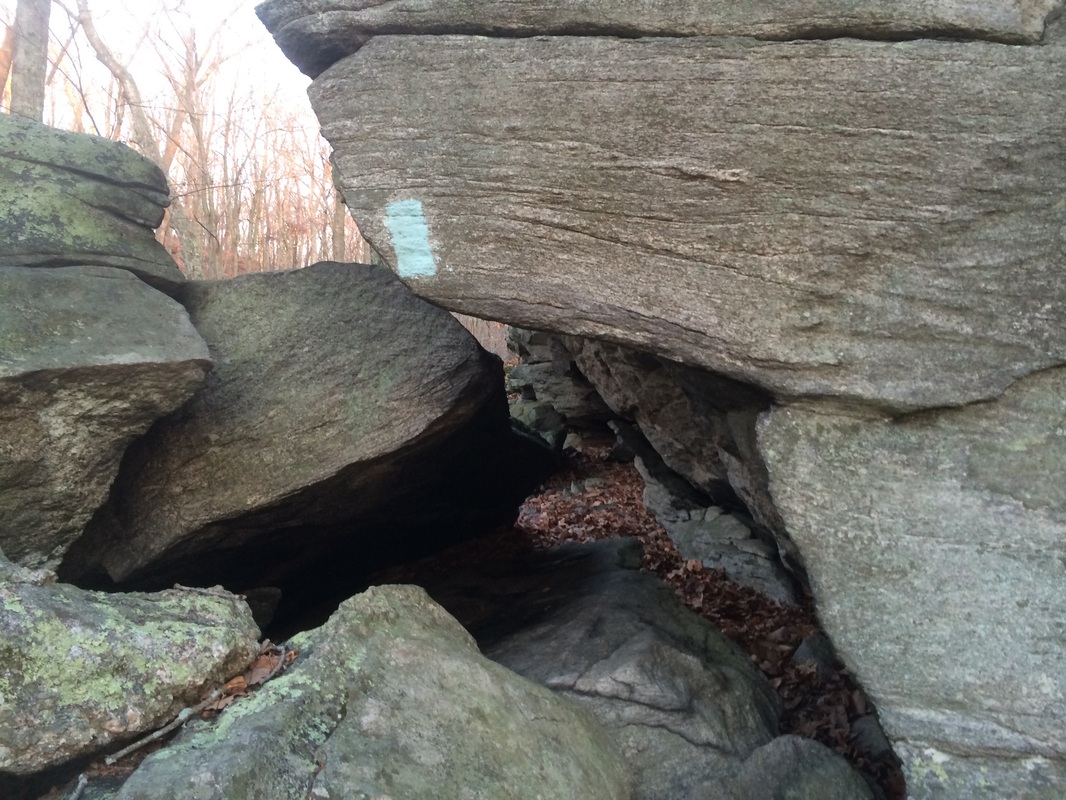
I’m proud to report my 6’2”
270 pound frame was able to squeeze through here. Once through the technical section, the trail
brought us back to what the Walk Book map indicates is the “Old Road”, but it
isn’t as obvious here that this was once an old road. Regardless, the trail makes a hard left turn and
begins heading due south again.
Roughly 1.7 miles in, we passed the northern terminus of the Chatfield Alternate Trail on our right…
Roughly 1.7 miles in, we passed the northern terminus of the Chatfield Alternate Trail on our right…
I planned to explore the alternate
trail later in my hike. So, we made a
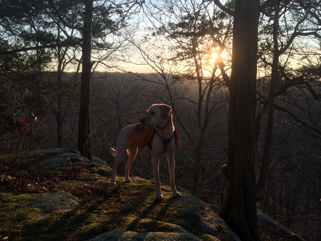
left and continued following the “Old Road” section of the main tail. It wasn’t long before the trail left the “Old
Road” behind and we found ourselves on top of another cliff overlook. It was at this spot I took the picture of
Roscoe at the top of this recap. Again,
we descended to and along the base of the cliff. A short while later, we reached the top of
another cliff, overlooking Champlin Road, and descended to the road...but not
before I lost the trail (I missed a switchback) and added a few extra steps to
this hike. Keep your eyes peeled for the
turn blaze in this section.
Approximately 2.2 miles in, we reached Champlin Road…
Approximately 2.2 miles in, we reached Champlin Road…
|
|
Here, the main trail and the
alternate trail converge again, at the southern terminus of the alternate trail. I still wasn’t quite ready to explore that
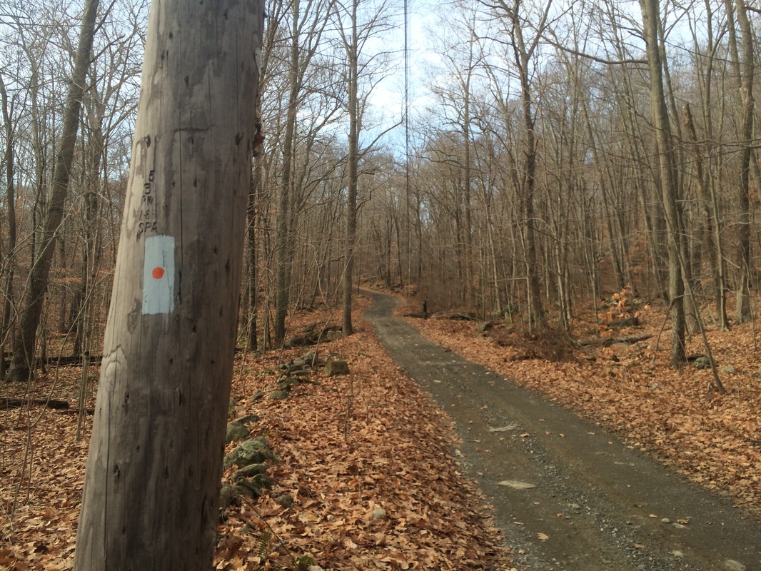
trail, opting to save it for the hike back to the car later. So, we made a left and followed Champlin Road. Note: the Walk Book map for this next section
makes it look as if the Chatfield Trail runs parallel to the road, but it
actually follows it, as indicated by the blazes on the utility poles…
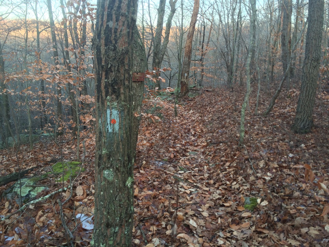
Roughly 2.4 miles in, the
trail turns right and leaves the road…
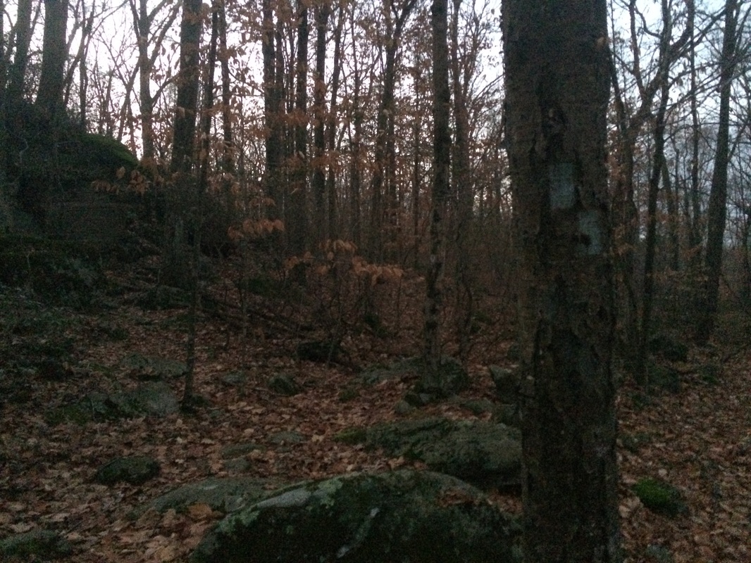
At this point, the trail
skirts private property so be sure to watch for blazes and stay on the trail. Also, this next section follows an old woods
road which…in some spots…can be a little muddy.
From the Walk Book:
The word “corduroy” is derived from the French “Cords du Roi” or “logs of the king.” In the late eighteenth Century, when the rainy season left wagon roads muddy, rutted, and virtually impassable, French peasants were required to spring ahead of the king’s coach, quickly lining the twin wheel ruts with logs. The woods had been pre-cut in the forest to four-foot lengths and stacked at intervals along the road-side, ready to use at a moment’s notice. Placed side-by-side for hundreds of feet, the cordwood logs created dry track for the wagon wheels, a new base sturdy enough for the king and his entourage to travel on safely. This same technique was used by the early Royal Mail Coaches in England, and as American colonists began to explore lands further west, they used their own brawn for the same purpose. Today many of CFPA’s volunteer Trail Managers use corduroy to bring hikers across seasonally wet or muddy sections of the Blue-Blazed Hiking Trails.
Approximately 3.1 miles in (2.7 per the Walk Book), we passed by a narrow vertical crack in the base of a cliff which the Walk Book calls “Fat Man’s Squeeze”…
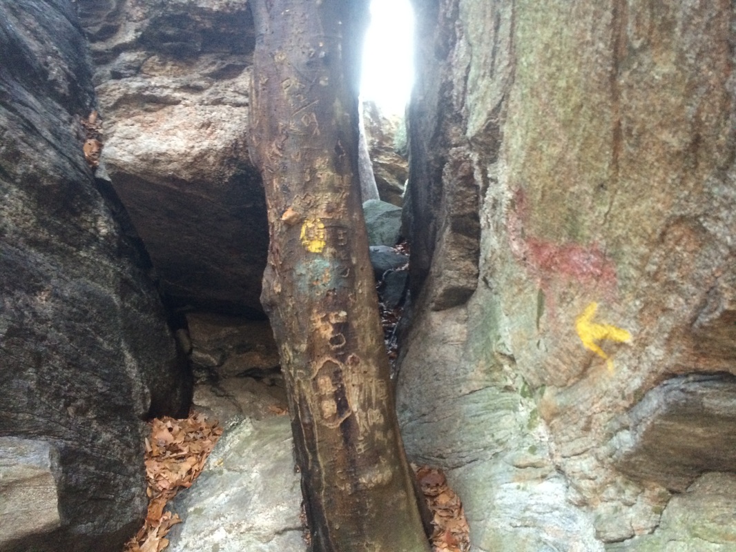
It looks as if maybe, at one
time, hikers were required to squeeze their way through this crack. But, the trail now skirts around the
cliff. I was tempted to try it out,
Roscoe even gave it more than just a passing glance, but we still had some miles
ahead of us. So, we continued on our
way.
Roughly 3.5 miles in, we passed Deer Lake Campground…
Roughly 3.5 miles in, we passed Deer Lake Campground…

The campground, situated on a 253
acre property, is owned and operated by the Connecticut Yankee Council. It is home to a “Learning for Life” program,
sponsored by the same Connecticut Yankee Council, which allows boys and girls
to gain knowledge of nature and the environment while having fun in the great
outdoors.
Approximately 4.2 miles in (3.9 per the Walk Book), we reached Paper Mill Road and crossed Chatfield Hollow Brook on a bridge…
Approximately 4.2 miles in (3.9 per the Walk Book), we reached Paper Mill Road and crossed Chatfield Hollow Brook on a bridge…
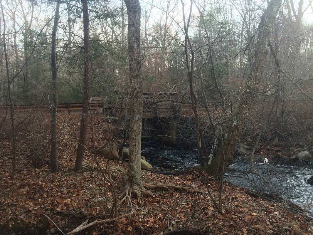
On the other side of the
bridge, the trail turns right and follows along the brook. Eventually, the trail ascends from the brook
and continues along a high bank.
Roughly 4.6 miles in (4.3 per the Walk Book), we reached the southern terminus of the Chatfield Trail at River Road…
Roughly 4.6 miles in (4.3 per the Walk Book), we reached the southern terminus of the Chatfield Trail at River Road…
From here, we turned around and started
our journey back to where we left the car.
But, along the way, I didn’t exactly stick to the trail. There were some technical sections, just off
trail; back near “Fat Man’s Squeeze” I wanted to check out. I had fun exploring and even took a minute to
successfully attempt “Fat Man’s Squeeze”, although I had to tie Roscoe to a
tree and remove my pack in order to guarantee our safety. This was a lot of fun and I encourage you to
explore this section if you have time.
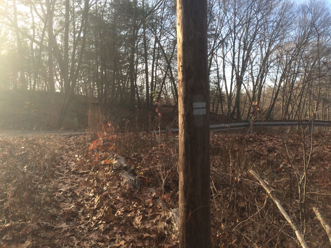
Approximately 7.4 miles in, having returned to the southern terminus of the Chatfield Alternate Trail at Champlin Road, I decided to stay straight…still following the road…and follow that trail. Look for the blue-orange blazes on utility poles like in the picture below…
Approximately 7.4 miles in, having returned to the southern terminus of the Chatfield Alternate Trail at Champlin Road, I decided to stay straight…still following the road…and follow that trail. Look for the blue-orange blazes on utility poles like in the picture below…
Roughly 7.5 miles in, the
alternate trail left the road and we reentered the woods…
The Walk Book describes this
section as “interesting” and I think that is an adequate description. It isn’t as challenging as the portion of the
main trail which runs through this same section of forest, but it isn’t exactly
easy hiking either. As “alternate”
trails go, this is one of the best I’ve experienced.
Approximately 8.1 miles in, we reached the northern terminus of the alternate trail. We made a left and started following the main trail again. After about 1/10 of a mile, now back on the “Old Road” section of the main trail, I decided to stay straight where the main trail turns right. The Walk Book actually describes this section of the “Old Road” as a separate trail. I’m not 100% sure if this is required hiking for the CT400, but I also wasn’t willing to risk skipping out on it. The path, while not blazed, was easy to follow and it was a more direct route back to the car.
All in all, this was a very nice hike. It reminded me that, even though the Appalachian Trail is the king of all trails when it comes to hiking in Connecticut, the other blue-blazed trails in our state should not be so quickly dismissed. They each seem to have their own charm and challenges.
Until next time…
For a map of this hike, along with elevation data, please click here.
Total 2014 Distance: 395.27
