Ledges
Tunxis Trail (Burlington Region, Part 2)
Hike # 95
Hike Distance: 11.75 Miles
Date Hiked: 4/5/2014
Date Published: 4/18/2014
Tunxis Trail (Burlington Region, Part 2)
Hike # 95
Hike Distance: 11.75 Miles
Date Hiked: 4/5/2014
Date Published: 4/18/2014
Here,
I stand on the edge of the ledges I’ve made…
Looking for a steady hand…
Here, I stand in the land of the rocks in the valley…
Trying to be a better man…for you.
“Ledges” by Noah Gundersen
Looking for a steady hand…
Here, I stand in the land of the rocks in the valley…
Trying to be a better man…for you.
“Ledges” by Noah Gundersen
The title of this recap comes partly from the most
recent single by a favorite musician of mine, Noah Gundersen. If you are a fan of the FX series “Sons of
Anarchy”, you’re at least somewhat familiar with his music. That is how I was
introduced to his talent. The music department
for “Sons” has used his work quite a bit over the seasons. The title also comes from the fact that, on
our first true hike since I returned to Connecticut from Florida, Roscoe and I
spent a good portion of our day along the Mile Of Ledges that make up a part of
this section of the mainline Tunxis.
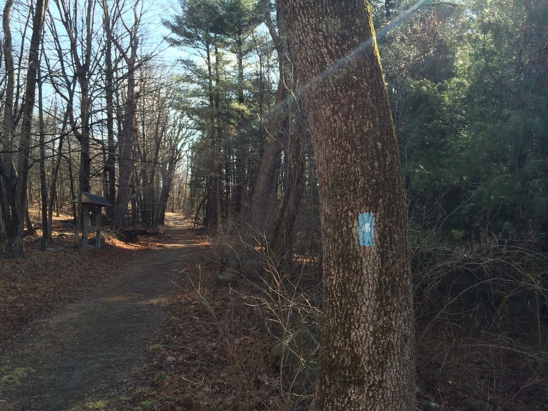
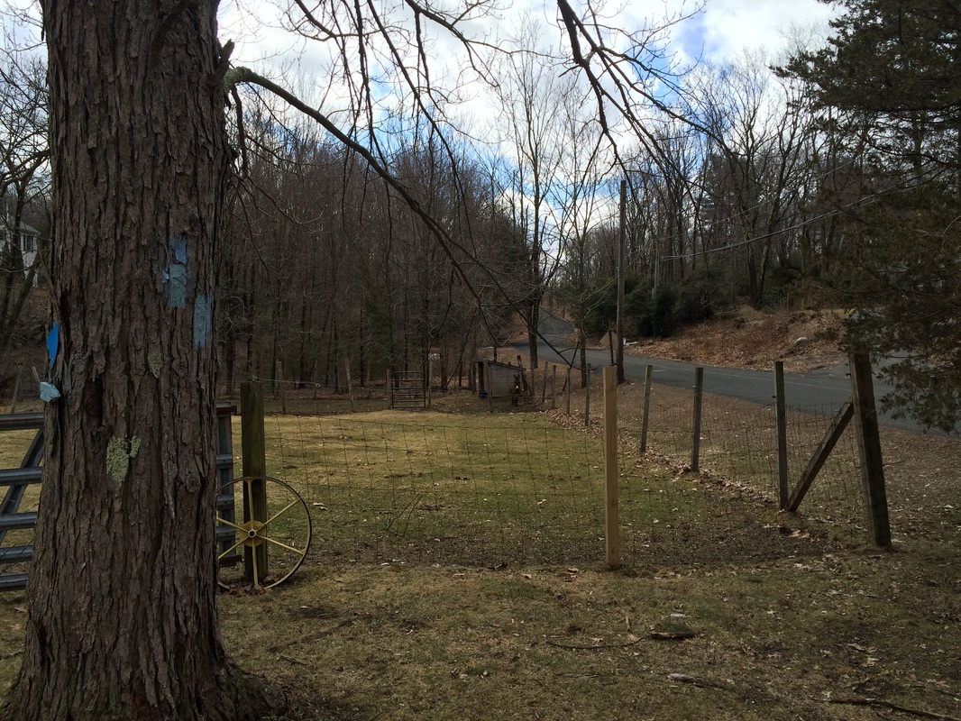
I started this round with the Tunxis by parking at the parking location I discovered last time, off of East Plymouth Road in Plymouth, where the White Dot Trail turns off of the road and passes a wooden gate. By parking in this location, I was cutting out the first 8/10 of a mile of the Burlington section of mainline trail. I wasn’t too worried about it, since I already completed that 8/10 of a mile on my last Tunxis hike. I would still end up retracing some of my steps from that previous hike. But, a total of 1.6 miles (out and back total) is a huge chunk to be able to cut out…particularly when this hike includes the Mile of Ledges, which the Walk Book advertises as the "most rugged section of the entire Tunxis Trail System."
After parking, I geared up and we were on our way. We started by following the White Dot Trail due west for about 1/10 of a mile. It was a beautiful day and forecasts accurately predicted it was only going to get better.
Soon, we came to the area where the mainline Tunxis
comes in from the right. Although we
continued heading straight, still following the same old woods road, we were now following
the Tunxis mainline...you'll note how the blazes no longer carry the white dot in the middle.
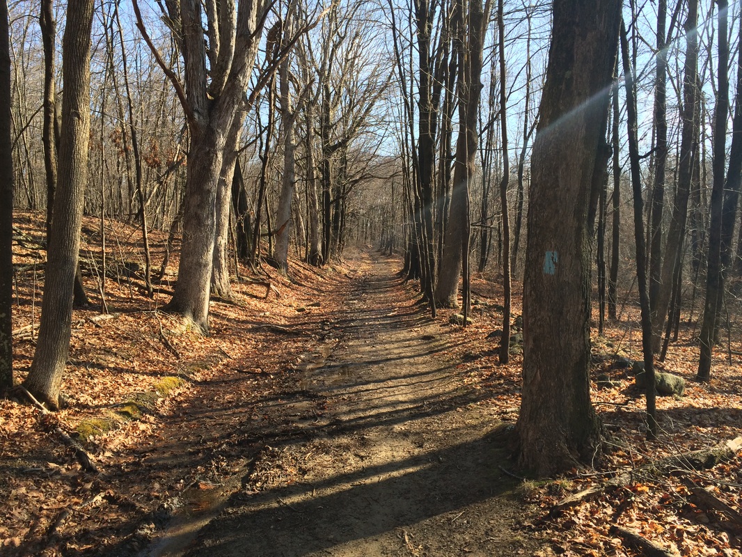
The next 7/10 of a mile were familiar to us. So, we just kept following the old woods road
as we made our way to the area of the junction with the Yellow Dot Trail. Those of you who read through my last Tunxis
recap might recognize the Yellow Dot Trail as the trail which lead us to Tory
Den. If you didn’t read through that
recap, I encourage you to check it out as it includes a cool piece of local
history. For this hike, however, we made
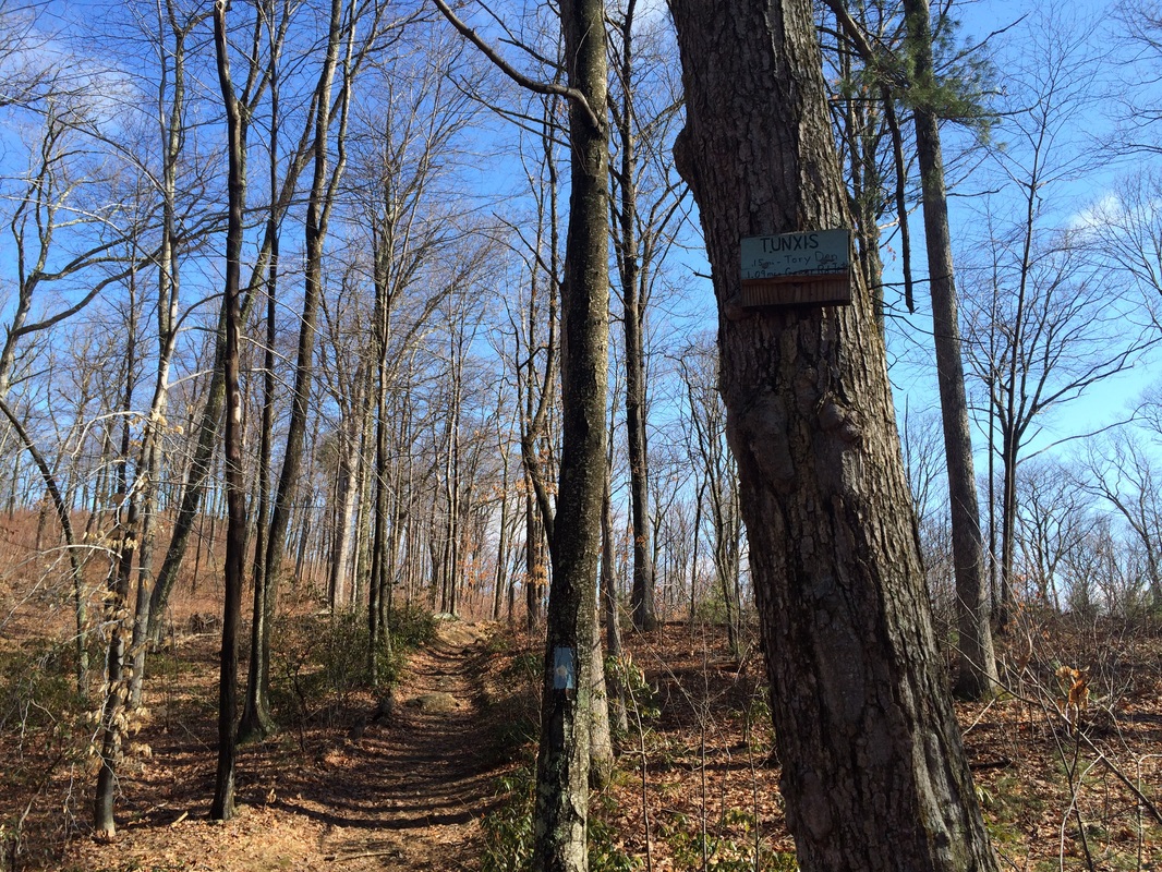
a hard right turn to stay on the mainline when we came to the junction
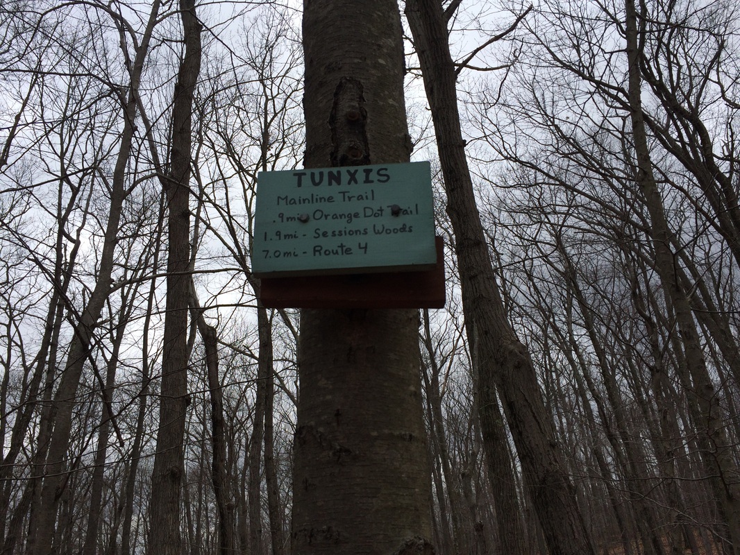
(look for the sign below and turn right).
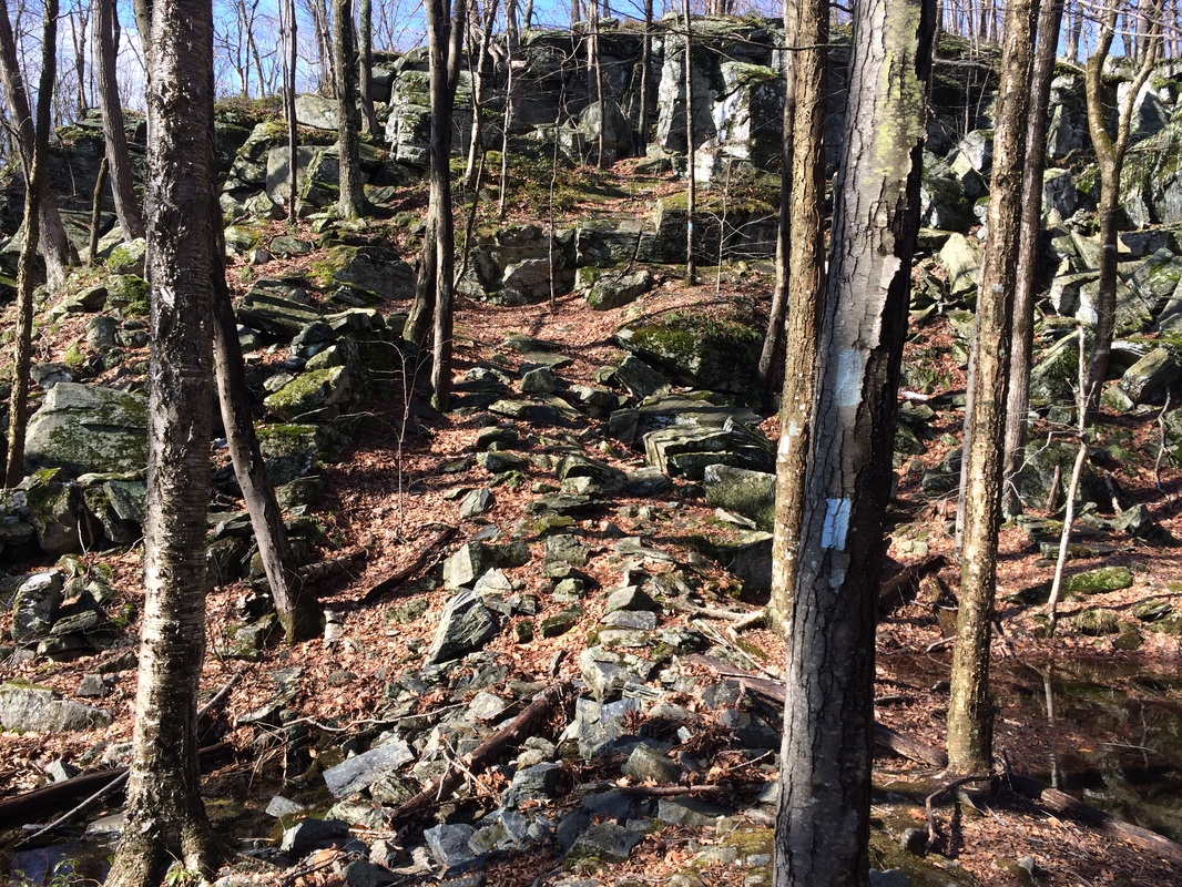
It didn’t take long after making the turn before we were
entering the Mile of Ledges. I was very
concerned as we approached the area. I had previously read the Walk Book and
a few other hiking blogs which led me to believe the Walk Book’s statement that
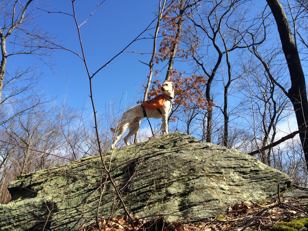
this truly is the “most rugged section of the entire Tunxis Trail System.” Roscoe let me know he was ready by
unnecessarily climbing to the top of a rock formation before we even got to the
rugged section.
The Mile of Ledges does not mess around. Right away we scaled the wall of a short, yet
rocky, canyon/ravine. Pretty much every
rock in this section is flat, smooth, and positioned in a way that all but
guarantees a fall. Complicating matters
was the fact that I decided to do this hike after it rained overnight. There’s a bit of irony for you. I avoided this section because of possible icy
conditions last time and look where it got me.
Naturally, I fell and bruised my knee pretty good. It wasn’t anything too serious, but it sure
made the remaining miles (of which there were quite a few) of this hike interesting.
Descending from the canyon/ravine, we came to an old stone dam. I took a picture here, at the bottom of the canyon/ravine, but I was more focused on the incline than on the fact that the dam walls used to be about 20 feet high. Most of the rocks are gone now, but you get the impression of just how massive this dam used to be.
Descending from the canyon/ravine, we came to an old stone dam. I took a picture here, at the bottom of the canyon/ravine, but I was more focused on the incline than on the fact that the dam walls used to be about 20 feet high. Most of the rocks are gone now, but you get the impression of just how massive this dam used to be.
We continued to make our way through the Mile of Ledges,
scaling several technical sections (Roscoe working his way around a few of them), until we eventually came to a sort of dead end…in the middle of a split in this
massive rock formation, which is what I believe the Walk Book refers to as Bear’s Den.
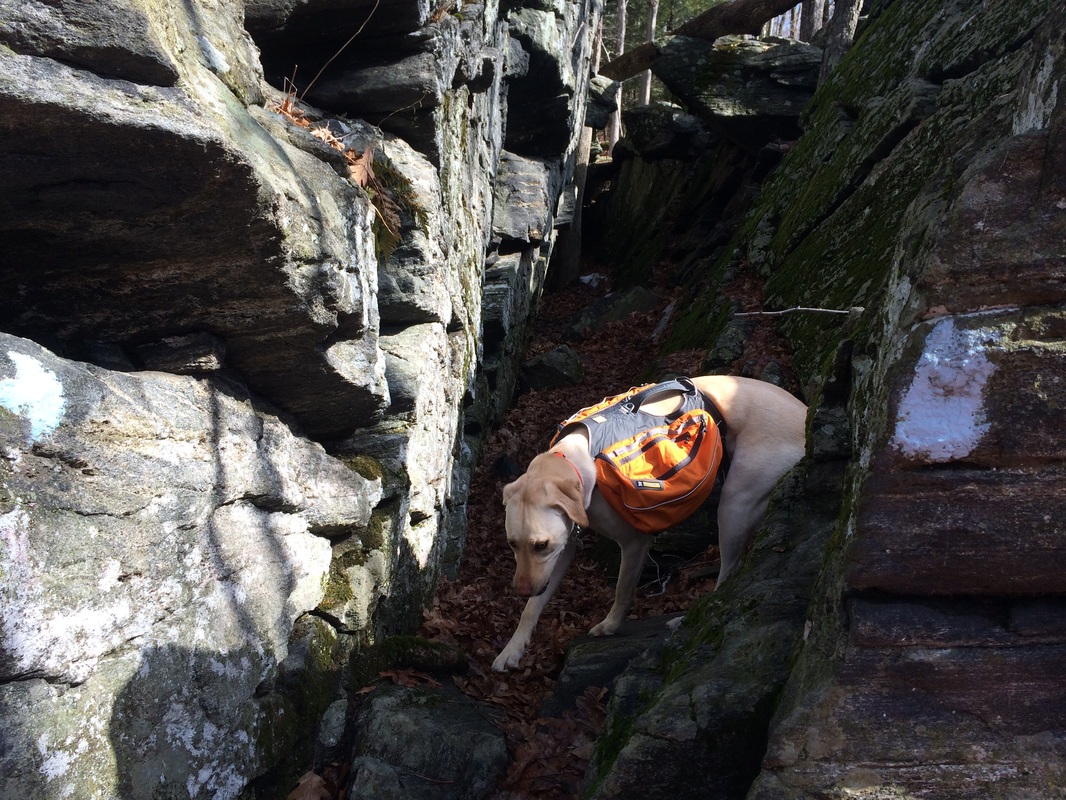
On the way out, I wasn’t unable to determine where
exactly the trail went at the end of this split.
As it turns out, it makes a hard right turn near the back of the "den" and follows a set of natural
stairs up the right side of the rock.
There was no way Roscoe was going to be able to tackle this thing. So, I decided I would hit it up on the way
back…tying him to a tree for a few moments while I made sure to complete the
section.
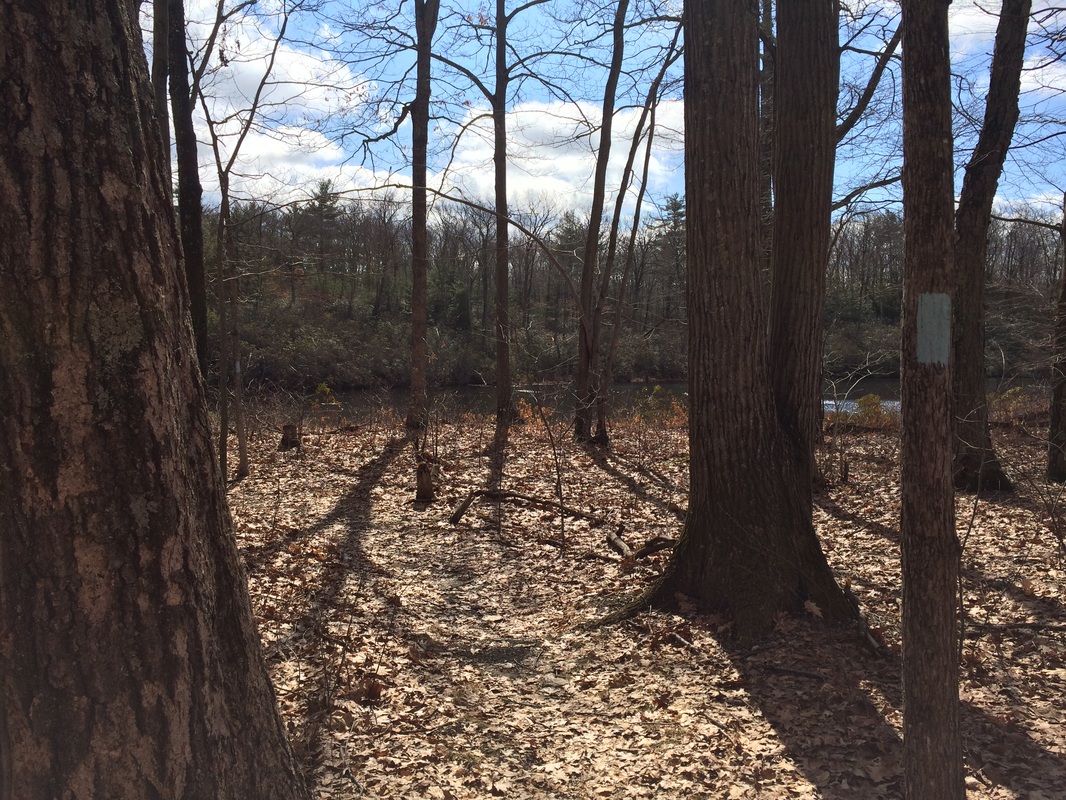
For now, this was the end of the really challenging stuff in the Mile of Ledges. There were still a few ups and downs but we had survived our first encounter with the “most rugged section of the entire Tunxis Trail System.” And, the trail eventually flattened out as we made our way towards Greer Road. Before we reached the road, however, the trail brought us to within several feet of a pond, seen in the background of the picture below.
For now, this was the end of the really challenging stuff in the Mile of Ledges. There were still a few ups and downs but we had survived our first encounter with the “most rugged section of the entire Tunxis Trail System.” And, the trail eventually flattened out as we made our way towards Greer Road. Before we reached the road, however, the trail brought us to within several feet of a pond, seen in the background of the picture below.
The Walk Book distances list Greer Road at 3 miles
from the Marsh Road trailhead, which meant it should’ve been about 2.2 miles
from where I started my hike. However,
due in part to some back and forth along the technical parts of the Mile of
Ledges, I found Greer Road to be at a distance of about 2.9 miles. I’m not certain what accounts for the additional
difference in mileage, but I seriously doubt I did 7/10 of a mile worth of back
and forth. Regardless, we found Greer
Road and turned right to continue following the trail as it shares a stretch
with the road.
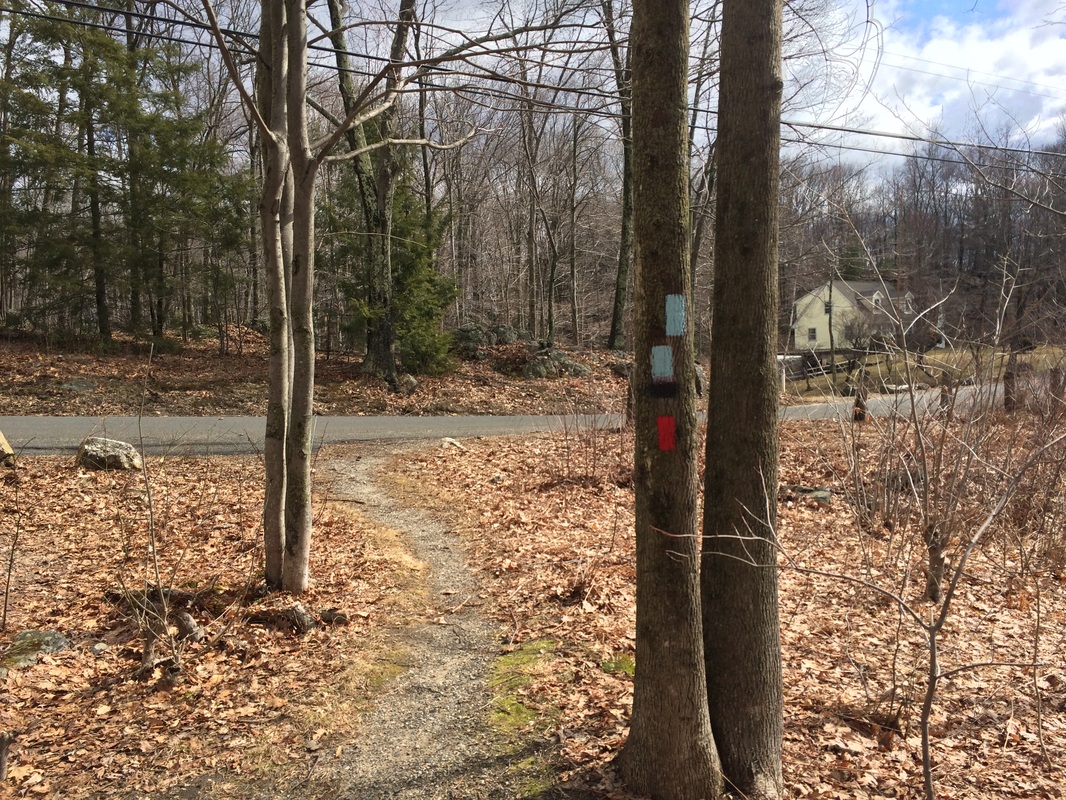
The trail follows Greer Road for roughly 2/10 of a mile
before crossing West Chippens Hill Road.
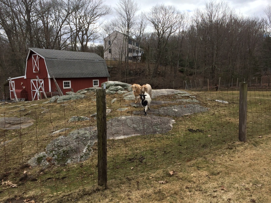
Here, it follows a private driveway around the perimeter of a fence. On the way out, I noticed a small donkey (see if you can find him in the first pic below). And, on the way back later, I saw some goats.
Leaving the driveway behind, we passed a small pond and
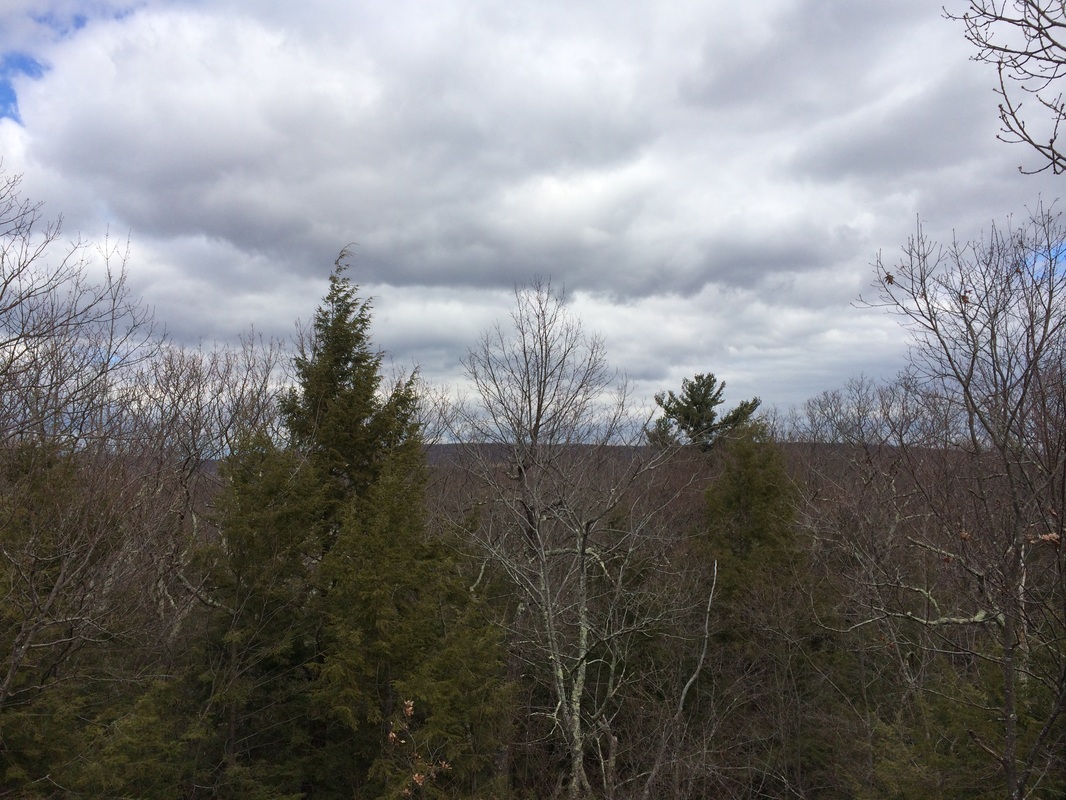
made our way up to Hemenway Lookout (elevation: 785 feet). I was a little disappointed by the “view”,
but we did meet up with a couple of other hikers here and it was nice to chat
with them for a bit.
We found descending from Hemenway Lookout a little
difficult. I had a hard enough time
myself with the slippery rock switchback near the lookout. But, Roscoe really struggled…to the point of
not wanting to even follow me. So, I
grabbed him by the handle on the back of his pack and basically carried him
down far enough until he was comfortable enough to walk on his own. I’m becoming a real pro at carrying him
around like luggage.
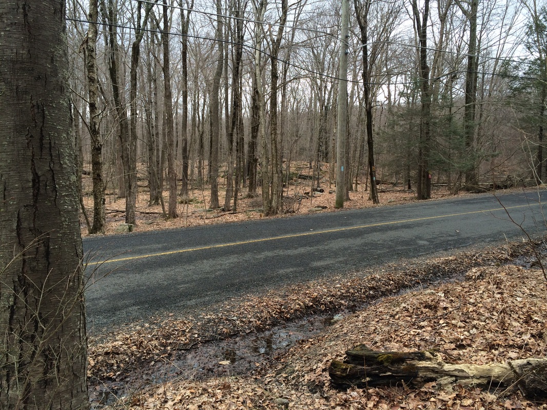
Roughly 3/10 of a mile after we left Hemenway Lookout behind, we crossed East Chippens Hill Road.
Roughly 3/10 of a mile after we left Hemenway Lookout behind, we crossed East Chippens Hill Road.
Shortly after crossing the road, we came to a trail
junction. Here, the blue/black-blazed
Nature Center Connector Trail…which leads 2.5 miles to the Barnes Nature Center…heads
off to the right (southeast).
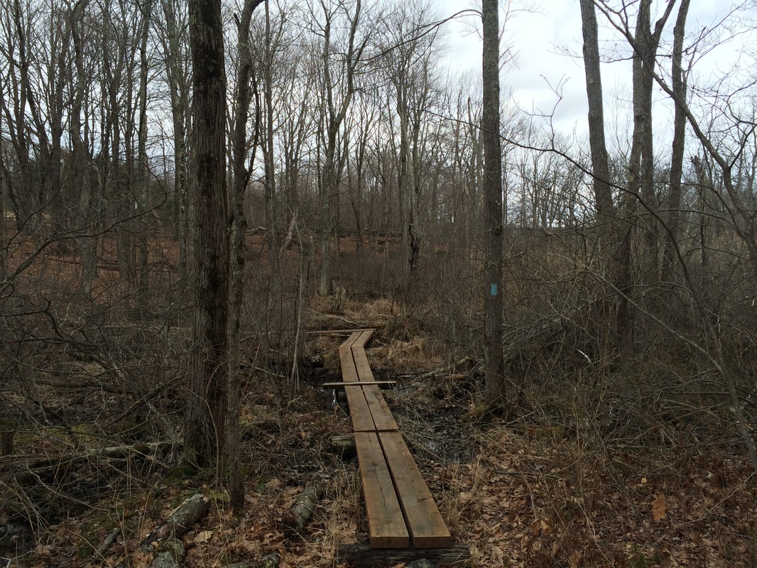
Leaving the Nature Center Connector behind, we stayed on
the mainline trail…now paralleling East Chippens Hill Road. A short while later, we reached and crossed a
marsh on these boards.
Approximately 9/10 of a mile after crossing East
Chippens Hill Road, we reach another trail junction. This time, it was the blue/orange-blazed
Orange Dot Trail…which leads north from here.
The next mile of trail brought us to Session Woods
Wildlife Management Area. I wasn’t
quite sure what to expect when we got here, but I knew it wouldn’t be overly challenging
because I’ve heard it is a popular area.
And, my experience has been that the more popular areas are less challenging. For example, I later passed a family with a
stroller…so, there ya go.
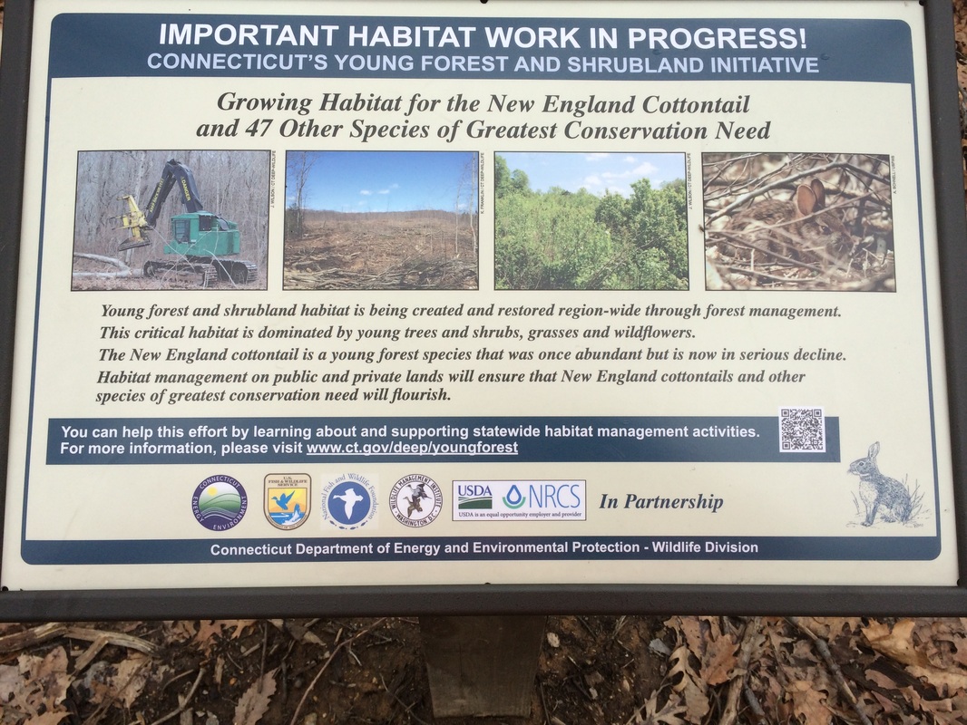
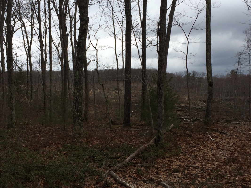
One thing I did find particularly interesting was a habitat area which was being cleared for the New England Cottontail. Those of you close to Jaci and I know that we have a soft spot in our hearts for cottontails, because of what has become an annual event at our house involving their young. I don’t know what makes these guys decide that our backyard is a suitable place to raise young rabbits…particularly with Roscoe on the loose…but they LOVE our backyard. I would bet our house that, in the coming weeks, we will spend a lot of time and effort making sure the bunnies are safe from Roscoe, the lawnmower, and anything which might cause them harm. I was happy to see that something is being done to protect them in an area away from developed neighborhoods.
One thing I did find particularly interesting was a habitat area which was being cleared for the New England Cottontail. Those of you close to Jaci and I know that we have a soft spot in our hearts for cottontails, because of what has become an annual event at our house involving their young. I don’t know what makes these guys decide that our backyard is a suitable place to raise young rabbits…particularly with Roscoe on the loose…but they LOVE our backyard. I would bet our house that, in the coming weeks, we will spend a lot of time and effort making sure the bunnies are safe from Roscoe, the lawnmower, and anything which might cause them harm. I was happy to see that something is being done to protect them in an area away from developed neighborhoods.
Shortly after the cottontail habitat effort, we came to a gravel
path and made a left turn to follow it.
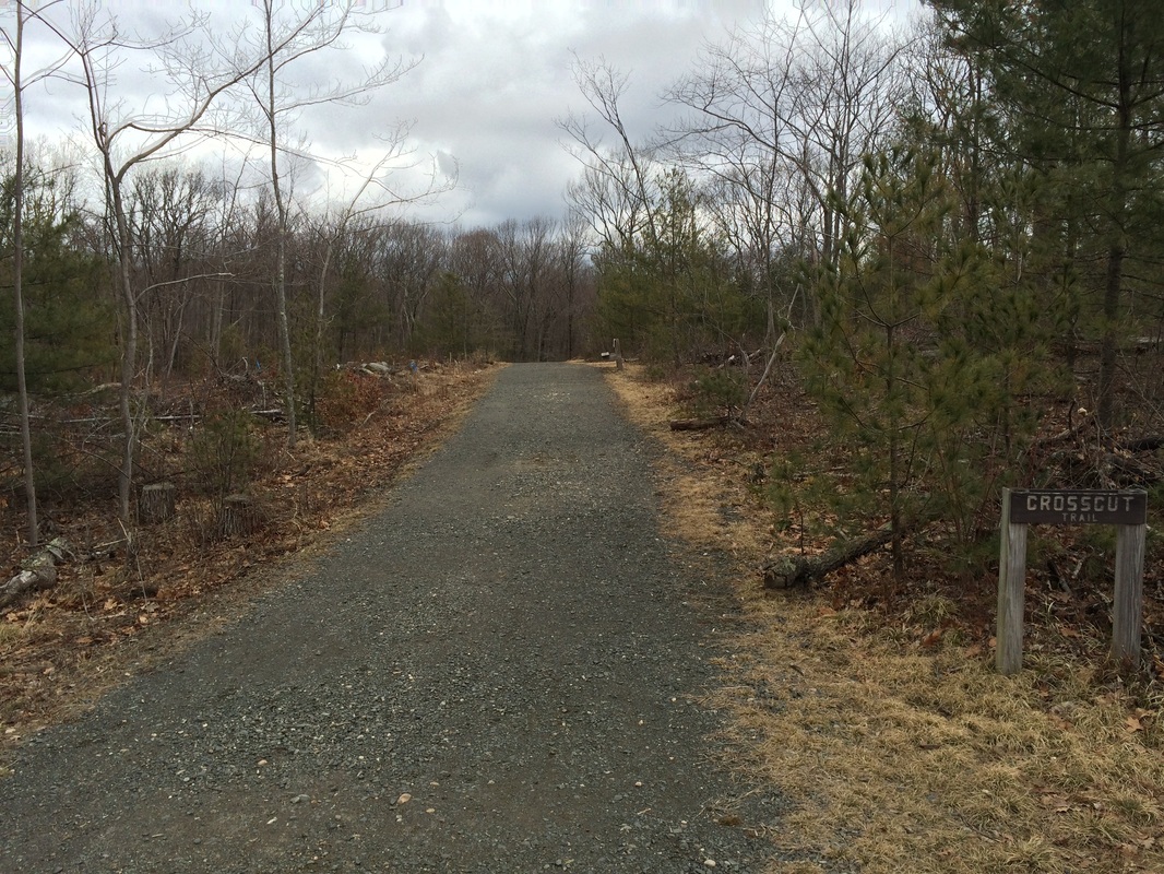
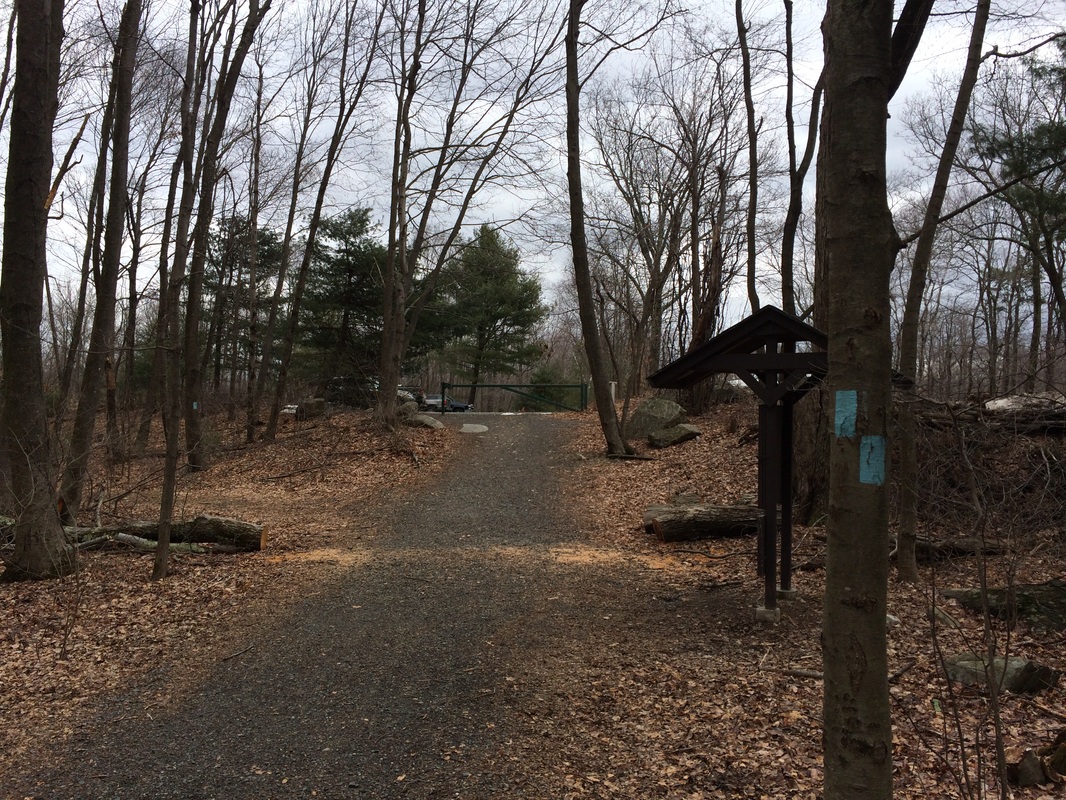
We followed the gravel path until we reached the parking
lot near Sessions Woods Education Center.
This was my pre-determined turn around point…and I was surprised to find
we had travelled almost 6 miles (I thought it would be closer to 4.9 miles).
With no time to complain about the additional mile+ of distance,
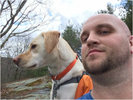
we turned around and started making our way back to East Plymouth Road. Along the way, we stopped to rest on Hemenway
Lookout and I took some selfies of us. I
also made sure to hit up the extra technical section I had bypassed earlier in the day.

|
|
For a map of this hike, along with elevation data, please click here.
Total 2014 Miles: 179.85 (includes a 7.04 mile hike up Case Mountain on 4/2, which wasn't worthy of a separate recap)
