Let It Snow, Let It Snow, Let
It…Snow?
Hike #119
Pequot Trail
Milton Green Memorial Park (Preston, CT) to Shewville Road (Ledyard, CT)
Direction of Travel: Southbound
Hike Distance: 8.54 Miles
Section Distance (Per CFPA Walk Book): Approximately 3.6 Miles
Date Hiked: 12/21/2014
Date Published: 12/22/2014
Hike #119
Pequot Trail
Milton Green Memorial Park (Preston, CT) to Shewville Road (Ledyard, CT)
Direction of Travel: Southbound
Hike Distance: 8.54 Miles
Section Distance (Per CFPA Walk Book): Approximately 3.6 Miles
Date Hiked: 12/21/2014
Date Published: 12/22/2014
Prior to this hike, I'd
decided to continue working on the Pequot Trail. When I woke up on the morning of the hike, I
was delighted to see a light snowfall had accumulated in central Connecticut overnight. As I made the drive down to the trail, which
is closer to the shoreline, it was still snowing in some towns but raining in
others. When I originally left the house, I was excited about the
possibility of hiking in the snow. Now, I was concerned I wouldn’t get to.
After my hike last week (heading Northbound from Milton Green Memorial Park to Route 165 in Preston), I had only a 3.6 mile section of the Pequot left to cover. Assuming the southern terminus of the trail was still at Shewville Road, I thought I would be able to bang this hike out and get home in time to see the Packers game. If you browsed through my last recap, you might recall the Walk Book notes about the plans to extend the southern terminus of the trail. I never did find any additional information on that topic so I'd have to see what I could find on my own.
Last week, to reach the parking area, I followed Route 2 through Norwich. After hitting every light in downtown Norwich, even at 6am on the weekend, I decided to take a different drive this week to reach the parking area. This time, I left Route 2 (just before the freeway ends) and took I-395 South. From there, I followed the signs for Route 2A, making several turns after crossing the Thames River, until I reached the field.
As we geared up and hit the trail (setting out on the same road walk from the start of my last Pequot hike), I found it was actually snowing. It was a very light snow, but it WAS snowing!!!
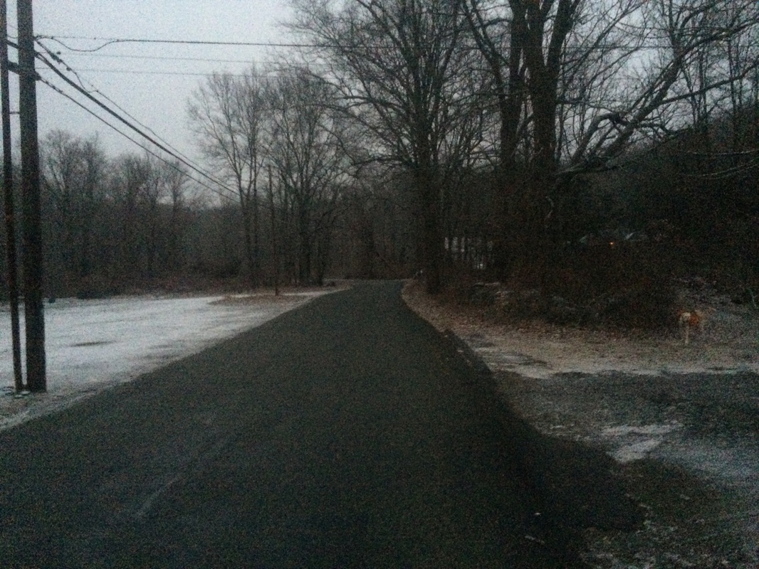
Last week, I followed the road (Lincoln Park
Road) for almost a full mile. This week,
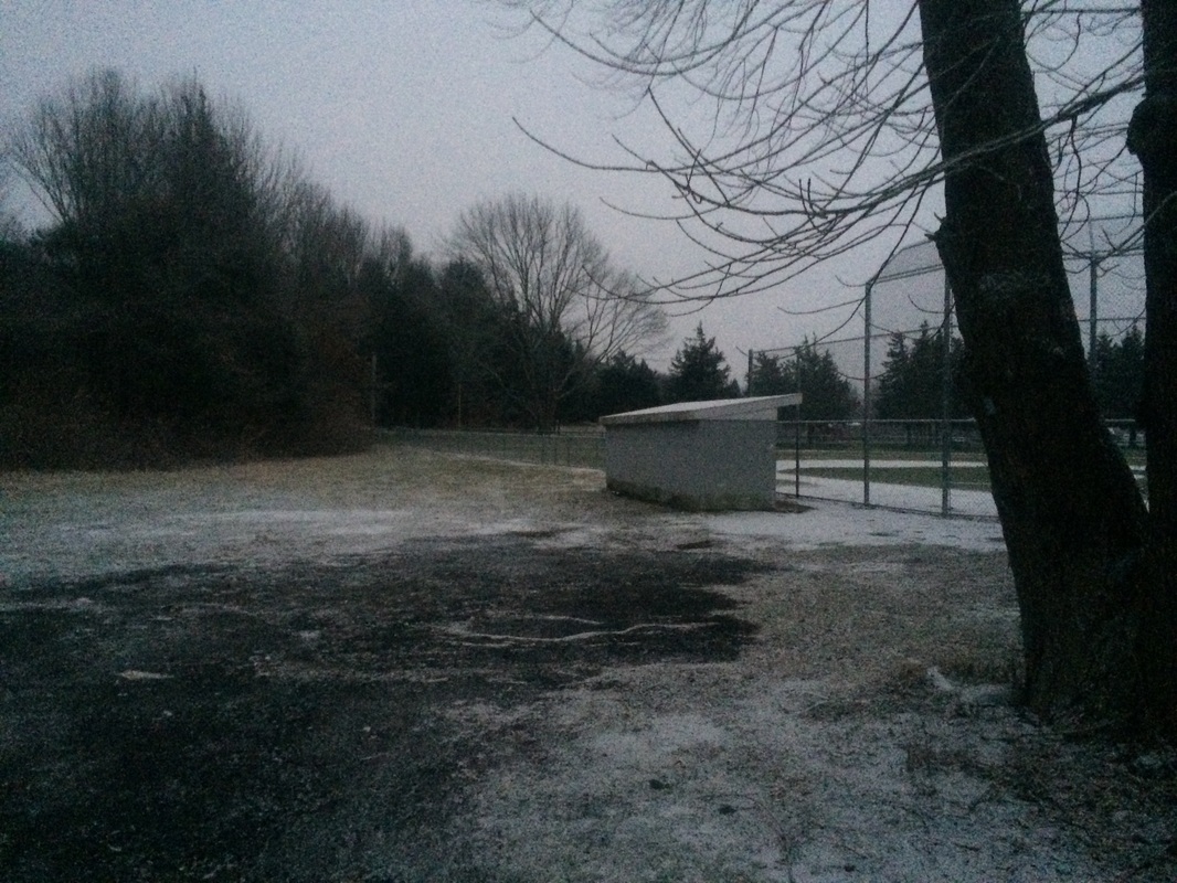
we quickly made a right turn and followed the blue blazes by the third base
side of one of the other ball fields in the park…
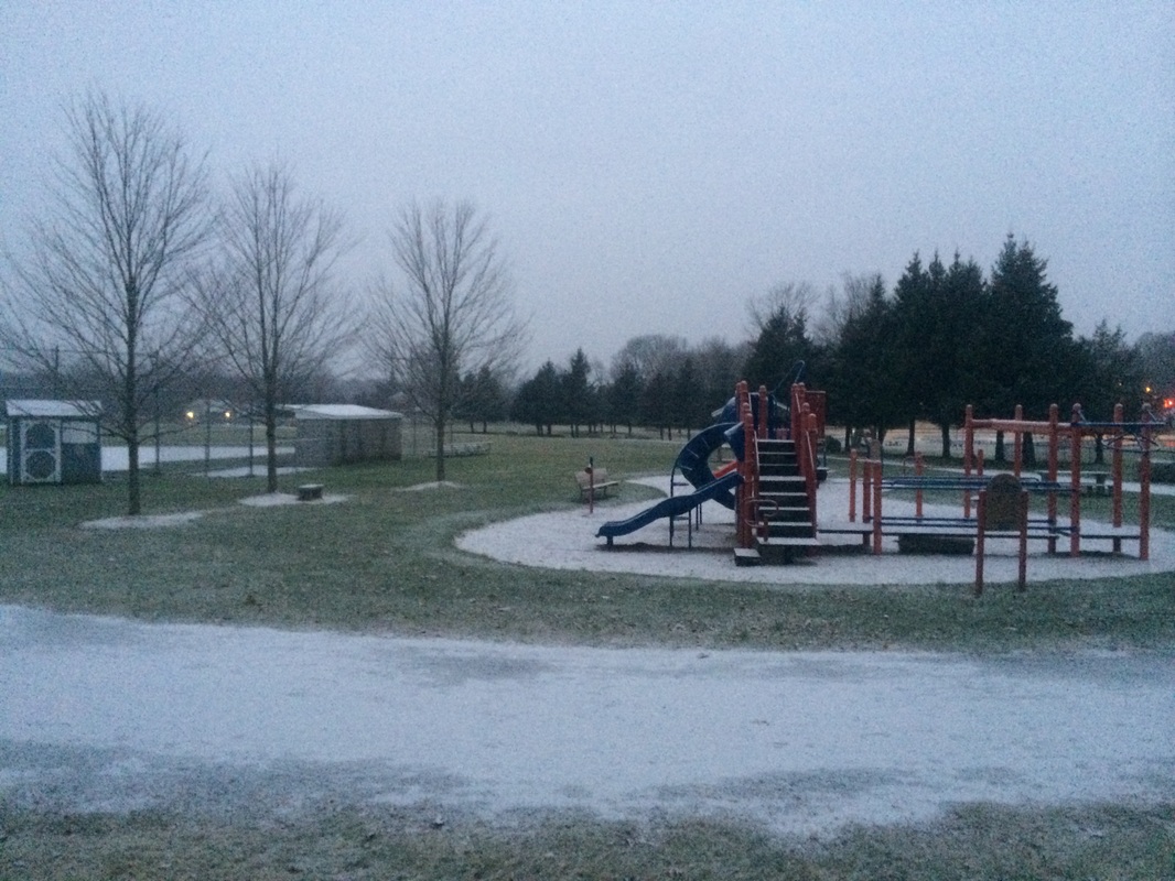
The first part of this
section of trail brought us by a large playground…
After passing the
playground, we entered a small wooded area which borders the western edge of
the park…
|
|
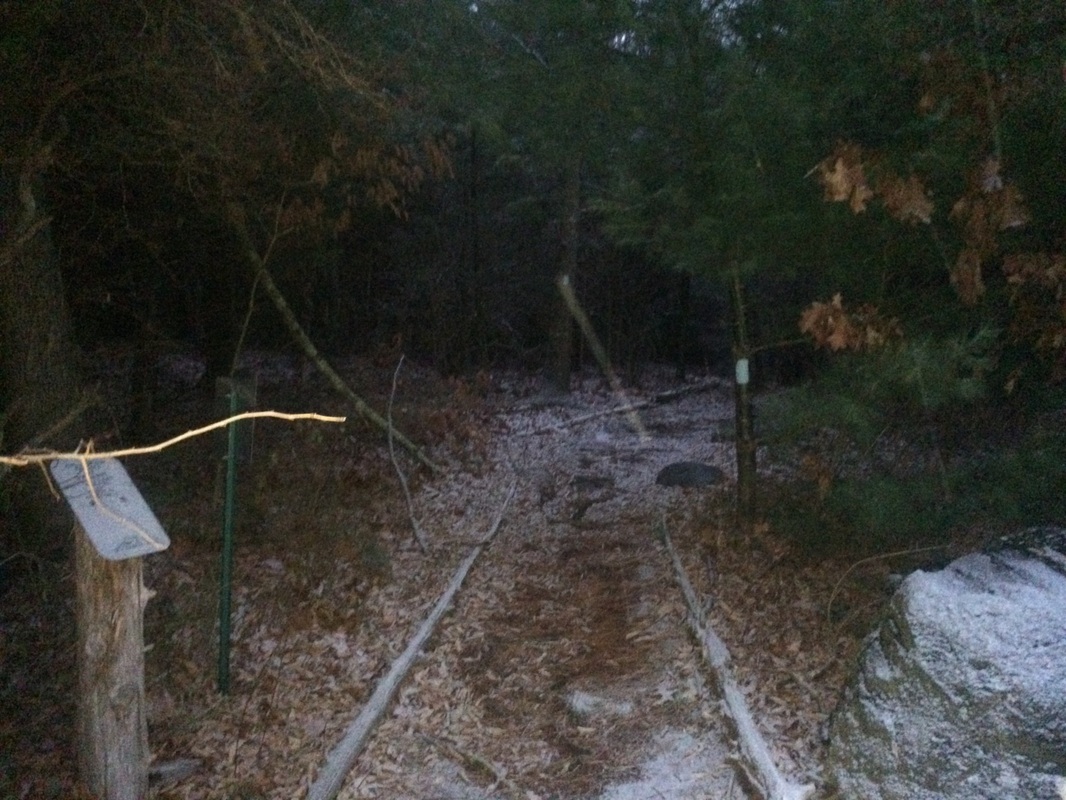
The combination of low light, snowfall, and pine trees made for a good
start.
4/10 of a mile in, we reached Rose Hill Road and made a left…
4/10 of a mile in, we reached Rose Hill Road and made a left…
The trail only follows the
road for about 20 yards, before it makes a right and follows a property line to
the left of a house. The next section
was nice but I imagine it is overgrown in the spring and summer with thorn
bushes and the like. We passed the
remnants of an old building, which the Walk Book tells me was once a farm.
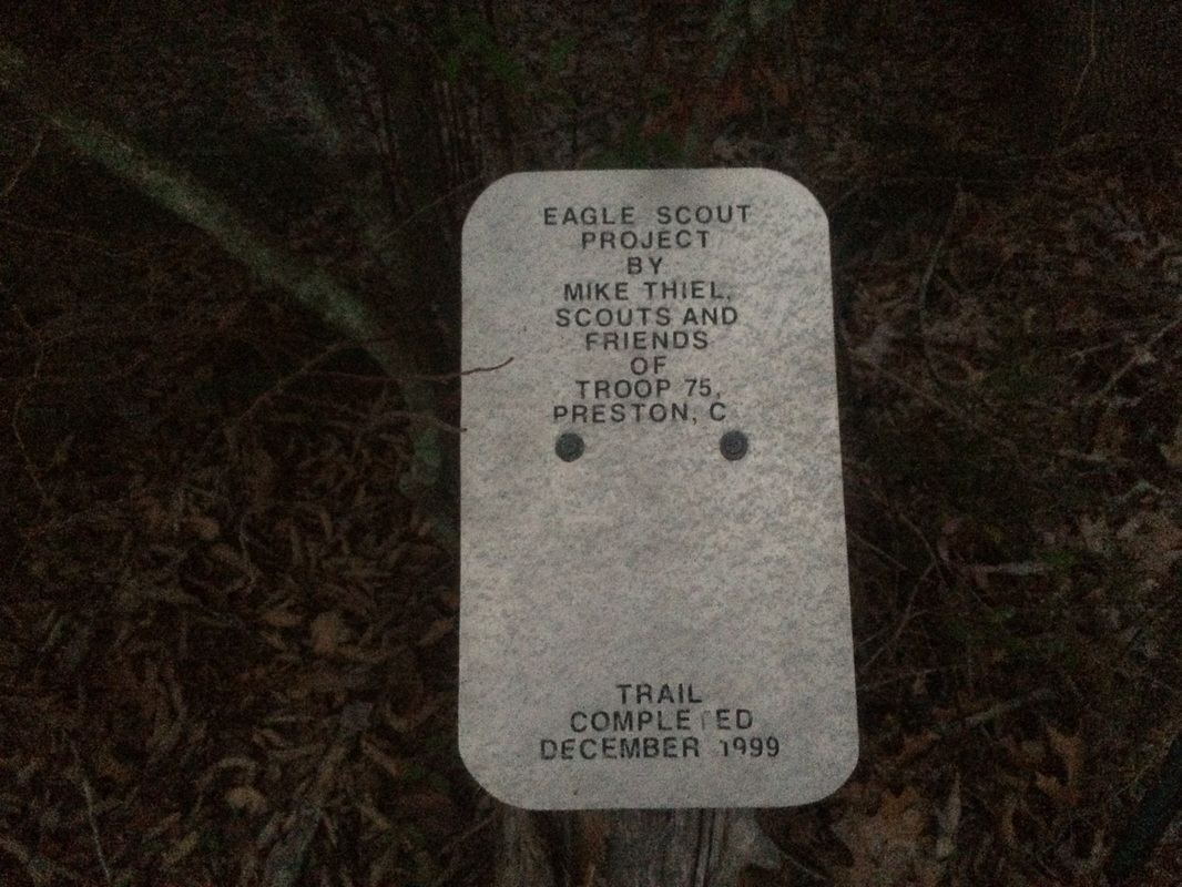
Roughly 1.1 miles in, we reached a trail log and I stopped to make a quick note…
Roughly 1.1 miles in, we reached a trail log and I stopped to make a quick note…
The next section of trail
brought us through the southern section of Rose Hill Wildlife Management
Area. Hunting is allowed here. So, I wouldn’t suggest hiking this
section of trail on a Saturday during hunting season. Now heading due east, we walked by a horse
farm and, on the hike back later, the horses were out feeding.
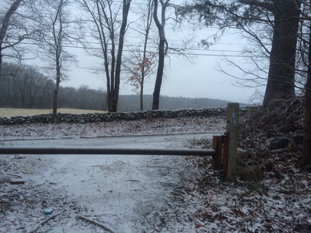
Approximately 2.5 miles in, we reached Thomas Road (after passing through the debris-filled dead end of a gravel road) and made a left at this gate…
Approximately 2.5 miles in, we reached Thomas Road (after passing through the debris-filled dead end of a gravel road) and made a left at this gate…
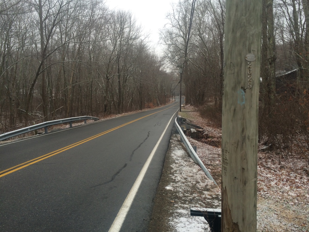
The next section of trail
follows a series of roads. First, we
followed Thomas Road and made a right on Matthewson Mill Road. Then we made a left on Fanning Road.
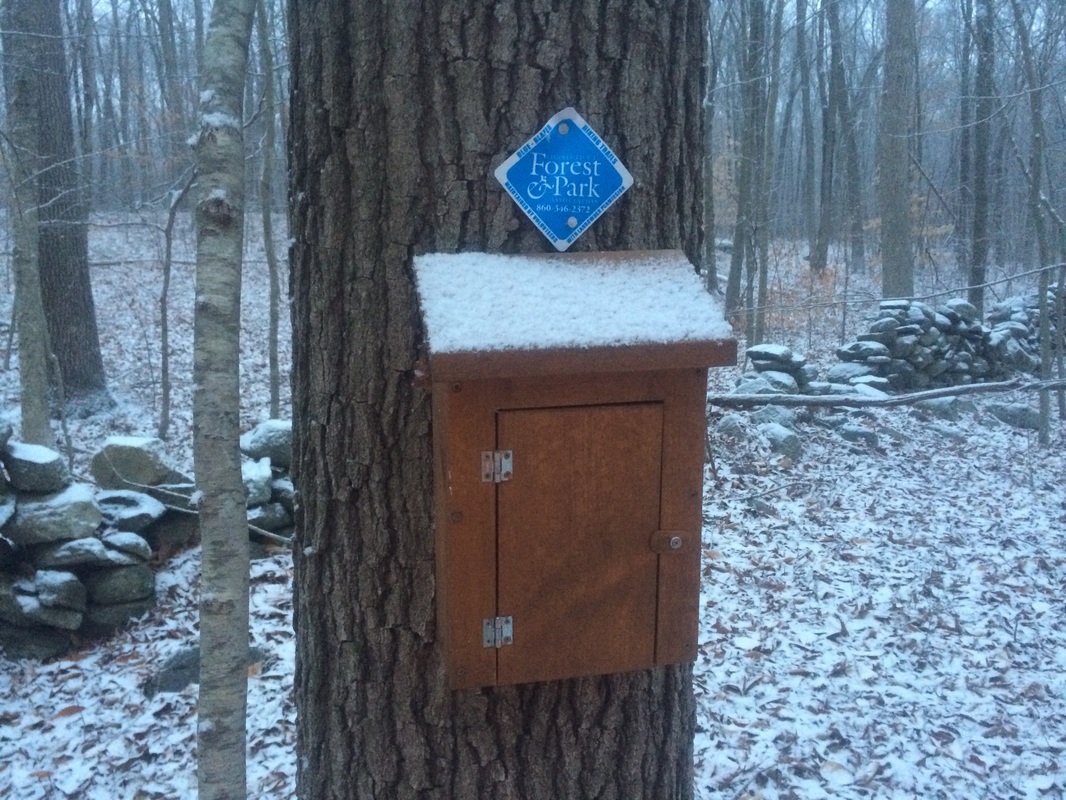
Roughly 3.3 miles in, we made a right off of Fanning Road and reentered the woods near the parking area for a Mashantucket Pequot burial ground…
Roughly 3.3 miles in, we made a right off of Fanning Road and reentered the woods near the parking area for a Mashantucket Pequot burial ground…
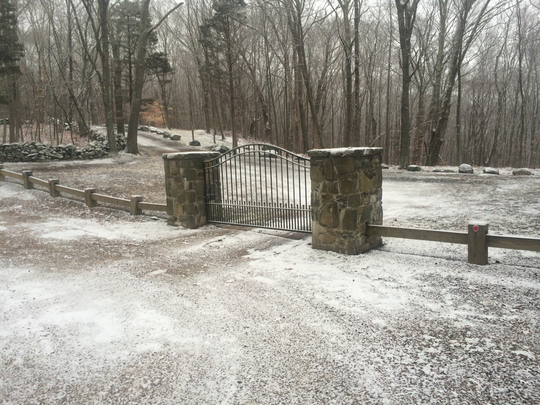
The Walk Book description of
this hike includes a picture of a fence made out of trees around the burial
ground. I was disappointed to find that
the fence, if it still exists, isn’t near the trail. One other note on this next section: as the
trail approaches Coachman Pike, it cuts between two private driveways. You'll feel as if you're trespassing.
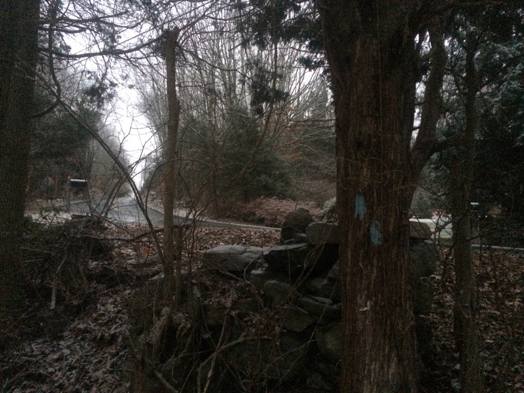
Approximately 3.7 miles in, after following Coachman Pike for a bit, we reached the southern terminus of the trail as the Walk Book describes it, at Shewville Road…
Approximately 3.7 miles in, after following Coachman Pike for a bit, we reached the southern terminus of the trail as the Walk Book describes it, at Shewville Road…
I wasn’t 100% sure, but it
looked at the time as if the trail had been extended. So, I made a right and started following blue
blazes. After a while, the blazes
stopped. And, on my return trip I
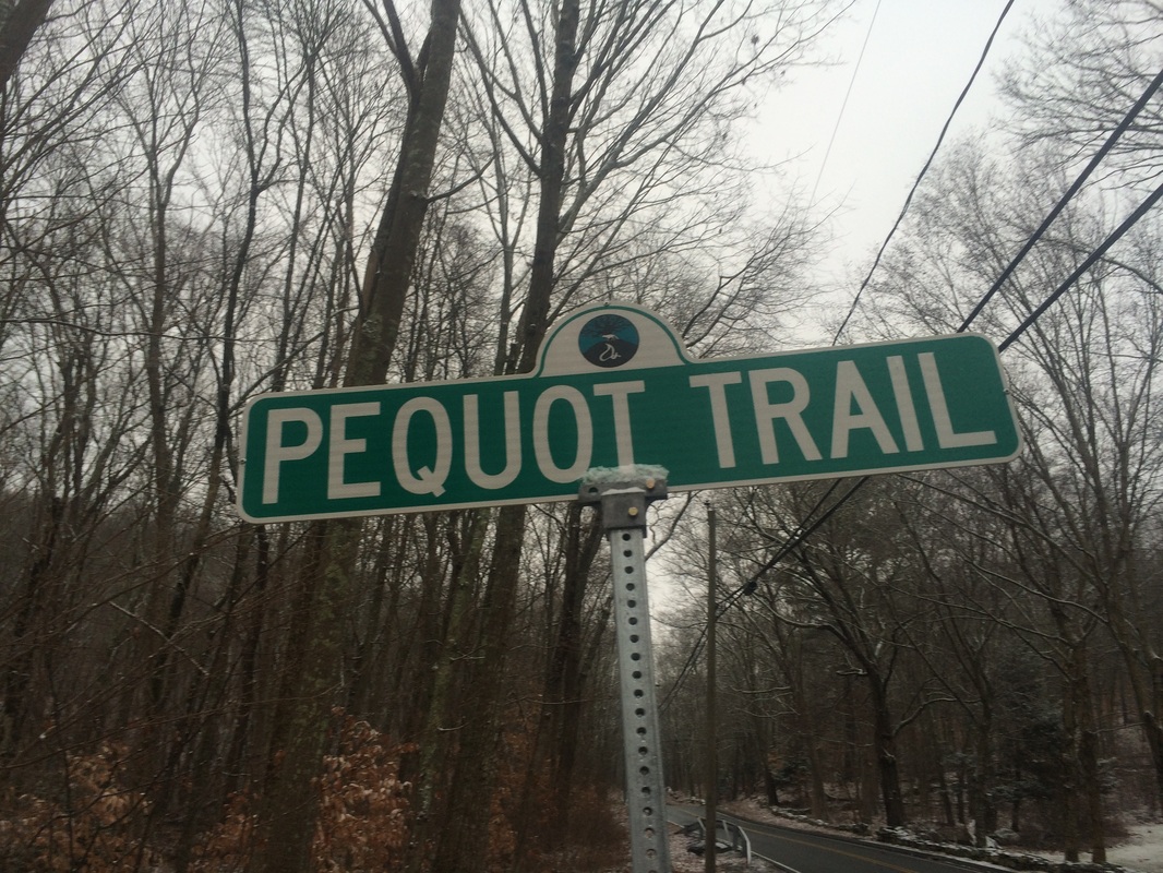
noticed the blazes might’ve been blacked out at one point. In the end, roughly 4.3 miles in and after
not seeing any blazes for a while, I decided to head back to the car. I turned around near the corner of Shewville
Road and Pequot Trail (at the street sign in the photo at the top of this
recap), which I felt was a fitting end to my Pequot Trail hikes.
All in all the Pequot Trail was a bit of a letdown. I’m hopeful that the trail does eventually end up getting an extension. I’ll keep an eye out and, if the trail does get extended, you know I’ll be back.
Until next time…
All in all the Pequot Trail was a bit of a letdown. I’m hopeful that the trail does eventually end up getting an extension. I’ll keep an eye out and, if the trail does get extended, you know I’ll be back.
Until next time…
For a map of this hike, along with elevation data, please click here.
Total 2014 Distance: 432.30
