Push It to the Limit
Hike # 112
Appalachian Trail (Includes the Pine Knob Loop Trail and a section of the Mohawk Trail)
Guinea Brook to West Cornwall Road (Sharon, CT)
Direction of Travel: Northbound
Section Distance (Per CFPA Walk Book): 4.7 Miles
Hike Distance: 13.06 Miles
Date Hiked: 11/2/2014
Date Published: 11/4/2014
As I was planning my next hike along the Connecticut section of the Appalachian Trail, I had to get creative with my parking location. Those of you familiar with the site might recall I was forced to turn around at Guinea Brook on my last AT hike, due to high water and a questionable crossing. I would’ve preferred to pick up this hike as close to the brook crossing as possible. But, the closest road crossing to Guinea Brook is Route 4 and, unfortunately, there isn’t any parking at that road crossing. Fortunately, there is parking just off of Route 7, which would give me the opportunity to use a section of the Mohawk Trail to connect with the AT.
On the morning of November 2nd, daylight savings time in 2014 now over, Roscoe and I were up early and on the road by 6:00am. We followed Route 4 west for what seemed like an eternity before making a right at the intersection with Route 7 in Sharon. The parking location was just off the road, on the left hand side of Route7, immediately after the intersection…

We geared up and the trail, taking
our very first steps along the Mohawk Trail.
If we followed the Mohawk to the east, there would be roughly 23 miles
of that trail ahead of us. Instead, we
were heading west, where only about 6/10 of a mile (per the Walk Book and the
sign at the trailhead) lay between us and the AT…
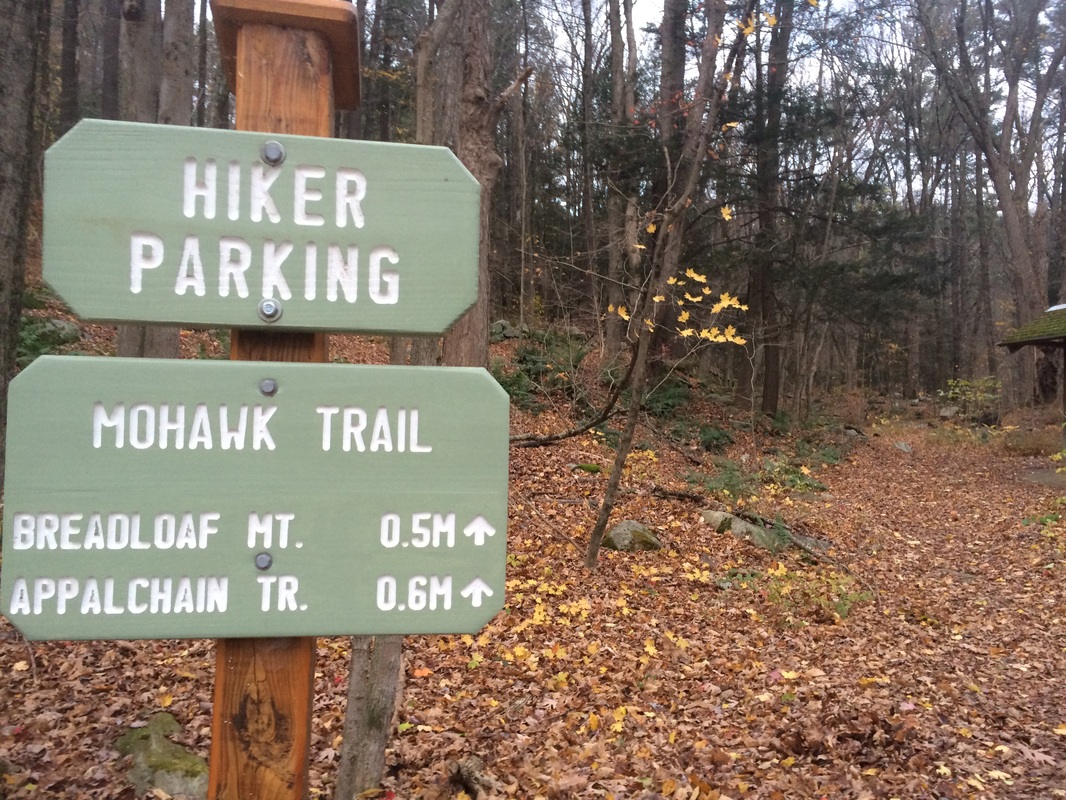
Along the way, as the sign at
the trailhead also points out, we would reach the summit of Breadloaf Mountain
(elevation: 1,050 feet). Almost
immediately, the Mohawk beings to climb.
Slowly, at first, but steadily as we approached the summit. I noticed, almost right away, my GPS was overstating
the mileage when compared with the Walk Book.
I don’t know why this happens as frequently as it does. Regardless I’ve decided, as I’ve done in the
past, to list the highlights of this hike by GPS mileage (with Walk Book
distances in parentheses).
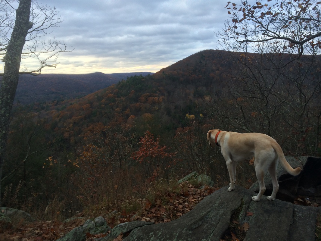
Approximately 7/10 of a mile in (1/2 mile per the Walk Book), we reached the summit of Breadloaf Mountain. A viewpoint here, looking south, allowed me to take in some of the distance I covered on my previous AT hike. We took a minute to enjoy the view…
Approximately 7/10 of a mile in (1/2 mile per the Walk Book), we reached the summit of Breadloaf Mountain. A viewpoint here, looking south, allowed me to take in some of the distance I covered on my previous AT hike. We took a minute to enjoy the view…
After another 1/10 of a mile or
so, we reached the AT. There was roughly
4.5 miles north of here to cover until we reached West Cornwall Road and the
end of this section. But, we also had
about 2/10 of a mile to the south (between the Mohawk Trail and Guinea Brook)
to make up as a result of passing it up on our last AT hike. We made a left turn and started following the
white blazes due south…
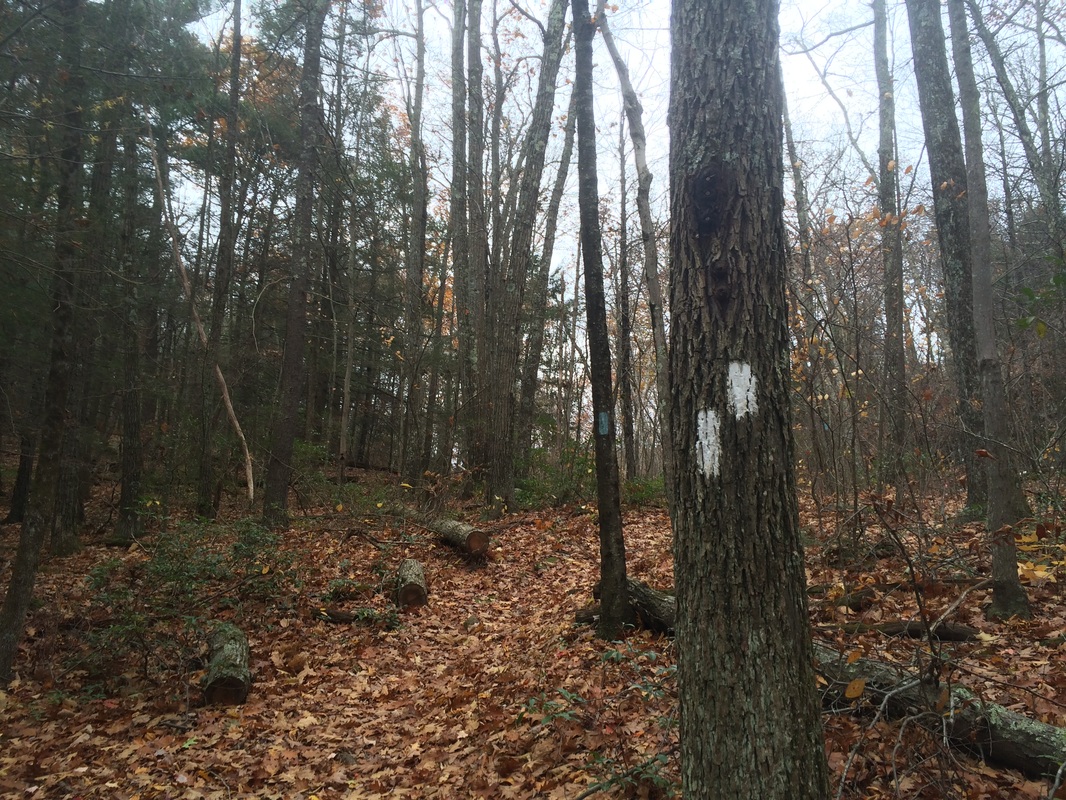
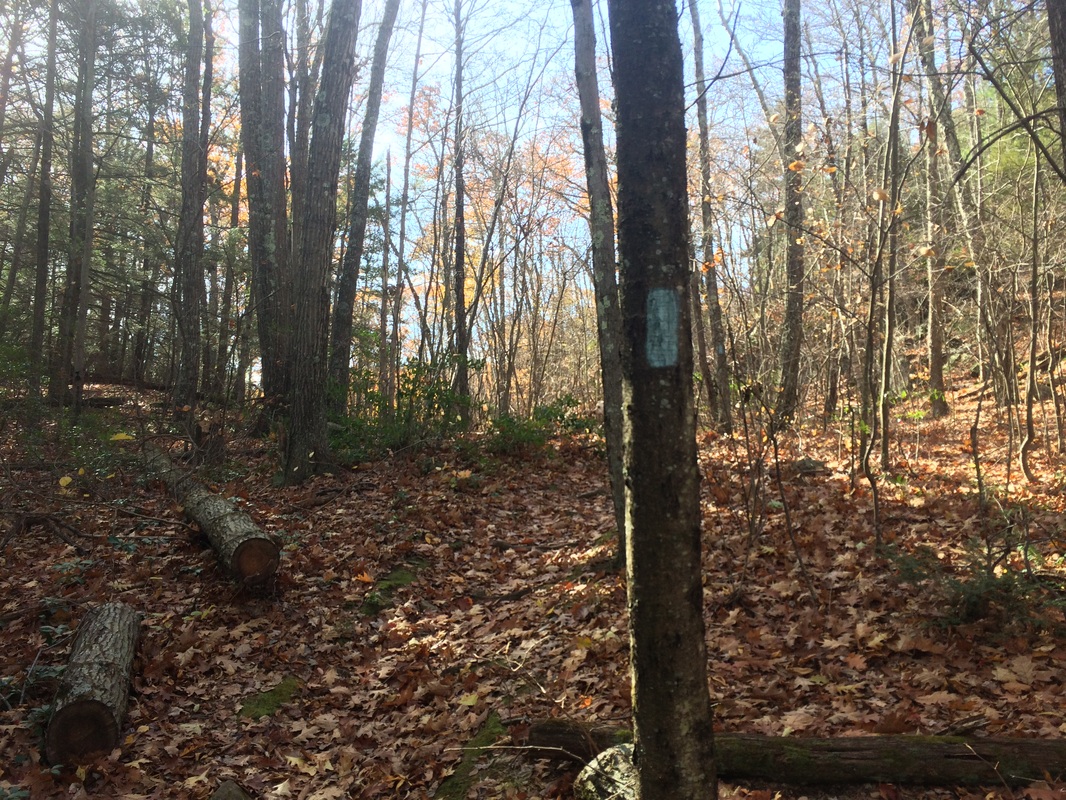
As you might be able to tell
from the picture, this section of AT was forcing us to head pretty much
straight downhill after we just spent the last 25 minutes climbing. I was prepared for this, and I accepted the
climb back up which would follow as penance for skipping out on this section
last time.
Roughly 1 mile in, we crossed Old Sharon Road…
Roughly 1 mile in, we crossed Old Sharon Road…
Approximately 1/10 of a mile
later, we reached Guinea Brook.
Interestingly, even though the rest of the state was slammed by rainfall
the day before, the brook was low enough to cross. We quickly crossed, re-crossed, and made our
way back uphill to the Mohawk Trail junction.
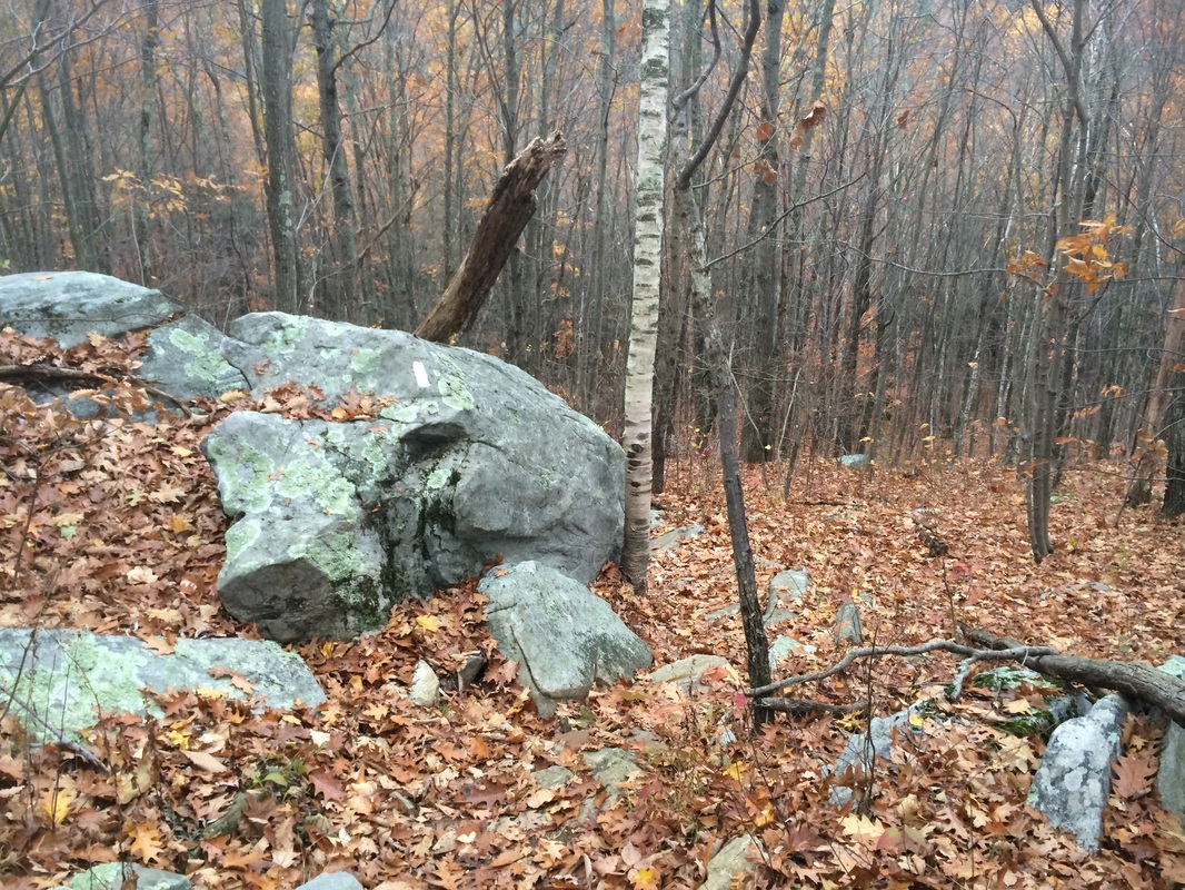
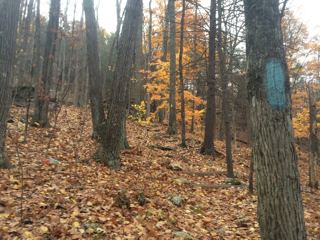
Roughly 1.3 miles in (1.0 per the Walk Book), we passed the Mohawk on our right and continued north on the AT. Over the next mile or so, there wasn’t much to see or write about. A downed tree or two, maybe. But, the trail here is still enjoyable.
Approximately 2.4 miles in (2.1 per the Walk Book), we crossed Hatch Brook and soon reached the south junction of the Pine Knob Loop Trail…
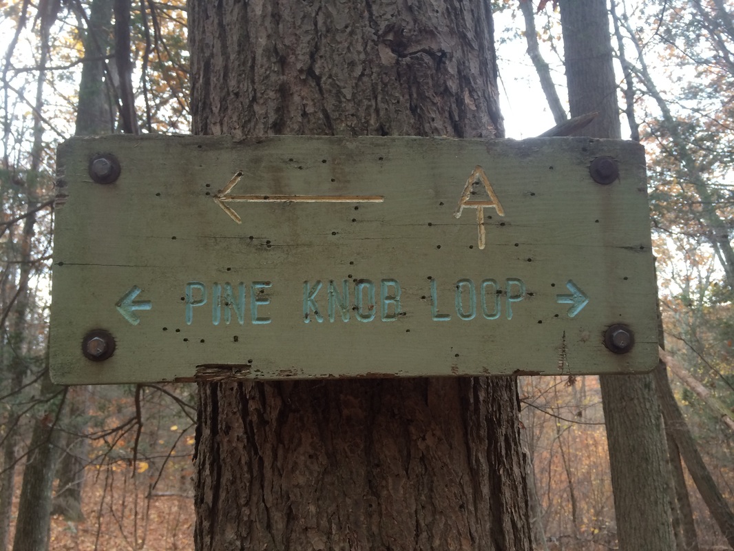
Here, the 2.1 mile blue-blazed
Pine Knob Loop Trail enters from the right and coincides with the AT for the next
7/10 of a mile. Right away, I noticed
how every other blaze would alternate color…
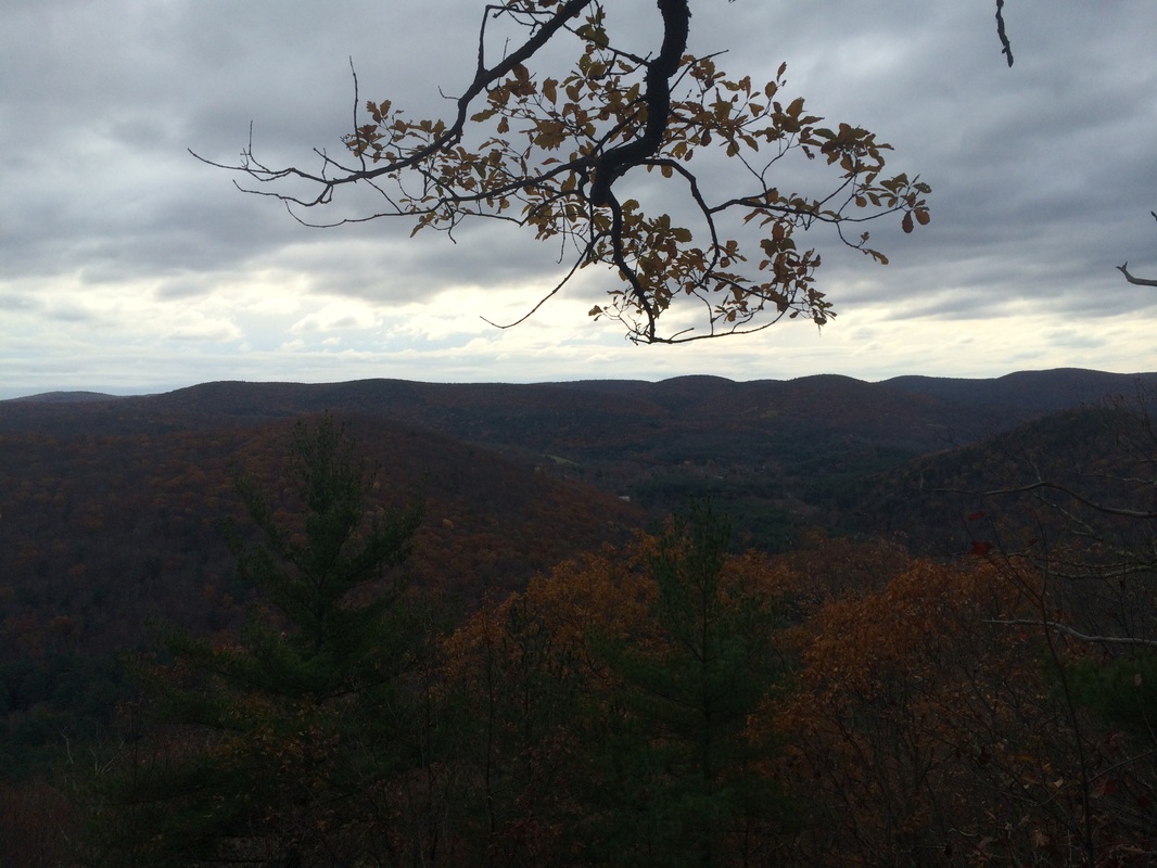
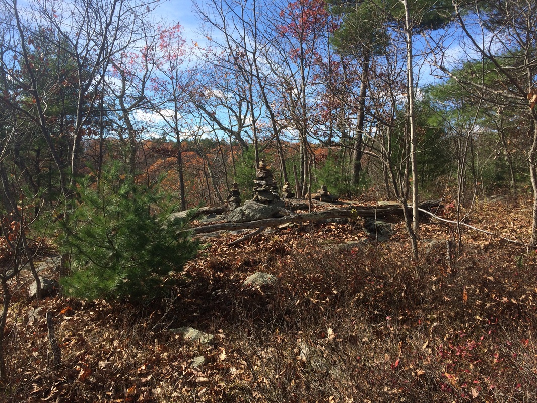
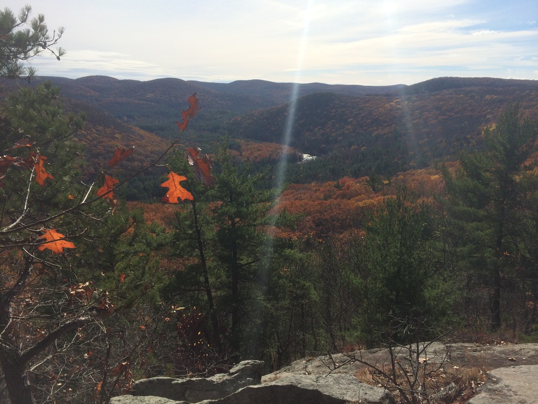
Roughly 2.9 miles in (2.4 per
the Walk Book), we reached the south summit of Pine Knob (elevation: 1,160
feet). Here, there is a nice view of the
Housatonic River Valley below…
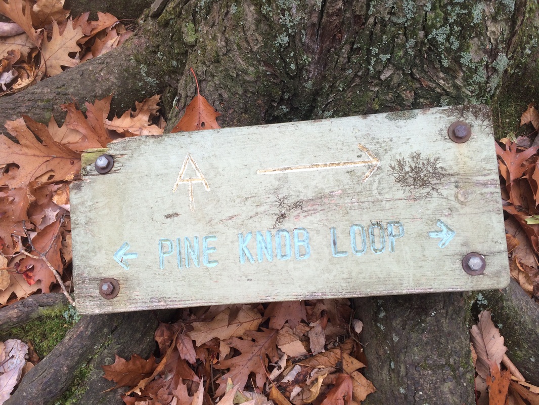
Approximately 3.4 miles in (2.8
per the Walk Book), we reached the north junction of the Pine Knob Loop Trail…
|
|
Here, the AT makes a hard left
turn and heads north while the Pine Knob Loop Trail turns right and heads
south. We turned left and continued
north along the AT.
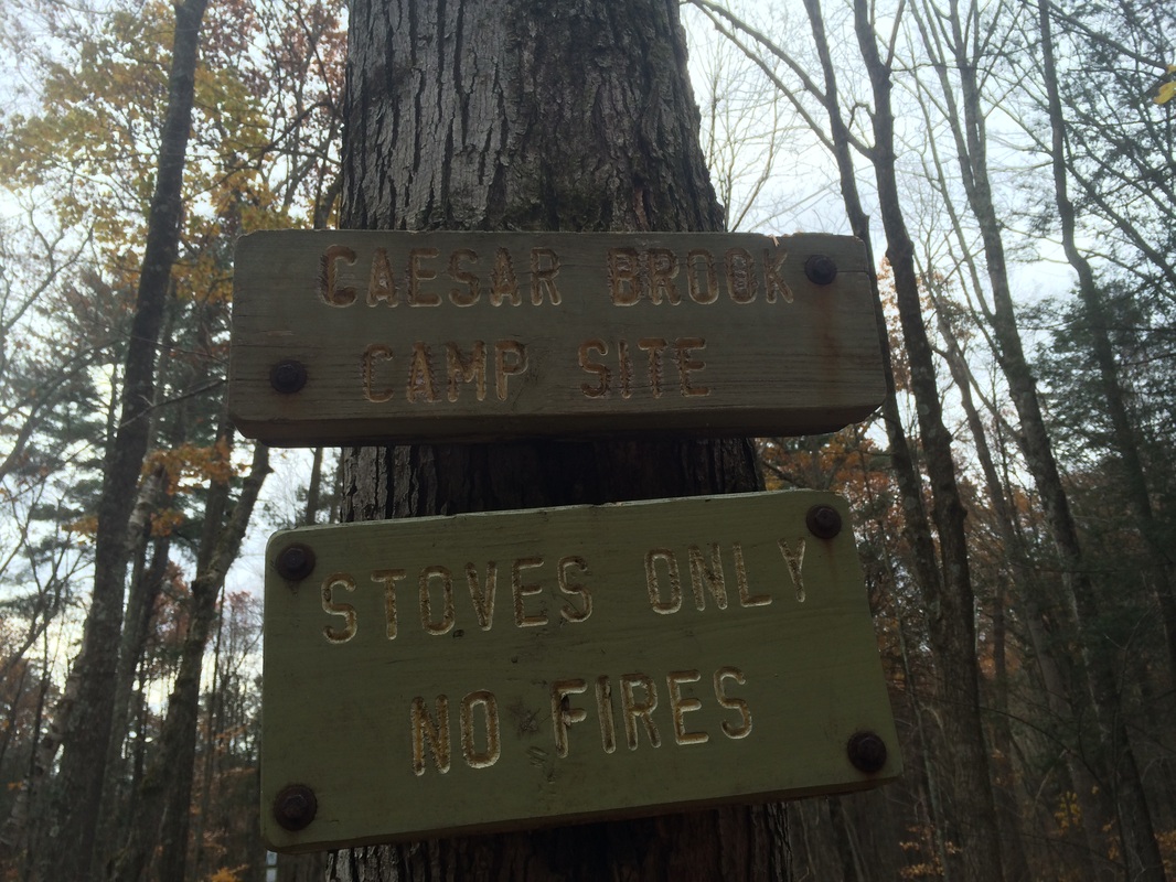
Roughly 3.7 miles in (3.2 per the Walk Book), we reached the Caesar Brook camping area and crossed Caesar Brook…
Roughly 3.7 miles in (3.2 per the Walk Book), we reached the Caesar Brook camping area and crossed Caesar Brook…
The next section of trail was challenging,
but there wasn’t a lot to see/write about it.
I did notice a hunter’s stand, which was interestingly positioned only
about 100 feet off trail (only in Connecticut).
After I thought about how ridiculous it is to set up a hunting stand
within 100 feet of the nation’s most famous hiking trail, I wondered if I would
see any deer in the area. Sure enough,
not even 30 seconds later, I saw a deer scamper off. So, I get it, hunters…but this still seems
like a hunting accident waiting to happen.
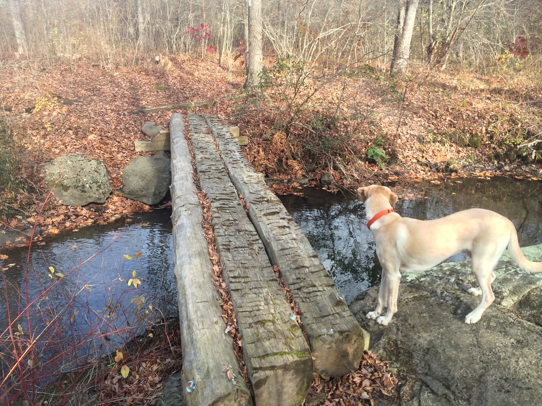
Approximately 6.0 miles in (5.4 per the Walk Book), we reached and crossed Carse Brook on a log bridge…
Approximately 6.0 miles in (5.4 per the Walk Book), we reached and crossed Carse Brook on a log bridge…
About 1/10 of a mile later, we
reached West Cornwall Road and the end of this section…
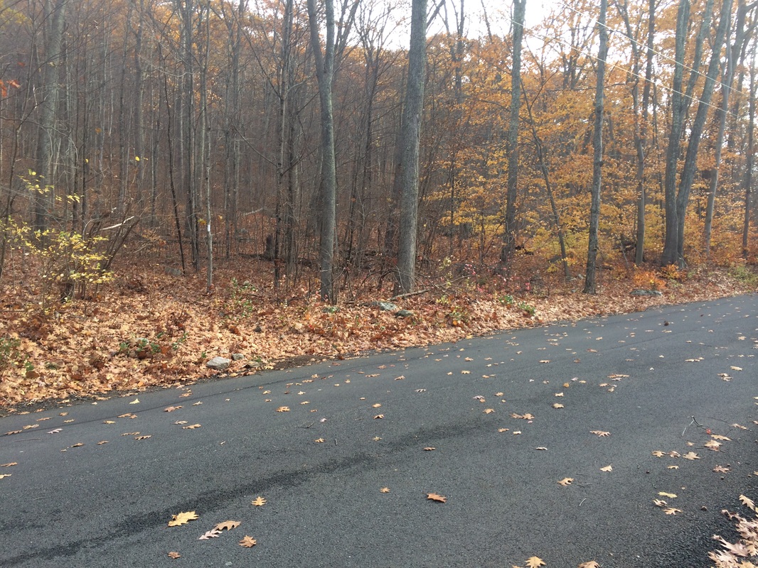
I made a mental note confirming
there is parking here for a few cars.
When I pick up the AT next time, I’ll definitely park here. For now, we started the challenging task of
making our way back to where we parked earlier.
Already 3 hours in, I was starting to feel the effects of taking last week
off. After a minor stumble and fall,
which sucked whatever energy I had left out of me, I was really dragging. And, I still wanted to complete the remaining
1.4 miles or so of the Pine Knob Loop Trail.
Roughly 9.0 miles in (8.2 per the Walk Book), we finally made our way back to the north junction of the Pine Knob Loop Trail and picked up the trail there…
Roughly 9.0 miles in (8.2 per the Walk Book), we finally made our way back to the north junction of the Pine Knob Loop Trail and picked up the trail there…
Now heading due south on the
Pine Knob Loop Trail, we climbed a bit until we reached the north summit of
Pine Knob (which is actually shorter than the south summit by 40 feet but has,
in my opinion, the better views)…
After enjoying the views, we
made our way steeply downhill.
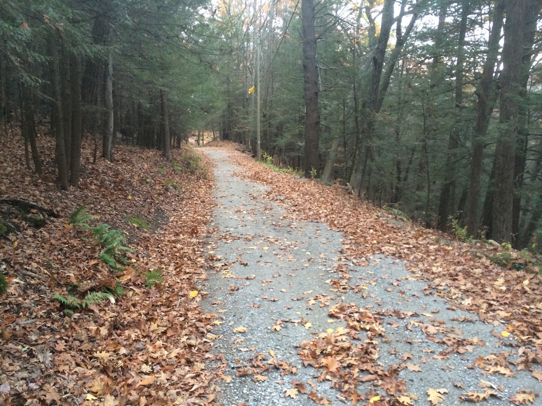
Approximately 10.2 miles in (9.5 per the Walk Book), we reached the official start of the loop. I was exhausted but I didn’t want to skip out on any more of these trails, so we followed the access trail section of the loop to the parking area. Once there, we quickly turned around to double back to where the loop begins, and made a left. Now heading west, we started climbing up again.
It was around this time I really started to notice how little energy I had left. People I’d earlier seen making their way up, while I was on my way down from the north summit, were now making their way down on this side of the loop. I can only imagine what thoughts were going through their heads. I even begged one couple to tell me this side wasn’t going to be as steep as the other side. I can’t even say if there were lying or not because, steep or not, this side FELT like it was the steepest hill I’d ever climbed. I can’t remember the last time I felt like this while hiking.
Roughly 10.9 miles in (10.0 miles per the Walk Book), we connected back to the AT. We made a left to follow the AT south again. After another 1.3 miles, we reached the Mohawk Trail. We made another left to follow that trail back to the car. I stopped one last time, on the summit of Breadloaf Mountain, to take in the view and remind myself why I enjoy what could otherwise be classified as torture.
In the end, after 13.06 miles of hiking, I realized I probably pushed myself too hard on this one. I don’t think it was necessarily the mileage that did me in. I think it had more to do with the number of elevation changes. On the ride home, I convinced myself to dial down the number of miles on subsequent AT hikes. When I got there, I looked at what I had planned for the next AT hike (which I already planned out prior to this hike). And, I saw that it calls for roughly 13.8 miles. Oh boy!
Until next time…
For a map of this hike, along with elevation data, please click here.
Total 2014 Distance: 339.63
