New York State Of Mind
Hike # 102
Appalachian Trail
Bulls Bridge Road to Route 341 (Kent, CT)
Direction of Travel: Northbound
Section Distance (Per CFPA Walk Book): 7.4 Miles
Hike Distance: 13.28 Miles
Date Hiked: 5/18/2014
Date Published: 5/20/2014
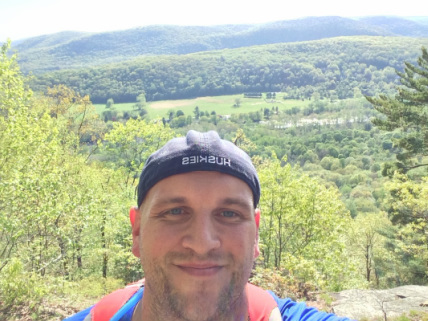
I was so excited to start my next hike along the AT that I was awake at 4:15 am and on the road by 4:45 am. I made my way (via 90 minute drive) from East Hartford to the parking area near the corner of Route 7 and Bulls Bridge Road in Kent. I parked my vehicle, geared up, and hit the trail.
From the parking area, Roscoe and I made a left to follow Bulls Bridge Road. Heading due west, we soon crossed the Housatonic River on Bulls Bridge…
Hike # 102
Appalachian Trail
Bulls Bridge Road to Route 341 (Kent, CT)
Direction of Travel: Northbound
Section Distance (Per CFPA Walk Book): 7.4 Miles
Hike Distance: 13.28 Miles
Date Hiked: 5/18/2014
Date Published: 5/20/2014
I was so excited to start my next hike along the AT that I was awake at 4:15 am and on the road by 4:45 am. I made my way (via 90 minute drive) from East Hartford to the parking area near the corner of Route 7 and Bulls Bridge Road in Kent. I parked my vehicle, geared up, and hit the trail.
From the parking area, Roscoe and I made a left to follow Bulls Bridge Road. Heading due west, we soon crossed the Housatonic River on Bulls Bridge…
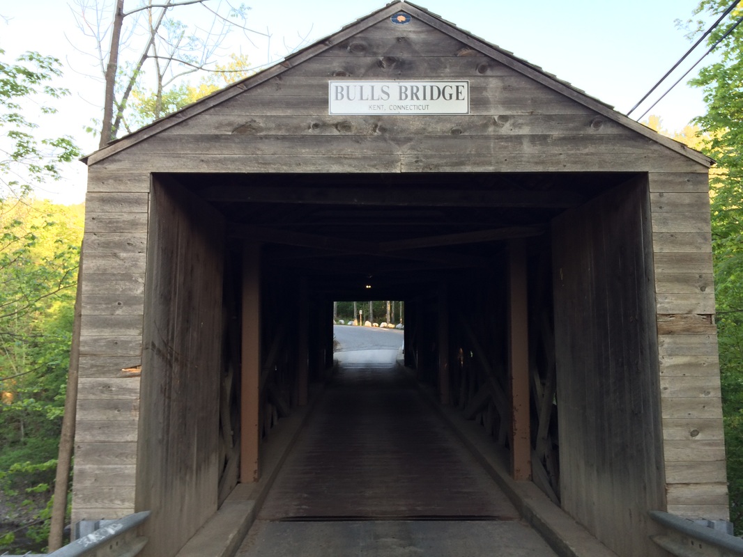
Bulls Bridge, originally
constructed in 1842, is one of only three covered bridges in Connecticut...and one of only two which are still open to vehicle traffic It was added to the National Register of
Historic Places in 1979. After my
previous disappointment with the Comstock Bridge being closed at the time of my
hike on the Salmon River Trail, I was really looking forward to crossing Bulls
Bridge. It takes all of twenty seconds
to cross, but this was the perfect way to start my hike.
After crossing the bridge, we continued to follow Bulls Bridge Road due west until we reached Schaghticoke Road. Turning right at the intersection, I spotted my first white blaze on a tree on the side of the road. 4/10 of a mile after leaving the parking area, we had officially started the next section of the AT…
After crossing the bridge, we continued to follow Bulls Bridge Road due west until we reached Schaghticoke Road. Turning right at the intersection, I spotted my first white blaze on a tree on the side of the road. 4/10 of a mile after leaving the parking area, we had officially started the next section of the AT…
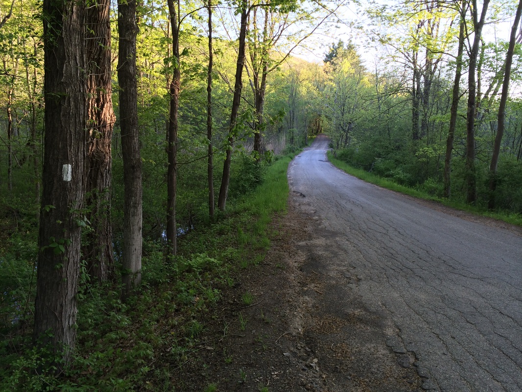
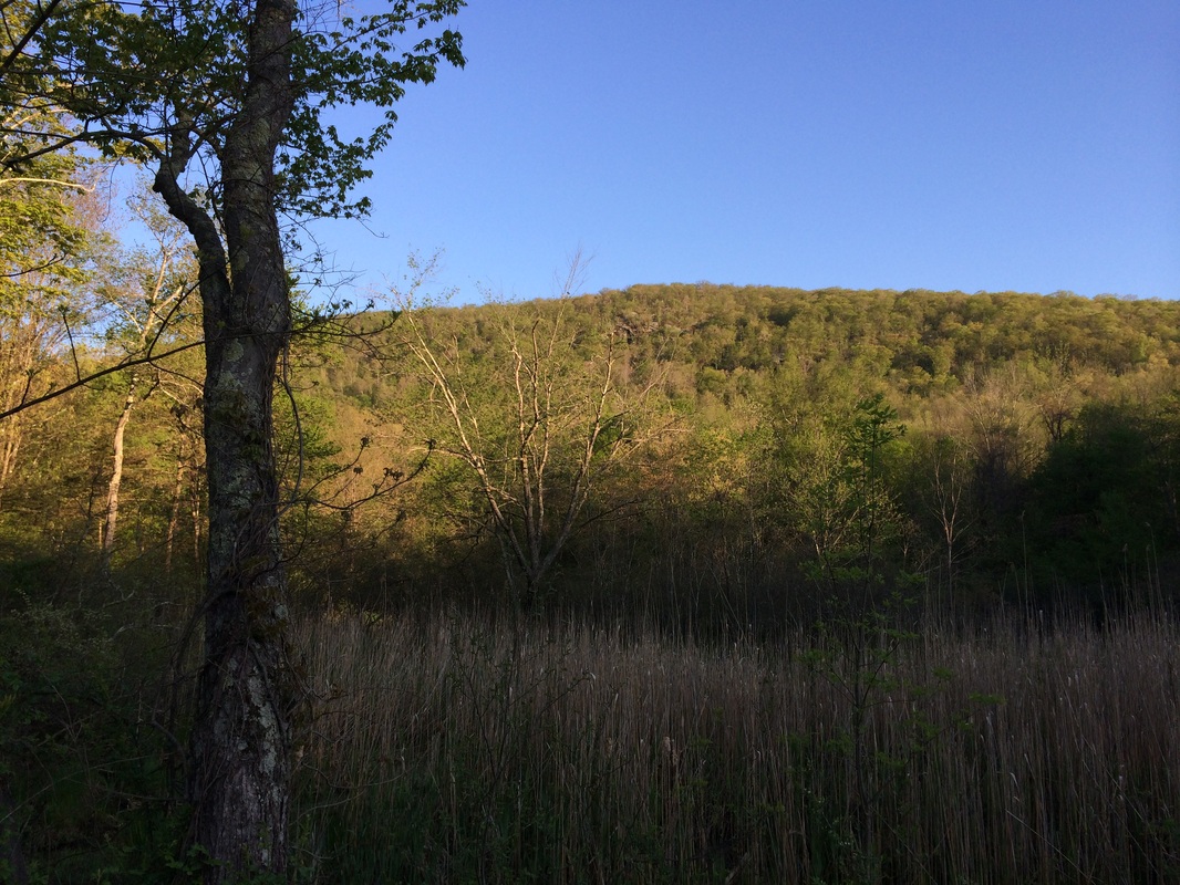
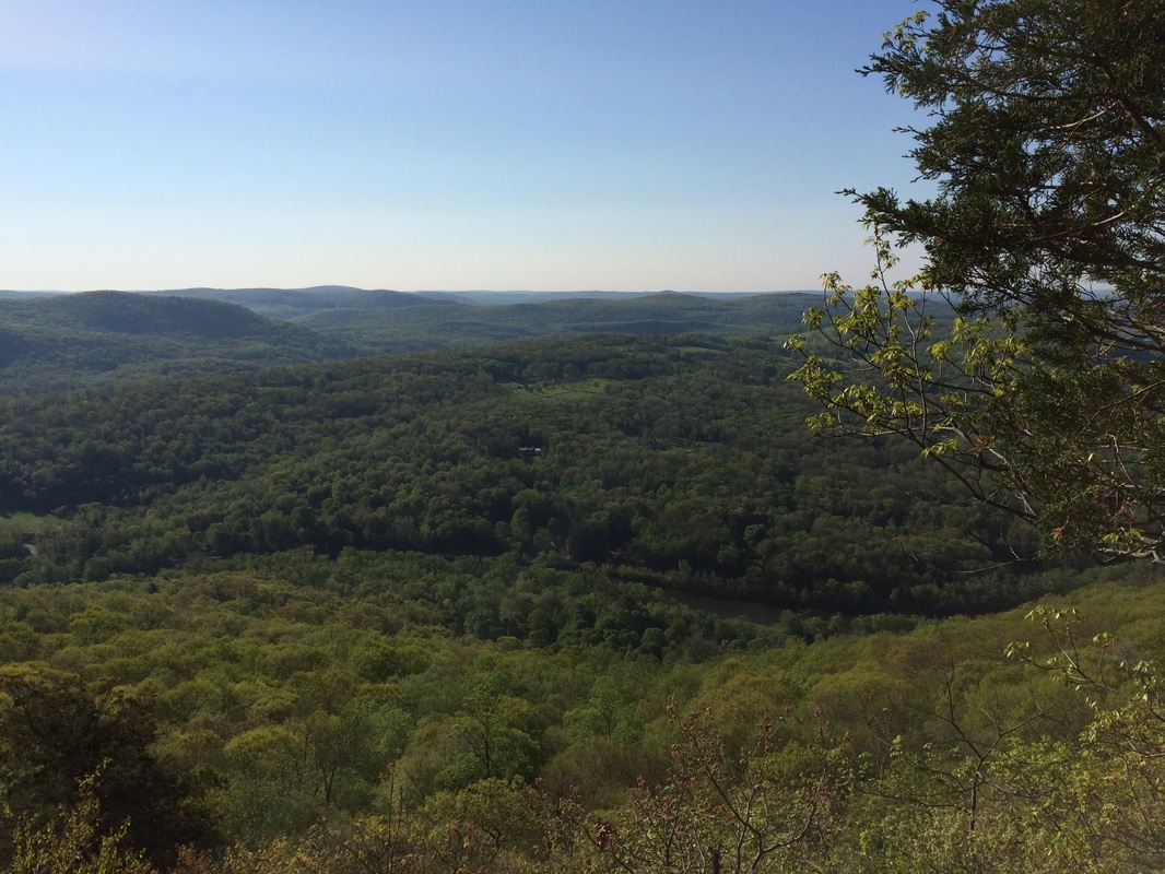
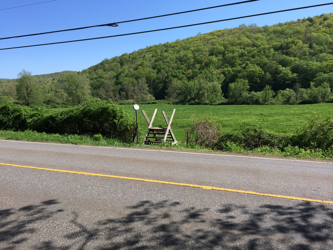
We followed Schaghticoke Road
due north, stopping briefly so I could take a picture of the ridgeline we
would be hiking later today…
Approximately 7/10 miles after leaving the parking area near Bulls Bridge, we
reached the place where the trail turns slightly left (and the road bears
right)…
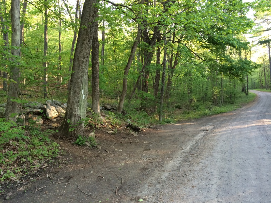
Here, we entered the woods for
the first time and started our steep ascent up the east slope of Schaghticoke
Mountain (elevation: 1331 feet). This mountain is unique in
that the elevation is listed twice in the Connecticut Walk Book, once in New
York and once in Connecticut.
Fortunately for me, the AT takes in both of these “summits” so I can add both to my Peaks list. Along
the way to the New York summit, after travelling generally due west over countless
numbers of switchbacks, we came to a nice southerly view…
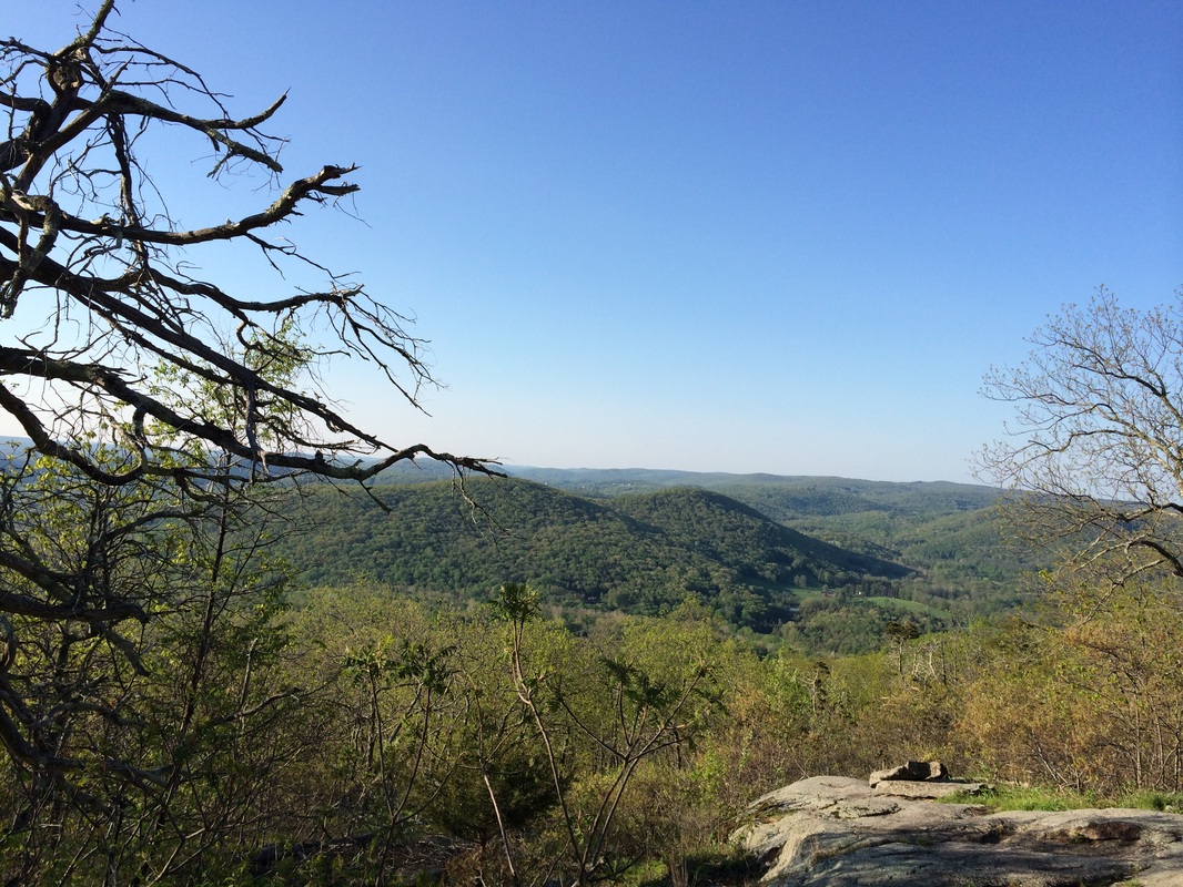
In the picture above, roughly
center of frame, is Tenmile Hill. It was
cool to look back at the peak I had climbed on my previous AT hike.
From the viewpoint, we made a hard right to follow the trail due north. We spent the next several miles in the great state of New York (Jaci’s home state), paralleling the NY/CT border. I was excited to be hiking in New York for more than just a few minutes this time...and even happier that I could add a named peak from New York to my Peaks list.
Eventually, the trail brought us back to Connecticut. There is supposedly a sign (the Walk Book has it listed at 3.1 miles from the intersection of Bulls Bridge and Schaghticoke roads) which designates the border. But, even though I kept my eyes peeled (and I knew almost exactly where the border should be...thanks to my GPS), I didn’t see the sign.
Shortly after re-entering Connecticut, the trail brought us to the Schaghticoke Reservation. From what I understand, this is the only time (Georgia to Maine) the AT enters Native American land…and it does so right here in Connecticut, which is pretty cool.
Roughly half a mile after we crossed back to Connecticut, we reached Indian Rocks (elevation: 1330 feet)…
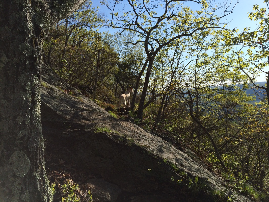
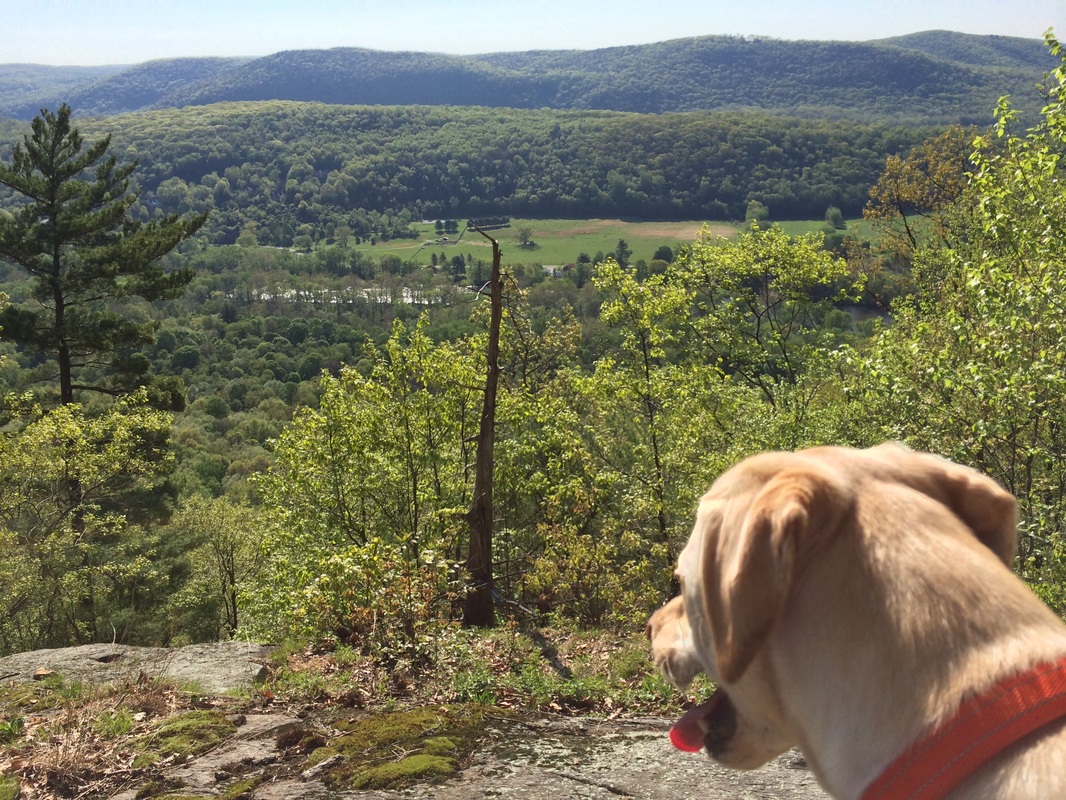
This technical section was a
lot of fun and there were a lot of great views looking east over the Housatonic and Route 7…
|
|
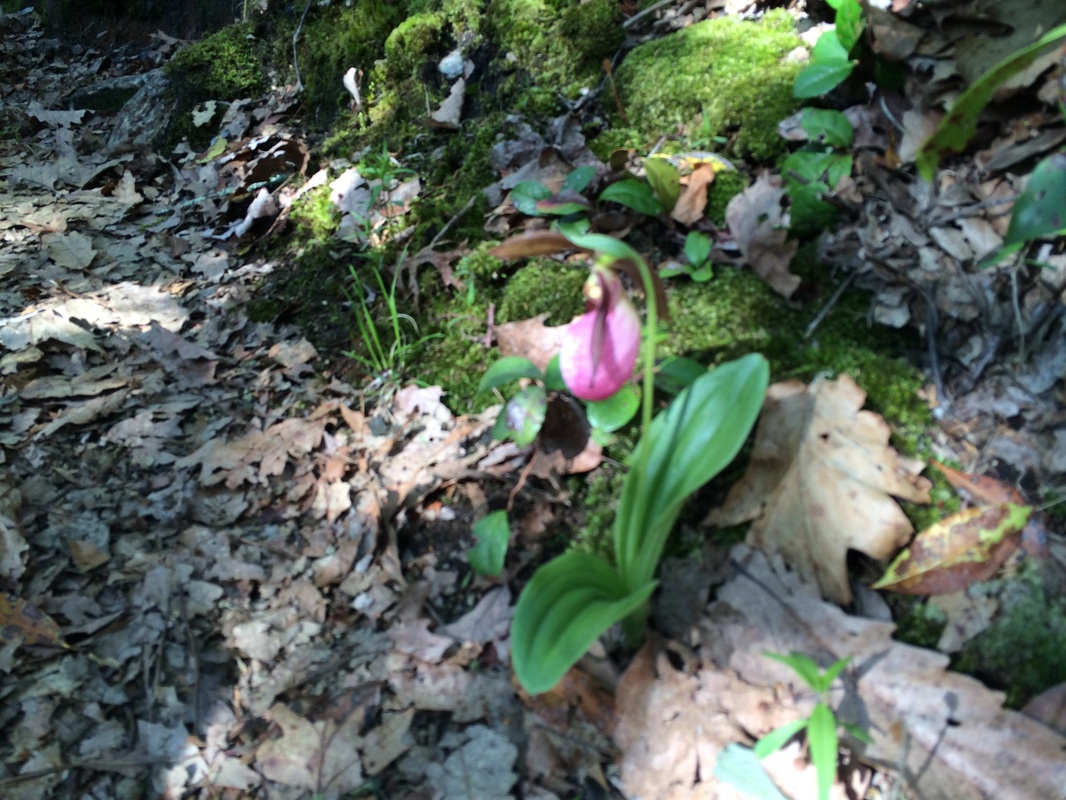
On the way down one slope, I
even spotted the flower known as Pink Lady’s Slipper…
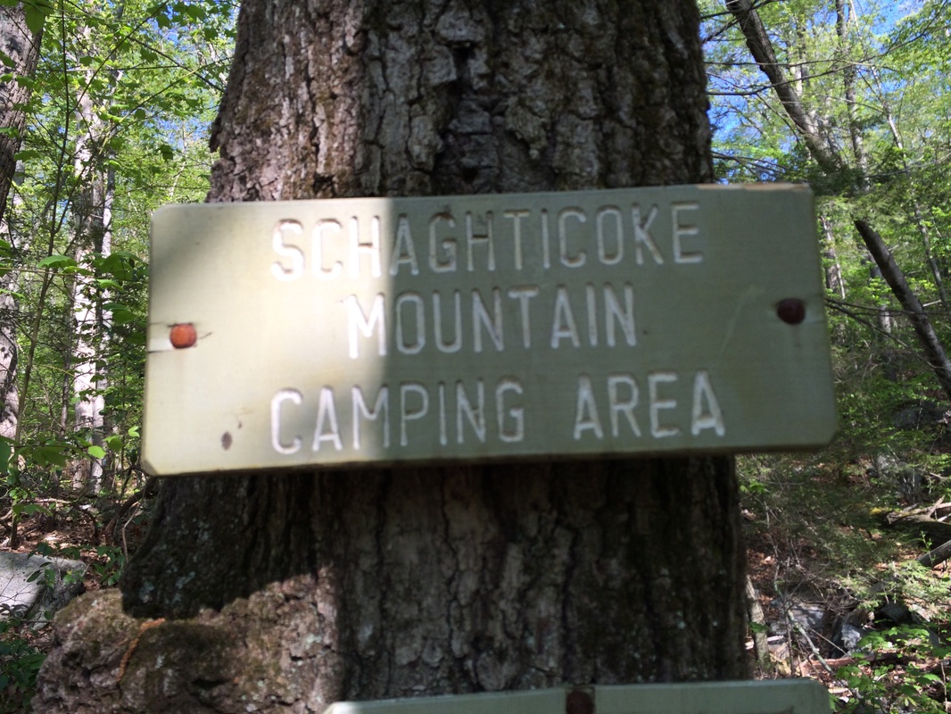
A little while later, we passed
a side trail which leads to the Schaghticoke Mountain campsite…
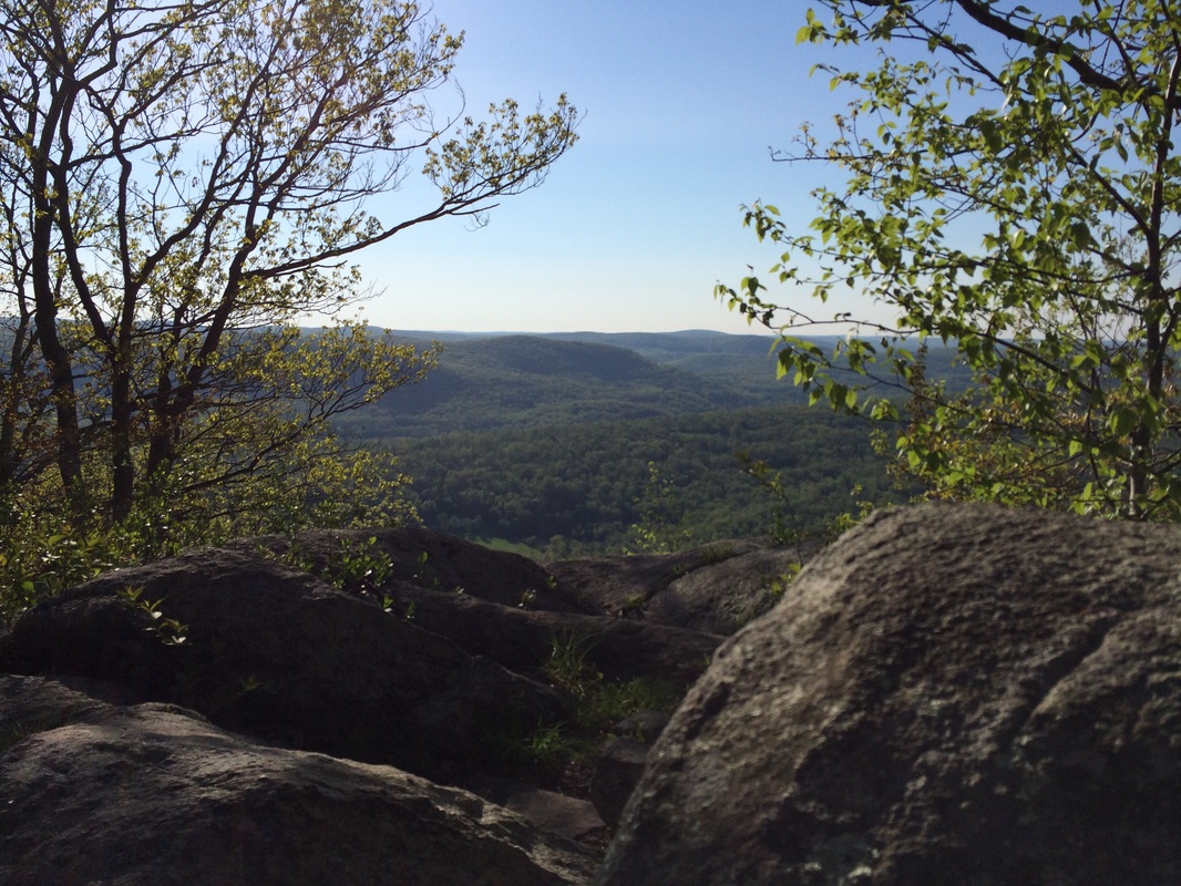
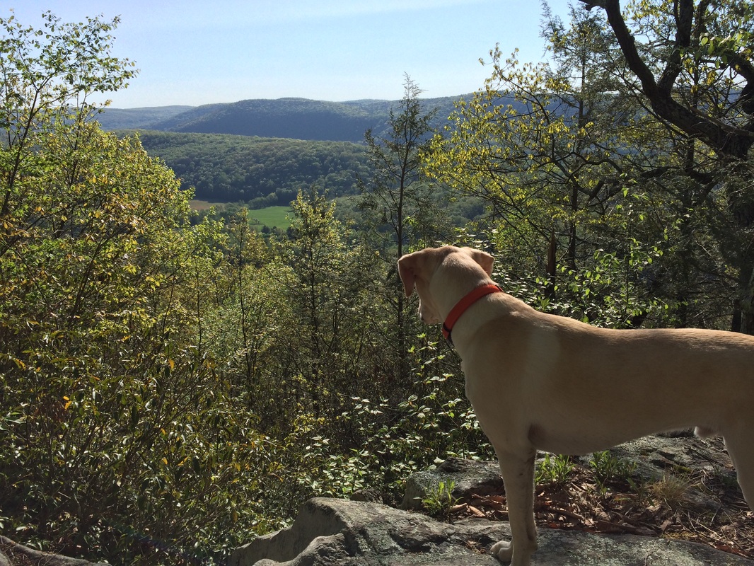
And we stopped to take a few more pictures of the views...
|
|
Later still, we reached the Connecticut summit (the Walk Book calls it a “High Point”) of Schaghticoke Mountain. From what I’ve read, the Schaghticoke Mountain in New York and the Schaghticoke Mountain in Connecticut are actually two different mountains (which makes sense because I did descend from one to ascend the other). But the Walk Book claims they are both Schaghticoke Mountain…and only distinguishes them as New York and Connecticut. Note: the Walk Book also puts the Connecticut summit at 1403 feet, 72 feet higher than the summit in New York.
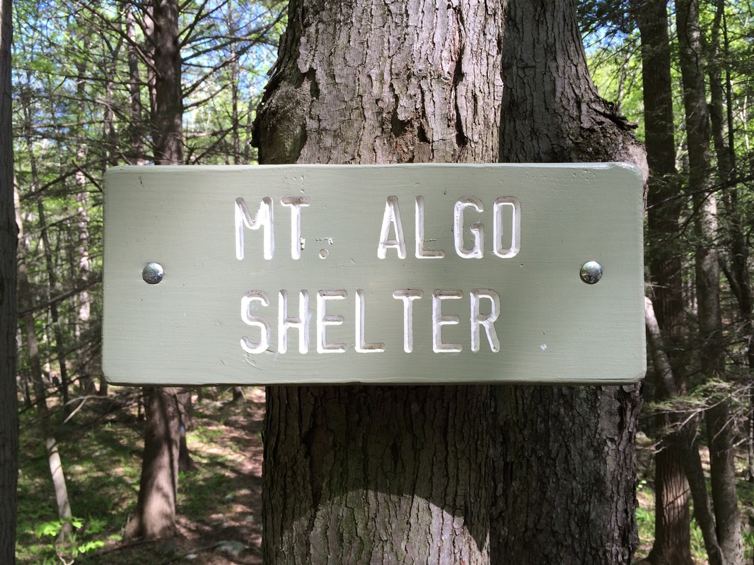
We descended from the Connecticut “High Point” over a series of boulder-strewn switchbacks until we reached Thayer Brook (6.1 miles from the intersection of Bulls Bridge and Schaghticoke roads, per the Walk Book). We crossed the brook (I slipped on a wet rock, but only got a little wet…barely even worth noting, but the water was high here) and ascended again briefly to the northern slope of Mount Algo (elevation: 1152 feet) before beginning our final descent to Route 341.
On the way down, we passed the Mt. Algo Lean-to…
Roughly 8.3 Miles in (7.4 miles
from the intersection of Bulls Bridge and Schaghticoke roads, per the Walk
Book) we reached Route 341, my designated turn around point…
On my previous AT hike, I was
willing to double back because I had only travelled about 4 miles on the way
out. On this hike, I had a hard time
swallowing the fact that I would have to retrace 8+ miles. Additionally, it had taken me 3.5 hours
to get to Route 341. I didn’t exactly have
time for another 3.5 hour journey back.
I still had a 90 minute drive home once I got back to my vehicle…and I
needed to mow the loan/take a statistics final once I got home. Fortunately, Schaghticoke Road pretty much
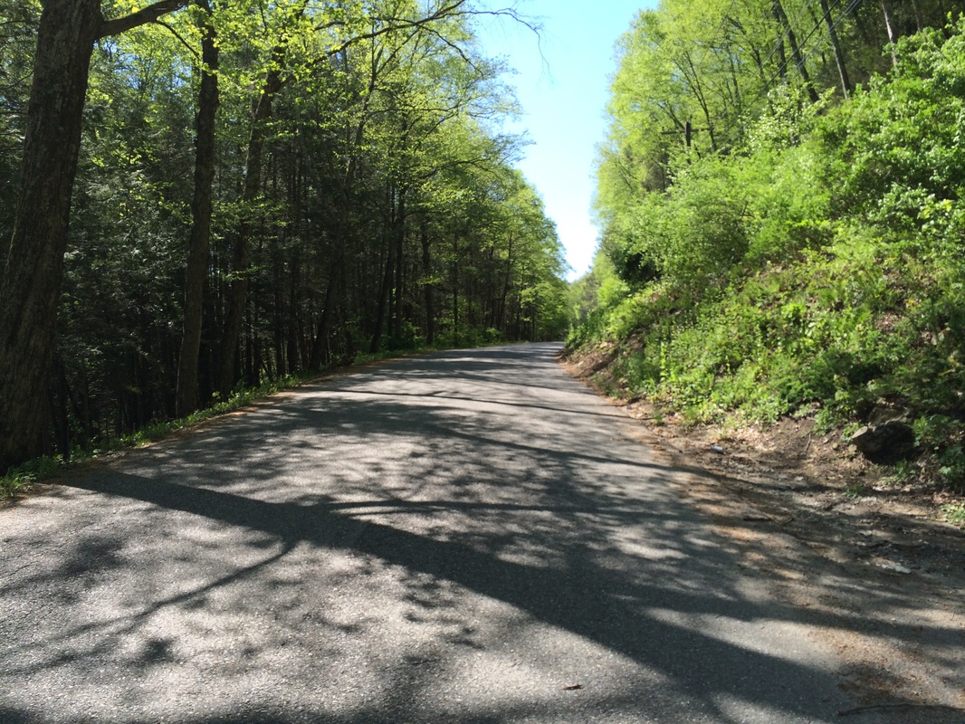
runs parallel to this section of the trail.
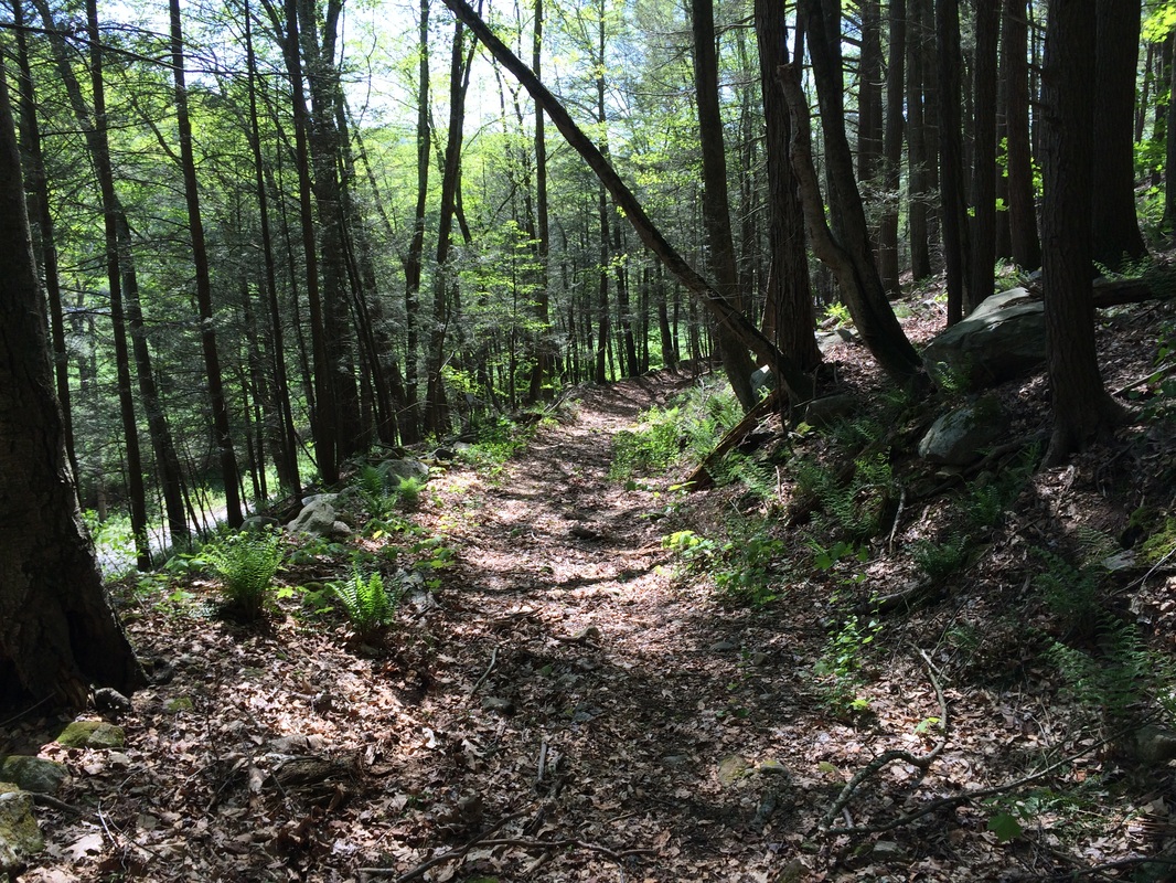
So, I briefly doubled back to an old woods road (Old Barn Road) and
followed that east until I reached Schaghticoke Road. Then, I turned right and followed
Schaghticoke Road due south for roughly 4.7 miles until I returned to Bulls
Bridge Road.
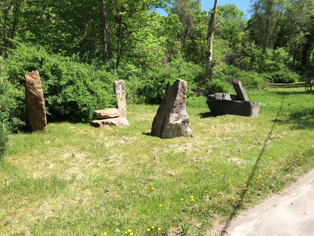
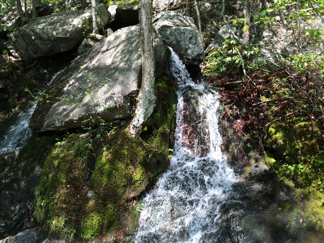
Partially on a time crunch…partially curious about the Schaghticoke Indians who call Schaghticoke Road their home…I continued to follow the road due south while keeping an eye out for signs of the Schaghticoke people. I saw a few small; run down houses…an old burial ground, which included some newer headstones…a curious rock formation…and a beautiful, high waterfall…all within a few feet of the road. As road walks go, this one was king…and I was happy with my decision to “take the easy way out”…
Partially on a time crunch…partially curious about the Schaghticoke Indians who call Schaghticoke Road their home…I continued to follow the road due south while keeping an eye out for signs of the Schaghticoke people. I saw a few small; run down houses…an old burial ground, which included some newer headstones…a curious rock formation…and a beautiful, high waterfall…all within a few feet of the road. As road walks go, this one was king…and I was happy with my decision to “take the easy way out”…
|
|
Eventually, we made it all the
way to my vehicle...after crossing Bulls Bridge again...and we made the ride
home. I’m looking forward to my next
hike along the AT…and the challenging section known as St. John’s Ledges which
comes along with it. Until next time…
For a map of this hike, along with elevation data, please click here.
Total 2014 Distance: 239.04
