Oh Boy
Hike # 113
Appalachian Trail
West Cornwall Road (Sharon, CT) to Route 112 (Salisbury, CT)
Direction of Travel: Northbound
Section Distance (Per CFPA Walk Book): 6.9 Miles
Hike Distance: 14.66 Miles
Date Hiked: 11/9/2014
Date Published: 11/10/2014
After the last time out on the AT, I convinced myself I should try to make these hikes shorter. Unfortunately, the AT is designed in a way which doesn’t really allow for shorter hikes. It is designed for those, like thru-hikers, who want to make longer hikes. For example, one of the sections described in the Walk Book is over 14 miles long. For hikers like me, this presents a problem because there isn’t always suitable locations for parking which also allow for 5 mile one-way sections. The end result is distances like what I experienced on my last hike and on the hike described in this recap, which would turn out to be a mile and half longer than that previous hike. So, much for shorter hikes.
On the morning of this hike, like most of our hikes, Roscoe and I were up early and on the road by 5:30. I drove, under cover of darkness, on Route 4 west…just like I’d done for our previous hikes. But, this time, I continued straight at the intersection of Route 4 and Route 128. And, I was treated to a small surprise. In order to drive from Cornwall to Sharon on Route 128, I had to cross the West Cornwall Covered Bridge, one of only three covered bridges in Connecticut. You might recall I walked across Bull’s Bridge down in Kent on one of my previous AT hikes. This was the first time I’d driven across a covered bridge in CT…and it was pretty cool.
On the other side of the bridge, I made a slight right turn to follow Route 7 north and quickly turned left on West Cornwall Road. I followed West Cornwall Road as it climbed uphill until I reached the parking location where the AT crosses the road. On my previous hike, there wasn’t a single car here so I figured this would be the perfect spot to park. This time, however, there was already a couple of cars parked. I was able to squeeze in, but this might not be the best parking location after all. I think I just got lucky. Regardless, we geared up and hit the trail.
On the north side of West Cornwall Road, the AT heads generally northeast and climbs gradually to a boulder strewn section…
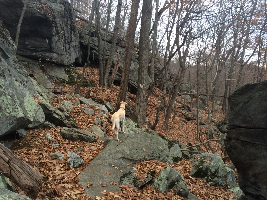
One part of this section, which
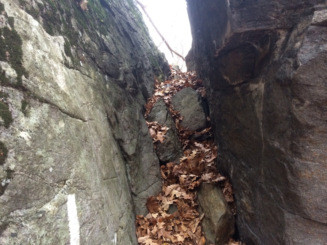
the Walk Book calls Roger’s Ramp, takes the hiker through two giant
boulders. Roscoe showed some hesitation here
so it might not be the best section for dogs.
He was particularly hesitant on the way back down to the car later. The first picture I took (below, left) didn’t
quite capture the “difficulty” of this section, so I took another picture on
the way back (below, right).
Complicating matters were those pesky leaves which made it difficult to
get good footing…
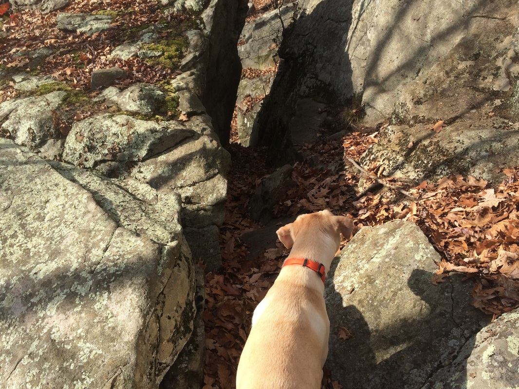
Once we were safely through
Roger’s Ramp, we continued following the AT as it makes a hairpin turn and heads
off in a northwesterly direction. From the
parking location to the highest elevation of this section, we’d climbed over
350 feet in the first mile. This wasn’t a
particularly difficult section with fresh legs.
But, I imagine this to be a tricky section for anyone who doesn’t park
at the West Cornwall Road parking location.
And, I started to worry about the descent back to the car later.
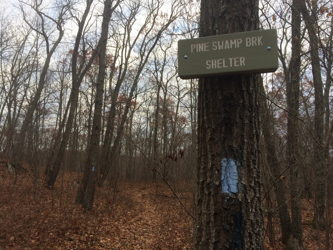
Approximately 1.2 miles in (1.1 miles per the Walk Book), we passed a side trail which leads to the Pine Swamp Brook Shelter…
Approximately 1.2 miles in (1.1 miles per the Walk Book), we passed a side trail which leads to the Pine Swamp Brook Shelter…
Roughly 2.2 miles in (2.0 miles
per the Walk Book), we crossed Mount Easter Road (the Walk Book calls it Sharon
Mountain Road)…
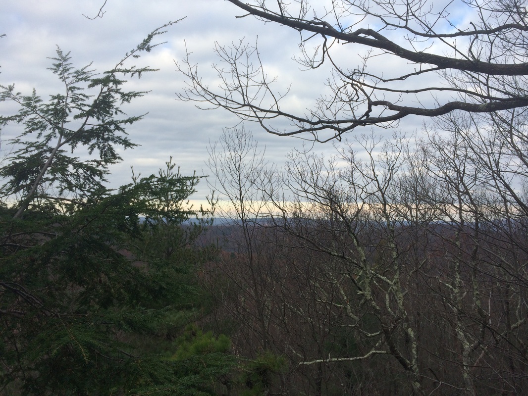
Approximately 2.5 miles in (2.3
miles per the Walk Book), we reached the Southwest shoulder of Mount Easter
(elevation: 1,390 feet). The Walk Book
notes “westerly views” here but, as you can tell, there wasn’t much to see…
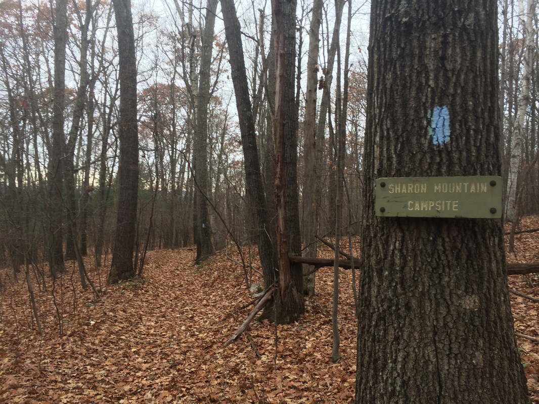
Roughly 3.8 miles in (3.5 per
the Walk Book), we passed a side trail which leads to the Sharon Mountain
Campsite…
Approximately 4.6 miles in (4.3
per the Walk Book), we reached what the Walk Book calls Hang Glider View…
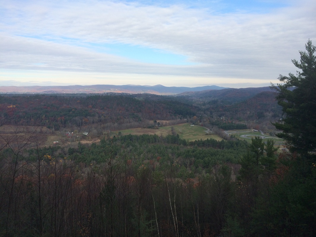
According to the Walk Book,
this northwest view includes Bear Mountain (the highest mountain summit in CT) and
Mount Everett (in Massachusetts)...both accessible along later sections of the
AT. The Walk Book also notes, in the
near-distance (to the right in the photo above), Lime Rock Park Race
Track. Finally, there is a note
recommending that overnighters at Sharon Mountain Campsite on 4th of
July hike north to Hang Glider View to watch Lime Rock’s spectacular fireworks
display.
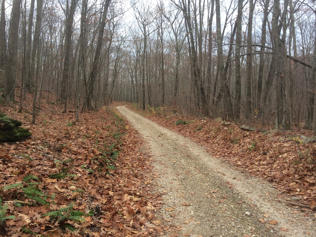
Roughly 5.6 miles in, we crossed a woods road. To be honest, we had crossed several woods roads between Mount Easter Road/Sharon Mountain Road at this point. But, this one was of particular interest to me because it looked like it would quickly connect to the northernmost section of Mount Easter Road/Sharon Mountain Road. And, I started to wonder if I could use the road as a shortcut on my return trip. I wouldn’t normally suggest this to others, but I had my Walk Book maps and I could see how the road would bring us back easily enough. For now, we continued heading due north along the AT.
Approximately 6.8 miles in, after descending over several switchbacks, we passed a side trail which leads to Belters Campsites…
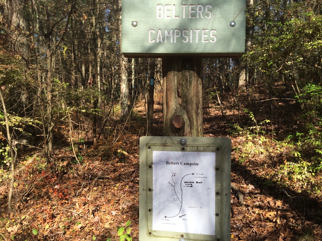
The Walk Book map shows some
overlooks/viewpoints between Hang Glider View and Belters Campsites, but I
never noticed anything. I was
disappointed because the Walk Book notes there are views of the Catskills. If I had to guess why I didn’t see anything,
it is probably due to a trail re-route.
Some of the blazes in this area looked fresh and the trail doesn’t
exactly hug the ridgeline here. Maybe I
just wasn’t paying close enough attention, but I don’t think I would ever just
miss a series of three viewpoints, which is what the Walk Book map shows.
Roughly 6.9 miles in (6.4 per the Walk Book), we reached Belter’s Bump…
Roughly 6.9 miles in (6.4 per the Walk Book), we reached Belter’s Bump…
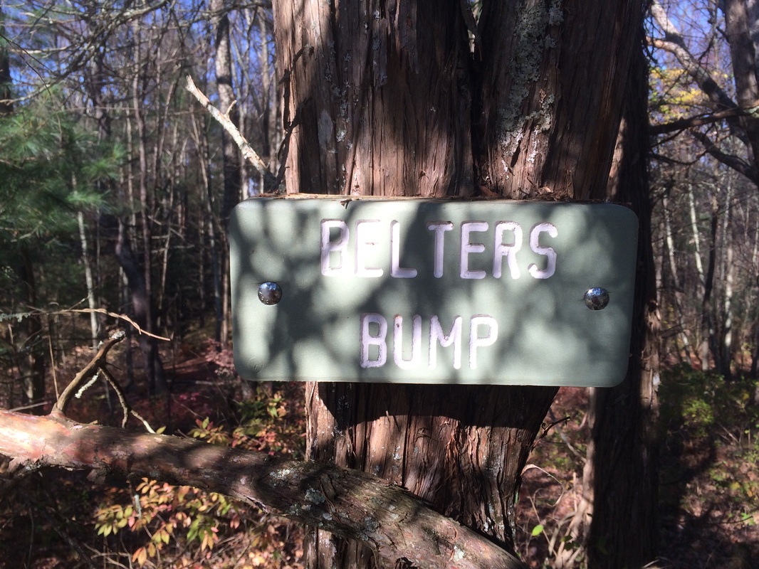
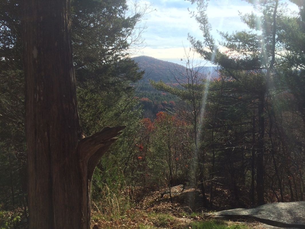
Here again, I noticed a minor mistake
on the Walk Book map. It shows there
should be a view looking to the northwest, but the view is definitely to the
southeast (overlooking the Housatonic).
From Belter’s Bump, we continued our descent.
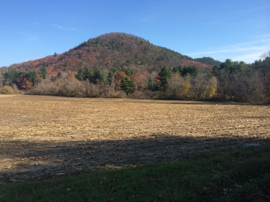
Approximately 7.2 miles in (6.6 per the Walk Book), we crossed Route 7…
Approximately 7.2 miles in (6.6 per the Walk Book), we crossed Route 7…
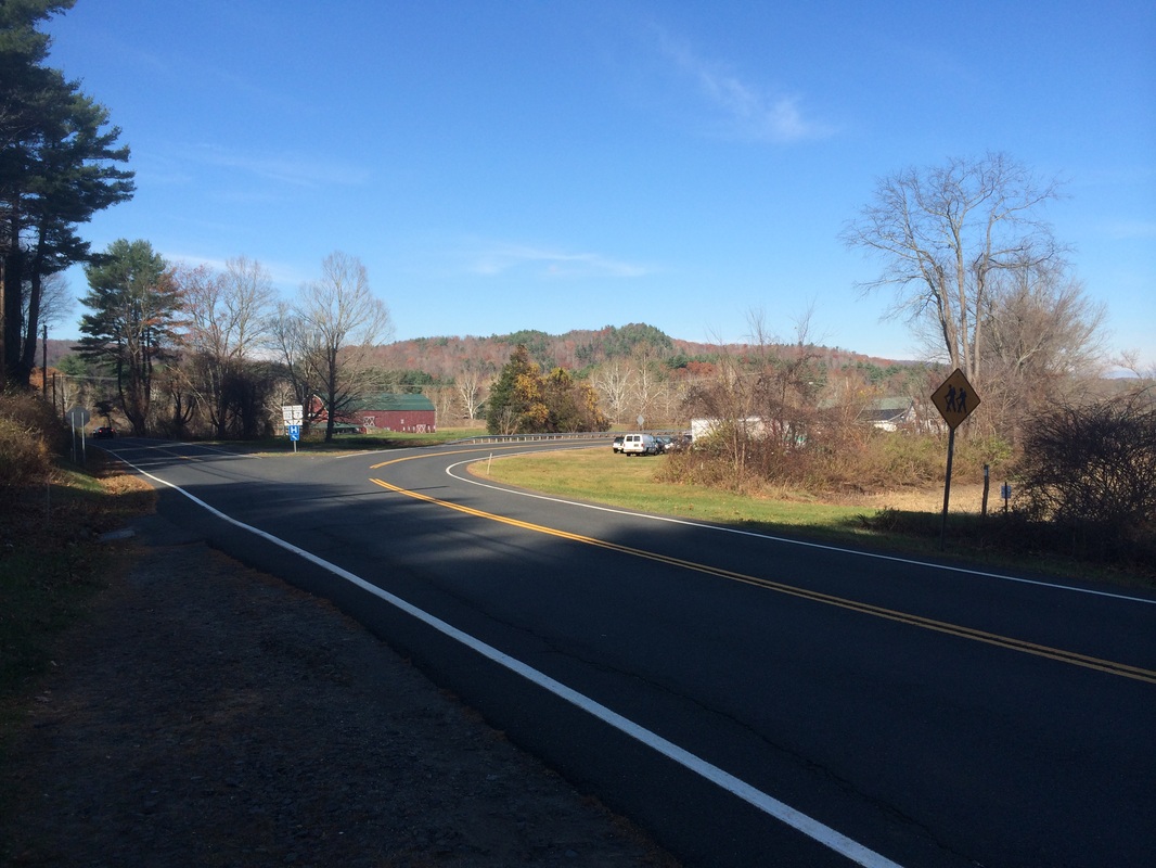
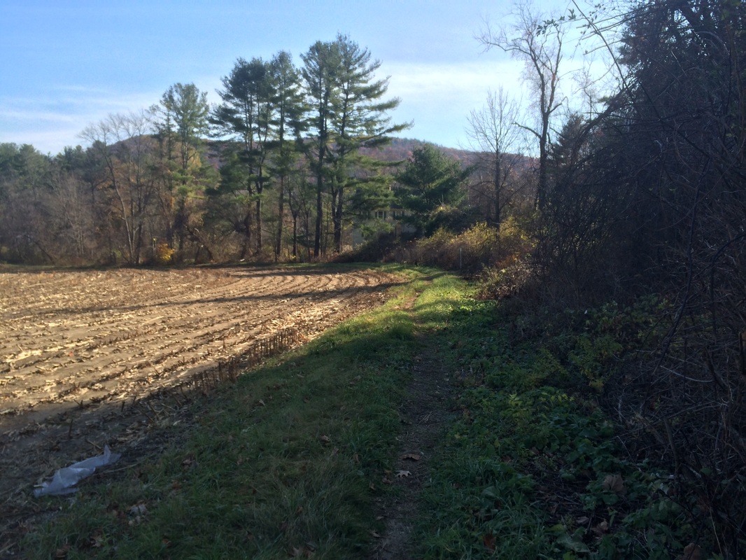
On the other side, we followed
the trail as it cut along the edge of a field…
|
|
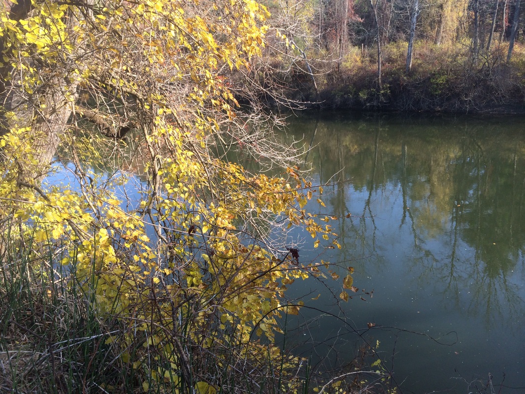
We also encountered our old
friend, the Housatonic River…
Roughly 7.6 miles in (6.9 per
the Walk Book), we reached the Hiker parking area off of Route 112 in Salisbury…
This was my planned turn-around
spot for the day. Next time I hike the
AT, I will plan to park here. But, for
today, I still had the challenge of making my way back to the car. I decided to make a small detour and, rather
than double back through the field, follow the road for a bit. After the short road walk, we connected back
to the AT and started climbing back up Sharon Mountain (elevation: 1,370 feet). This proved to be a particularly difficult
task as my legs were tired and the climb was steep. So, we stopped at Belter’s Bump for a few
minutes before continuing on.
Approximately 9.5 miles in, having returned to where I earlier found the woods road I believed to be a shortcut, we turned left (south) and went off-trail. Again, I don’t recommend this unless you have a map and/or are familiar with the area. A short while later, the woods road widened and became a drivable forest road. We continued to follow the forest road for the next 2.7 miles or so. At one point, we even came within a few yards of the AT…but, knowing that this section of the trail wasn’t overly exciting, I decided to stick to the road.
Roughly 12.3 miles in, we connected back with the AT at the Mount Easter Road/Sharon Mountain Road crossing. We continued heading due south on our way back to the car, passing the Pine Swamp Brook Shelter and cutting through Roger’s Ramp along the way.
This was a fun hike, but it wasn’t my favorite hike along the AT. There was a lot of trail in between each of the highlights and the views, of which there were supposed to be a lot, were missing. And, the views which we did encounter weren’t the greatest. That said, I’m excited I got to see Bear Mountain (that section of trail is still a few hikes away) and I’m looking forward to the next hike, as it will take us through Falls Village over the Iron Bridge and up to Prospect Mountain.
Until next time…
For a map of this hike, along with elevation data, please click here.
Total 2014 Distance: 354.29
