This Is Only A Test
Hike #129
Savannas Preserve State Park
Port Saint Lucie, Florida
Hike Distance: 9.2 Miles
Date Hiked: 3/26/2015
Date Published: 4/3/2015
Hike #129
Savannas Preserve State Park
Port Saint Lucie, Florida
Hike Distance: 9.2 Miles
Date Hiked: 3/26/2015
Date Published: 4/3/2015
Note: The following is a recap for the second of two hikes I
did at Savannas Preserve State Park while on vacation in Florida. For information about the park, please check
out my previous recap (Hike #128) and be sure to visit floridastateparks.org.
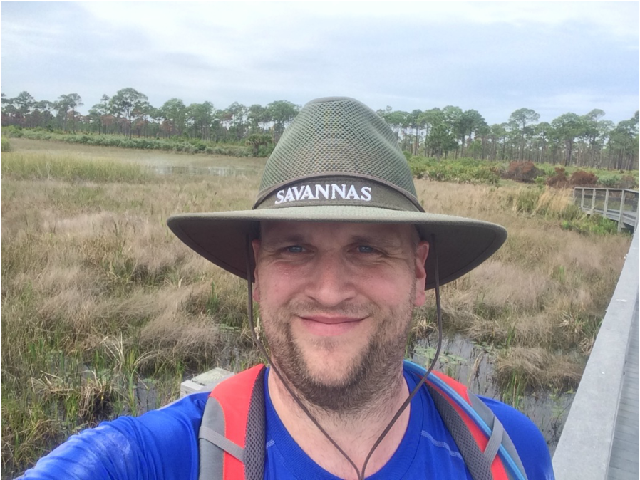
Three days after my previous hike through Savannas Preserve State Park in Florida, I had the urge to return and make a second attempt at witnessing the Florida wildlife in a natural setting. The weather report called for a clearer day than it did on my previous hike. So, I was also eager to put in more than just a handful of miles and start upping my 2015 mile count.
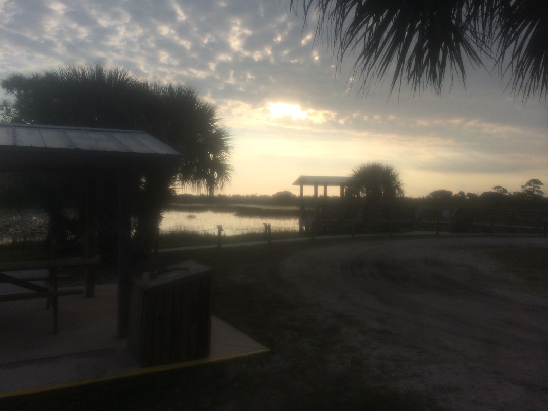
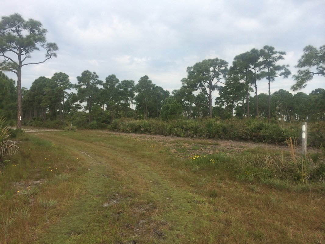
Prior to my previous Savannas hike, I parked near the Education Center. I also took a few minutes to explore the Education Center and, while there, had a conversation with the forest ranger on duty. She was even kind enough to pay my entrance fee (I was short on cash). For this hike, I elected to drive to the Canoe Launch, cutting out the first 3/4 of a mile or so of the White Trail. Before driving down the dirt road, I stopped at the Honor Box and paid the $3 entrance fee. I had a few extra singles so I put an additional $3 in the box to repay my debt from my previous visit. Once settled up, I drove down the dirt road and parked at the Canoe Launch. I geared up and hit the trail, stopping to take a picture of the picnic area with picturesque sunrise in the background…
Three days after my previous hike through Savannas Preserve State Park in Florida, I had the urge to return and make a second attempt at witnessing the Florida wildlife in a natural setting. The weather report called for a clearer day than it did on my previous hike. So, I was also eager to put in more than just a handful of miles and start upping my 2015 mile count.
Prior to my previous Savannas hike, I parked near the Education Center. I also took a few minutes to explore the Education Center and, while there, had a conversation with the forest ranger on duty. She was even kind enough to pay my entrance fee (I was short on cash). For this hike, I elected to drive to the Canoe Launch, cutting out the first 3/4 of a mile or so of the White Trail. Before driving down the dirt road, I stopped at the Honor Box and paid the $3 entrance fee. I had a few extra singles so I put an additional $3 in the box to repay my debt from my previous visit. Once settled up, I drove down the dirt road and parked at the Canoe Launch. I geared up and hit the trail, stopping to take a picture of the picnic area with picturesque sunrise in the background…
Now on foot, I started out by
back-tracking a bit and following the dirt road due south for roughly 1/10 of a
mile. Once I reached the area where the
White Trail turns off of the dirt road, I made a right and started following
white blazes in a northwesterly direction.
Approximately 3/10 of a mile in, I passed the Yellow Trail on my right. On my previous hike, I turned right to follow that trail. Today I wanted to hike along the Red Trail so I opted to stay straight on the White Trail for now. Shortly after passing the Yellow Trail, the White Trail bends to the left (west) but later turns again to head due north.
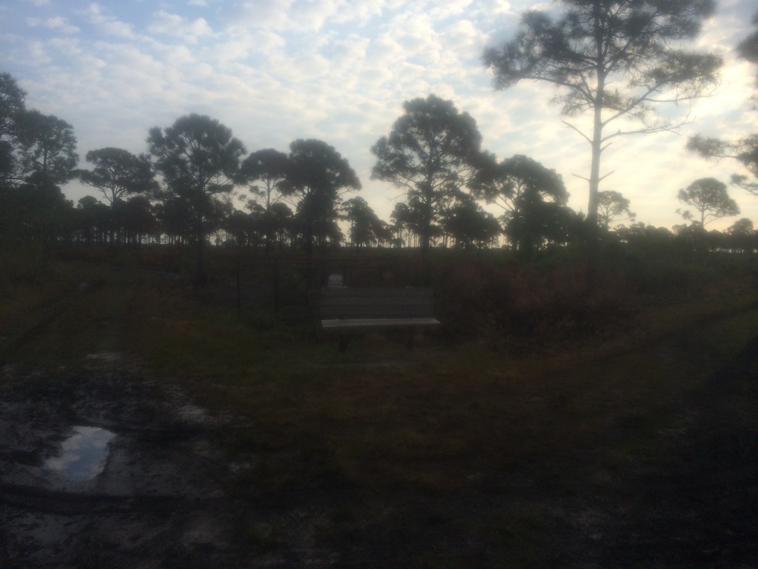
Roughly 1.1 miles in, I reached the Red Trail at this bench…
Approximately 3/10 of a mile in, I passed the Yellow Trail on my right. On my previous hike, I turned right to follow that trail. Today I wanted to hike along the Red Trail so I opted to stay straight on the White Trail for now. Shortly after passing the Yellow Trail, the White Trail bends to the left (west) but later turns again to head due north.
Roughly 1.1 miles in, I reached the Red Trail at this bench…
Here, the White Trail bears right
and continues due east before turning north again to meet back up with the Red Trail. I stayed left at the fork and followed the
Red Trail.
Three days earlier, the next section of the park was still smoking from fire damage. So, I was happy to see the flames had seemingly died down since my last hike. There was still visible damage, even on this new (to me) trail. But, the smoke was gone.
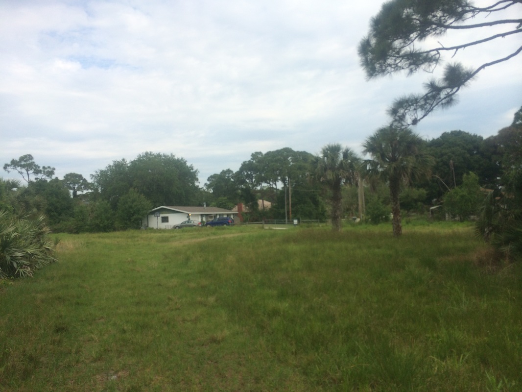
Approximately 1.9 miles in, the Red Trail passes very close to a neighborhood of houses and a small pond…
Three days earlier, the next section of the park was still smoking from fire damage. So, I was happy to see the flames had seemingly died down since my last hike. There was still visible damage, even on this new (to me) trail. But, the smoke was gone.
Approximately 1.9 miles in, the Red Trail passes very close to a neighborhood of houses and a small pond…

Roughly 3/10 of a mile later,
now 2.2 miles in, I reached the north junction with the White Trail…
In the picture above, the
path straight leads to horse watering area.
A right would allow me to follow the White Trail due south back to where
I parked. But, I still wanted to see
more of this beautiful park so I made a left and followed the White Trail due
north.
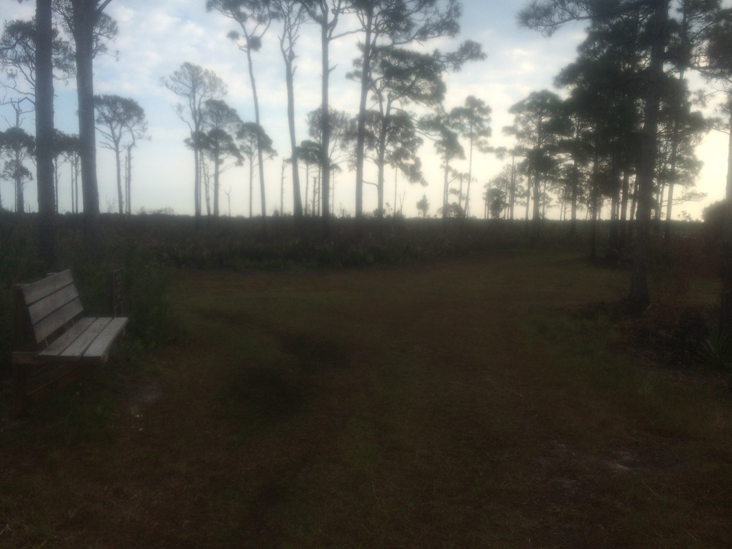
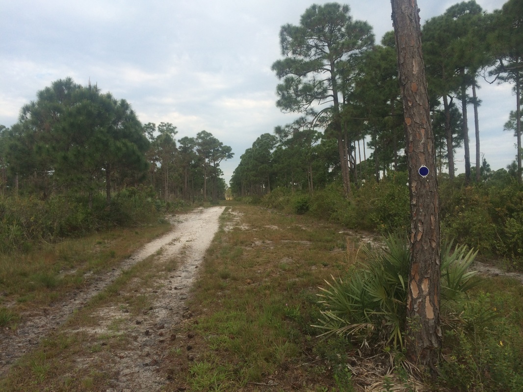
Approximately 3.0 miles in, the trail makes a hard left turn at this straight-line clearing…
Approximately 3.0 miles in, the trail makes a hard left turn at this straight-line clearing…
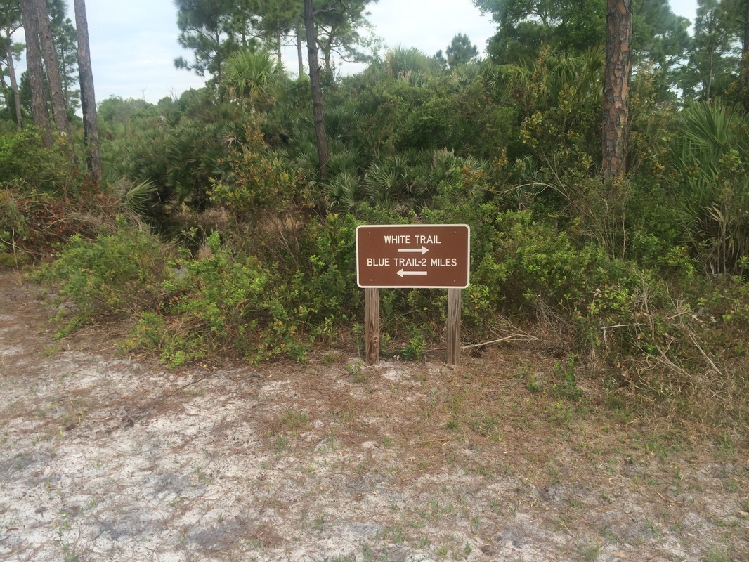
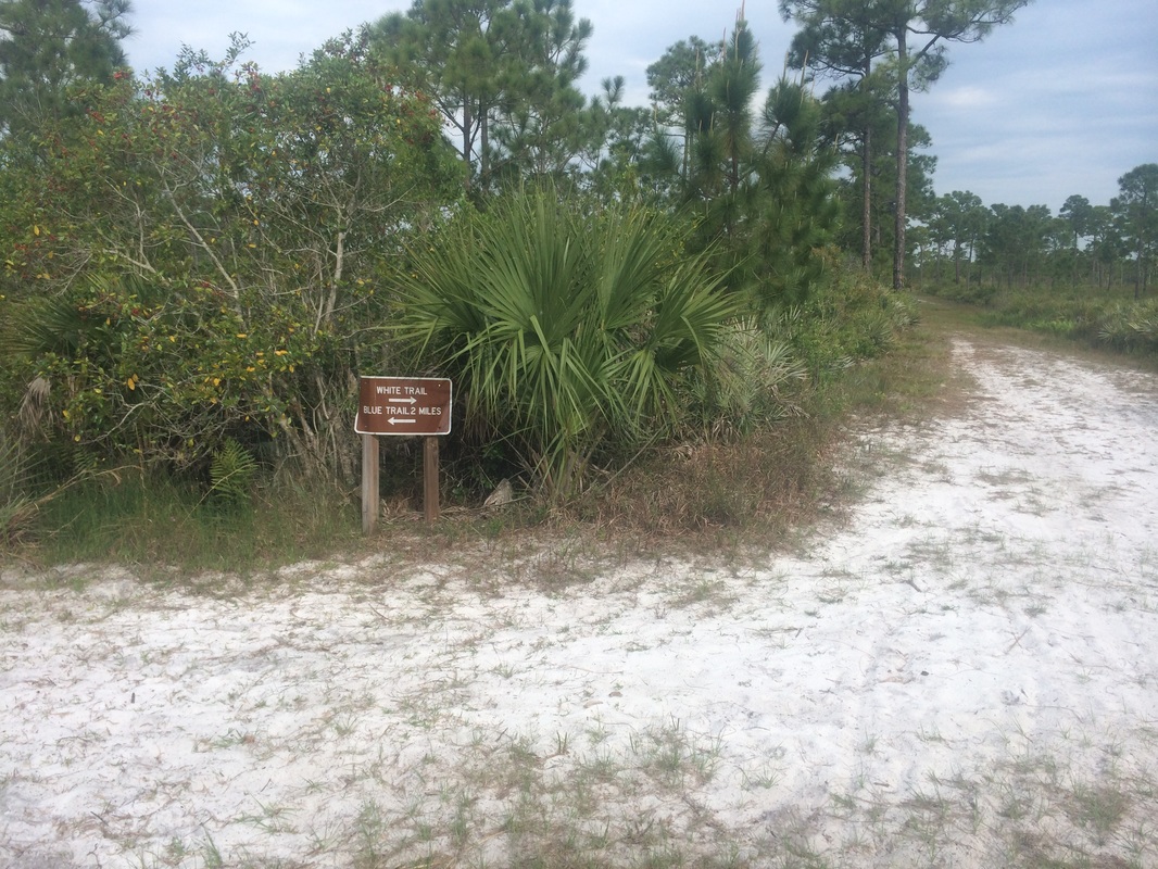
Shortly after making the
left turn, the White Trail turns again to the right. The southern terminus of the Blue Trail also heads
due west at this point…
|
|
I opted to follow the Blue
Trail, planning to cover the remaining sections of the White Trail on the walk
back to the car later. It didn’t take long
before I started to see evidence this Blue Trail is a popular trail for
horseback riding.
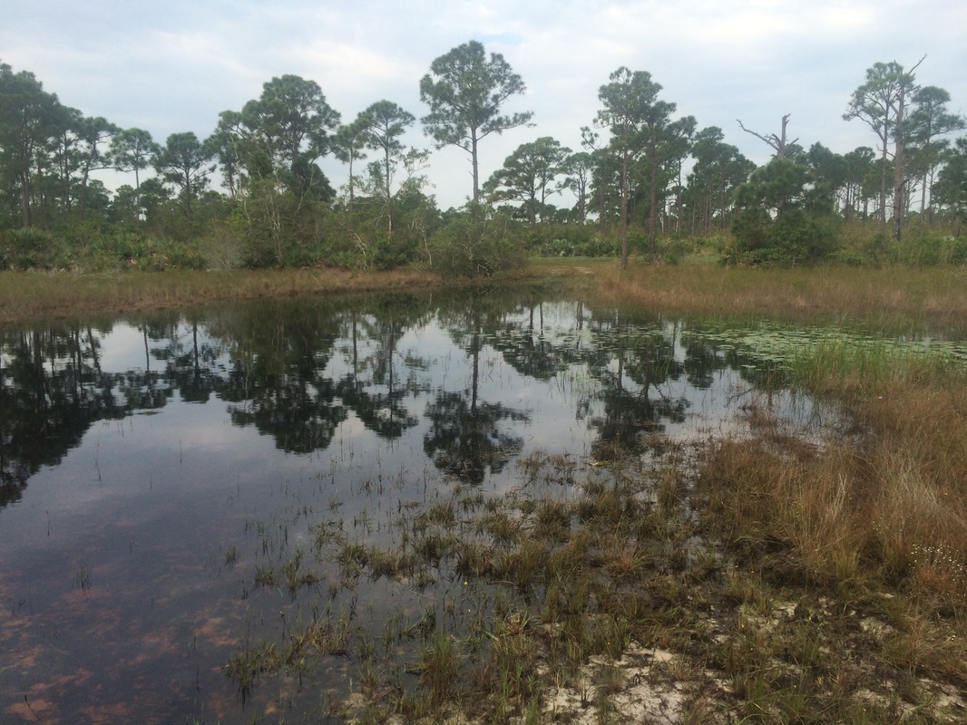
Roughly 3.4 miles in, after only following the Blue Trail for a bit, I was forced to alter plans and turn around when I reached this flooded area…
Roughly 3.4 miles in, after only following the Blue Trail for a bit, I was forced to alter plans and turn around when I reached this flooded area…
I doubled back to pick up the White Trail again. Along the way, I passed a woman on a
horse. Normally, I would’ve warned her
about the flooded area. But, our brief
conversation led me to believe she is familiar with the area and is aware of a
way around it. In hindsight, I should’ve
followed her so I could continue my journey on the Blue Trail.
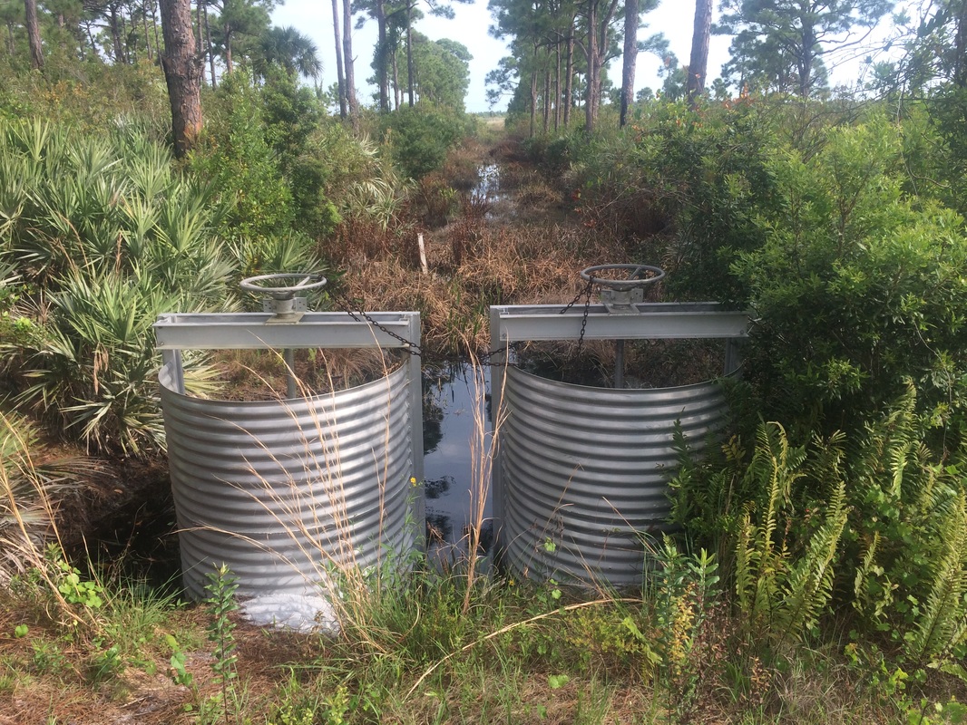
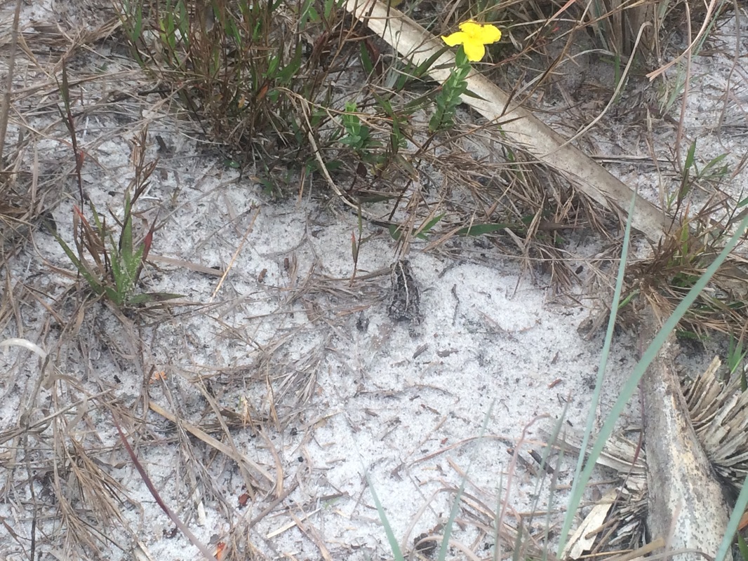
Once I made my way back to the White Trail, I turned left to head due north again, still attempting to reach the northern terminus of the White Trail near Easy Street. Along the way, I passed by some water control devices and saw a tiny frog while travelling on a sandy section of the trail…
Once I made my way back to the White Trail, I turned left to head due north again, still attempting to reach the northern terminus of the White Trail near Easy Street. Along the way, I passed by some water control devices and saw a tiny frog while travelling on a sandy section of the trail…
Approximately 4.6 miles in, I reached the north junction of
the Blue Trail...
I could’ve made a left here to try and cover the sections of
Blue Trail I missed earlier due to the flooded area. But, I eventually would’ve had to double back
again and I was more interested in reaching the northern terminus of the White
Trail. So, I stayed straight on the
White Trail.
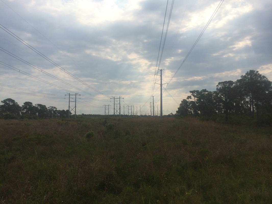
It wasn’t long before I was approaching the power lines I’d seen from a distance on my previous Savannas hike. Prior to that hike, Wren the Ranger had told me her theory about the deer in the park and how she believes they’re coming in through the power line cut. Unable to figure out how else the deer would be crossing the very busy U.S. Route 1, I’m inclined to agree with her. Approaching the area on this hike, I was excited at the prospect of seeing some wild Floridian deer. Along the way, I passed a man who was out for a jog. I figured that meant I was also approaching civilization.
As I got closer to the power lines, I heard what sounded like a mechanical, recorded voice counting up (“1, 2, 3, 4, 5”) and then back down. If you’ve ever seen the show L O S T, I felt like Desmond in the hatch. And, I had the sudden urge to enter a code and press the EXECUTE button. Only later, as I got even closer to the power lines and heard “This is a test…This is only a test” followed by the same countdown repetition, did I realize Florida Power & Light was doing some kind of line test. I’m still not sure what they were testing…maybe just something they do to keep birds from nesting on the lines…but I was happy to at least partially solve the mystery of the mechanical voice.
Roughly 4.9 miles in, I reached and crossed the power line cut…
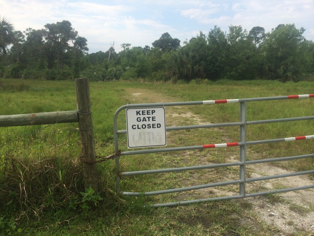
Shortly after, now approximately 5.1 miles in, I reached the
neighborhood of Papaya Drive…
|
|
According to the park map, the White Trail continues all the
way to Easy Street, but I didn’t see any blazes beyond the gate. So, I decided to walk until my feet touched
concrete and turn around. As I did, I
saw a gecko run along a post near the gate and decided to take a picture…even
though I’d already seen a million of these guys while lounging at the pool
earlier in my vacation. He was camouflaged
well, but I knew I could get a good picture if I timed it perfectly to catch
him while he was doing that funny red-colored balloon thing from his neck…
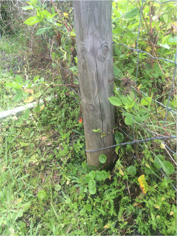
I’m not sure if people will be able to find him in the photo,
but I think I nailed the timing.
From Papaya Drive, I turned south and made my way back to the parking area. Along the way, I made a quick detour to check out the Yellow Trail again. I think this is my favorite trail because of the two foot bridges and the proximity to the water.
This was a fun hike. After two separate hikes and more than 15 miles, I was disappointed I didn’t get to see anything other than a woman on a horse, a small frog, and a gecko. But, I was happy to get out and knock some miles off of my goal for 2015. Now that I’m back in Connecticut and the snow is melting, I’m looking forward to making better progress in April and beyond than I did in February and March. We’ll see how I do.
Until next time…
For a map of this hike, along with elevation data, please click here.
Total 2015 Distance: 132.9
(367.1 to Goal)
