Hikes # 151, 152, & 153
American Legion State Forest & Peoples State Forest
Barkhamsted, Connecticut
Total Hike Distance: 10.8 Miles
Date Hiked: 1/2/2016
Date Published: 1/2/2016
On my previous hike (#150), I made my way northbound on the Appalachian Trail from the Kay Wood Shelter Trail to the Crystal Mountain Campsite Trail. After that hike, the last for which I typed a recap in 2015, I vowed to try and make future hikes more local. But, I also really wanted to get back to some of the hikes in the Connecticut Forest & Parks Association (CFPA) Walk Books. And, unfortunately, I’ve already hiked most of the trails described in those books which are close to our house in East Hartford. So, I decided to turn to page #1 of the Walk Book West and start picking my way through the trails in alphabetical order…or, at least, mostly in alphabetical order.
So, with all of that out of the way, I made a plan to take Roscoe and head up to American Legion State Forest in Barkhamsted. The trailhead for one of the trails is about 45 minutes from our house, which might not seem like a “local” hike. But, as I pointed out earlier, all of the good local hikes were already done. And, 45 minutes in the car is a lot more local than the 90 minutes it was taking me to get to the AT trailheads in western Massachusetts.
From the Walk Book:
American Legion State Forest and Peoples State Forest are situated on opposite sides of the Farmington River’s West Branch in Barkhamsted. A 14-mile network of hiking trails provides opportunities for exploration of the forests’ rugged terrain with rocky cliffs, spectacular waterfalls, and breathtaking views of the Farmington River Valley. The trails lead to several historic and cultural sites, including old mills, a soapstone quarry, and a former Indian settlement known as the Barkhamsted Lighthouse. Because of their easy access to the river, both forests are popular recreation destinations for fishing, canoeing, kayaking, and tubing. On the east side of the river, a recreational field and two picnic groves offer shaded sanctuaries for post-hike activities.
The American Legion Forest was acquired through a gift to the state in 1927 from the Connecticut Department of the American Legion. Its members, World War I veterans, had seen the benefits of well-managed forests in France in Germany, and wanted to provide the same opportunity for natural resource conservation in their home country. There are two blue-blazed hiking tails in the forest, the Henry Buck Trail and the Turkey Vulture Ledge Trail. Most of the trails and roads in the forest are the work of the CCCs.
From the Walk Book:
This blue-blazed loop trail honors Henry R. Buck, vice president of the Connecticut Forest & Parks Association from 1928-1930. A Yale-educated civil engineer who directed construction of Connecticut’s CCC camps. Mr. Buck designed and built the trail that today bears his name. A little over two miles long, it passes through a beautiful mature forest that is approaching old-growth stage. In late April and early May, dozens of native wildflower species grow in abundance along the first half-file of trail.
To reach the trailhead:
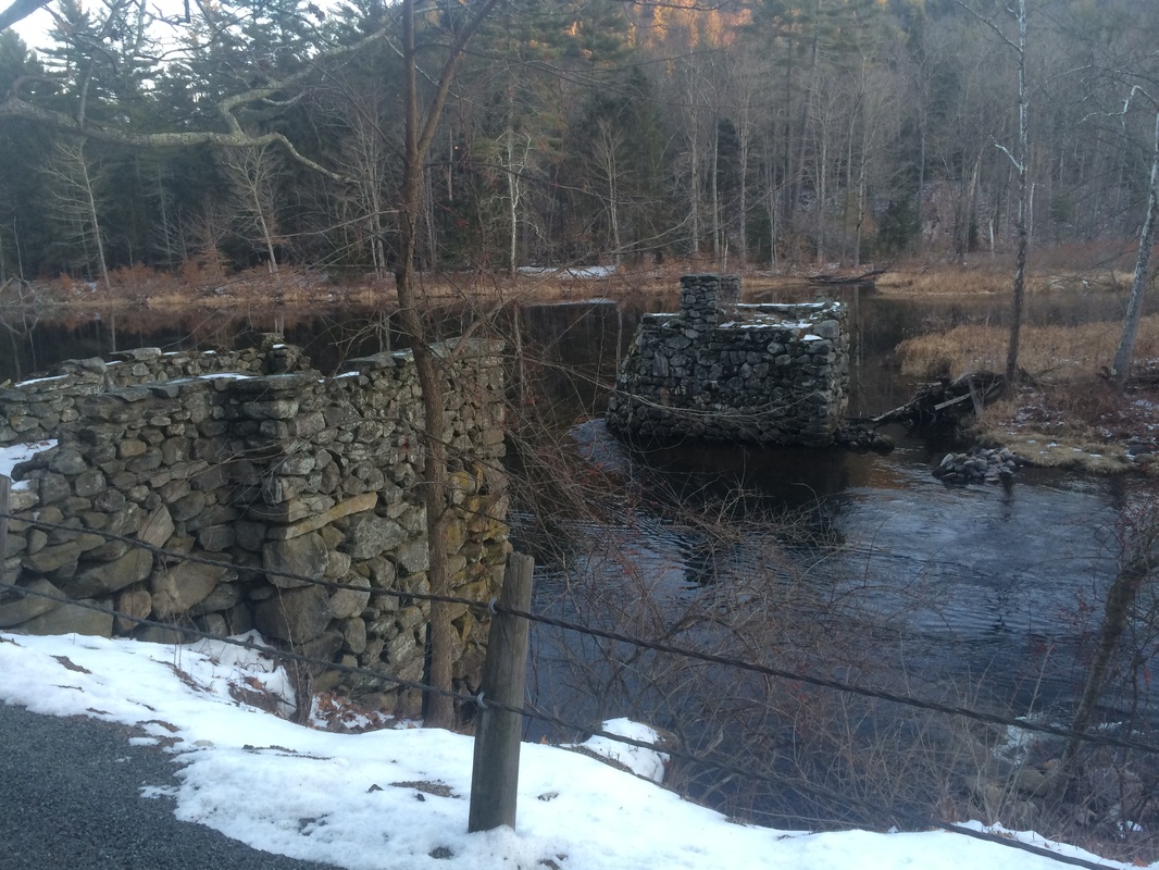
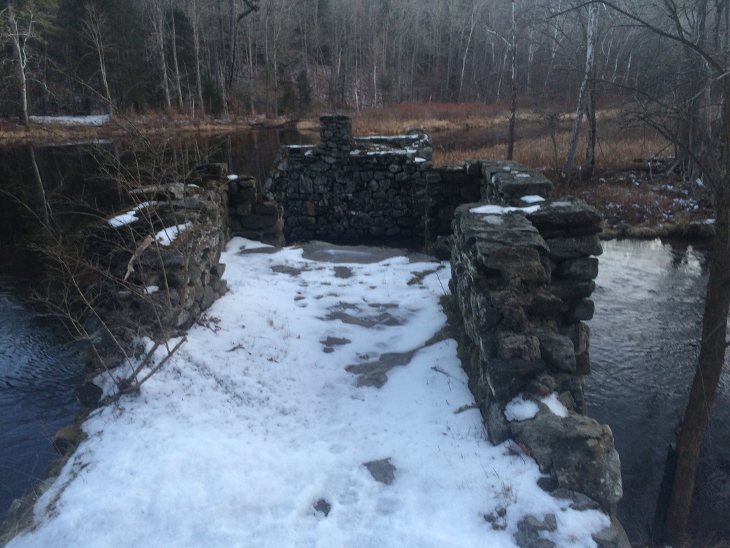
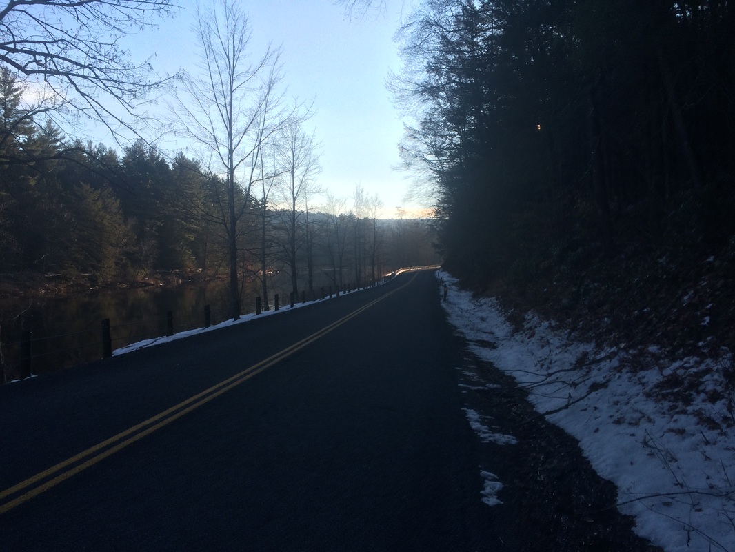
From junction of Route 318 and Route 181 in Pleasant Valley, go north on West River Road 2.5 miles to ruins of footbridge that was destroyed in the 1938 hurricane. The trailhead is on West River Road, across from the stone abutments at the edge of the Farmington River. Roadside parking is available for four or five cars.
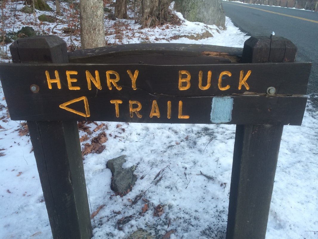
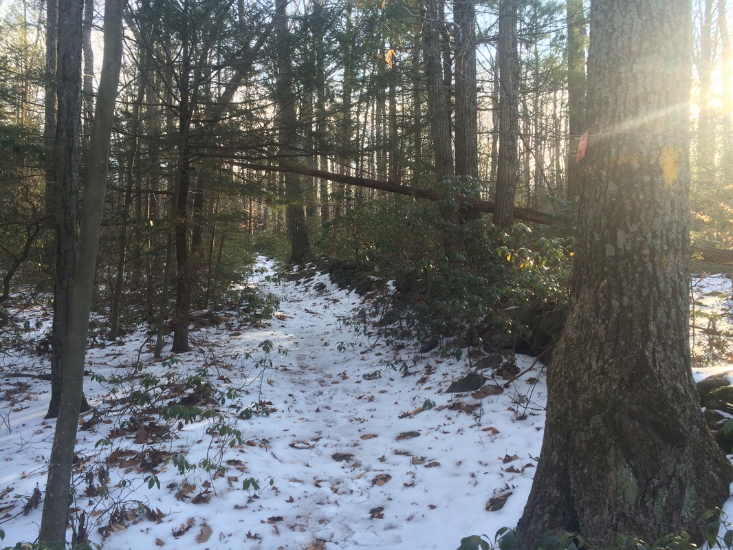
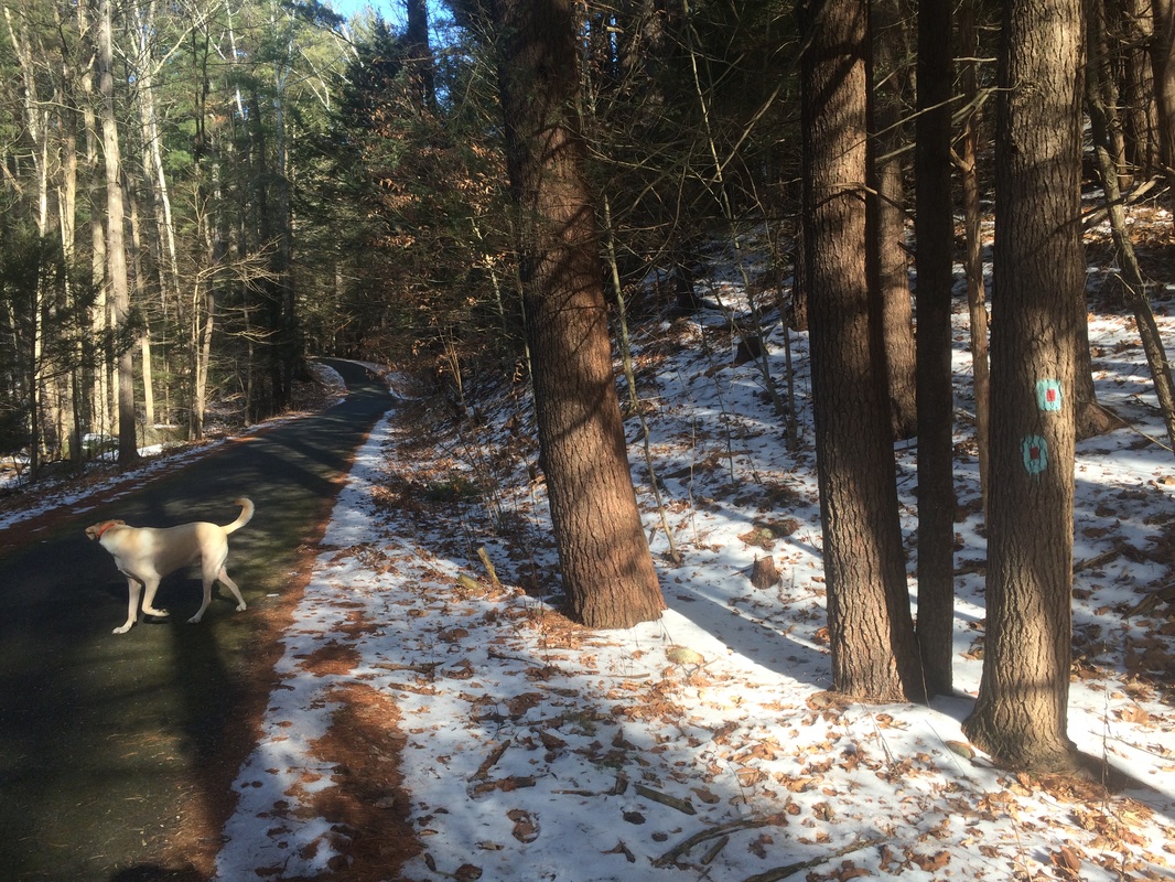
The Henry Buck Trail starts simply enough as it heads gradually uphill (an elevation change of about 300 feet in the first 3/4 of a mile). We had some light snowfall in the area earlier this week and, as a result, I found the climbs a little more challenging in the difficult footing.
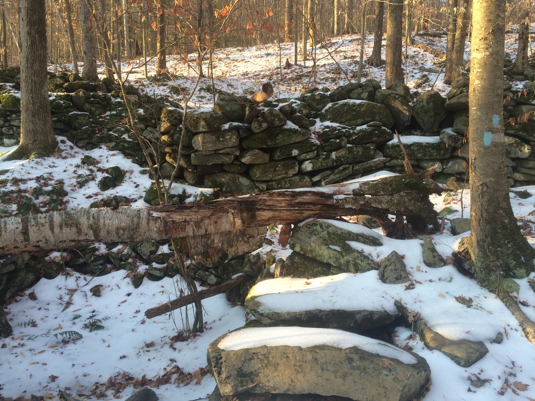
Approximately .8 of a mile in, we reached this old foundation and rock wall…
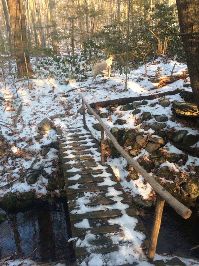
A little while later, now .9 of a mile in, we crossed this foot bridge…
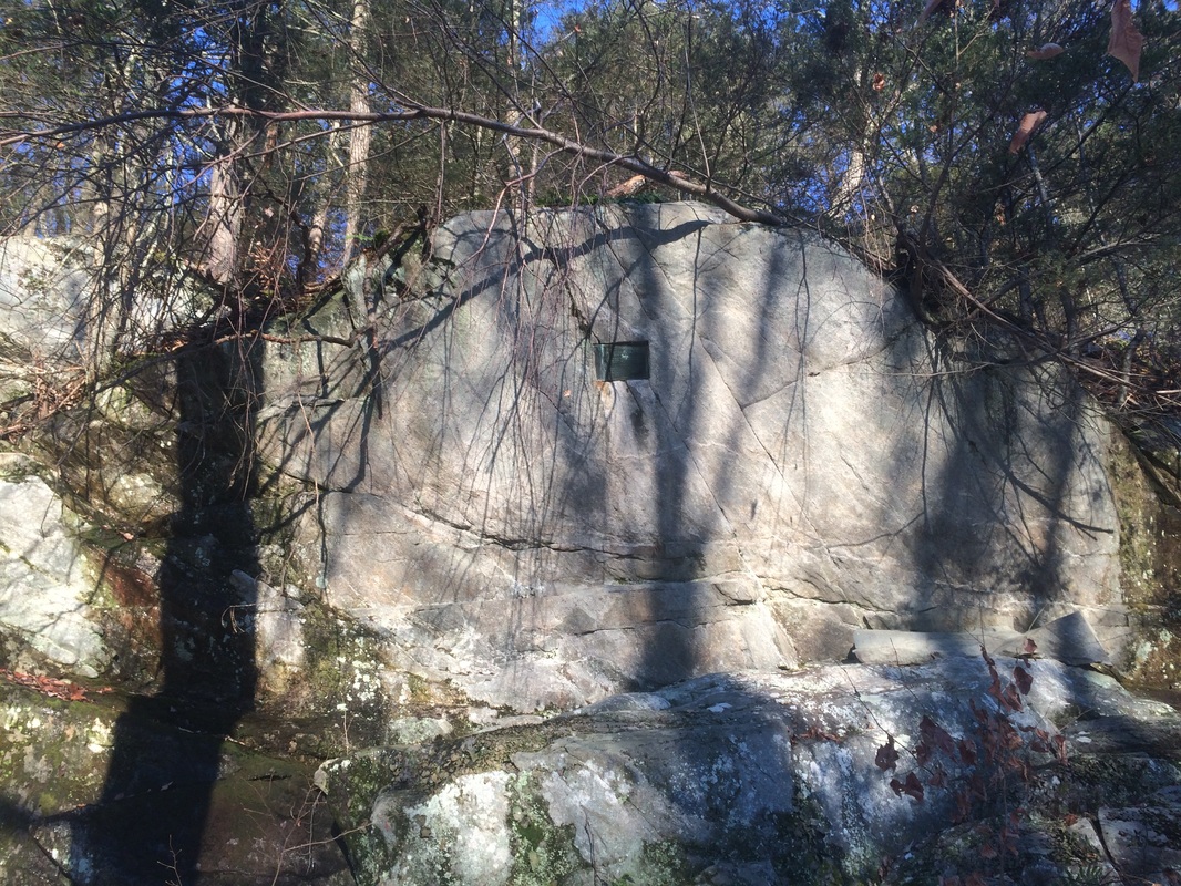
In better conditions, I would’ve climbed up the ledge to get a better view. But, I’ve read over at CTMQ the plaque can be quite difficult to see even with the extra effort. I wanted to conserve my energy and not risk a bad fall this early in the day, so I continued on my way.
A short while later, we reached some ledges with what I will call “views”. But, understand I’m using that term loosely. All I could really see was the valley below where I was hiking earlier in the day. Maybe this is more enjoyable in the spring/summer months, but it wasn't enjoyable enough for me to hang around. So, we didn’t linger.
Approximately 1.8 miles in, I came to a difficult section. I don’t have any pictures because I was more focused on my footing, but I found this spot interesting. The Walk Book makes a point to note how the cliffs are “tremendous”, but I wouldn’t go that far. They were nice…but maybe spending so much time on the AT recently has spoiled me. I will say the climb back down the other side was fun. And, by “fun” I mean hold on to every tree limb possible because the sun hasn’t touched this side of the mountain since the snowfall and the trail was a sheet of ice. Good times!
Roughly 1.9 miles in, after a few slips but no falls, we returned to West River Road…
For a map and an elevation graph of this hike, please click here.
From the Walk Book:
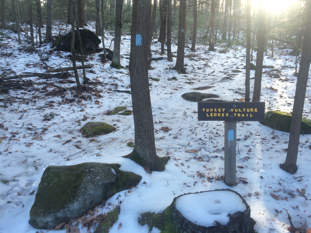
Aptly named, this blue-blazed trail features a steady ascent to heights where turkey vultures and other raptors can be seen soaring on the thermals updrafts that rise from the river below. A short climb with little elevation gain, it’s an easy outing for hikers of every experience level.
To reach the trailhead:
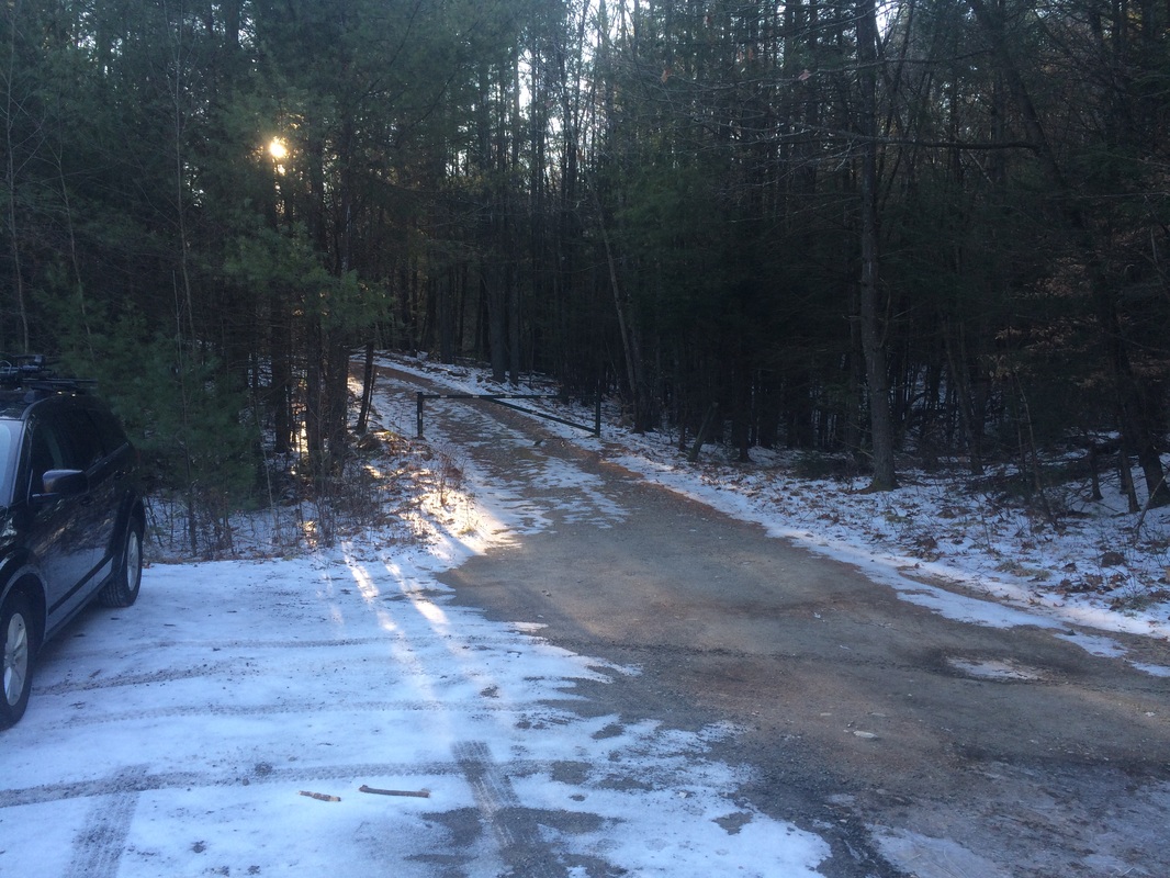
From Pleasant Valley, head north on West River Road about 2.4 miles and turn left at sign for CCC Camp White. Take immediate left on unpaved Legion Road and go uphill 1.5 miles to parking for 5-6 vehicles in dirt pull-off on right, just after crossing seasonal Tanager Brook. (Note: Road is closed from first snow until about May 1).
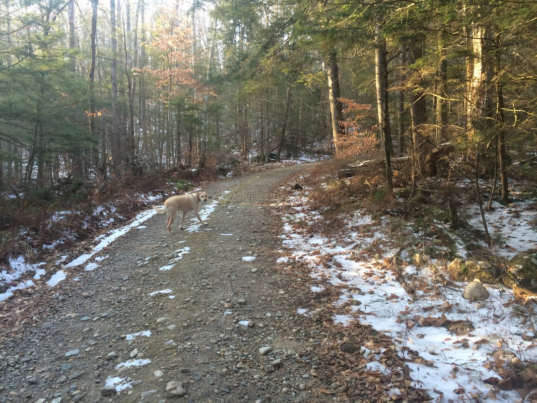
Having completely glossed over that last line when planning my hikes, I was somewhat surprised to find Legion Road closed. I wasn’t completely surprised because, at this point, I’ve spent enough time in these State Forests to know the dirt and gravel roads are closed in the Winter. No big deal. This would give me a reason to stretch my legs a little more and, ultimately, turned what would’ve been a hike of less than a mile to something which actually resembled a hike. I parked the car as close to the gate as possible and we set out on hike # 2 for the day…
A short while later, now roughly 1.4 miles in, we reached this rock wall…
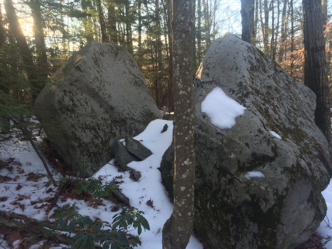
Approximately 1.6 miles in, we passed this large boulder with a split in the middle…
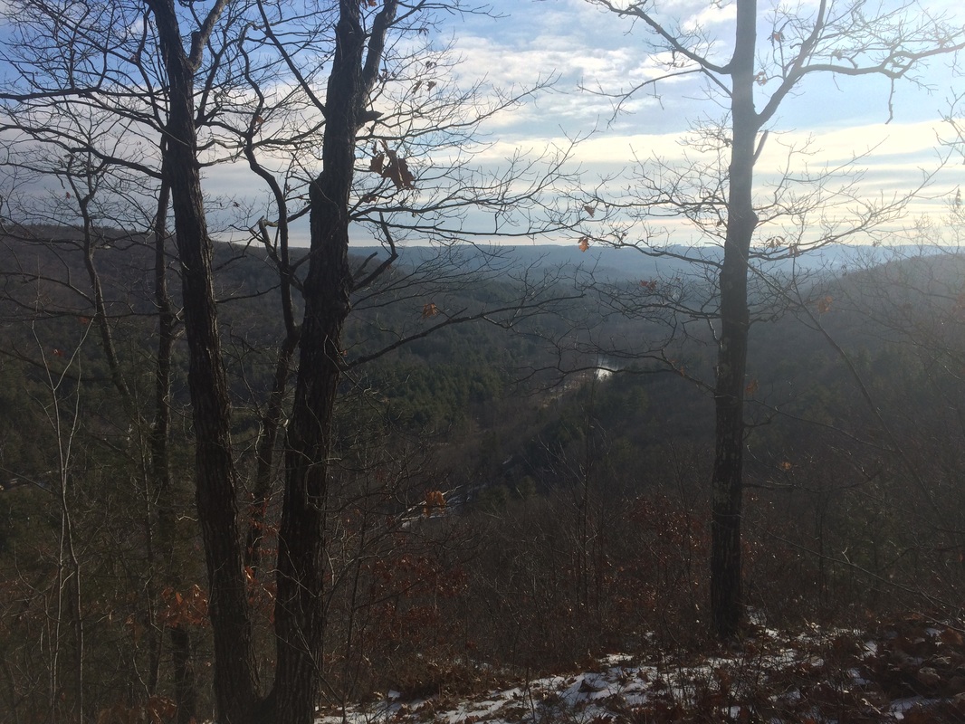
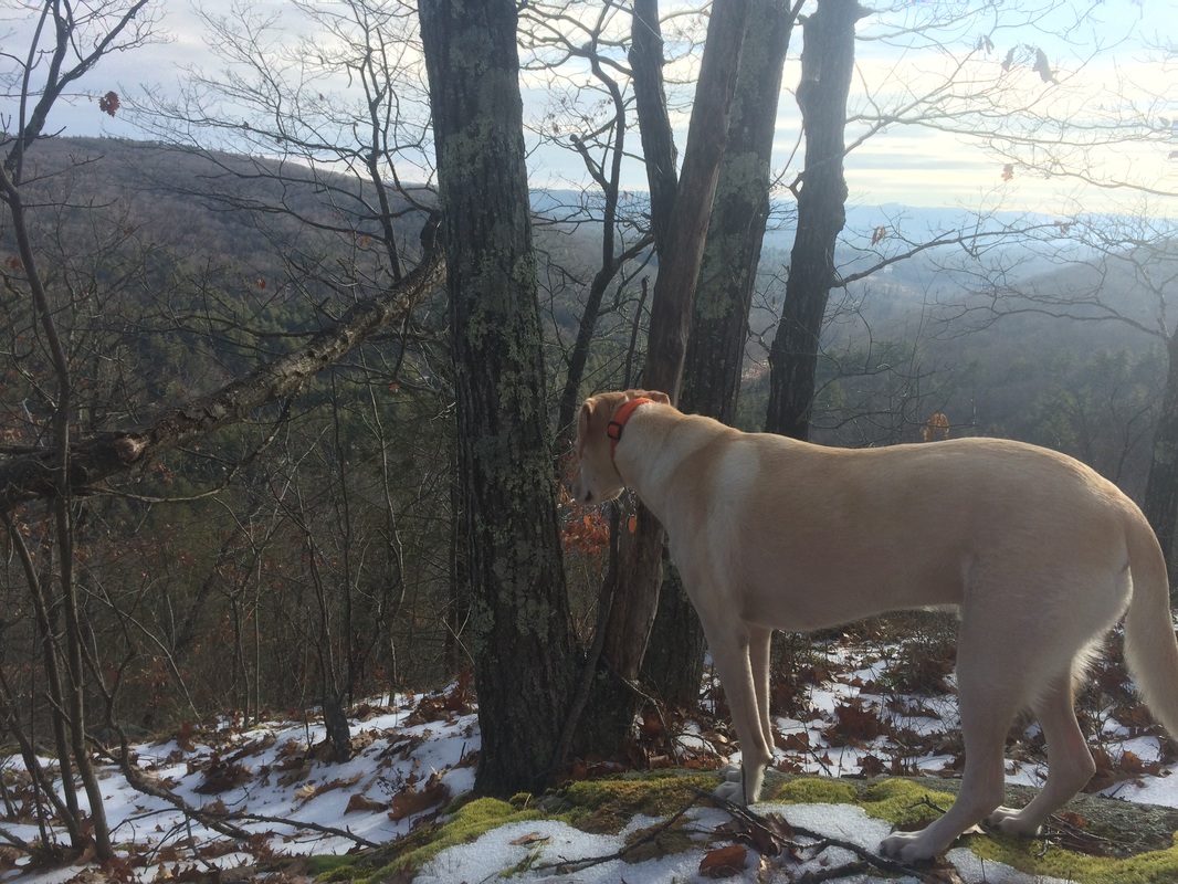
Roughly 1.7 miles in, we reached the end of the trail, and took in some views of the Farmington River Valley below…
In total, combining the walk on the closed portion of Legion Road and the short distance on the Turkey Vulture Ledge Trail, this hike was just under 3.5 miles.
For a map and an elevation graph of this hike, please click here.
From the Walk Book:
Peoples State Forest was established in 1924 through the efforts of the Connecticut Forest & Parks Association, which coordinated donations and public subscriptions. Private individuals and citizens’ groups such as the Daughters of the American Revolution and Connecticut Federation of Women’s Clubs purchased the land by subscription and collectively donated it to the state to be used as a “forest for the People.” The seven blue-blazed hiking trails throughout Peoples State Forest are named in honor of some of the people who took part in the forest’s development.
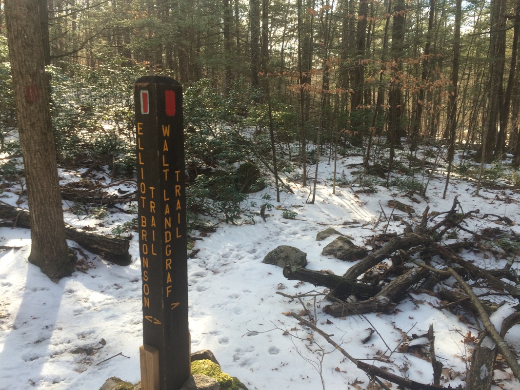
At one time, I hoped to hike all of the trails outlined in the Walk Book along with the two trails in the American Legion State Forest in a single day. But the more I thought about the total distance, the more I realized this might be biting off more than I could chew. So, I elected to do the southernmost trails in Peoples State Forest, the Elliot Bronson Trail and the Walt Landgraf Trail, and return for the others on another day. I decided I would park at the trailhead for the Elliot Bronson Trail, hike the trail West to East, and cover the Walt Landgraf Trail on the return trip.
From the Walk Book:
The blue/red-blazed Elliot Bronson Trail extends across the southern portion of the forest. It begins at the Stone Museum, climbs steeply over Ragged Mountain and descends to Park Road.
To reach the trailhead:
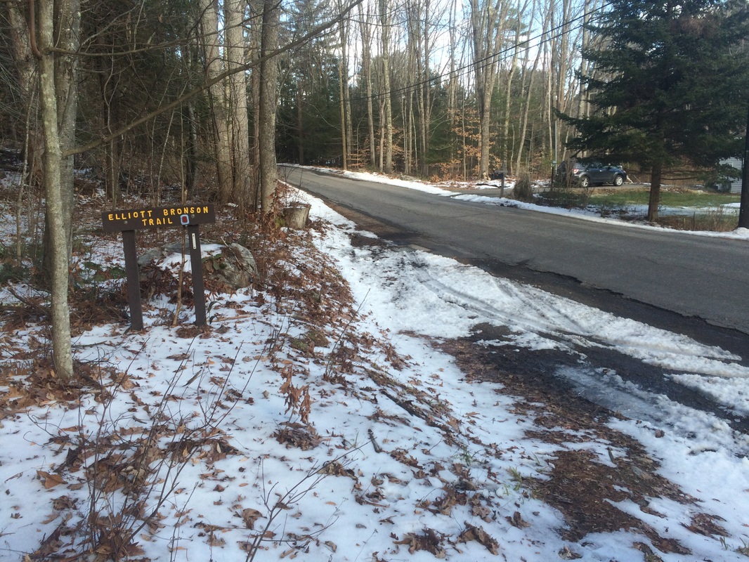
From East River Road, turn right on Greenwoods Road and continue 0.1 mile to parking on right for four or five cars.
Naturally, as I made the turn from East River Road to Greenwoods Road, I found a gate in my way again. No big deal. Another road walk wasn’t going to kill me and I expected this one to be a lot shorter. I geared up, got a bewildered Roscoe out of the car again, and hit the trail.
It wasn’t long, approximately .1 of a mile in, before I reached what I thought was the trailhead…
Roughly 1.1 miles in, after ascending more than 600 feet over a category 3 climb, we reached the top of Ragged Mountain (elevation: 1,040 feet). There isn’t a sign or any views at the top. In fact, I only know the height of the summit because it is noted on the Walk Book map and in the description. Distance-wise this is a short climb, but it is steep and I was struggling in the snow. I had to pause more than once to catch my breath.
Other than the climb, there wasn’t anything noteworthy on the trail. So, let’s take a moment to learn more about the Bronson family.
From the Walk Book:
Elliott B. Bronson (1858-1931) of Winchester Center was a land agent who worked to consolidate contiguous properties on the land that became Peoples State Forest. Upon his retirement, his son Elliott P. Bronson (1899-1983) continued the work his father had begun. The younger Bronson later became Connecticut’s Parks Director. His son was Elliott C. “Bud” Bronson. Of all the Bronson’s, Bud had the longest tenure with the State of Connecticut - 38 years. He initially worked for the state’s Park and Forest Commission, the forerunner of today’s Department of Environmental Protection (DEP), where he was the Senior Environmental Analyst for many years. The forestry and land preservation ethic is deeply rooted in the family - Bud Bronson’s son, Joel Elliott “Jody” Bronson, is the head forester for the 7,000-acre Great Mountain Forest in Norfolk.
Approximately 1.9 miles in, we passed the Walt Landgraf Trail on our right…
Roughly 2.2 miles in, we reached Park Road/CT Route 181 and the eastern terminus of the Elliott Bronson Trail…
Once we reached the road, we turned and started our journey back to the car. Along the way, now approximately 2.5 miles in, we made the turn to follow the Walt Landgraf Trail.
From the Walk Book:
This red-blazed trail honors Walt Landgraf, historian, curator of the Stone Museum, and longtime CFPA Trail Manager for the Peoples and American Legion State Forest trails. The Landgarf Trail is a short spur off the Bronson Trail that leads to a former Native American soapstone quarry. When the soapstone deposit was depleted, the shallow overhang at the base of the cliff provided shelter. The site was excavated in the late 1940s by a group from Yale, revealing extensive use by native peoples over a 3,000 year period.
The Walk Book lists the Walt Landgraf Trail at .2 of a mile one way.
Roughly 2.8 miles in, after passing the overhang noted in the Walk Book, I reached the end of the line at this red “x” blaze…
While I was taking the photo, I noticed Roscoe had continued beyond the “x” blaze. I was tired, but I wasn’t quite ready to return to the car so I decided to follow him. Every once in a while, the dog and his nose lead me to see things I otherwise would’ve totally passed up. This being one of those times, we continued on an unmarked portion of the trail which lead to the top of the overhang and a nice view of the former soapstone quarry below. Good doggie!
Having had our fill of the Walt Landgraf Trail, we followed our footprints in the snow back to where the blazes started up again and back to the Elliott Bronson Trail from there. By the time we returned to the car, we had hiked approximately 5.2 miles.
All in all, this was a pretty satisfying way to start the 2016 hiking campaign. There wasn’t a ton of highlights in terms of views, but there is a ton of history in these two state forests and I like forward to the other trails in Peoples State Forest. I hope to return at some point in the next two weeks…possibly sooner rather than later…to complete the remaining trails. And, even though I said I wasn’t going to keep track of such things, I’m already ahead of my 2015 pace by more than 6 miles. Maybe I’ll try for 500 miles again after all…just kidding…or am I?
Until next time…
For a map and an elevation graph of this hike, please click here.
