Perfect
Hike #131
Tunxis Trail
Ski Sundown (New Hartford, CT) to Route 219 (Barkhamsted, CT)
Hike Distance: 8.7 Miles
Section Distance (Per CFPA Walk Book): 4.3 Miles
Date Hiked: 4/18/2015
Date Published: 4/18/2015
Hike #131
Tunxis Trail
Ski Sundown (New Hartford, CT) to Route 219 (Barkhamsted, CT)
Hike Distance: 8.7 Miles
Section Distance (Per CFPA Walk Book): 4.3 Miles
Date Hiked: 4/18/2015
Date Published: 4/18/2015
On
our previous Tunxis hike, Roscoe and I made our way from the banks of the Farmington
River to the slopes of Ski Sundown. For
this hike, we would pick up right where we left off…at a small parking location
off of Ratlum Road in New Hartford. Our
journey would bring us to a pair of nice views, overlooking Lake McDonough and
the Barkhamsted Reservoir, on the way to Route 219 in Barkhamsted.
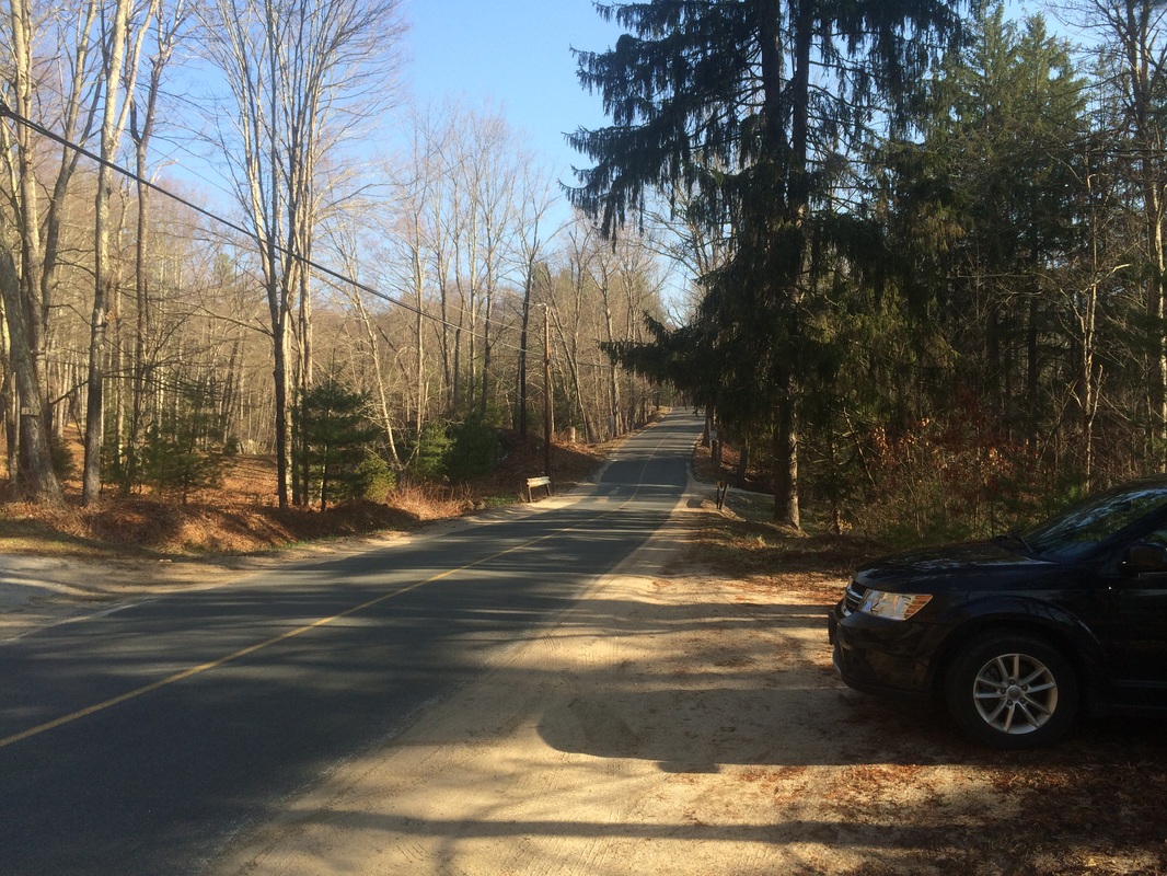
To reach the parking location from Hartford:
Follow Route 44 West through Hartford, West Hartford, Avon, and Canton. Shortly after enter New Hartford, turn right on Route 219. In 1.4 miles, turn right on Ratlum Road. The parking location is on the right side of Ratlum Road, shortly after the large parking lot for Ski Sundown. Note: the lot for Ski Sundown is closed to the public in the offseason.
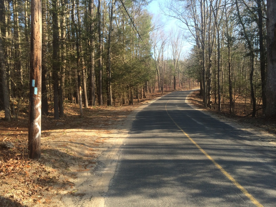
From
the parking location, we set out heading due north. The trail follows Ratlum Road for a short
walk before making a hard left and entering the woods on the west side of the
road.
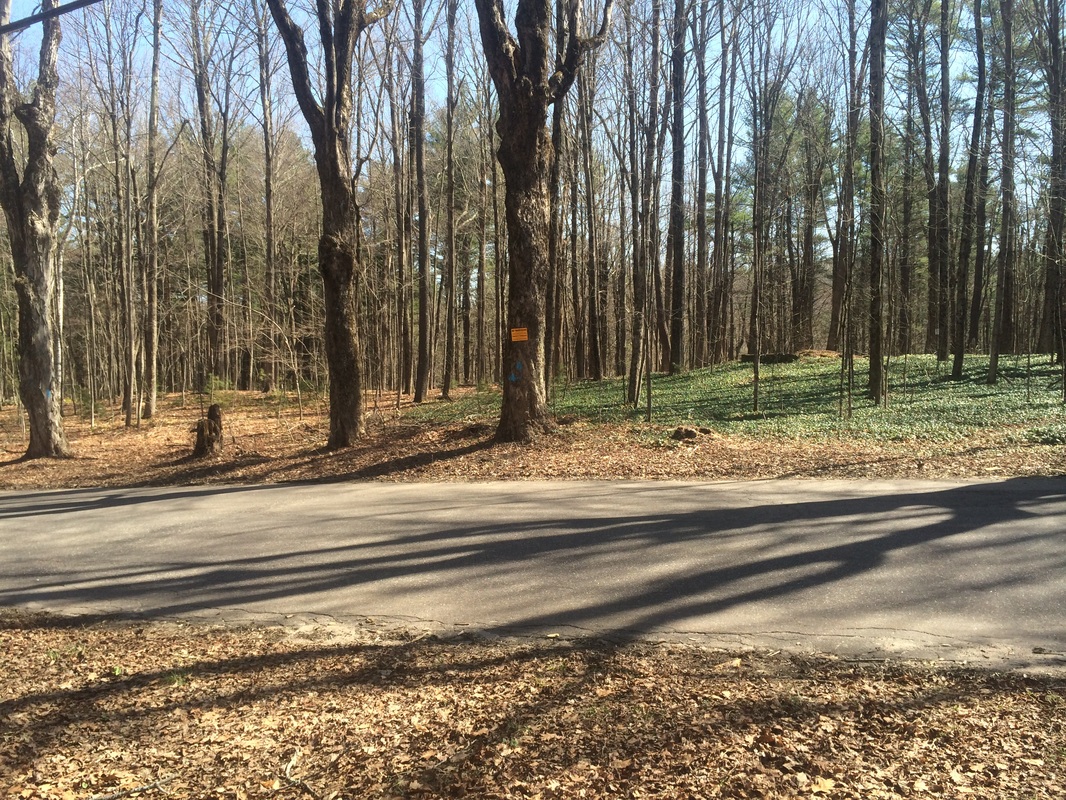
Approximately 1/10 of a mile in, we made the left and entered the woods…
Approximately 1/10 of a mile in, we made the left and entered the woods…
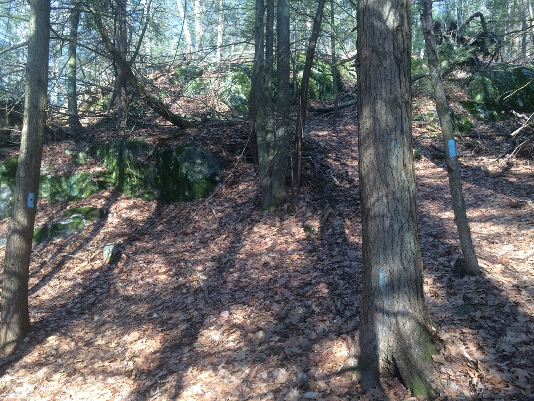
Almost
immediately the trail begins to climb. There
are a few down and back ups along the way, but the general trend for the next
2.5 miles or so is up. The grade is
steep enough for my MapMyHike app to mark it as a category 4 climb (1 being the
steepest and 5 being the most gradual).
Some climbs even reminded me of my Appalachian Trail hikes from the
fall, but part of that could be because I’m out of shape from the harsh winter.
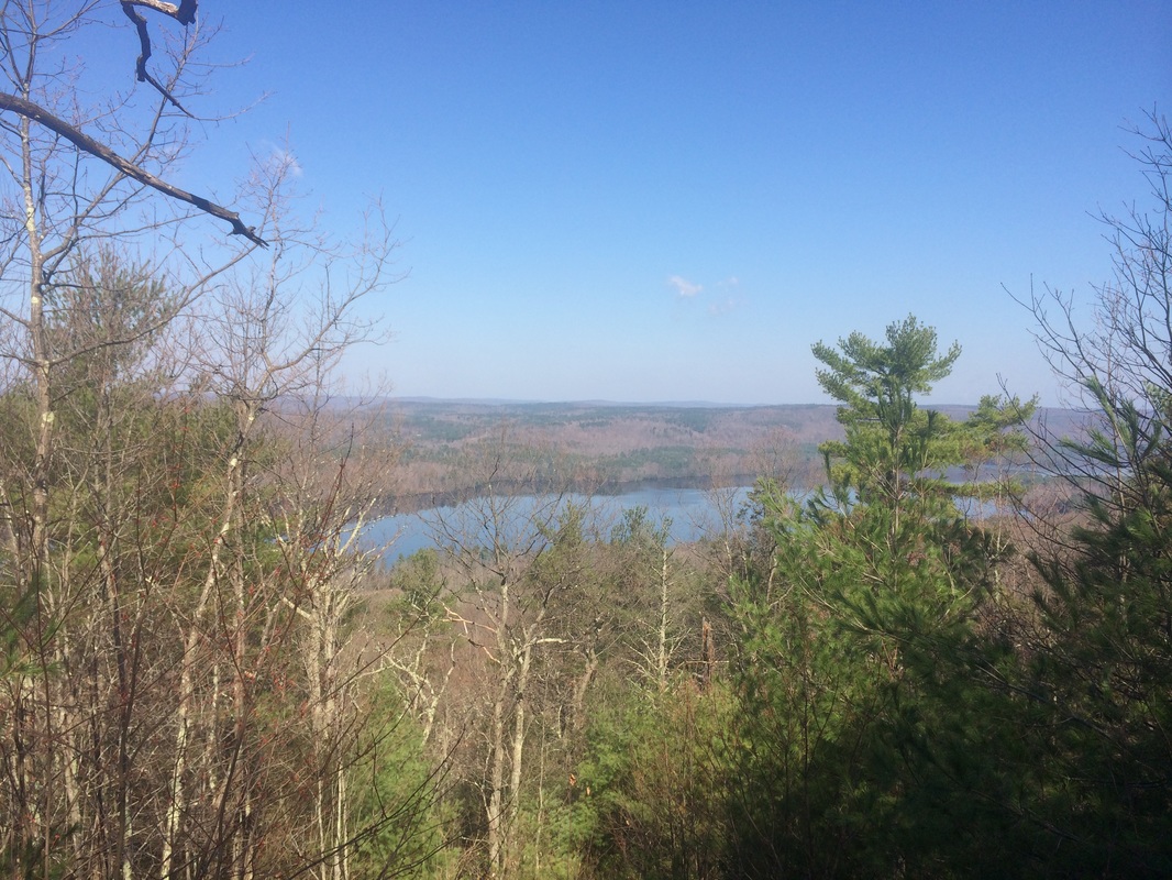
Roughly 3/4 of a mile in, we came to a side trail marked with blue-red blazes…
Roughly 3/4 of a mile in, we came to a side trail marked with blue-red blazes…
The
Walk Book, which I’d consulted prior to the hike, explains this is a short side
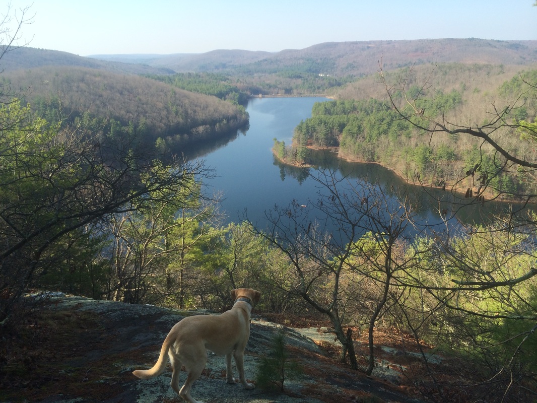
trail leading due west to views of Lake McDonough.
Lake McDonough offers numerous ways to enjoy the surrounding area. There are beaches and picnic areas. Rowboat rental is available and fishing is allowed in-season.
We made the slight left turn and followed the trail for about 1/10 of a mile (getting lost a bit on the way) to the view in the picture at the top of this recap. After enjoying the early morning view for a few moments, we turned and made our way back to the mainline trail.
Approximately 1 mile in, we made a hard left turn and started following the Tunxis again.
Roughly 1/10 of a mile later, we came to this trail register…
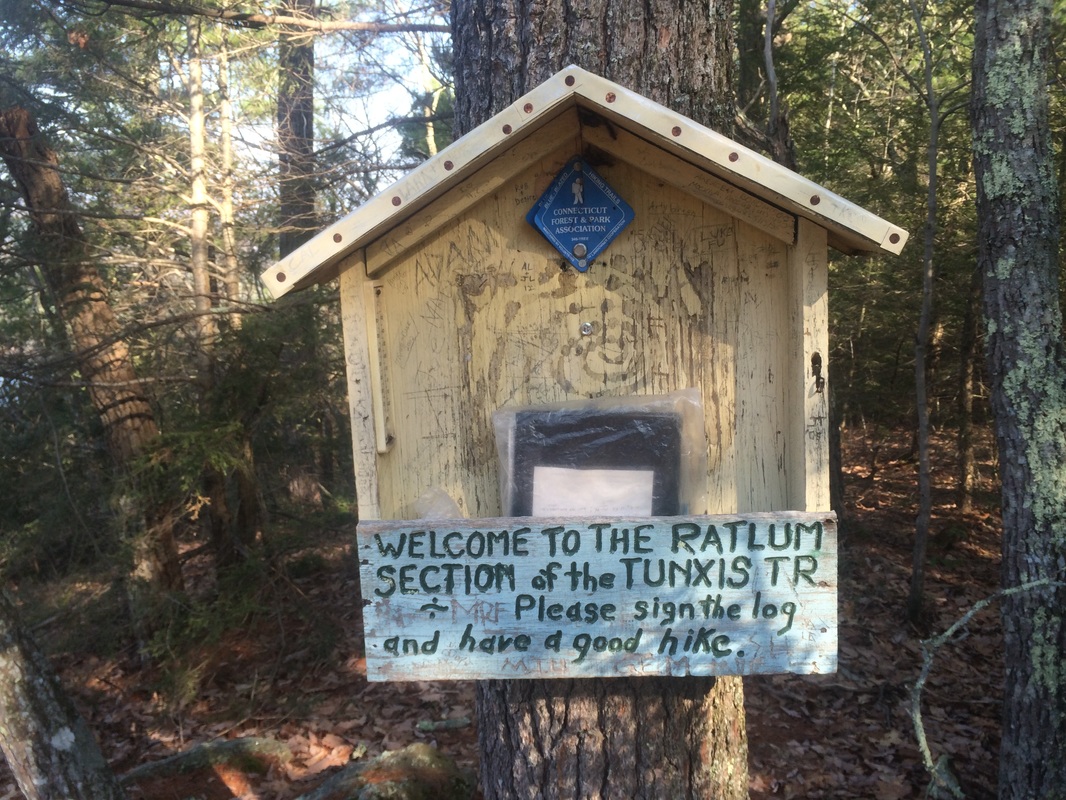
I
added a quick note about the perfect weather and signed with my usual “Eric and
Roscoe” (with dog paw and Greenhorn, Blue Blazes).
The next 2 miles or so didn’t offer any highlights, but that doesn’t mean this section of the trail is boring. Quite the opposite, in fact. It crosses several rocky streams and changes elevation quite a bit, keeping me on my toes.
Approximately 3.1 miles in, we reached what I originally expected to be the highlight of this hike. I don’t know why, but I expected the next overlook to include a view of the Saville Dam. I was a little disappointed to find that it doesn’t include a view of the dam. There is still a nice view of the Barkhamsted Reservoir and the surrounding area, so I wasn’t overly disappointed …
The
Barkhamsted Reservoir, made by the construction of the Saville Dam from 1936 to 1940, is the primary water
source for the city of Hartford. It is
almost 8 miles long and has a volume of 36.8 billion gallons. The construction of the reservoir flooded
many buildings and farms in Barkhamstead, including the village of Barkhamsted
Hollow…which I found particularly interesting having recently completed the
first season of The Returned (the French version, not the garbage American version
currently airing on A&E).
From the overlook, the trail descends as it leads back to Ratlum Road.
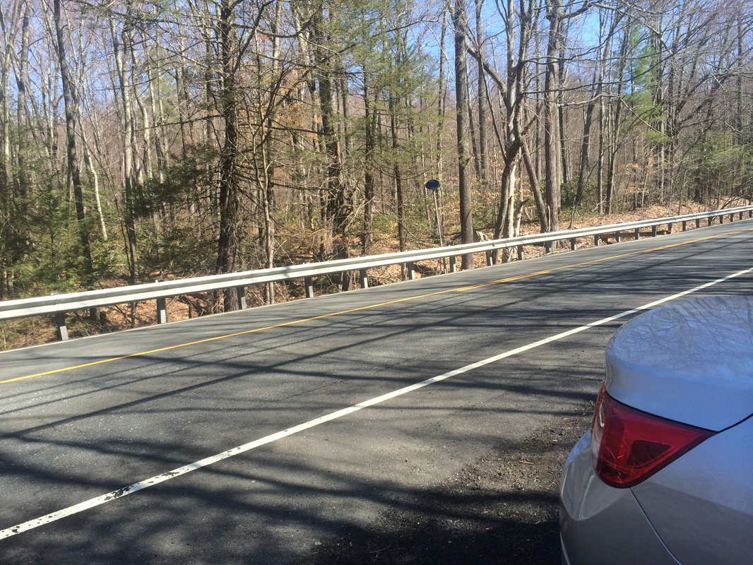
Roughly 3.5 miles in, we made a left to follow the road for a short walk before turning right to enter the woods again…
From the overlook, the trail descends as it leads back to Ratlum Road.
Roughly 3.5 miles in, we made a left to follow the road for a short walk before turning right to enter the woods again…
On
the other side of Ratlum Road, the trail climbs again. I originally thought the Barkhamstead
Reservoir overlook (elevation: 1,110 feet) was the high point of this hike. So, I was a bit surprised to find the trail
climbing as much as it did on the east side of Ratlum Road. According to the Walk Book and my MapMyHike
app, the elevation here is actually higher (1,120 feet). I know 10 feet doesn’t sound like much but
this caught me off guard.
Approximately 4.5 miles in, after descending from the high point, we reached my pre-designated turn-around spot at the parking location off of Route 219 in Barkhamstead…
Approximately 4.5 miles in, after descending from the high point, we reached my pre-designated turn-around spot at the parking location off of Route 219 in Barkhamstead…
We
took a short break to re-fuel, re-hydrate, and catch our breath. After a few minutes, we started the trek back
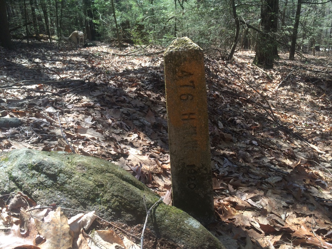
to the car. Along the way, we passed
this strange marker in the middle of woods.
The Walk Book doesn’t mention it so I have no idea what it is but it is
clearly marked for something…
This
was a great hike and the weather was perfect.
I’m really looking forward to our next hike on the Tunxis, which will
bring us to Indian Council Caves.
Until next time…
Until next time…
For a map of this hike, along with elevation data, please click here.
Total 2015 Distance: 182.6
(317.4 to Goal)
