River Walk
Hike # 111
Appalachian Trail
North Kent Bridge Parking Area (Kent, CT) to Guinea Brook (Sharon, CT)
Direction of Travel: Northbound
Section Distance (Per CFPA Walk Book): 5.5 Miles
Hike Distance: 12.08 Miles
Date Hiked: 10/18/2014
Date Published: 10/21/2014
Note: On Columbus Day, prior to the hike described in this recap, I re-hiked portions of the Metacomet Trail in Simsbury, Bloomfield, and West Hartford. Since I’ve already typed a recap for that section of trail (Hike #32), I’m not going to cover it again. However, that hike added 9.65 miles to my total for 2014, bringing my mile count to 314.49.
I spent most of the summer months playing softball, riding my bike, and running. I tried hiking out of state, and that worked for a while. But, even Vermont eventually fell victim to the onslaught of bugs and heat. So, I put hiking on hold until recently, when I slowly started to make it part of my leisure activities again. Now that the leaves are starting to turn, I thought it might be a good idea to return to hiking in Connecticut. And, I thought it would best to pick it up right where I last left off...on the AT.
Those of you familiar with my site might recall that my last CT hike was along the Appalachian Trail. On that hike, # 103, Roscoe and I spent Memorial Day making our way from Route 341 to the North Kent Bridge Parking Area along River Road in Kent. You also might recall that once we reached the North Kent Bridge Parking Area, after making our way down from St. John’s Ledges, Roscoe had a nice little swim in the Housatonic Rover before we started our journey back. As I started planning this hike, I remembered that moment and I was immediately looking forward to his post-hike swim in that same location.
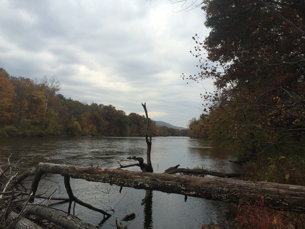
To reach the parking area, I followed 84 West to Route 4 West then followed a series of lesser known local routes (118 and 341) through western Connecticut. Eventually, after about 90 minutes of driving, we crossed Route 7. Then, almost immediately, we crossed over the Housatonic River and I made a right on Skiff Mountain Road. After about a mile, I made another right on River Road. As I made the turn, I noted a large sign advising River Road was not maintained during the winter. After another 2.5 miles, we finally reached the parking area. We geared up and hit the trail, passing a green gate…
Hike # 111
Appalachian Trail
North Kent Bridge Parking Area (Kent, CT) to Guinea Brook (Sharon, CT)
Direction of Travel: Northbound
Section Distance (Per CFPA Walk Book): 5.5 Miles
Hike Distance: 12.08 Miles
Date Hiked: 10/18/2014
Date Published: 10/21/2014
Note: On Columbus Day, prior to the hike described in this recap, I re-hiked portions of the Metacomet Trail in Simsbury, Bloomfield, and West Hartford. Since I’ve already typed a recap for that section of trail (Hike #32), I’m not going to cover it again. However, that hike added 9.65 miles to my total for 2014, bringing my mile count to 314.49.
I spent most of the summer months playing softball, riding my bike, and running. I tried hiking out of state, and that worked for a while. But, even Vermont eventually fell victim to the onslaught of bugs and heat. So, I put hiking on hold until recently, when I slowly started to make it part of my leisure activities again. Now that the leaves are starting to turn, I thought it might be a good idea to return to hiking in Connecticut. And, I thought it would best to pick it up right where I last left off...on the AT.
Those of you familiar with my site might recall that my last CT hike was along the Appalachian Trail. On that hike, # 103, Roscoe and I spent Memorial Day making our way from Route 341 to the North Kent Bridge Parking Area along River Road in Kent. You also might recall that once we reached the North Kent Bridge Parking Area, after making our way down from St. John’s Ledges, Roscoe had a nice little swim in the Housatonic Rover before we started our journey back. As I started planning this hike, I remembered that moment and I was immediately looking forward to his post-hike swim in that same location.
To reach the parking area, I followed 84 West to Route 4 West then followed a series of lesser known local routes (118 and 341) through western Connecticut. Eventually, after about 90 minutes of driving, we crossed Route 7. Then, almost immediately, we crossed over the Housatonic River and I made a right on Skiff Mountain Road. After about a mile, I made another right on River Road. As I made the turn, I noted a large sign advising River Road was not maintained during the winter. After another 2.5 miles, we finally reached the parking area. We geared up and hit the trail, passing a green gate…
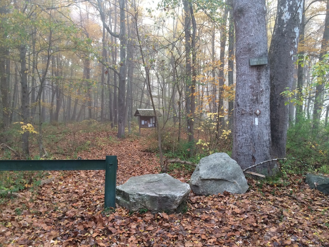
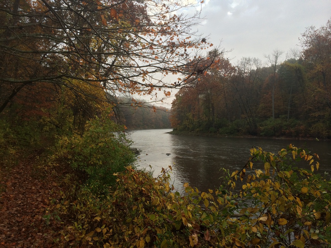
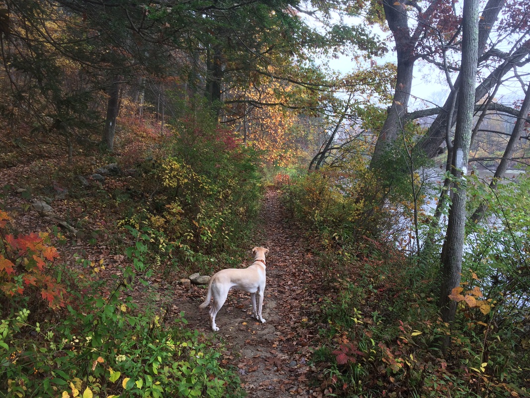
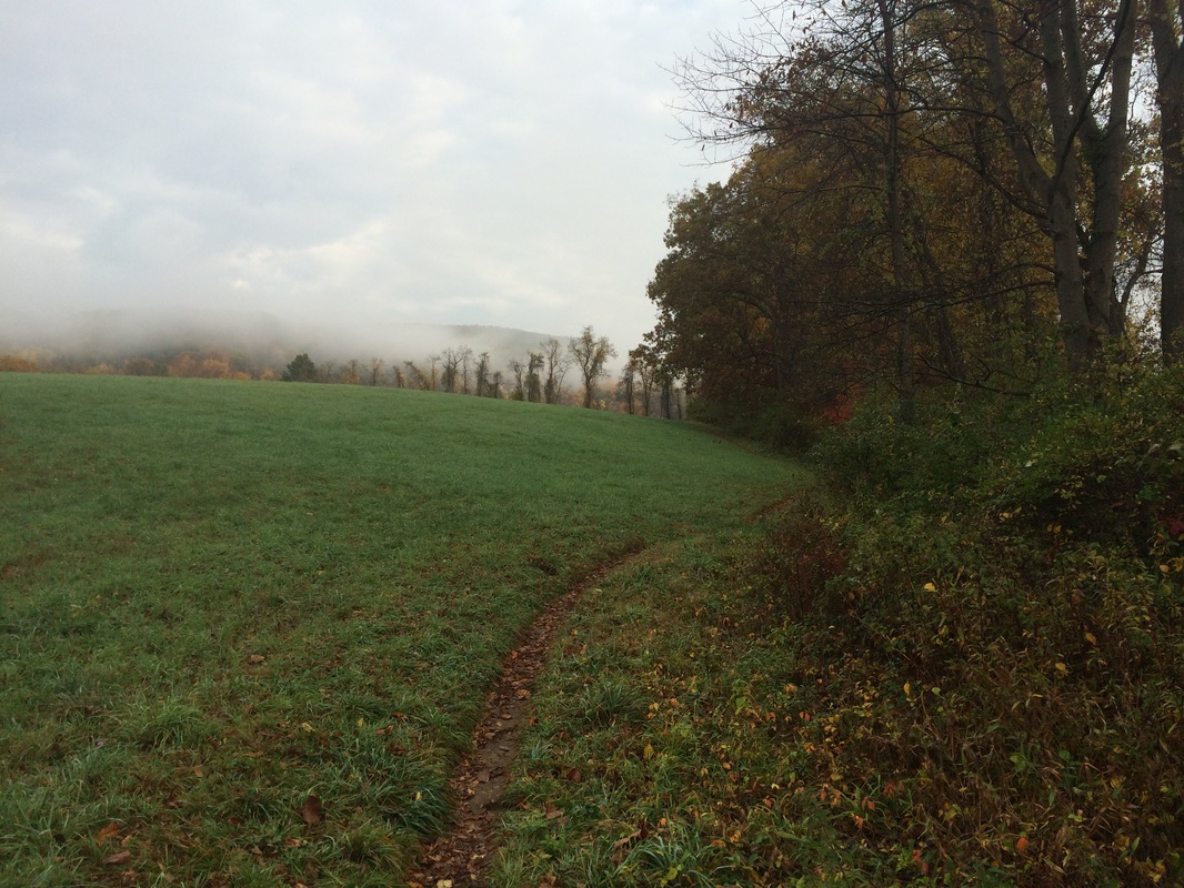
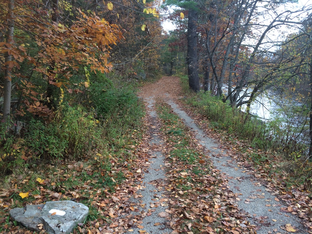
I was prepared, from my
pre-hike research, for the first part of this hike to hug the west bank of the
Housatonic River. I wasn’t prepared for this
section to be as flat as it was for as long as it was. Combined with the last mile or so from the
end of the previous section, this has to be one of the flattest...if not THE flattest...section of the entire
Appalachian Trail. Fortunately, it is still
a very enjoyable section. Walking along
the river is actually a nice change-up to hiking up and over mountains all the
time…
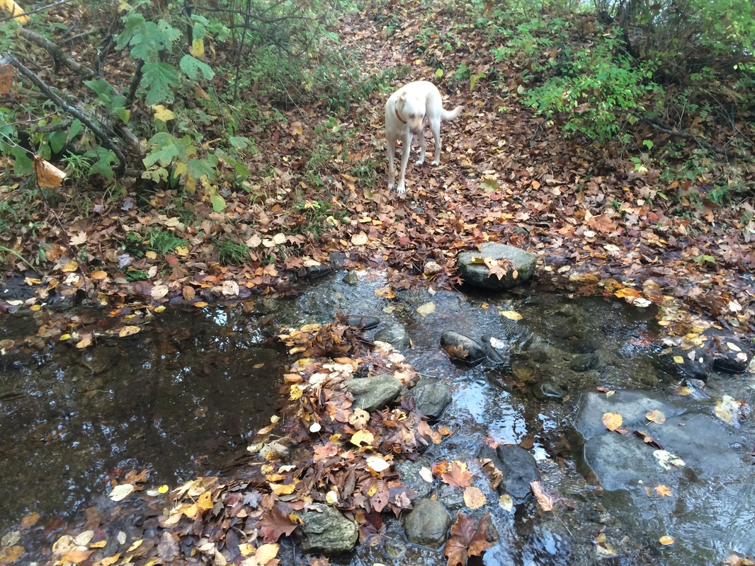
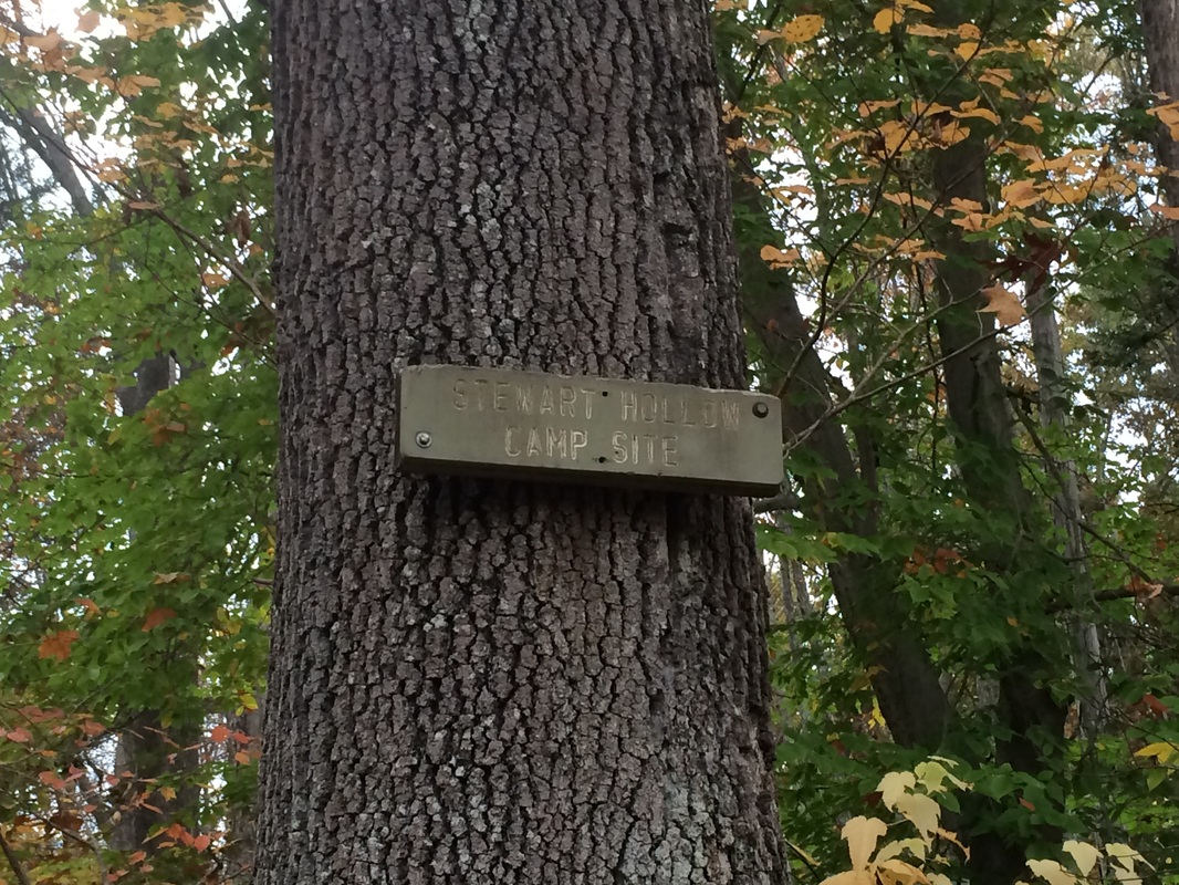
Approximately 1.5 miles in (1.3
per the Walk Book), we crossed Stewart Hollow Brook and passed a side trail to the
Stewart Hollow Camp Site…
|
|
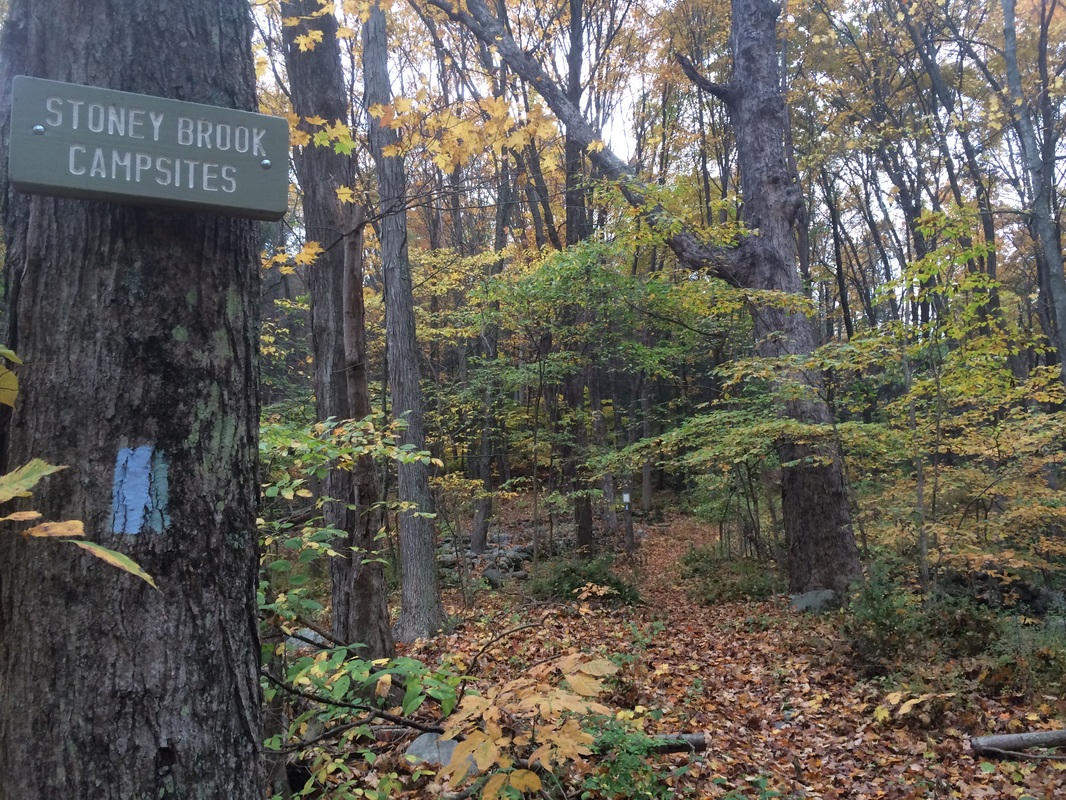
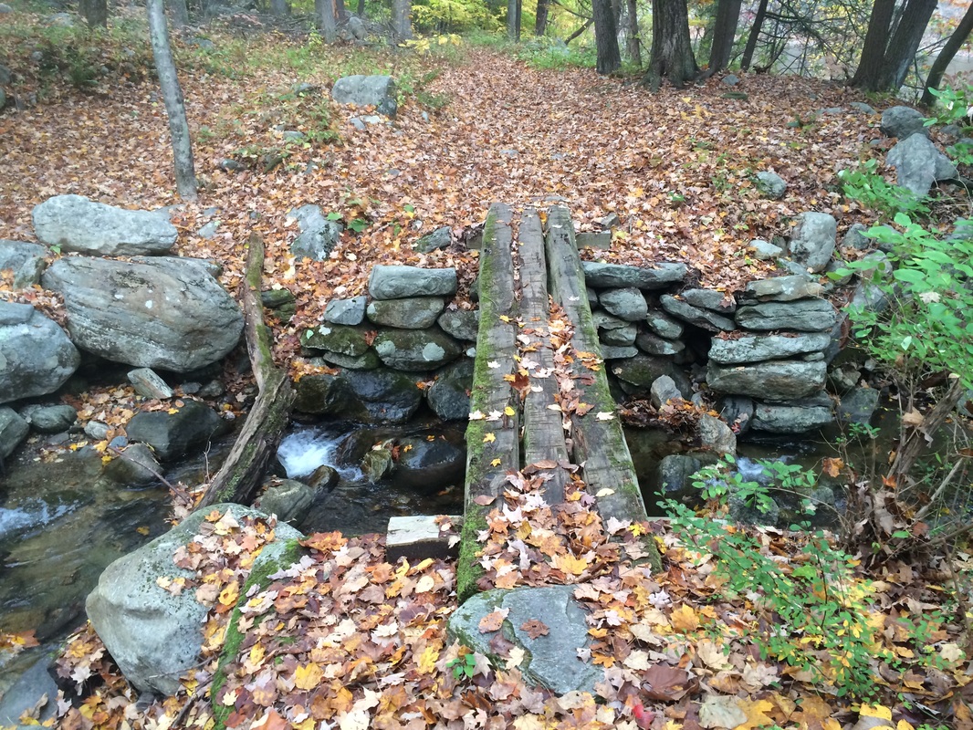
Soon after, roughly 2.0 miles
in (1.7 per the Walk Book), we passed a side trail to the Stony Brook Campsites
and crossed Stony Brook on a log bridge…
|
|
Approximately 2.6 miles in, the
blazed path splits away from the path we had been walking on and turns away
from the river…
Here, the trail heads slightly
uphill for a few seconds, only to head back downhill and re-join the unmarked
path. At first, I thought this might be
a way of keeping hikers dry during times of high water. But, on the way back to the car later, I followed
the unmarked trail to get a closer look.
I don’t think the Housatonic ever gets high enough to flood the unmarked
trail. Either way, this “detour” is
there, as strange as it is.
Roughly 3.0 miles in, the trail starts to border a massive field…
Roughly 3.0 miles in, the trail starts to border a massive field…
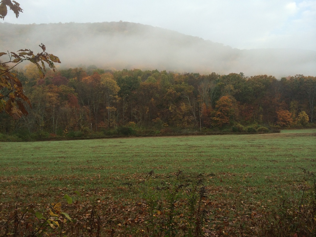
Soon after, it leaves the woods
behind and actually enters the field…
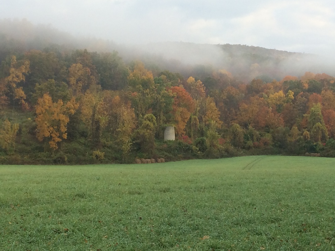
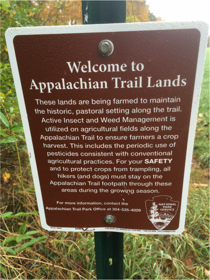
The Walk Book notes this field was
once part of the old Liner Farm (upon returning home after the hike, I tried...unsuccessfully...to find more information on this old farm). Later, we came upon on old
stone silo and a sign which explains how the land is still being farmed…
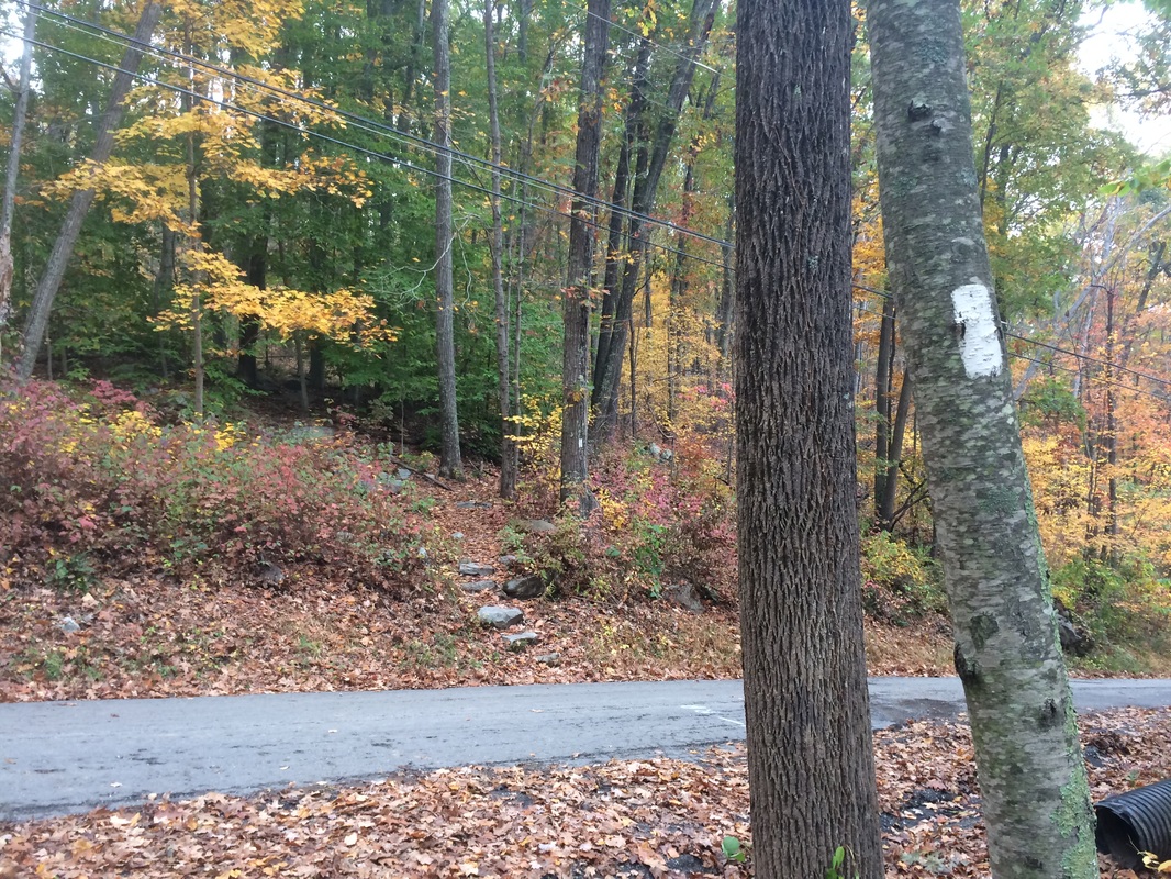
Approximately 4.3 miles in, we
crossed an unpaved road (River Road) at an angle…
On the other side of the road,
the trail started to climb. At this
point, we also left the Housatonic River behind.
Roughly 4.4 miles in (3.9 per the Walk Book), we crossed Dawn Hill Road…
Roughly 4.4 miles in (3.9 per the Walk Book), we crossed Dawn Hill Road…
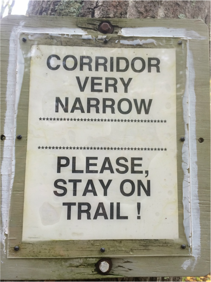
On the other side, we
encountered a sign that cautioned hikers to stay on the trail (always a good
idea)…
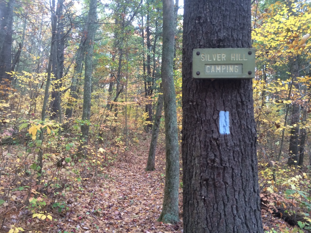
Approximately 5.2 miles in (4.5
per the Walk Book), still climbing, we passed a side trail to the Silver Hill
Campsite…
Continuing onward and upward, we reached the first
and only real “view” of the day…
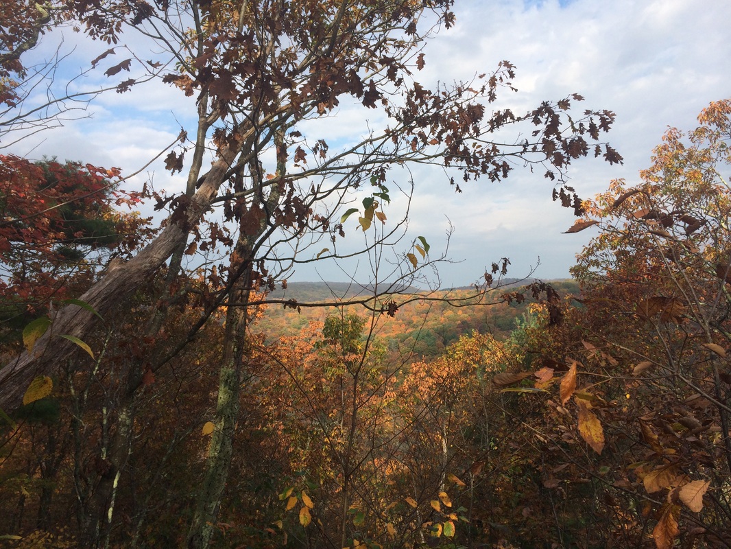
I wasn’t expecting this. And, while it wasn’t the greatest view in the
world, it was nice to be semi-rewarded for the effort of climbing all the way
up here. It was short lived, however, as
we almost immediately started heading back downhill. As we made our approach to the Route 4
crossing, I encountered a sign that caused me some worry…
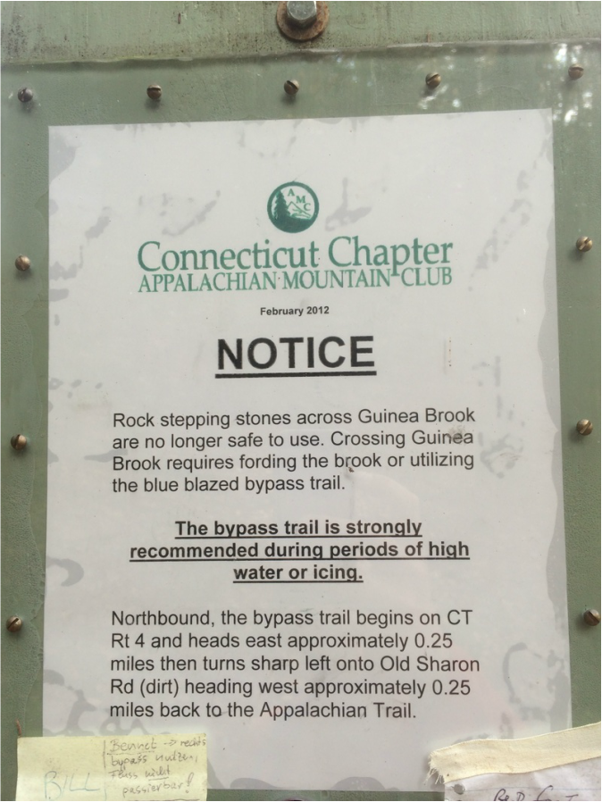
As you can see from the sign,
there are stepping stones which allow hikers to cross Guinea Brook (the Walk
Book also mentions them). However, they
are no longer safe to use when crossing. So, hikers have two options: 1.) fording the
brook or 2.) adding additional mileage to the hike through a series of road
walks. At this point, my MapMyHike app was
already telling me I’d traveled over 3/4 of a mile more than I
planned. And, I wasn’t really in the
mood for a road walk. So, I elected to cross Route 4 and take my chances with the
brook. I figured, if the brook turned out to be impassable, I could use
it as my turn around point.
Roughly 6.1 miles in, we reached and crossed Route 4. On the other side, I found a bunch of no trespassing signs and the brook was clearly impassable…
Roughly 6.1 miles in, we reached and crossed Route 4. On the other side, I found a bunch of no trespassing signs and the brook was clearly impassable…
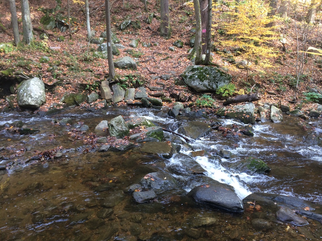
I still had another 1/4 of a
mile or so until my planned turn around point.
And, I seriously thought about trying to cross. But, more than 6 miles from my car, I decided
it wasn’t worth the risk of getting my boots/socks wet. I don't mind getting wet, but hiking 6+ miles in wet boots/socks is a recipe for blisters. And, I decided it would be better to just add the last 1/4 of a mile to my
next AT hike. So, we turned around and
started the journey back to the car.
Once we arrived back at the car, I put my pack and all of my other belongings away…and decided to join Roscoe for a post-hike dip in the Housatonic. I had seen more than a few ticks on this hike, so I thought it might be a good idea to try and wash them away before the 90 minute drive home. It worked for me, as I didn’t end up with any bites. Sadly, even with the post-hike swim, Roscoe was covered. I lost count but the total was in the neighborhood of 20. If you do this hike in late fall, make sure you protect yourself and your furry friends from the ticks.
Until next time…
For a map of this hike, along with elevation data, please click here.
Total 2014 Distance: 326.57