Snow Trespassing
Hike #126
Tunxis Trail
Hotchkiss Road (Burlington, CT) to Route 202 (New Hartford, CT)
Hike Distance: 8.6 Miles
Section Distance (Per CFPA Walk Book): 4.3 Miles
Date Hiked: 1/25/2015
Date Published: 1/28/2015
Hike #126
Tunxis Trail
Hotchkiss Road (Burlington, CT) to Route 202 (New Hartford, CT)
Hike Distance: 8.6 Miles
Section Distance (Per CFPA Walk Book): 4.3 Miles
Date Hiked: 1/25/2015
Date Published: 1/28/2015
The day of this hike, I had originally
planned to meet up with Mark and continue our journey along the Mattabesett
Trail. However, Mark had something come
up and informed me we would have to reschedule.
So, I turned my attention to another trail I’d previously left incomplete…the
Tunxis Trail.
On my most recent Tunxis hike (Hike # 99), Roscoe and I finished up the Burlington region of the Tunxis mainline at Route 4. Well, the CFPA has been hard at work and…since that hike on Easter Sunday 2014…what used to be the mainline is now a blue-yellow blazed trail. And, what used to be the blue-yellow blazed trail leading up by Tory Den is now the blue-blazed Tunxis mainline. This is a good thing because it was done in the interest of connecting the Burlington and Nepaug regions of the mainline, making the Tunxis continuous from Marsh Pond in Bristol to the Massachusetts State Line. Prior to learning about the changes, I had planned to park at the old trailhead for the Nepaug Region (now a short access trail) and head due north to Route 202 before doubling back. And, since I first wanted to confirm all of the changes listed on the CFPA website, I thought I would stick with that original plan.
From the Walk Book:
This section of the blue-blazed Mainline Trail extends north to the Nepaug River and Route202, primarily on MDC service roads. It transverses the east shoulder of Garrett Mountain and crosses several picturesque brooks that flow eastward to Nepaug Reservoir. Remnants of the Hotchkiss Watch Factory can be seen east of the trailhead, near Bunnell Brook. A tablet commemorating the factory is located on the opposite side of the street.
After the previous day’s hike on the Nehantic…and shoveling the driveway…I was pretty tired. So, I slept in later than usual and…as a result…got a bit of a later start. I was fortunate to get to the parking area off of Hotchkiss Road early enough to be able to park there. There is only room for a couple of cars and, with the small snow banks created by the plows, only room for one car on the day of the hike.
To reach the trailhead from Hartford:
Follow I-84 West to Route 4 West. Follow Route 4 West through Farmington for approximately 10 miles and turn right on Covey Road in Burlington. Follow Covey Road for 1.4 miles and turn right on Hotchkiss Road. The trailhead is roughly 2/10 of a mile on the left. The parking area is on the opposite side of the road.
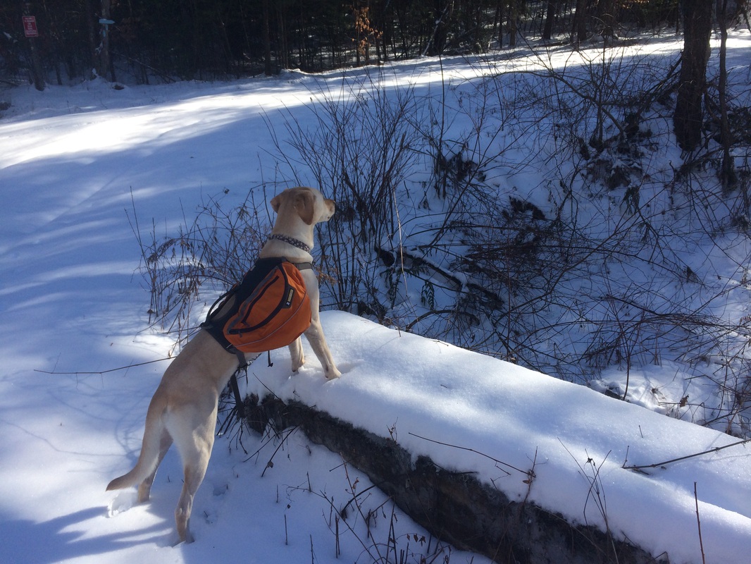
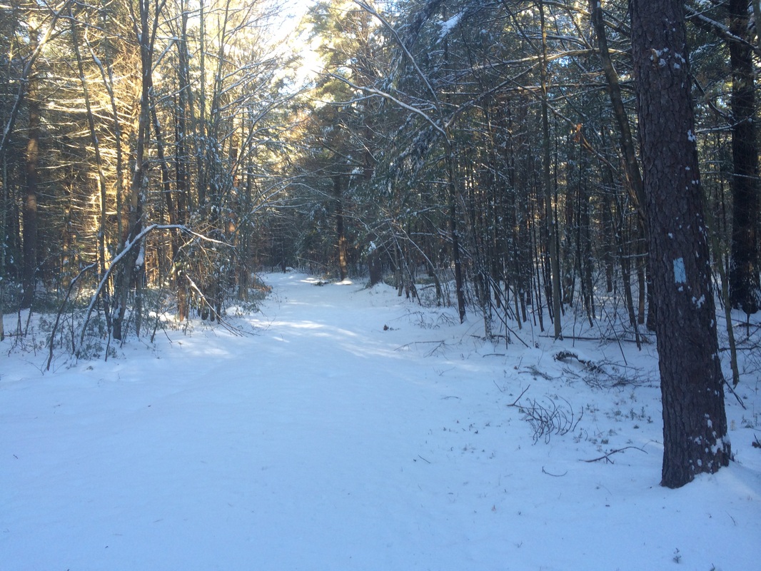
Roscoe and I set out, crossing Hotchkiss Road and heading due north to start the hike…
On my most recent Tunxis hike (Hike # 99), Roscoe and I finished up the Burlington region of the Tunxis mainline at Route 4. Well, the CFPA has been hard at work and…since that hike on Easter Sunday 2014…what used to be the mainline is now a blue-yellow blazed trail. And, what used to be the blue-yellow blazed trail leading up by Tory Den is now the blue-blazed Tunxis mainline. This is a good thing because it was done in the interest of connecting the Burlington and Nepaug regions of the mainline, making the Tunxis continuous from Marsh Pond in Bristol to the Massachusetts State Line. Prior to learning about the changes, I had planned to park at the old trailhead for the Nepaug Region (now a short access trail) and head due north to Route 202 before doubling back. And, since I first wanted to confirm all of the changes listed on the CFPA website, I thought I would stick with that original plan.
From the Walk Book:
This section of the blue-blazed Mainline Trail extends north to the Nepaug River and Route202, primarily on MDC service roads. It transverses the east shoulder of Garrett Mountain and crosses several picturesque brooks that flow eastward to Nepaug Reservoir. Remnants of the Hotchkiss Watch Factory can be seen east of the trailhead, near Bunnell Brook. A tablet commemorating the factory is located on the opposite side of the street.
After the previous day’s hike on the Nehantic…and shoveling the driveway…I was pretty tired. So, I slept in later than usual and…as a result…got a bit of a later start. I was fortunate to get to the parking area off of Hotchkiss Road early enough to be able to park there. There is only room for a couple of cars and, with the small snow banks created by the plows, only room for one car on the day of the hike.
To reach the trailhead from Hartford:
Follow I-84 West to Route 4 West. Follow Route 4 West through Farmington for approximately 10 miles and turn right on Covey Road in Burlington. Follow Covey Road for 1.4 miles and turn right on Hotchkiss Road. The trailhead is roughly 2/10 of a mile on the left. The parking area is on the opposite side of the road.
Roscoe and I set out, crossing Hotchkiss Road and heading due north to start the hike…
Almost
immediately, we passed the foundations of the former Hotchkiss residence…
The residence, situated at
the top of a hill, used to overlook the Hotchkiss Watch Factory. Shortly after taking the picture, I took a
bit of a slip on the snow-covered ice. I
didn’t know it at the time, but this would become a theme for the day.
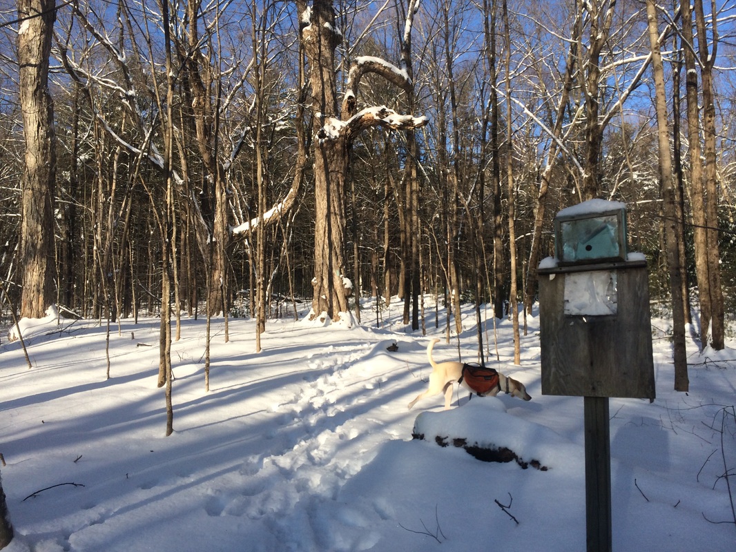
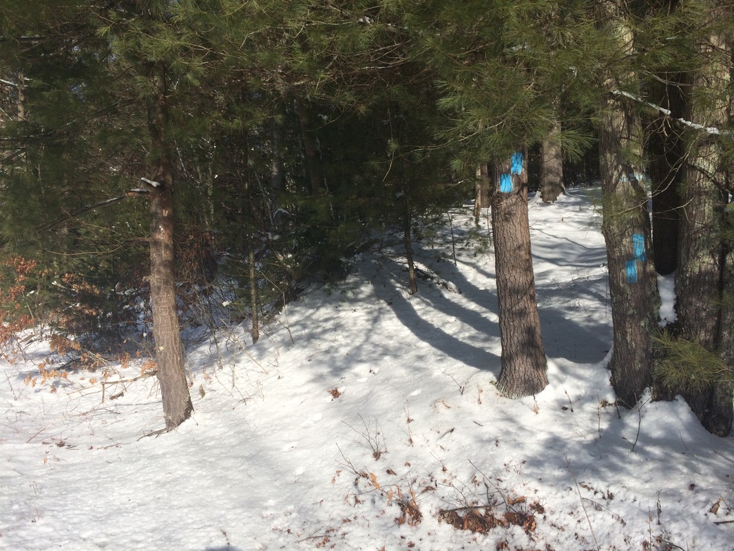
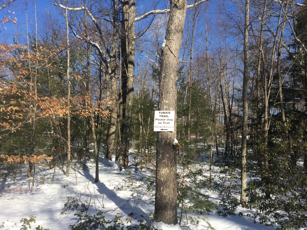
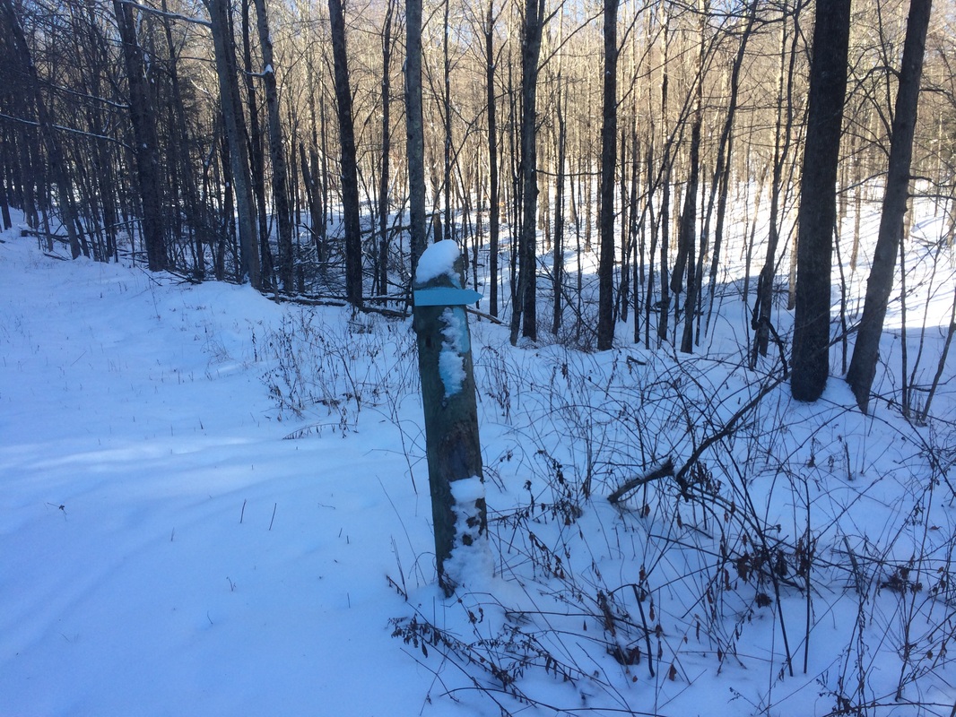
Shortly after passing the old foundations, we reached the trail junction with the mainline Tunxis. I’m happy to confirm the trail, in addition to heading north as it always did, also heads south. I decided to wait until the official text is published by CFPA before I hike the section to the south. Sticking with the original plan, we made a slight right turn to follow the mainline Tunxis northbound.
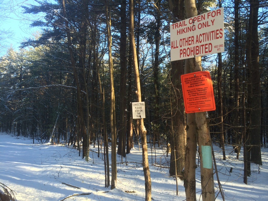
Approximately 3/10 of a mile in, we crossed Smith Road (one of several utility roads we would cross on this hike). On the other side, I spotted several “No Trespassing” and “Stay On The Trail” signs. The hike also becomes a road walk…
Shortly after passing the old foundations, we reached the trail junction with the mainline Tunxis. I’m happy to confirm the trail, in addition to heading north as it always did, also heads south. I decided to wait until the official text is published by CFPA before I hike the section to the south. Sticking with the original plan, we made a slight right turn to follow the mainline Tunxis northbound.
Approximately 3/10 of a mile in, we crossed Smith Road (one of several utility roads we would cross on this hike). On the other side, I spotted several “No Trespassing” and “Stay On The Trail” signs. The hike also becomes a road walk…
|
|
At other times of the year,
I’m sure this section is one of the easiest hikes in the entire Tunxis trail
system. Today, with all of the
snow-covered ice on the utility roads, it was a nightmare. I lost count of how many times I slipped and
even took a few spills here and there.
Nothing major, I survived without any injury. But, this wasn’t quite the easy stroll I had
expected…and I wished I had my snow shoes.
Roughly 1.0 mile in, we crossed Phelps Brook on this roadway which is in need of repair…
Roughly 1.0 mile in, we crossed Phelps Brook on this roadway which is in need of repair…
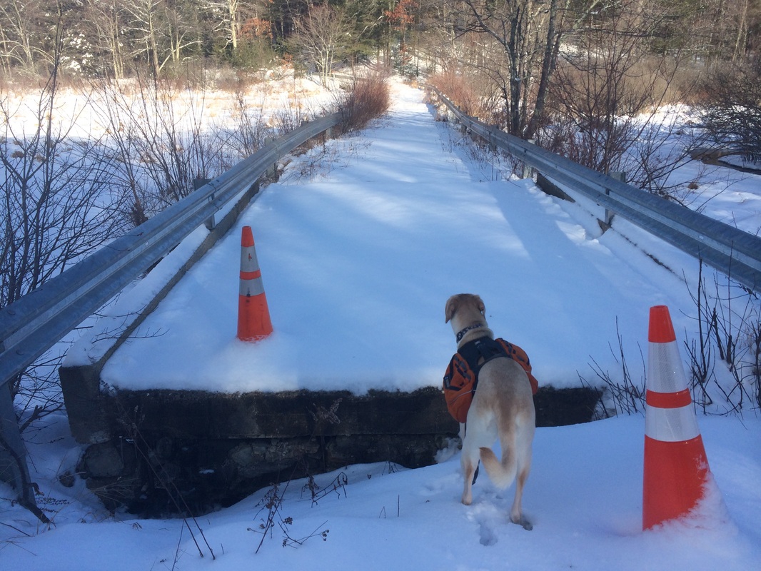
On the other side of the
“bridge”, the trail leaves the road and heads uphill…
Approximately 1.2 miles in,
after only a short time away from the utility roads, we crossed Valentine Road
and started following Douglas Road…
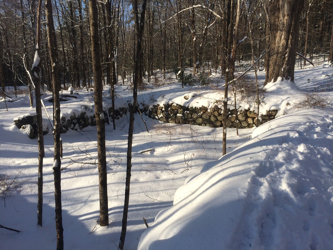
The service road ascended a
bit, bringing us to the east of Garrett Mountain (elevation: 910 feet). I noticed several game trails in the area,
including multiple deer and coyote tracks.
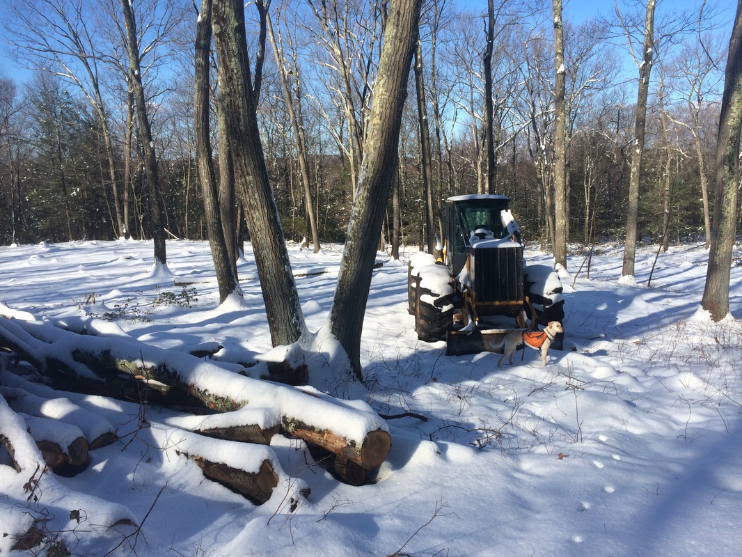
We also passed a logging area…

|
|
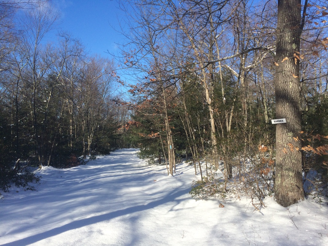
Roughly 2.7 miles in, we
reached what the Walk Book calls Garrett Road but the signs in the area label Barnes
Rd. In fact, the road names are all very confusing. My suggestion would be to follow the blazes and avoid the areas marked "No Trespassing". We made a hard left to follow the
road…
|
|
From the intersection, the
trail/road descends…steeply at times…as it leads to Nepaug River Road. I took a few more spills in this section,
growing increasingly frustrated that I didn’t have my snow shoes.
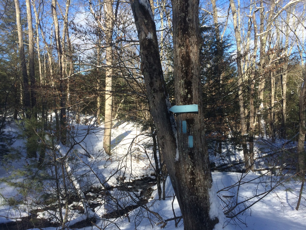
Approximately 3.3 miles in, we turned left and crossed Spruce Brook…
Approximately 3.3 miles in, we turned left and crossed Spruce Brook…
Roughly 3.4 miles in, we
turned right and entered the woods…
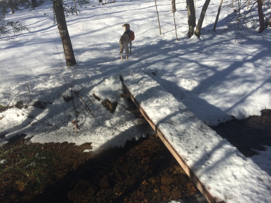
We crossed a small brook on
a wood bridge…
The trail through here
skirts the south side of a large field.
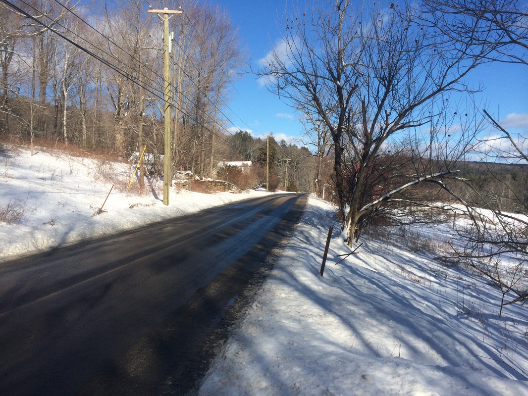
Approximately 3.6 miles in, we reached Southeast Road (finally, a plowed road!) and turned right…
Approximately 3.6 miles in, we reached Southeast Road (finally, a plowed road!) and turned right…
Roughly 3.9 miles in, we turned
right and entered the woods…
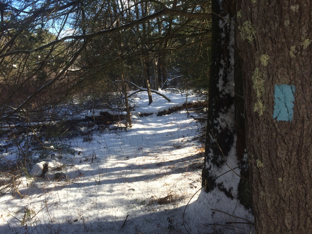
This section was a bit
tricky. Some blazes were hard to find
and it looks like this area would be overgrown in the spring/summer
months. Making the hike in the dead of
winter, I didn’t have much trouble but I could see where this would be a
problem area at other times of the year.
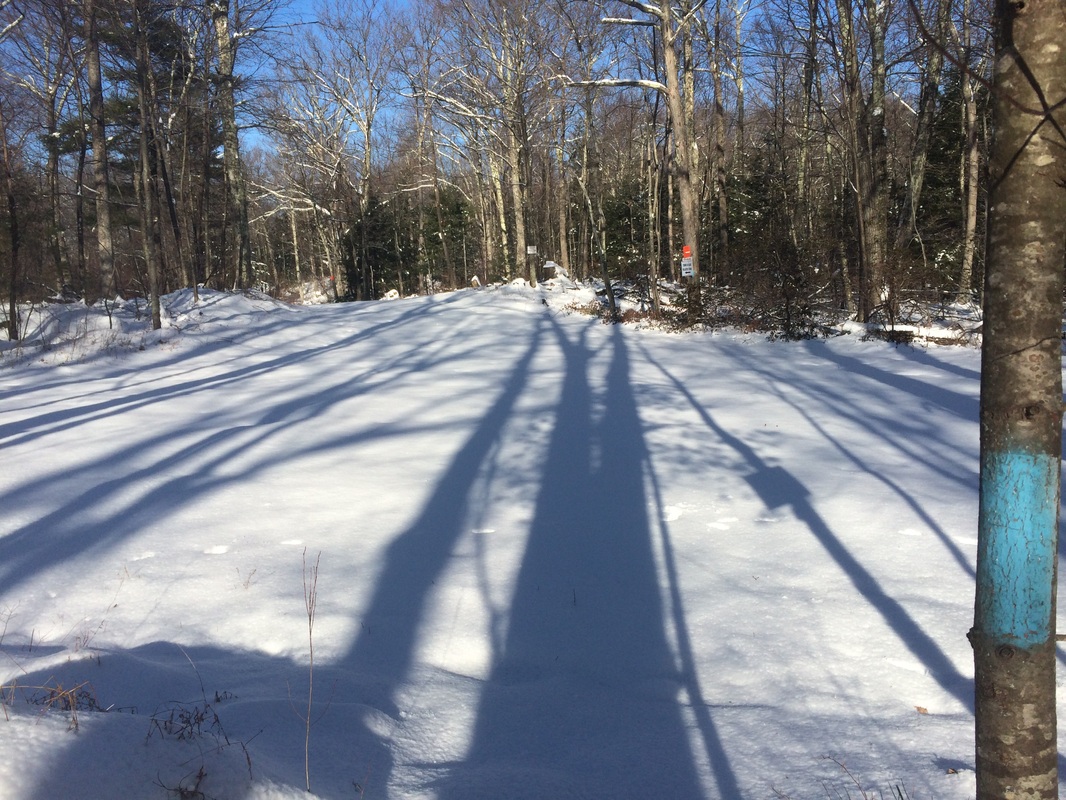
Approximately 4.1 miles in, we reached Route 202 and turned right to cross the Nepaug River. This is a fairly busy road so I wasn’t able to get a picture. On the other side of the bridge, we crossed the road and continued our road walk on the north side of Route 202.
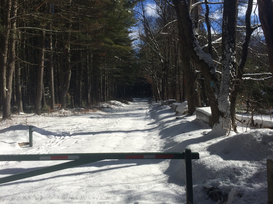
Roughly 4.3 miles in, we reached a small parking area (with room for maybe 5 or 6 cars) and the end of this section at the gated road…
Approximately 4.1 miles in, we reached Route 202 and turned right to cross the Nepaug River. This is a fairly busy road so I wasn’t able to get a picture. On the other side of the bridge, we crossed the road and continued our road walk on the north side of Route 202.
Roughly 4.3 miles in, we reached a small parking area (with room for maybe 5 or 6 cars) and the end of this section at the gated road…
This is where I’ll pick up
the Tunxis next time. For today, we
turned around and followed our snowy footprints back to the car.
All in all, this was a good hike. I’m sure this is an easy / more enjoyable section in the fall. But, given the snow and ice, I found it to be a lot more challenging than expected. I look forward to more Tunxis hikes, but I might wait until the snow melts a little. Of course, as I type this, CT is getting slammed by a blizzard. So, I might be waiting a while.
Until next time…
For a map of this hike, along with elevation data, please click here.
Total 2015 Distance: 58.6
(441.4 to Goal)
