Snow Way I Was Sleeping In
Hike #125
Nehantic Trail
Hopeville Pond State Park to Lee Road (Griswold, CT)
Hike Distance: 6.3 Miles
Section Distance (Per CFPA Walk Book): 3.1 Miles
Date Hiked: 1/24/2015
Date Published: 1/24/2015
Hike #125
Nehantic Trail
Hopeville Pond State Park to Lee Road (Griswold, CT)
Hike Distance: 6.3 Miles
Section Distance (Per CFPA Walk Book): 3.1 Miles
Date Hiked: 1/24/2015
Date Published: 1/24/2015
For this hike, I had
a couple of options. Option A
would allow me to continue my journey on the Mattabesett Trail with my friend
Mark. Option B would bring me and Roscoe
to the last remaining section of the Nehantic Trail. I knew I wanted to tackle both trails this
weekend, I just wasn’t sure which day to hike which trail. Fortunately, Mother Nature decided for
me. A good “Views Hike” would be spoiled
by a snowstorm if Mark and I attempted the next Mattabesett section on
Saturday. So, I decided to take Roscoe
down to the southeast corner of the state and finish off the Nehantic. I didn’t expect there would be any views on
the Nehantic, so the snow would only serve to make this hike…and the early
morning drive to the trailhead…more exciting.
On our last Nehantic hike, Roscoe and I left off near a seemingly abandoned farmhouse on Lee Road. Since I wasn’t aware of any suitable parking in the area, I thought it best to jump ahead to the western terminus of the Nehantic…parking at Hopeville Pond State Park…and make our way back to Lee Road and the “Walking Dead Farmhouse” to finish up the section.
To reach the western terminus of the Nehantic Trail from Hartford:
Follow Route 2 East to I-395 North. From I-395 North, take exit 86 and go right on Route 201. Follow Route 201 for 1.5 miles. The park entrance for Hopeville Pond State Park is on the right. From the park entrance continue 1/3 of a mile and take a right fork toward the pond. Continue another 1/3 of a mile to the far end of the parking area and western terminus of the Nehantic Trail.
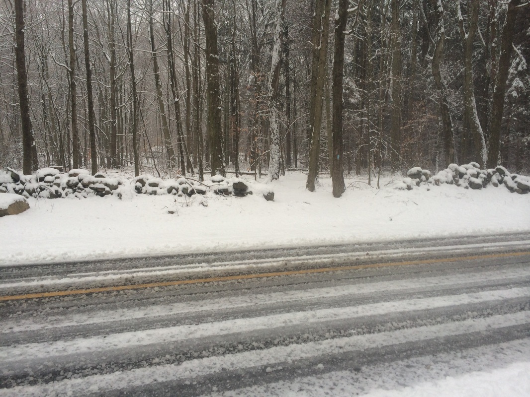
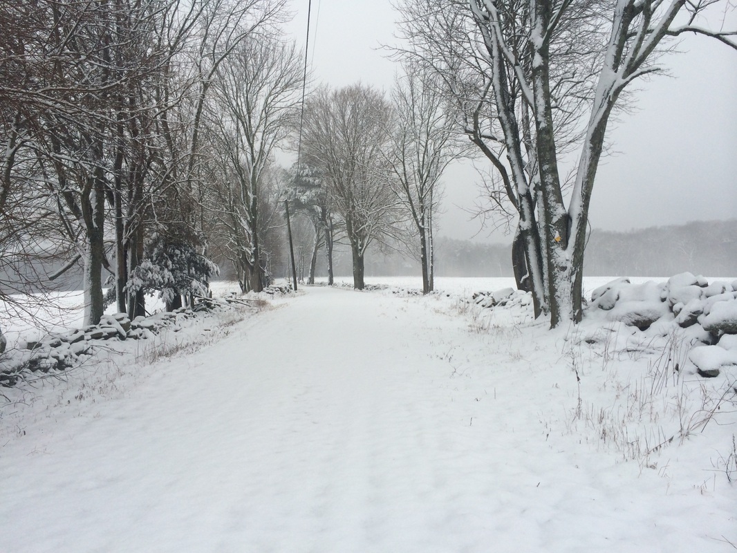
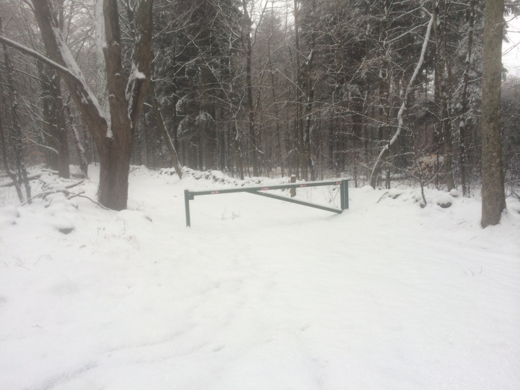
Originally, I had hoped to park in the area described above. However, when I got to the park entrance, I found the section of the park road which leads to the pond gated. So, I made my way back out to Route 201 and found a small parking area on the north side of Route 201, close to the trailhead. I geared up, geared up Roscoe, and we hit the trail. The hike started with a short road walk along Route 201…
On our last Nehantic hike, Roscoe and I left off near a seemingly abandoned farmhouse on Lee Road. Since I wasn’t aware of any suitable parking in the area, I thought it best to jump ahead to the western terminus of the Nehantic…parking at Hopeville Pond State Park…and make our way back to Lee Road and the “Walking Dead Farmhouse” to finish up the section.
To reach the western terminus of the Nehantic Trail from Hartford:
Follow Route 2 East to I-395 North. From I-395 North, take exit 86 and go right on Route 201. Follow Route 201 for 1.5 miles. The park entrance for Hopeville Pond State Park is on the right. From the park entrance continue 1/3 of a mile and take a right fork toward the pond. Continue another 1/3 of a mile to the far end of the parking area and western terminus of the Nehantic Trail.
Originally, I had hoped to park in the area described above. However, when I got to the park entrance, I found the section of the park road which leads to the pond gated. So, I made my way back out to Route 201 and found a small parking area on the north side of Route 201, close to the trailhead. I geared up, geared up Roscoe, and we hit the trail. The hike started with a short road walk along Route 201…
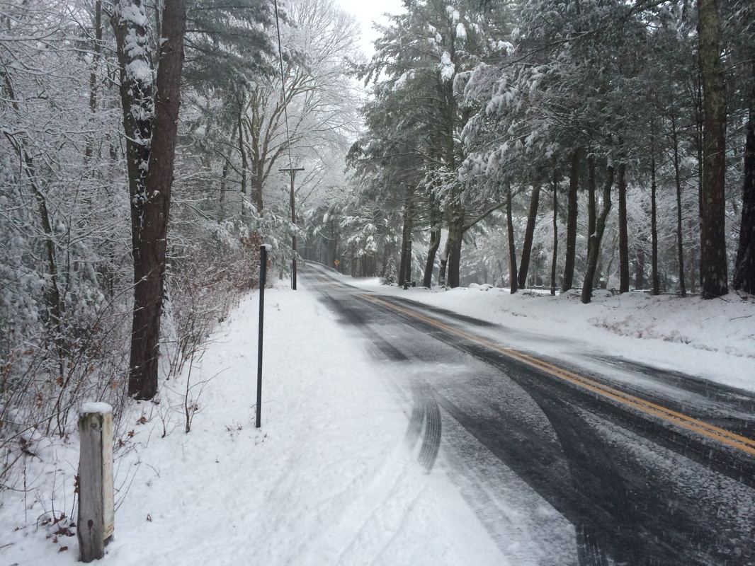
Approximately 1/10 of a mile
in, after walking due east on Route 201, we turned left and picked up the Nehantic
Trail…

|
|
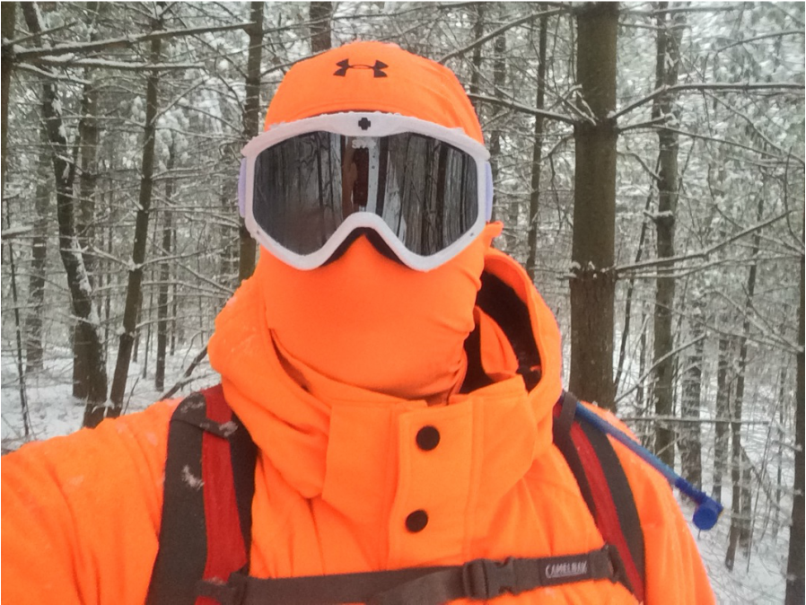
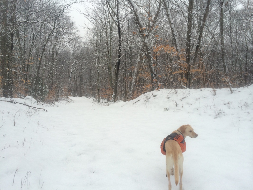
The trail starts by climbing
a bit, but nothing overly challenging. I
stopped in this first section for a moment, but only to take the selfie at the
top of this recap. I was wearing my new
snow goggles for the first time so you know I had to get a pic.
Roughly 9/10 of a mile in, we crossed Roode Road…
Roughly 9/10 of a mile in, we crossed Roode Road…
The Walk Book notes limited
parking at the road crossing, but I didn’t see anything which resembled even “limited”
parking…unless you park in front of one of the gates on either side of the
road, which I wouldn’t recommend.
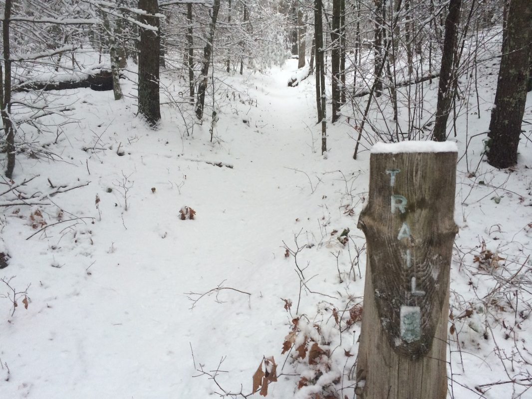
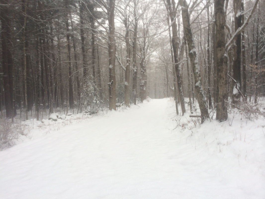
The section of trail immediately to the east of Roode Road was very peaceful. There are a lot of pines and the combination of pine needles underfoot / snow gently falling over head created a quiet calm, disturbed only by the sound of my crunching feet.
Approximately 1.5 miles in, we crossed Lester Road…
The Walk Book notes there is
no safe parking at this road crossing. With
all of the snow, it was difficult for me to confirm but this seems accurate to
me.
The section of trail to the east of Lester Road follows an interesting path. It starts out heading due east but makes a hard turn to the north for about 3/10 of a mile before making a hairpin turn to head south again. When viewed on the map, this section of trail looks just like a hairpin. After turning south, the trail passes through a moraine. It eventually brought us less than 1/10 of a mile from where we first turned north. While I enjoyed the additional 6/10 of a mile of trail in this section, I made a mental note to take a shortcut on the way back to the car.
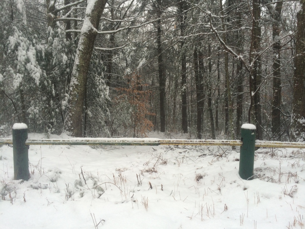
Roughly 2.6 miles in, we crossed Breakneck Hill Road at an angle…
The section of trail to the east of Lester Road follows an interesting path. It starts out heading due east but makes a hard turn to the north for about 3/10 of a mile before making a hairpin turn to head south again. When viewed on the map, this section of trail looks just like a hairpin. After turning south, the trail passes through a moraine. It eventually brought us less than 1/10 of a mile from where we first turned north. While I enjoyed the additional 6/10 of a mile of trail in this section, I made a mental note to take a shortcut on the way back to the car.
Roughly 2.6 miles in, we crossed Breakneck Hill Road at an angle…
The Walk Book doesn’t
mention anything about parking, but it looked as if there was room for a car or
two on the west side of the road.
However, as I later discovered, the road is gated (I’m assuming during the
winter). So, if you are looking for alternate
parking, you might want to hold off and make this hike in the warmer months.
The Walk Book described the next section, between Breakneck Hill Road and Lee Road, as “difficult”. I was curious to see what I would find because I know 1.) this part of Connecticut doesn’t have a ton of elevation changes and 2.) the Nehantic to this point has had few, if any, technically challenging sections. After hiking this section, I can only assume the “difficult” label comes from the fact that the section closest to Lee Road looks to be overgrown with thorn bushes. I was fortunate in that we were making this hike in January, so the thorn bushes were not an issue.
Approximately 2.9 miles in, as we approached Lee Road, I stopped to take a quick picture of the “Walking Dead Farmhouse” from a week earlier…
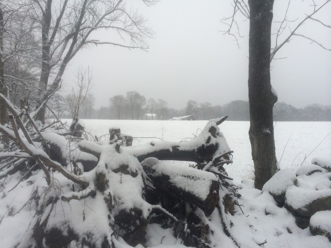
Does the snow add to the
creep factor of this abandoned farmhouse?
Or, does it give it more charm? I
think the answer depends on your location.
Out there in the woods, I couldn’t get out of there fast enough. From the comfort of my office chair, I think
it looks very inviting.
Roughly 3.0 miles in, we reached Lee Road and the end of the section. But, I was still eager to do a bit more hiking. Turning right (south) would bring me by the abandoned farmhouse. Turning left (north) would put me on the Blue and Red-Blazed Nehantic-Quinebaug Crossover Trail, according to the Walk Book…
Roughly 3.0 miles in, we reached Lee Road and the end of the section. But, I was still eager to do a bit more hiking. Turning right (south) would bring me by the abandoned farmhouse. Turning left (north) would put me on the Blue and Red-Blazed Nehantic-Quinebaug Crossover Trail, according to the Walk Book…
|
|
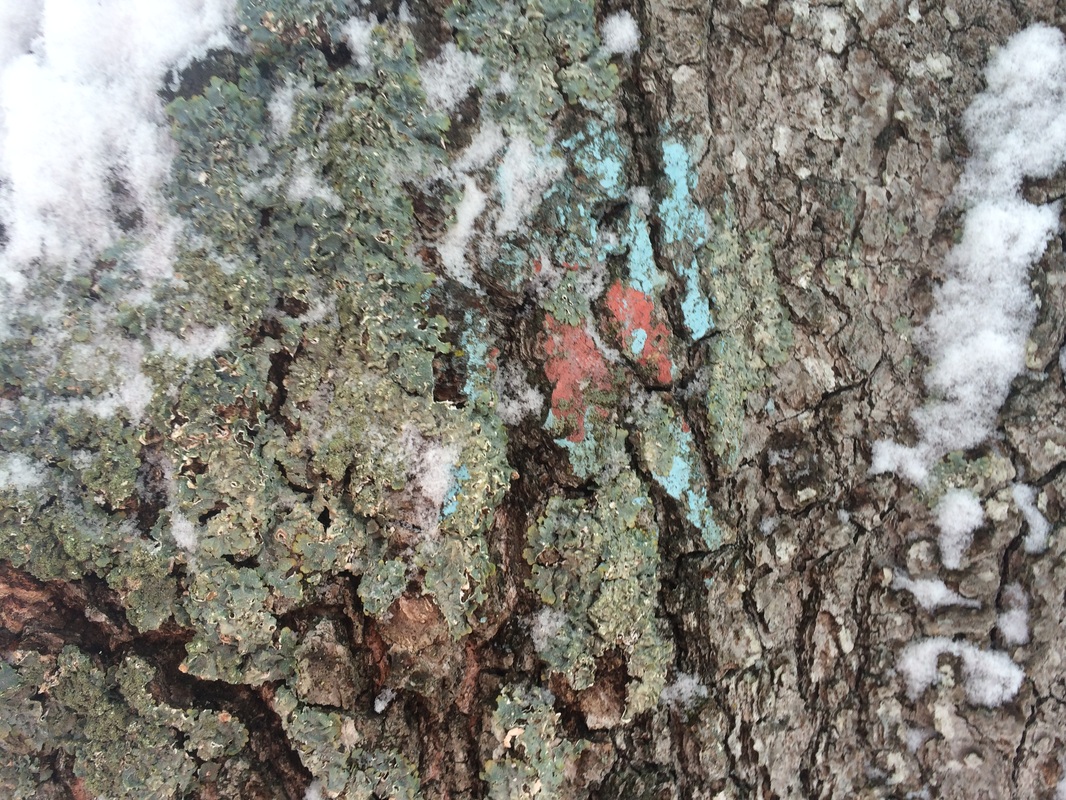
Last week, near the
mid-point of our hike, Roscoe and I found ourselves at this same intersection. At the time, I tried half-heartedly to locate
a blue-red blaze…but didn’t see anything.
This week, after making the left turn to head north on Lee Road, I found
why I wasn’t able to previously locate any blazes. In the picture on the left below, you can see
why this blaze would be difficult to spot.
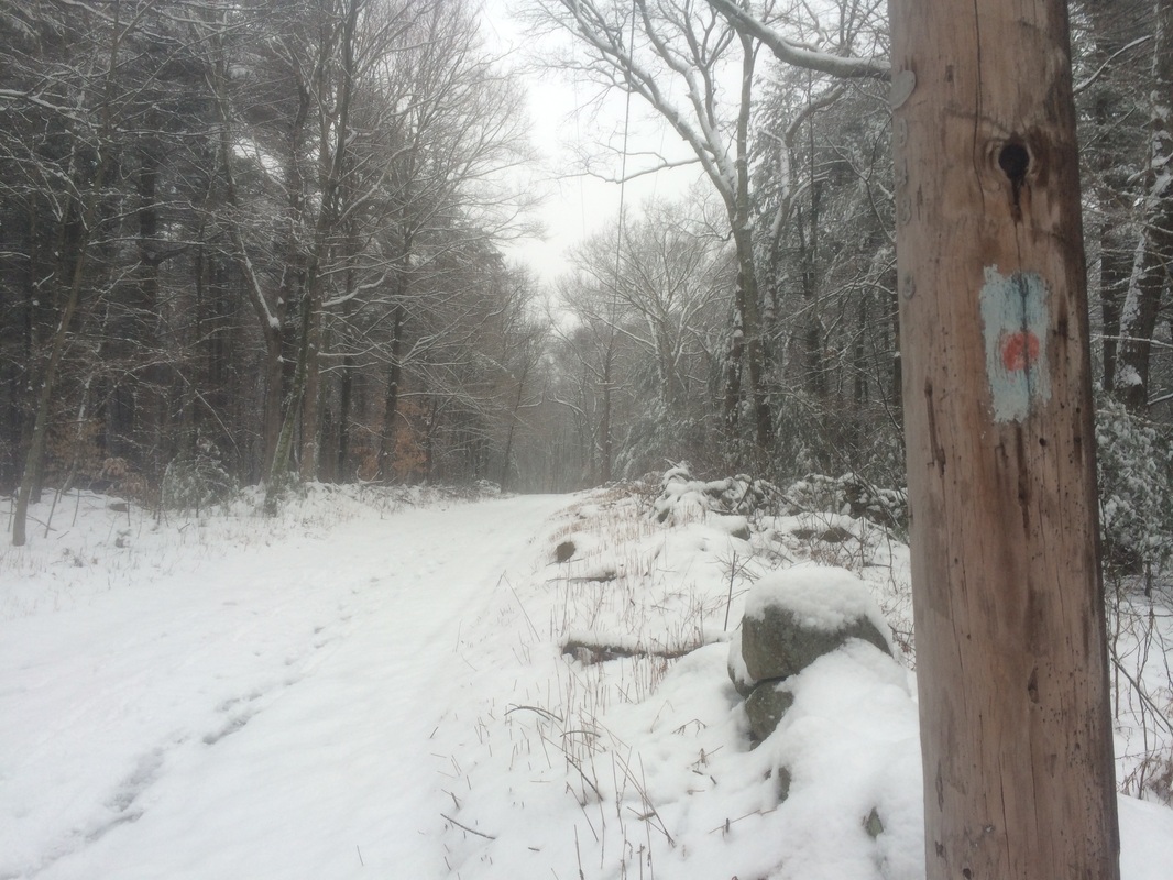
Later, I passed by a better looking blaze and got a picture for
comparison…
|
|
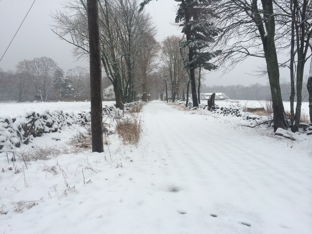
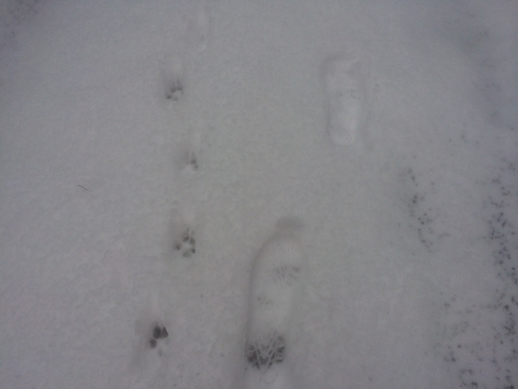
We continued following Lee
Road and the Nehantic-Quinebaug Crossover Trail to the north for about 4/10 of
a mile. Along the way, I took a picture
of our foot/paw prints in the snow…
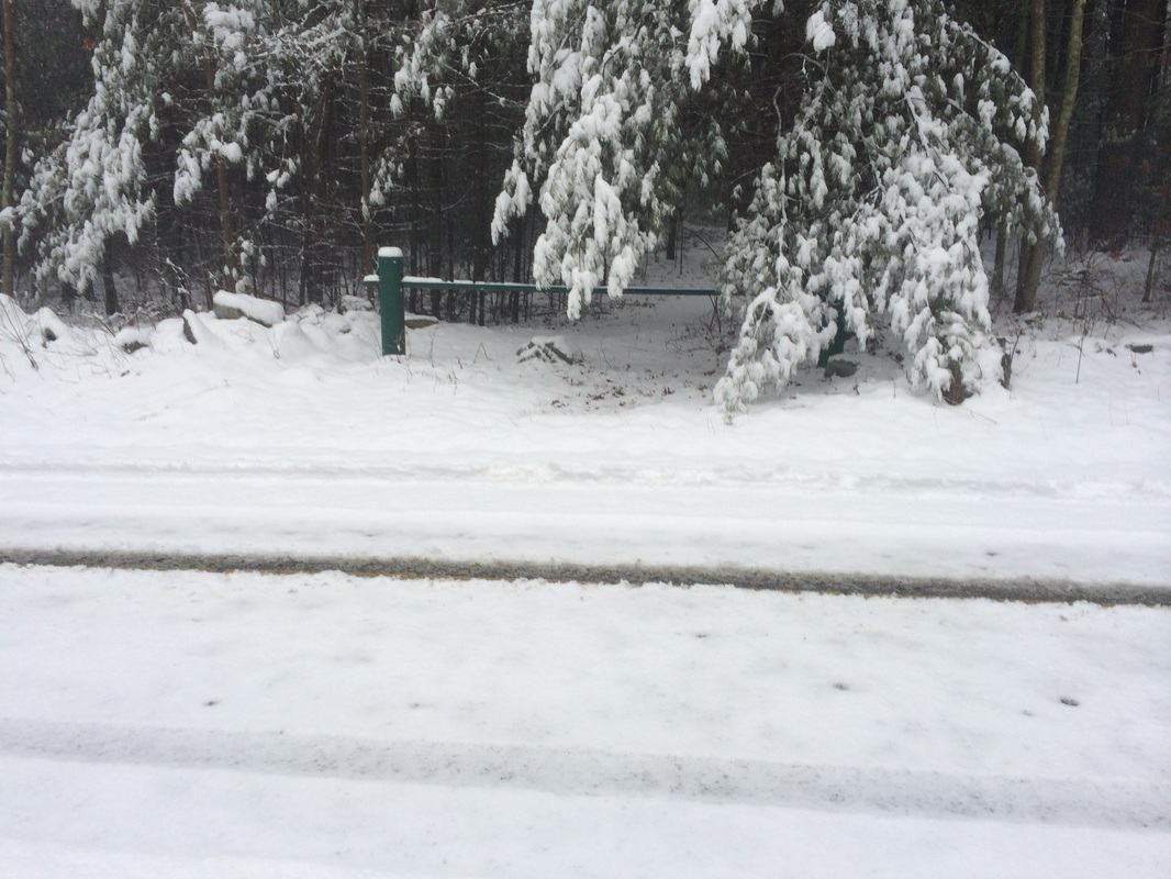
Approximately 3.4 miles in,
we reached Breakneck Hill Road. A left
(around the gate in the picture below) would bring me back to where we earlier
crossed Breakneck Hill Road...another shortcut.
A right would allow me to explore more of the Crossover Trail and give
me a chance to seek out the southern terminus of the Quinebaug Trail…
|
|
The Walk Book notes parking
for the Quinebaug Trail at the intersection of Breakneck Hill and Lee roads. But, given a lack of evidence of vehicular traffic,
I suspect there is an additional gate preventing access to this area of Breakneck
Hill Road somewhere north of here. So, parking
here in the winter might not be an option.
We turned right at the intersection and continued for about another 2/10 of a mile.
Roughly 3.6 miles in, on the east side of Breakneck Hill Road, we found the southern terminus of the Quinebaug Trail…
We turned right at the intersection and continued for about another 2/10 of a mile.
Roughly 3.6 miles in, on the east side of Breakneck Hill Road, we found the southern terminus of the Quinebaug Trail…
I originally hoped to pick
up the Quinebaug Trail here next weekend.
But, given my concerns over the parking situation, I think I’ll turn my
attention back to the Tunxis Trail. The
Quinebaug will have to wait.
We turned and started making our way back to the car, but we didn’t exactly retrace our steps. In addition to the shortcut around the “hairpin” section I described earlier, we also followed the Breakneck Hill Road shortcut in order to make our route more direct.
We still had a very small section of the Nehantic, back near Hopeville Pond State Park and to the south of Route 201, left to complete. So, once we reached Route 201, we crossed it and continued south. I found what I believe to be the final blaze only a few steps south of Route 201, just before entering the large parking area…
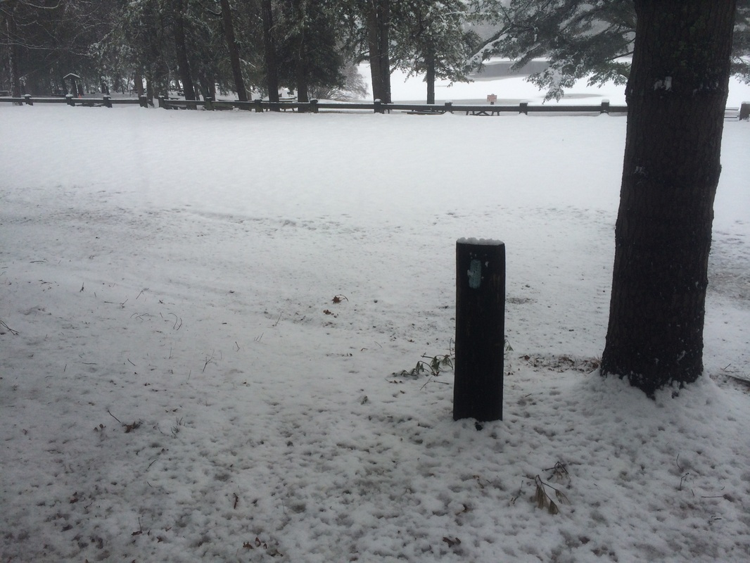
Before heading back to the
car, I also wanted to get a view of Hopeville Pond…
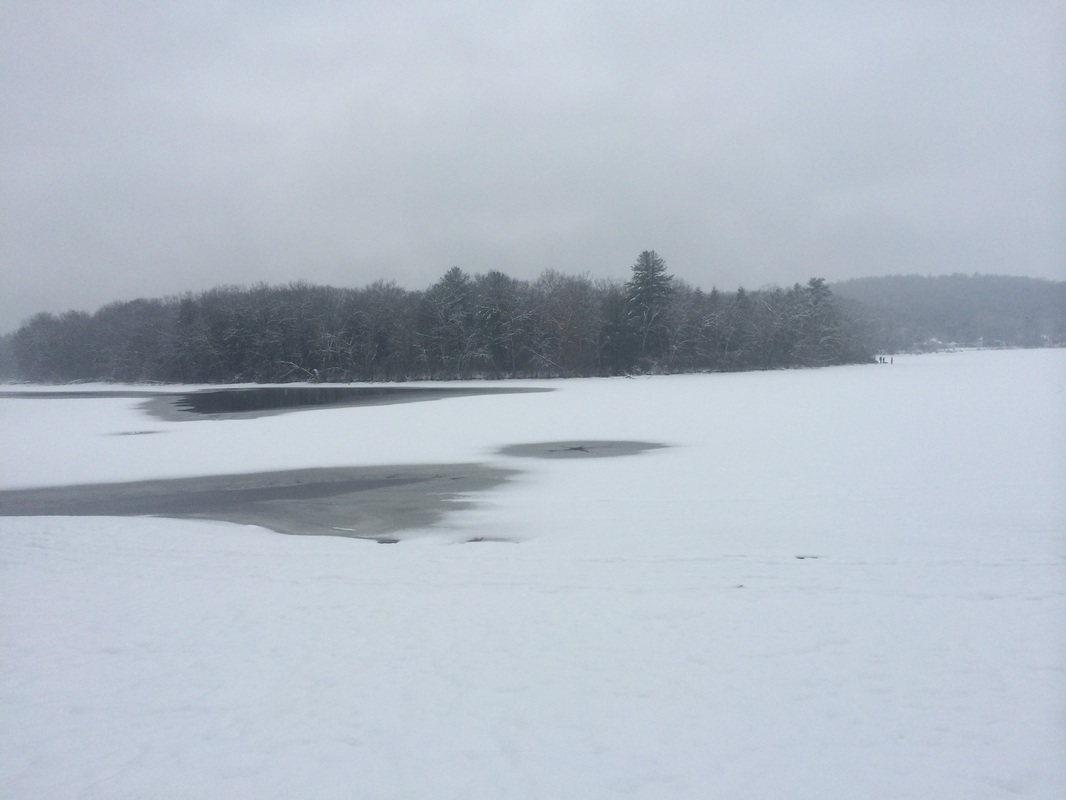
After a few moments, we
turned and make our way back to the car.
This was a great hike. I’m sad my time on the Nehantic has come to an end. But there are still a few other trails in the area so my time in southeast CT is far from over. I’m not sure when I’ll be back, but I’ll definitely find myself in this neck of the literal woods someday.
Until next time…
This was a great hike. I’m sad my time on the Nehantic has come to an end. But there are still a few other trails in the area so my time in southeast CT is far from over. I’m not sure when I’ll be back, but I’ll definitely find myself in this neck of the literal woods someday.
Until next time…
For a map of this hike, along with elevation data, please click here.
Total 2015 Distance: 50.0
(450.0 to Goal)
