Sticks and Stones
Hike # 96
Mattabesett Trail
Old Blue Hills Road (Durham, CT) to Route 77/Lone Pine Trail (Guilford, CT)
Section Distance (Per CFPA Walk Book): 6.8 Miles
Hike Distance: 6.89 Miles
Date Hiked: 4/6/2014
Date Published: 4/19/2014
Hike # 96
Mattabesett Trail
Old Blue Hills Road (Durham, CT) to Route 77/Lone Pine Trail (Guilford, CT)
Section Distance (Per CFPA Walk Book): 6.8 Miles
Hike Distance: 6.89 Miles
Date Hiked: 4/6/2014
Date Published: 4/19/2014
The title of this recap comes from the number of odd rocks and rock formations we encountered on this leg of the Mattabesett Trail, including The Pyramid in Durham and The Selectman's Stones on the Durham/Madison/Guilford border. More on both of those rocks in a bit. For now, just know that it had been three weeks since my last hike with Mark on the Mattabesett. And, we were a little over due...so we arranged to meet at the parking location off of Route 77 in Guilford. Note: there are two parking locations here. If you are heading south on Route 77, the one we used is on the left, right where the Lone Pine Trail (a CT400 required, Mattabesett side trail). We spotted my car here and I jumped in his car to make our way over to Old Blue Hills Road, where we left off last time...Roscoe was sitting this one out.
Once we completed the 10 minute drive over to Old Blue Hills Road, we parked Mark's car off road...about a third of a mile from the trailhead. There is a sign at the trailhead, which we saw on our last hike through the area, asking people to make sure they park their vehicles on the grass and not just the side of the road. The unfortunate part of that request is there is a sizeable curb, which we didn't see last time because there was still a lot of snow on the ground. If we'd known, we might not have left my Journey at the other trailhead as we probably could've climbed over the curb in my Journey. In the end, we parked a little way up Old Blues Hills Road and added a bit of a road walk to the start of our hike.
Once we geared up, we started by heading due west on Old Blue Hills Road...
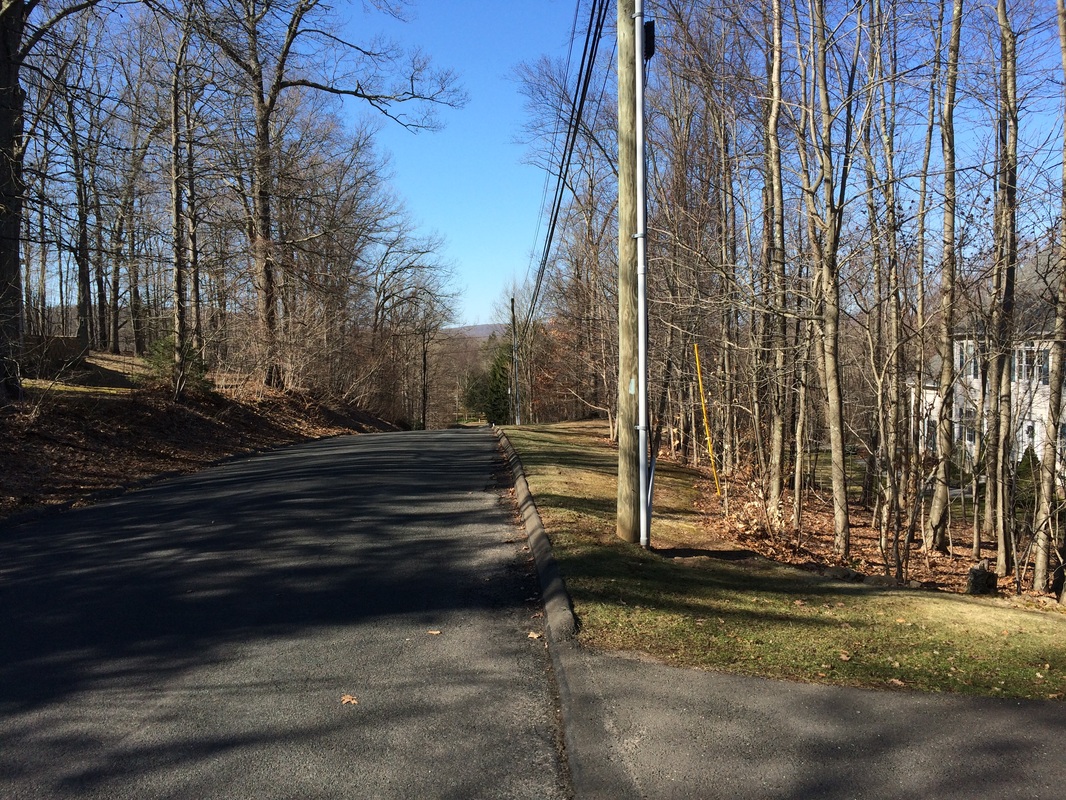
After following Old Blue Hills Road for about a mile, we crossed Route 79 and made the next left on Pisgah Road. Here, our road walk continued as we started to make our way due south. After another 6/10 of a mile, we turned right (west) and finally entered the woods...immediately heading uphill...
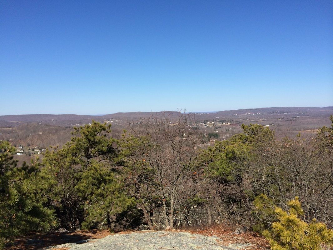
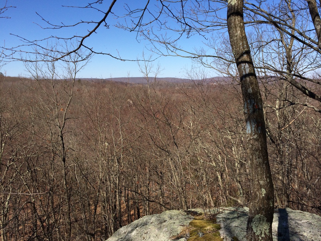
Over the next half of a mile or so, we ascended to Mount Pisgah (elevation: 644 feet). Roughly 2.1 miles in, we stopped to enjoy the view from the top...
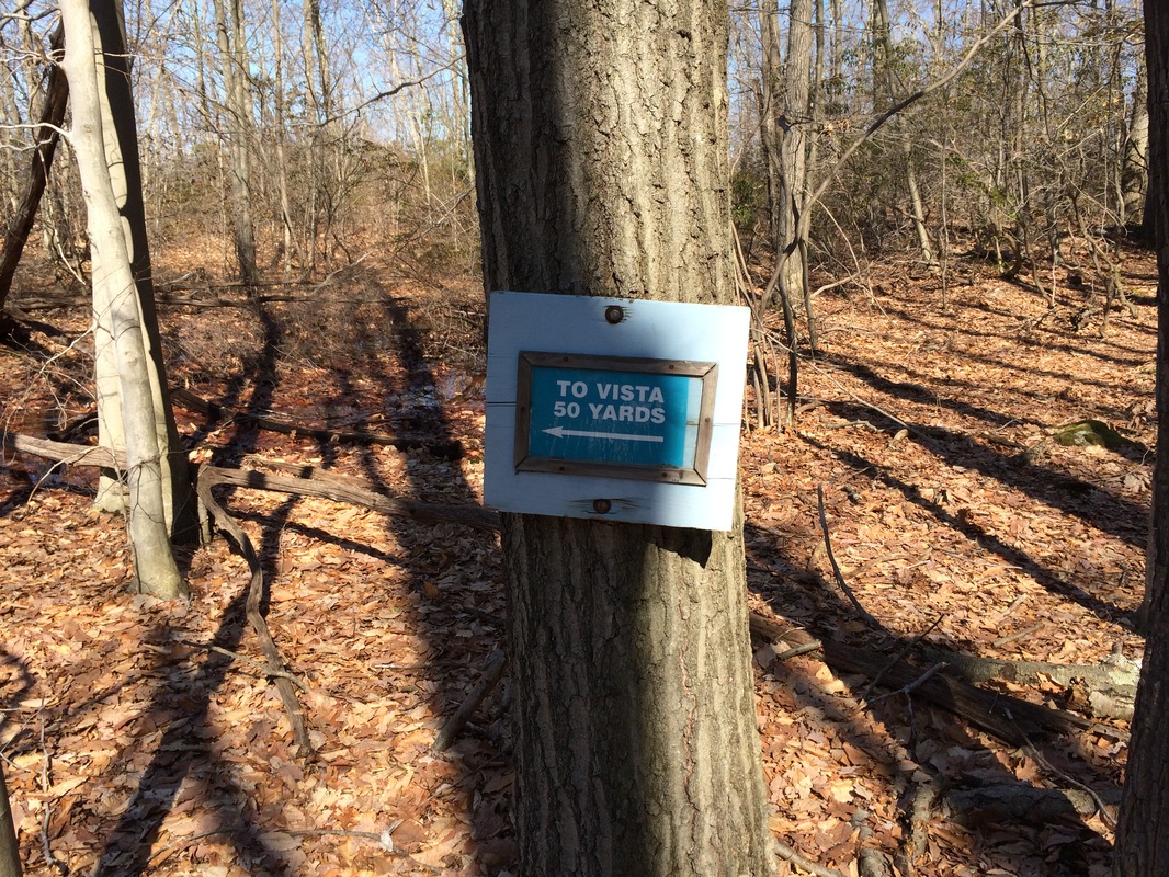
After a moment or two, we continued on our journey...heading due south again. Here, the trail descends down the western facing slope of Mount Pisgah...but it does so over a series of extended switchbacks. There is also a blue/orange-blazed spur trail on the next level down, which leads to an alternate overlook. But, in my opinion, the view from the top is much better and you can skip this spur trail...
|
|
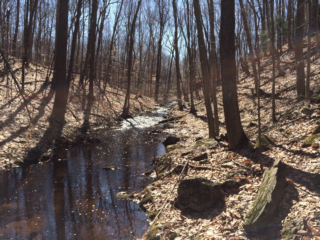
Approximately 3.2 miles in, we reached and crossed Chalker Brook. After crossing, we followed the brook due south for stretch....
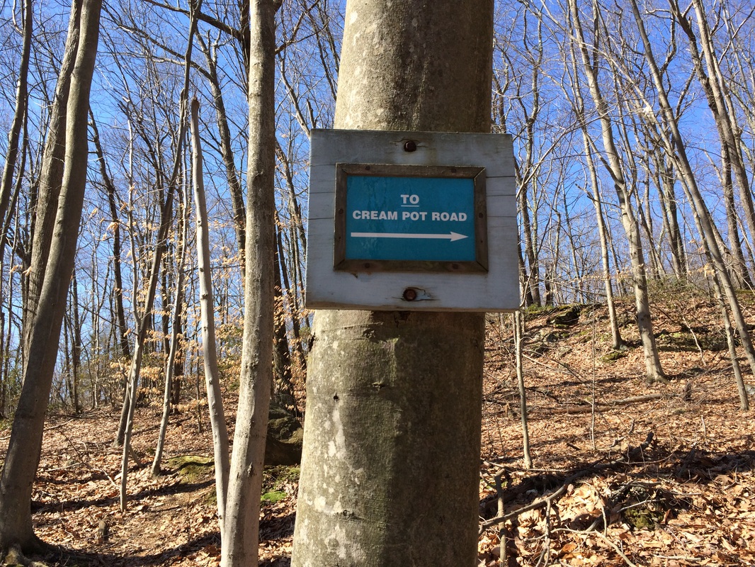
Soon after, we made a right and walked by a sign for the Cream Pot Access Trail. A right at the sign would've brought us out to Cream Pot Road, where there is an alternate parking location. But, we had already left my vehicle off of Route 77, so we continued on the Mattabesett...
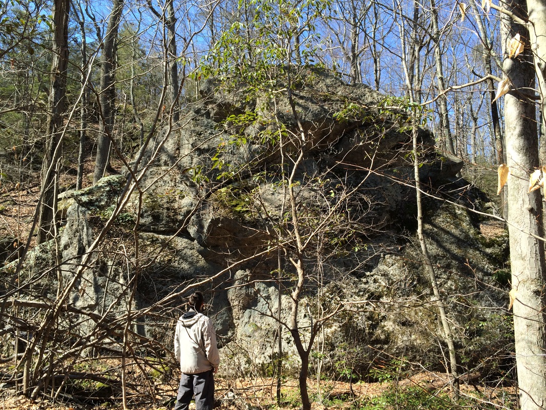
Roughly 3.4 miles in, we came to the first odd rock formation of our hike. Here, in the middle of the woods of Durham is a massive boulder which the Walk Book calls "The Pyramid". You'll know you are in the right area...it is impossible to miss this thing. For perspective, you can see Mark standing in front of it in the picture below. I don't recall his exact height, but he is about 5' 5". Like I said, this rock is massive...
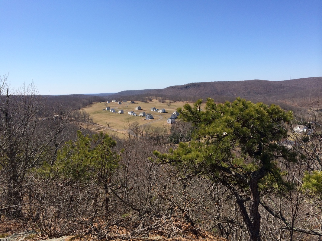
After passing The Pyramid, we climbed for a bit and then gradually turned to the south. Here, we made our way along the Mica Ledges, which overlook a fairly new development in Durham. These view also allowed us to get a good look at Bluff Head (to the right of center frame) and the Broomstick Ledges (a little left of center). Both features make up the southernmost section of the Mattabesett. And, these views provided a preview for some of the features we would walk over on future Mattabesett hikes.
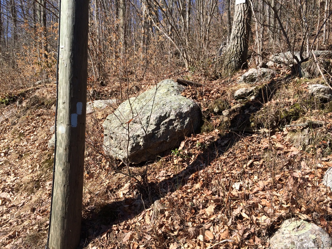
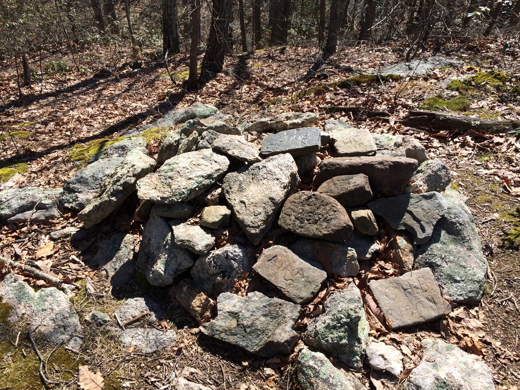
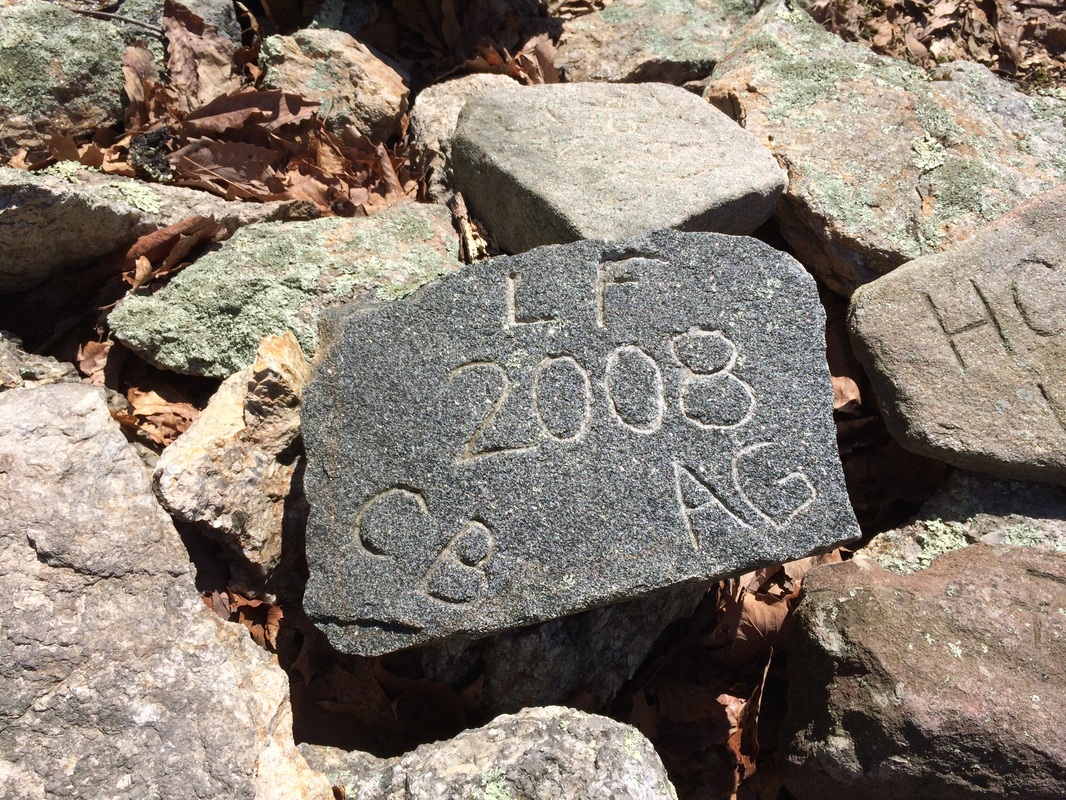
Approximately 4.4 miles in, we came to the second "odd rock" I mentioned at the start of this recap. Marking the boundary for Durham, Madison, and Guilford is a rock pile with numbers and initials inscribed on them. These "Selectmen's Stones" are placed here as part of a tradition which can be traced back as far as the Celts. The practice of marking a boundary with stones such as these crossed the Atlantic with the Puritans. I expected to find old stones, but I was surprised to see this tradition was being carried out as recently as 2008. Cool stuff...
|
|
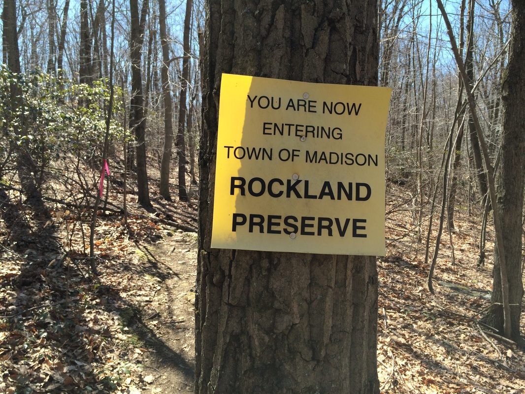
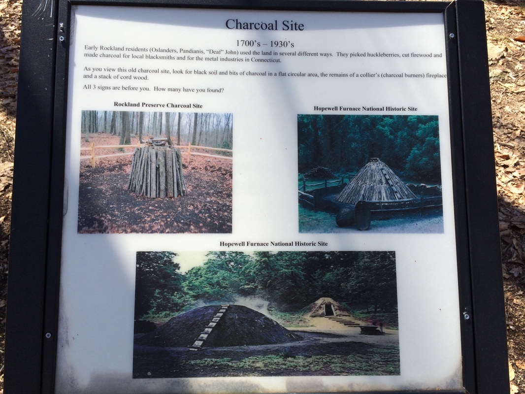
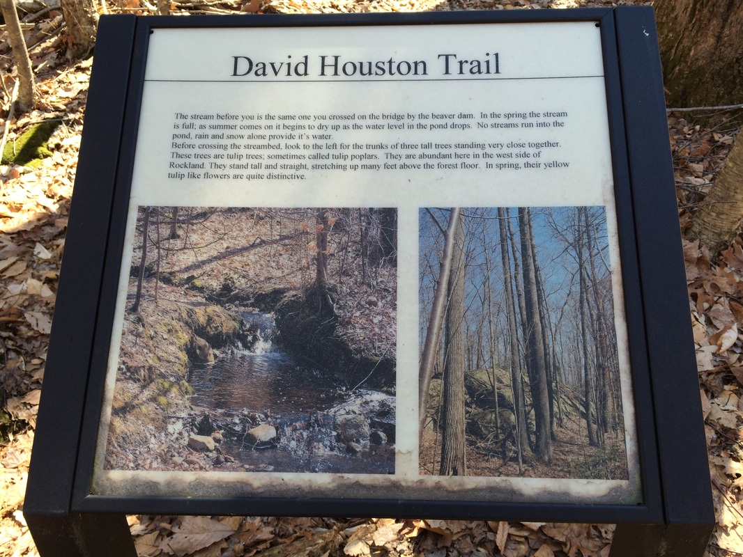
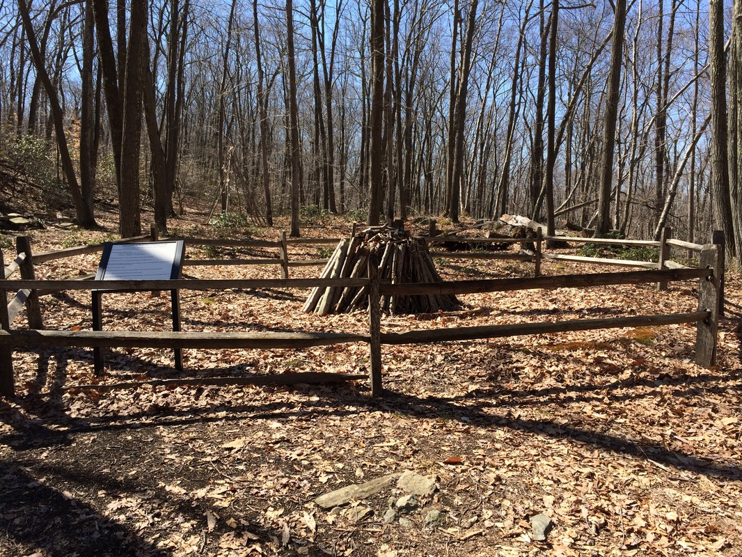
From the Selectmens' Stones, we continued to make our way due south...entering Rockland Preserve. We pass a few other trails and found information about a charcoal site which dates back to the early 1700's...
|
|
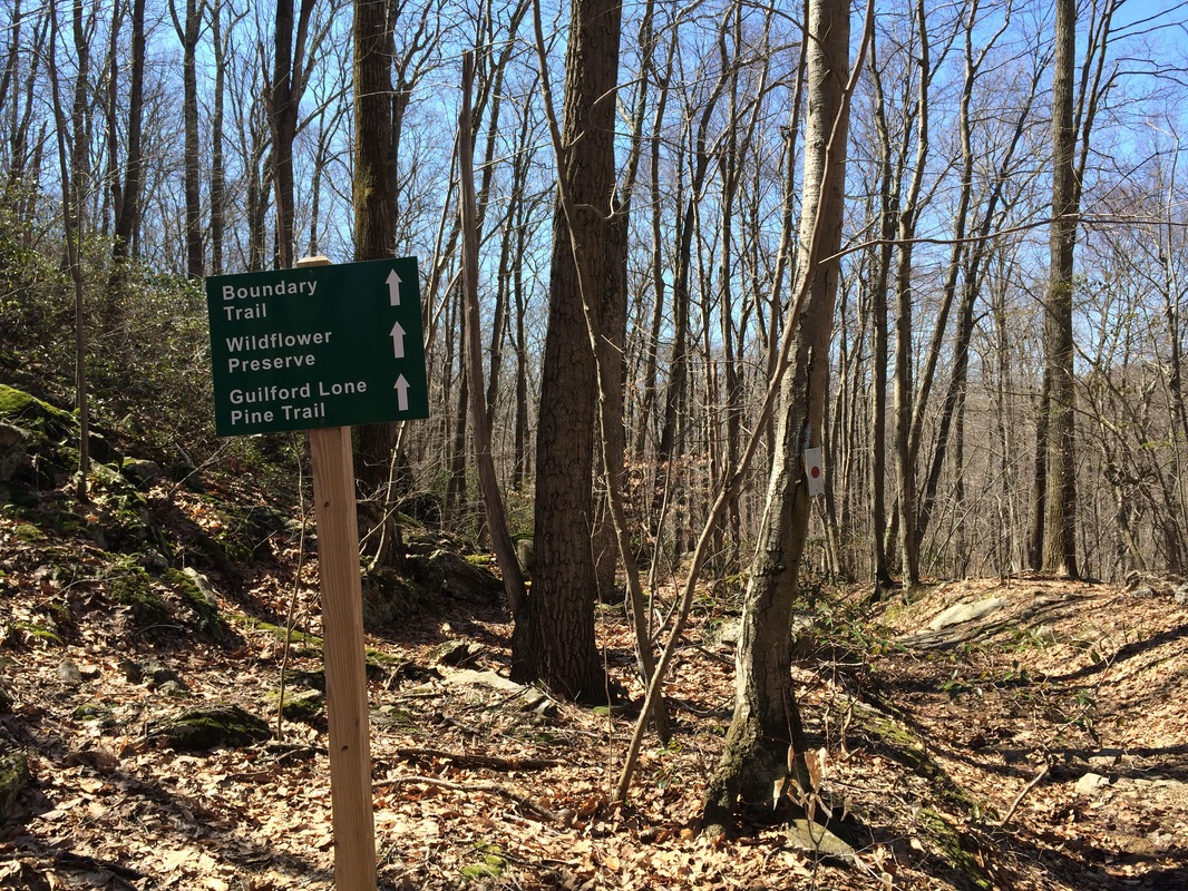
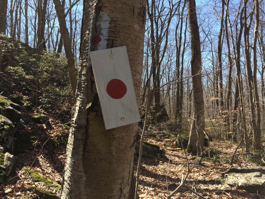
At around the 5.7 mile point of our journey, we reached the Lone Pine Trail. The Mattabesett continues to due south for a couple of more miles before crossing Route 77. But, we had planned to do that next section on our next hike. So, we followed the blue/red-blazed Lone Pine Trail...
|
|
The Lone Pine Trail is a 4.1 mile trail which passes through Guilford's Braemore, Myerhuber, and James Valley preserves, and the Guilford Land Conservation Trust's Bluff Head Preserve. The trail provides an alternate route between two sections of the Mattabesett Trail. Or, it can be combined with the southernmost section of the Mattabesett for a loop hike of 9.5 miles.
On this hike, Mark and I were only looking to complete first mile or so. From the Mattabesett, we followed the Lone Pine down an old woods road to Braemore Preserve. The trail gradually brought us downhill. At one point, Mark almost stepped on this little guy...
On this hike, Mark and I were only looking to complete first mile or so. From the Mattabesett, we followed the Lone Pine down an old woods road to Braemore Preserve. The trail gradually brought us downhill. At one point, Mark almost stepped on this little guy...
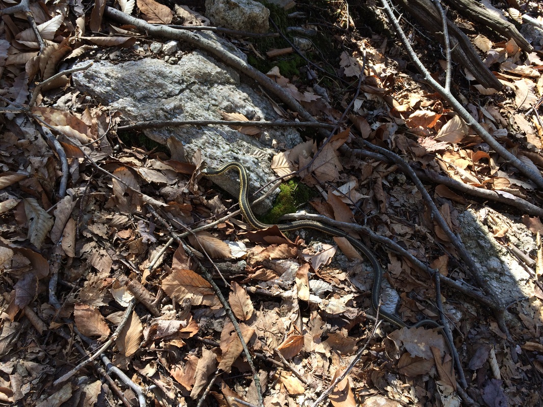
Before anyone has a panic attack, that is a HARMLESS...2 foot long Garter Snake...and you are just as likely to see one in your backyard as you are in the middle of the woods. So, if seeing something like this is going to keep you from enjoying the woods, remember this is the first one I've seen in over 90 hikes. And, I've seen a plenty of them in my lifetime outside of the woods.
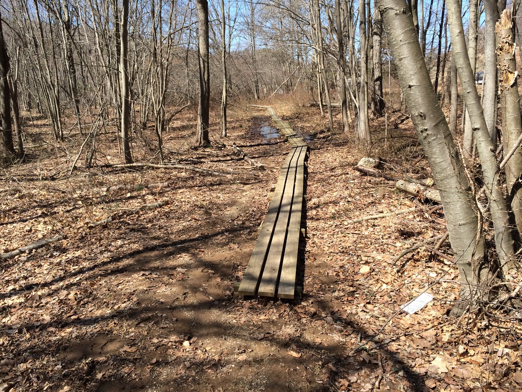
After our encounter with the snake, we continued making our way gradually downhill...did a somewhat unnecessary "plank walk" on the boards you see below...and returned to my vehicle...
After our encounter with the snake, we continued making our way gradually downhill...did a somewhat unnecessary "plank walk" on the boards you see below...and returned to my vehicle...
For a map of this hike, along with elevation data, please click here.
Total 2014 Miles: 186.74
