Therapy Session
Hike #124
Mattabesett Trail
Route 77 (Guilford, CT) to Lone Pine Trail, East Junction (Madison, CT)
Hike Distance: 4.7 Miles
Section Distance (Per CFPA Walk Book): 2.4 Miles
Date Hiked: 1/19/2015
Date Published: 1/19/2015
Note: The day before the hike described in this recap, I took Roscoe to Gay City State Park in Hebron, Connecticut. While there, I re-hiked some of the trails which I’ve previously recapped (Hikes # 11 and 12). I’m not going to recap those trails again here. However, that hike added 6.6 miles to my total for 2015, brining my mile count to 39.0. Also, while on that hike, I passed the 1000 mile mark…hiking more than 1000 miles since October of 2011.
A few weeks prior to this hike, my friend Mark inquired as to when we would start working on the Mattabesett Trail again. So, we made plans to continue our journey on Martin Luther King Day. Then, the day before the hike, the Packers took a tough loss to the Seahawks in the playoffs. So, I knew I was going to need this hike to help me clear my head. Fortunately, Mark is great company and...while we did discuss the game a little…most of our conversation helped me keep my mind off of what is quite possibly the worst loss I’ve ever seen in my 20 years of watching football.
Back in April of 2014, Mark and I left off the Mattabesett at the east junction of the Lone Pine Trail. Approximately 1.1 miles west of the trail junction, the Lone Pine Trail crosses Route 77, at Braemore Preserve. And, that is where we agreed to meet up for this hike.
To reach the parking location from Hartford:
Follow I-91 South to Route 9 South and take Exit 13 in Middletown. Take Route 17 South to Route 77 South and park across from a large red barn at Braemore Preserve.
On that day back in April, we left roughly a 2.4 mile section of the Mattabesett (south of the Lone Pine Trail and east of Route 77) to cover. So, the plan for this hike was to cover that section. We could accomplish this one of two ways…either by re-tracing our steps on the Lone Pine Trail to the trail junction and turning south or by following Route 77 on foot for about a mile before making a left turn to follow the Mattabesset east. Either way, this would be a loop hike. But, the Walk Book describes a tricky descent if we went with option A…and conditions were a little slick from the rain we received the day before. So, we decided to go with option B and make the tricky descent into a climb. We started by following Route 77 south…
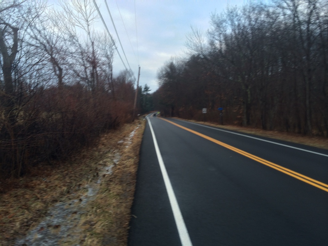
Approximately 9/10 of a mile
in, after dodging several speeding vehicles on our road walk south, we turned
left and picked up the Mattabesett where it crosses Route 77…
Heading due east, we found the
climb from (or descent to, if you are coming the other direction) Route 77 isn’t quite
as steep as the Walk Book made it sound.
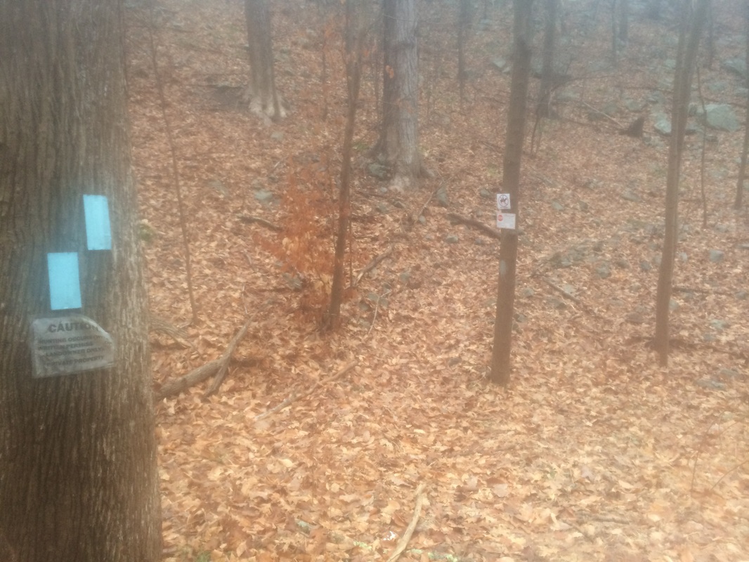
Still, I would advise caution throughout this section of the
Mattabesett, known as Broomstick Ledges, especially during icy conditions. There are several up-downs and we found
the ledges to be slippery.
Roughly 2.1 miles in, after carefully making our way through the Broomstick Ledges section of the trail, we passed the Menunkatuck Trail junction…
Roughly 2.1 miles in, after carefully making our way through the Broomstick Ledges section of the trail, we passed the Menunkatuck Trail junction…
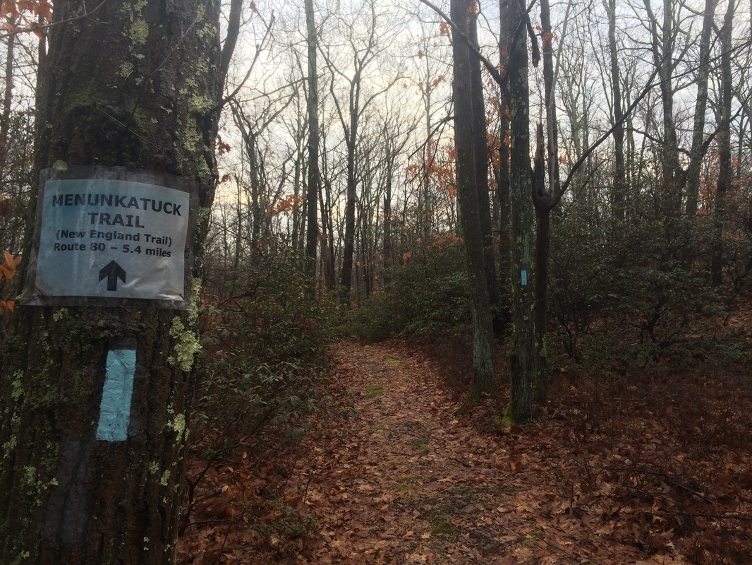
The Menunkatuck, one of
Connecticut’s newer blue-blazed trails, is the southernmost section of the New
England Trail (NET). From here, the Menunkatuck
stretches south for 11 miles to Long Island Sound. I look forward to hiking this trail someday
in the future. For now, we continued on
the Mattabesett.
There wasn’t much to see in the next section of trail, so we turned to conversation about sci-fi movies and my Camden Yards Lego Project.
Approximately 3.6 miles in, after entering Guilford’s Rockland Preserve, we reached the east junction of the Lone Pine Trail…
There wasn’t much to see in the next section of trail, so we turned to conversation about sci-fi movies and my Camden Yards Lego Project.
Approximately 3.6 miles in, after entering Guilford’s Rockland Preserve, we reached the east junction of the Lone Pine Trail…
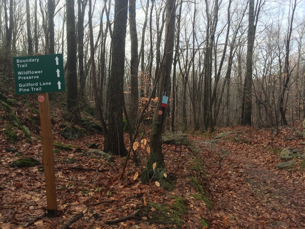
We made a left and followed
the Lone Pine Trail west for roughly 1.1 miles until we reached the parking area
where we had earlier left our cars.
This was a fun hike. The trail didn’t give us many highlights, but we had great conversation and I suspect the trail will make up for it in the next section as we head up to Bluff Head and Totoket Mountain. And, in all seriousness, I wasn’t that upset about the Packers loss. After all, it is only a game. And, more importantly, there are only a few more weeks before pitchers and catchers report for Spring Training. So, the color scheme changes from Green & Gold to Orange & Black and “Go Pack Go” becomes “Let’s Go O’s!” No big deal.
Until next time…
For a map of this hike, along with elevation data, please click here.
Total 2015 Distance: 43.7
(456.3 to Goal)
