The Walking Dead
Hike #123
Nehantic Trail
Pachaug Trail Divergence to Nehantic-Quinebaug Crossover Trail (Griswold, CT)
Hike Distance: 5.3 Miles
Section Distance (Per CFPA Walk Book): 1.7 Miles
Date Hiked: 1/17/2015
Date Published: 1/18/2015
Hike #123
Nehantic Trail
Pachaug Trail Divergence to Nehantic-Quinebaug Crossover Trail (Griswold, CT)
Hike Distance: 5.3 Miles
Section Distance (Per CFPA Walk Book): 1.7 Miles
Date Hiked: 1/17/2015
Date Published: 1/18/2015
Note: Six days before the hike
described in this recap, I took Roscoe to Gay City State Park in Hebron,
Connecticut. While there, I re-hiked
some of the trails which I’ve previously recapped (Hikes # 11 and 12). I’m not going to recap those trails again
here. However, that hike added 5 miles
to my total for 2015, brining my mile count to 27.1.
For this hike, I wanted to continue my journey along the Nehantic. But, I didn’t want to re-hike too many of the miles of trail which are shared with the Pachaug. So, instead of picking up the Nehantic where I last left off (at the Pachaug convergence), I decided to design a hike which would allow to re-hike as little of the Pachaug as possible. I elected to park at a large parking location within the Pachaug State Forest.
To reach the parking location from Hartford:
Follow Route 2 east to I-395 North. From I-395 North, take exit 85 and go straight at the end of the exit ramp. At the next light, turn right on Route 138 and follow that through Voluntown Center (where Routes 138, 165 and 49 converge). Turn left to follow Route 49 when it leaves Route 138 and make another left to enter the state forest. Follow the park road, bearing left at a fork, and look for signs to the Rhododendron Sanctuary.
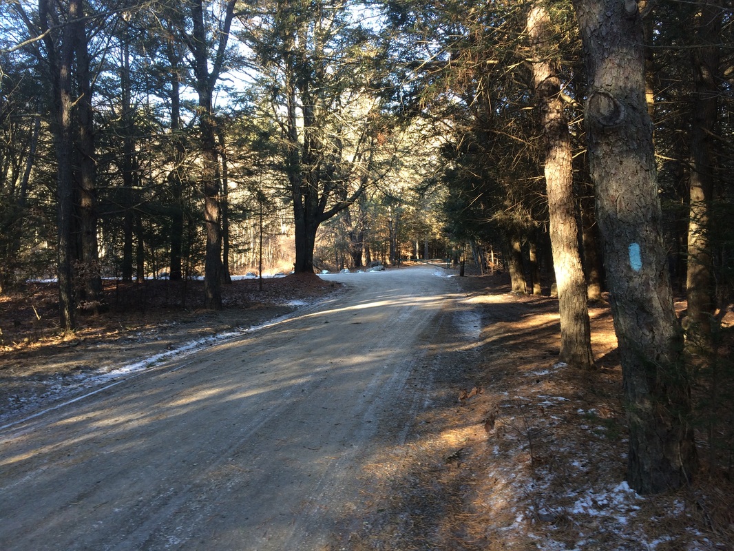
After making the hour long drive, I geared up…got Roscoe geared up…and we hit he trail. We started by following the gravel road (Cutoff Road), passing a large recreation field on our left and some campsite areas on our right. We made our way around a gate, barely visible in the picture below…
For this hike, I wanted to continue my journey along the Nehantic. But, I didn’t want to re-hike too many of the miles of trail which are shared with the Pachaug. So, instead of picking up the Nehantic where I last left off (at the Pachaug convergence), I decided to design a hike which would allow to re-hike as little of the Pachaug as possible. I elected to park at a large parking location within the Pachaug State Forest.
To reach the parking location from Hartford:
Follow Route 2 east to I-395 North. From I-395 North, take exit 85 and go straight at the end of the exit ramp. At the next light, turn right on Route 138 and follow that through Voluntown Center (where Routes 138, 165 and 49 converge). Turn left to follow Route 49 when it leaves Route 138 and make another left to enter the state forest. Follow the park road, bearing left at a fork, and look for signs to the Rhododendron Sanctuary.
After making the hour long drive, I geared up…got Roscoe geared up…and we hit he trail. We started by following the gravel road (Cutoff Road), passing a large recreation field on our left and some campsite areas on our right. We made our way around a gate, barely visible in the picture below…
Beyond the gate, I did my
best not to slip and fall because the road was a sheet of ice. My original plan was to head up and over
Mount Misery on the hike back to the car.
But, considering how slippery the road was...and knowing how steep the west side of the "mountain" is from when I sumitted it on my Pachaug hikes last year...I elected to scrap this
plan.
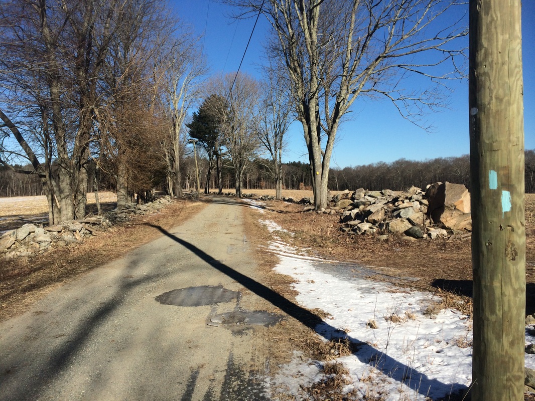
Approximately 4/10 of a mile in, we made a left turn and started following Firetower Road.
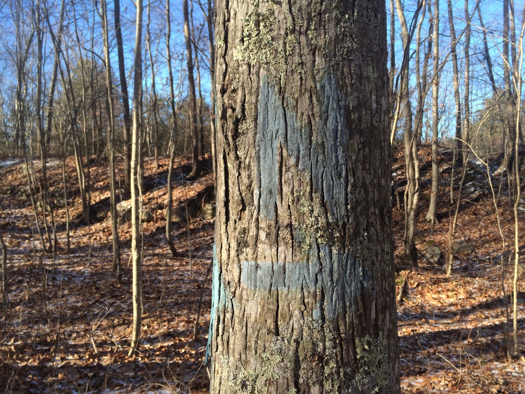
Roughly 6/10 if a mile later, we reached the intersection of Firetower Road and the Nehantic / Pachaug trails near a forest gate. We made a right and started following blue blazes.
This section of trail was familiar to me, I had hiked it roughly 11 months earlier, but it didn’t feel exactly as I remembered it…which was good.
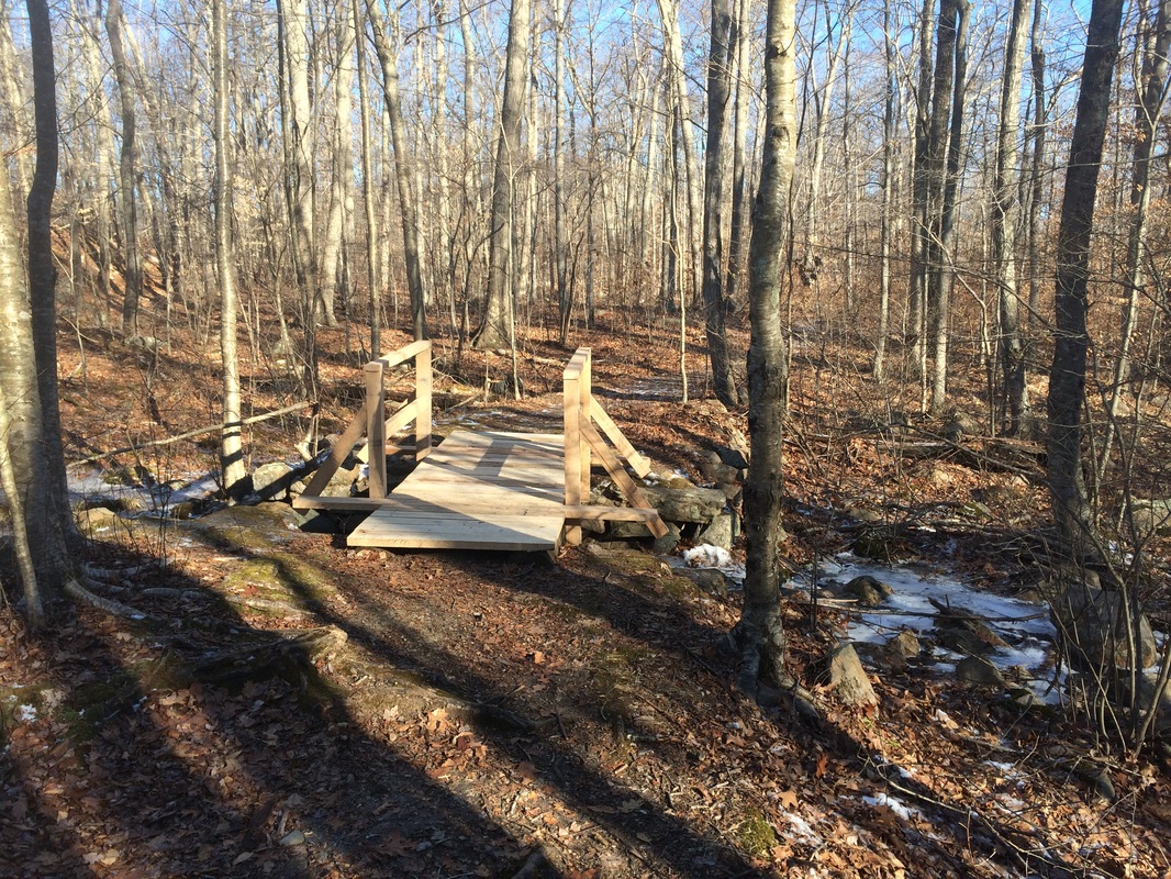
Approximately 1.4 miles in, we reached a large embankment. Here, the Pachaug Trail diverges left (southwest) and the Nehantic continues right (north) across a footbridge…
Approximately 4/10 of a mile in, we made a left turn and started following Firetower Road.
Roughly 6/10 if a mile later, we reached the intersection of Firetower Road and the Nehantic / Pachaug trails near a forest gate. We made a right and started following blue blazes.
This section of trail was familiar to me, I had hiked it roughly 11 months earlier, but it didn’t feel exactly as I remembered it…which was good.
Approximately 1.4 miles in, we reached a large embankment. Here, the Pachaug Trail diverges left (southwest) and the Nehantic continues right (north) across a footbridge…
We made the right turn and
followed the Nehantic. The next section
of the trail didn’t offer much. I was surprised
because the Walk Book refers to this section as “picturesque”…perhaps this is a
seasonal issue. I'd like to think this is a beautiful hike in the spring, but I noticed a few areas
which lead me to believe this section is probably a muddy mess.
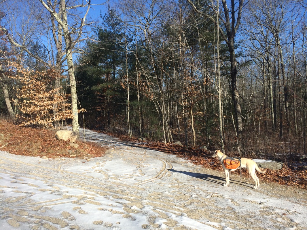
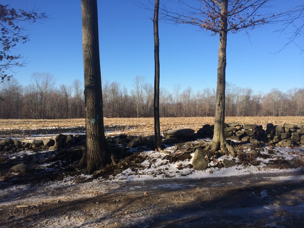
Roughly 2.2 miles in, we crossed a gravel road and I stopped to take the picture at the top of the recap.
Approximately 3.1 miles in, after making our way gradually uphill for a bit, we reached Lee Road…
Roughly 2.2 miles in, we crossed a gravel road and I stopped to take the picture at the top of the recap.
Approximately 3.1 miles in, after making our way gradually uphill for a bit, we reached Lee Road…
I had planned to turn around
here if I was too cold (the temperature was in the teens), but left myself the
option of continuing on Lee Road until I reached the next turn (roughly 0.1
mile according to the Walk Book). I wasn’t
ready to head back, so I made the turn and saw an old farm referenced in the
Walk Book…
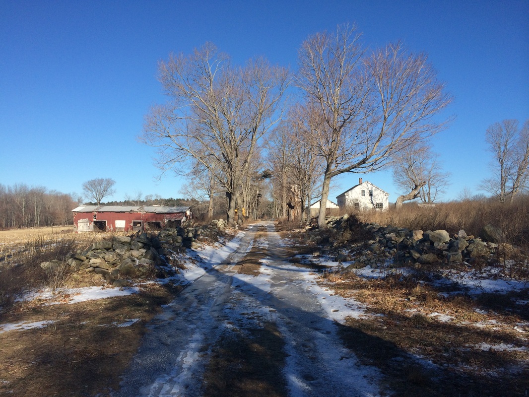
Sadly, my picture doesn’t do
the farm any justice…and, from a distance, it doesn’t look that intimidating…but
believe me when I tell you this thing looks like something straight out of The Walking
Dead. I could almost feel the eyes of The
Walkers staring at me as I passed. It also didn't help that I hadn't seen anyone else on the trail today.
A short while later, now roughly 3.3 miles in, we reached the left turn which takes the Nehantic away from Lee Road…
A short while later, now roughly 3.3 miles in, we reached the left turn which takes the Nehantic away from Lee Road…
According to the Walk Book,
there is another trail here…the Nehantic-Quinebaug Crossover Trail…which continues
straight on Lee Road. I didn’t see any
blazes, but I’ll get a closer inspection on my next Nehantic hike.
For now, this was the end of the line. So, we turned around and started making our way back to the car…passing the creepy Walking Dead farm on our way. Instead of retracing all of our steps from earlier in the day, we made a left at the gravel forest road and used it to hook back up with Cutoff Road, before returning to the large recreation field.
This was a fun hike. I was starting to lose interest near the halfway point, but that was before the old farmhouse, which is definitely the highlight of this section.
Until next time…
For a map of this hike, along with elevation data, please click here.
Total 2015 Distance: 32.4
(467.6 to Goal)
