Walking Tall
Hike #146
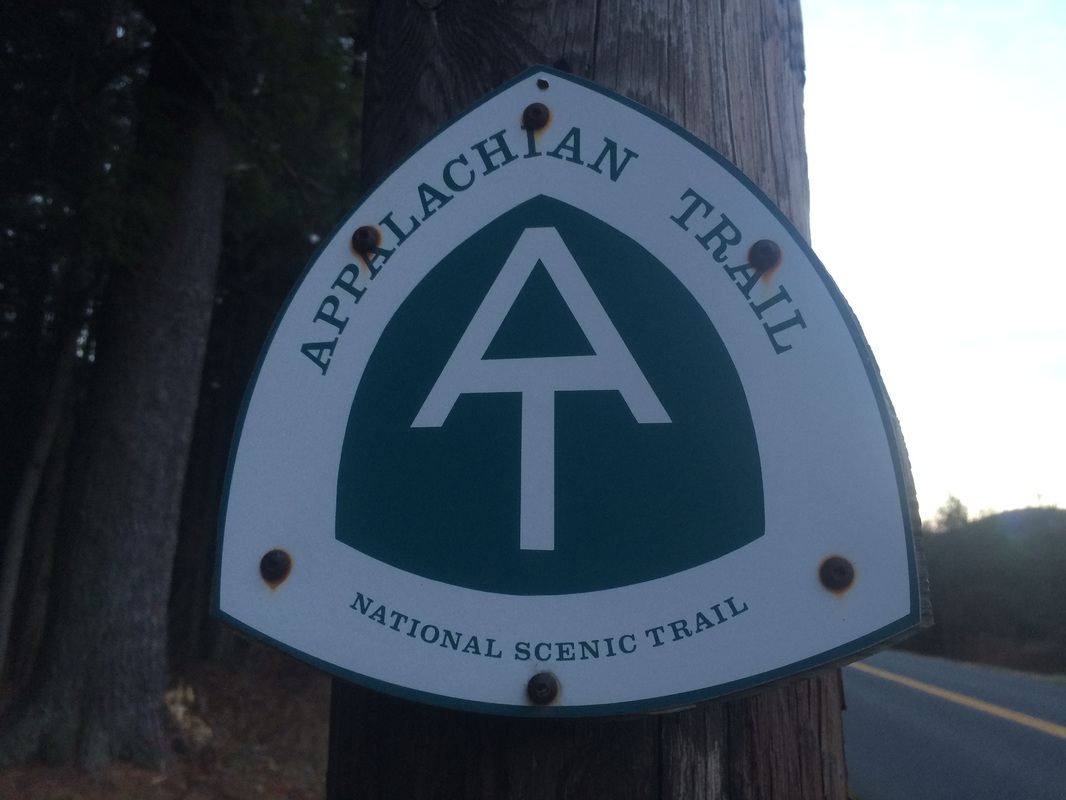
Appalachian Trail
Main Road (Tyringham, MA) to Upper Goose Pond Cabin Trail (Lee, MA)
Hike Distance: 15+ Miles (Includes Goose Pond Cabin Trail)
Date Hiked: 11/21/2015
Date Published: 11/22/2015
Hike #146
Appalachian Trail
Main Road (Tyringham, MA) to Upper Goose Pond Cabin Trail (Lee, MA)
Hike Distance: 15+ Miles (Includes Goose Pond Cabin Trail)
Date Hiked: 11/21/2015
Date Published: 11/22/2015
Note: One week prior to the hike described in this recap, I made my way over to the Case Mountain trails in Manchester, Connecticut. While there, I re-hiked some of the trails which I’ve previously recapped (Hikes # 7, 8 and 9). I’m not going to recap those trails again here. However, that hike added 10.6 miles to my total for 2015, bringing my mile count to 381.6.
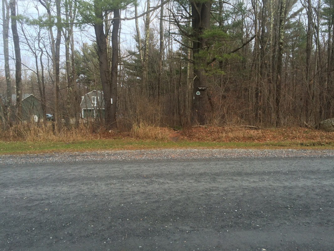
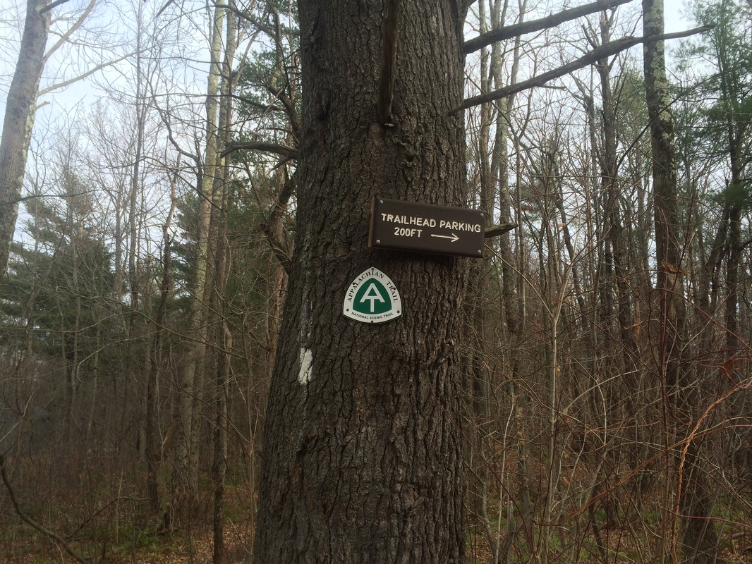
On my previous Appalachian Trail hike (#145), I made my way southbound…in the pouring rain…from Main Road in Tyringham, Massachusetts to the side trail for the Mount Wilcox North Shelter. For this hike, I would park at the same location…on Main Road…and make my way northbound on the next section of trail.
To reach the trailhead:
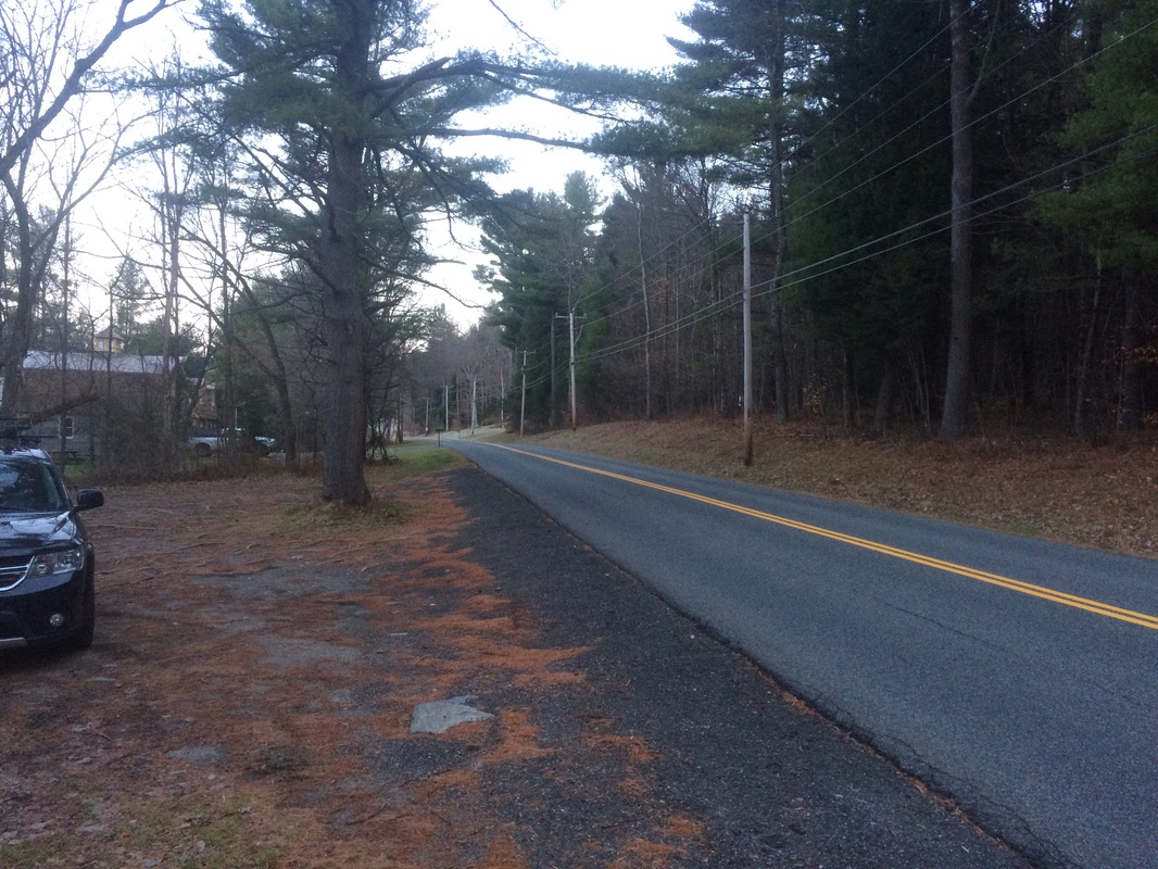
Follow I-91 North to CT Route 20 West. Turn right on CT Route 189 in Granby then, after crossing the state line, turn left on MA Route 57. After twelve miles, turn right on U.S. Route 8. After eight miles, turn left on MA Route 23. After three miles, turn right on Main Road. The parking location is on the left side of the road, in approximately four miles…
Follow I-91 North to CT Route 20 West. Turn right on CT Route 189 in Granby then, after crossing the state line, turn left on MA Route 57. After twelve miles, turn right on U.S. Route 8. After eight miles, turn left on MA Route 23. After three miles, turn right on Main Road. The parking location is on the left side of the road, in approximately four miles…
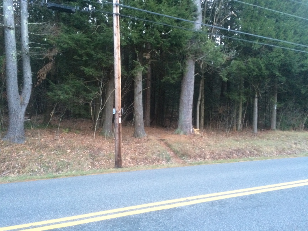
As I closed out my previous AT hike, I stashed a nice walking stick I’d found earlier in the day near the southbound trailhead. My hope was it would still be there and I could use it whenever I got around to hiking the next section. I didn’t spend a lot of time over the last eight days concerned about the stick, but I did occasionally wonder if anyone else found it and used it. Prior to setting out for this hike, I took a quick detour down the southbound path. To my delight, I found the stick exactly where I left it. Now fully geared up with my trusty walking stick in hand, I crossed Main Road and started following white blazes due north...
The first 1.8 miles of this section is almost entirely climb…a category 3 climb according to MapMyFitness. I must’ve been amped up because I don’t remember it being that difficult on the way out. But, on the return trip, I did notice just how steep this section is. Maybe the two owls “who-who-whoing” in the early morning sunlight was enough to keep me distracted from the difficulty of this section. I never did get a visual on either of them, but maybe my repeated stopping to try and locate them made this section seem easier.
Approximately 1.9 miles in, after slightly descending from the top of the hill I just climbed, I crossed Webster Road…
Approximately 1.9 miles in, after slightly descending from the top of the hill I just climbed, I crossed Webster Road…
On the other side of the road, the trail descends a bit more before running parallel to Merry Brook.
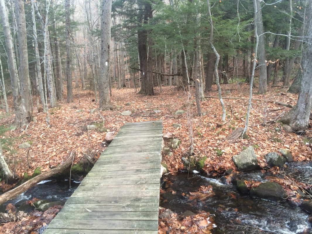
Roughly 2.3 miles in, I crossed Merry Brook on this footbridge…
Roughly 2.3 miles in, I crossed Merry Brook on this footbridge…
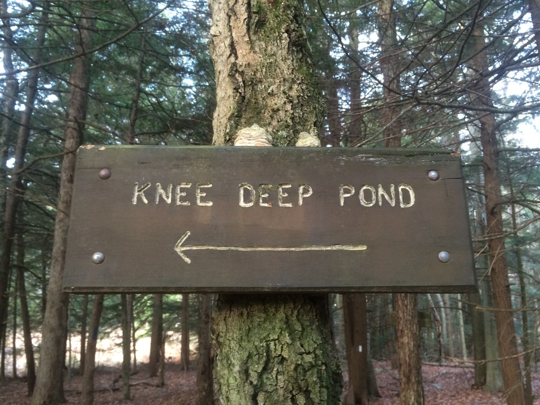
Approximately 2.5 miles in, I passed a side trail to Knee Deep Pond on my left…
There wasn’t much to see in the next 1.9 miles. There were a few hills here and there, but not much elevation change. Also, the trail is a little rocky in some sections, but nothing overly dangerous…just the occasional ankle turn.
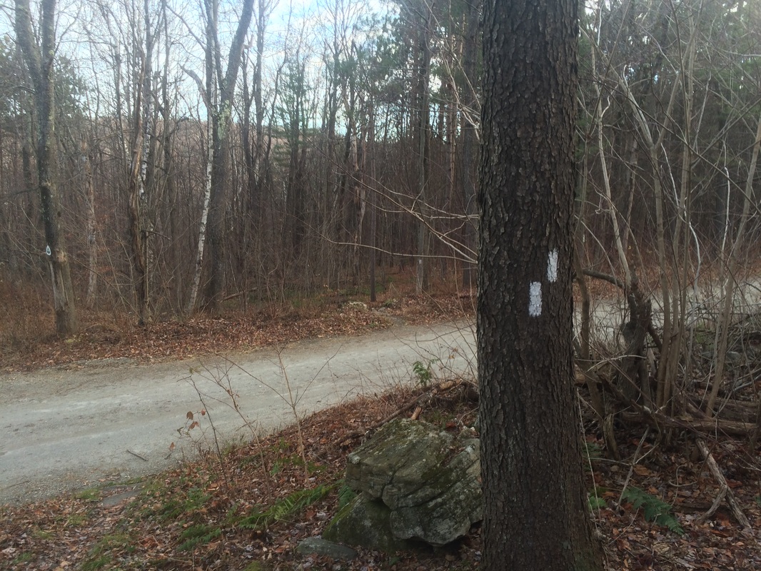
Roughly 4.4 miles in, I crossed Goose Pond Road…
Roughly 4.4 miles in, I crossed Goose Pond Road…
I didn’t know this prior to my hike, but there is an alternate parking location here...
Approximately 4.9 miles in, I crossed Cooper Brook on this foot bridge…
On the other side of the bridge, the trail begins to climb again for an extended period…8/10 of a mile or so. There is also a tricky spot with an unmarked trail in this section. Heading northbound I was fine, but I thought an extra blaze would help ease confusion for this traveling southbound. I made a mental note to remember this spot on the return trip.
Roughly 5.2 miles in, I came to these strange blazes…
Roughly 5.2 miles in, I came to these strange blazes…
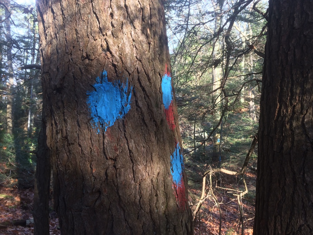
I still haven’t figured out what these are. At first, I thought they must identify the Natural Area around Upper Goose Pond. But, I passed a marker identifying the entrance later. I also thought it might be a couple of side trails, but my pre-hike research didn’t show any side trails in the area…and, I didn’t see anything which looked like a clear path. At the end of the day, my suspicion is this is just someone having a little fun with a paintball gun.
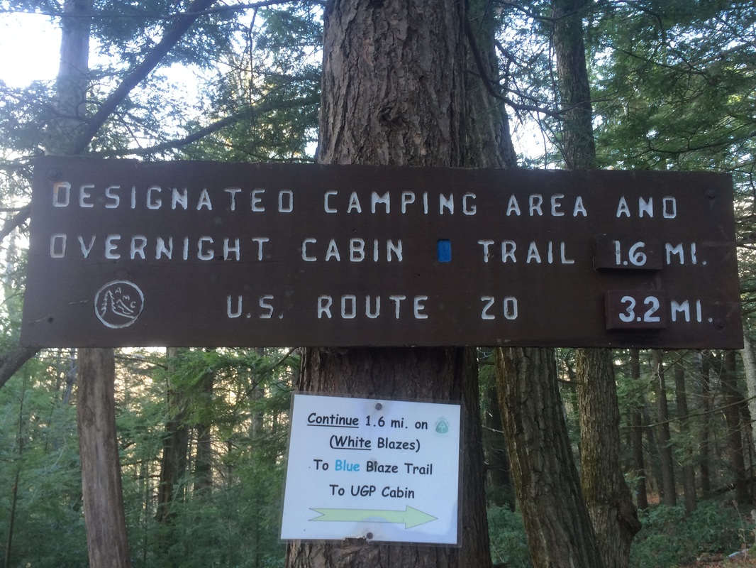
Approximately 5.5 miles in, I entered the Natural Area around Upper Goose Pond…
Approximately 5.5 miles in, I entered the Natural Area around Upper Goose Pond…
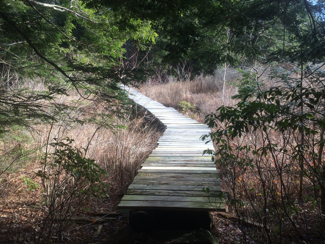
Shortly after passing the sign in the photo above, the trail started to descend. There are even a few rock “staircases” in this next section. On the way down, I thought about how these weren’t really necessary…only to realize just how helpful they are on the way return trip. My pre-hike research told me I should start to see signs of the pond around the 6.2 mile mark…but I didn’t really see anything for a while. According to my map, I was near the southeastern edge of the pond. I just couldn’t see anything through the trees. Also, I’m fairly certain the trail was recently re-routed through here…which added additional mileage to an already long outbound trip.
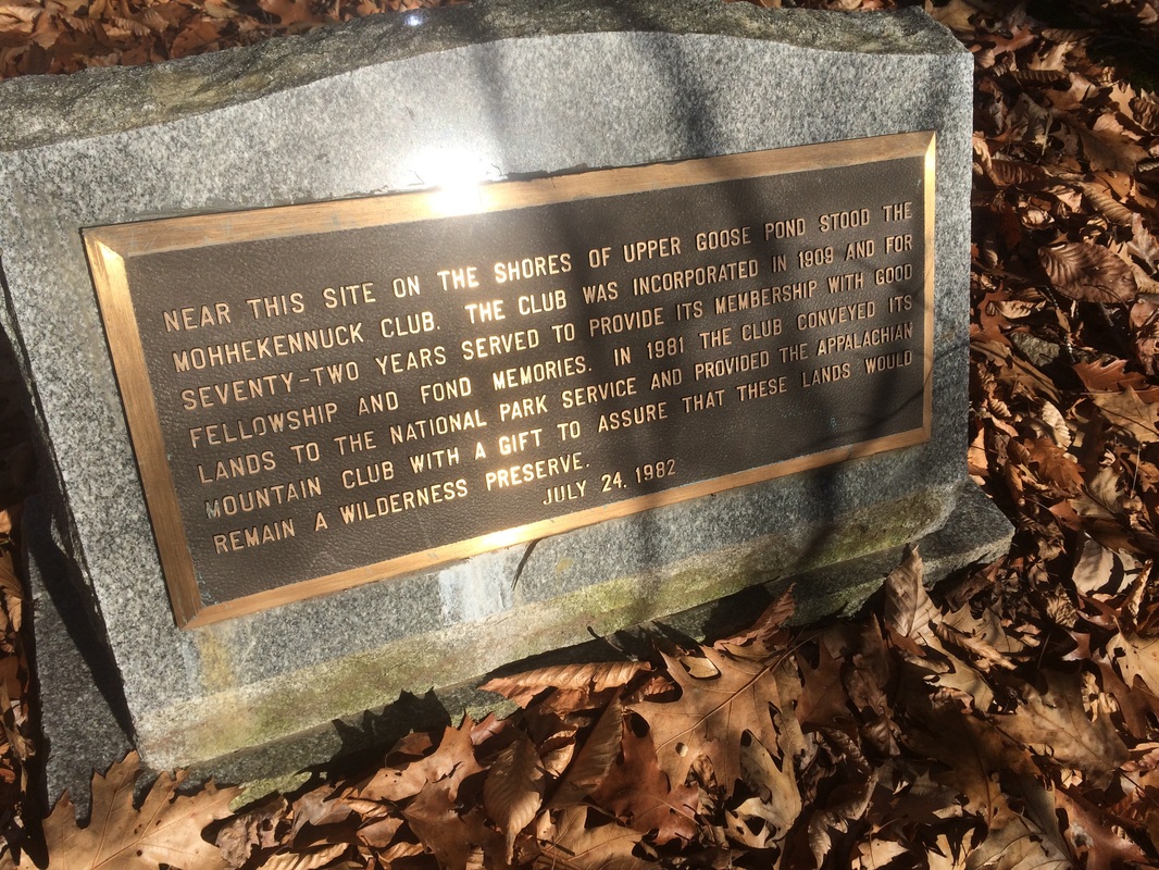
Roughly 7.2 miles in, now on the northeastern edge of the pond, I came to these chimney ruins…
Roughly 7.2 miles in, now on the northeastern edge of the pond, I came to these chimney ruins…
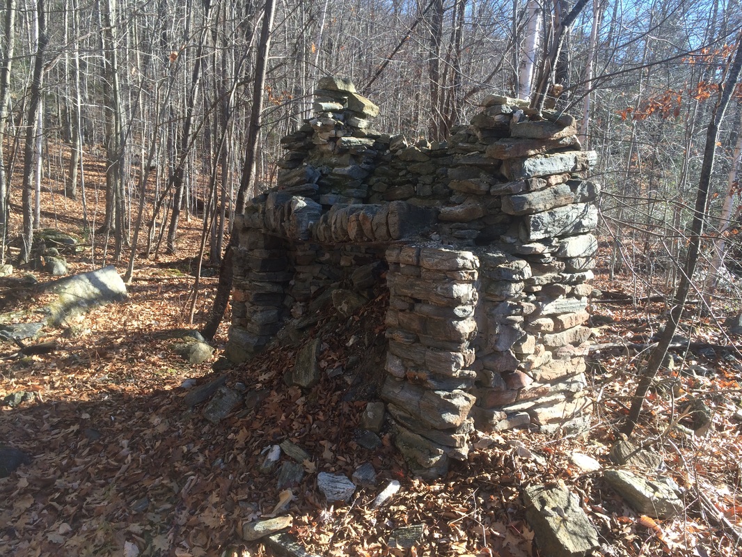
A plaque in the area provides some information about the history here...
At this point, the trail runs close enough to the edge of the pond to allow for some views. A family of ducks would occasionally break the silence by fleeing my presence for the safety of the other side of the pond. This section was very enjoyable. Unfortunately, the trail eventually turns away from the pond.
Approximately 7.4 miles in, I reached my pre-determined turn around point, the side trail for Goose Pond Cabin…
Approximately 7.4 miles in, I reached my pre-determined turn around point, the side trail for Goose Pond Cabin…
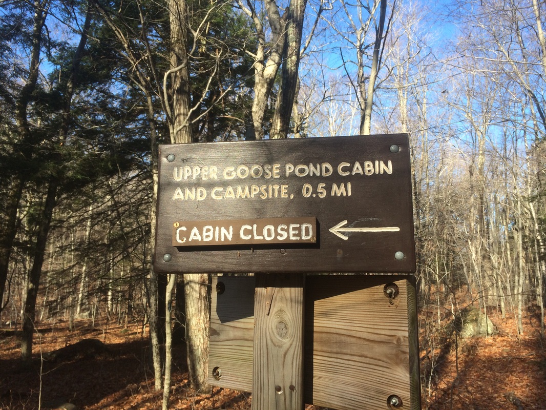
Before turning around and heading back to my car, I wanted to check out the area around the cabin. According to my pre-hike research, the cabin is like the cadillac of shelters on the trail. So, I made the left turn and followed the Cabin Trail for roughly 1/2 of a mile before I could see the signature red siding through the trees…
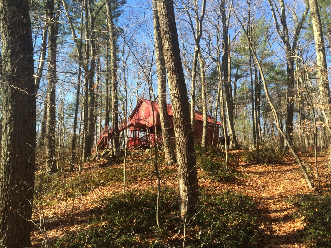
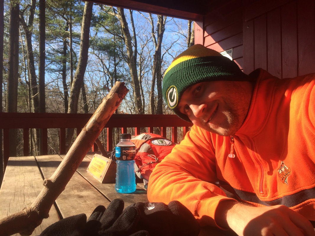
Four walls. Two floors. A rood. The cabin looks really nice. Unfortunately, it was closed for the winter so I spent most of my time on the front patio. I enjoyed the view of the pond, ate my lunch, and took a selfie (my prized walking stick even made the shot)…
After I ate, I noticed a side trail with a sign that read “Dock”. So, I decided to check that out…
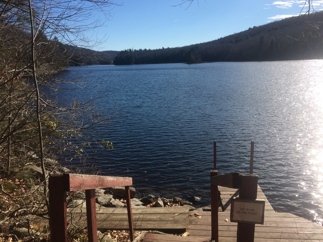
As you might be able to tell from the photo, the view of the pond from the dock is incredible. If the pictures don’t do it any justice, hopefully the two minute video I shot will.
All in all this hike was kind of boring. There really isn’t much to see in the miles from Main Road to Upper Goose Pond. But, the pond itself is worth the trip. If you aren’t a completist nut, I would suggest parking at the location off of Goose Pond Road. You will have a much shorter trip to the pond and it will probably make the pond area that much more enjoyable.
Until next time…
Until next time…
For a map and an elevation graph of my outbound trip, please click here.
Total 2015 Distance: 396.6 (103.4 to Goal)
