Hike #147
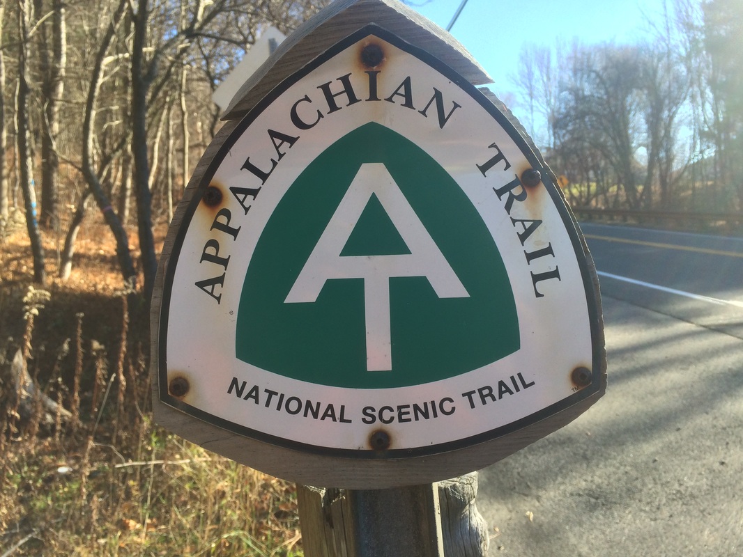
Appalachian Trail
Upper Goose Pond Cabin Trail (Lee, MA) to Finerty Pond (Washington, MA)
Hike Distance: 10.2 Miles
Date Hiked: 11/29/2015
Date Published: 11/29/2015
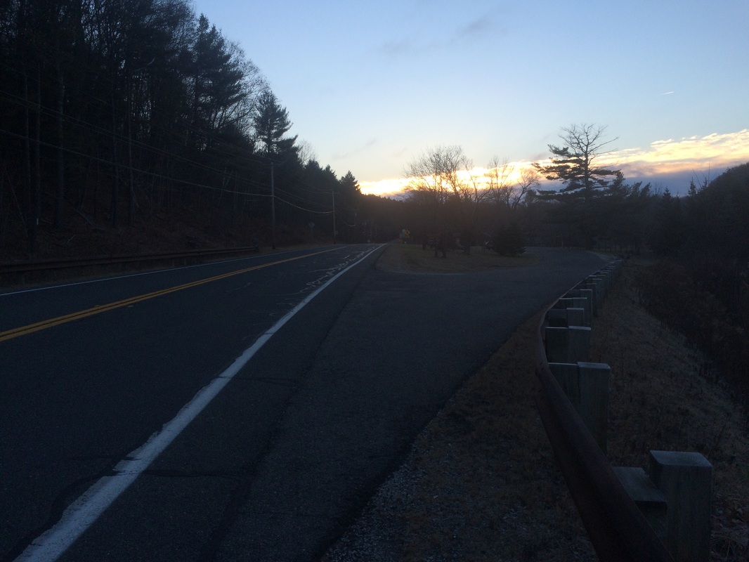
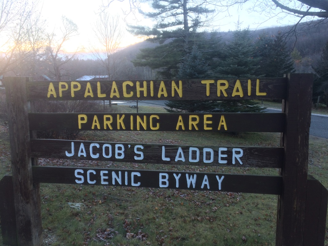
On my previous Appalachian Trail hike (#146), I made my way northbound from Main Road in Tyringham, Massachusetts to the side trail for Upper Goose Pond Cabin. For this hike, I would have to skip ahead a bit and park at the large lot off of Route 20 in Lee, Massachusetts.
To reach the trailhead:
|
|
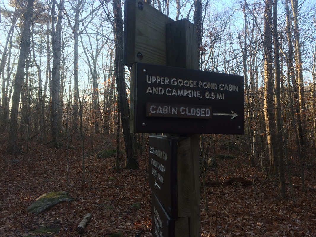
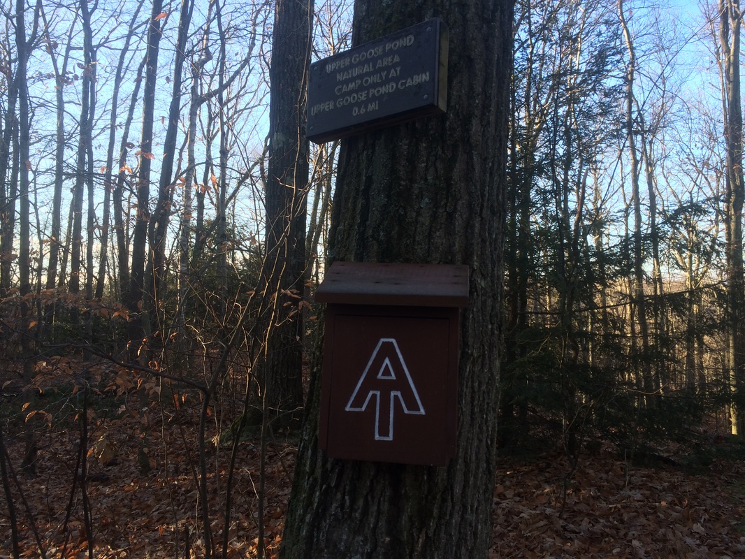
Approximately 1.6 miles in, I reached the side trail to Upper Goose Pond Cabin…
Roughly 2.2 miles in (.6 miles since I started my MapMyHike app), I left the protected area around Upper Goose Pond…
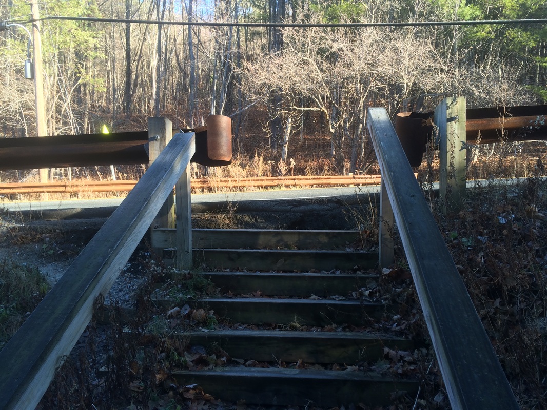
Approximately 2.8 miles in (1.2 miles since I started my MapMyHike app), I crossed over Interstate 90 on a pedestrian bridge specifically for Appalachian Trail hikers. Unfortunately, I didn’t get a picture of the bridge. However, I did shoot a three minute video as I walked over both sides of the highway.
Approximately 3.5 miles in (1.9 miles since I started my MapMyHike app), I crossed a power line cut…
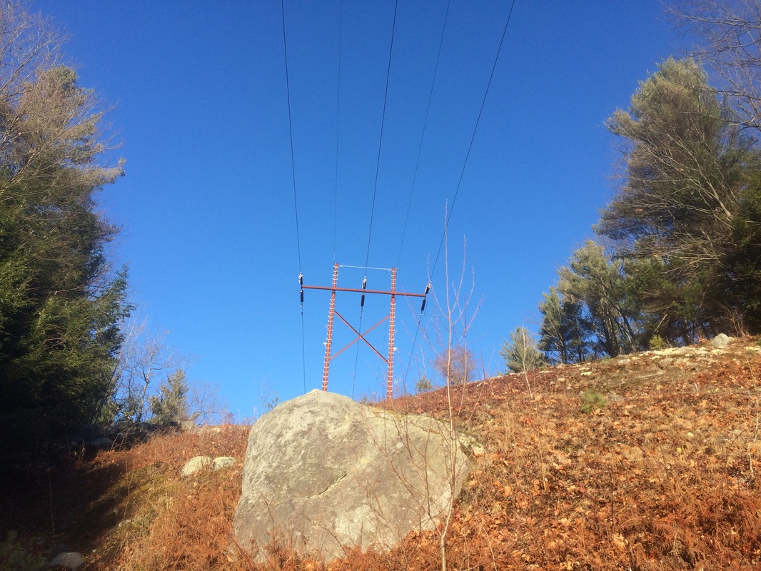
This is only noteworthy because I mentioned in my recap for Hike #144 how infrequently this happens on the AT. Apparently it happens more often than I originally thought.
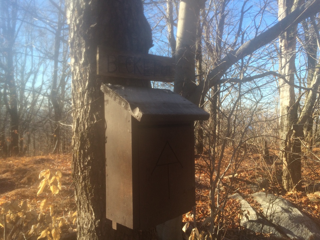
Approximately 4.5 miles in (2.9 miles since I started my MapMyHike app), after making a steep climb, I reached the summit of Becket Mountain (elevation: 2178 feet)…
There wasn’t much to see in the next section, but I passed the halfway point for the Appalachian Trail in Massachusetts. So, that was exciting.
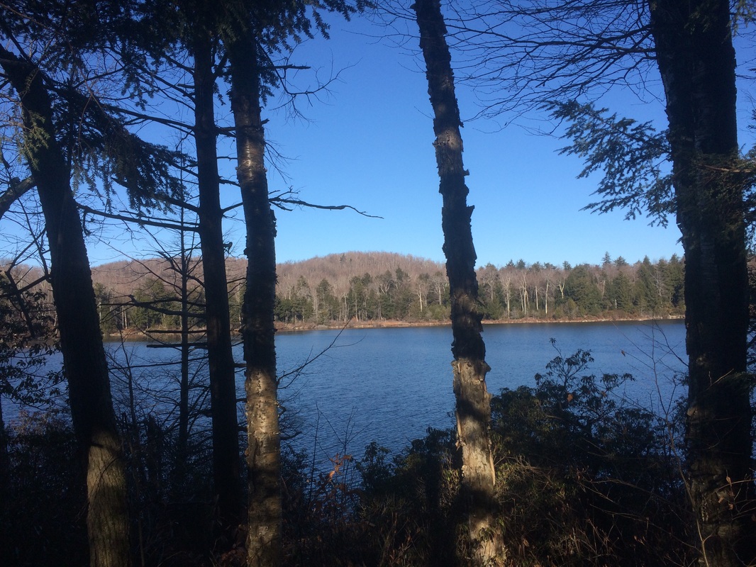
Roughly 6.2 miles in (4.6 miles since I started my MapMyHike app), after a descent from Walling Mountain (elevation: 2220 feet), I neared the edge of Finerty Pond…
Approximately 6.7 miles in (5.1 miles since I started my MapMyHike app), I stopped my MapMyHike app. Then, I rested for a few minutes and snacked on a protein bar before starting the journey back to my car.
All told I hiked more than 10 miles, so this was a successful hike. But, this wasn’t the best section of trail. There really isn’t much to see in the miles from Route 20 to Finerty Pond, as evidenced by the fact there are two mountain summits and no views. Hopefully the next AT hike will be better. I’ve still got a lot of distance to cover in December if I’m going to hit my goal for 2015, and the miles of nothing are really starting to wear on me.
Until next time…
For a map and an elevation graph of my trip from Upper Goose Pond Cabin Trail to Finerty Pond, please click here.
