Hike #149
Appalachian Trail
Washington Mountain Road (Washington, MA) to Kay Wood Shelter Trail (Dalton, MA)
Hike Distance: 14 Miles
Date Hiked: 12/13/2015
Date Published: 12/14/2015
On my previous Appalachian Trail hike (#148), I made my way south from Washington Mountain Road to the area near Finerty Pond. For this hike, I would return to the lot off of Washington Mountain Road in Washington, Massachusetts and make my way northbound to the side trail for the Kay Wood Shelter…
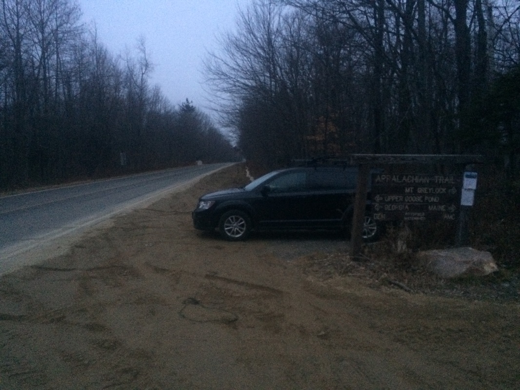
Follow I-91 North to I-90 West (tolls) toward Albany. Take Exit 2 for U.S. 20 East. Turn left on U.S. 20 East. In approximately 4 miles, turn left on Becket Road. In approximately 2 miles, bear left on Yokum Pond Road. In approximately 1 mile, bear right on County Road. In approximately 1.5 miles, turn left on McNerney Road. McNerney Road becomes Washington Mountain Road. The parking location is on the right side of the road approximately 5 miles from the turn off of County Road…
On the day before this hike, I spent some time in Rhode Island with my good friends/bandmates working on some new music. We’ve been flirting with the idea of “getting the band back together” for quite some time and it seems it will finally come to fruition. If you are a fan of independent music, you can check us out on social media sites such as FaceBook and YouTube. If local music isn’t your thing, just know the progress we made…and the added bonus of seeing friends I hadn’t seen in a while…put me in a great mood for this hike. I was so excited, I was up and at the trailhead even earlier than usual. Sadly, as a result of the early morning start, the first couple of pictures aren’t of the best quality.
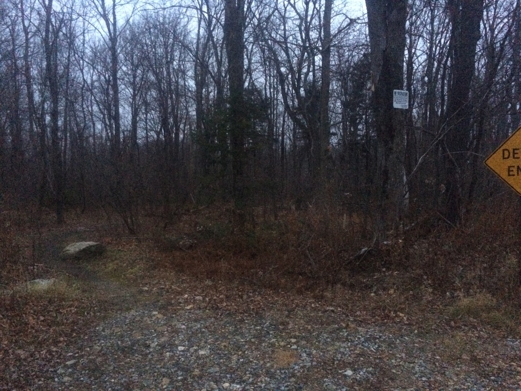
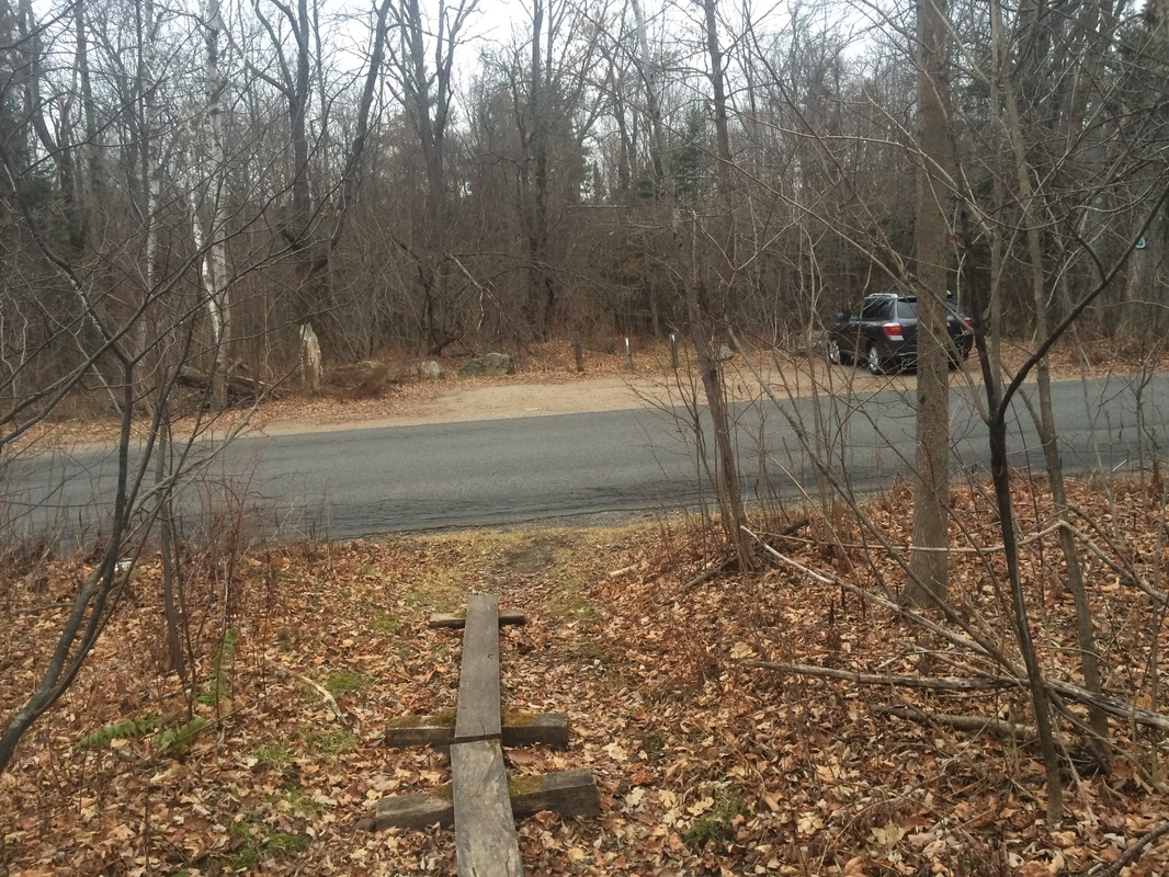
From Washington Mountain Road, the northbound trail heads to the left of a “Dead End” sign, barely visible in the photo below…
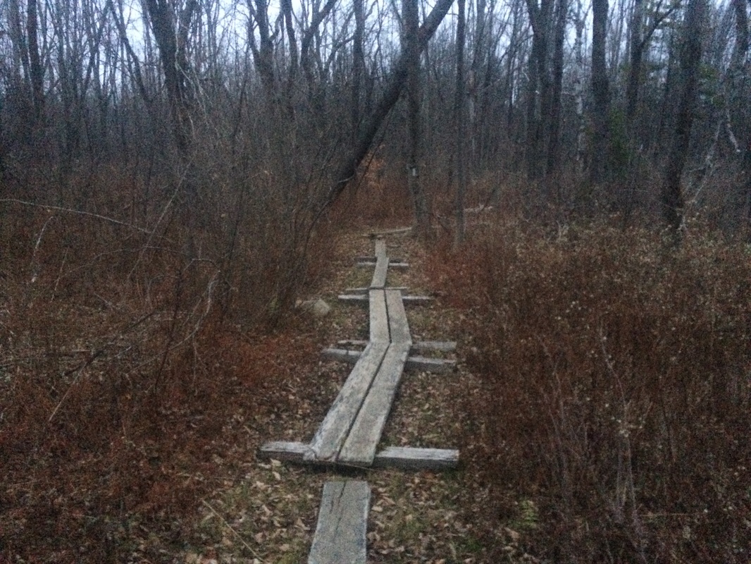
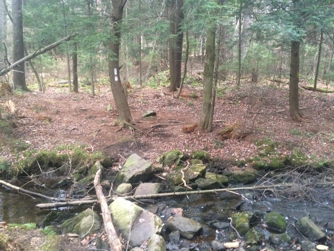
Approximately 2.1 miles in, I crossed a stream near a beaver pond…
Roughly 2.4 miles in, what had been an easy walk through the woods turned to a typical Appalachian Trail hike when I found myself staring at a fairly steep 50 foot climb. I tried to get a picture of the interesting rock feature which the trail climbs up/over/around, but the pictures never do these features the proper justice. Immediately beyond this elevation change, the trail flattens out for a bit. But this feature was a sign of the elevation changes to come later in the day.
Approximately 3.1 miles in, I crossed Blotz Road…
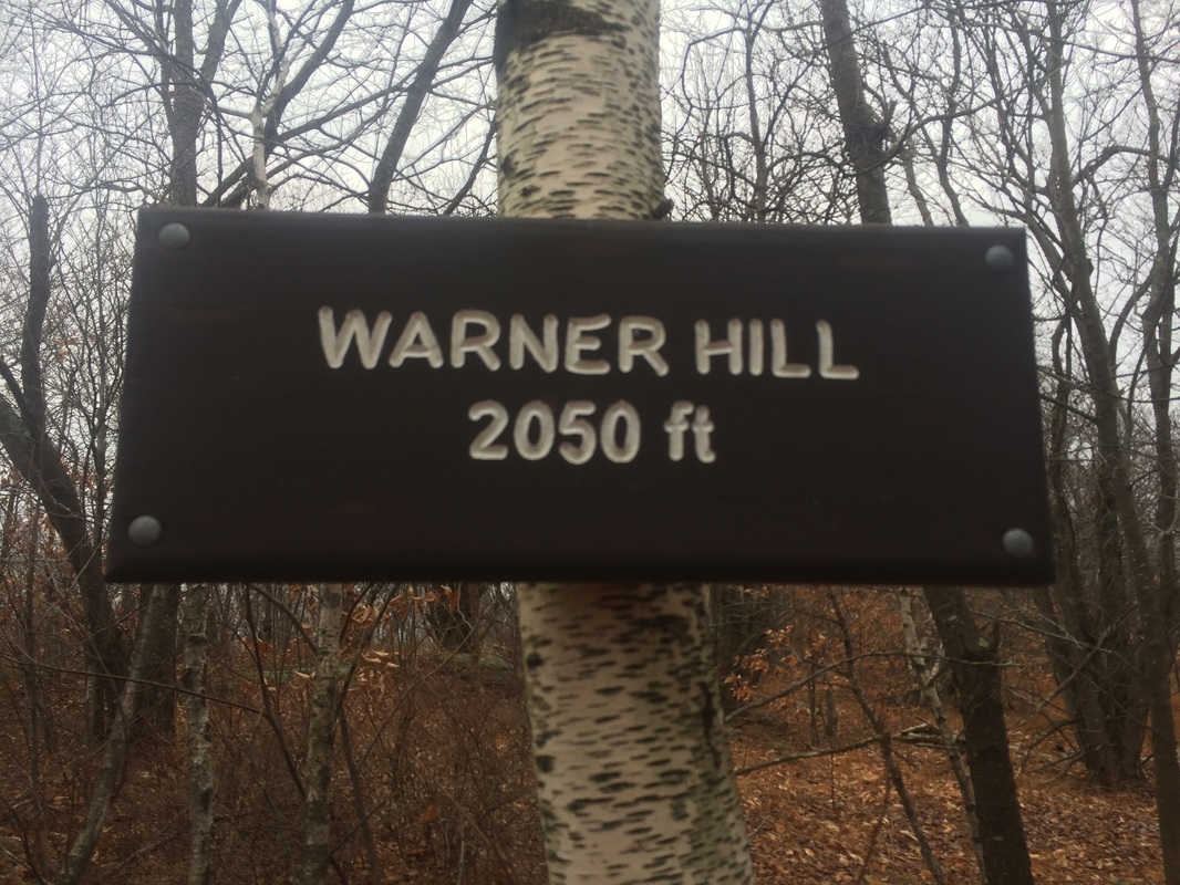
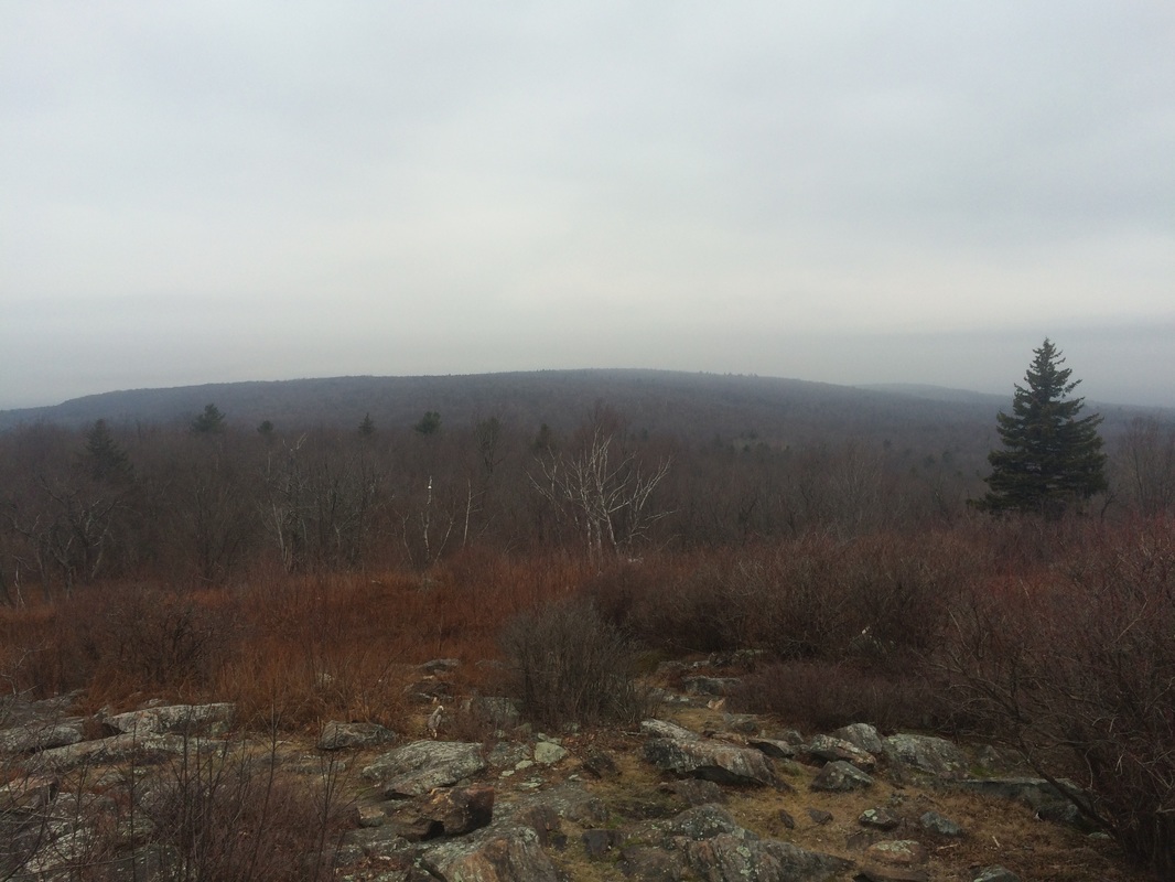
Roughly 3.9 miles in, I reached the summit of Warner Hill (elevation: 2050 feet)…
As it turns out, the section between Warner Hill and Kay Wood Shelter is more challenging than the section between Washington Mountain Road and Warner Hill. The elevation changes aren’t quite as significant as some of the other sections I’ve done recently, but it does go from 2050 feet to 1850 feet and back to 2100 feet. The change is gradual but noticeable. There also isn’t a lot to see in this 2.8 mile section so I don’t have any pictures.
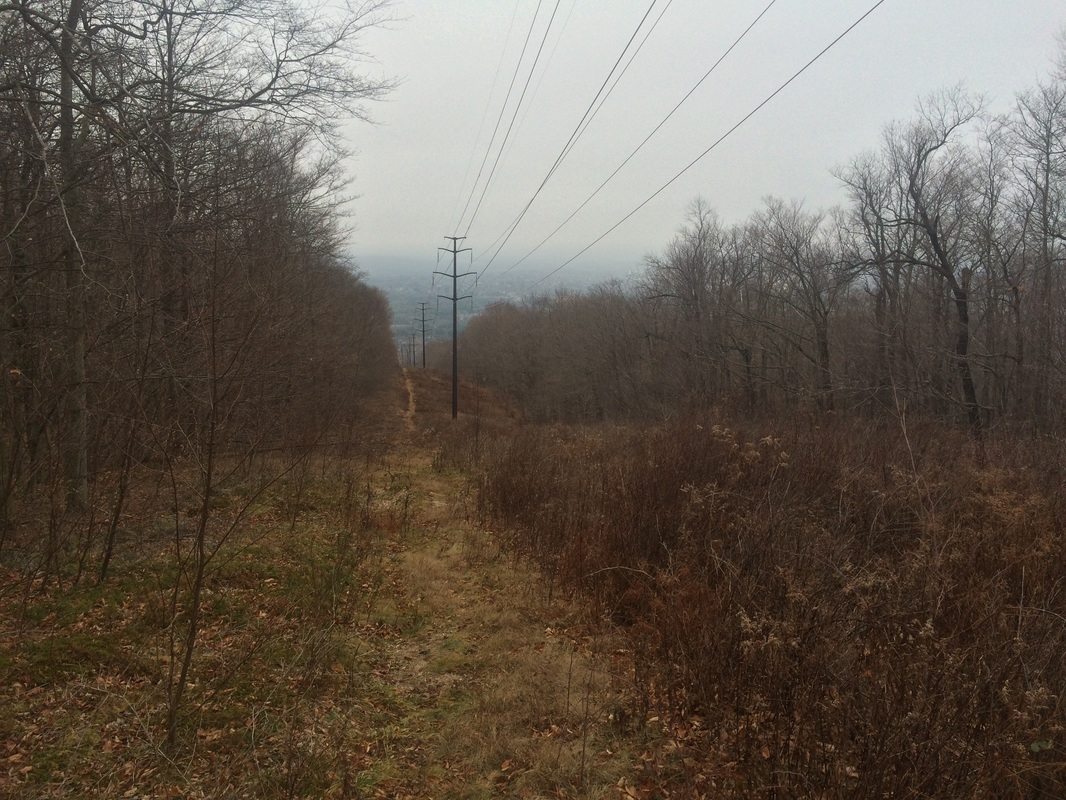
Approximately 6.7 miles in, I crossed a power line cut…
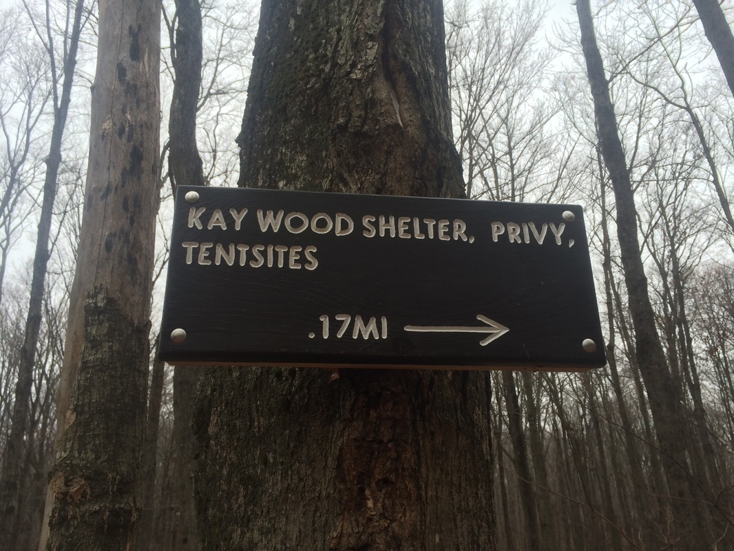
At this point, I started to wonder if I missed the side trail for Kay Wood Shelter. According to my pre-hike research, and the signs near Blotz Road, the shelter should be around the 6.7 mile mark. I glanced at my watch and saw it was getting close to 10:00. If I was going to make it back to my car by 1:00, I would need to turn around soon. I looked at my GPS app and noticed I was approaching Grange Hall Road. I wasn’t sure how far away the road was from where I was standing, but I decided to make an attempt at reaching it. Thankfully, only a few steps after I made this decision, I spotted the side trail for the shelter.
Roughly 7.0 miles in, I reached the Kay Wood Shelter Trail…
This was a great hike. There weren’t a lot of elevation changes, which was nice, but there were still enough that I felt like a got a good workout. Honestly, other than a few clouds, this hike was perfect. Best of all, I’m continuing to close in on 500 miles in 2015. I’ve got one more AT hike and two local hikes planned before the end of the year. So, barring a catastrophic injury, I think I’m going to hit my goal.
Until next time…
For a map and an elevation graph of my outbound trip, please click here.