Stowe-Away 2015
Hikes # 138 & 139
Mount Mansfield Area
Stowe, VT
Hike Distance: 8+ Miles & 5+ Miles (13+ Total Miles)
Dates Hiked: 9/20/2015 & 9/23/2015
Date Published: 9/26/2015
Hike 138
Every year, Jaci and I celebrate our anniversary in Stowe, Vermont. Our actual anniversary isn’t until October 23rd, but we’ve experienced bad weather on our previous anniversary trips. So, in recent years we’ve moved the celebration by a few weeks in order to take advantage of the seasonal changing of the leaves. This year, our friends Eric and Tracy joined us for the first few days of the trip. The morning of our first full day, Eric and I took Roscoe for a hike up Mount Mansfield.
On our 2014 trip, I hiked with Roscoe on the Underhill side of the mountain and…the following day…drove up the toll road with Jaci for a short hike to the summit on the “chin”. This year, my goal was to take the more challenging way up the mountain…not by driving, but by hiking all the way from the front entrance of our hotel. And, somehow, I convinced my friend Eric to join me.
My plan was to start out by finding the trailhead for the Haselton Trail, near the gondola base on the west side of Route 108…across from the resort where we were staying. So, we followed Route 108 south for a bit before turning right and entering a large parking lot, which is mainly used by skiers in the winter. On this day, at this early hour, the lot was empty. Approximately 7/10 of a mile in, after a few minutes of searching for the trailhead, we gave up and decided just to hike up one of the ski trails...
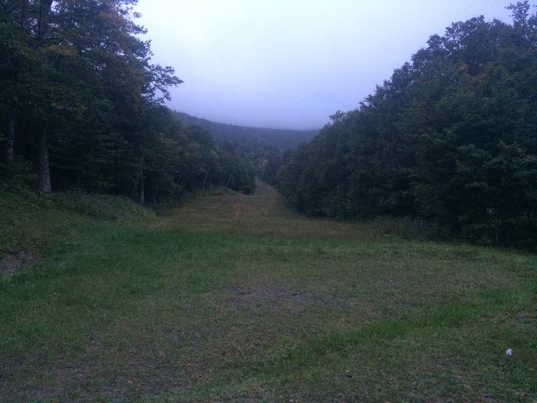
Roughly 3/4 of the way up the first section, we heard some leaves rustling in the woods to our right (between the ski trail we were on and the next ski trail over). We never saw anything, but whatever was rustling the leaves was big and moving slowly. We thought it was either a bear or a moose. And, since we couldn’t hear what sounded like antlers knocking against tree branches, we assumed it was a bear. For the first time in the two years since I purchased it, I took the safety off of my bear mace.
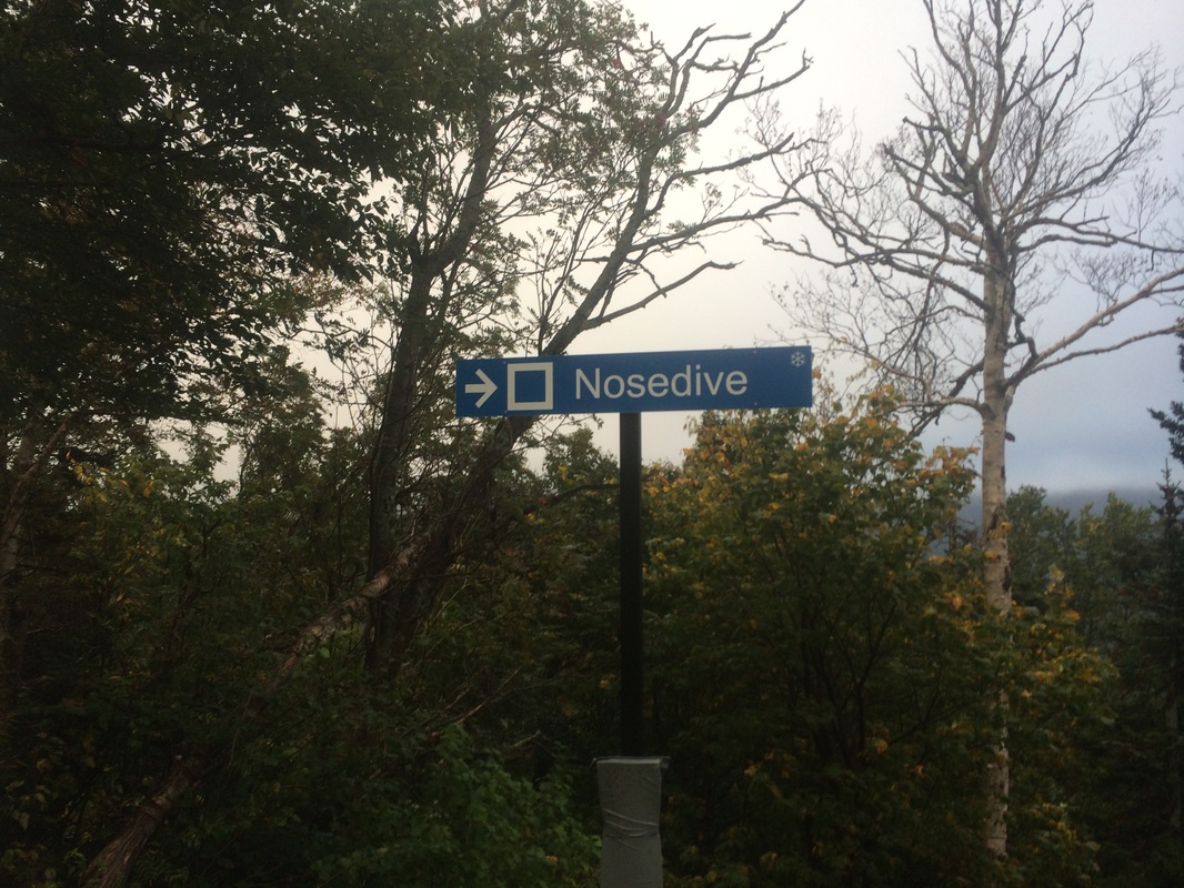
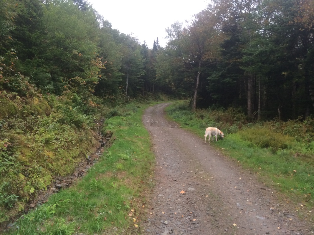
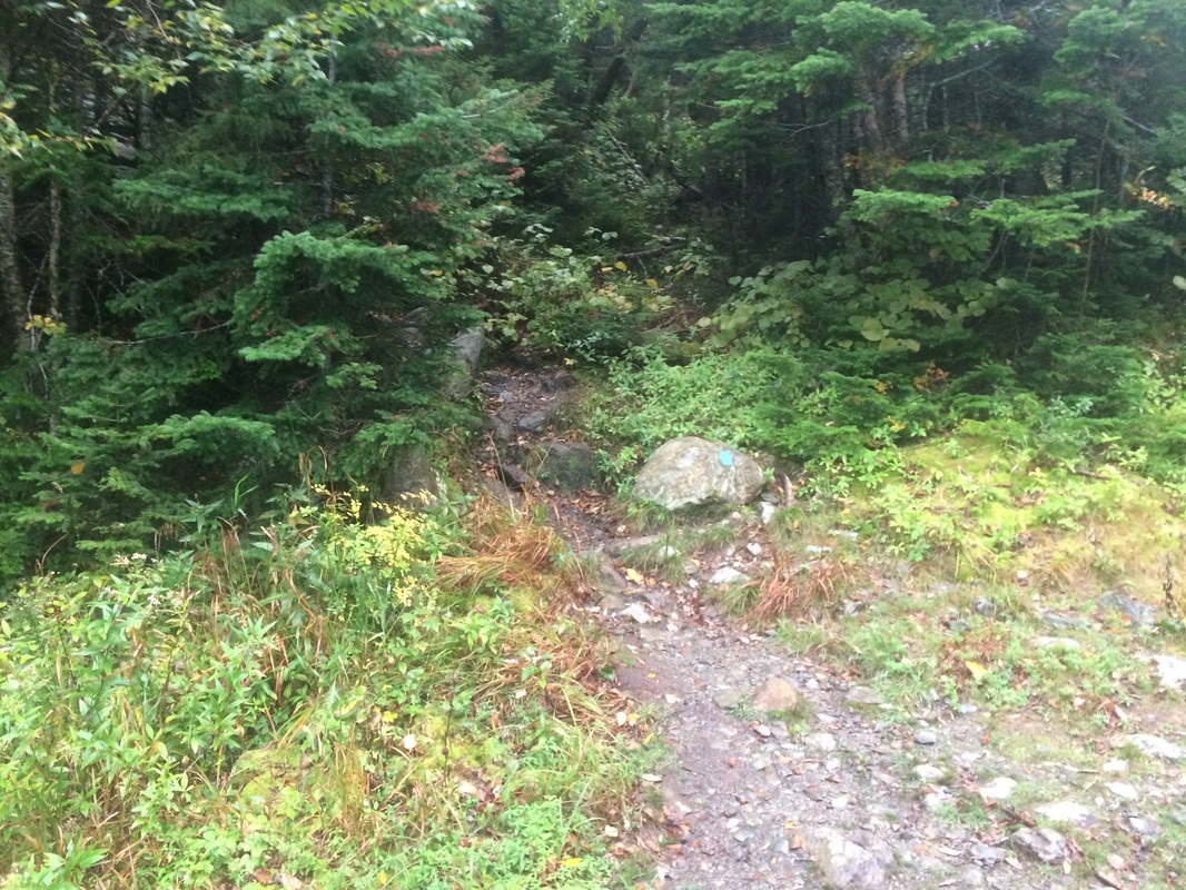
After a few minutes of what I will call paranoid excitement, we started making our way back up the ski trail again. Approximately 1.7 miles in, the ski trail was intersected by a gravel access road. Having had enough of the climbing for a bit, we decided to make a slight right and follow the gravel road. It was at this time we saw a sign for the Nosedive Trail and were able to orient ourselves on the map…
|
|
|
|

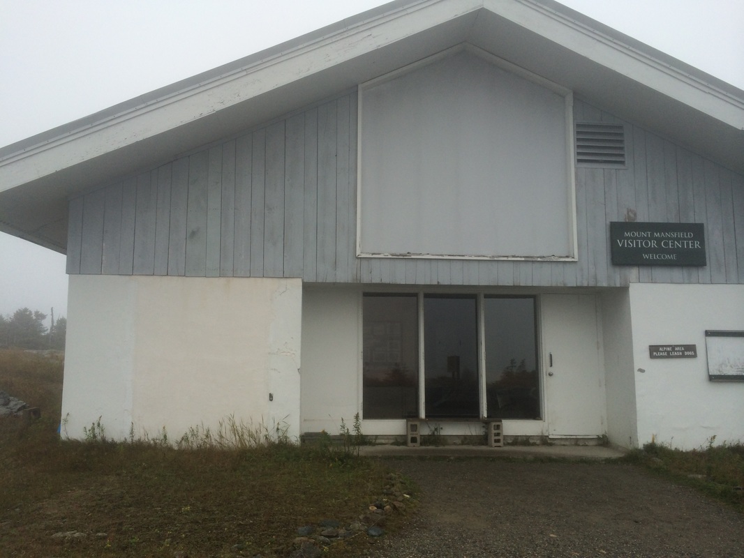
Approximately 2.5 miles in, we reached the intersection of the Toll Road and…after exploring the area around the “octagon” made a right turn to follow the road…
|
|
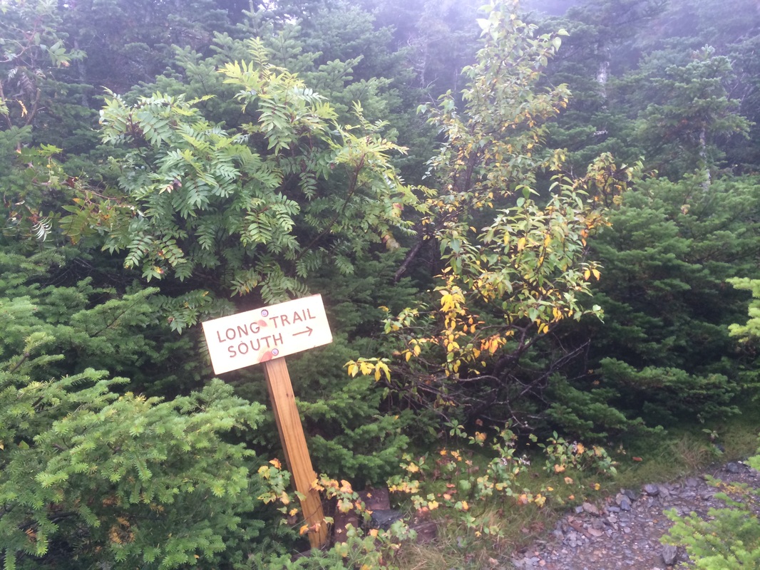
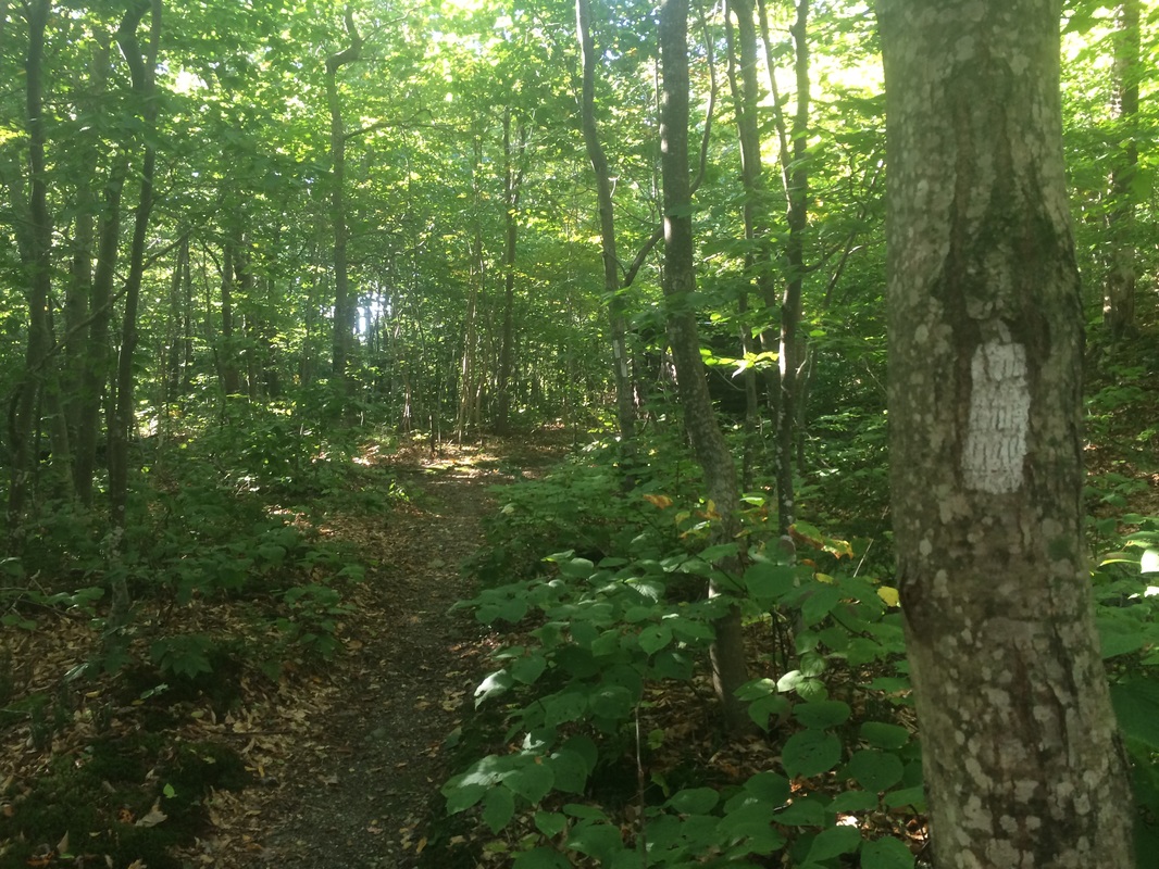
Following the white blazes of the Long Trail to the right would bring us north to the summit of Mount Mansfield on the “chin”. I’d already hiked that way last year with Jaci and Roscoe. And, it would be pointless to take Eric that way with the overcast weather. So, we made a left and followed the Long Trail to the south…
I remembered I had my Go Pro camera in my pocket so I pulled that out and shot about 90 seconds of video. Included are such exciting moments as…me breathing heavily and Roscoe sniffing for a good spot to pee. Thrilling stuff!
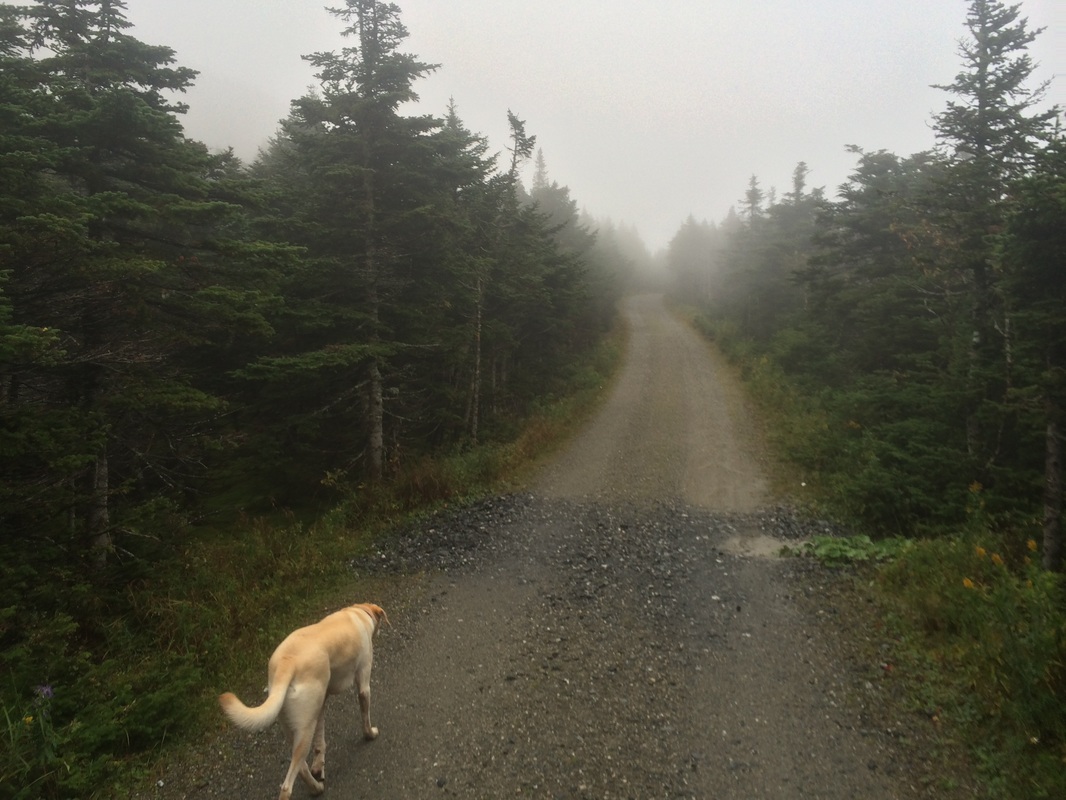
Thankfully, the trail doesn’t follow the access road for long and we quickly found ourselves back under the cover of trees.
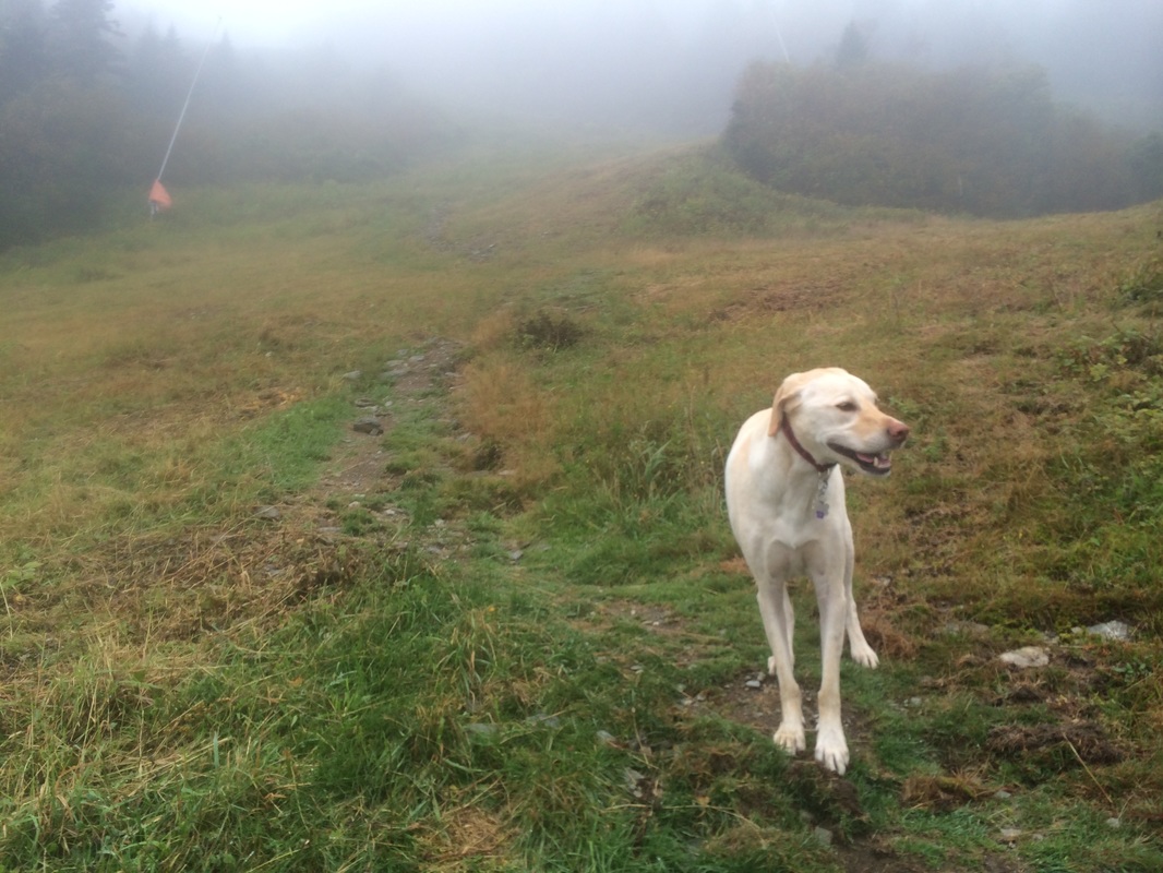
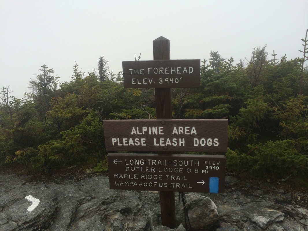
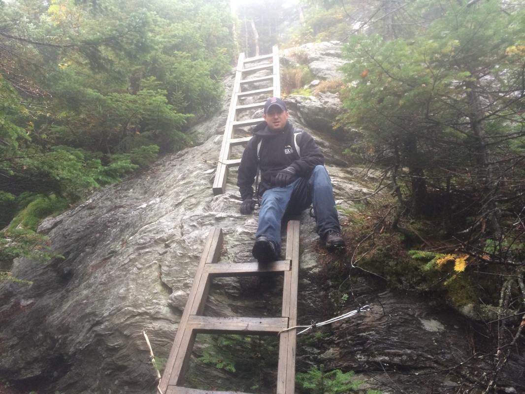
Approximately 3.5 miles in, we entered a clearing and found a sign indicating we had reached the “forehead”, elevation: 3940 feet…
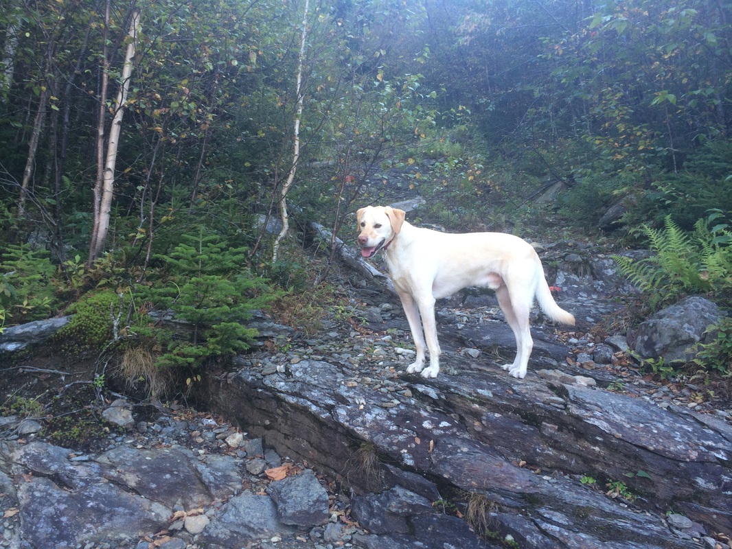
As it turns out, Roscoe IS a ladder-climbing dog (in his own way) and had little trouble with the first set of ladders, this double-ladder section…
This was a great hike and I was happy to have the company of a long-time friend. I was disappointed the weather didn’t cooperate. But, that was the only negative aspect of this hike.
For a map of this hike, along with elevation data, please click here.
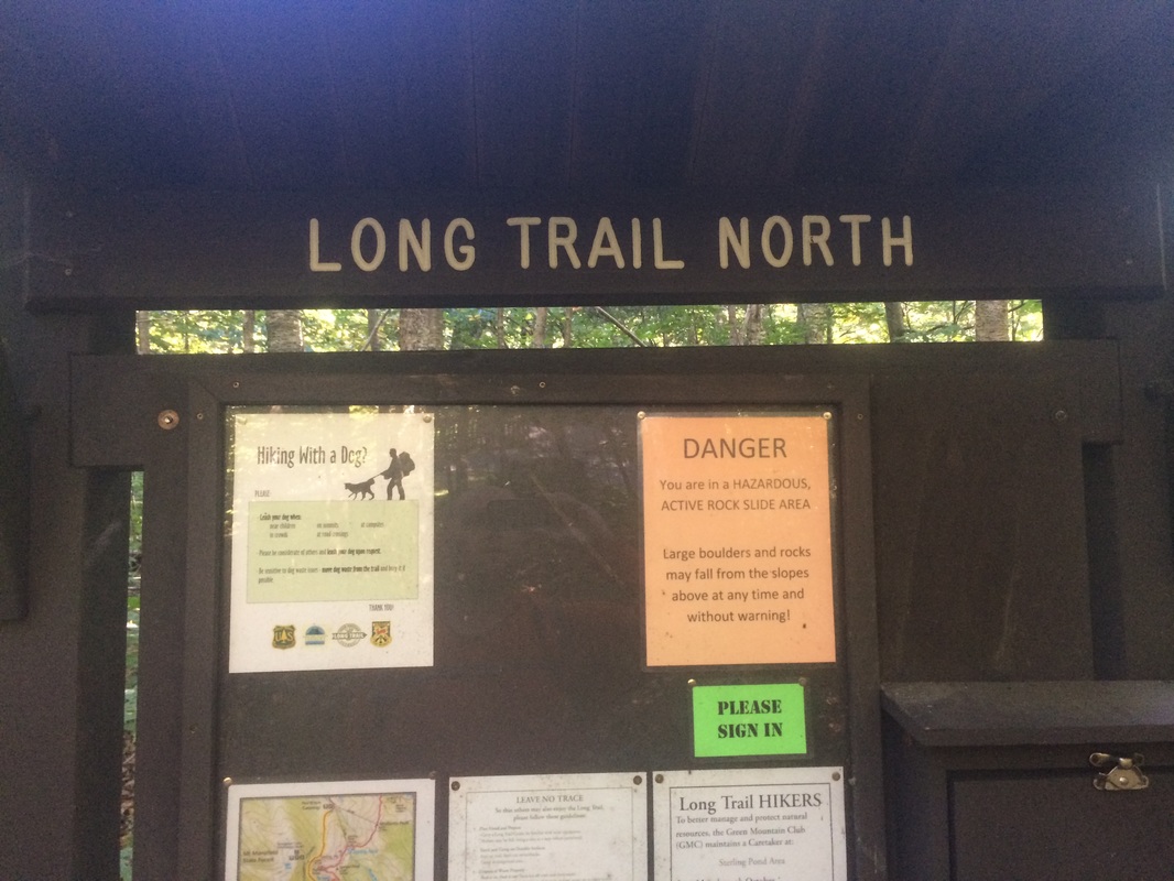
Three days later, after Eric and Tracy left the quiet comfort of Stowe to return to work, I was back on the trail with Roscoe. This time, my plan was to locate the trailhead for the Long Trail to the north of Route 108 in Smugglers’ Notch.
Finding the trailhead seemed like an easy task, but proved more difficult than I originally anticipated. I walked along the side of Route 108 for a mile or so before realizing I must have passed the trailhead. Later, after turning around and heading back towards our hotel, I found the trailhead…at the south end of Smugglers’ Notch Picnic Area. It was right where my DayHiker’s Guide to Vermont said it would be…and right where I had been earlier, but turned away and kept walking up Route 108 because a maintenance vehicle was blocking the sign at the trailhead.
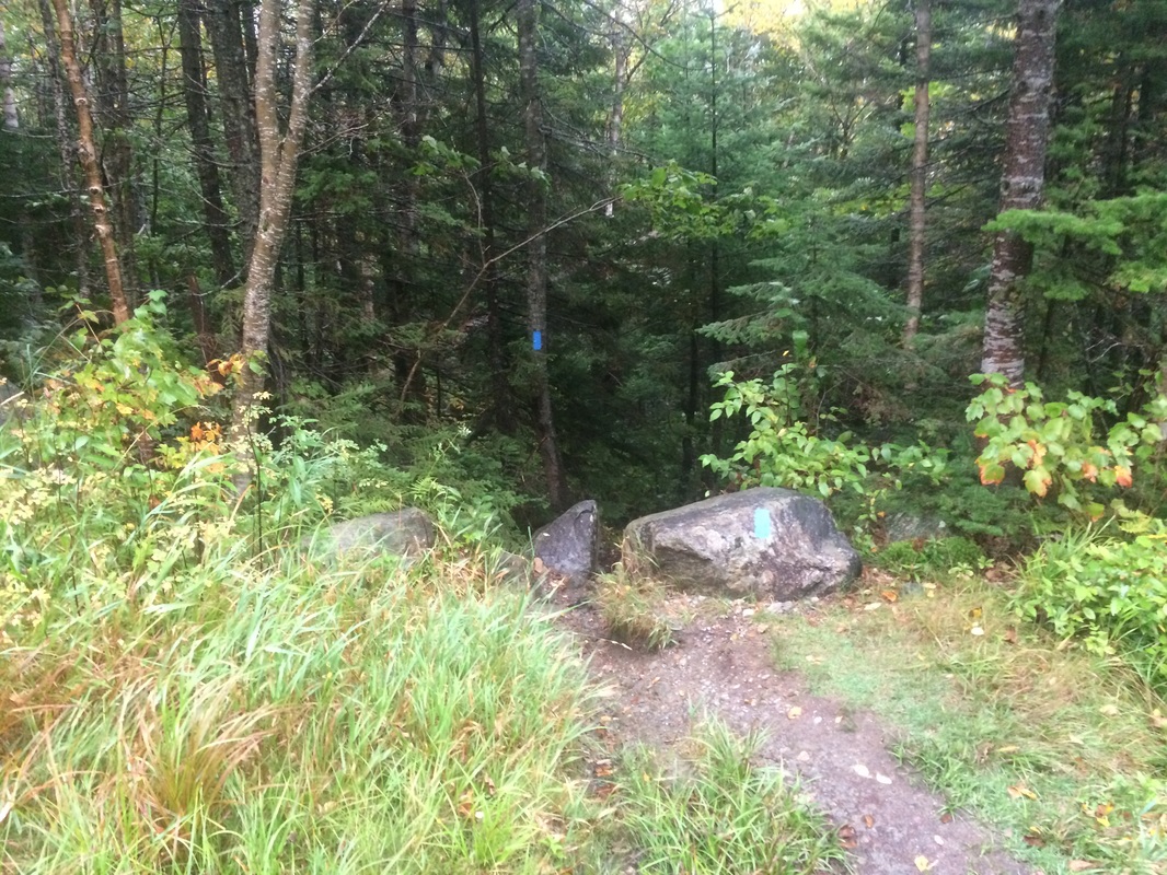
I vented my frustrations with some colorful language which I won’t repeat here. All is well that ends well because, in the end, I found the trailhead and started following the white blazes of the Long Trail…
|
|
|
|
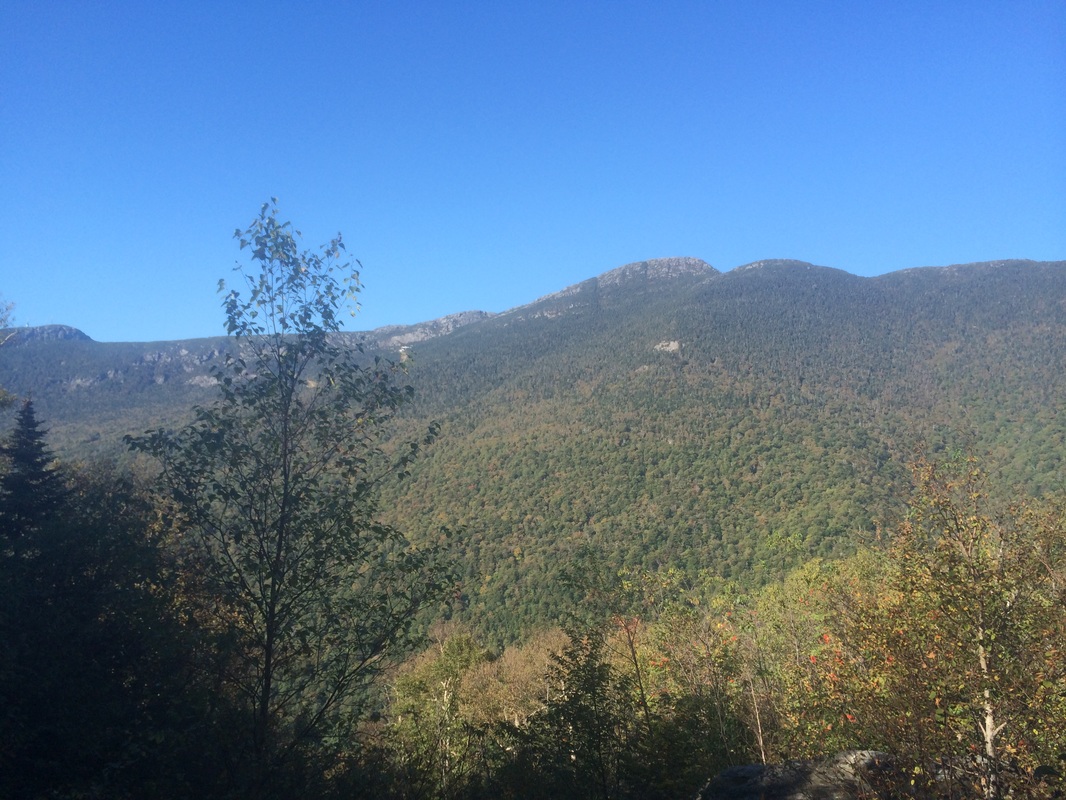
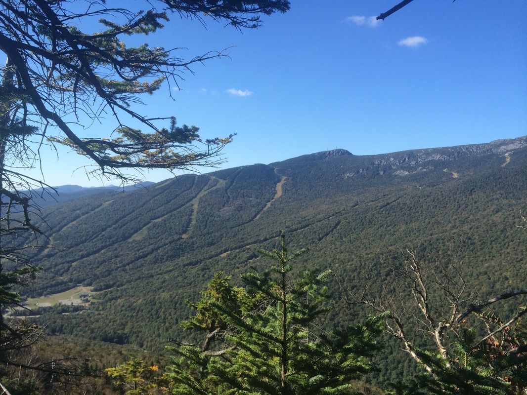
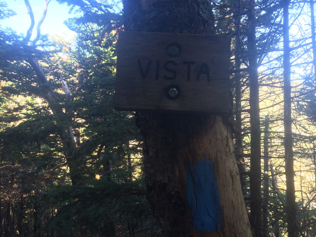
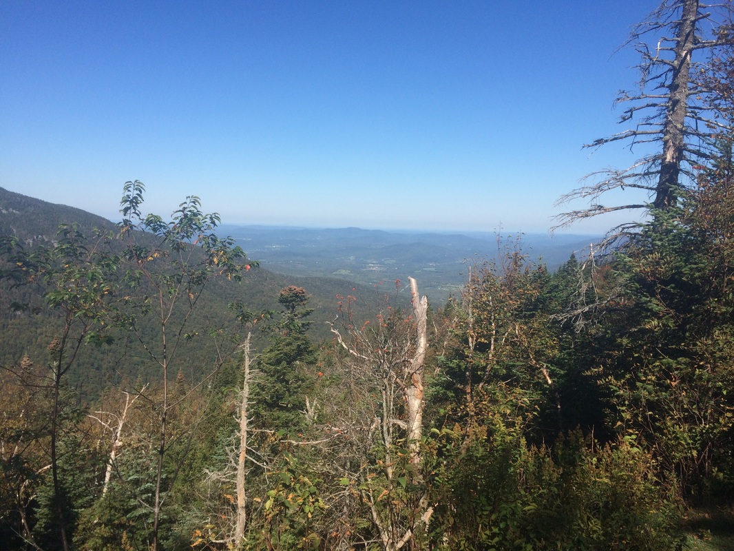
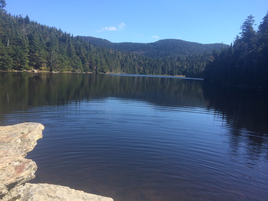
I recalled the “DayHiker’s Guide” describing the vista at the end of this spur trail as “towering over Smugglers’ Notch”. So, even though the trail headed steeply downhill, I thought I’d give it a shot. I was not disappointed. The view is absolutely breathtaking. The pictures I took on my iPhone didn’t do the view any justice so I pulled out the Go Pro again. This time, the video actually was thrilling. I’ve had my Go Pro for roughly two months and this…THIS…is the reason I bought it.
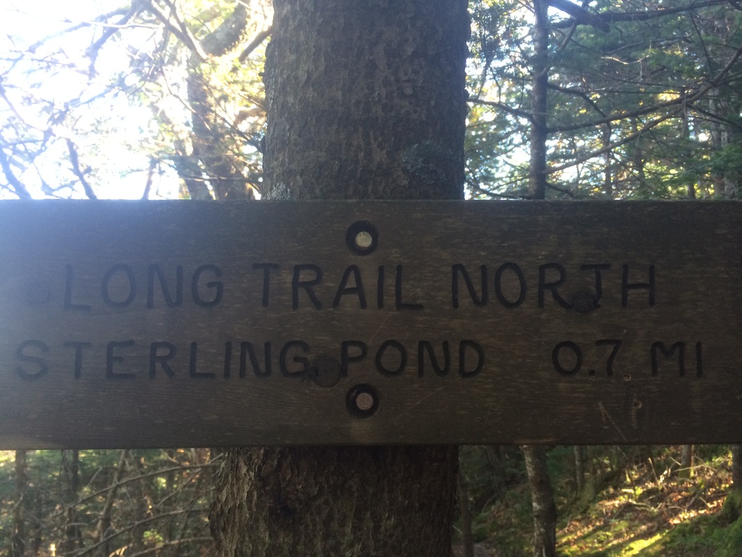
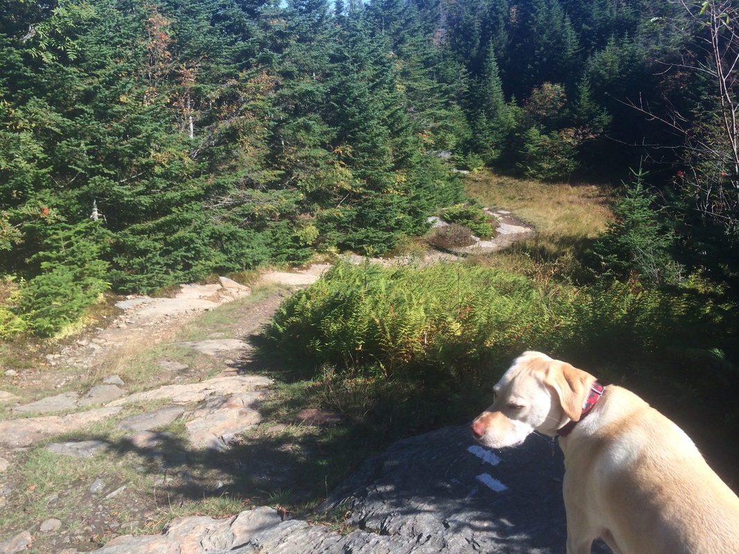
After enjoying the view and climbing back up the spur trail, now roughly 2.6 miles in, we rejoined the Long Trail and continued heading north towards Sterling Pond.
Approximately 3.4 miles in, we reached Snuffy’s Ski Trail…
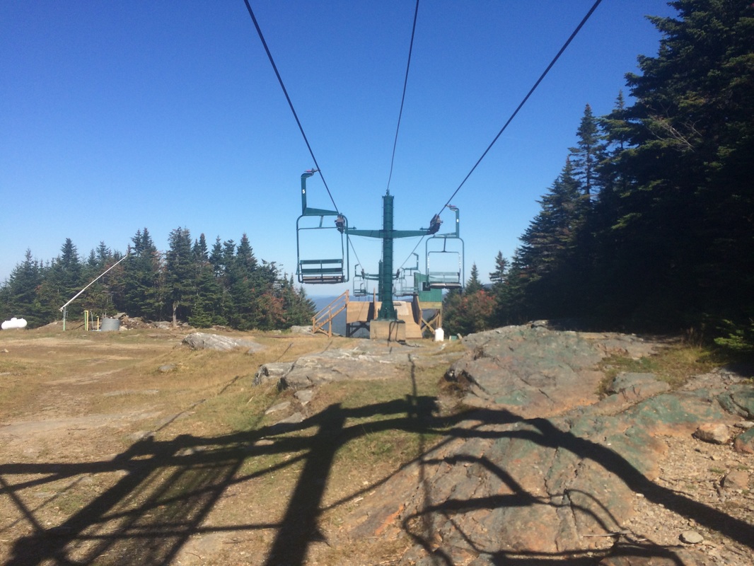
Approximately 4.0 miles in, still following the LT northbound, we passed under one of the chairlifts from Smugglers’ Notch Resort…
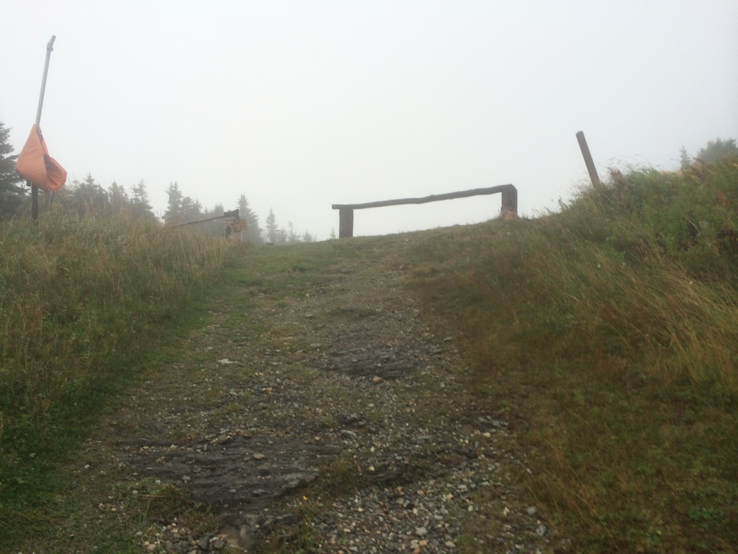
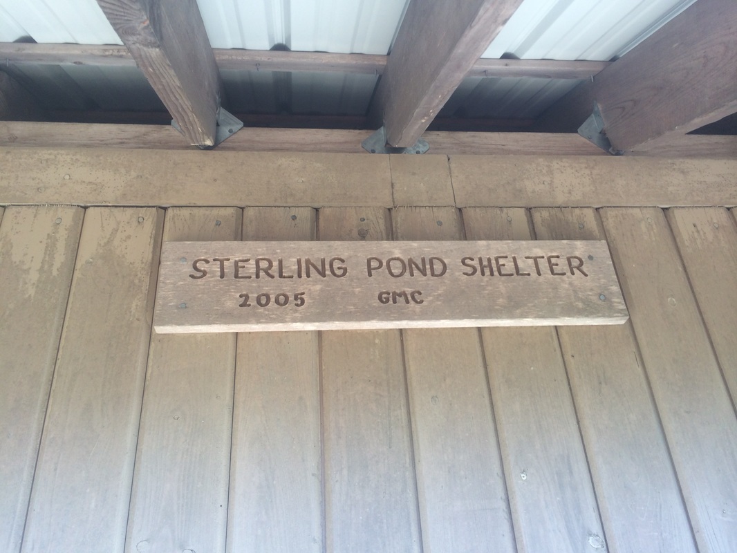
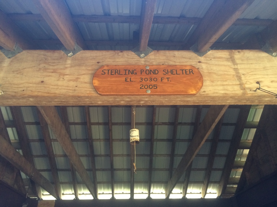
Roughly 4.1 miles in, we reached our pre-designated turn-around spot for this hike at Sterling Pond Shelter…
|
|
|
|
Approximately 5.0 miles in, we linked back up with the LT at the intersection of Snuffy’s Ski Trail. Here, with my phone battery fading and still unsure of exactly how I would make it back to the hotel, I decided to stop my MapMyHike app. I wanted to make sure I had enough battery later on should I need to make a call to have Jaci come pick me up.
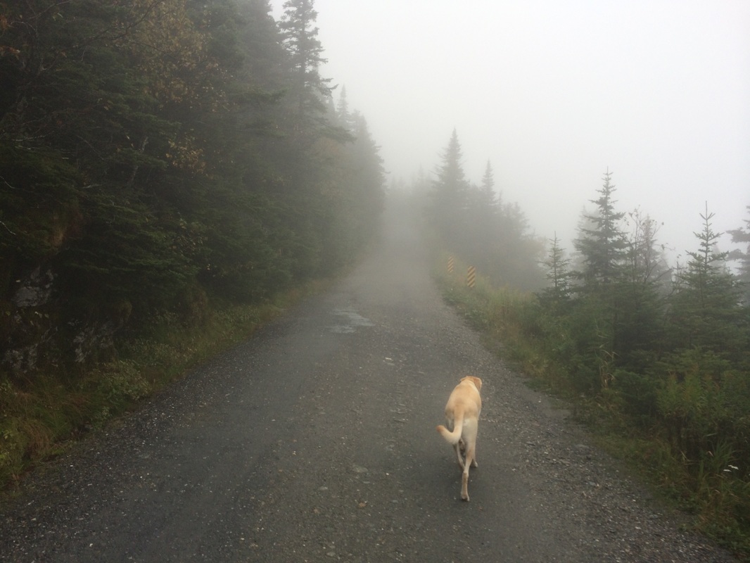
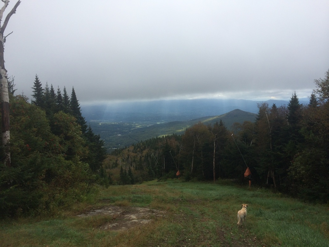
From the intersection of trails, we made a left and followed Snuffy’s Ski Trail south to an area which overlooks our hotel. I asked a couple of maintenance workers, who appeared to be getting the chairlifts ready for the upcoming skiing season, for the best route back to the hotel. They reluctantly suggested the Sterling Ski Trail, which was currently just a loose-gravel maintenance road.
I followed the Sterling Ski Trail until I reached the paved Spruce Peak Road. I passed by some of the houses/condos which Jaci and I have always admired from afar. Eventually, I found my way back to the small nature trail which circles our hotel and took the elevator up to our room.
This was a a top 5 hike. The view from the Elephant’s Head Vista was enough to make me forget about my early struggles to find the trailhead. And, the area around Sterling Pond was very enjoyable. I can’t wait until next year when, hopefully, I’ll be able to pick up where I left off and continue my journey north along the Long Trail.
Until next time…
For a map of this hike, along with elevation data, please click here.
